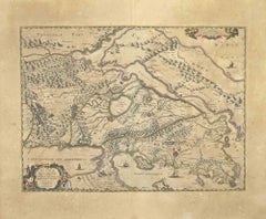
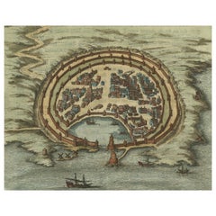
Items Similar to Peloponnesvs (Greece) - Etching by Johannes Janssonius - 1650s

Want more images or videos?
Request additional images or videos from the seller
1 of 6
Johannes JanssoniusPeloponnesvs (Greece) - Etching by Johannes Janssonius - 1650s1650s
1650s
$3,093.53
£2,301.66
€2,600
CA$4,284.97
A$4,591.27
CHF 2,462.90
MX$54,384.26
NOK 31,068.06
SEK 28,422.47
DKK 19,810.77
About the Item
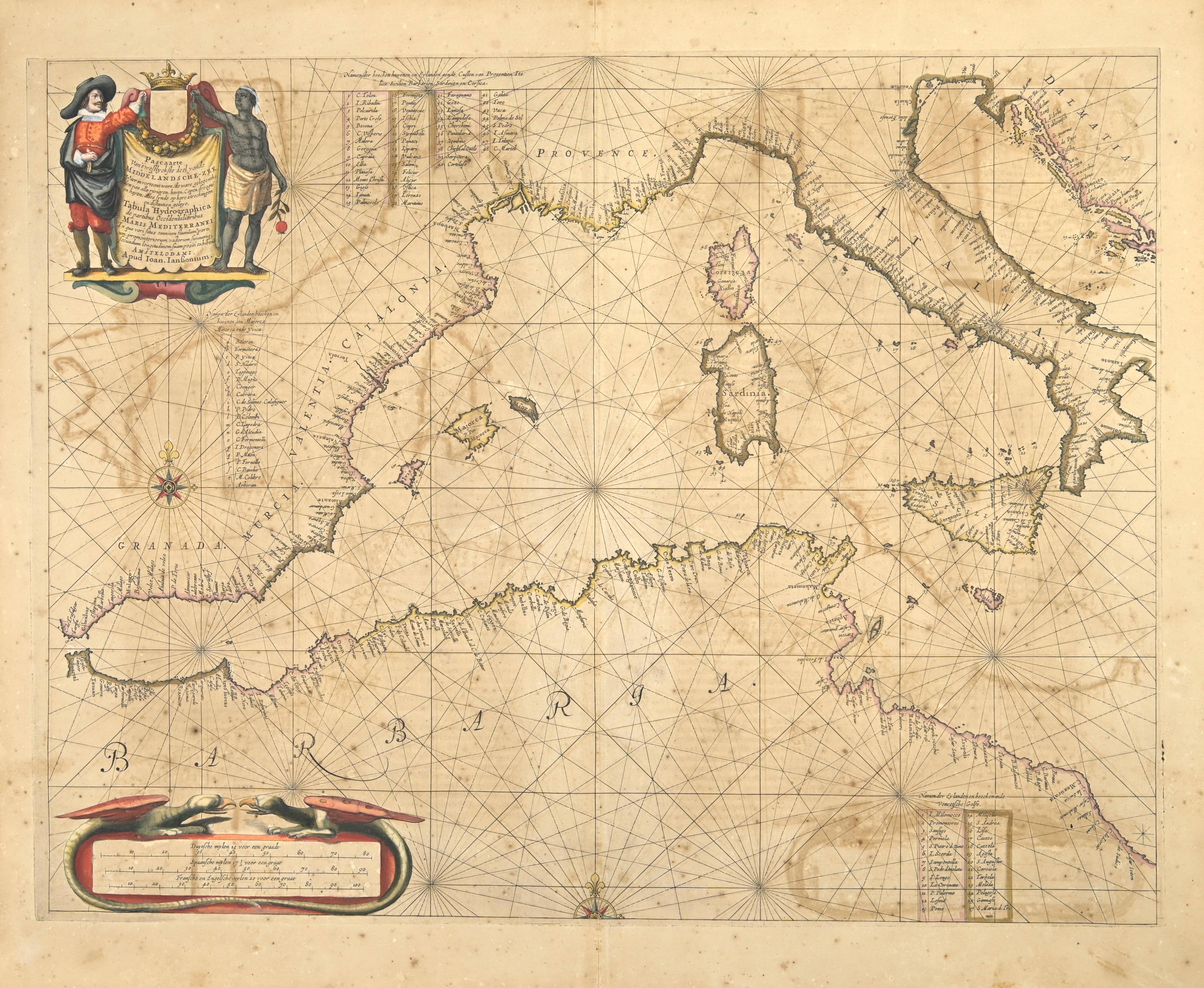
Peloponnesvs is an antique map realized in 1650 by Johannes Janssonius (1588-1664).
The Map is Hand-colored etching, with coeval watercoloring.
Good conditions with slight foxing.
From Atlantis majoris quinta pars, Orbem maritimum [Novus Atlas, volume V: carte marittime]. Amsterdam: Janssonius, 1650. First edition of this famous work by Janssonius also known as the "Waterwereld"; is the first "maritime atlas (in the true sense of the word) printed in the Netherlands" (Koeman) and was published as the fifth volume of the Atlas Novus.
- Creator:Johannes Janssonius (1588 - 1664, Dutch)
- Creation Year:1650s
- Dimensions:Height: 19.3 in (49 cm)Width: 23.23 in (59 cm)Depth: 0.04 in (1 mm)
- Medium:
- Movement Style:
- Period:1650-1659
- Framing:Framing Options Available
- Condition:Insurance may be requested by customers as additional service, contact us for more information.a.
- Gallery Location:Roma, IT
- Reference Number:Seller: T-1414041stDibs: LU650312841262
About the Seller
4.9
Platinum Seller
Premium sellers with a 4.7+ rating and 24-hour response times
1stDibs seller since 2017
7,916 sales on 1stDibs
Typical response time: 1 hour
- ShippingRetrieving quote...Shipping from: Grasse, France
- Return Policy
More From This Seller
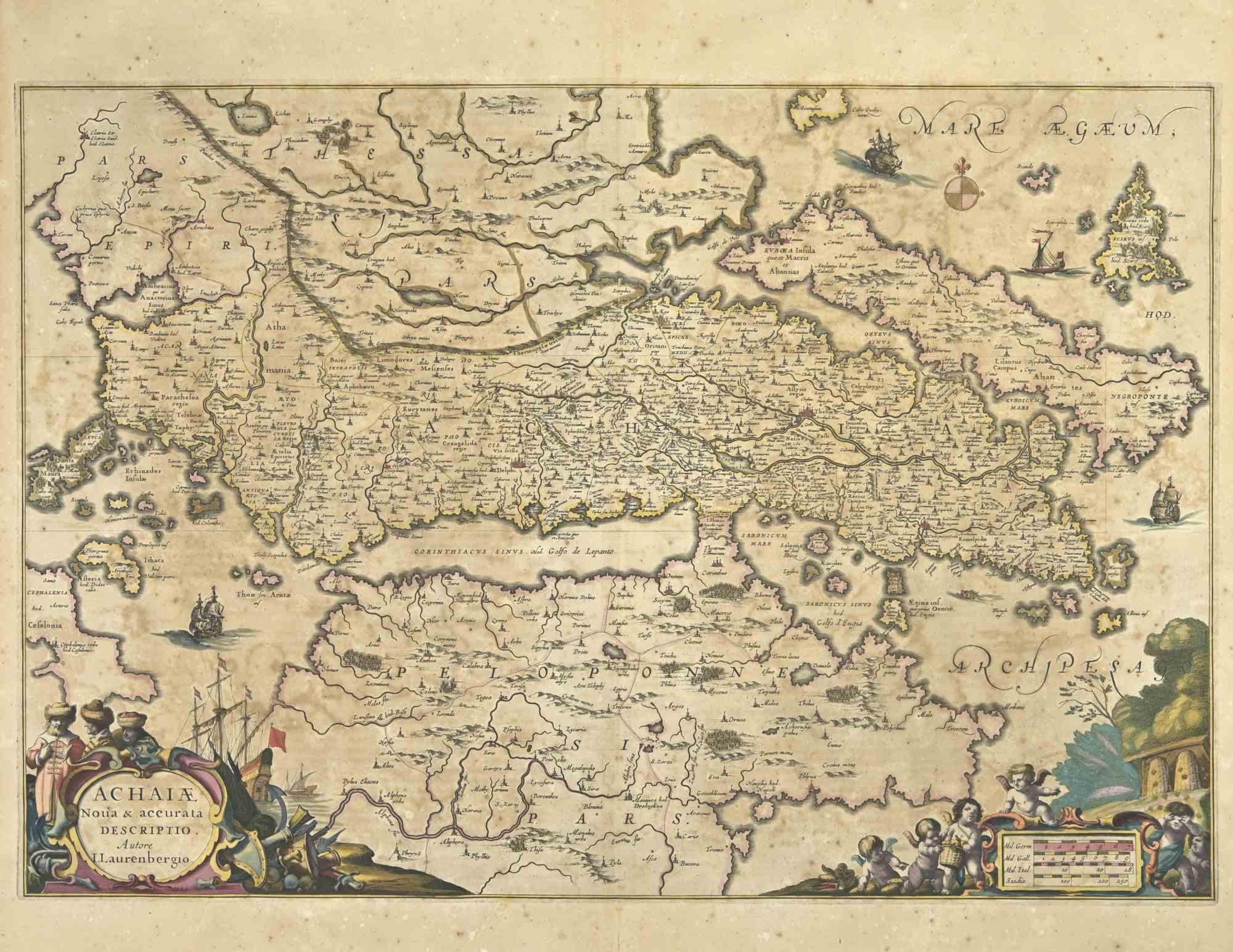
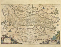
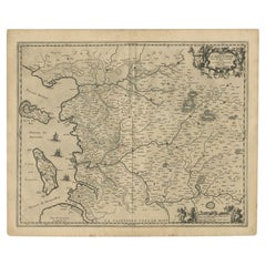
View AllAchaiae Noua - Etching by Johannes Janssonius - 1650s
By Johannes Janssonius
Located in Roma, IT
Achaiae Noua is an ancient map realized in 1650 by Johannes Janssonius (1588-1664).
Good conditions.
From Atlantis majoris quinta pars, Orbem maritimum [Novus Atlas, volume V: cart...
Category
1650s Modern Figurative Prints
Materials
Etching
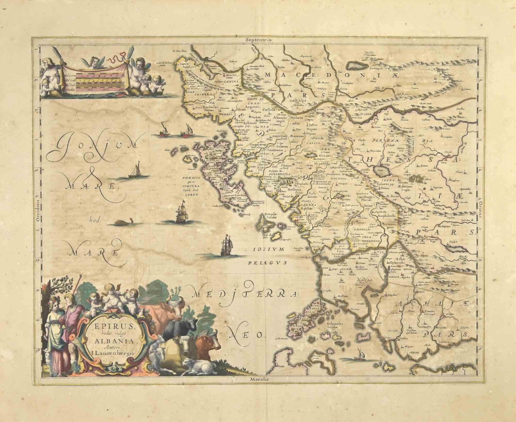
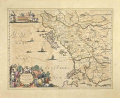
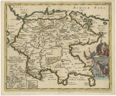
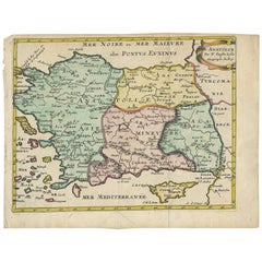
Epirus Albania - Etching by Johannes Janssonius - 1650s
By Johannes Janssonius
Located in Roma, IT
Epirus Albania is an ancient map realized in 1650 by Johannes Janssonius (1588-1664).
Good conditions.
From Atlantis majoris quinta pars, Orbem maritimum [Novus Atlas, volume V: ca...
Category
1650s Modern Figurative Prints
Materials
Etching
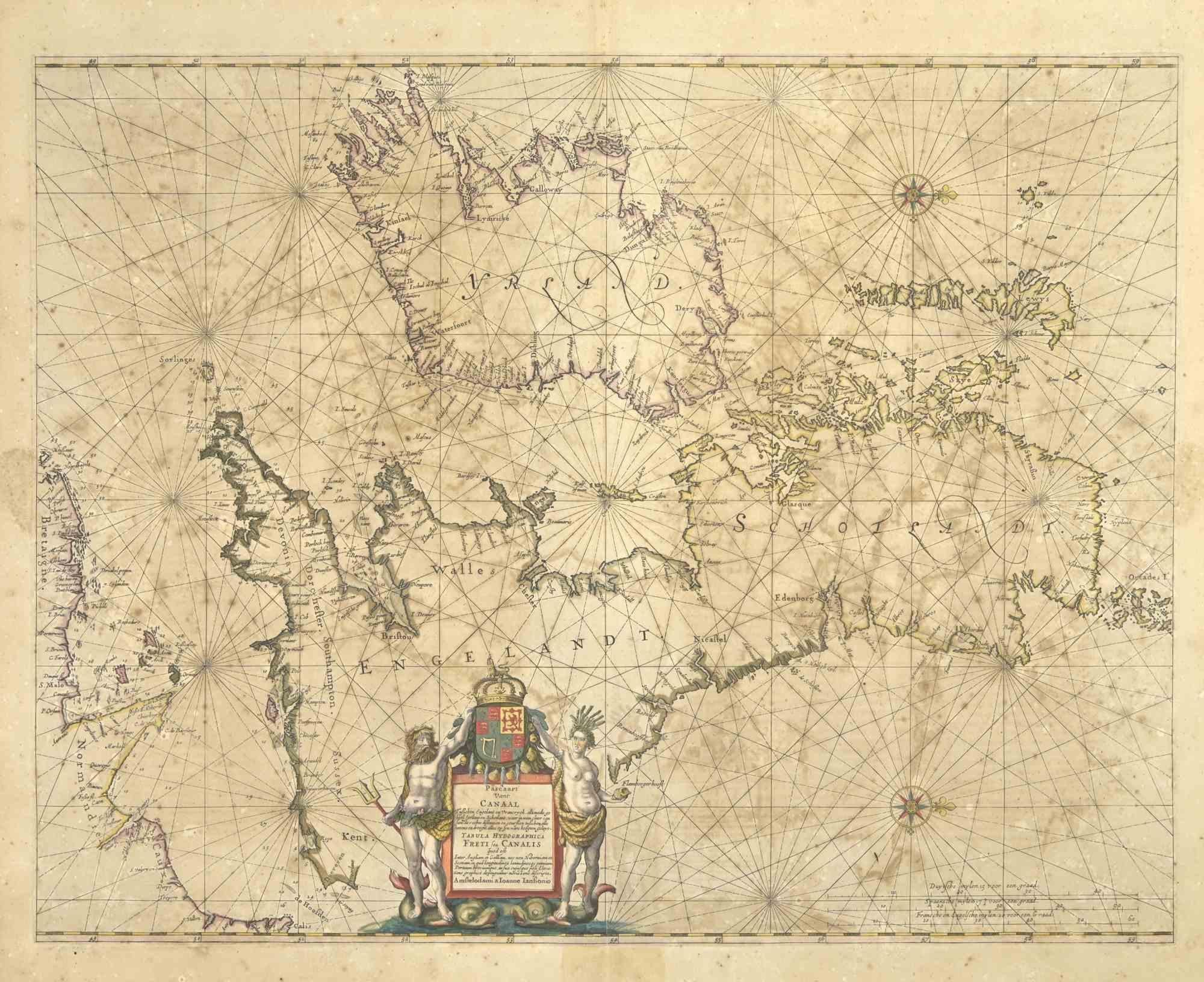
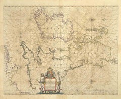
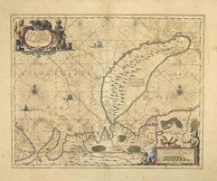
Freti Canalis - Etching by Johannes Janssonius - 1650s
By Johannes Janssonius
Located in Roma, IT
Freti Canalis is an ancient map realized in 1650 by Johannes Janssonius (1588-1664).
Good conditions.
From Atlantis majoris quinta pars, Orbem maritimum [Novus Atlas, volume V: car...
Category
1650s Modern Figurative Prints
Materials
Etching
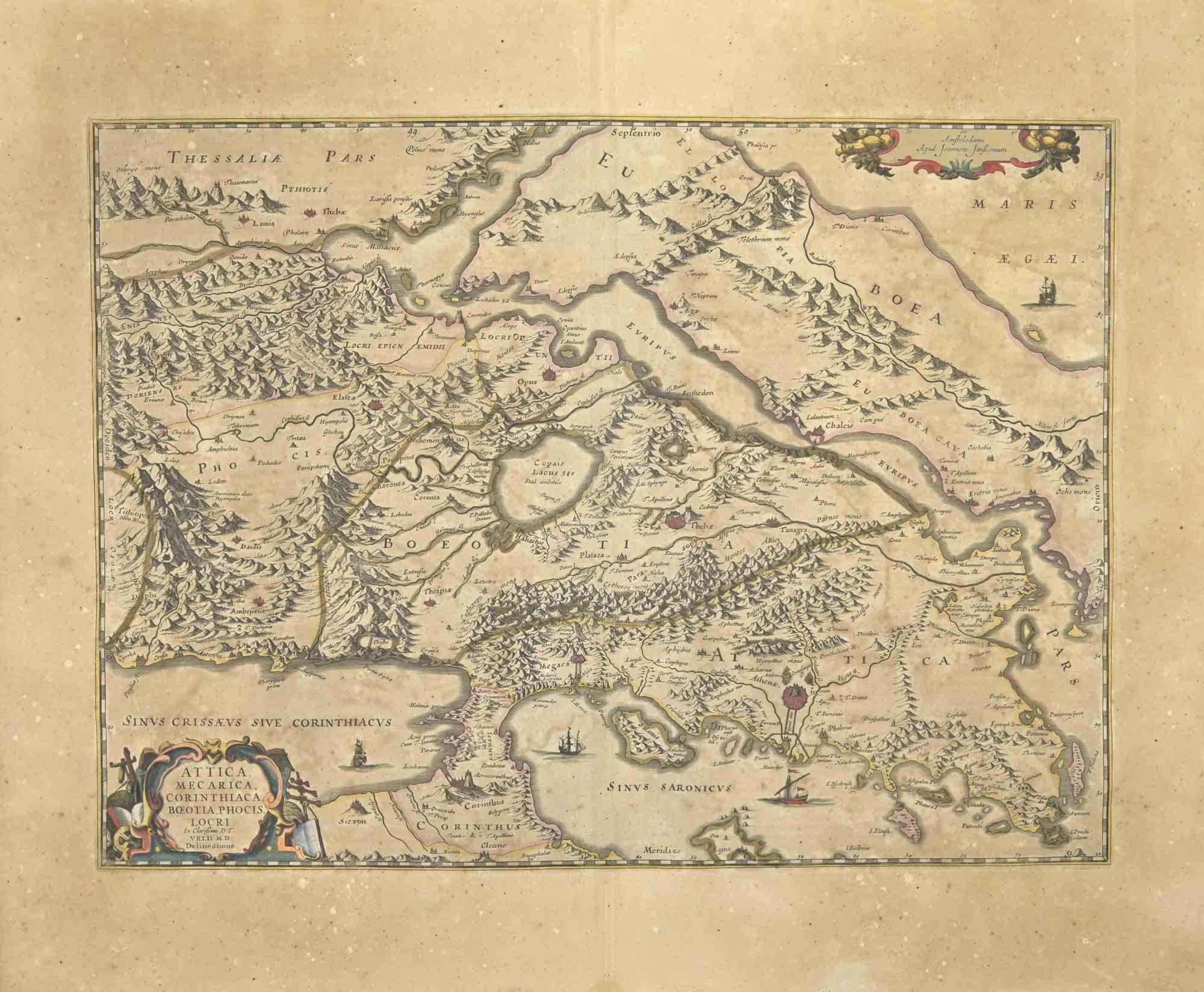
Attica - Etching by Johannes Janssonius - 1650s
By Johannes Janssonius
Located in Roma, IT
Antique Map - Attica is an antique map realized in 1650 by Johannes Janssonius (1588-1664).
The Map is Hand-colored etching, with coeval watercoloring.
Good conditions with slight ...
Category
1650s Modern Figurative Prints
Materials
Etching
Nova Zemla - Etching by Johannes Janssonius - 1650s
By Johannes Janssonius
Located in Roma, IT
Nova Zemla is an ancient map realized in 1650 by Johannes Janssonius (1588-1664).
Good conditions.
From Atlantis majoris quinta pars, Orbem maritimum [Novus Atlas, volume V: carte ...
Category
1650s Modern Figurative Prints
Materials
Etching
Barbarga - Etching by Johannes Janssonius - 1650s
By Johannes Janssonius
Located in Roma, IT
Barbarga is an ancient map realized in 1650 by Johannes Janssonius (1588-1664).
Good conditions.
From Atlantis majoris quinta pars, Orbem maritimum [Novus Atlas, volume V: carte ma...
Category
1650s Modern Figurative Prints
Materials
Etching
You May Also Like
Antique Map of the Peloponnese – Peloponnesus, Morea, by Cluver, ca.1697
Located in Langweer, NL
Hellas seu Graecia Universa is a finely detailed late-17th-century map of Greece and the Aegean world, issued by Philipp Cluver around 1697 (possibly 1694). The map was published in ...
Category
Antique Late 17th Century German Maps
Materials
Paper
Antique Engraving with a Plan of Rhodes, Greece, 1688
Located in Langweer, NL
Description: Antique map, titled: 'Rhodos.' - Plan of Rhodes, Greece. This map originates from 'Nauwkeurige Beschrijving der eilanden in de in de Archipel der Middellantsche Zee', by...
Category
Antique 1680s Maps
Materials
Paper
$428 Sale Price
20% Off
Southern Greece: A Large 17th Century Hand-colored Map By Sanson and Jaillot
By Nicholas Sanson d
Abbeville
Located in Alamo, CA
This large original hand-colored copperplate engraved map of southern Greece and the Pelopponese Peninsula entitled "La Moree Et Les Isles De Zante, Cefalonie, Ste. Marie, Cerigo & C...
Category
1690s Landscape Prints
Materials
Engraving

Antique Map of the Region of Saintonge by Janssonius, 1657
By Johannes Janssonius
Located in Langweer, NL
Antique map of France titled 'La Saintonge vers le Septentrion avecq le Pays d'Aulnis'. Decorative map of the Saintonge region. Includes Ile de Re, Ile d'Oleron and the cities of Nio...
Category
Antique 17th Century Maps
Materials
Paper
Antique Map of Turkey with Cyprus and Greece Islands by N. Sanson, circa 1652
Located in Langweer, NL
Antique map of Turkey, Anatolie with Cyprus and the Greece islands. Attractive scrolled title cartouche to top right corner. Blank verso.
Category
Antique Mid-17th Century Maps
Materials
Paper
Rugen Island, Germany: An Early 17th Century Map by Mercator and Hondius
By Gerard Mercator
Located in Alamo, CA
This is an early 17th century map entitled "Nova Famigerabilis Insulae Ac Ducatus Rugiae Desciptio" (Map of Rugen Island, Germany) by Gerard Mercator and Henricus and Joducus Hondiu...
Category
Early 17th Century Old Masters Landscape Prints
Materials
Engraving
