Items Similar to Map of Switzerland - Etching - 19th Century


Want more images or videos?
Request additional images or videos from the seller
1 of 2
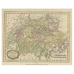
UnknownMap of Switzerland - Etching - 19th Century19th Century
19th Century
$358.58
£266.84
€300
CA$496.20
A$532.63
CHF 283.60
MX$6,308.40
NOK 3,583.90
SEK 3,273.10
DKK 2,285.96
About the Item
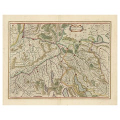
This map of Netherlands is an etching realized in 19th century.
The state of preservation of the artwork is excellent. The signature "F.B." is engraved on the lower right. At the top of the paper, the inscription “Longitudine del Meridiano dell'Isola del Ferro”, whilst at the bottom, just below the image, the inscription “Longitudine Est del Meridiano di Parigi”. At the top right, the number of the sheet "XVI” is printed.
Image Dimensions: 22.5 x 29 cm
- Creation Year:19th Century
- Dimensions:Height: 9.85 in (25 cm)Width: 11.82 in (30 cm)Depth: 0.04 in (1 mm)
- Medium:
- Period:
- Framing:Framing Options Available
- Condition:Insurance may be requested by customers as additional service, contact us for more information.
- Gallery Location:Roma, IT
- Reference Number:Seller: M-1087161stDibs: LU65038033832
About the Seller
4.9
Platinum Seller
Premium sellers with a 4.7+ rating and 24-hour response times
1stDibs seller since 2017
7,919 sales on 1stDibs
Typical response time: 1 hour
- ShippingRetrieving quote...Shipping from: Grasse, France
- Return Policy
More From This Seller
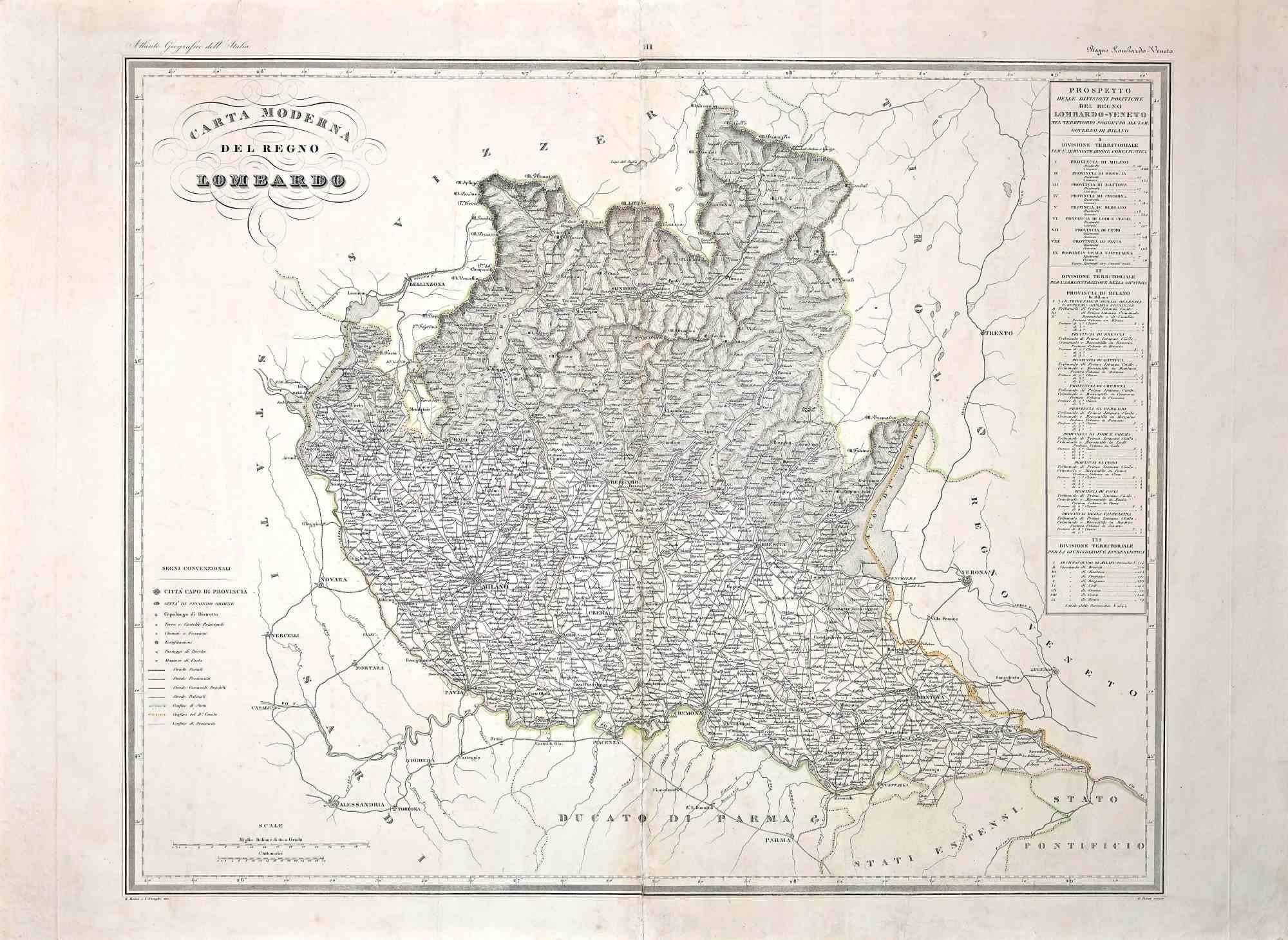
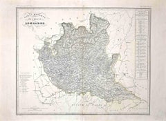
View AllMap of Lombardy - Original Etching - 19th Century
Located in Roma, IT
The Map of Lombardy is an original etching realized by an anonymous artist.
Fair conditions, the folding line of the middle is repaired.
The artwork represents the map of Lombardo....
Category
19th Century Modern Figurative Prints
Materials
Etching
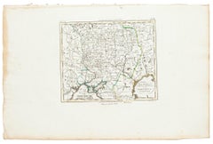
Map of the War -Vesfaglia and Lower Saxony - Etching - 19th Century
Located in Roma, IT
Map of the War -Vestaglia and Lower Saxony is an etching realized during the 19th century.
Good condition.
Category
Early 19th Century Modern Figurative Prints
Materials
Etching

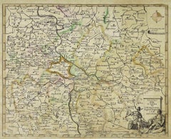
Map of Germany - Original Etching - 1820
Located in Roma, IT
Map of Germany is an Original Etching realized by an unknown artist of 19th century in 1820.
Very good condition on two sheets of white paper joined at...
Category
1820s Modern Figurative Prints
Materials
Etching

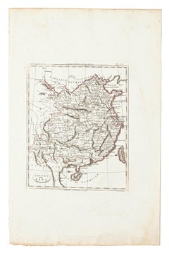
Map of China - Etching - 19th Century
Located in Roma, IT
This map of China is an etching realized in 19th century.
The state of preservation of the artwork is excellent. At the top of the paper, the inscription...
Category
19th Century Figurative Prints
Materials
Etching
Map of Russia - Etching by Marco Di Pietro - 19th Century
Located in Roma, IT
This map of Russia is an etching realized by the Italian engraver Marco Di Pietro in 19th century.
The state of preservation of the artwork is excellent. The signature is engraved o...
Category
19th Century Old Masters Figurative Prints
Materials
Etching
Map of the War between Hungary and Prussia - Etching - 19th Century
Located in Roma, IT
Map of the War between Hungary and Prussia is an etching realized during the 19th century.
Good condition.
Category
Early 19th Century Modern Figurative Prints
Materials
Etching
You May Also Like
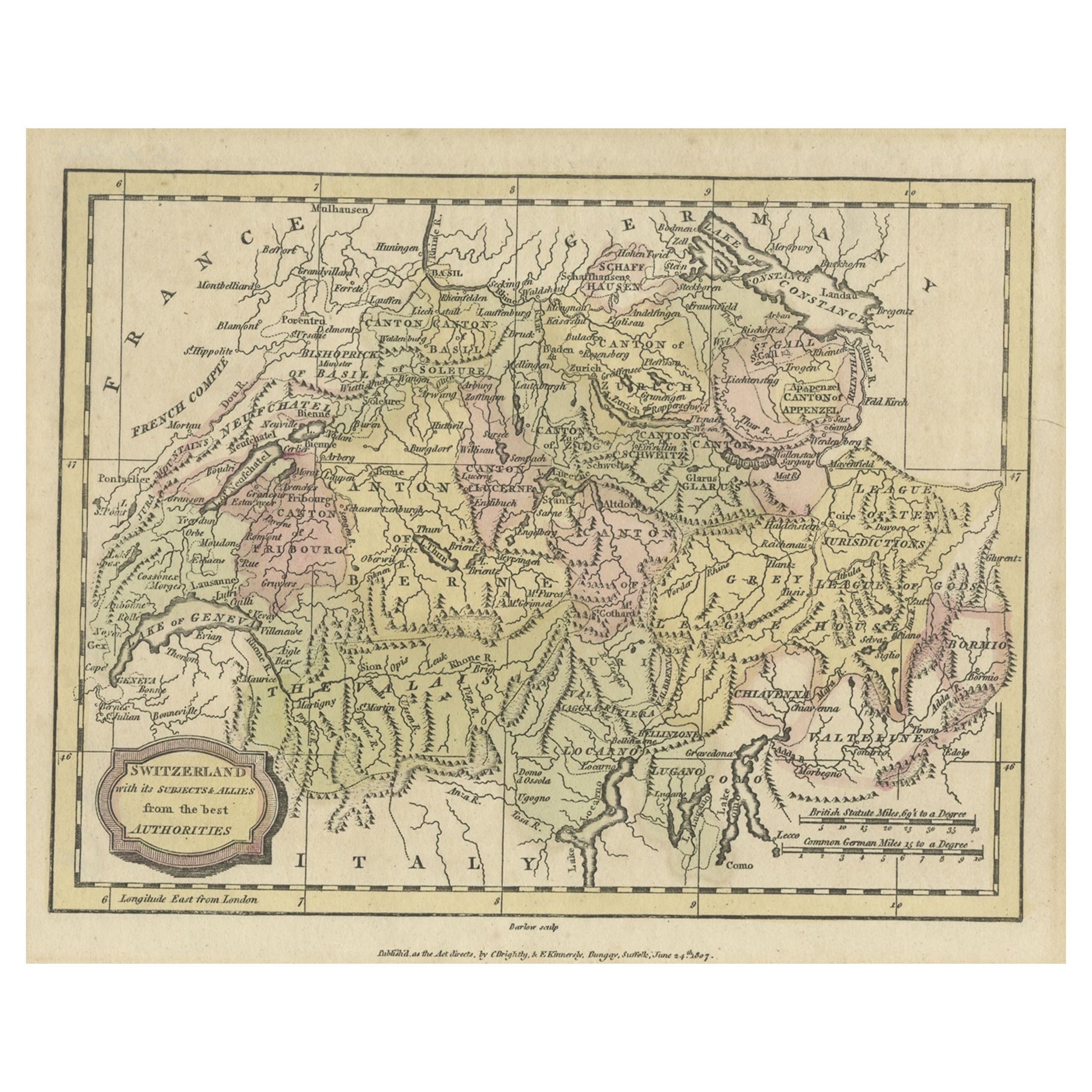
Small Original Antique Map of Switzerland and Surroundings, 1807
Located in Langweer, NL
Antique map titled 'Switzerland with its subjects & allies from the best authorities'.
Small map of Switzerland and surroundings. Originates from 'A general view of the world' by...
Category
Antique Early 1800s Maps
Materials
Paper
$124 Sale Price
20% Off
Antique Map of Switzerland by Keizer
de Lat, 1788
Located in Langweer, NL
Antique map titled 'La Suisse (..)'. Uncommon original antique map of Switzerland. This map originates from 'Nieuwe Natuur- Geschied- en Handelkundige Zak- en Reisatlas' by Gerrit Br...
Category
Antique Late 18th Century Maps
Materials
Paper

$334 Sale Price
20% Off
Physical
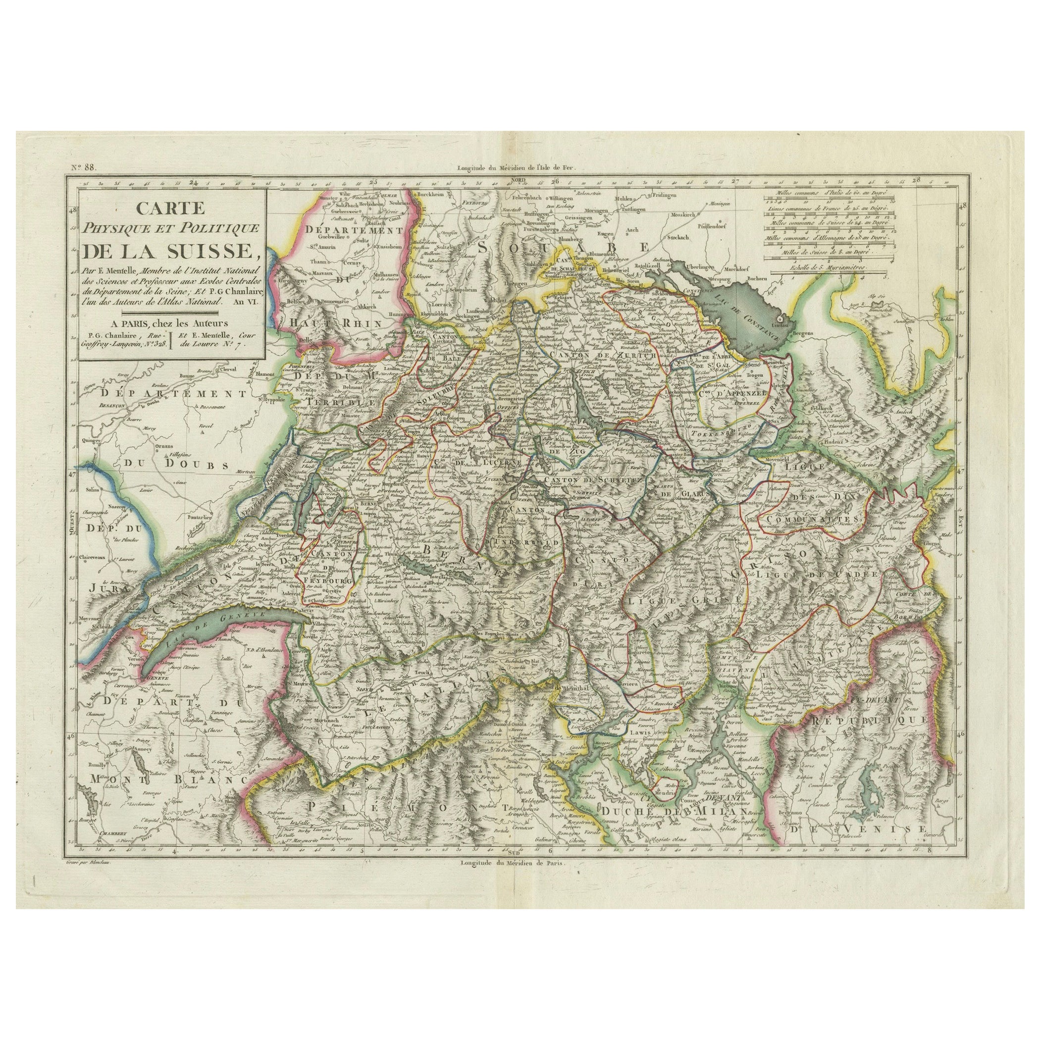
Political Map of Switzerland: Late 18th Century - Mentelle Atlas
Located in Langweer, NL
Antique Map with Title: 'Carte Physique et Politique de la Suisse'
**Publication Details:**
- **Atlas Title:** Nouvel Atlas Universel de Géographie Ancienne et Moderne
- **Purpose:...
Category
Antique 1790s Maps
Materials
Paper

$506 Sale Price
20% Off
Antique Map of Switzerland by J. Tallis, circa 1851
Located in Langweer, NL
A decorative and detailed mid-19th century map of Switzerland which was drawn and engraved by J. Rapkin (vignettes by A. H. Wray & J. B. Allen) and published in John Tallis's Illustr...
Category
Antique Mid-19th Century British Maps
Materials
Paper

$262 Sale Price
20% Off
Antique Map of Switzerland by Lapie, 1842
Located in Langweer, NL
Antique map titled 'Carte de la Suisse ou Helvetie'. Map of Switzerland. This map originates from 'Atlas universel de géographie ancienne et moderne...
Category
Antique Mid-19th Century French Maps
Materials
Paper

Map of Northwestern Switzerland (Basel and Zurich Region) by Willem
Jan Blaeu
Located in Langweer, NL
Map of Northwestern Switzerland by Willem & Jan Blaeu (Circa 1650)
This is a detailed map of Northwestern Switzerland, specifically depicting the region between Basel and Zurich, cr...
Category
Antique 1650s Maps
Materials
Paper
$908 Sale Price
30% Off
More Ways To Browse
Antique Prints Swiss
Antique Map Of Switzerland
Penal Cross
Peter Doig Zermatt
Peter Forster
Peter Max 9 11
Peter Max Earth Day
Peter Max Friends
Peter Max Ladies
Peter Max World Cup
Peter Wever On Sale
Phyllis Lucas Gallery Old Print Center
Picasso 156 Series Etchings
Picasso 1970 100
Picasso Bacchus
Picasso Eau Forte
Picasso Erotic Art
Picasso Etching Femme Assise