Artículos similares a Holy Land Map, Terra Promissa or Judaea – Nicolas Sanson, c.1700


¿Quieres más imágenes o vídeos?
Solicita imágenes o vídeos adicionales al vendedor
1 de 9
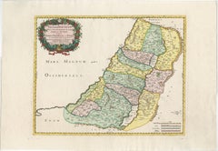
Holy Land Map, Terra Promissa or Judaea – Nicolas Sanson, c.1700
440 €IVA incluido
Acerca del artículo
Holy Land Map, Terra Promissa or Judaea – Nicolas Sanson, c.1700
This antique map depicts the Holy Land, or Terra Promissa (Promised Land), as described in the Old and New Testaments, presenting Judaea divided according to biblical tradition. Titled Geographiae Sacræ ex Veteri et Novo Testamento desumptæ Tabula, in qua Terra Promissa sive Judæa, the map illustrates the land historically associated with the Twelve Tribes of Israel, with boundaries, cities, rivers, deserts, and regions carefully laid out.
The map was created by Nicolas Sanson (1600–1667), regarded as the founder of French scientific cartography. Although Sanson died in 1667, his maps continued to be published and reissued by his heirs and successors into the late 17th and early 18th centuries, making circa 1700 a plausible date for this impression. Sanson’s biblical maps were widely used for theological study, historical reference, and education, reflecting contemporary European scholarship rather than modern geographical accuracy.
The map extends from the Mediterranean coast to Arabia and Idumaea, and from Phoenicia in the north to the deserts south of Judaea. The River Jordan, the Dead Sea, Galilee, Samaria, and Judaea are prominently shown, with dense place-name detail throughout. A decorative engraved title cartouche appears in the upper left, framed by baroque foliage, reinforcing the scholarly yet ornamental character of the work. The engraving is uncoloured, emphasizing line work and textual density typical of Sanson’s cartographic style.
This map is well suited to collectors of early biblical cartography, Holy Land maps, and French 17th-century engraving. Its restrained appearance and strong historical associations also make it attractive as a decorative interior piece for libraries, studies, or gallery walls.
Condition:
Fair to good condition. Uncoloured engraved map with original old folds. Light overall toning consistent with age. Minor handling wear and light creasing visible. No major losses to the engraved surface.
Framing tips:
This map benefits from a light parchment or warm off-white mat to preserve its scholarly character. A simple dark wood or black frame works well to highlight the fine engraving and dense detail. UV-protective glazing is recommended.
Technique: Copper engraving
Maker: Nicolas Sanson, France, circa 1700
Keywords: Jerusalem, Holy Land, Holy City, Renaissance Jerusalem view, antique Jerusalem print, biblical Jerusalem, Holy Sepulchre, Temple of Solomon, Mount Zion, Gethsemane, Valley of Jehoshaphat, Jericho, biblical geography, early Holy Land map, 16th century woodcut, Renaissance woodcut, Sebastian Münster circle, antique religious print, Christian cartography, biblical city view, antique Israel print, Palestine, sacred geography, early modern cosmography
- Dimensiones:Altura: 43,5 cm (17,13 in)Anchura: 54,2 cm (21,34 in)Profundidad: 0,2 mm (0,01 in)
- Materiales y técnicas:Papel,Grabado
- Lugar de origen:
- Época:
- Fecha de fabricación:circa 1700
- Estado:Fair to good condition. Uncoloured engraved map with original old folds. Light overall toning consistent with age. Minor handling wear and light creasing visible. No major losses to the engraved surface.
- Ubicación del vendedor:Langweer, NL
- Número de referencia:Vendedor: BG-14153-21stDibs: LU3054348101732
Sobre el vendedor
5,0
Vendedor reconocido
Estos prestigiosos vendedores son líderes del sector y representan el escalón más alto en cuanto a calidad y diseño de artículos.
Vendedor Platino
Vendedores premium con una calificación de +4,7 y tiempos de respuesta de 24 horas
Establecido en 2009
Vendedor de 1stDibs desde 2017
2813 ventas en 1stDibs
Tiempo de respuesta usual: 1 hora
- EnvíoRecuperando presupuesto…Envío desde: Langweer, Países Bajos
- Política de devolución
Partes de esta página se han traducido automáticamente. 1stDibs no puede garantizar la exactitud de las traducciones. El inglés es el idioma predeterminado de este sitio web.
Más de este vendedor
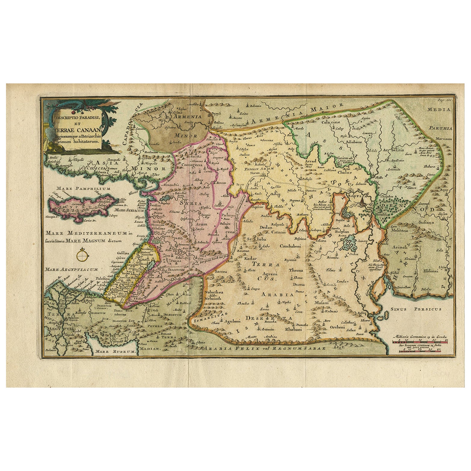
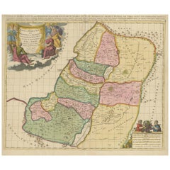
Ver todoMapa antiguo de Tierra Santa y el Paraíso - Terrae Canaan Map, c.1720
Mapa antiguo de Tierra Santa y el Paraíso por François Halma, c.1720
Precioso mapa coloreado a mano de Oriente Próximo de principios del siglo XVIII, que se extiende desde el mar Me...
Categoría
Antiguo, principios del siglo XVIII, Holandés, Mapas
Materiales
Papel

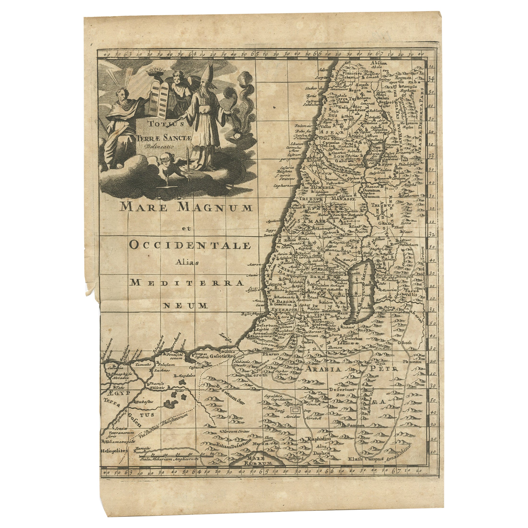
Mapa antiguo de Tierra Santa, c.1710
Mapa antiguo titulado "Totius Terrae Sanctae Delineatio". Mapa de Tierra Santa que se extiende hasta Egipto y muestra la ruta de los Hijos de Israel en su éxodo de Egipto a la Tierra...
Categoría
Antiguo, siglo XVIII, Mapas
Materiales
Papel
Antique Holy Land Map, Twelve Tribes of Israel – Covens
Mortier, c.1700
Antique Holy Land Map, Twelve Tribes of Israel – Covens
Mortier, c.1700
Description:
This finely engraved early 18th-century map depicts the Holy Land divided according to the...
Categoría
Antiguo, principios del siglo XVIII, Francés, Mapas
Materiales
Papel

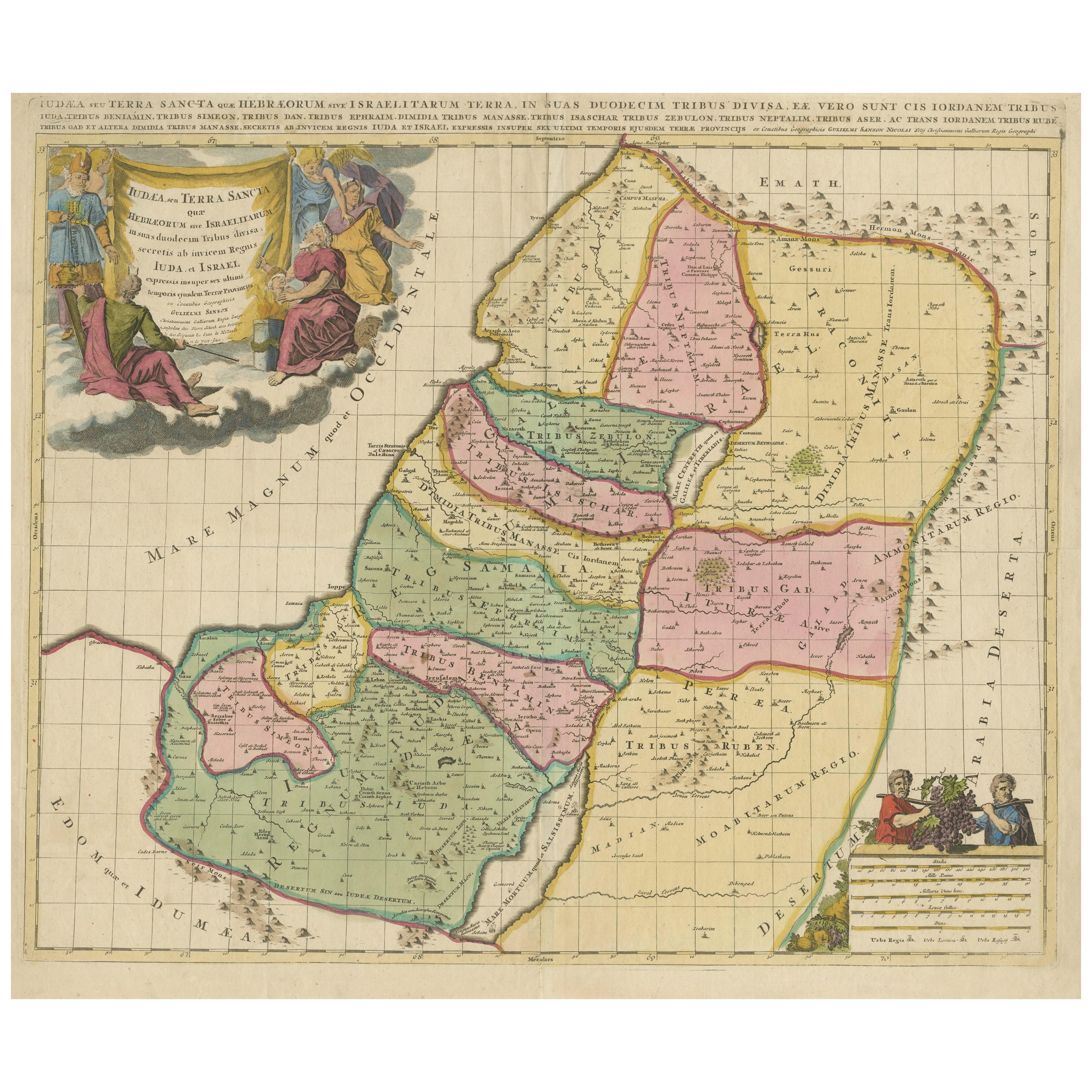
Holy Land Map of the Twelve Tribes of Israel – Sanson, Hand Colored, 1696
Holy Land Map of the Twelve Tribes of Israel – Sanson, Hand Colored, 1696
Description:
This impressive and richly hand-colored map of the Holy Land depicts the biblical territories ...
Categoría
Antiguo, finales del siglo XVII, Francés, Mapas
Materiales
Papel
Holy Land Map of the Twelve Tribes of Israel, After Sanson, Paris c.1798
Holy Land, Twelve Tribes of Israel – After Nicolas Sanson, De Vaugondy / Delamarche, c.1798
Description:
Holy Land. De Vaugondy (G. R.), Carte de la Terre des Hébreux ou Israélites,...
Categoría
Antiguo, finales del siglo XVIII, Francés, Mapas
Materiales
Papel

Judaea or Terra Sancta, Twelve Tribes of Israel – Sanson Map, c.1680
Judaea or Terra Sancta, Twelve Tribes of Israel – Sanson Map, c.1680
This antique map depicts Judaea or the Holy Land divided among the Twelve Tribes of Israel, based on biblical ge...
Categoría
Antiguo, finales del siglo XVII, Holandés, Mapas
Materiales
Papel
También te puede gustar
Mapa del Reino de Cerdeña y parte del Reino de Génova, Roma
Por Giovanni Maria Cassini
Mapa del siglo XVIII del grabador italiano Giovanni Maria Cassini (Italia 1745-1824). Mapa de parte del reino de Cerdeña y parte del reino de Génova: Roma. Se trata de una estampa co...
Categoría
Antiguo, siglo XVIII, Italiano, Mapas
Materiales
Papel

688 € Precio de venta
Descuento del 36 %
Mapa holandés del siglo XVII de Tierra Santa en tiempos de Jesús, por Visscher
Por Nicolaus Visscher
Este detallado mapa holandés titulado "Het Beloofe de Landt Canaan door wandelt van onsen Salichmaecker Iesu Christo, nessens syne Apostelen" de Nicolaes Visscher (1610-1679), public...
Categoría
Década de 1660, Impresiones y múltiplos
Materiales
Grabado

882 € Precio de venta
Descuento del 20 %
Mapa Tierra Santa La Terre Sainte Grabado van Loon Publicado N de Fer 1703 Francés
La Terre Sainte, La Tierra Santa, Tiree Des Memoires De M.De.La Rue. Par N. de Fer. Geographe de Sa Majeste Catoliq et de Monseigneur le Dauphin. Avec Privil du Roi 1703
Mapa deta...
Categoría
Antiguo, Principios del 1700, Francés, Luis XIV, Mapas
Materiales
Papel

Li Governi di Borgogna - Mapa antiguo - 1777
Li Governi di Borgogna es un aguafuerte original en blanco y negro sobre papel, impreso por Antonio Zatta en Venecia, 1777.
Título original: Li Governi di Borgogna della Franca Cont...
Categoría
Década de 1770, Moderno, Impresiones de paisajes
Materiales
Grabado químico

Grecia Meridional: Un gran mapa coloreado a mano del siglo XVII por Sanson y Jaillot
Por Nicholas Sanson d
Abbeville
Este gran mapa original grabado a mano en cobre del sur de Grecia y la península del Peloponeso, titulado "La Moree Et Les Isles De Zante, Cefalonie, Ste. Marie, Cerigo & C. Dresse S...
Categoría
Década de 1690, Impresiones de paisajes
Materiales
Grabado

1367 € Precio de venta
Descuento del 20 %
Mapa antiguo - Gallia - Grabado de Johannes Janssonius - Década de 1650
Por Johannes Janssonius
Mapa antiguo - Gallia es un mapa antiguo realizado en 1650 por Johannes Janssonius (1588-1664).
El Mapa es un grabado coloreado a mano, con acuarela coetánea.
Buen estado de conser...
Categoría
Década de 1650, Moderno, Impresiones figurativas
Materiales
Grabado químico
