Want more images or videos?
Request additional images or videos from the seller
1 of 6
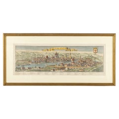
Thusciae
$300
$60050% Off
£226.49
£452.9850% Off
€259.83
€519.6650% Off
CA$418.78
CA$837.5750% Off
A$456.02
A$912.0350% Off
CHF 241.26
CHF 482.5150% Off
MX$5,499.38
MX$10,998.7650% Off
NOK 3,069.61
NOK 6,139.2250% Off
SEK 2,806.27
SEK 5,612.5450% Off
DKK 1,940.51
DKK 3,881.0350% Off
About the Item
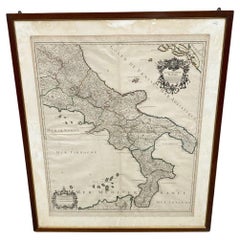
This finely printed map depicts the historical region of Tuscia, located in central Italy, known today largely as the area encompassing parts of modern Tuscany, Umbria, and Lazio. Executed on paper, the map presents geographic details including towns, rivers, and landscape features, reflecting the cartographic knowledge of the period. Measuring 33 × 50 cm, the sheet combines both functional and decorative qualities, typical of historical European maps designed for study, navigation, and display. While the date and printer are unspecified, the map exemplifies traditional engraving and printing techniques used in early modern cartography. Maps such as this not only served practical purposes but also conveyed political, cultural, and territorial information to their audiences. This piece would be of interest to collectors of historical maps, scholars of Italian geography and history, and enthusiasts of antique cartography, offering both aesthetic appeal and insight into past perceptions of the Tuscia region.
- Dimensions:Height: 13 in (33 cm)Width: 19.69 in (50 cm)Depth: 0.79 in (2 cm)
- Materials and Techniques:
- Period:
- Date of Manufacture:19th century
- Condition:
- Seller Location:Porto, PT
- Reference Number:1stDibs: LU10523246811832
About the Seller
New to 1stDibs
Joined in the past six months.
No Reviews Yet
Vetted Professional Seller
Every seller passes strict standards for authenticity and reliability
Established in 2000
1stDibs seller since 2025
7 sales on 1stDibs
Typical response time: 1 hour
- ShippingRetrieving quote...Shipping from: Porto, Portugal
- Return Policy
More From This Seller
View All18Th Century Desk (exceptional craftsmanship through its finely executed inlays)
Located in Porto, PT
This exquisite 18th-century German desk is crafted from rich fruitwood and showcases exceptional craftsmanship through its finely executed inlays, depicting elegant gallant scenes an...
Category
Antique 18th Century Furniture
Materials
Wood
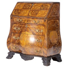
$6,000 Sale Price
50% Off
Free Shipping
Map Of Florence By F.B.Werner
Located in Porto, PT
This detailed map of Florence is a fine example of early modern cartography, printed on paper by the German geographer and cartographer F.B. Werner. Measuring 30 × 87.5 cm, the map p...
Category
Antique 18th Century Antiquities
Materials
Paper
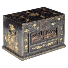
Chinese Ark - Year 1862 - With Certificate
Located in Porto, PT
This elegant piece originates from the Ching Dynasty, circa 1862, and is a remarkable example of traditional Chinese craftsmanship. Crafted from fine black lacquered wood, the surfac...
Category
Antique 19th Century Furniture
Materials
Wood
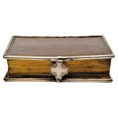
"Paroissien Roman" book, with silver finishes
Located in Porto, PT
Description: Book "Paroissien Roman", with silver finishes. Metal: Silver. Origin: French. Weight: 162.92 grams. Dimensions: 10x7cm. Content: 800/1000. Assay Mark: Absent. Additional...
Category
20th Century European Books
Materials
Silver
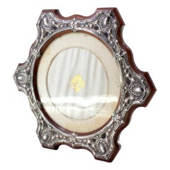
Wooden frame with silver shell applications and support
Located in Porto, PT
Description: Wooden frame with silver shell applications and support. Metal: Silver. Origin: Portuguese. Brand: Javali II Title. Weight: 283.5 grams. Dimensions: 20.5cmx17cm. Content...
Category
Antique 19th Century European Picture Frames
Materials
Silver
Georges Maxim (1885-1940)
Located in Porto, PT
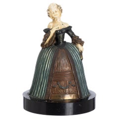
This finely crafted sculpture, titled “Female Figure”, is by French artist Georges Maxim (1885–1940), recognized for his sensitive and expressive portrayals of the human form. The wo...
Category
20th Century Figurative Sculptures
Materials
Bronze
You May Also Like
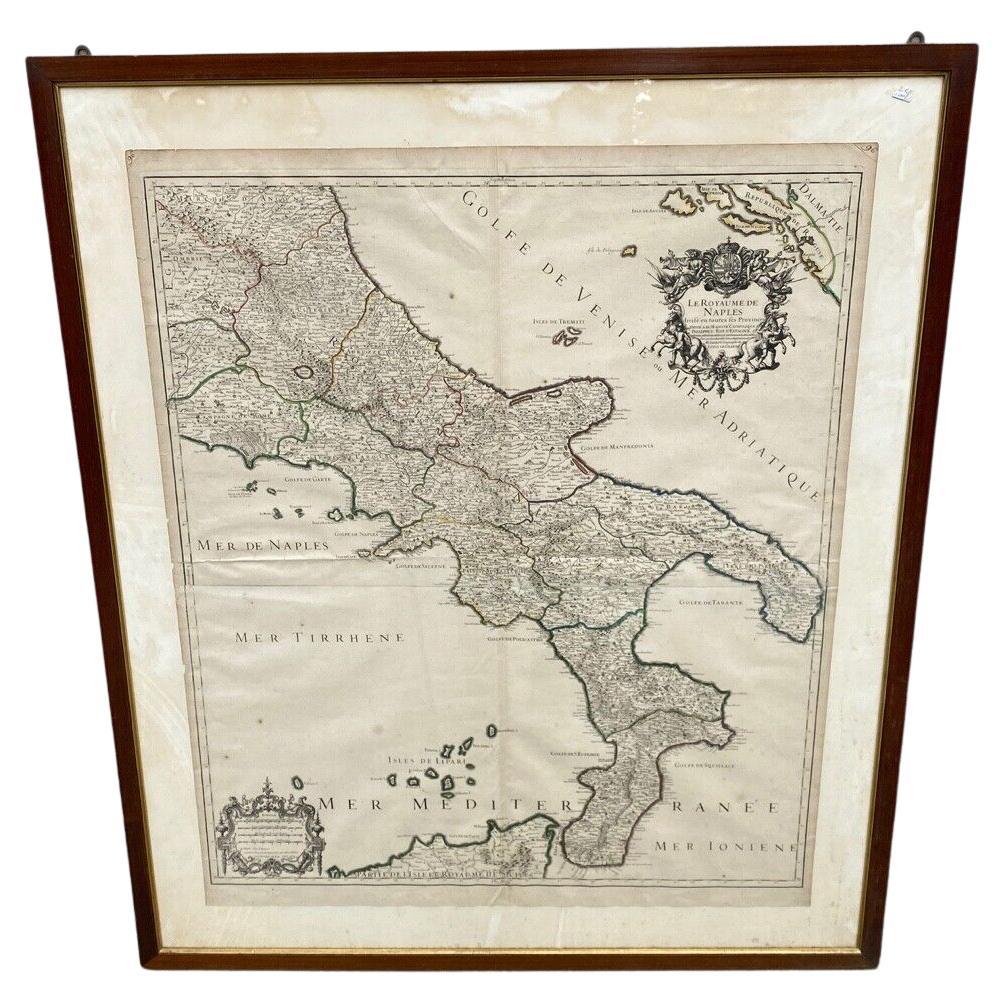
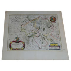
Antica Carta Geografica Regno di Napoli - 1706 - XVIII Secolo Francia
Located in Milano, MI
Antica Cartina Regno di Napoli XVIII Secolo 1:700000
Descrizione:
Meravigliosa Cartina con raffigurazione del regno di Napoli , la cartina è stata realizzata in Francia nella pri...
Category
Antique Early 1700s European Louis XVI Picture Frames
Materials
Paper
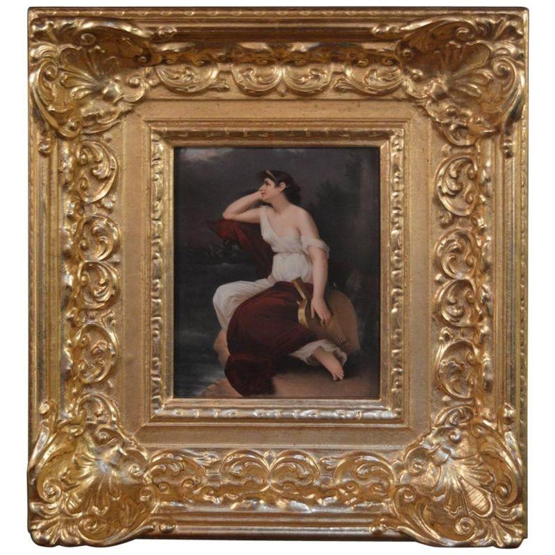
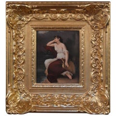
Late 19th Century KPM
Located in Los Angeles, CA
Late 19th century KPM.
The plate is 7.75" W x 9.75" H.
Category
Antique Late 19th Century German Decorative Art
Materials
Porcelain
$6,200
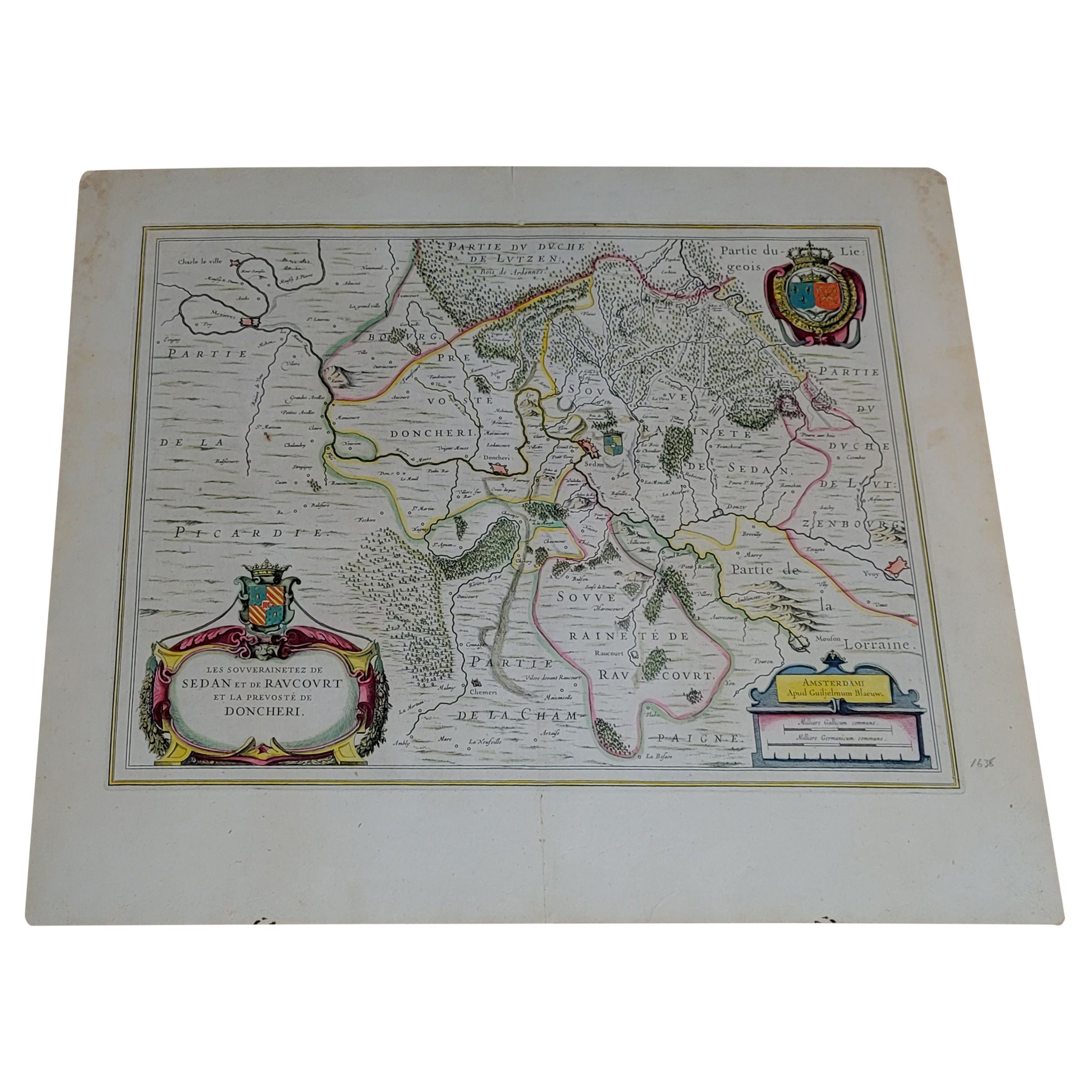
1656 "La Souverainete de Sedan et de Raucourt, et la Prevoste de Doncheri Ric004
Located in Norton, MA
1656 map entitled
"La Souverainete de Sedan et de Raucourt, et la Prevoste de Doncheri,"
Hand Colored
Ric0004.
Description:
Lovely map centered on Sedan and Doncheri an...
Category
Antique 17th Century Dutch Maps
Materials
Paper
Carved Frame
Located in Los Angeles, CA
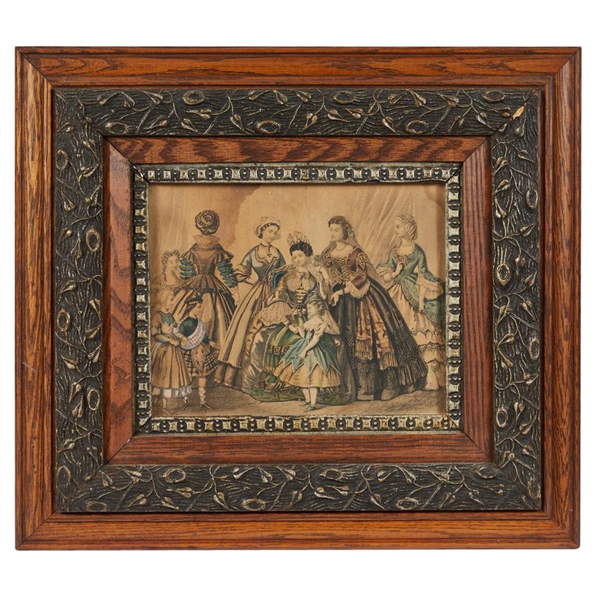
This early Victorian fashion plate print is encapsulated within a richly carved oak wood frame, showcasing a meticulous attention to detail that reflects the era's fashion and crafts...
Category
Antique 1880s English Picture Frames
Materials
Oak

$1,475
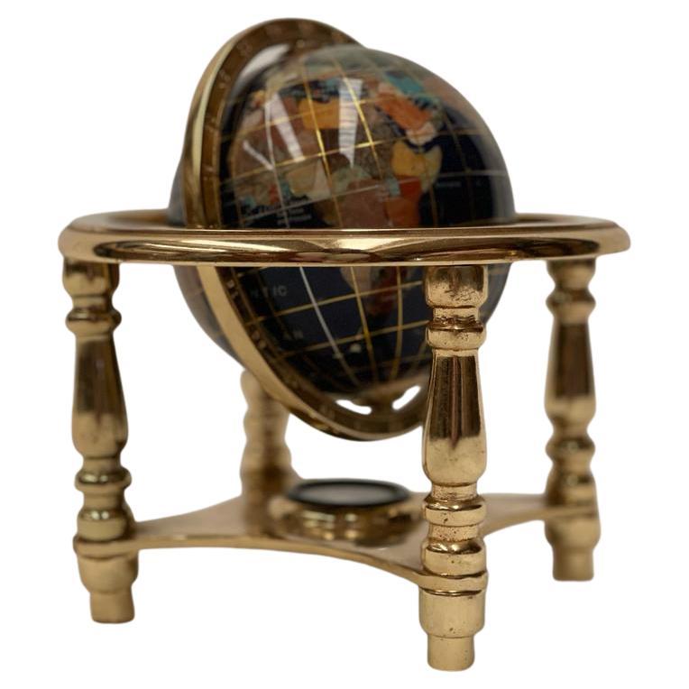
20th Century
Located in Cantù, IT
Small globe with compass. Refined and with attention to detail in the slightest detail. Created from brass, crystal and glass.
Designed by Mice Versailles.
Category
Antique 19th Century Antiquities
Materials
Crystal, Brass

$420
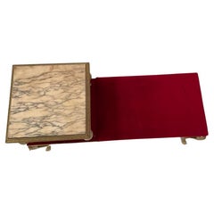
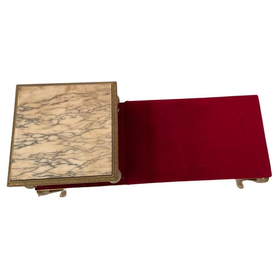
20th Century Sofa Seating
Located in Cantù, IT
A item created by brass, white marble and a wonderful red velvet. It's a raffined confortable sofa. Its spheres details are made by glass and crystal.
Category
Antique 19th Century Furniture
Materials
Marble, Brass