Items Similar to 1870 "Johnson
s Kentucky and Tennessee" Published by A. J. Johnson
Want more images or videos?
Request additional images or videos from the seller
1 of 9
1870 "Johnson
s Kentucky and Tennessee" Published by A. J. Johnson
$995
£754.71
€865.03
CA$1,392.97
A$1,521.55
CHF 805.40
MX$18,291.45
NOK 10,237.84
SEK 9,364.15
DKK 6,461.05
About the Item
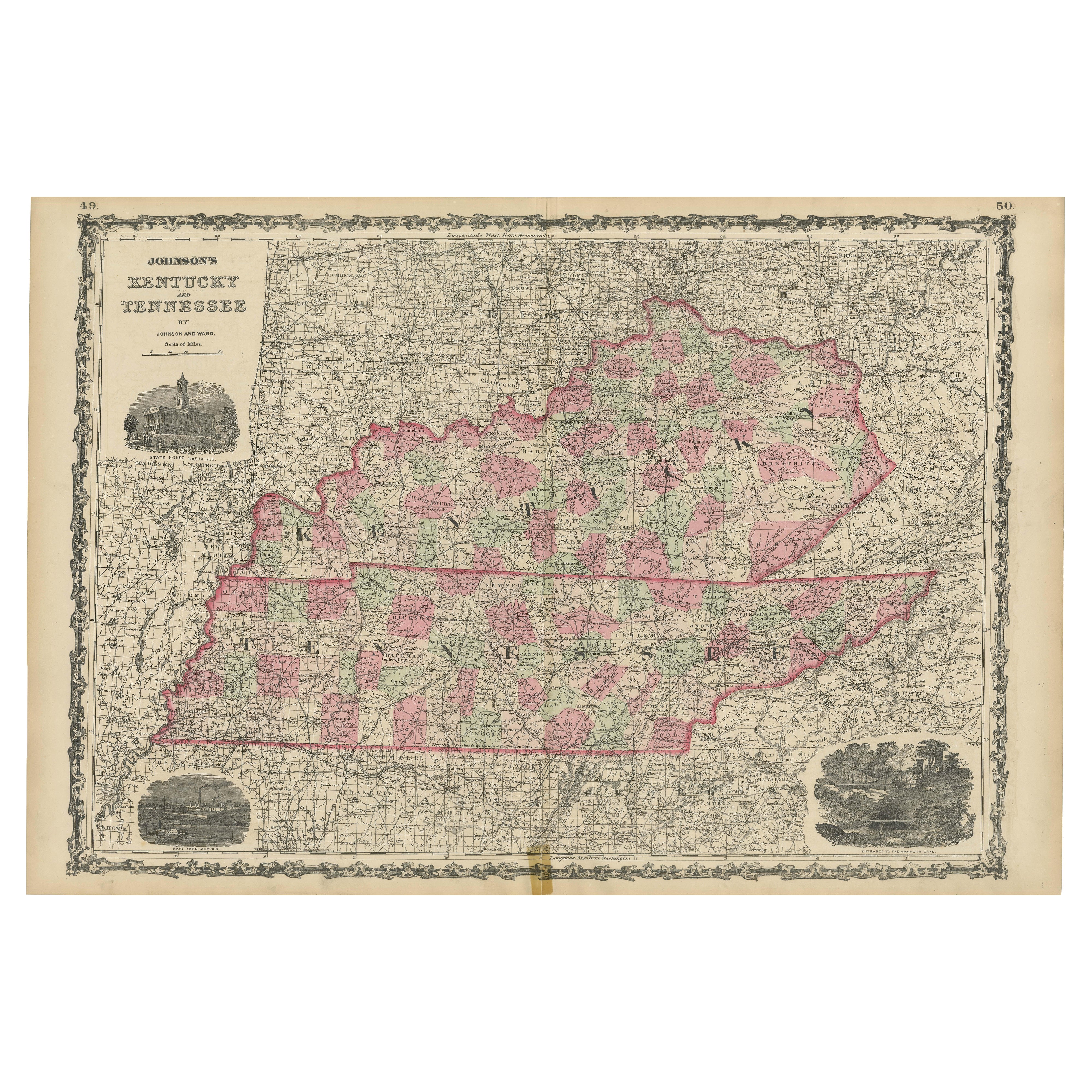
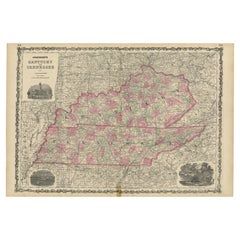
Presented is an original 1870 "Johnson's Kentucky and Tennessee" map. First published in 1865, this map was issued as pages 60 and 61 in the 1870 edition of “Johnson's New Illustrated (Steel Plate) Family Atlas.” The map is engraved, with attractive hand coloring and a decorative border. Kentucky and Tennessee are labeled, outlined in pink, and colored by county. Depicted but not colored are the neighboring states of Arkansas, Missouri, Illinois, Indiana, Ohio, West Virginia, Virginia, North Carolina, South Carolina, Georgia, Alabama, and Mississippi. The map is beautifully detailed, with railroads, roads, rivers and creeks, mountain ranges, and important cities and towns all marked.
The publishing company of A.J. Johnson was a successor of Johnson and Ward, a successor to Johnson and Browning, themselves a successor to the famous publishing company, J. H. Colton and Company. A combination of both new plates and older, updated ones, all of the maps in this famous 1870 atlas were compiled, drawn, and engraved under the supervision of A. J. Johnson.
This 1870 publication of “Johnson's New Illustrated (Steel Plate) Family Atlas” is also notable for its inclusion of a treatise on physical geography by Professor A. Guyot, marking the first year his essay appeared and his name featured on the cover. The atlas was recognized with a First Prize Medal at the Universal Exposition of 1867 in Paris.
“Johnson's New Illustrated Family Atlas” was a comprehensive world atlas featuring 60 full-color maps. Designed to be both educational and a decorative addition to a home library, it reflected the 19th-century fascination with detailed and ornate cartographic publications. In addition to maps, the atlas included geographical, statistical, and historical information, as well as a dictionary of religious denominations, a testament to its extensive scope and utility. The treatise on physical geography by A. Guyot further demonstrates that period’s growing interest in scientific inquiry, making the atlas a valuable resource not just for navigation and geography, but also for understanding the natural world.
CONDITION:
Fine condition overall. Hand Colored. Page 60 and 61 from “Johnson's New Illustrated (Steel Plate) Family Atlas.” Decorative border. Colored by county in Kentucky and Tennessee, uncolored for bordering states of Arkansas, Missouri, Illinois, Indiana, Ohio, West Virginia, Virginia, North Carolina, South Carolina, Georgia, Alabama, and Mississippi. Publication line: "Entered according to Act of Congress in the Year 1865, by A.J. Johnson, in the Clerks Office of the District Court of the United States for the Southern District of New York". Toning to paper, more noticeable along the margins. Full margins, staining at top.
Artfully framed in a custom-built wooden frame with UV glass and acid-free mats.
Framed Dimensions: 23 1/2" H x 30 1/4" W x 1" D.
Accompanied by our company's letter of authenticity.
- Dimensions:Height: 23.5 in (59.69 cm)Width: 30.25 in (76.84 cm)Depth: 1 in (2.54 cm)
- Style:Victorian (Of the Period)
- Materials and Techniques:
- Place of Origin:
- Period:
- Date of Manufacture:1870
- Condition:Additions or alterations made to the original: Framed to archival and conservation standards by Artem Art Services in Colorado Springs, CO in September of 2025. Wear consistent with age and use. Minor fading.
- Seller Location:Colorado Springs, CO
- Reference Number:Seller: M4171stDibs: LU909746594242
About the Seller
4.9
Gold Seller
Premium sellers maintaining a 4.3+ rating and 24-hour response times
Established in 2010
1stDibs seller since 2011
473 sales on 1stDibs
Typical response time: 4 hours
- ShippingRetrieving quote...Shipping from: Colorado Springs, CO
- Return Policy
More From This Seller
View All1866 "Johnson
s United States" Map, Published by Johnson and Ward
Located in Colorado Springs, CO
Presented is a detailed map of the United States by A. J. Johnson. Spanning the whole of the continental United States, as well as adjacent parts of Canada and Mexico, the map reflec...
Category
Antique 1860s American Victorian Maps
Materials
Paper

1856 "Map of the United States" by Ensign, Bridgeman, and Fanning
Located in Colorado Springs, CO
Presented is a scarce American wall map of the United States and Mexico issued by Ensign, Bridgman, and Fanning in 1856. As the title suggests, the map covers all of the United State...
Category
Antique 1850s American Victorian Maps
Materials
Paper

1866 Ensign
Bridgman
s Rail Road Map of the United States
Located in Colorado Springs, CO
Presented is an 1866 issue of “Ensign & Bridgeman’s Rail Road Map of the United States, showing Depots & Stations.” First published in 1856, this is the third edition, following anot...
Category
Antique 1860s American Late Victorian Maps
Materials
Paper

1870 "Johnson
s Europe" Map Published by A. J. Johnson
Located in Colorado Springs, CO
Presented is an original 1870 "Johnson’s Europe" map. First published in 1864, this map was issued as pages 87 and 88 in the 1870 edition of “Johnson's New Illustrated (Steel Plate) ...
Category
Antique 1870s American Victorian Maps
Materials
Paper

1859 "Map of the United States of America..." by J. H. Colton
By J.H. Colton
Located in Colorado Springs, CO
Presented is an 1859 “Map of the United States of America, the British Provinces, Mexico, the West Indies and Central America with Part of...
Category
Antique 1850s American Maps
Materials
Paper

1863 "Lloyd
s New Map of the United States, the Canadas, and New Brunswick"
Located in Colorado Springs, CO
Presented is “Lloyd's New Map of the United States, the Canadas and New Brunswick, From the latest Surveys, Showing Every Railroad & Station Finished to June 1863, and the Atlantic and Gulf Coasts.” A large, Civil War-era hanging map of the United States and adjacent territories, this map covers the area from the Atlantic Ocean and extends as far west as the 103 meridian, to “Dacotah,” Nebraska, Kansas, "Indian Territory," and Texas. The southern continuation of Florida is shown in an inset map along the right margin. This map was published by J. T. Lloyd, in New York, in 1863. According to the publisher’s marking at lower right, this map was originally issued in two states: "in Sheets, Colored" for 50 cents, and "Varnished nicely, with Rollers" for $1.
Throughout the map, the counties are colored and the towns and cities well labeled. A reference key in the bottom margin provides symbols for railroads, turnpikes and wagon roads, state capitals, cities and towns, and village post offices. As emphasized in the map’s title, this map is especially notable for the countless railway lines and stations depicted, with distances noted between points, listing “every railroad and finished station to June 1863.” Additionally, two shipping agents and their routes are drawn out of New York City. The map includes details of the steamship routes into New York and Philadelphia from Liverpool and on to California and Oregon via an overland Nicaraguan trek, presumably to assist gold rush emigrants.
This expansive and impressive map depicts the eastern half of the United States in the third year of the Civil War. In order not to recognize the legitimacy of the Confederate States of America, each state is shown in the same manner as the Union states. The only indication that the American Civil War was in progress when this map was published is a printed notice that Gideon Wells, Secretary of the Navy, wishes to acquire a quote on 100 copies of Lloyd’s Mississippi River map...
Category
Antique 1860s American Maps
Materials
Linen, Wood, Paper

You May Also Like
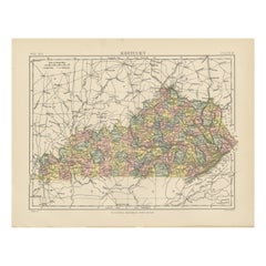
Antique Map of Kentucky
Located in Langweer, NL
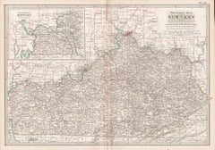
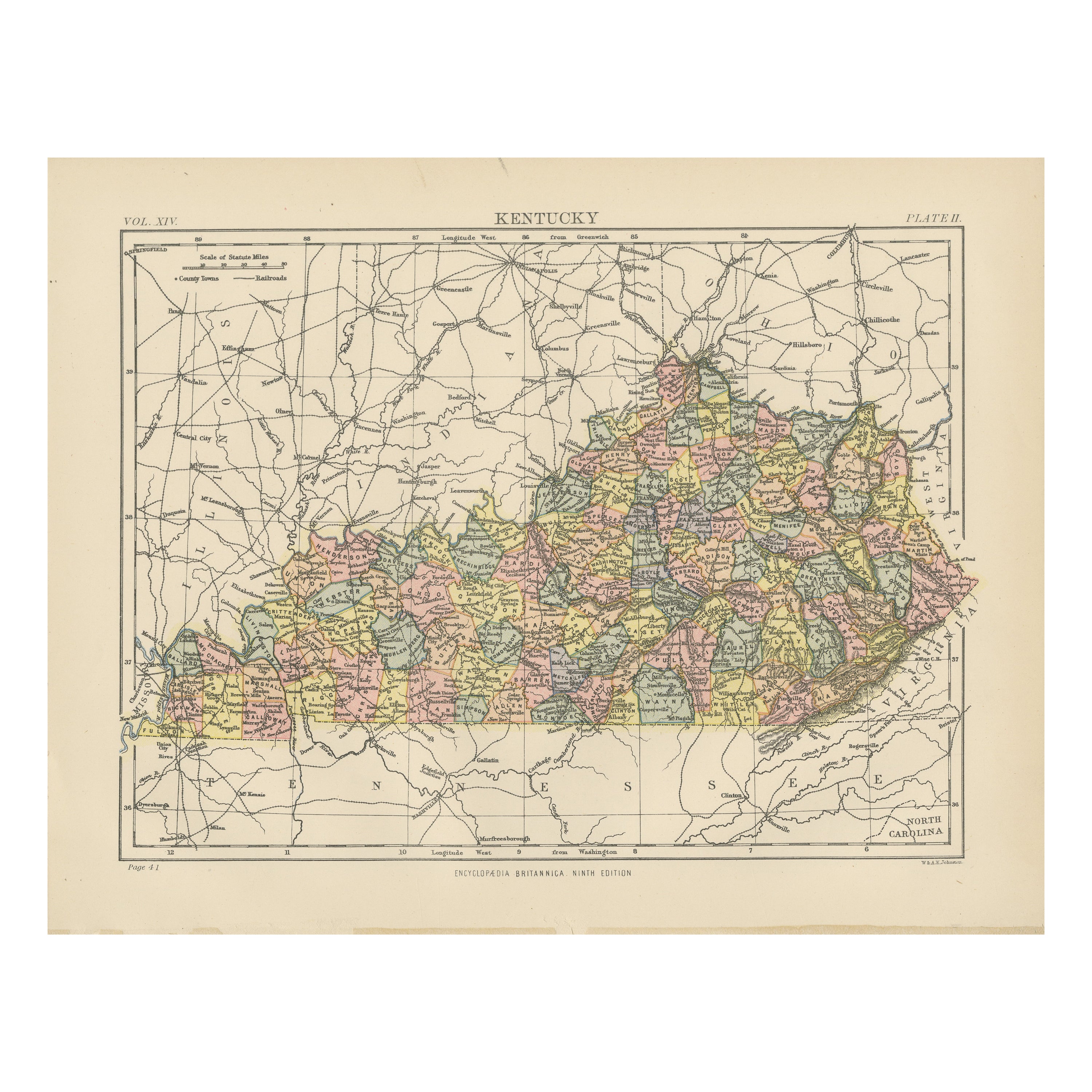
Antique map titled 'Kentucky'. Original antique map of Kentucky, United States. This print originates from 'Encyclopaedia Britannica', Ninth E...
Category
Antique Late 19th Century Maps
Materials
Paper
$277 Sale Price
20% Off
Original Antique Map of the American State of Kentucky, 1903
Located in St Annes, Lancashire
Antique map of Kentucky
Published By A & C Black. 1903
Original colour
Good condition
Unframed.
Free shipping
Category
Antique Early 1900s English Maps
Materials
Paper
Civil War Era Map of Kentucky and Tennessee with Scenic Insets, Published 1864
Located in Langweer, NL
Rare 1864 Civil War Era Map of Kentucky and Tennessee with Scenic Insets
Description: This stunning antique map, titled "Johnson's Kentucky and Tennessee," was published in 1864 by ...
Category
Antique 1860s Maps
Materials
Paper
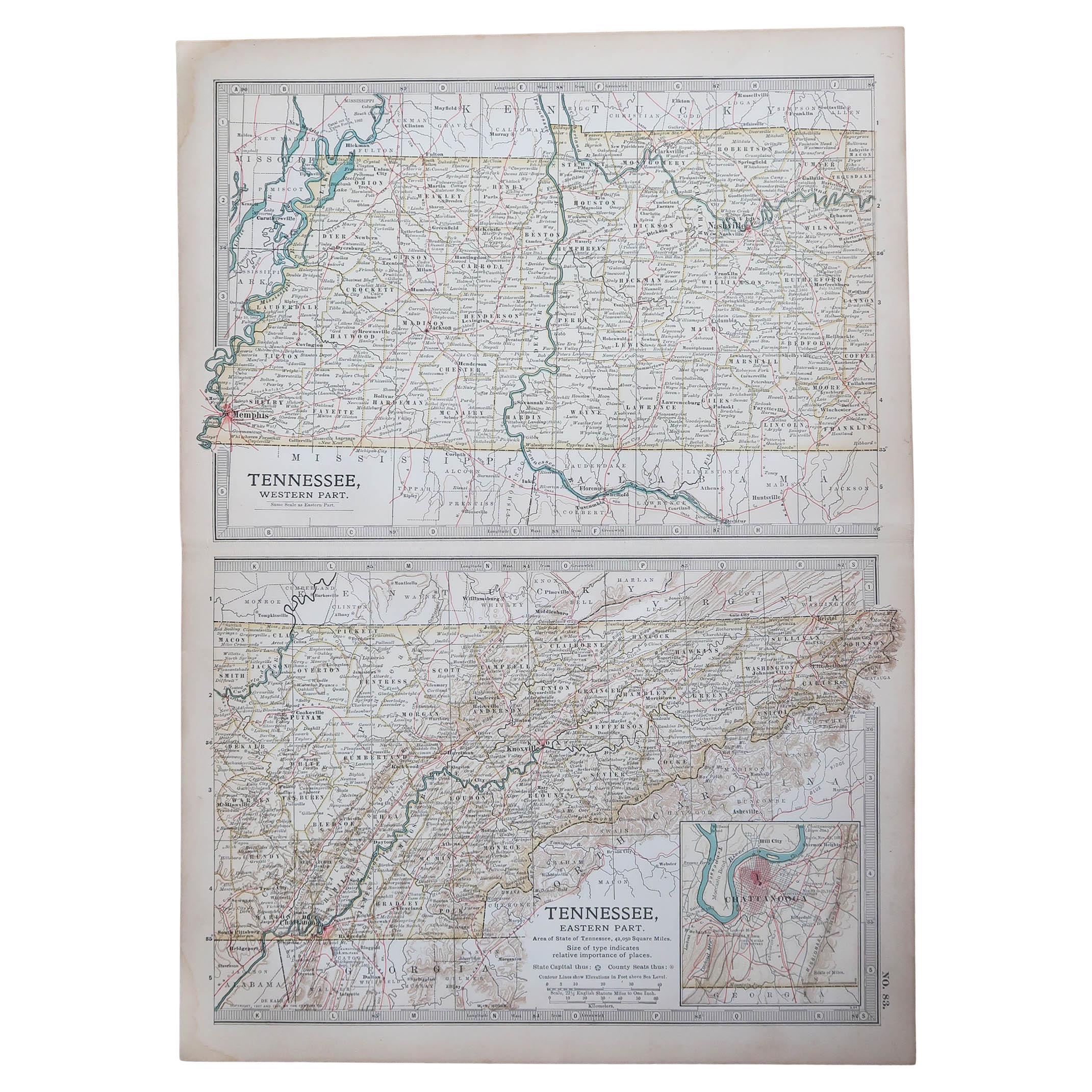
Original Antique Map of the American State of Tennessee, 1903
Located in St Annes, Lancashire
Antique map of Tennessee
Published By A & C Black. 1903
Original colour
Good condition
Unframed.
Free shipping
Category
Antique Early 1900s English Maps
Materials
Paper

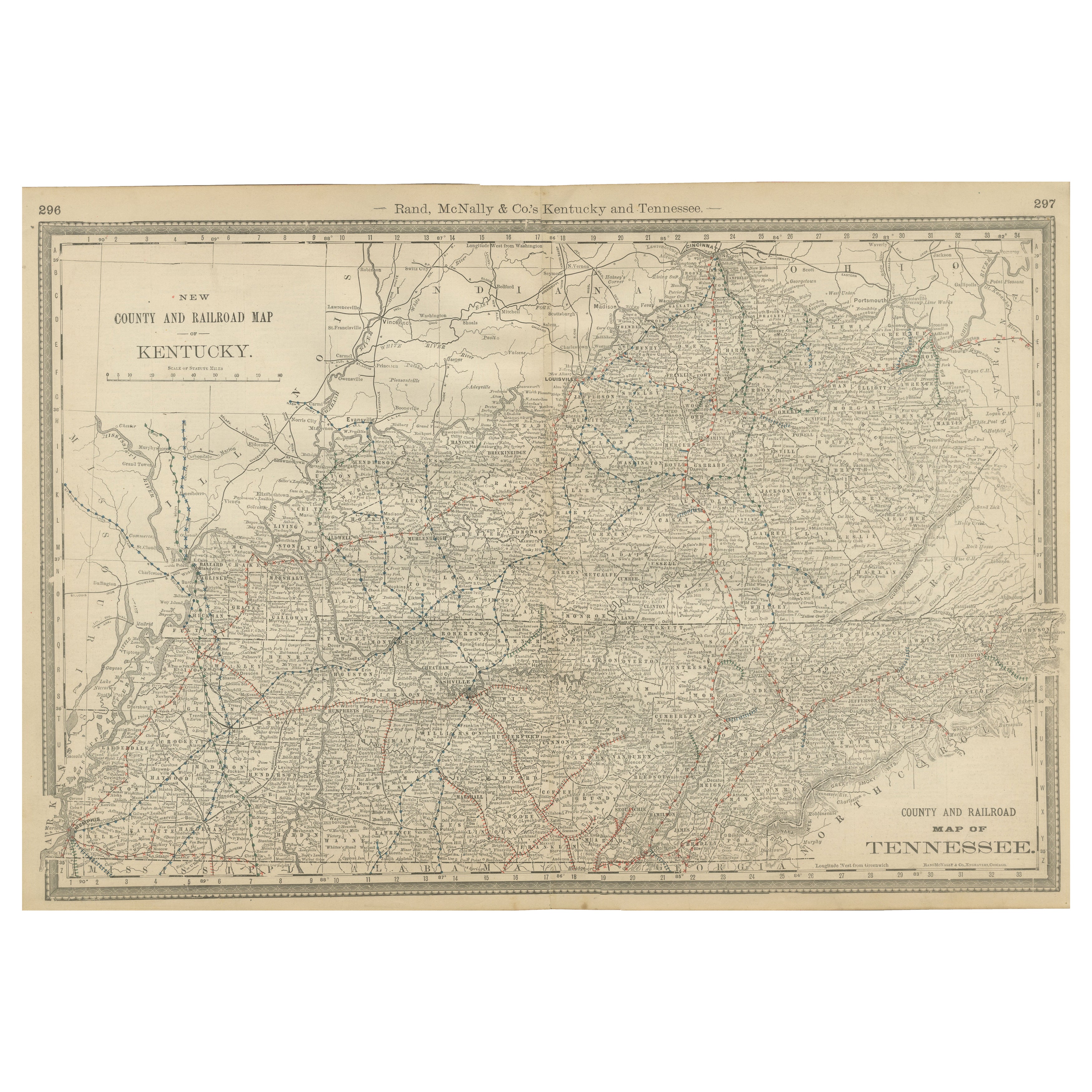
Antique Map of Kentucky
Tennessee – The Bluegrass
Volunteer States, 1888
Located in Langweer, NL
Antique Map of Kentucky & Tennessee – The Bluegrass & Volunteer States, 1888
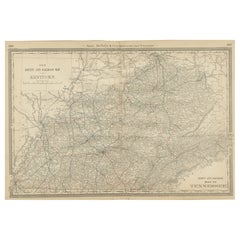
This antique engraved map of Kentucky and Tennessee, published in 1888 by Rand, McNally & Co. in Chicago for their Improved Indexed Business Atlas and Shippers Guide, provides a highly detailed view of two historically important Southern states in the late 19th century. It shows counties, towns, and an extensive network of railroads, capturing a period when rail transportation was rapidly transforming the economy and society of the post-Civil War South.
The Kentucky section, titled “New County and Railroad Map of Kentucky,” highlights the state’s counties, with Louisville, Lexington, Covington, and Frankfort (the state capital) standing out as major centers. Known as “The Bluegrass State,” Kentucky was already famous for its fertile farmland, thoroughbred horse breeding, and bourbon whiskey industry. The map shows dense railroad coverage, including the Louisville & Nashville Railroad, which connected Kentucky to major markets in the Midwest and South.
The Tennessee portion, titled “County and Railroad Map of Tennessee,” provides similar detail. Counties such as Shelby, Davidson, Knox, and Hamilton are clearly marked, along with the major cities of Memphis, Nashville (the state capital), Knoxville, and Chattanooga. Known as “The Volunteer State,” Tennessee played a critical role in American history, from its frontier heritage to its importance during the Civil War. By 1888, Tennessee’s economy was diversifying, with Memphis as a cotton trading hub, Nashville as a growing cultural and commercial center, and Chattanooga as a key industrial city connected to the railroads.
The map’s railroad...
Category
Antique Late 19th Century American Maps
Materials
Paper
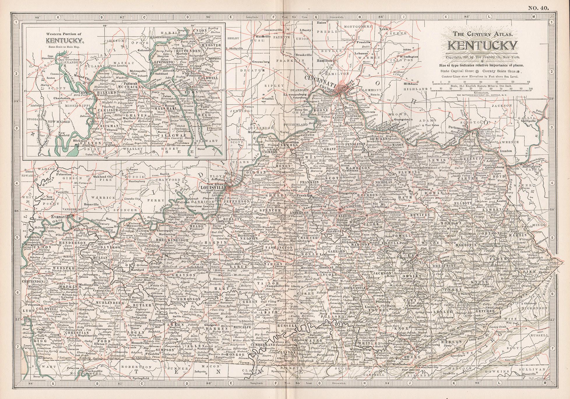
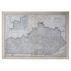
Kentucky. USA. Century Atlas state antique vintage map
Located in Melbourne, Victoria
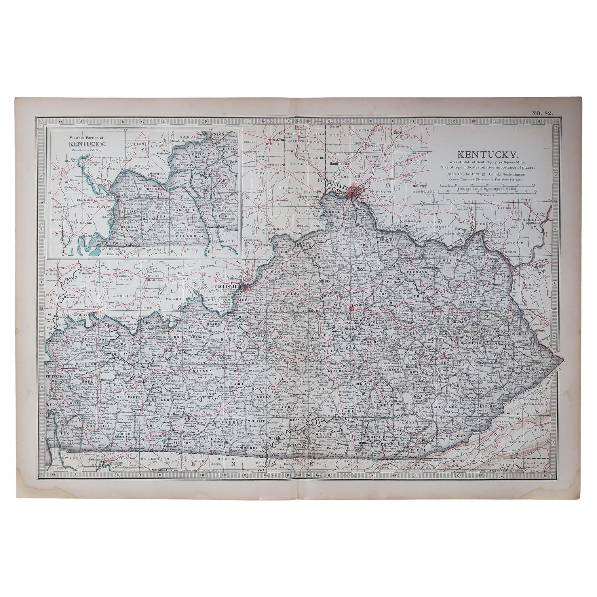
'The Century Atlas. Kentucky'
Original antique map, 1903.
Central fold as issued. Map name and number printed on the reverse corners.
Sheet 29.5cm by 40cm.
Category
Early 20th Century Victorian More Prints
Materials
Lithograph