Items Similar to 1899 Poole Brothers Antique Railroad Map of the Illinois Central Railroad
Want more images or videos?
Request additional images or videos from the seller
1 of 11
1899 Poole Brothers Antique Railroad Map of the Illinois Central Railroad
$7,950
£6,070.47
€6,911.45
CA$11,163.05
A$12,203.40
CHF 6,456.15
MX$146,033.35
NOK 82,145.24
SEK 75,195.66
DKK 51,624.23
About the Item
This is an 1899 railroad map of the Illinois Central and Yazoo and Mississippi Valley Railroads, published by the Poole Brothers. The map focuses on the continuous United States from the Atlantic to the Pacific Oceans, the Gulf of Mexico, and the Antilles. Remarkably detailed, the rail routes of the Illinois Central RR are marked in red, which each stop labeled. Major stops are overprinted in red, bold letters, with the short rail distances to New York listed above the stop and short rail distances to New Orleans listed below the name.
In addition to the Illinois Central network, numerous different rail lines are illustrated and the company running that line is noted along with many stops along each route. Sea routes from New Orleans to locations in Central America, the Caribbean, and Europe are marked and labeled with destination and distance, along with routes originating from Havana. Inset at bottom left is a map of Cuba; an inset map of Puerto Rico is included along the right border. An “Explanatory” text block is at left margin, which discusses the expansion of the Central Mississippi Valley route.
The Yazoo and Mississippi Valley Railroad was incorporated in 1882 as part of the Illinois Central Railroad. The original line ran from Jackson, Mississippi to Yazoo City, Mississippi. It later expanded through the Mississippi valley to Memphis, Tennessee. Several acquisitions in the following years, including the Mississippi and Tennessee Railroad, steadily increased the miles of track owned by the Illinois Central and lead to the creation of the Louisville, New Orleans, and Texas Railway.
This map was first produced by Poole Brothers in 1897 and then reissued in 1899, as seen here. Based in Chicago, the Poole Brothers were active in the late 19th and early 20th century, with a primary publishing focus of railroad and travel maps.
In 1868, George Amos Poole along with his uncle William H. Rand and Andrew McNally formed a partnership that purchased the printing plant of the Chicago Tribune. This partnership later incorporated under the name Rand, McNally
Co. with George serving as its treasurer. George then left the Rand McNally organization to form Poole Brothers with his brother William H. Poole. Poole Brothers was a direct competitor to Rand McNally for the lucrative railroad business. Like many of its competitors, Poole Brothers maintained an office on Chicago's Printer's Row, located in the downtown Loop district. According to a 1918 issue of The Inland Printer, the firm was seriously engaged “printing for transportation companies, with a patronage that included practically every railroad in the country." Poole Brothers later expanded to print periodicals, including Advertising Age and the New England Journal of Medicine.
Condition:
Map is in good condition, with original color. Minor stains along the bottom margin. Loss along top border due to old tape removal. Patched holes and reinforced and repaired tears on verso along the top four inches. Blank on verso.
Map has been archivally and artfully presented with a dark acid-free top mat and a custom-built black and brushed gold beaded frame.
- Dimensions:Height: 41 in (104.14 cm)Width: 47 in (119.38 cm)Depth: 1.25 in (3.18 cm)
- Materials and Techniques:
- Place of Origin:
- Period:
- Date of Manufacture:1899
- Condition:Additions or alterations made to the original: Archival framing by Rio Grande Custom Framing in Colorado Springs, CO. Repaired: Loss along top border due to old tape removal. Patched holes and reinforced and repaired tears on verso along the top four inches. Wear consistent with age and use. Minor losses. Minor structural damages.
- Seller Location:Colorado Springs, CO
- Reference Number:Seller: M2121stDibs: LU909711857273
About the Seller
4.9
Gold Seller
Premium sellers maintaining a 4.3+ rating and 24-hour response times
Established in 2010
1stDibs seller since 2011
472 sales on 1stDibs
Typical response time: 4 hours
- ShippingRetrieving quote...Shipping from: Colorado Springs, CO
- Return Policy
More From This Seller
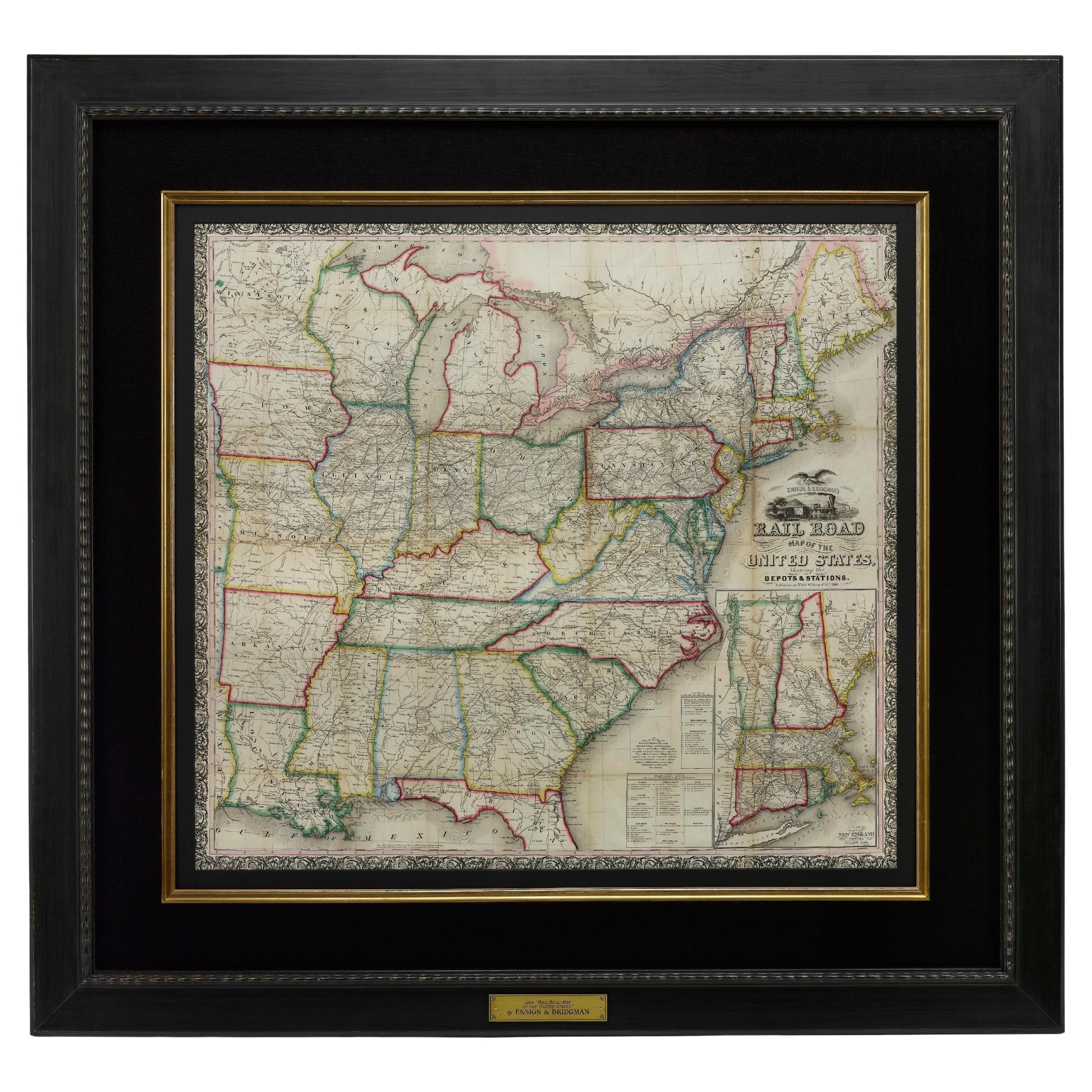
View All1866 Ensign
Bridgman
s Rail Road Map of the United States
Located in Colorado Springs, CO
Presented is an 1866 issue of “Ensign & Bridgeman’s Rail Road Map of the United States, showing Depots & Stations.” First published in 1856, this is the third edition, following anot...
Category
Antique 1860s American Late Victorian Maps
Materials
Paper

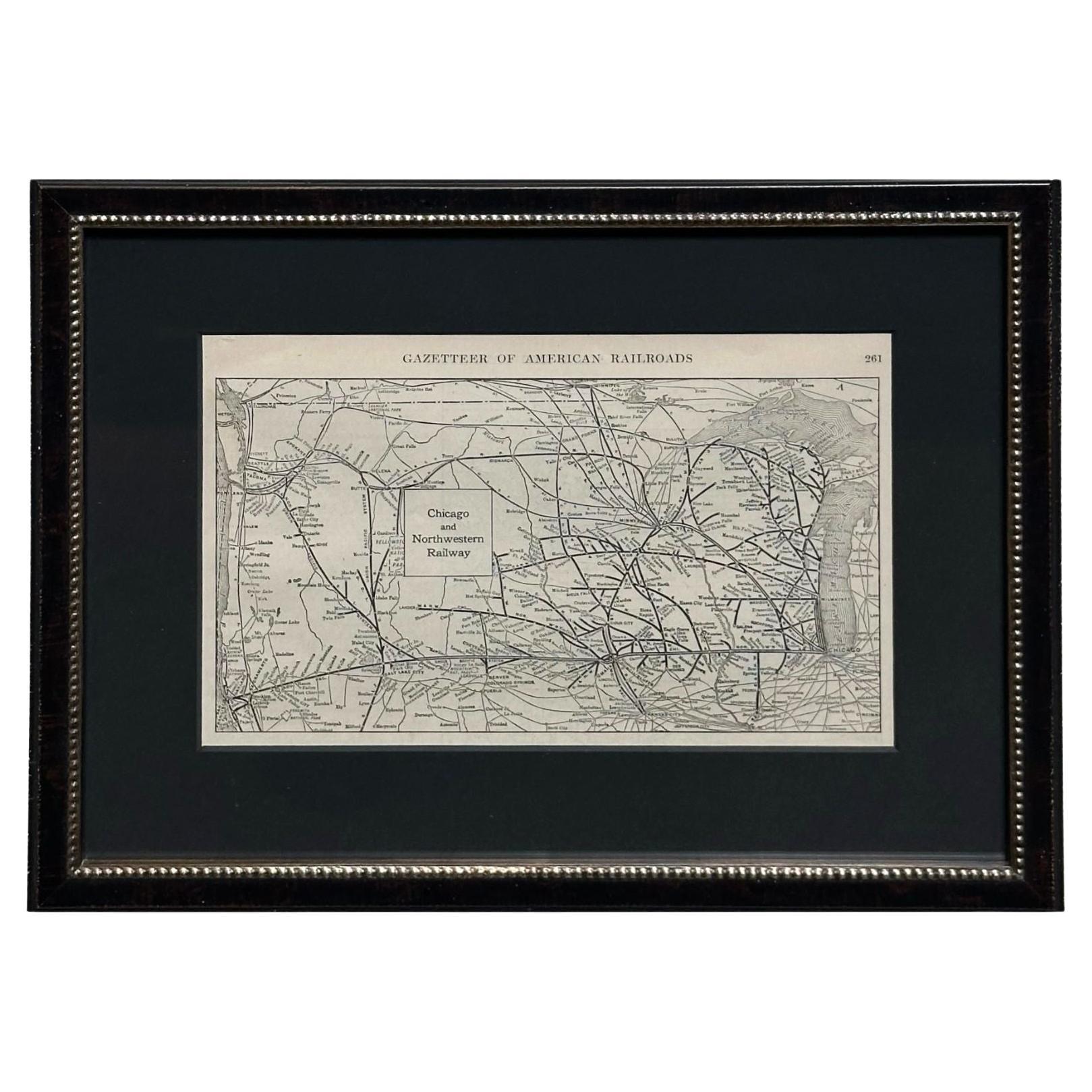
1919 "Chicago and Northwestern Railway" Map by P. F. Collier
Son
Located in Colorado Springs, CO
Presented is an antique Chicago and Northwestern Railway map from 1919. This small map is from The Gazetteer of American Railroads section of Collier’s New World Atlas and Gazetteer....
Category
Vintage 1910s American Art Deco Maps
Materials
Paper
1866 "Johnson
s United States" Map, Published by Johnson and Ward
Located in Colorado Springs, CO
Presented is a detailed map of the United States by A. J. Johnson. Spanning the whole of the continental United States, as well as adjacent parts of Canada and Mexico, the map reflec...
Category
Antique 1860s American Victorian Maps
Materials
Paper

1856 "Map of the United States" by Ensign, Bridgeman, and Fanning
Located in Colorado Springs, CO
Presented is a scarce American wall map of the United States and Mexico issued by Ensign, Bridgman, and Fanning in 1856. As the title suggests, the map covers all of the United State...
Category
Antique 1850s American Victorian Maps
Materials
Paper

1864 Map of North America, Antique Hand-Colored Map, by Adolphe Hippolyte Dufour
Located in Colorado Springs, CO
Offered is a map of North America entitled Amerique du Nord from 1864. This rare, separately published wall map was produced by Adolphe Hippolyte Dufour. This map includes vibrant an...
Category
Antique 1860s French Maps
Materials
Paper

1863 "Lloyd
s New Map of the United States, the Canadas, and New Brunswick"
Located in Colorado Springs, CO
Presented is “Lloyd's New Map of the United States, the Canadas and New Brunswick, From the latest Surveys, Showing Every Railroad & Station Finished to June 1863, and the Atlantic and Gulf Coasts.” A large, Civil War-era hanging map of the United States and adjacent territories, this map covers the area from the Atlantic Ocean and extends as far west as the 103 meridian, to “Dacotah,” Nebraska, Kansas, "Indian Territory," and Texas. The southern continuation of Florida is shown in an inset map along the right margin. This map was published by J. T. Lloyd, in New York, in 1863. According to the publisher’s marking at lower right, this map was originally issued in two states: "in Sheets, Colored" for 50 cents, and "Varnished nicely, with Rollers" for $1.
Throughout the map, the counties are colored and the towns and cities well labeled. A reference key in the bottom margin provides symbols for railroads, turnpikes and wagon roads, state capitals, cities and towns, and village post offices. As emphasized in the map’s title, this map is especially notable for the countless railway lines and stations depicted, with distances noted between points, listing “every railroad and finished station to June 1863.” Additionally, two shipping agents and their routes are drawn out of New York City. The map includes details of the steamship routes into New York and Philadelphia from Liverpool and on to California and Oregon via an overland Nicaraguan trek, presumably to assist gold rush emigrants.
This expansive and impressive map depicts the eastern half of the United States in the third year of the Civil War. In order not to recognize the legitimacy of the Confederate States of America, each state is shown in the same manner as the Union states. The only indication that the American Civil War was in progress when this map was published is a printed notice that Gideon Wells, Secretary of the Navy, wishes to acquire a quote on 100 copies of Lloyd’s Mississippi River map...
Category
Antique 1860s American Maps
Materials
Linen, Wood, Paper

You May Also Like
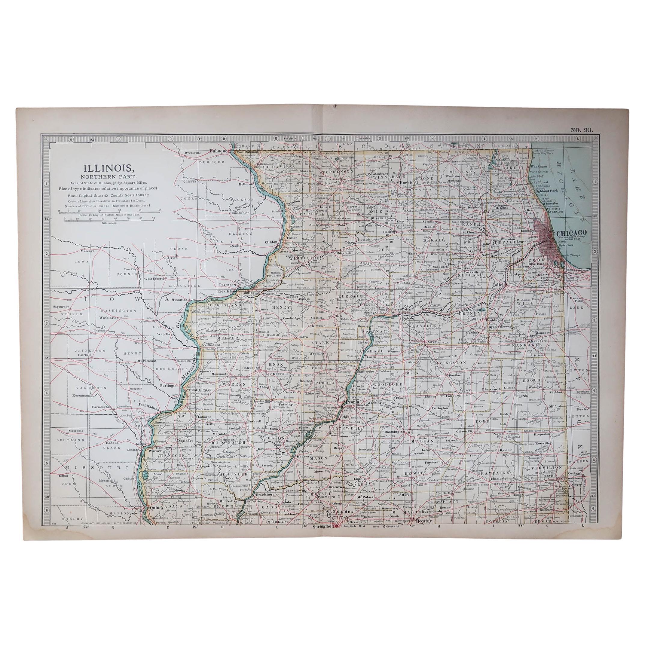
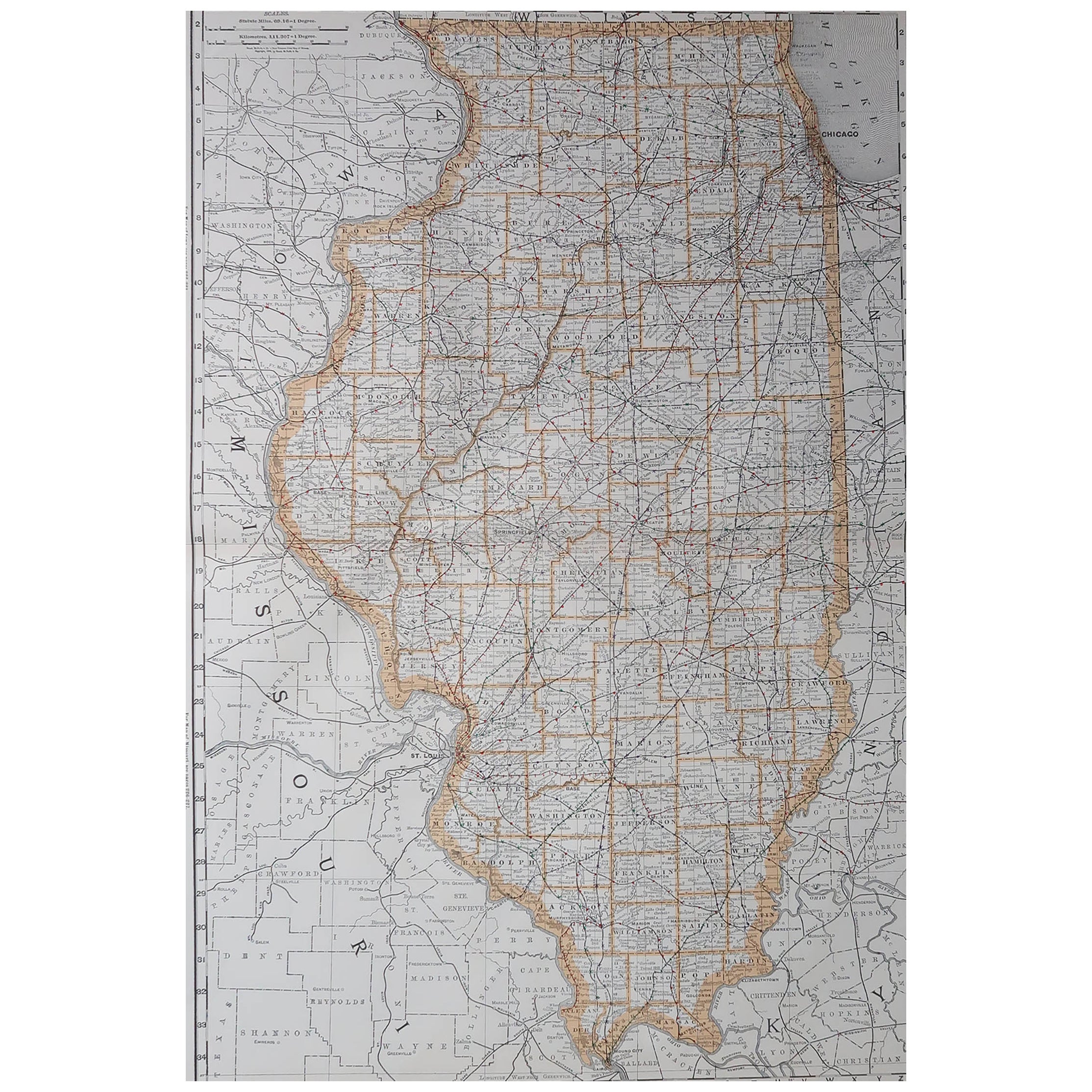
Original Antique Map of the American State of Illinois ( Northern Part ), 1903
Located in St Annes, Lancashire
Antique map of Illinois ( Northern part )
Published By A & C Black. 1903
Original colour
Good condition
Unframed.
Free shipping
Category
Antique Early 1900s English Maps
Materials
Paper

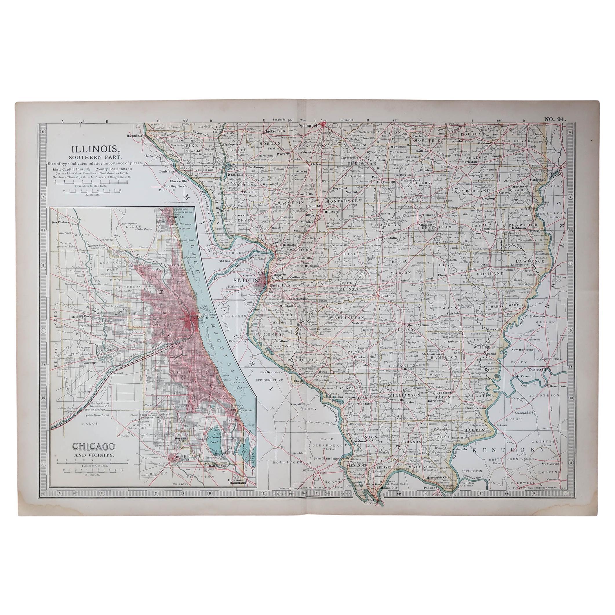
Original Antique Map of the American State of Illinois ( Southern Part ), 1903
Located in St Annes, Lancashire
Antique map of Illinois ( Southern part )
Published By A & C Black. 1903
Original colour
Good condition
Unframed.
Free shipping
Category
Antique Early 1900s English Maps
Materials
Paper

Large Original Antique Map of Illinois, USA, 1894
By Rand McNally
Co.
Located in St Annes, Lancashire
Fabulous map of Illinois
Original color
By Rand, McNally & Co.
Published, 1894
Unframed
Free shipping.
Category
Antique 1890s American Maps
Materials
Paper
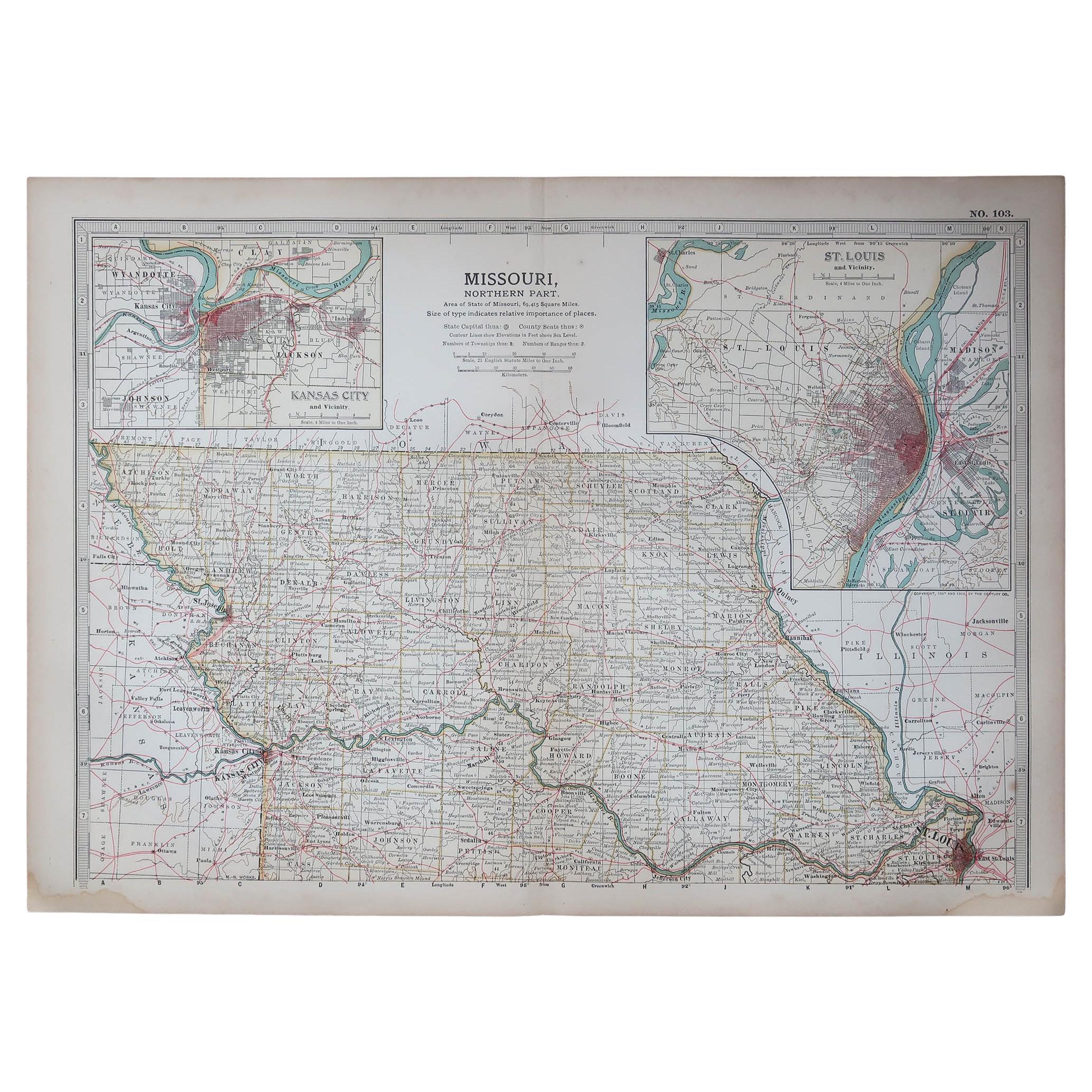
Original Antique Map of the American State of Missouri ( Northern part ), 1903
Located in St Annes, Lancashire
Antique map of Missouri ( Northern Part )
Published By A & C Black. 1903
Original colour
Good condition
Unframed.
Free shipping
Category
Antique Early 1900s English Maps
Materials
Paper

Detailed Antique Map of Illinois – Railroads, Cities
Counties, 1888
Located in Langweer, NL
Antique Map of Illinois – Railroads, Cities & Counties, 1888
This finely detailed antique map shows the state of Illinois in the late 19th century, engraved and published in 1888 by...
Category
Antique Late 19th Century American Maps
Materials
Paper

Antique Railroad Map of the United States by Rand, McNally
Co, 1900
Located in Langweer, NL
Antique map titled 'Rand, McNally & Co's New Official Railroad map of the United States with portions of The Dominion of Canada, The Republic of Mexico and the West Indies'. Large railroad map of the United States, sectionalised and laid on linen. Map shows state boundaries for the United States, Mexico, the West Indies, and lower portion of Canada; major cities and towns, military posts, Native American reservations, and railroads; Oklahoma and "Indian Territory." Inset: "Map of Alaska...
Category
20th Century Maps
Materials
Linen, Paper

$2,243 Sale Price
25% Off
Free Shipping
More Ways To Browse
Railroad Furniture
Antique Railroad Furniture
Antique Maps Of New York City
Map Railroad
Antique Railroad Maps
Railroad Collectibles
Antique Railroad Collectibles
Antique Puerto Rico
Railway Map
Antique Furniture Illinois
Antique Map Of Cuba
Map Of Puerto Rico
George Poole
Antique Furniture Plans
Antique Maps Of Africa
Antique Map India
Antique Map Of The South Of France
Antique English Maps