Items Similar to 1919 "Chicago and Northwestern Railway" Map by P. F. Collier
Son
Want more images or videos?
Request additional images or videos from the seller
1 of 9
1919 "Chicago and Northwestern Railway" Map by P. F. Collier
Son
$550
£419.01
€478.19
CA$772.88
A$842.30
CHF 446.04
MX$10,116.95
NOK 5,646.91
SEK 5,191.78
DKK 3,571.53
About the Item
Presented is an antique Chicago and Northwestern Railway map from 1919. This small map is from The Gazetteer of American Railroads section of Collier’s New World Atlas and Gazetteer. The atlas was published by P. F. Collier
Son, in New York. The map extends from Chicago and Milwalkee in the east, across the west to Bellingham and Seattle in the northwest and San Francisco in the southwest. Criss-crossing across the vast area are the prominent railway routes of the time. The focus is mostly on the Chicago and North Western Railway routes, and the other smaller connecting lines in the midwest. However, the Northern Pacific and Southern Pacific lines are also shown. Although no state borders are printed on the map, cities and towns that are key railroad hubs are listed. Major lakes, including Lake Superior, Lake Michigan, Lake of the Woods, Great Salt Lake, and Goose Lake, are drawn on the map. Yellowstone National Park and Yosemite National Park are also outlined and identified.
The Chicago and North Western Railway played a vital role in the expansion of the American Midwest. Chartered on June 7, 1859, through the merger of several small railroads in Illinois and Wisconsin, it was initially led by William B. Ogden, Chicago’s first mayor. Under the leadership of Marvin Hughitt from 1872 to 1910, the network expanded rapidly from about 1,400 to nearly 10,000 miles of track, primarily serving Illinois, Wisconsin, Iowa, and Minnesota. By the early 20th century, the railway had become a major transportation artery, connecting Chicago with agricultural and industrial hubs across the upper Midwest.
From 1910 to 1920, the railway played a crucial role in supporting industrial growth, transporting grain, livestock, and manufactured goods while driving labor migration and urban development. Its importance grew further during World War I, when the U.S. government temporarily nationalized railroads under the United States Railroad Administration in 1917. Their trains helped move troops, equipment, and supplies across the country. After returning to private control in 1920, the railroad emerged stronger and more efficient.
CONDITION:
Small map. Paper is healthy, save light stains in the margins. The original atlas page number, "261," and “Gazetteer of American Railroads" printed in top margin. Printed with black ink, no color.
Archivally framed with an acid-free mat, UV glass, and custom-built wooden frame.
Framed Dimensions: 10 1/8" H x 14 3/8" W x 5/8" D.
Accompanied by our company's letter of authenticity.
- Dimensions:Height: 10.13 in (25.74 cm)Width: 14.38 in (36.53 cm)Depth: 0.63 in (1.61 cm)
- Style:Art Deco (Of the Period)
- Materials and Techniques:
- Place of Origin:
- Period:1910-1919
- Date of Manufacture:1919
- Condition:Additions or alterations made to the original: Framed to archival and conservation standards by Artem Art Services in Colorado Springs, CO in July of 2025. Wear consistent with age and use. Minor fading.
- Seller Location:Colorado Springs, CO
- Reference Number:Seller: M3731stDibs: LU909746601282
About the Seller
4.9
Gold Seller
Premium sellers maintaining a 4.3+ rating and 24-hour response times
Established in 2010
1stDibs seller since 2011
471 sales on 1stDibs
Typical response time: <1 hour
- ShippingRetrieving quote...Shipping from: Colorado Springs, CO
- Return Policy
More From This Seller
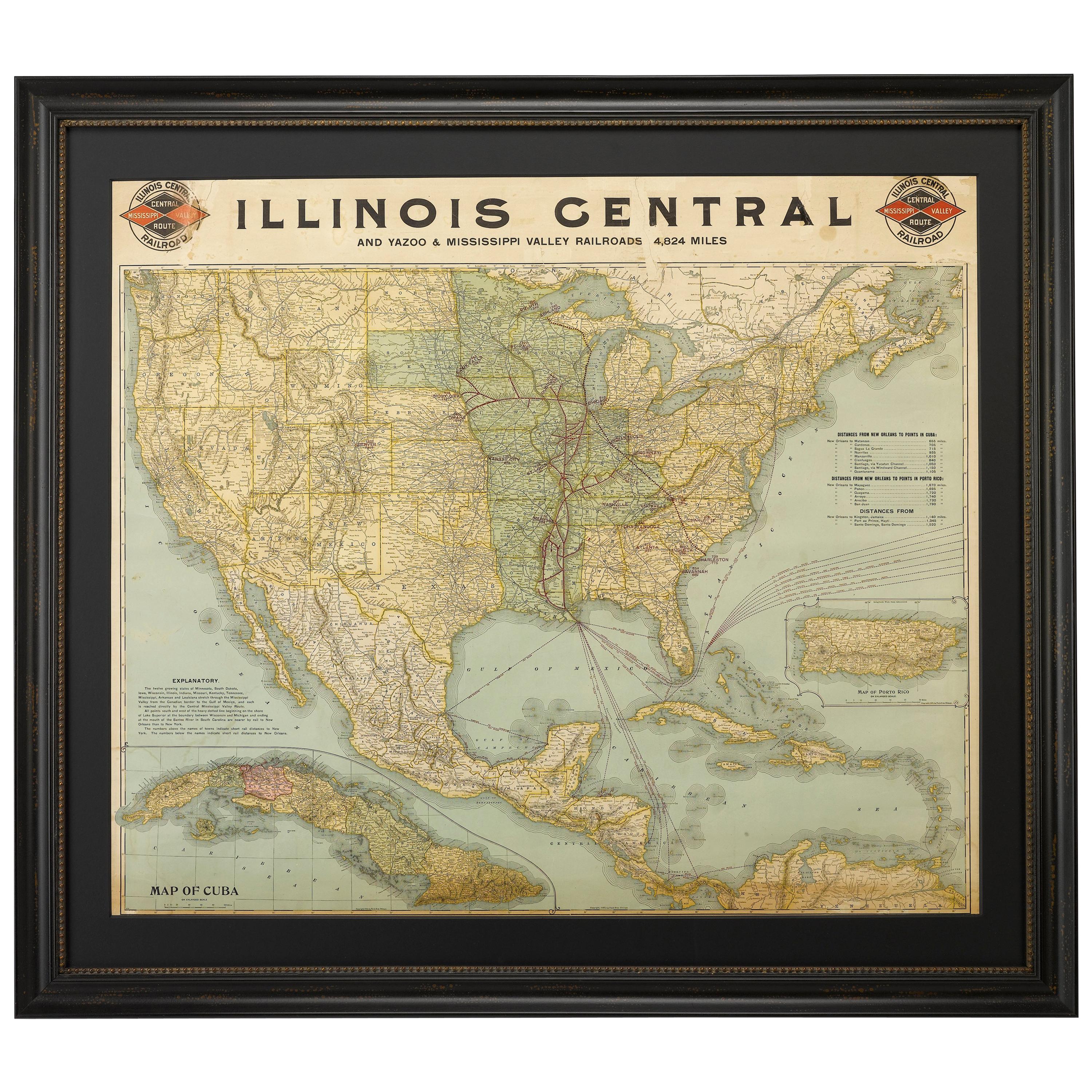
View All1899 Poole Brothers Antique Railroad Map of the Illinois Central Railroad
Located in Colorado Springs, CO
This is an 1899 railroad map of the Illinois Central and Yazoo and Mississippi Valley Railroads, published by the Poole Brothers. The map focuses on the continuous United States from the Atlantic to the Pacific Oceans, the Gulf of Mexico, and the Antilles. Remarkably detailed, the rail routes of the Illinois Central RR are marked in red, which each stop labeled. Major stops are overprinted in red, bold letters, with the short rail distances to New York listed above the stop and short rail distances to New Orleans listed below the name.
In addition to the Illinois Central network, numerous different rail lines are illustrated and the company running that line is noted along with many stops along each route. Sea routes from New Orleans to locations in Central America, the Caribbean, and Europe are marked and labeled with destination and distance, along with routes originating from Havana. Inset at bottom left is a map of Cuba; an inset map of Puerto Rico...
Category
Antique 1890s American Maps
Materials
Paper

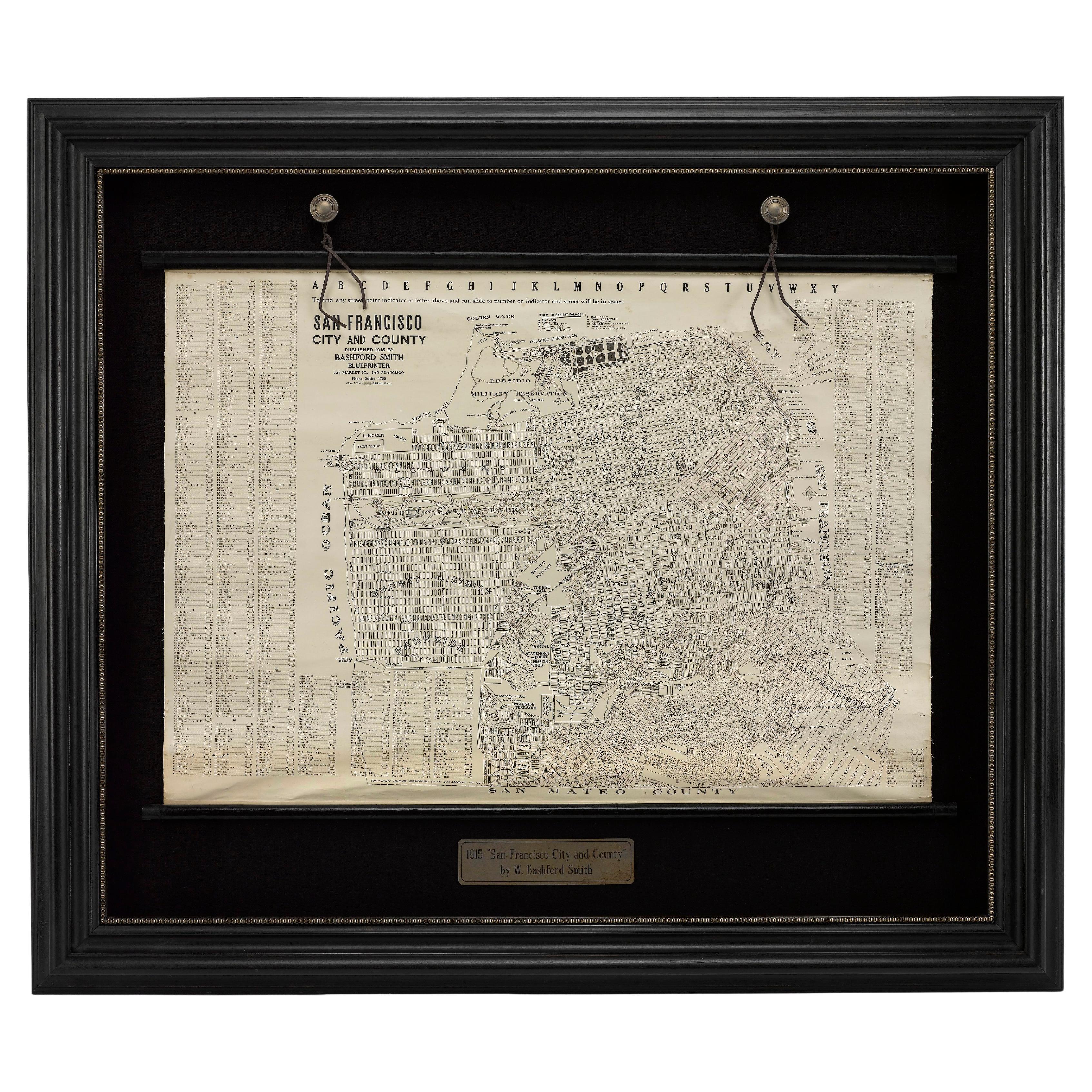
1915 "San Francisco City and County" Hanging Map by W. Bashford Smith
Located in Colorado Springs, CO
Presented is a rare wall map of San Francisco by W. Bashford Smith. Published in San Francisco in 1915, this map indicates streets and city districts, and, most notably, shows the si...
Category
Vintage 1910s American Art Deco Maps
Materials
Wood, Paper

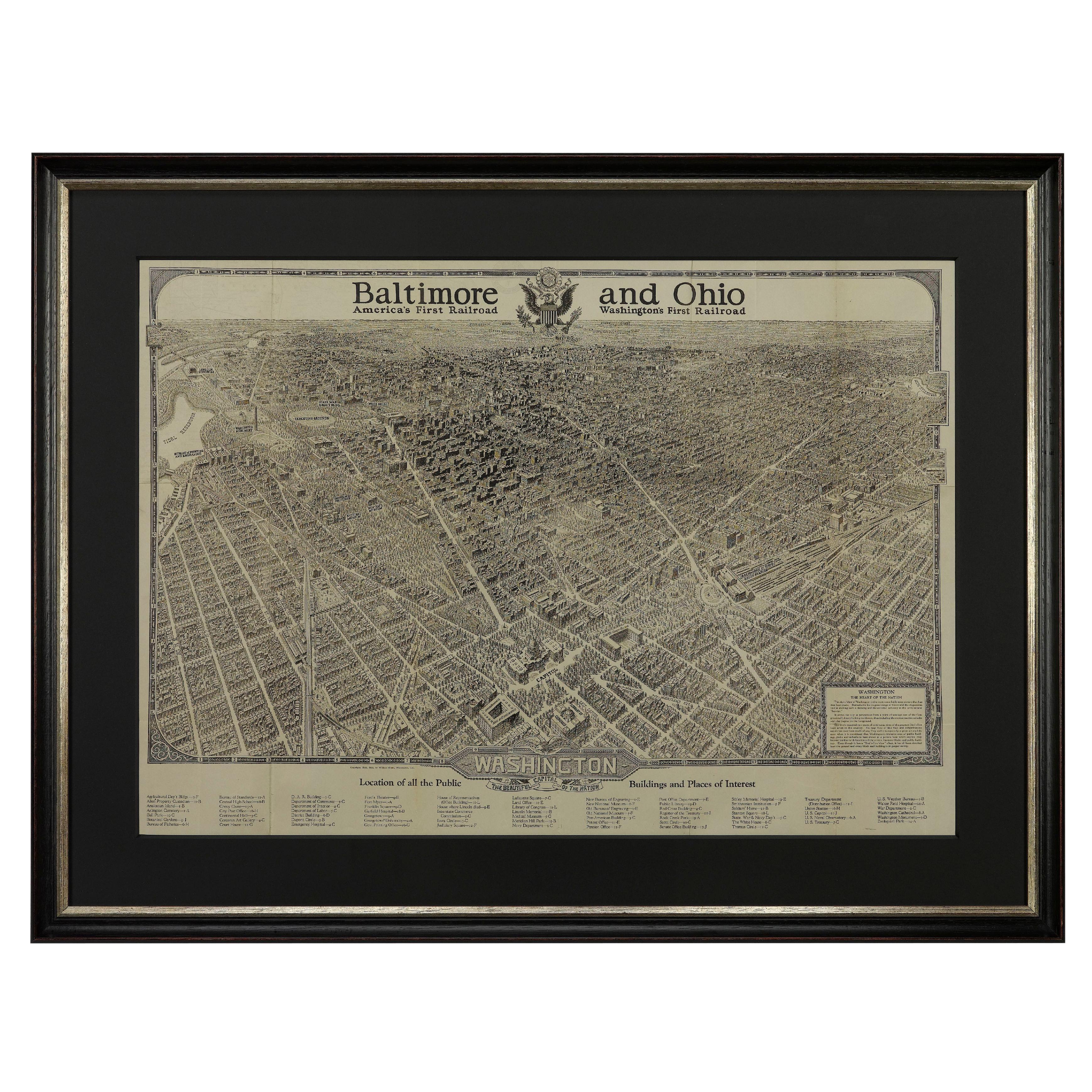
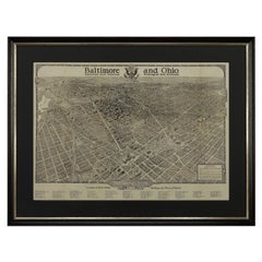
1923 "Washington, The Beautiful Capital of the Nation" Baltimore and Ohio RR Map
Located in Colorado Springs, CO
This is a fabulous 1923 bird's eye map of Washington, DC that shows the city in amazing detail. Every building is individually drawn and all major roads in the city are shown. The vi...
Category
Vintage 1920s American Art Deco Maps
Materials
Paper
1866 Ensign
Bridgman
s Rail Road Map of the United States
Located in Colorado Springs, CO
Presented is an 1866 issue of “Ensign & Bridgeman’s Rail Road Map of the United States, showing Depots & Stations.” First published in 1856, this is the third edition, following anot...
Category
Antique 1860s American Late Victorian Maps
Materials
Paper

1864 Map of North America, Antique Hand-Colored Map, by Adolphe Hippolyte Dufour
Located in Colorado Springs, CO
Offered is a map of North America entitled Amerique du Nord from 1864. This rare, separately published wall map was produced by Adolphe Hippolyte Dufour. This map includes vibrant an...
Category
Antique 1860s French Maps
Materials
Paper

1868 "Lloyd
s Topographical Railway Map of North America..." Hanging Wall Map
Located in Colorado Springs, CO
Presented is “Lloyd's Topographical Railway Map of North-America, or the United States Continent in 1900.” This map was published by J. T. Lloyd, in New York, in 1868. A large, hangi...
Category
Antique 1860s American Late Victorian Maps
Materials
Linen, Paper

You May Also Like
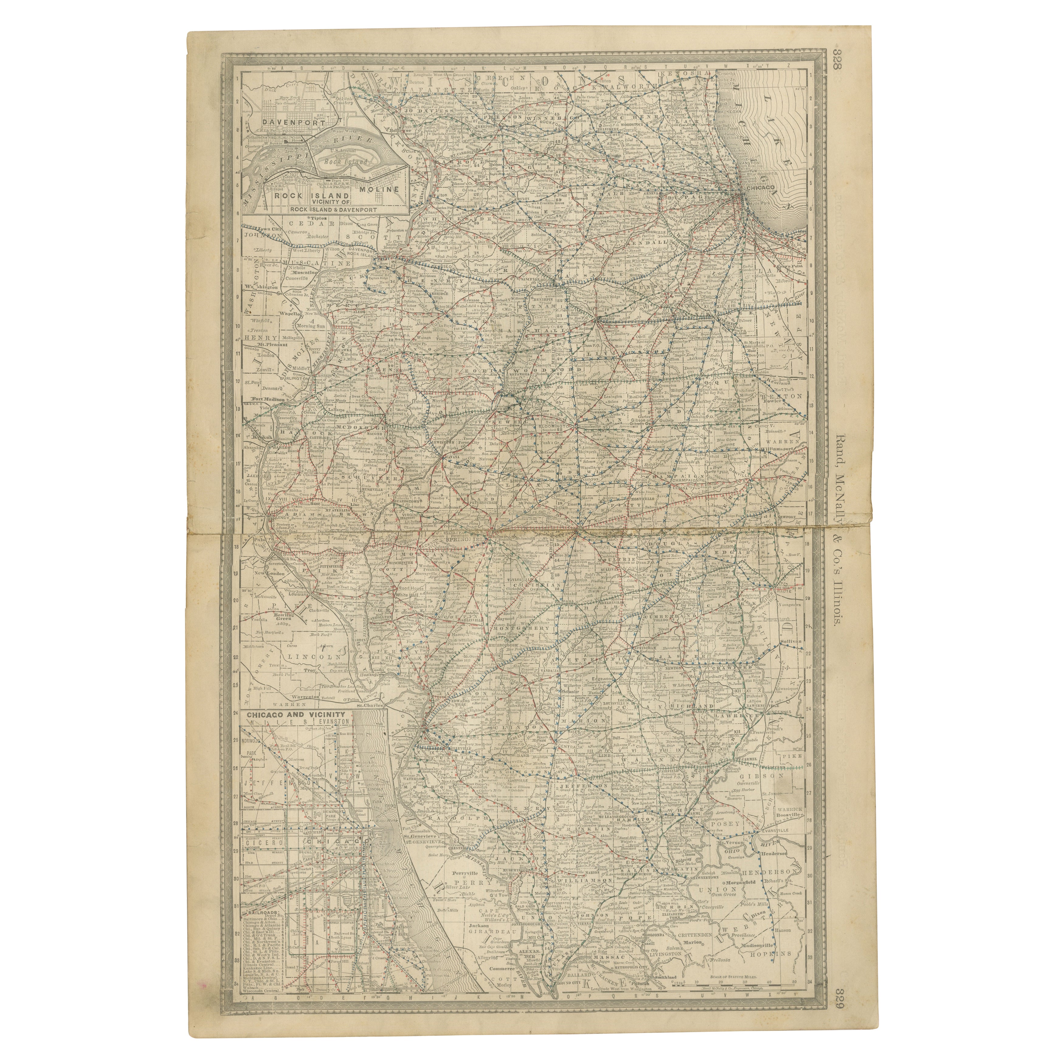
Detailed Antique Map of Illinois – Railroads, Cities
Counties, 1888
Located in Langweer, NL
Antique Map of Illinois – Railroads, Cities & Counties, 1888
This finely detailed antique map shows the state of Illinois in the late 19th century, engraved and published in 1888 by...
Category
Antique Late 19th Century American Maps
Materials
Paper

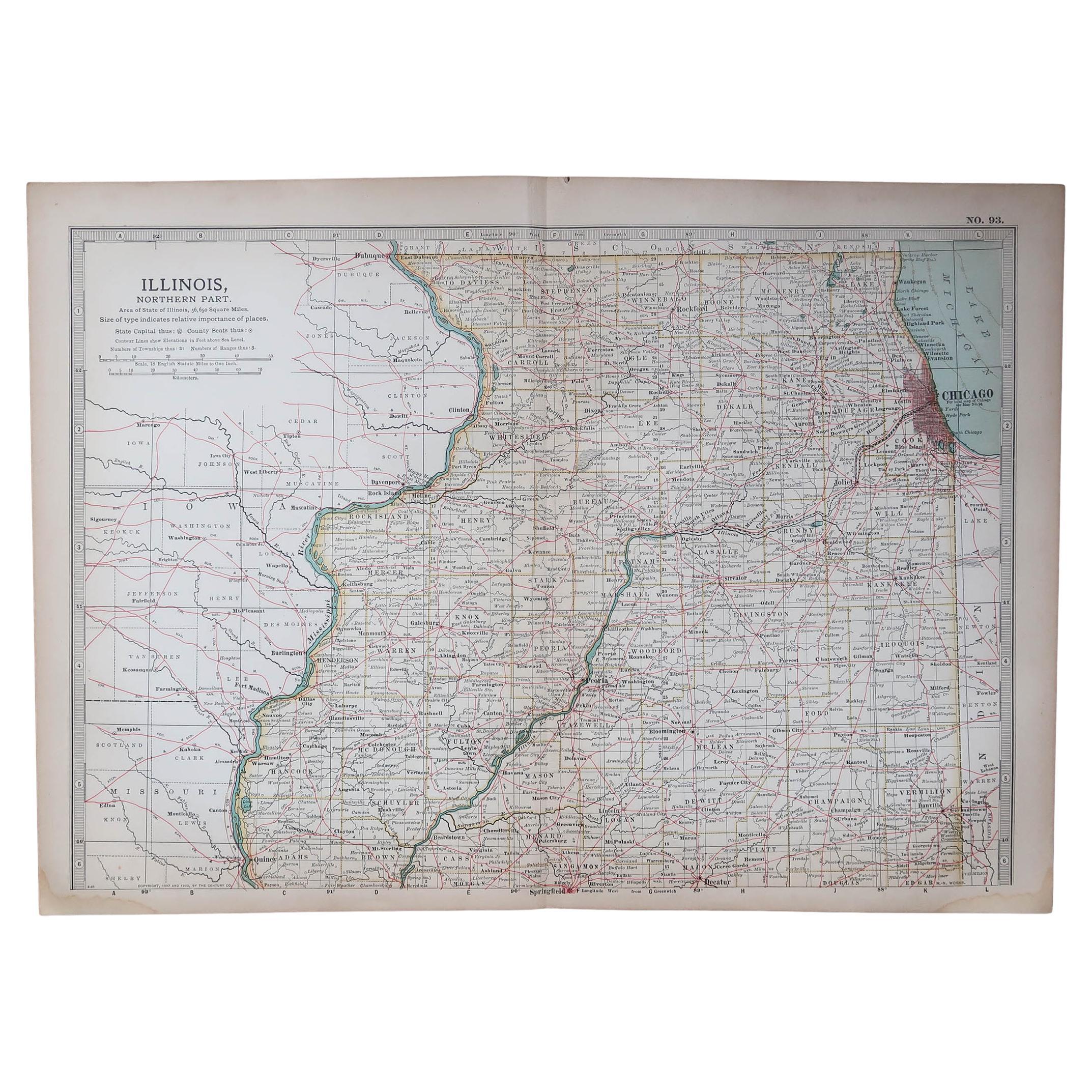
Original Antique Map of the American State of Illinois ( Northern Part ), 1903
Located in St Annes, Lancashire
Antique map of Illinois ( Northern part )
Published By A & C Black. 1903
Original colour
Good condition
Unframed.
Free shipping
Category
Antique Early 1900s English Maps
Materials
Paper

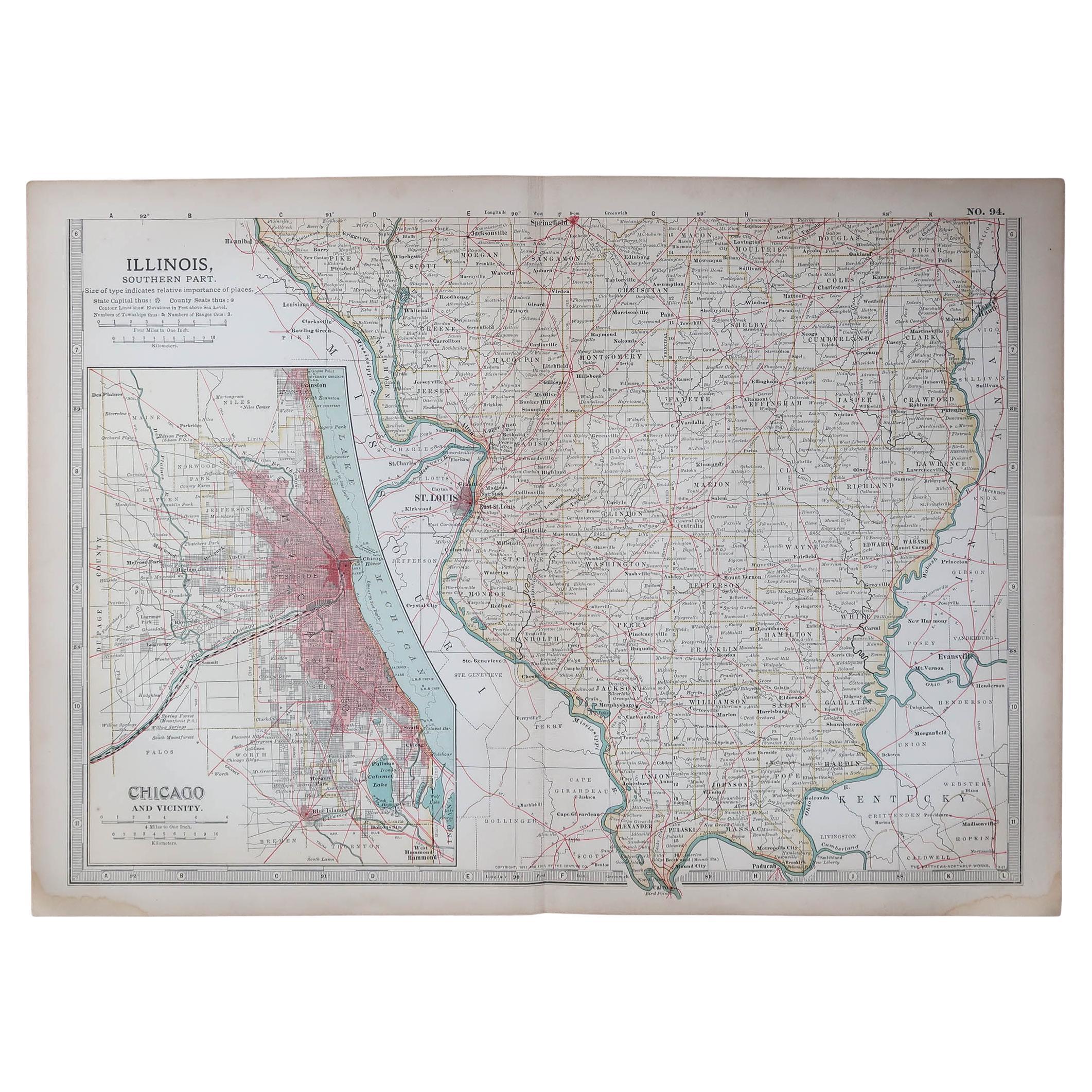
Original Antique Map of the American State of Illinois ( Southern Part ), 1903
Located in St Annes, Lancashire
Antique map of Illinois ( Southern part )
Published By A & C Black. 1903
Original colour
Good condition
Unframed.
Free shipping
Category
Antique Early 1900s English Maps
Materials
Paper

Antique Railroad Map of the United States by Rand, McNally
Co, 1900
Located in Langweer, NL
Antique map titled 'Rand, McNally & Co's New Official Railroad map of the United States with portions of The Dominion of Canada, The Republic of Mexico and the West Indies'. Large railroad map of the United States, sectionalised and laid on linen. Map shows state boundaries for the United States, Mexico, the West Indies, and lower portion of Canada; major cities and towns, military posts, Native American reservations, and railroads; Oklahoma and "Indian Territory." Inset: "Map of Alaska...
Category
20th Century Maps
Materials
Linen, Paper

$2,243 Sale Price
25% Off
Free Shipping
Original Antique Map of the American State of Michigan ( Northern Part ), 1903
Located in St Annes, Lancashire
Antique map of Michigan ( Northern part )
Published By A & C Black. 1903
Original colour
Good condition
Unframed.
Free shipping
Category
Antique Early 1900s English Maps
Materials
Paper

Original Antique Map of the American State of Colorado, 1903
Located in St Annes, Lancashire
Antique map of Colorado
Published By A & C Black. 1903
Original colour
Good condition
Unframed.
Free shipping
Category
Antique Early 1900s English Maps
Materials
Paper
