Items Similar to Antique Decorative Coloured Map of North America, 1882


Want more images or videos?
Request additional images or videos from the seller
1 of 7
Antique Decorative Coloured Map of North America, 1882
$296.64
£221.22
€250
CA$412.91
A$443.15
CHF 237.54
MX$5,333.05
NOK 2,995.07
SEK 2,731.09
DKK 1,904.85
About the Item
This original antique map of North America is from the Blackie
Son Atlas published in 1882. Here are several points of interest about this map:
1. **Political Borders**: The map likely shows the political boundaries of countries within North America as they were recognized in 1882. This includes the United States, Canada, and Mexico, and potentially their internal divisions such as states, territories, or provinces.
2. **Cartographic Style**: As with the other maps from the Blackie
Son Atlas, this one would exhibit the cartographic style of the late 19th century, with fine detail, hachures or shading for mountainous terrain, and hand coloring.
3. **Geographic Features**: The map details geographic features such as mountain ranges, river systems, and lakes. Given the scale of exploration and settlement at the time, these features would be depicted with the best knowledge available then.
4. **Development**: The map reflects the state of development and settlement in North America, with cities and towns marked, and perhaps some areas labeled as territories or unorganized regions.
5. **Indigenous Peoples**: The map may indicate territories of indigenous peoples, though this would be through the lens of European cartographers who may not accurately represent the sovereignty or territories of these groups.
6. **Historical Context**: The map provides a snapshot of North America at a time of significant growth and change, especially in the aftermath of the American Civil War and during the period of the United States' westward expansion.
Maps like this are invaluable tools for understanding historical perspectives on geography and development. They show how borders, perceptions of geography, and the importance of certain regions have changed over time.
- Dimensions:Height: 14.97 in (38 cm)Width: 22.45 in (57 cm)Depth: 0 in (0.02 mm)
- Materials and Techniques:
- Period:
- Date of Manufacture:1882
- Condition:Good condition, folding line in the middle. The outer borders are slightly discolored due to age, but not the image. Study the image carefully.
- Seller Location:Langweer, NL
- Reference Number:Seller: BG-13601-2-571stDibs: LU3054338775752
About the Seller
5.0
Recognized Seller
These prestigious sellers are industry leaders and represent the highest echelon for item quality and design.
Platinum Seller
Premium sellers with a 4.7+ rating and 24-hour response times
Established in 2009
1stDibs seller since 2017
2,830 sales on 1stDibs
Typical response time: 1 hour
- ShippingRetrieving quote...Shipping from: Langweer, Netherlands
- Return Policy
More From This Seller
View AllAntique Map of North America by A
C. Black, 1870
Located in Langweer, NL
Antique map titled 'North America'. Original antique map of North America. This map originates from ‘Black's General Atlas of The World’. Published by A & C. Black, 1870.
Category
Antique Late 19th Century Maps
Materials
Paper

$261 Sale Price
20% Off
Antique Map of North America by Johnston, 1882
By Alexander Keith Johnston
Located in Langweer, NL
Antique map titled 'North America'.
Old map of North America. This map originates from 'The Royal Atlas of Modern Geography, Exhibiting, in a Series of Entirely Original and Authen...
Category
Antique 19th Century Maps
Materials
Paper

Antique Map of North America by Levasseur, 1875
Located in Langweer, NL
Antique map titled 'Carte générale de l'Amérique Septentrionale'. Large map of North America. This map originates from 'Atlas de Géographie Modern...
Category
Antique Late 19th Century French Maps
Materials
Paper

Antique Map of the United States of North America, c.1882
Located in Langweer, NL
Antique map titled 'United States of North America'. Old map of the United States of North America. This map originates from 'The Royal Atlas of Modern Geography, Exhibiting, in a Se...
Category
Antique 1880s Maps
Materials
Paper

Antique Map of The United States of North America, 1882
Located in Langweer, NL
This is a historical map titled "The United States of North America, Central Part" from the 1882 Blackie Atlas. It depicts the continental United States with a high level of detail, ...
Category
Antique 1880s British Maps
Materials
Paper

$237 Sale Price
20% Off
Old Original Antique German Map of North America, ca.1870
Located in Langweer, NL
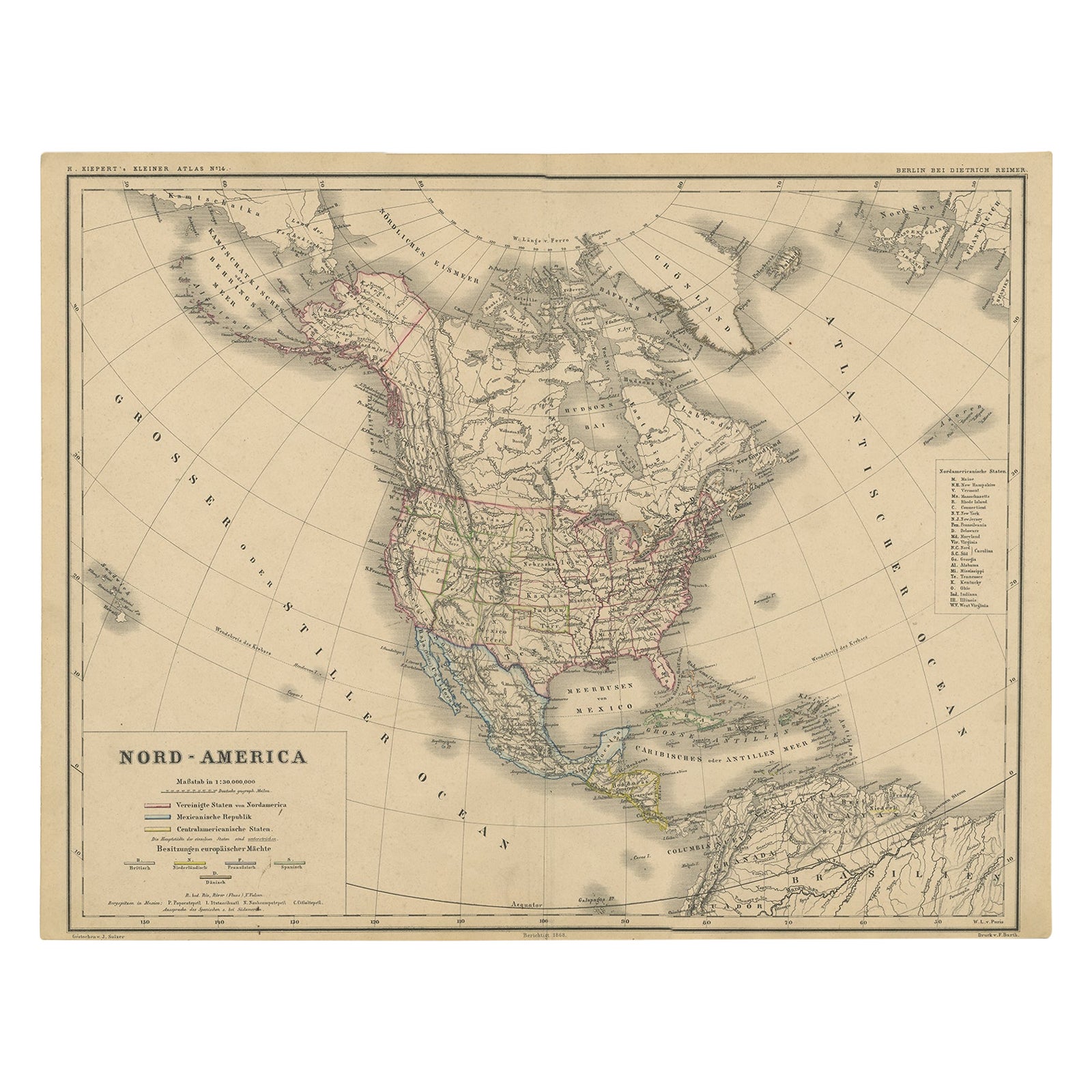
Antique map titled 'Nord-America'.
Old map of North America. This map originates from 'H. Kiepert's Kleiner Atlas der Neueren Geographie für Schule und Haus'.
Artists and Engrave...
Category
Antique 1870s German Maps
Materials
Paper

$377 Sale Price
35% Off
You May Also Like
Large Original Vintage Map of North America, circa 1920
Located in St Annes, Lancashire
Great map of North America
Original color. Good condition
Published by Alexander Gross
Unframed.
Category
Vintage 1920s English Edwardian Maps
Materials
Paper

1864 Map of North America, Antique Hand-Colored Map, by Adolphe Hippolyte Dufour
Located in Colorado Springs, CO
Offered is a map of North America entitled Amerique du Nord from 1864. This rare, separately published wall map was produced by Adolphe Hippolyte Dufour. This map includes vibrant an...
Category
Antique 1860s French Maps
Materials
Paper

North America. Century Atlas antique vintage map
Located in Melbourne, Victoria
'The Century Atlas. North America'
Original antique map, 1903.
Central fold as issued. Map name and number printed on the reverse corners.
Sheet 40cm by 29.5cm.
Category
Early 20th Century Victorian More Prints
Materials
Lithograph

Early 19th Century Hand Coloured Map of North America by Aaron Arrowsmith
By Aaron Arrowsmith
Located in Hamilton, Ontario
Hand coloured map in French by English cartographer Aaron Arrowsmith (1750–1823) titled "Amerique Septentionale" (North America).
Map size: 9.5" x 8"
Mat size: 20.5" x 14.25".
Category
Antique Early 19th Century English Maps
Materials
Paper

$795 Sale Price
36% Off
Original Antique Map of North America by Dower, circa 1835
Located in St Annes, Lancashire
Nice map of North America
Drawn and engraved by J.Dower
Published by Orr & Smith. C.1835
Unframed.
Free shipping
Category
Antique 1830s English Maps
Materials
Paper

Large 1848 North America
Territories Map
Located in Stamford, CT
Framed 1848 S. Augustus and Mitchell, Philadelphia , PA North America and territories map.
Featuring the United States, Canada (British Territory) and Mexican Territories.
As found...
Category
Antique 1840s American American Classical Maps
Materials
Glass, Wood, Paper

More Ways To Browse
Mid Century Modern Danish Teak Dining Tables
Long Rug Runners
Pair Arm Chairs
Sterling Silver Dinner Sets
United Chair Company
Italian Beech Chairs
Shirvan Rugs
Spain Marble
Vintage Danish Tables And Chairs
1960s Glass Top Coffee Table
Black Glass Coffee Tables
Burnt Wood
Mid Century Wrought Iron Chairs
Earth Toned Rug
Black Marble Table Vintage
Goblets
Mid Century Modern Yellow Chair
Paulin Pierre