Items Similar to Antique Florida Highway Map – Conners Highway, Lake Okeechobee Roads, ca.1924

Want more images or videos?
Request additional images or videos from the seller
1 of 10
Antique Florida Highway Map – Conners Highway, Lake Okeechobee Roads, ca.1924
$391.56
£292.32
€330
CA$544
A$585.15
CHF 312.72
MX$6,897.25
NOK 3,942.68
SEK 3,604.36
DKK 2,514.97
About the Item
Antique Florida Highway Map 1924 – Conners Highway, Lake Okeechobee Roads
This rare early automobile-era map, titled “Conners Highway Map of Main Highways of Florida Showing Surfacing of Roads and Mileage Between Cities,” was issued circa 1924 and offers a fascinating snapshot of Florida at a pivotal moment in its modern development. Produced by The Samuel Frommer Company of Indianapolis, the map documents the state’s evolving road network just as long-distance motoring and land development were reshaping Florida’s economy and landscape.
The map is printed in color and clearly distinguishes four categories of roads—hard surfaced, semi-hard surfaced, graded, and unimproved—making it both visually engaging and historically informative. Towns, mileage distances, waterways, and coastal outlines are crisply rendered, with particular emphasis on the growing importance of automobile travel across the peninsula.
Of special historical interest is the prominent depiction of Conners Highway along the eastern side of Lake Okeechobee. This ambitious 52-mile toll road was privately built through the Everglades by Buffalo businessman William J. Conners, linking West Palm Beach with Okeechobee City. At the time, it was considered a remarkable engineering achievement, cutting through difficult terrain and accelerating settlement and agricultural development in south and central Florida. Despite its importance, the tolls proved costly for travelers, and following Conners’ death the State of Florida purchased the road in 1930, integrating it into the public highway system.
The map was issued as a promotional piece and is self-folding, originally intended for practical use by motorists. The verso features period illustrations of Florida attractions and enthusiastic promotional text extolling Conners Highway and Conners’ real estate interests in Okeechobee City, which was optimistically described as “destined to become the Chicago of Southern Florida.” When folded, the exterior shows an attractive illustration of a motorcar traveling the new highway—an evocative image of 1920s optimism and mobility.
The map is offered unframed, enabling custom framing to personal or interior preferences.
Both a decorative and documentary object, this map appeals to collectors of Florida history, early road maps, transportation history, and automobilia, as well as interior designers seeking an authentic vintage American travel image with strong graphic presence.
Condition report: Self-folding example with expected light toning and wear from original use. Fold lines visible as issued. Overall condition good and visually appealing. A couple of tiny splits at the fold junctions.
Framing tips: The map is offered unframed, enabling custom framing to personal or interior preferences. This map presents beautifully floated or with folds flattened in a light mat. A neutral cream or soft sand mat paired with a natural wood or dark walnut frame complements the warm tones and reinforces its 1920s character.
Technique: Printed color map
Maker: The Samuel Frommer Company, Indianapolis, circa 1924
- Dimensions:Height: 16.82 in (42.7 cm)Width: 10.79 in (27.4 cm)Depth: 0.01 in (0.2 mm)
- Materials and Techniques:
- Place of Origin:
- Period:
- Date of Manufacture:circa 1924
- Condition:Self-folding example with expected light toning and wear from original use. Fold lines visible as issued. Overall condition good and visually appealing. A couple of tiny splits at the fold junctions.
- Seller Location:Langweer, NL
- Reference Number:Seller: BG-141941stDibs: LU3054348245872
About the Seller
5.0
Recognized Seller
These prestigious sellers are industry leaders and represent the highest echelon for item quality and design.
Platinum Seller
Premium sellers with a 4.7+ rating and 24-hour response times
Established in 2009
1stDibs seller since 2017
2,836 sales on 1stDibs
Typical response time: 1 hour
- ShippingRetrieving quote...Shipping from: Langweer, Netherlands
- Return Policy
More From This Seller
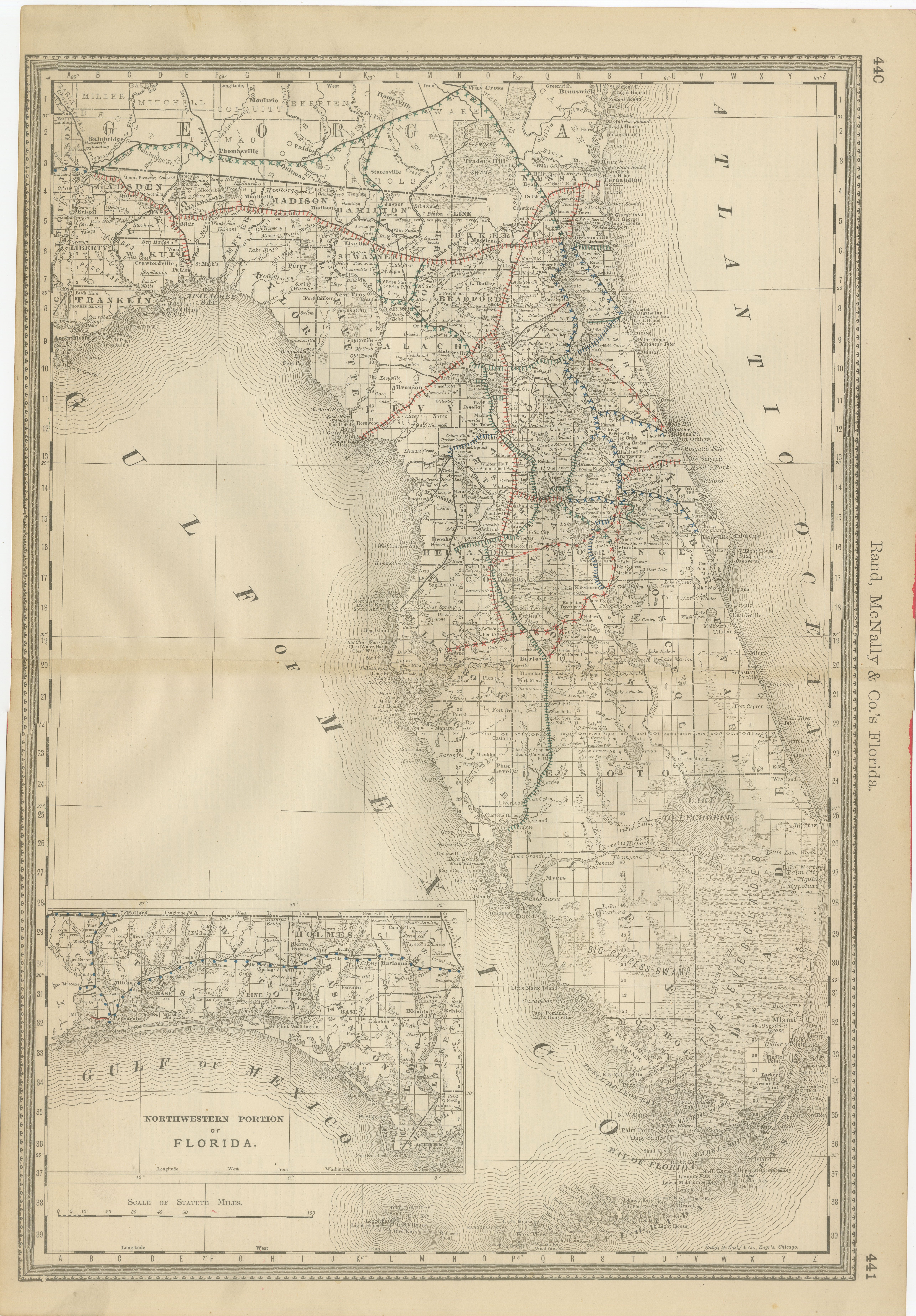
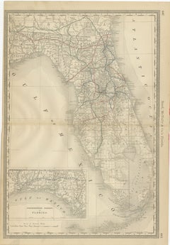
View AllFlorida 1888 Antique Map – Railroads, Settlements
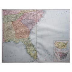
Gulf Coast Detail
Located in Langweer, NL
Florida Map 1888 – Rand McNally Antique Lithograph
This antique 1888 map of Florida, published by Rand, McNally & Co., presents a detailed view of the state in the late 19th century...
Category
Antique Late 19th Century American Maps
Materials
Paper
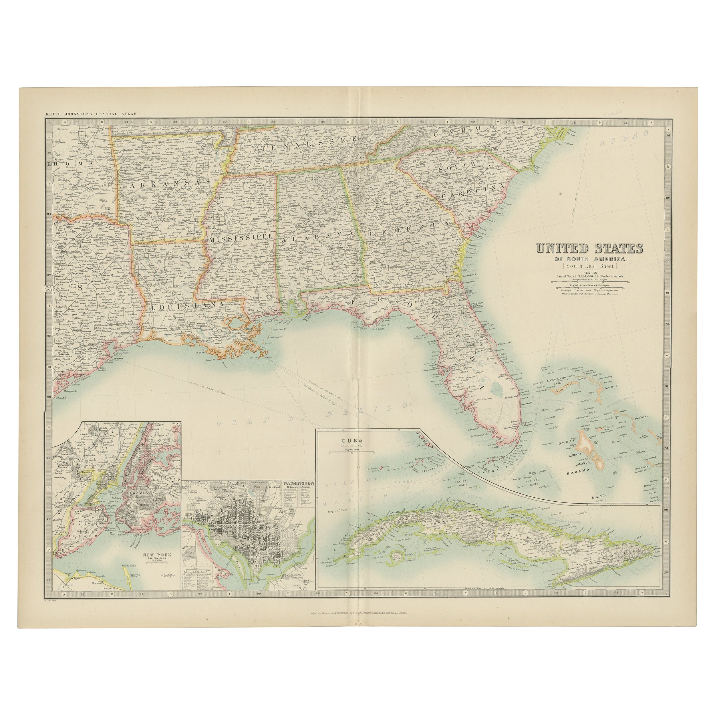
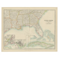
Antique Map of the United States
South East
by Johnston
1909
Located in Langweer, NL
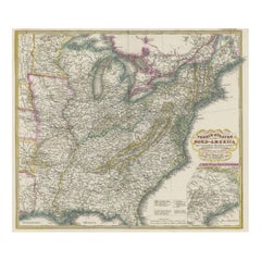
Antique map titled 'United States of North America'. Original antique map of United States of North America ( South East Sheet ). With in...
Category
Early 20th Century Maps
Materials
Paper
$332 Sale Price
20% Off
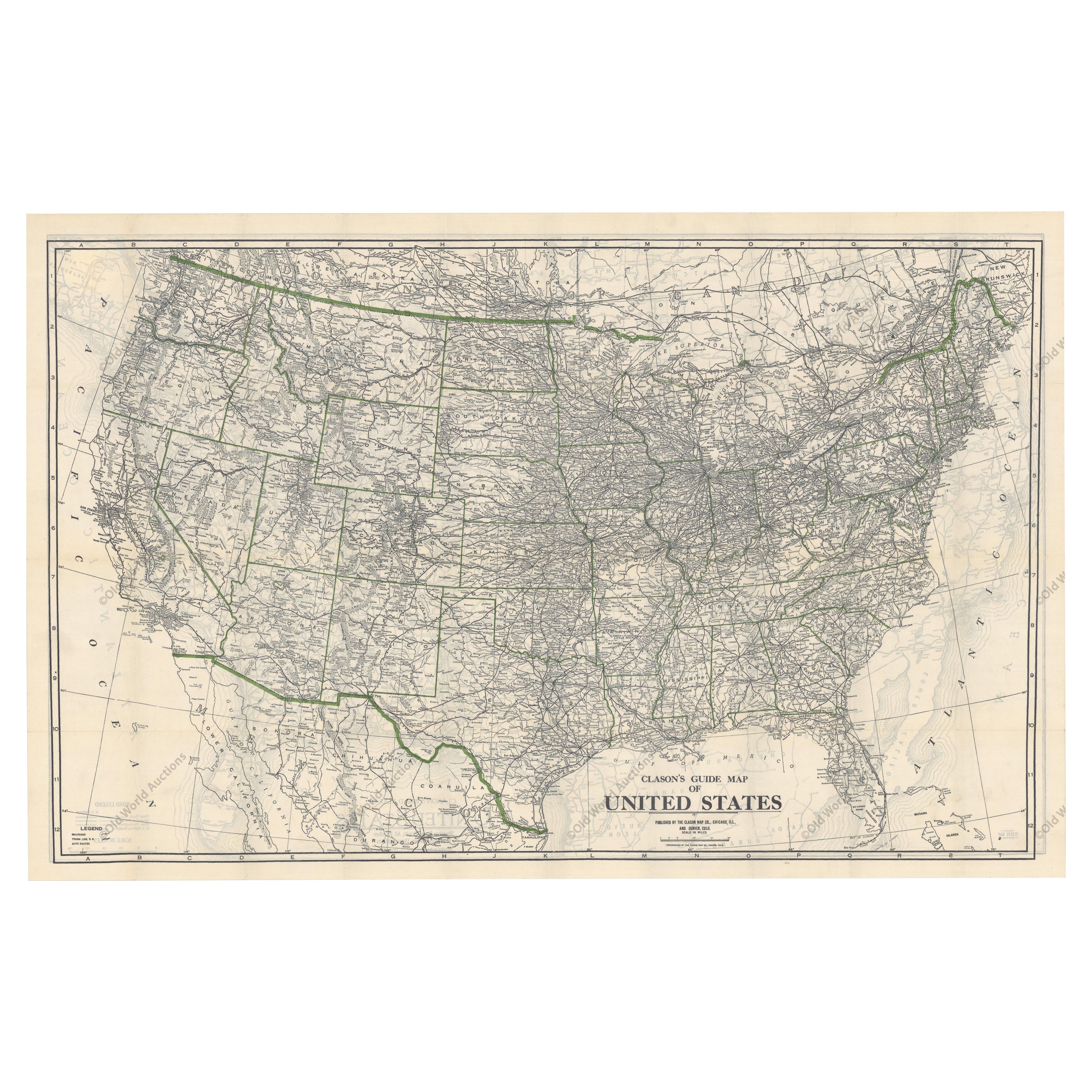
Old Map of the American Railroad Network and All Weather Roads on Verso, 1931
Located in Langweer, NL
This is the “New Census Edition” of Clason’s United States Green Guide. It features two large maps of the United States on a single sheet.
The recto map shows the complete road net...
Category
Vintage 1930s Maps
Materials
Paper

$427 Sale Price
20% Off
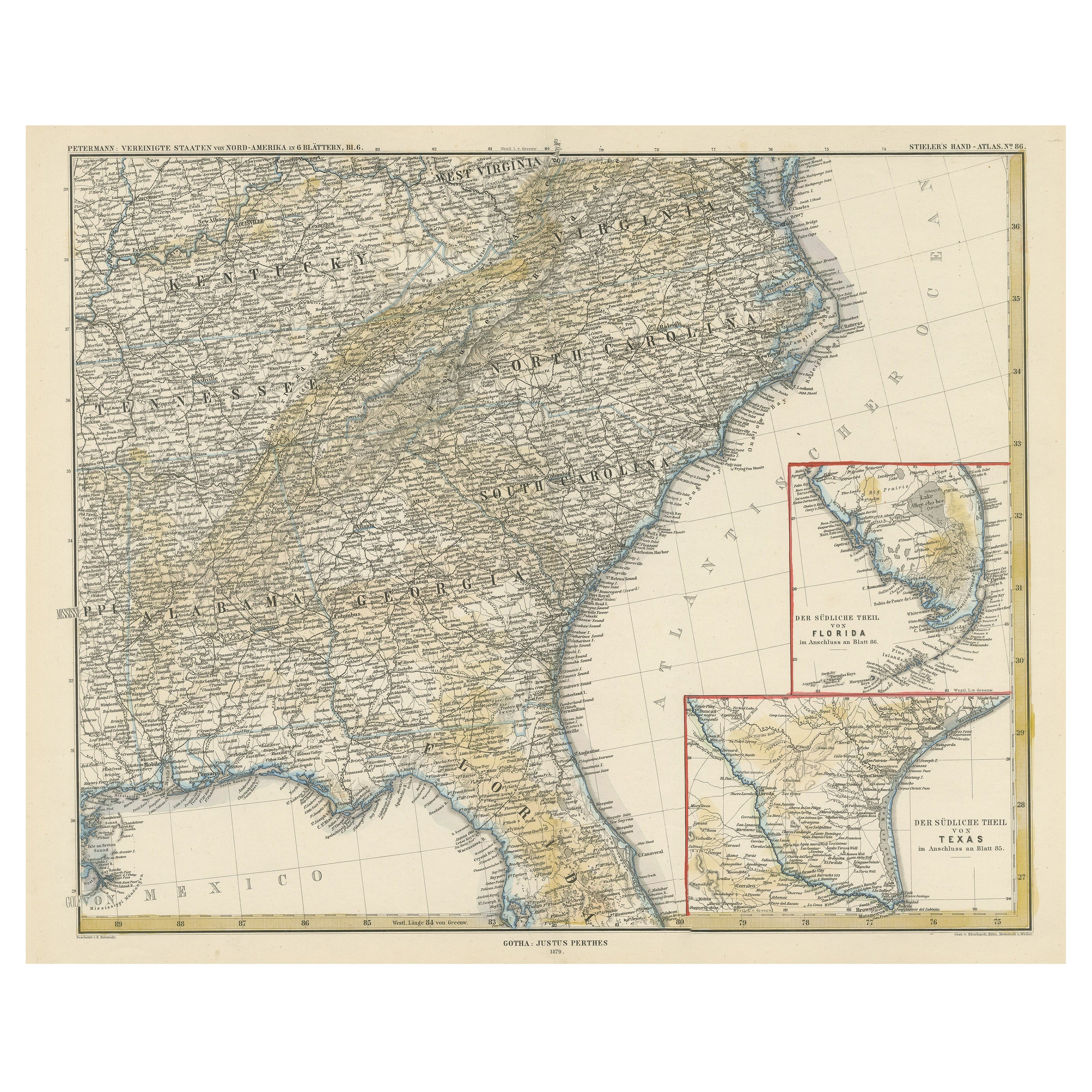
Antique Map of the Region of Georgia with Inset Maps of Florida and Texas
Located in Langweer, NL
Antique map of part of the United States showing Alabama, Georgia, North Carolina, South Carolina, Tennessee, Kentucky, Virginia and part of Florida. With inset maps of the southern ...
Category
Antique Late 19th Century Maps
Materials
Paper
$522 Sale Price
50% Off
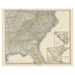
Antique Map of the Eastern United States with Only the Northern Part of Florida
Located in Langweer, NL
Antique map titled 'Verein-Staaten von Nord-America mit Ausnahme Florida's und der Westlichen Territorien'. This map extends as far west as Louisiana and only includes the northern p...
Category
Antique Mid-19th Century Maps
Materials
Paper
$778 Sale Price
20% Off
Antique Railroad Map of the United States by Rand, McNally
Co, 1900
Located in Langweer, NL
Antique map titled 'Rand, McNally & Co's New Official Railroad map of the United States with portions of The Dominion of Canada, The Republic of Mexico and the West Indies'. Large railroad map of the United States, sectionalised and laid on linen. Map shows state boundaries for the United States, Mexico, the West Indies, and lower portion of Canada; major cities and towns, military posts, Native American reservations, and railroads; Oklahoma and "Indian Territory." Inset: "Map of Alaska...
Category
20th Century Maps
Materials
Linen, Paper

$2,224 Sale Price
25% Off
Free Shipping
You May Also Like
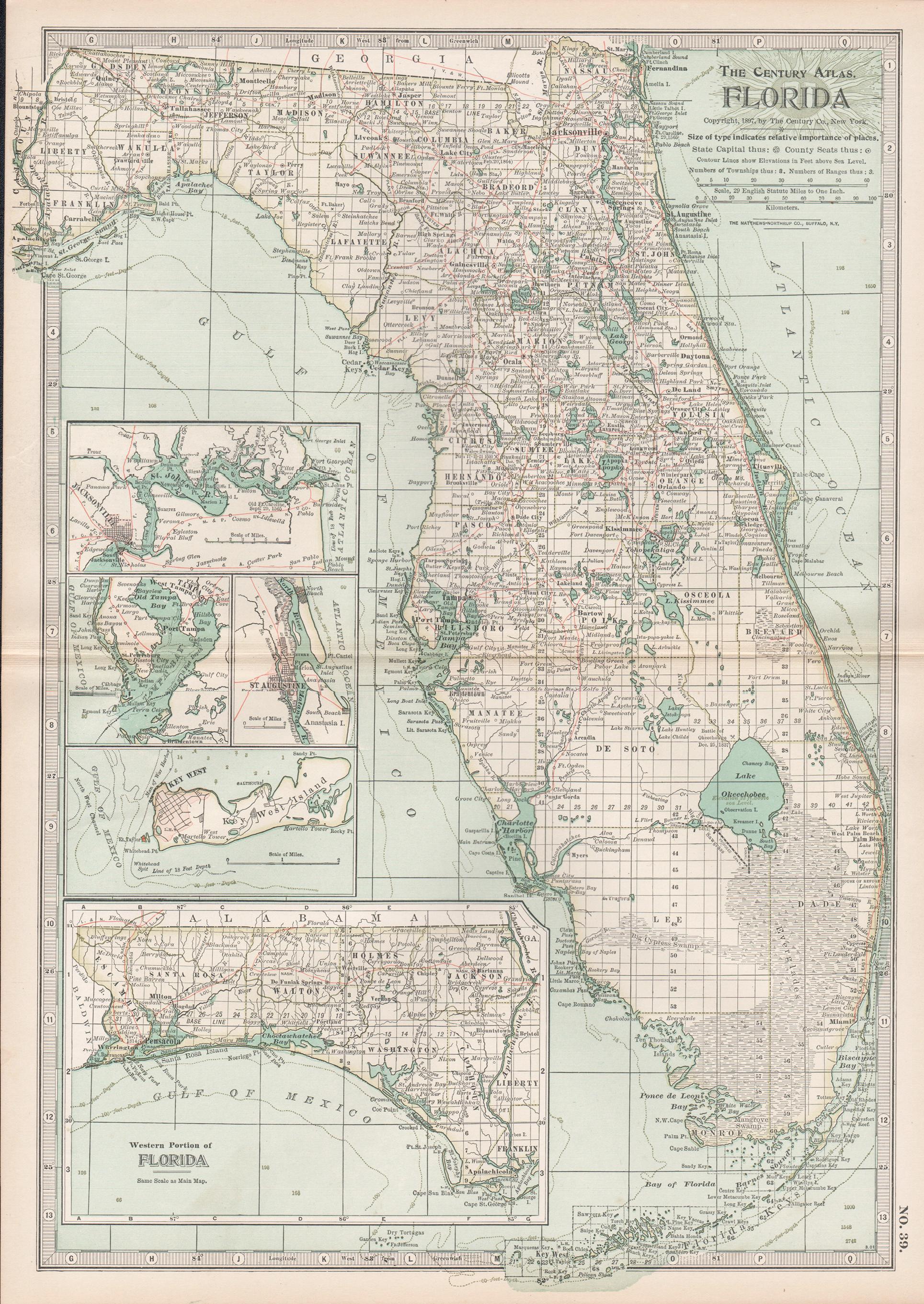
Florida. USA Century Atlas state antique vintage map
Located in Melbourne, Victoria
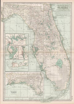
'The Century Atlas. Florida'
Original antique map, 1903.
Central fold as issued. Map name and number printed on the reverse corners.
Sheet 40cm by 29.5cm.
Category
Early 20th Century Victorian More Prints
Materials
Lithograph
Large Original Vintage Map of the South Eastern States Inc. Florida, circa 1920
Located in St Annes, Lancashire
Great map of The South Eastern States
Original color. Good condition
Published by Alexander Gross
Unframed.
Category
Vintage 1920s English Maps
Materials
Paper
Mid-Century Modern Florida Gulf Coast Map
Located in Queens, NY
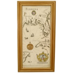
Mid-Century Modern (Italian) map print depicting 19th century Gulf Coast areas of Florida with crests and medallions in gold frames. (Companion piece: GRS118A)
Condition: Good; Wear...
Category
20th Century Italian Mid-Century Modern Paintings
Materials
Paper
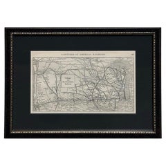
1919 "Chicago and Northwestern Railway" Map by P. F. Collier
Son
Located in Colorado Springs, CO
Presented is an antique Chicago and Northwestern Railway map from 1919. This small map is from The Gazetteer of American Railroads section of Collier’s New World Atlas and Gazetteer....
Category
Vintage 1910s American Art Deco Maps
Materials
Paper
1891 Map of Norfolk County Massachusetts
Located in Norwell, MA
1891 map of Norfolk county Massachusetts including the towns of Wrentham, Franklin, Medfield, Sherborn, Norwood etc., measures: 23 x 31.
Category
Antique 19th Century Maps

Original Antique Map of the American State of New York ( Southern Part ) 1903
Located in St Annes, Lancashire
Antique map of New York ( Southern Part )
Published By A & C Black. 1903
Original colour
Good condition
Unframed.
Free shipping
Category
Antique Early 1900s English Maps
Materials
Paper
