Items Similar to Antique Geological Survey Map of Surinam 1888 Hand Colored, Rare

Want more images or videos?
Request additional images or videos from the seller
1 of 11
Antique Geological Survey Map of Surinam 1888 Hand Colored, Rare
$777.82
£580.95
€650
CA$1,071.59
A$1,167.84
CHF 618.42
MX$14,026.99
NOK 7,829.36
SEK 7,198.32
DKK 4,951.88
About the Item
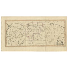
Antique Geological Survey Map of Surinam 1888 Hand Colored
This impressive hand-colored geological survey map of Surinam was published in 1888 as part of Karl Martin’s monumental scientific study of the Dutch West Indies. The map focuses on the river systems and geological structure of a large central section of Surinam, extending inland from the Atlantic coast near Paramaribo deep into the interior. It is one of the earliest detailed geological mappings of the Surinamese river regions and stands as a key document of Dutch colonial scientific exploration.
The map combines cartography with geology and elevation profiling. The winding river is traced in bold with surrounding tributaries carefully delineated, while color-coded geological formations indicate granite, porphyry, diabase, savannas, and coastal sediment zones. Along the lower margin, a continuous geological cross-section shows elevation and subsoil structure, offering a rare scientific visualization of Surinam’s interior terrain as understood in the late 19th century.
Published in Leiden and engraved by P.W.M. Trap, this map reflects the growing European academic interest in South American natural resources, mining potential, river navigation, and tropical geology during the height of colonial expansion. Maps of Surinam from this period are significantly scarcer than those of the Caribbean islands and are increasingly sought after by collectors focused on colonial South America, Dutch overseas history, and scientific cartography.
Visually, the map is understated yet powerful, with its long horizontal composition emphasizing the vastness of the Surinamese landscape. The restrained hand coloring in earthy reds, browns, greens, and yellows adds both scientific clarity and strong decorative appeal, making it highly suitable for both academic collections and refined interiors with a historical or exploration theme.
This is an outstanding example for collectors of:
– Surinam and Guiana cartography
– Dutch colonial exploration
– Geological and scientific mapping
– South American river systems
– 19th-century academic publishing
Condition report:
Good original condition. Original fold lines visible as issued. Light overall age toning present. Minor scattered foxing and light edge wear in the margins. No major tears or losses observed. Map remains clean, sharp, and very well preserved for its age.
Framing tips:
This wide-format map is ideally suited for a long horizontal frame in walnut, natural oak, or matte black with a wide warm-cream or light-grey passe-partout. A floating museum mount also works beautifully, emphasizing the original folds and full sheet proportions.
Technique: Hand-colored lithographic map
Maker: Karl Martin, Leiden, 1888
SEO keyword block:
Surinam antique map, Suriname geological map, Dutch colonial Surinam, 19th century Surinam map, Suriname river map, Karl Martin map, geological survey Surinam, South America colonial map, Paramaribo river map, Dutch West Indies Surinam, antique scientific map, hand colored Surinam map, Guiana colonial cartography
- Dimensions:Height: 15.36 in (39 cm)Width: 21.66 in (55 cm)Depth: 0.01 in (0.2 mm)
- Materials and Techniques:
- Place of Origin:
- Period:
- Date of Manufacture:1888
- Condition:Good original condition. Original fold lines visible as issued. Light overall age toning present. Minor scattered foxing and light edge wear in the margins. No major tears or losses observed. Map remains clean, sharp, and very well preserved.
- Seller Location:Langweer, NL
- Reference Number:Seller: BG-14171-61stDibs: LU3054347821692
About the Seller
5.0
Recognized Seller
These prestigious sellers are industry leaders and represent the highest echelon for item quality and design.
Platinum Seller
Premium sellers with a 4.7+ rating and 24-hour response times
Established in 2009
1stDibs seller since 2017
2,788 sales on 1stDibs
Typical response time: <1 hour
- ShippingRetrieving quote...Shipping from: Langweer, Netherlands
- Return Policy
More From This Seller
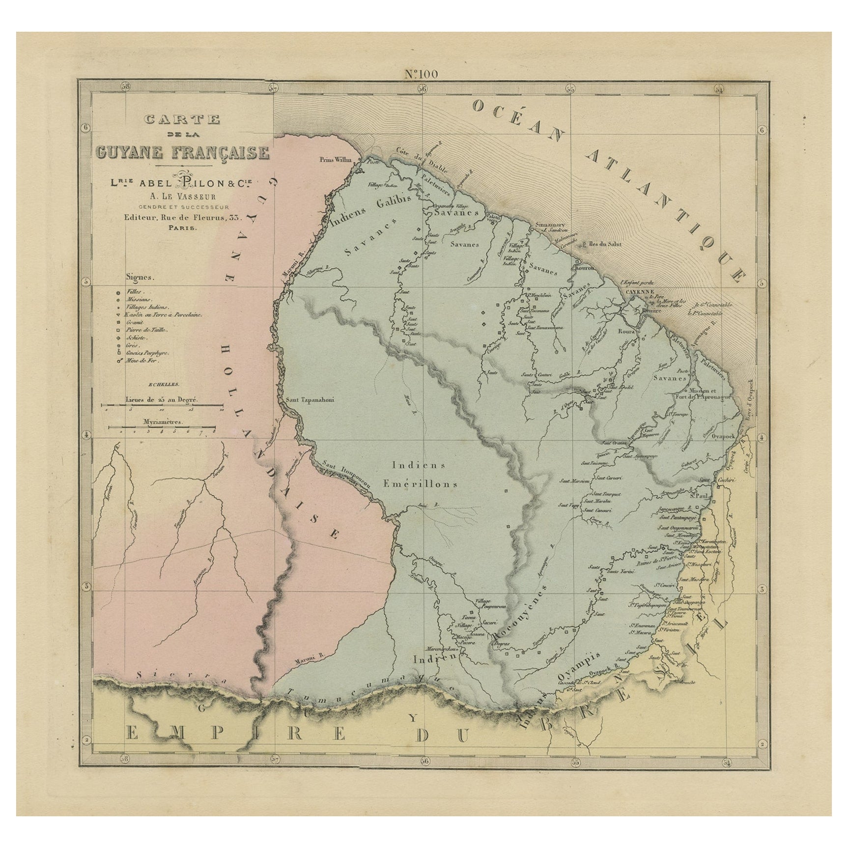
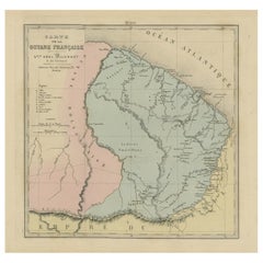
View AllAntique Engraved Map with Original Hand Colour of French Guiana, 1876
Located in Langweer, NL
The 1876 map of French Guiana from the "Grand Atlas Départemental de la France de L'Algérie et des colonies" by H. Fisquet, published by A. Le Vasseur in Paris, is a significant piec...
Category
Antique Late 19th Century Maps
Materials
Paper
$268 Sale Price
20% Off
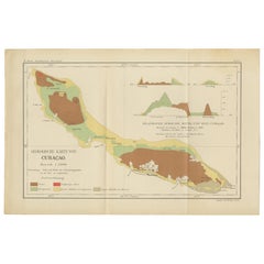
Antique Geological Map of Curaçao - Hand Colored Dutch Caribbean, 1888
Located in Langweer, NL
Geological Map of Curaçao 1888 Dutch West Indies by Karl Martin
This exceptionally detailed geological map of Curaçao was published in 1888 as part of Karl Martin’s landmark scienti...
Category
Antique 1880s German Maps
Materials
Paper
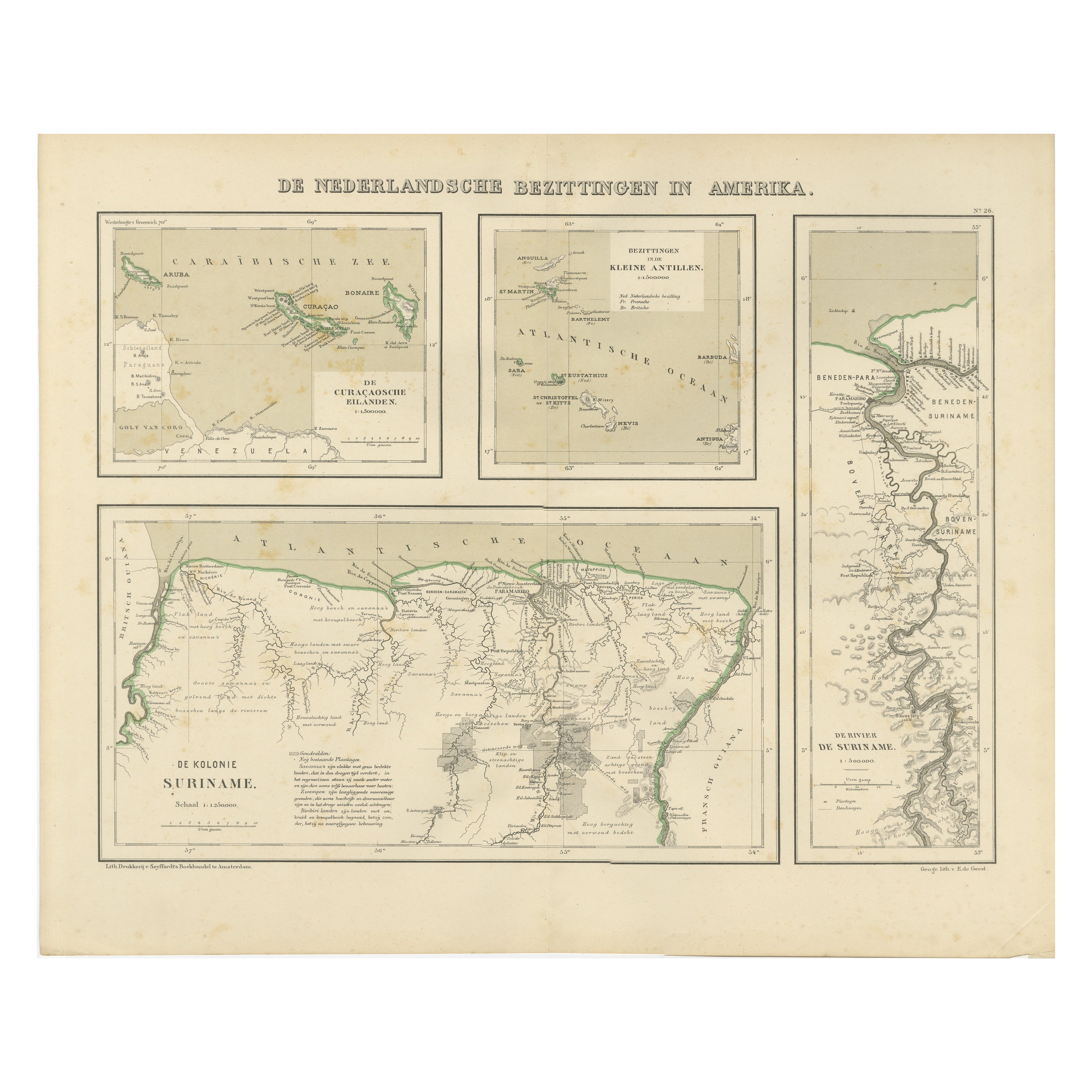
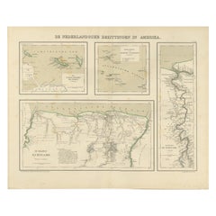
Antique Map of Dutch Colonies in the Caribbean
Suriname by Dornseiffen, 1884
Located in Langweer, NL
Antique Map of Dutch Colonies in the Caribbean & Suriname - Dornseiffen 1884
This rare and historically important antique map depicts the Dutc...
Category
Antique 1880s Dutch Maps
Materials
Paper
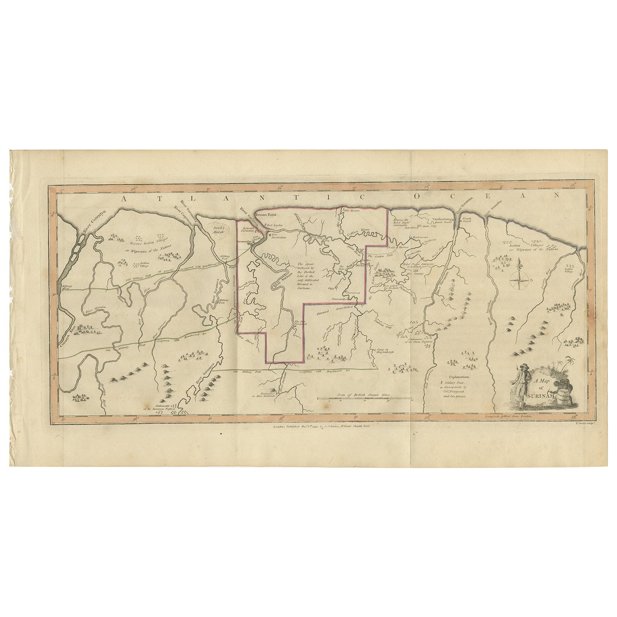
Antique Map of Surinam by Stedman
1813
Located in Langweer, NL
Antique map titled 'A Map of Surinam'. Original antique map of Surinam, showing Dutch settlements, military posts, rebel Maroon camps and native villages. This map originates from 'N...
Category
Antique Early 19th Century Maps
Materials
Paper
$478 Sale Price
20% Off
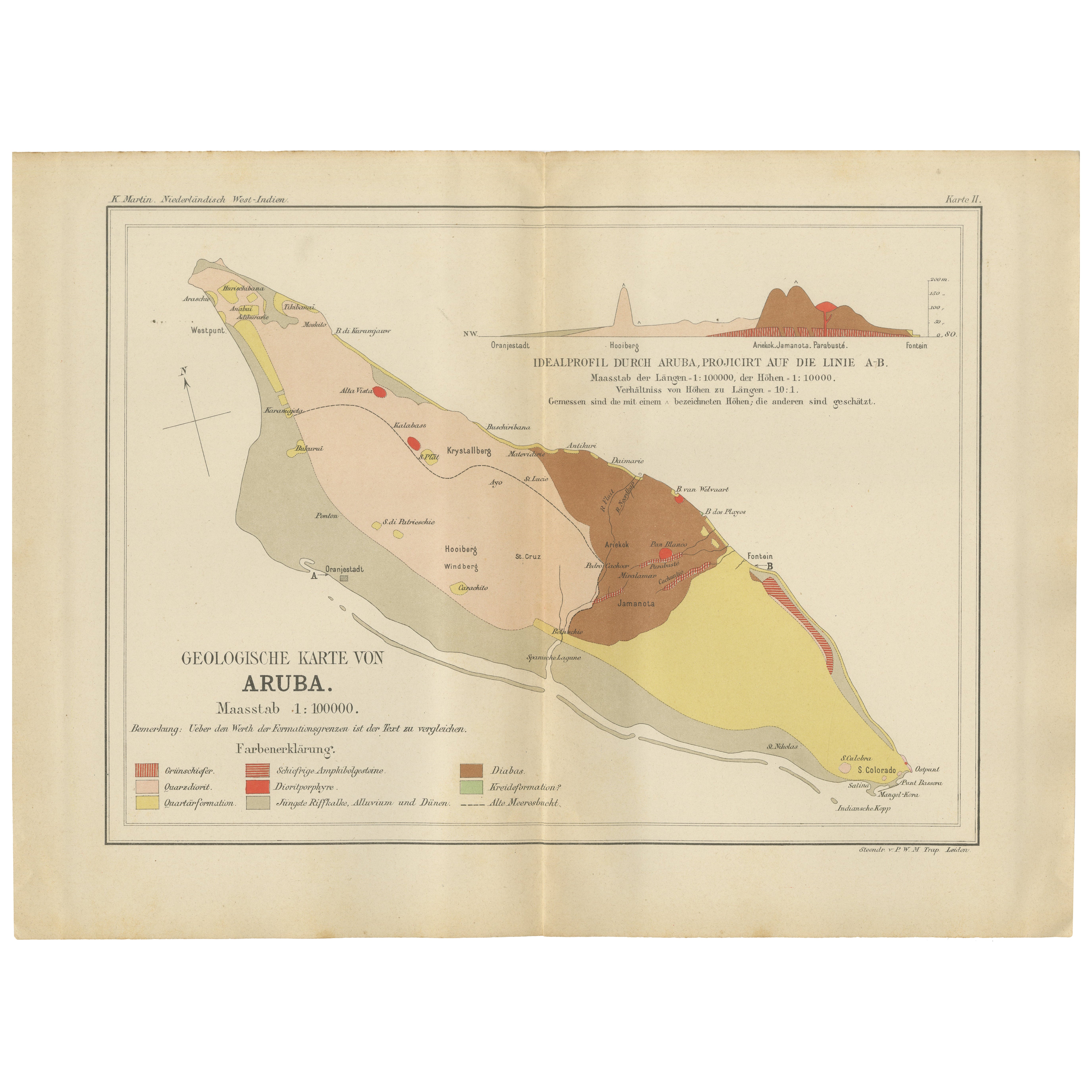
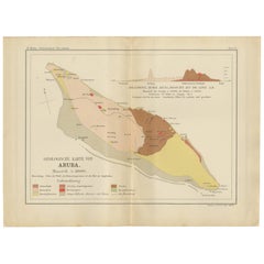
Antique Geological Map of Aruba - Dutch West Indies by Karl Martin, 1888
Located in Langweer, NL
Geological Map of Aruba 1888 Dutch West Indies by Karl Martin
This finely detailed geological map of Aruba was published in 1888 as part of Karl Martin’s authoritative scientific st...
Category
Antique 1880s German Maps
Materials
Paper
Antique Map of Riouw, Lingga Archipelago, Singapore, Banda by Dornseiffen - 1884
Located in Langweer, NL
Antique Map of Riouw, Lingga Archipelago, Singapore, Dornseiffen - 1884
This finely detailed antique map depicts the Riouw–Lingga Archipelago (Riau–Lingga), including Batam, Bintan,...
Category
Antique 1880s Dutch Maps
Materials
Paper
You May Also Like
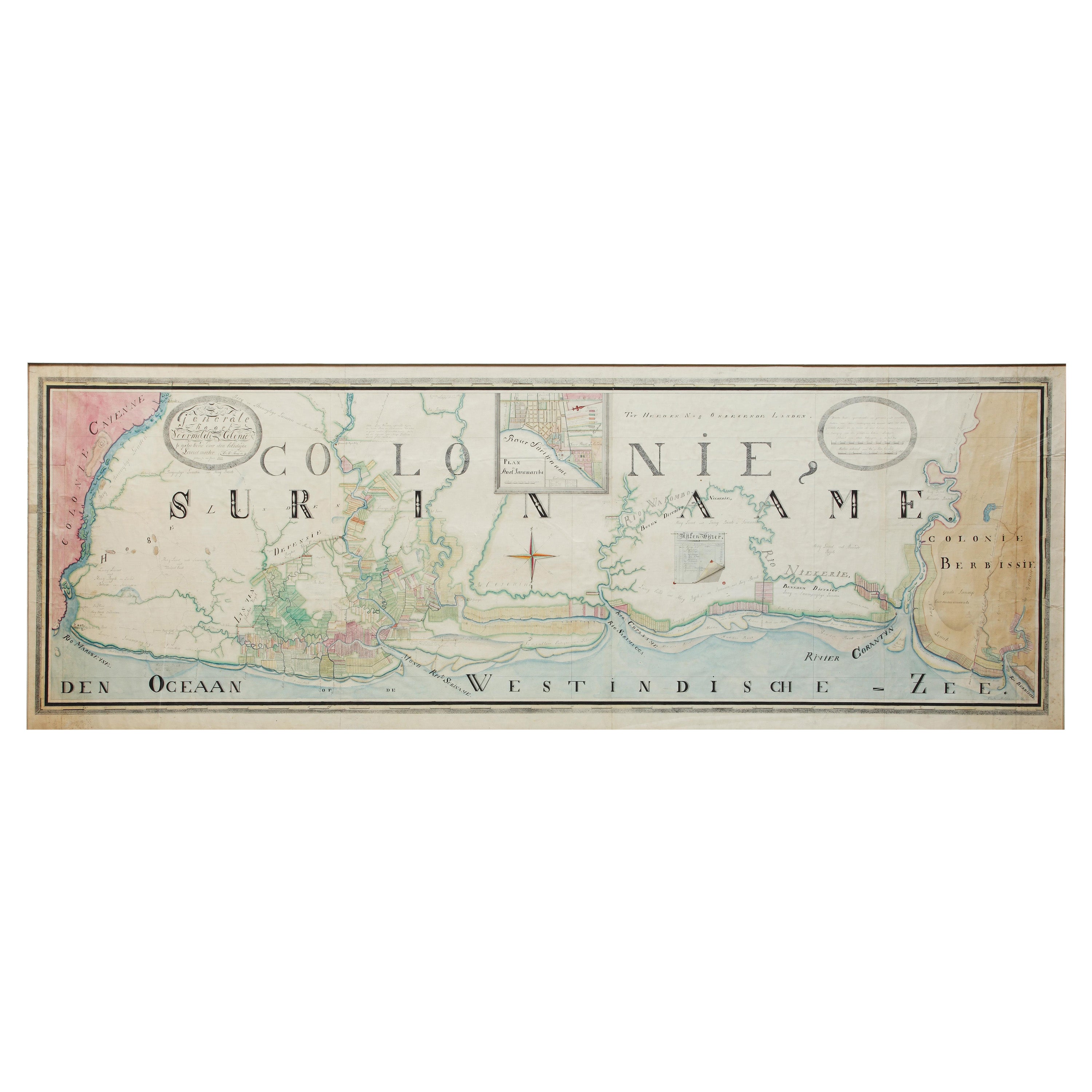
Extremely Large Hand-Drawn Manuscript Map of Surinam, 1830, History of Slavery
Located in Amsterdam, NL
A unique large hand-drawn map of Surinam by Albrecht Helmut Hiemcke (German, 1760-1839)
?
'Colonie Surinaame', 1830
A large hand-drawn and coloured map of the colony of Suri...
Category
Antique Mid-19th Century Surinamer Maps
Materials
Paper

Ancient Map of Guyane - Original Etching - 19th Century
Located in Roma, IT
Map of Guyane is an original etching realized by an anonymous engraver of the 19th Century.
Belongs to the Series of "France Pittoresque" at the top center.
The state of preservati...
Category
19th Century Modern Figurative Prints
Materials
Etching
Original Antique Map of Central America / Florida, Arrowsmith, 1820
Located in St Annes, Lancashire
Great map of Central America.
Drawn under the direction of Arrowsmith.
Copper-plate engraving.
Published by Longman, Hurst, Rees, Orme and Brown, 1820
Unframed.
Category
Antique 1820s English Maps
Materials
Paper

Large Original Antique Map of Java and Borneo, Fullarton, C.1870
Located in St Annes, Lancashire
Great map of Java and Borneo
Wonderful figurative borders
From the celebrated Royal Illustrated Atlas
Lithograph. Original color.
Published by Fullarton, Edinburgh. C.1870
Unfr...
Category
Antique 1870s Scottish Maps
Materials
Paper

South America, Eastern Part. Century Atlas antique vintage map
Located in Melbourne, Victoria
'The Century Atlas. South America. Eastern Part'
Original antique map, 1903.
Inset map 'Rio de Janeiro and Vicinity'.
Central fold as issued. Map name and number printed on the rev...
Category
Early 20th Century Victorian More Prints
Materials
Lithograph

Large Original Antique Map of The Leeward Islands. 1894
Located in St Annes, Lancashire
Superb Antique map of The Leeward Islands
Published Edward Stanford, Charing Cross, London 1894
Original colour
Good condition
Unframed.
Free shipping
Category
Antique 1890s English Maps
Materials
Paper
