Items Similar to Antique Map of Arkansas from Encyclopaedia Britannica, 1875

Want more images or videos?
Request additional images or videos from the seller
1 of 10
Antique Map of Arkansas from Encyclopaedia Britannica, 1875
$344.10
£256.89
€290
CA$478.06
A$514.22
CHF 274.82
MX$6,061.22
NOK 3,464.78
SEK 3,167.47
DKK 2,210.13
About the Item
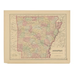
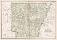
Antique Map of Arkansas from Encyclopaedia Britannica, 1875
Description:
Original antique map of the U.S. state of Arkansas, published in 1875 for the Ninth Edition of the Encyclopaedia Britannica. This finely detailed map presents the state divided into counties, each highlighted in contrasting hand-applied color wash for clarity. Railroads, rivers, towns, and county seats are all carefully engraved, offering a precise geographical record of Arkansas in the late 19th century.
The map situates Arkansas in relation to its neighbors — Missouri to the north, Tennessee and Mississippi to the east, Louisiana to the south, and Texas to the west. Notable geographical features such as the Arkansas River, White River, and Ouachita Mountains are depicted, providing historical context for the state’s transportation routes, settlements, and economic development.
As part of the *Encyclopaedia Britannica*, these maps were designed to combine scholarly accuracy with visual appeal. They reflect a period when cartographic publishing was flourishing in both Europe and America, offering accessible yet detailed geographical knowledge to a wide readership.
This Arkansas map stands as both a decorative item and a valuable historical document, illustrating the administrative and transport infrastructure of the state just a decade after the American Civil War, when population growth and industrial development were transforming the South.
Condition report:
Very good condition. Minor toning to margins consistent with age, light handling marks. Original hand coloring remains clear and vibrant. Blank verso. Please study the images carefully.
Framing tips:
A classic black or walnut frame will enhance the strong boundary lines of the counties, while a cream or ivory mount will brighten the pastel tones. For a more academic or library-style presentation, consider a dark green mat with gilt-lined frame, emphasizing the historic character of the piece.
Technique: Lithograph with original hand coloring
Maker: Encyclopaedia Britannica, Ninth Edition, Edinburgh, 1875
The Encyclopædia Britannica has been published continuously since 1768, appearing in fifteen official editions. Several editions have been amended with multi-volume "supplements" (3rd, 5th/6th), consisted of previous editions with added supplements (10th, and 12th/13th) or gone drastic re-organizations (15th). In recent years, digital versions of the Britannica have been developed, both online and on optical media. Since the early 1930s, the Britannica has developed several "spin-off" products to leverage its reputation as a reliable reference work and educational tool. The Encyclopedia as known up to 2012 was incurring unsustainable losses and the print editions were ended, but it continues on the Internet.
- Dimensions:Height: 8.27 in (21 cm)Width: 10.63 in (27 cm)Depth: 0.02 in (0.5 mm)
- Materials and Techniques:
- Place of Origin:
- Period:
- Date of Manufacture:1875
- Condition:Wear consistent with age and use. Very good condition. Minor toning to margins consistent with age, light handling marks. Original hand coloring remains clear and vibrant. Blank verso. Please study the images carefully.
- Seller Location:Langweer, NL
- Reference Number:Seller: BG-13321-61stDibs: LU3054331250482
About the Seller
5.0
Recognized Seller
These prestigious sellers are industry leaders and represent the highest echelon for item quality and design.
Platinum Seller
Premium sellers with a 4.7+ rating and 24-hour response times
Established in 2009
1stDibs seller since 2017
2,836 sales on 1stDibs
Typical response time: 1 hour
- ShippingRetrieving quote...Shipping from: Langweer, Netherlands
- Return Policy
More From This Seller
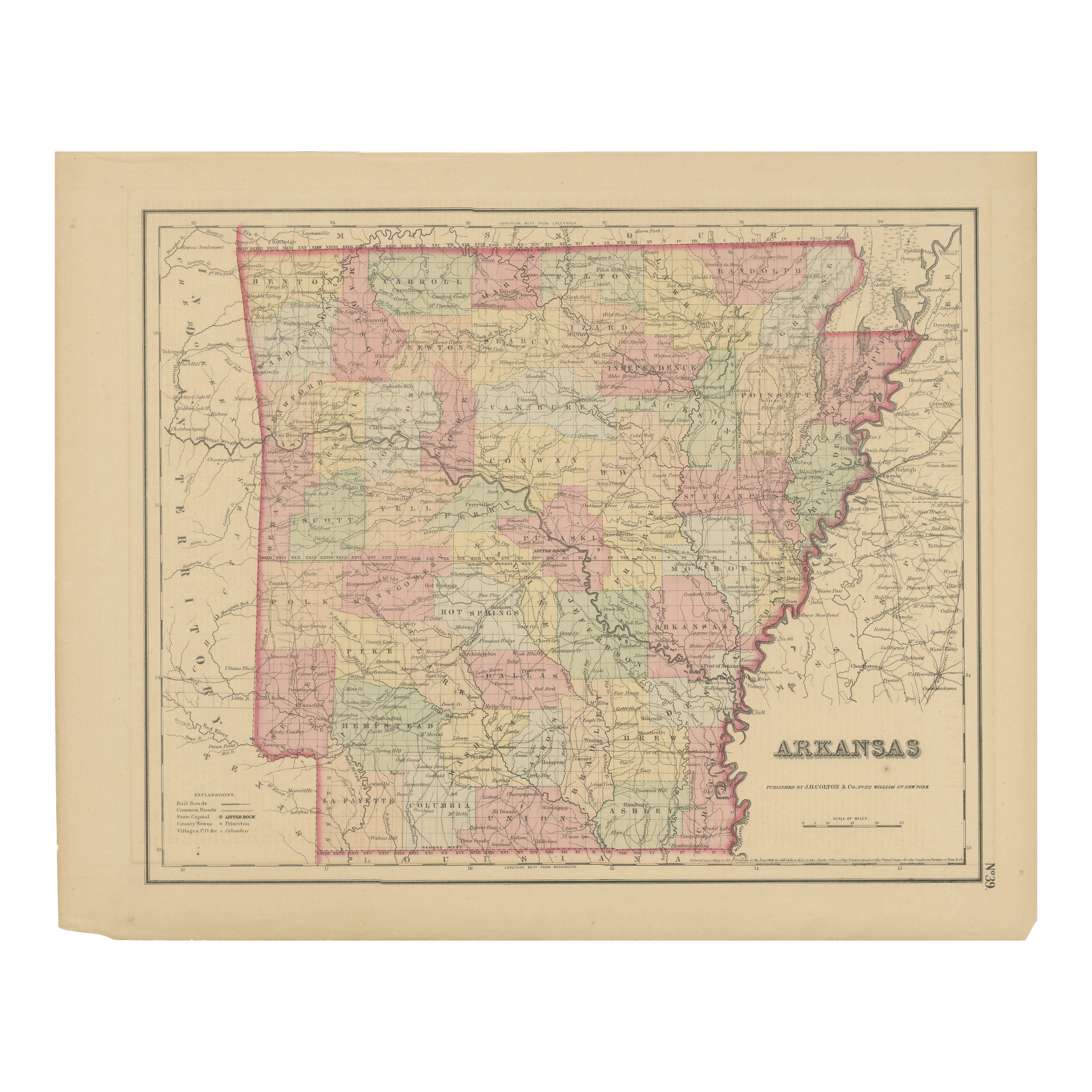
View AllArkansas Map by Colton, USA Published c.1864 – Hand-Colored County Map
Located in Langweer, NL
Arkansas Map by Colton, USA Published c.1864 – Hand-Colored County Map
This is a finely engraved and hand-colored map titled Arkansas, published by G.W. & C.B. Colton & Co. in New Y...
Category
Antique Mid-19th Century American Maps
Materials
Paper
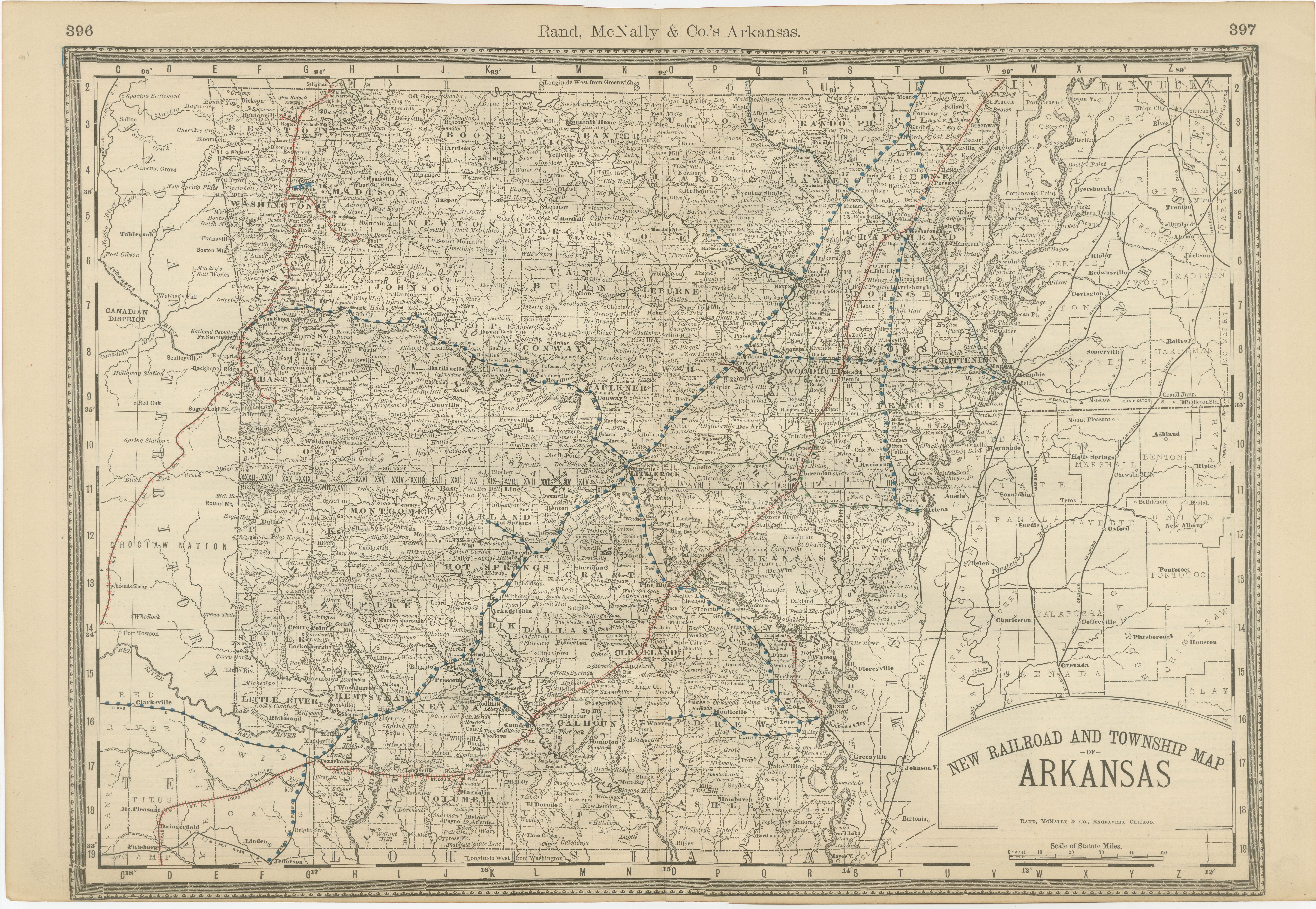
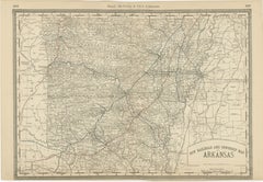
Antique Map of Arkansas 1888 – The Natural State, Railroads
Cities
Located in Langweer, NL
Arkansas Map 1888 – Rand McNally Antique Lithograph
This antique 1888 map of Arkansas, published by Rand, McNally & Co., provides a detailed portrayal of the state during the late 1...
Category
Antique Late 19th Century American Maps
Materials
Paper
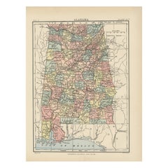
Antique Map of Alabama
Located in Langweer, NL
Antique map titled 'Alabama'. Original antique map of Alabama, United States. This print originates from 'Encyclopaedia Britannica', Ninth Editi...
Category
Antique Late 19th Century Maps
Materials
Paper
$275 Sale Price
20% Off
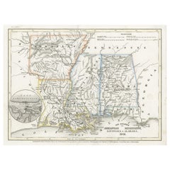
Antique Map of the Southern United States with Inset Map of New Orleans
Located in Langweer, NL
Antique map titled 'Die Staaten von Arkansas Mississippi, Louisiana & Alabama'. Detailed map of the region, which includes the Florida Panhandle. Shows many roads, rivers, forts, etc...
Category
Antique Mid-19th Century Maps
Materials
Paper
$132 Sale Price
20% Off
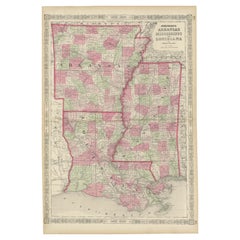
Antique Map of Arkansas, Mississippi and Louisiana by Johnson, 1872
Located in Langweer, NL
Antique map titled 'Johnson's Arkansas (..)'. Original map of Arkansas, Mississippi and Louisiana. This map originates from 'Johnson's New Illustrated ...
Category
Antique Late 19th Century Maps
Materials
Paper

$237 Sale Price
20% Off
Rare 1864 Civil War Era Map of Arkansas, Mississippi, and Louisiana
Located in Langweer, NL
Title: Rare 1864 Civil War Era Map of Arkansas, Mississippi, and Louisiana
Description: This captivating antique map, titled "Johnson's Arkansas, Mississippi, and Louisiana," was pu...
Category
Antique 1860s Maps
Materials
Paper
You May Also Like
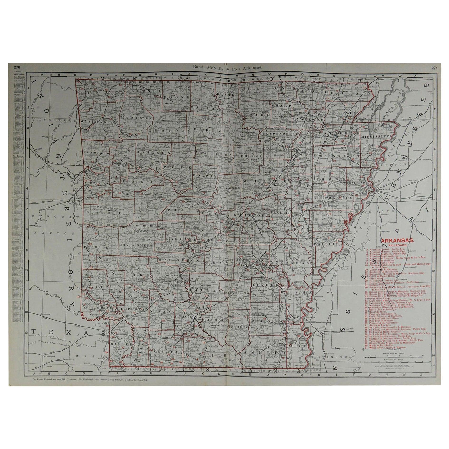
Large Original Antique Map of Arkansas by Rand McNally, circa 1900
By Rand McNally
Co.
Located in St Annes, Lancashire
Fabulous monochrome map with red outline color
Original color
By Rand, McNally & Co.
Published, circa 1900
Unframed
Minor edge tears.
Category
Antique Early 1900s American Edwardian Maps
Materials
Paper

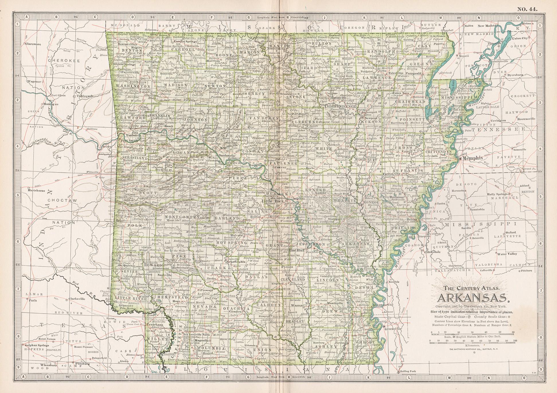
Arkansas. USA. Century Atlas state antique vintage map
Located in Melbourne, Victoria
'The Century Atlas. Arkansas.'
Original antique map, 1903.
Central fold as issued. Map name and number printed on the reverse corners.
Sheet 29.5cm by 40cm.
Category
Early 20th Century Victorian More Prints
Materials
Lithograph
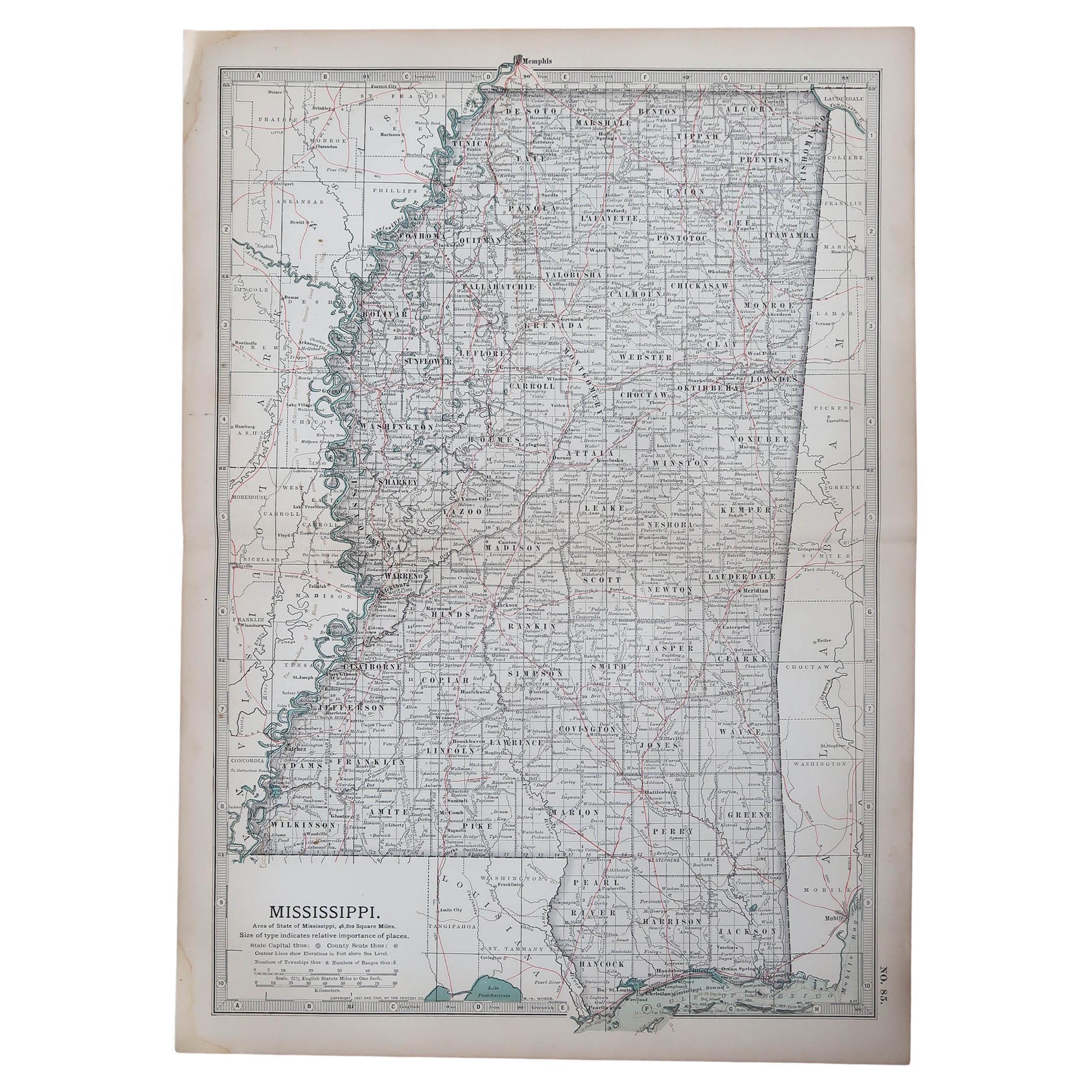
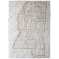
Original Antique Map of the American State of Mississippi, 1903
Located in St Annes, Lancashire
Antique map of Mississippi
Published By A & C Black. 1903
Original colour
Good condition
Unframed.
Free shipping
Category
Antique Early 1900s English Maps
Materials
Paper

Large Original Antique Map of Mississippi, USA, 1894
By Rand McNally
Co.
Located in St Annes, Lancashire
Fabulous map of Mississippi
Original color
By Rand, McNally & Co.
Published, 1894
Unframed
Free shipping.
Category
Antique 1890s American Maps
Materials
Paper
Original Antique Map of the American State of Tennessee, 1903
Located in St Annes, Lancashire
Antique map of Tennessee
Published By A & C Black. 1903
Original colour
Good condition
Unframed.
Free shipping
Category
Antique Early 1900s English Maps
Materials
Paper

Original Antique Map of the American State of Alabama, 1903
Located in St Annes, Lancashire
Antique map of Alabama
Published By A & C Black. 1903
Original colour
Good condition
Unframed.
Free shipping
Category
Antique Early 1900s English Maps
Materials
Paper
