Items Similar to Antique Map of Asia by V. Levasseur, 1854


Want more images or videos?
Request additional images or videos from the seller
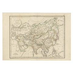
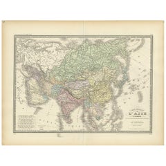
1 of 9
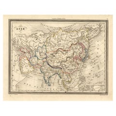
Antique Map of Asia by V. Levasseur, 1854
$247.71
$330.2725% Off
£183.49
£244.6525% Off
€206.25
€27525% Off
CA$338.92
CA$451.9025% Off
A$368.77
A$491.7025% Off
CHF 195.26
CHF 260.3525% Off
MX$4,436.61
MX$5,915.4825% Off
NOK 2,479.39
NOK 3,305.8525% Off
SEK 2,268.47
SEK 3,024.6225% Off
DKK 1,571.79
DKK 2,095.7325% Off
About the Item
Antique map titled 'Asie'. Map of the main Asian continent. The decorated border shows various images, as well as two blocks of statistical text on the continent, including population figures. This map originates from ‘Atlas National de la France Illustré’. Published by A. Combette, Paris, 1854.
- Creator:Victor Levasseur (Artist)
- Dimensions:Height: 13.98 in (35.5 cm)Width: 20.67 in (52.5 cm)Depth: 0.02 in (0.5 mm)
- Materials and Techniques:
- Place of Origin:
- Period:
- Date of Manufacture:1854
- Condition:General age-related toning. Please study image carefully.
- Seller Location:Langweer, NL
- Reference Number:Seller: BG-05614/21stDibs: LU3054310738963
Victor Levasseur
Victor Jules Levasseur (1795–1862) was a French cartographer widely known for his distinctive decorative style. He produced numerous maps more admired for the artistic content of the scenes and data surrounding the map than for the detail of the map. Victor Levasseur was born in 1795 in France. Little is known about his early life and education, but he emerged as one of the most prominent French cartographers of the 19th century. Levasseur lived during a time of significant political and geographical changes in France and Europe, which greatly influenced his work as a mapmaker.
About the Seller
5.0
Recognized Seller
These prestigious sellers are industry leaders and represent the highest echelon for item quality and design.
Platinum Seller
Premium sellers with a 4.7+ rating and 24-hour response times
Established in 2009
1stDibs seller since 2017
2,816 sales on 1stDibs
Typical response time: 1 hour
- ShippingRetrieving quote...Shipping from: Langweer, Netherlands
- Return Policy
More From This Seller
View AllAntique Map of Asia by Lapie, 1842
Located in Langweer, NL
Antique map titled 'Carte de l'Asie'. Map of Asia. This map originates from 'Atlas universel de géographie ancienne et moderne (..)' by Pierre M. Lapie and...
Category
Antique Mid-19th Century French Maps
Materials
Paper

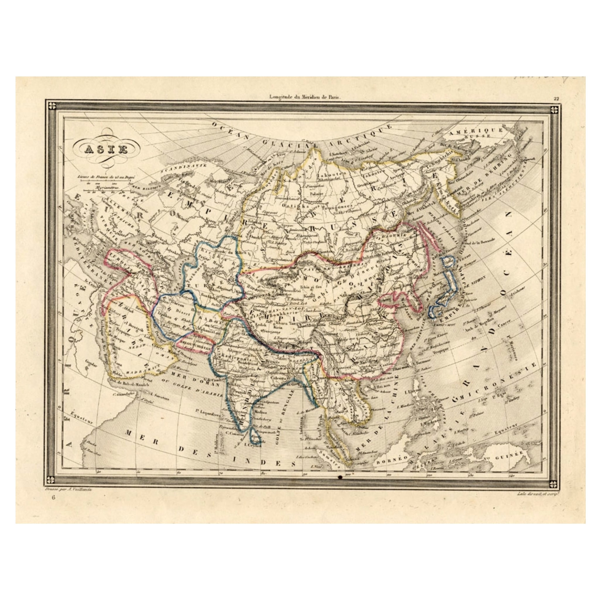
Antique Map of Asia, 1846
Located in Langweer, NL
Antique map titled 'Asie'. Original antique map of Asia. Source unknown, to be determined.
Artists and Engravers: Alexandre Vuillemin (1812-188...
Category
Antique 19th Century Maps
Materials
Paper
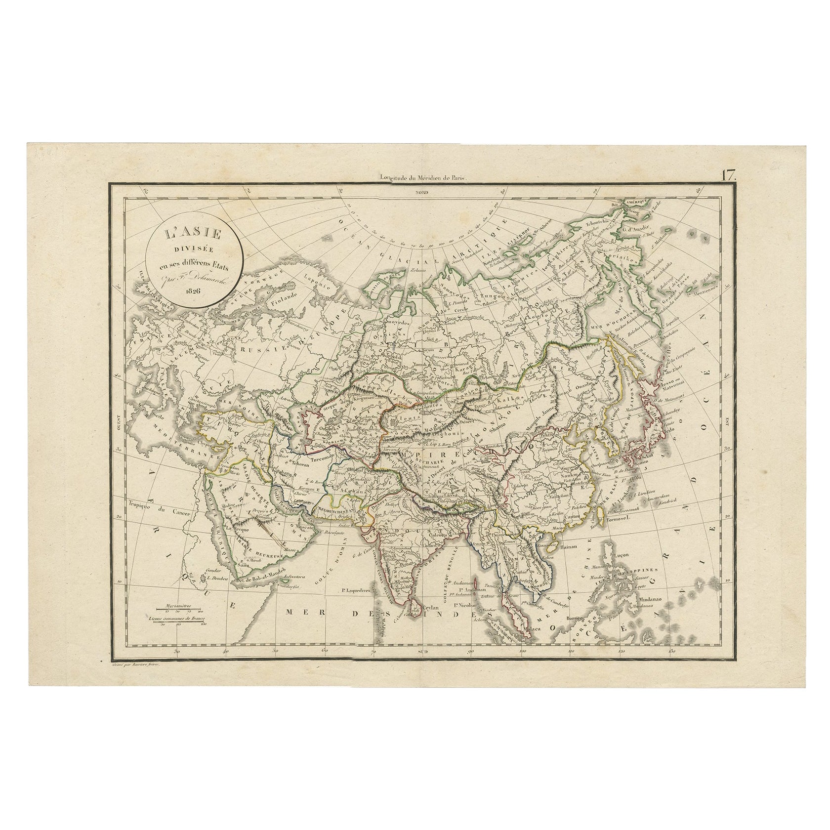
Antique Map of Asia by Delamarche, 1826
Located in Langweer, NL
Vaugondy's map plates and copyrights and later addes many plates from other sources as well. Charles Delamarche eventually passed control of the firm to his son Felix Delamarche (18t...
Category
Antique 19th Century Maps
Materials
Paper
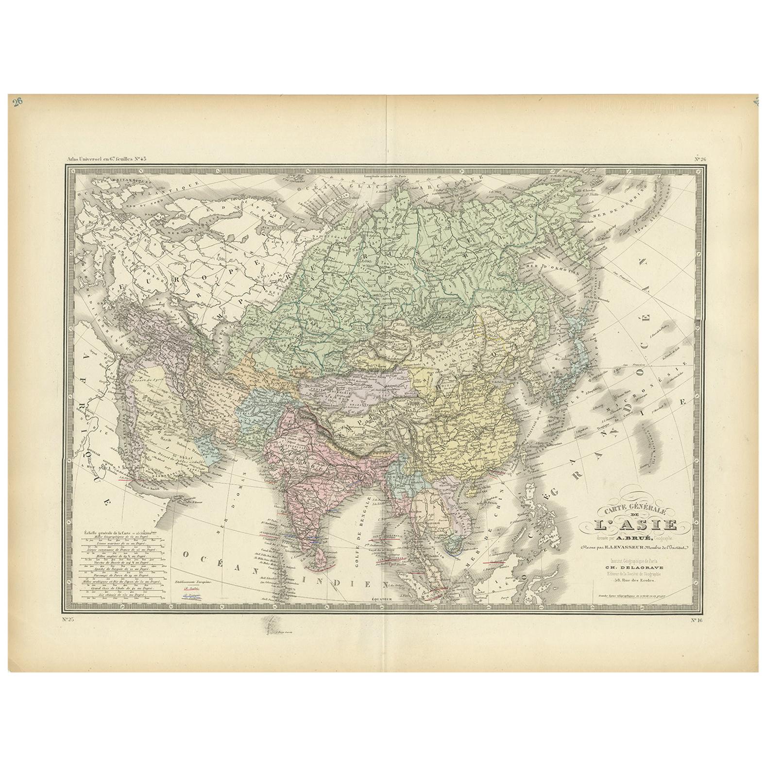
Antique Map of the Asian Continent by Levasseur,
1875
Located in Langweer, NL
Antique map titled 'Carte générale de l'Asie'. Large map of the Asian Continent. This map originates from 'Atlas de Géographie Moderne Physique et Politique' by A. Levasseur. Publish...
Category
Antique Late 19th Century Maps
Materials
Paper
$420 Sale Price
30% Off
Antique Map of Asia by Johnson, 1872
Located in Langweer, NL
Antique map titled 'Johnson's Asia'. Original map of Asia. This map originates from 'Johnson's New Illustrated Family Atlas of the World' by A.J. Johnson. Published, 1872.
Category
Antique Late 19th Century Maps
Materials
Paper

$336 Sale Price
20% Off
Antique Map of Asia by Wyld
1845
Located in Langweer, NL
Antique map titled 'Asia'. Original antique map of Asia. This map originates from 'An Atlas of the World, Comprehending Separate Maps of its Variou...
Category
Antique Mid-19th Century Maps
Materials
Paper

$192 Sale Price
20% Off
You May Also Like
Antique 1803 Italian Map of Asia Including China Indoneseia India
Located in Amsterdam, Noord Holland
Antique 1803 Italian Map of Asia Including China Indoneseia India
Very nice map of Asia. 1803.
Additional information:
Type: Map
Country of Manufacturing: Europe
Period: 19th centu...
Category
Antique 19th Century European Maps
Materials
Paper

$438 Sale Price
39% Off
Original Antique Map of China, Arrowsmith, 1820
Located in St Annes, Lancashire
Great map of China
Drawn under the direction of Arrowsmith
Copper-plate engraving
Published by Longman, Hurst, Rees, Orme and Brown, 1820
Unfr...
Category
Antique 1820s English Maps
Materials
Paper

Large Original Antique Map of Asia by Sidney Hall, 1847
Located in St Annes, Lancashire
Great map of Asia
Drawn and engraved by Sidney Hall
Steel engraving
Original colour outline
Published by A & C Black. 1847
Unframed
Free shipping
Category
Antique 1840s Scottish Maps
Materials
Paper

Antique French Map of Asia Including China Indoneseia India, 1783
Located in Amsterdam, Noord Holland
Very nice map of Asia. 1783 Dedie au Roy.
Additional information:
Country of Manufacturing: Europe
Period: 18th century Qing (1661 - 1912)
Condition: Overall Condition B (Good Used)...
Category
Antique 18th Century European Maps
Materials
Paper

$486 Sale Price
40% Off
Super Rare Antique French Map of Chine and the Chinese Empire, 1780
Located in Amsterdam, Noord Holland
Super Rare Antique French Map of Chine and the Chinese Empire, 1780
Very nice map of Asia. 1780 Made by Bonne.
Additional information:
Type: Map
...
Category
Antique 18th Century European Maps
Materials
Paper

$438 Sale Price
49% Off
Original Antique Map of The Eastern Hemisphere by Dower, circa 1835
Located in St Annes, Lancashire
Nice map of the Eastern Hemisphere
Drawn and engraved by J.Dower
Published by Orr & Smith. C.1835
Unframed.
Free shipping
Category
Antique 1830s English Maps
Materials
Paper

More Ways To Browse
Antique World Maps
Map Of Europe
Antique Maps Of Holland
Compass Rose Antique
Antique Furniture Portugal
Antique Maps Of Europe
Mexican Antiques
Map Of Africa
Mississippi Antique
Antique Furniture Plans
Ancient Collectibles
Antique Wood Coat Of Arms
Antique Quadrant
Antique Maps Of Africa
Antique Map India
Antique Map Of The South Of France
Antique English Maps
Indonesia Map