Items Similar to Antique Map of China with Provinces and Treaty Ports – Black’s Atlas, 1884

Want more images or videos?
Request additional images or videos from the seller
1 of 11
Antique Map of China with Provinces and Treaty Ports – Black’s Atlas, 1884
$462.76
£345.47
€390
CA$642.91
A$691.54
CHF 369.58
MX$8,151.30
NOK 4,659.53
SEK 4,259.70
DKK 2,972.24
About the Item
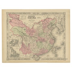
Antique Map of China with Provinces and Treaty Ports – Black’s Atlas, 1884
Description:
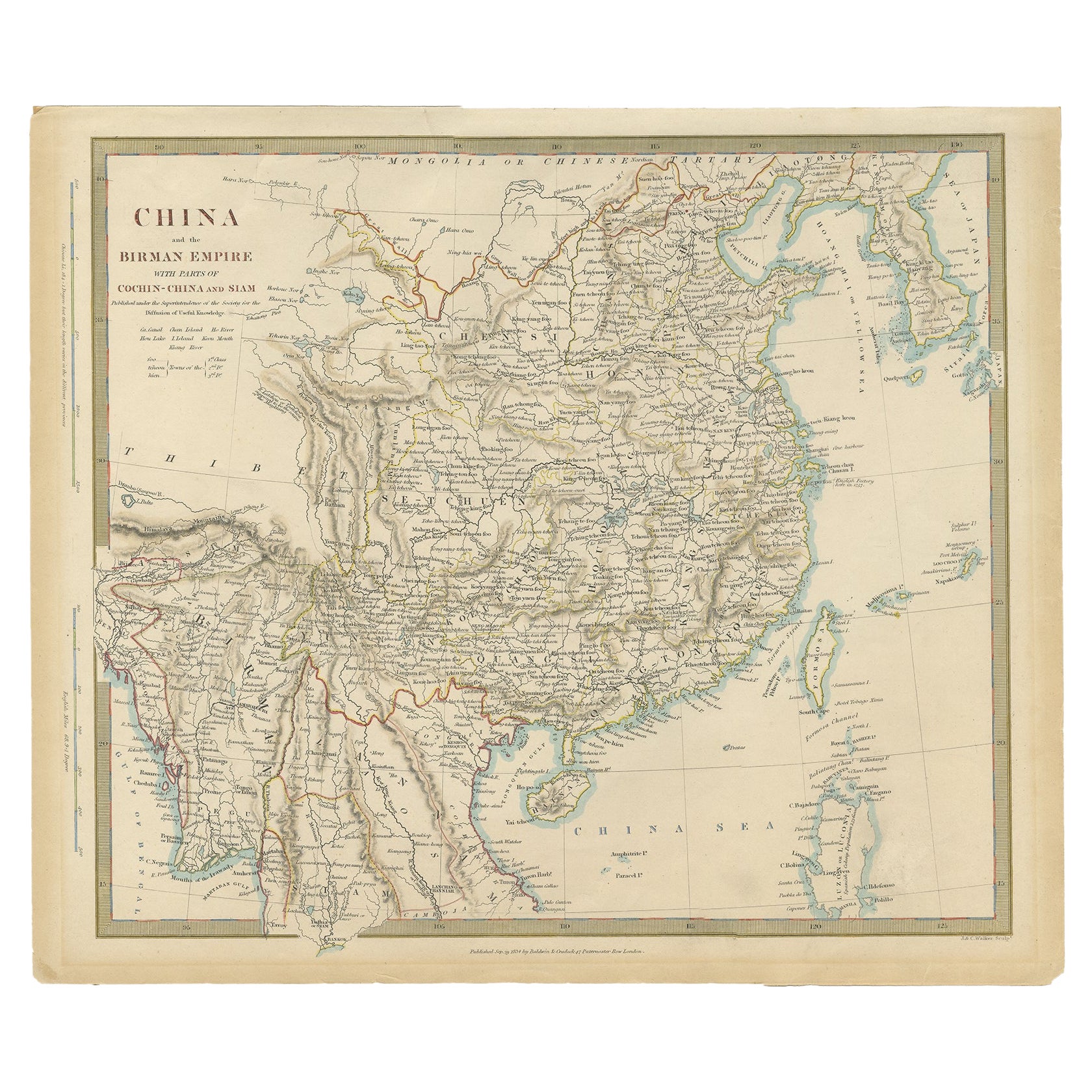
This finely engraved and hand-colored map of China was published in the New and Revised Edition of Black’s General Atlas of the World, Edinburgh, 1884. It presents a comprehensive political and geographical view of imperial China during the late Qing dynasty, at a time of increasing foreign contact, trade, and geopolitical pressure.
The map covers the whole of China proper, extending westward toward Tibet and Mongolia and eastward to the Yellow Sea and Pacific Ocean. Provincial boundaries are clearly delineated and distinguished by subtle original hand coloring, making the administrative divisions of 19th-century China immediately legible. Major provinces such as Zhili, Shandong, Shanxi, Shaanxi, Sichuan, Guangdong, Fujian, and Yunnan are clearly labeled.
Rivers and natural features are carefully engraved, including the Yangtze (Yang-tse-Kiang), Yellow River (Hoang Ho), Pearl River system, and the rugged mountain chains of western China. Coastal details are particularly well rendered, with ports, islands, and maritime routes clearly marked. Treaty ports and major cities such as Peking (Beijing), Canton (Guangzhou), Shanghai, Nanking (Nanjing), Hankow, and Foochow are prominently shown, reflecting China’s growing integration into global trade networks following the Opium Wars.
This map captures China at a pivotal historical moment, before the fall of the Qing dynasty and the political upheavals of the early 20th century. It is both a valuable historical document and an elegant example of Victorian cartography, combining clarity, scale, and restrained color.
Condition report:
Very good condition. Original hand coloring remains clear and balanced. Center fold as issued. Light marginal toning and faint age-related spotting consistent with atlas maps of this period. Plate mark visible. No tears or losses.
Framing tips:
This large-format map displays beautifully with a wide archival mat in ivory or light cream to complement the pastel provincial coloring. A dark walnut or black frame enhances contrast and legibility, while a gilt frame adds a refined Victorian character. UV-protective glass is recommended to preserve the original hand coloring.
Technique: Engraving with original hand coloring
Maker: Black’s General Atlas, Edinburgh, 1884
- Dimensions:Height: 17.84 in (45.3 cm)Width: 24.1 in (61.2 cm)Depth: 0.01 in (0.2 mm)
- Materials and Techniques:
- Place of Origin:
- Period:
- Date of Manufacture:1884
- Condition:Very good condition. Original hand coloring remains clear and balanced. Center fold as issued. Light marginal toning and faint age-related spotting consistent with atlas maps of this period. Plate mark visible. No tears or losses.
- Seller Location:Langweer, NL
- Reference Number:Seller: BG-13601-3-261stDibs: LU3054348283832
About the Seller
5.0
Recognized Seller
These prestigious sellers are industry leaders and represent the highest echelon for item quality and design.
Platinum Seller
Premium sellers with a 4.7+ rating and 24-hour response times
Established in 2009
1stDibs seller since 2017
2,838 sales on 1stDibs
Typical response time: 1 hour
- ShippingRetrieving quote...Shipping from: Langweer, Netherlands
- Return Policy
More From This Seller
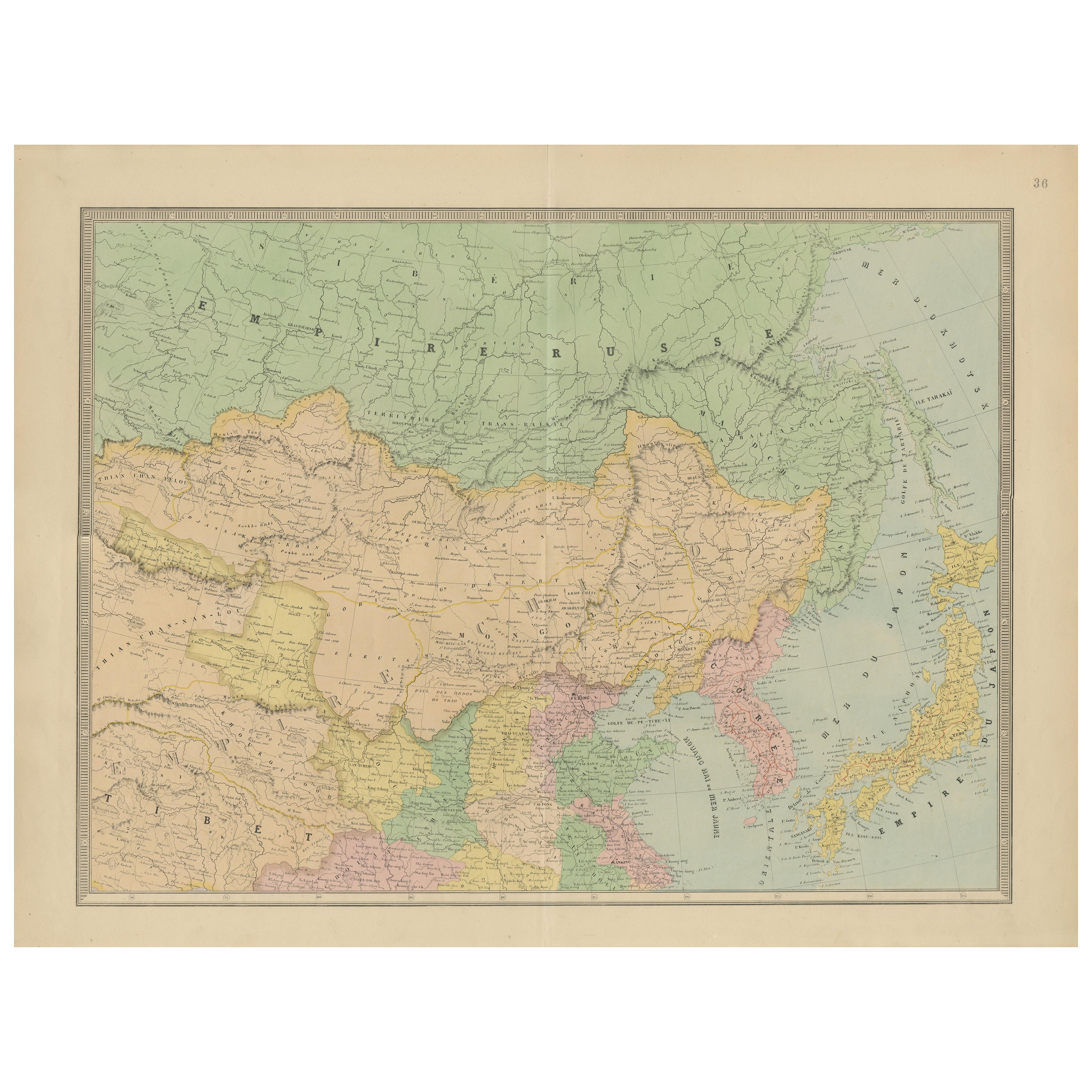
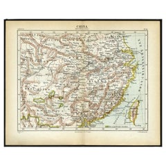
View AllAntique Map of China by A
C, Black, 1870
Located in Langweer, NL
Antique map titled 'China'. Original antique map of China. This map originates from ‘Black's General Atlas of The World’. Published by A & C. Black, 1870.
Category
Antique Late 19th Century Maps
Materials
Paper

$261 Sale Price
20% Off
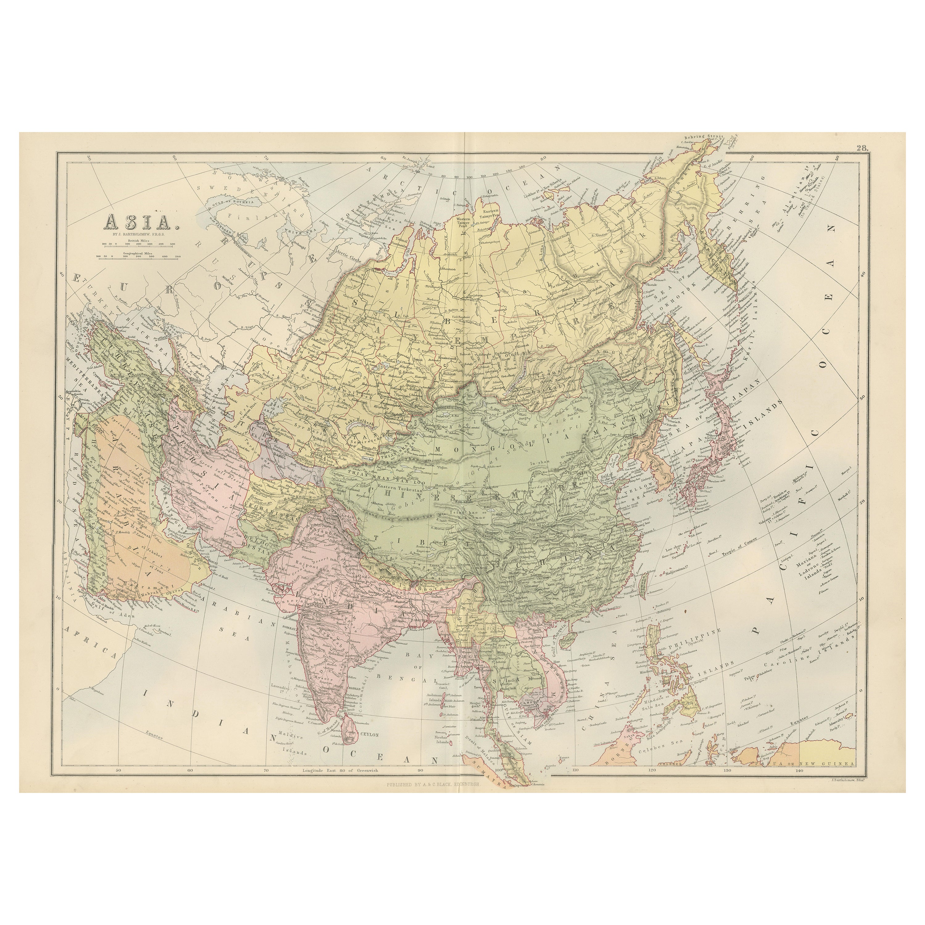
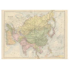
Antique Map of Asia with Political Divisions – Black’s Atlas, 1884
Located in Langweer, NL
Antique Map of Asia with Political Divisions – Black’s Atlas, 1884
This finely engraved and hand-colored map of Asia was published in the New and Revised Edition of Black’s General ...
Category
Antique 1880s Scottish Maps
Materials
Paper
Antique Map of China, Japan
Korea – Eastern Asia by Andriveau-Goujon, 1860
Located in Langweer, NL
Antique Map of China, Japan & Korea – Eastern Asia by Andriveau-Goujon, 1860
This beautifully hand-colored antique map, titled “Carte de la Chine, de la Corée et du Japon,” was publ...
Category
Antique Mid-19th Century French Maps
Materials
Paper
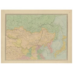
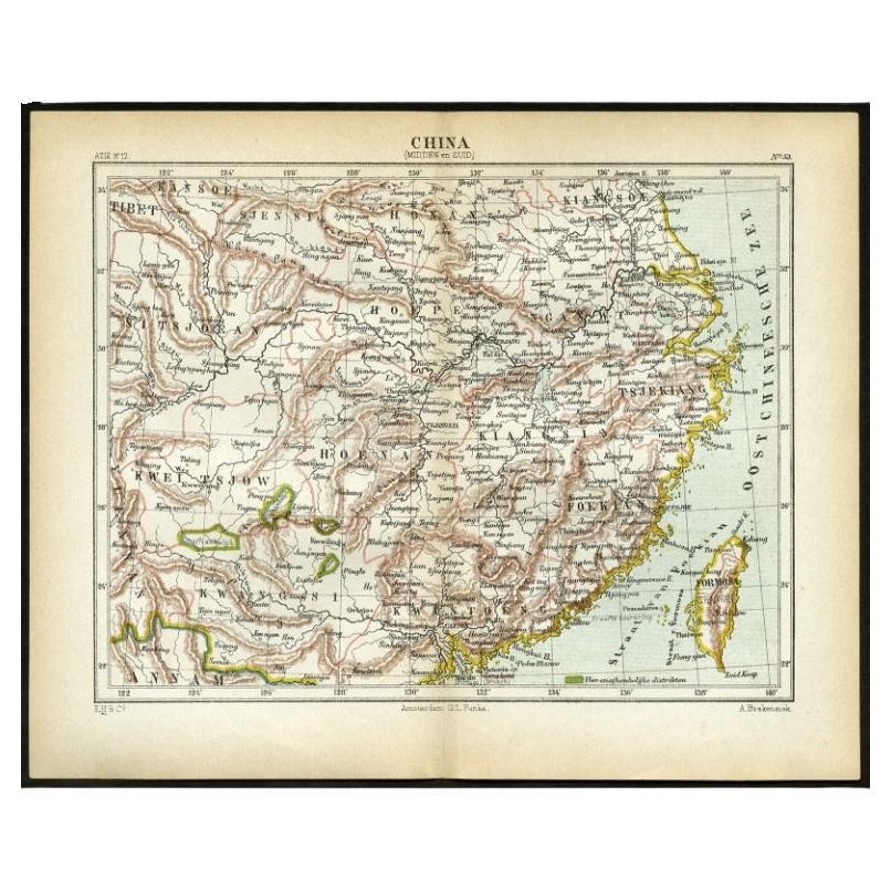
Antique Map of Central and Southern China by Kuyper, 1880
Located in Langweer, NL
Plate 53 : 'China, Midden en Zuid.' (China, Central and South). This lithographed map originates from: 'Wereld-atlas voor Kantoor en Huiskamer' (transl: World Atlas for the office an...
Category
Antique 19th Century Maps
Materials
Paper
$61 Sale Price
20% Off
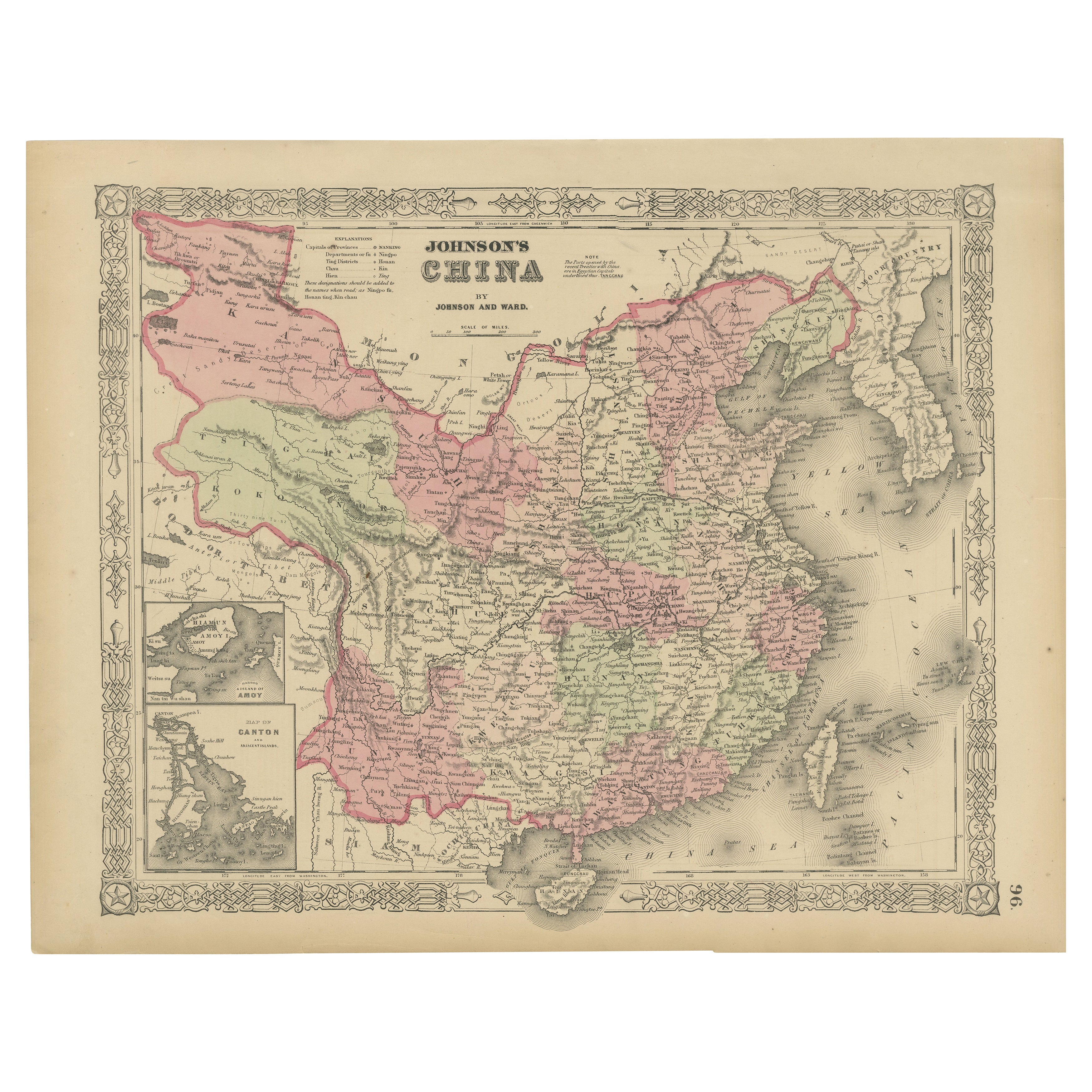
Johnson’s China Map with Canton Inset, USA Published c.1864 – Hand-Colored
Located in Langweer, NL
Johnson’s China Map with Canton Inset, USA Published c.1864 – Hand-Colored
This is a finely engraved and hand-colored map titled Johnson’s China, publis...
Category
Antique Mid-19th Century American Maps
Materials
Paper
Antique Map of China, Also Depicting Formosa
Taiwan
and Part of Korea, c.1840
Located in Langweer, NL
Antique map titled 'China'. Old map of China, also depicting Formosa (Taiwan) and part of Korea. Source unknown, to be determined.
Artists and Engravers: Anonymous.
Condition: ...
Category
Antique 19th Century Maps
Materials
Paper

You May Also Like
Original Antique Map of China, Arrowsmith, 1820
Located in St Annes, Lancashire
Great map of China
Drawn under the direction of Arrowsmith
Copper-plate engraving
Published by Longman, Hurst, Rees, Orme and Brown, 1820
Unfr...
Category
Antique 1820s English Maps
Materials
Paper

Large Original Vintage Map of China, circa 1920
Located in St Annes, Lancashire
Great map of China.
Original color. Good condition.
Published by Alexander Gross
Unframed.
Category
Vintage 1920s English Edwardian Maps
Materials
Paper

China and Japan, English antique map by Alexander Keith Johnston, 1901
Located in Melbourne, Victoria
'China and Japan', antique lithographic map by Keith Johnston.
Central vertical fold as issued.
495mm by 625mm (sheet)
Alexander Keith Johnston FRS...
Category
Early 20th Century Victorian More Prints
Materials
Lithograph

Super Rare Antique French Map of Chine and the Chinese Empire, 1780
Located in Amsterdam, Noord Holland
Super Rare Antique French Map of Chine and the Chinese Empire, 1780
Very nice map of Asia. 1780 Made by Bonne.
Additional information:
Type: Map
...
Category
Antique 18th Century European Maps
Materials
Paper

$438 Sale Price
49% Off
Large Original Antique Map of Asia by Sidney Hall, 1847
Located in St Annes, Lancashire
Great map of Asia
Drawn and engraved by Sidney Hall
Steel engraving
Original colour outline
Published by A & C Black. 1847
Unframed
Free shipping
Category
Antique 1840s Scottish Maps
Materials
Paper

Original Antique Map of The Eastern Hemisphere by Dower, circa 1835
Located in St Annes, Lancashire
Nice map of the Eastern Hemisphere
Drawn and engraved by J.Dower
Published by Orr & Smith. C.1835
Unframed.
Free shipping
Category
Antique 1830s English Maps
Materials
Paper
