Items Similar to Antique Map of the Gooi Region by Craandijk, 1884

Want more images or videos?
Request additional images or videos from the seller
1 of 5
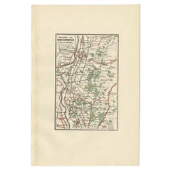
Antique Map of the Gooi Region by Craandijk, 1884
$104.11
£77.76
€87
CA$143.43
A$156.31
CHF 82.77
MX$1,877.46
NOK 1,047.93
SEK 963.47
DKK 662.79
About the Item
Antique map titled 'Het Gooi'. Old map of the region of Hilversum also including cities and villages like Naarden, Laren, Blaricum, Eemnes and Baarn. This map orginates from 'Atlas behoorende bij Wandelingen door Nederland met Pen en Potlood'.
Artists and Engravers: Author: J. Craandijk. Published by H.D. Tjeenk Willink, Haarlem.
Condition: Good, general age-related toning. Minor defects from handling, please study image carefully.
Date: 1884
Overall size: 18 x 26.6 cm.
Image size: 10.2 x 15.2 cm.
We sell original antique maps to collectors, historians, educators and interior decorators all over the world. Our collection includes a wide range of authentic antique maps from the 16th to the 20th centuries. Buying and collecting antique maps is a tradition that goes back hundreds of years. Antique maps have proved a richly rewarding investment over the past decade, thanks to a growing appreciation of their unique historical appeal. Today the decorative qualities of antique maps are widely recognized by interior designers who appreciate their beauty and design flexibility. Depending on the individual map, presentation, and context, a rare or antique map can be modern, traditional, abstract, figurative, serious or whimsical. We offer a wide range of authentic antique maps for any budget.
- Dimensions:Height: 10.48 in (26.6 cm)Width: 7.09 in (18 cm)Depth: 0 in (0.01 mm)
- Materials and Techniques:
- Period:
- Date of Manufacture:1884
- Condition:
- Seller Location:Langweer, NL
- Reference Number:Seller: BG-00954-121stDibs: LU3054327795292
About the Seller
5.0
Recognized Seller
These prestigious sellers are industry leaders and represent the highest echelon for item quality and design.
Platinum Seller
Premium sellers with a 4.7+ rating and 24-hour response times
Established in 2009
1stDibs seller since 2017
2,786 sales on 1stDibs
Typical response time: <1 hour
- ShippingRetrieving quote...Shipping from: Langweer, Netherlands
- Return Policy
More From This Seller
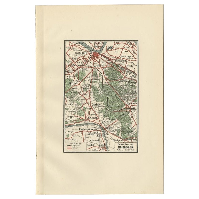
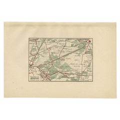
View AllAntique Map of the Region of Nijmegen by Craandijk, 1884
Located in Langweer, NL
Antique map titled 'Omstreken van Nijmegen'. Old map of the region of Nijmegen also including cities and villages like Malden, Heumen, Linden and Groesbeek. This map orginates from '...
Category
Antique 19th Century Maps
Materials
Paper

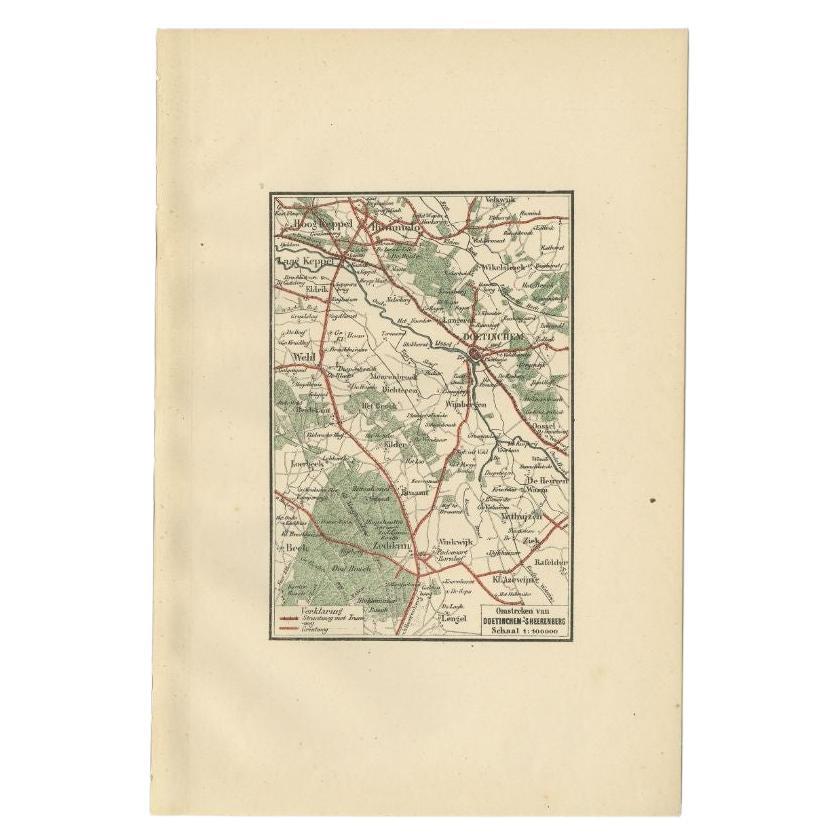
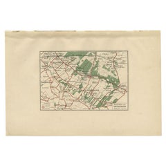
Antique Map of the Region of Doetinchem by Craandijk, 1884
Located in Langweer, NL
Antique map titled 'Omstreken van Doetinchem - 's Heerenberg'. Old map of the region of Doetinchem also including cities and villages like Keppel, Wehl and Zeddam. This map orginates...
Category
Antique 19th Century Maps
Materials
Paper
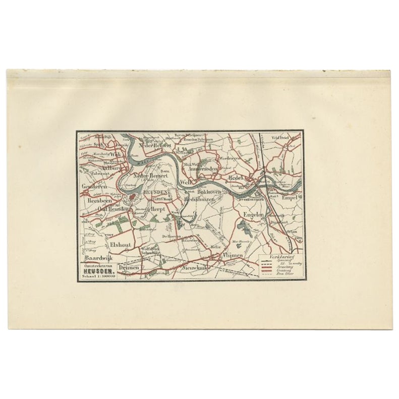
Antique Map of the Region of Heusden by Craandijk, 1884
Located in Langweer, NL
Antique map titled 'Omstreken van Heusden'. Old map of the region of Heusden also including cities and villages like Elshout, Aalburg, Hedel and Vlijmen. This map orginates from 'Atl...
Category
Antique 19th Century Maps
Materials
Paper
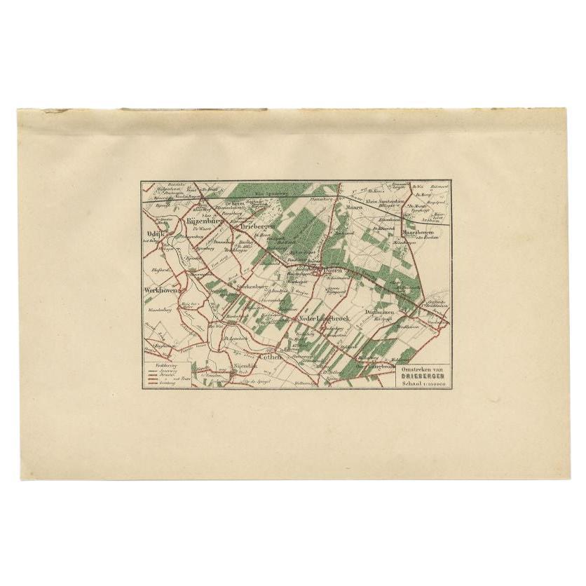
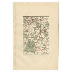
Antique Map of the Region of Driebergen by Craandijk, 1884
Located in Langweer, NL
Antique map titled 'Omstreken van Driebergen'. Old map of the region of Driebergen also including cities and villages like Odijk, Rijzenburg, Maarn, Doorn and Maarsbergen. This map o...
Category
Antique 19th Century Maps
Materials
Paper
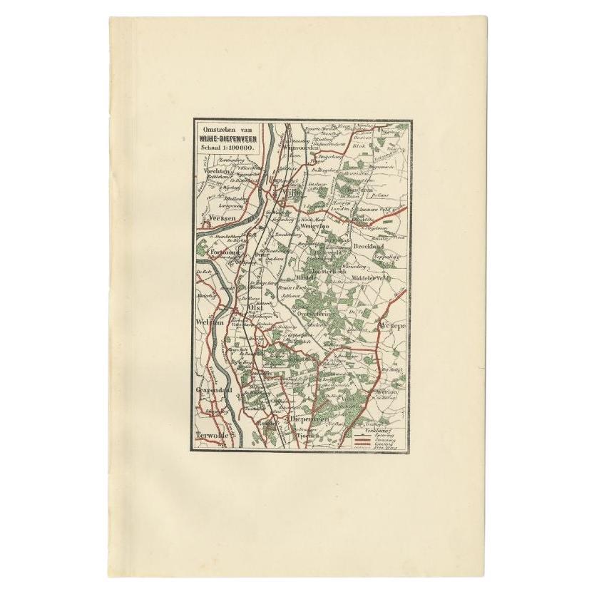
Antique Map of the Region of Wijhe-Diepenveen by Craandijk, 1884
Located in Langweer, NL
Antique map titled 'Omstreken van Wijhe - Diepenveen'. Old map of the region of Wijhe also including cities and villages like Olst, Welsum and Veessen. This map orginates from 'Atlas...
Category
Antique 19th Century Maps
Materials
Paper
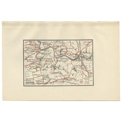
Antique Map of the Region of Amersfoort by Craandijk, 1884
Located in Langweer, NL
Antique map titled 'Omstreken van Amersfoort'. Old map of the region of Amersfoort also including cities and villages like De Bilt, Zeist and Leusden. This map orginates from 'Atlas ...
Category
Antique 19th Century Maps
Materials
Paper
You May Also Like
Original Antique English County Map, Buckinghamshire, J
C Walker, 1851
Located in St Annes, Lancashire
Great map of Buckinghamshire
Original colour
By J & C Walker
Published by Longman, Rees, Orme, Brown & Co. 1851
Unframed.
Category
Antique 1850s English Other Maps
Materials
Paper

1891 Map of Norfolk County Massachusetts
Located in Norwell, MA
1891 map of Norfolk county Massachusetts including the towns of Wrentham, Franklin, Medfield, Sherborn, Norwood etc., measures: 23 x 31.
Category
Antique 19th Century Maps

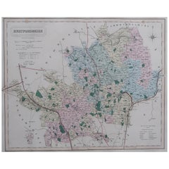
Original Antique English County Map, Hertfordshire. J
C Walker, 1851
Located in St Annes, Lancashire
Great map of Hertfordshire
Original colour
By J & C Walker
Published by Longman, Rees, Orme, Brown & Co. 1851
Unframed.
Category
Antique 1850s English Other Maps
Materials
Paper
Original Antique Map of the American State of New York ( Southern Part ) 1903
Located in St Annes, Lancashire
Antique map of New York ( Southern Part )
Published By A & C Black. 1903
Original colour
Good condition
Unframed.
Free shipping
Category
Antique Early 1900s English Maps
Materials
Paper

Original Antique English County Map, Warwickshire, J
C Walker, 1851
Located in St Annes, Lancashire
Great map of Warwickshire
Original colour
By J & C Walker
Published by Longman, Rees, Orme, Brown & Co. 1851
Unframed.
Category
Antique 1850s English Other Maps
Materials
Paper

Original Antique English County Map, Huntingdonshire, J
C Walker, 1851
Located in St Annes, Lancashire
Great map of Huntingdonshire
Original colour
By J & C Walker
Published by Longman, Rees, Orme, Brown & Co. 1851
Unframed.
Category
Antique 1850s English Other Maps
Materials
Paper

More Ways To Browse
Large Framed Maps
Map Of Normandy
Map Of Singapore
Map Of Vienna
Missouri Map
Nantucket Map
Old School Maps
Santa Cruz Used Furniture
Ukraine Antique Map
Used Office Furniture Cincinnati
Antique Map Of Cuba
Antique Map Vietnam
Antique Maps Colorado
Antique Maps Of Kansas
Antique Marine Maps
Antique World Globe Map
Garde Corps
Marie Galante