Items Similar to Antique Map of India, Persia
Afghanistan – Detailed Continental Engraving 1864
Want more images or videos?
Request additional images or videos from the seller
1 of 10
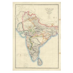
Antique Map of India, Persia
Afghanistan – Detailed Continental Engraving 1864
$467.98
£346.81
€390
CA$639.60
A$696.25
CHF 369.57
MX$8,377.42
NOK 4,682.97
SEK 4,290.92
DKK 2,970.75
About the Item
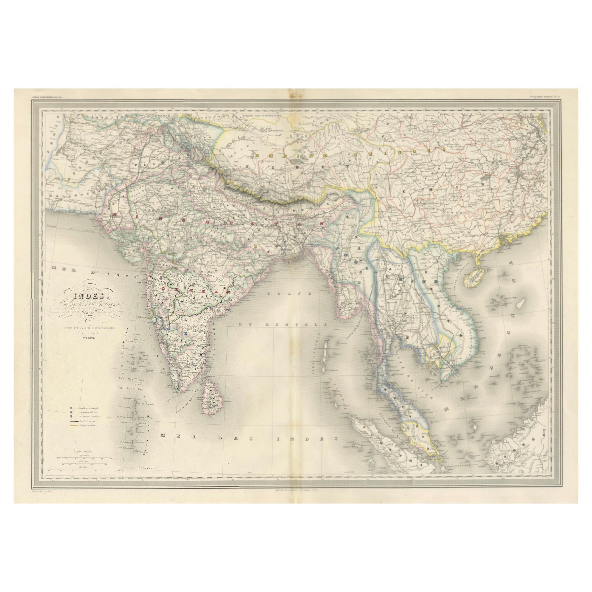
Antique Map of India, Persia
Afghanistan – Andriveau-Goujon, Paris 1864
This detailed 19th-century map titled “Asie Méridionale comprenant la Presqu'île de l'Inde, la Perse, l'Afghanistan et le Beloutchistan” was published in Paris in 1864 by the renowned cartographer E. Andriveau-Goujon. Issued as plate number 35 in the Atlas Universel, it offers a comprehensive depiction of Southern Asia, covering the Indian subcontinent as well as the adjoining regions of Persia (Iran), Afghanistan, and Baluchistan.
The Indian peninsula is shown in extraordinary detail, capturing the complex political landscape under British colonial control. Princely states are individually colored, with clear boundaries separating territories under direct British rule from those governed by local rulers. Major cities such as Bombay, Calcutta, Madras, Delhi, Lahore, and Hyderabad are prominently marked, alongside principal rivers, mountain ranges, and road networks.
To the northwest, the Persian Empire appears in yellow, stretching to the Caspian Sea and the Persian Gulf. Afghanistan and Baluchistan are delineated with colored boundaries, reflecting the geopolitical interest of European powers in this buffer zone between British India and the Russian Empire during the “Great Game.”
A legend at bottom center explains the various color codes and boundary lines, distinguishing independent states, provinces under British rule, and tribal regions. The inclusion of the Persian Gulf, Arabian Sea, and Indian Ocean further situates the subcontinent within a broader maritime and geopolitical context.
This map serves as an important historical document reflecting colonial influence, territorial divisions, and regional geography during the mid-19th century.
Condition: Very good condition. Original centerfold. Slight age toning to margins, minor edge wear. Strong original hand coloring, sharp engraving. Plate number 35 in upper right.
Framing tips: Ideal in a dark wooden or ebonized frame with a neutral ivory or cream mount. A secondary mat in light ochre or muted red can highlight the warm tones in the map and complement antique interiors.
Technique: Engraving with original hand coloring
Maker: E. Andriveau-Goujon, Paris, 1864
- Dimensions:Height: 20.91 in (53.1 cm)Width: 27.64 in (70.2 cm)Depth: 0.01 in (0.2 mm)
- Materials and Techniques:Paper,Engraved
- Place of Origin:
- Period:
- Date of Manufacture:1864
- Condition:Condition: Very good condition. Original centerfold as issued. Light age toning and minimal foxing to the margins. Strong impression with well-preserved original hand coloring. Plate number 33 in upper right.
- Seller Location:Langweer, NL
- Reference Number:Seller: BG-14099-141stDibs: LU3054346186092
About the Seller
5.0
Recognized Seller
These prestigious sellers are industry leaders and represent the highest echelon for item quality and design.
Platinum Seller
Premium sellers with a 4.7+ rating and 24-hour response times
Established in 2009
1stDibs seller since 2017
2,819 sales on 1stDibs
Typical response time: 1 hour
- ShippingRetrieving quote...Shipping from: Langweer, Netherlands
- Return Policy
More From This Seller
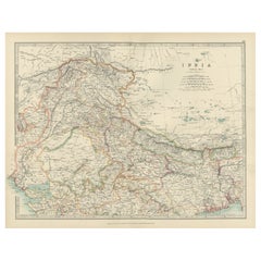
View AllAntique Map of India
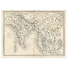
Southeast Asia – Chevalier Engraving, Malte-Brun, 1853
Located in Langweer, NL
Antique Map of India and Southeast Asia – Chevalier Engraving from Malte-Brun’s Atlas, 1853
This beautifully engraved map titled “Inde, comprenant les Empires de la Chine, de l’Indo...
Category
Antique Mid-19th Century English Maps
Materials
Paper
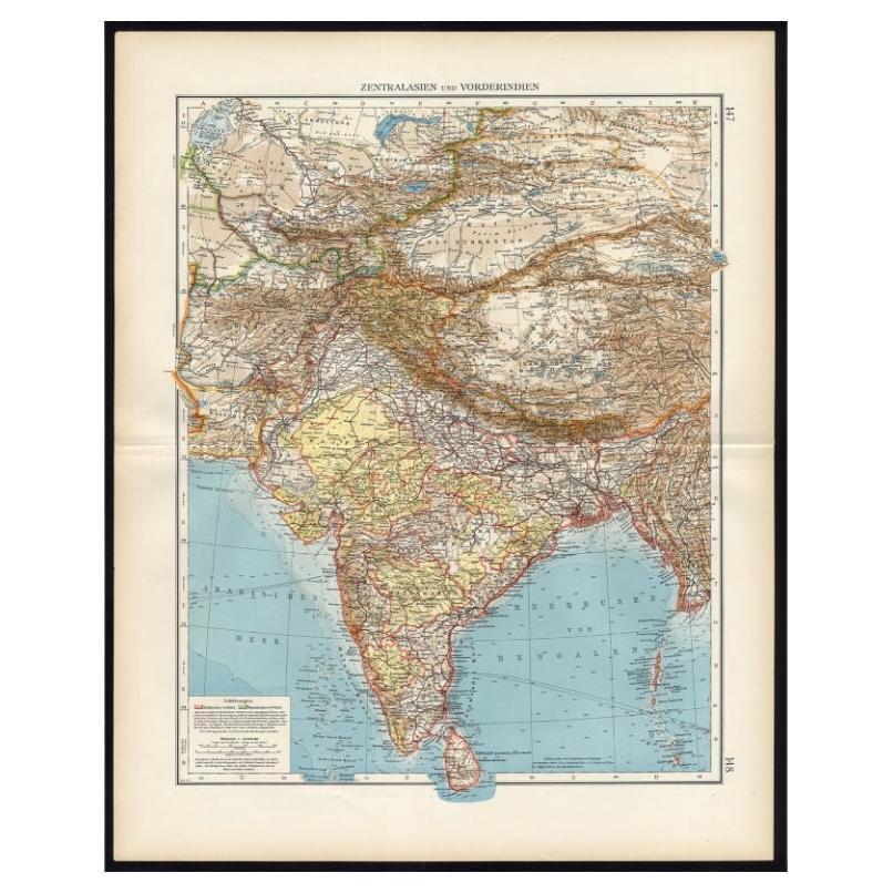
Antique Map of Central Asia and India, 1904
Located in Langweer, NL
Antique map titled 'Zentralasien und Vorderindien'. Map of Central Asia and India. This large antique map is taken from; 'Andrees Allgemeiner Handatlas in 126 Haupt-Und 139 Nebenkart...
Category
20th Century Maps
Materials
Paper

$129 Sale Price
20% Off
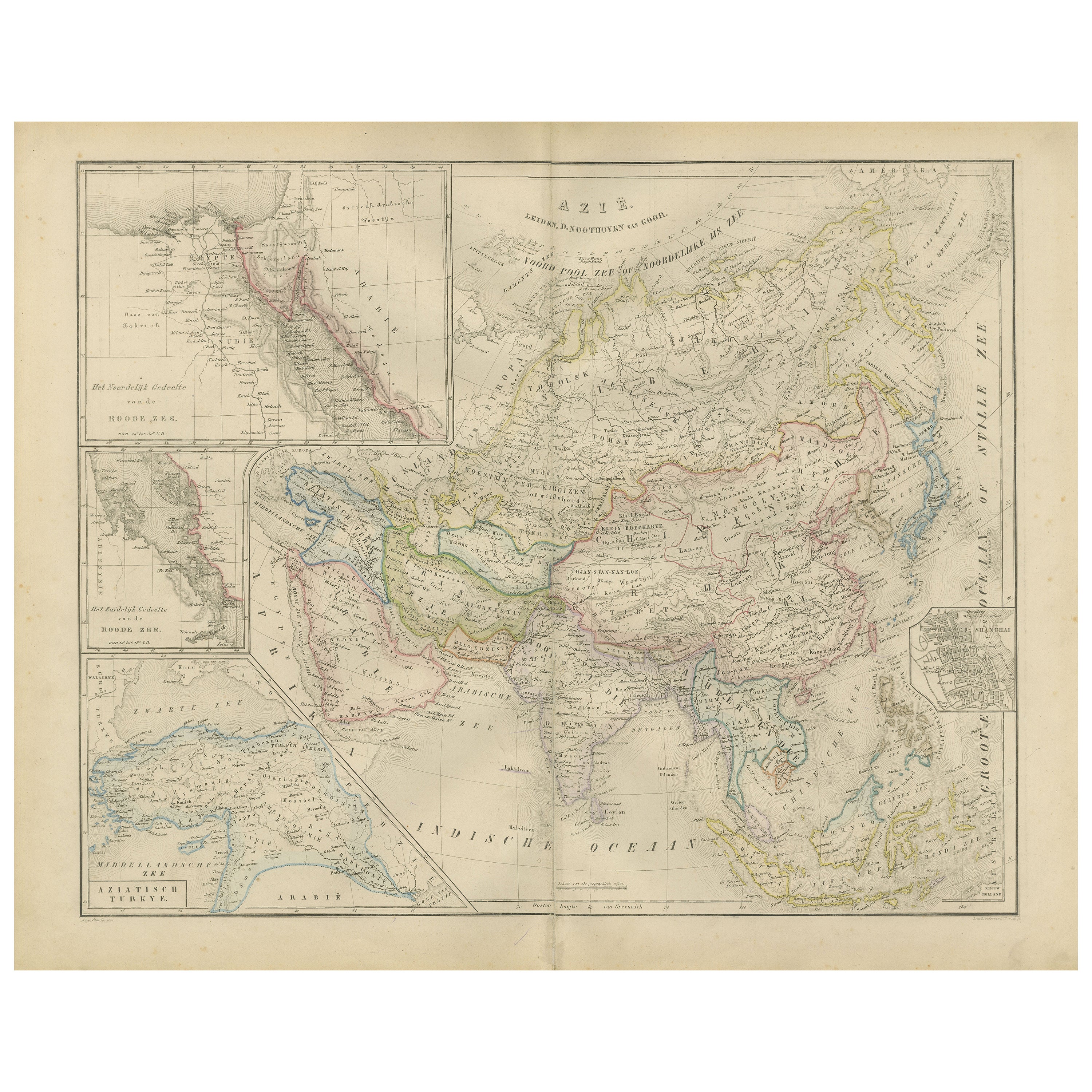
Asia Map with Middle East
India Insets – Nieuwe Hand-Atlas, Leiden 1876
Located in Langweer, NL
Asia Map with Middle East & India Insets – Nieuwe Hand-Atlas, Leiden 1876
This large, beautifully engraved 19th-century map titled “Azië” presents the full Asian continent in sweepi...
Category
Antique 1870s Dutch Maps
Materials
Paper
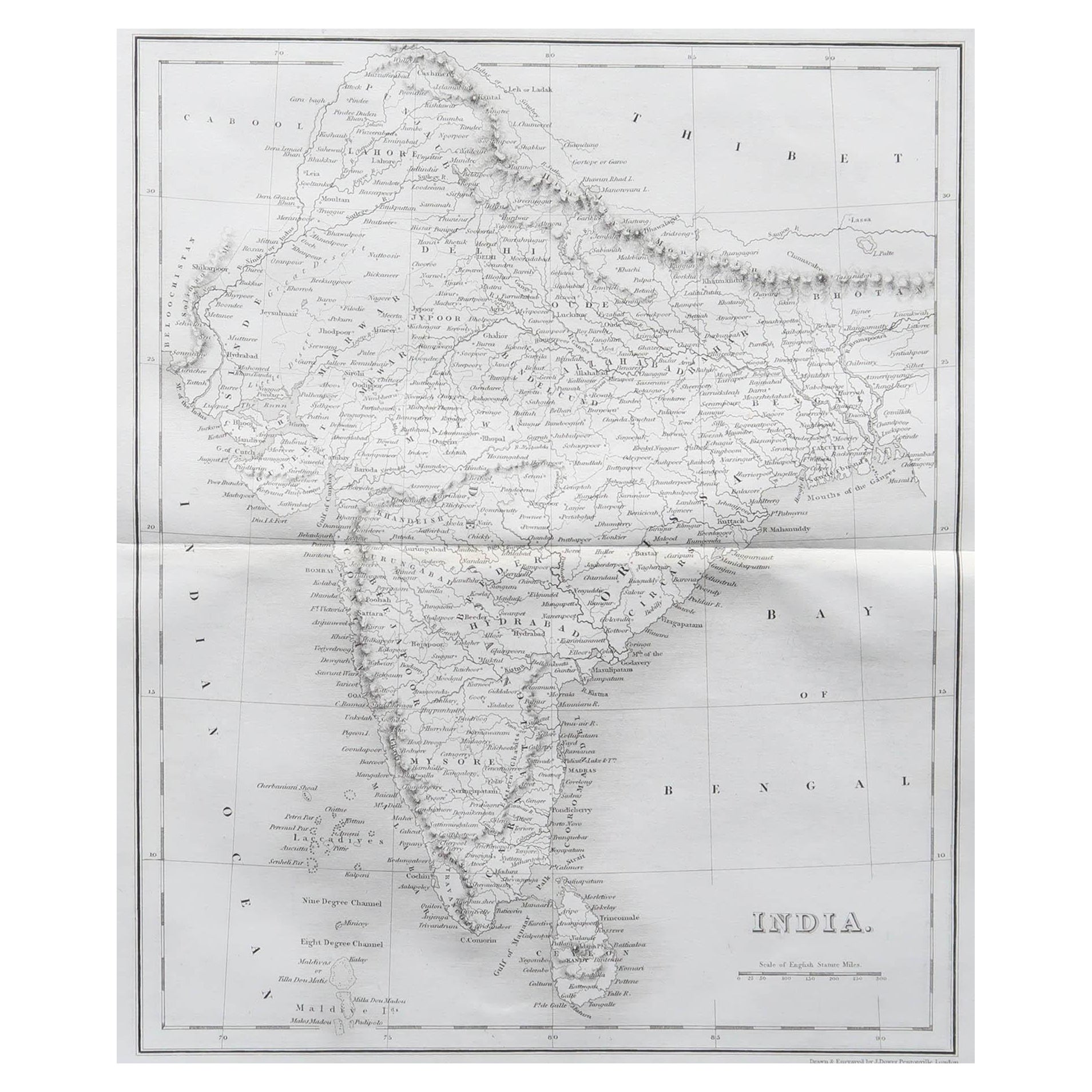
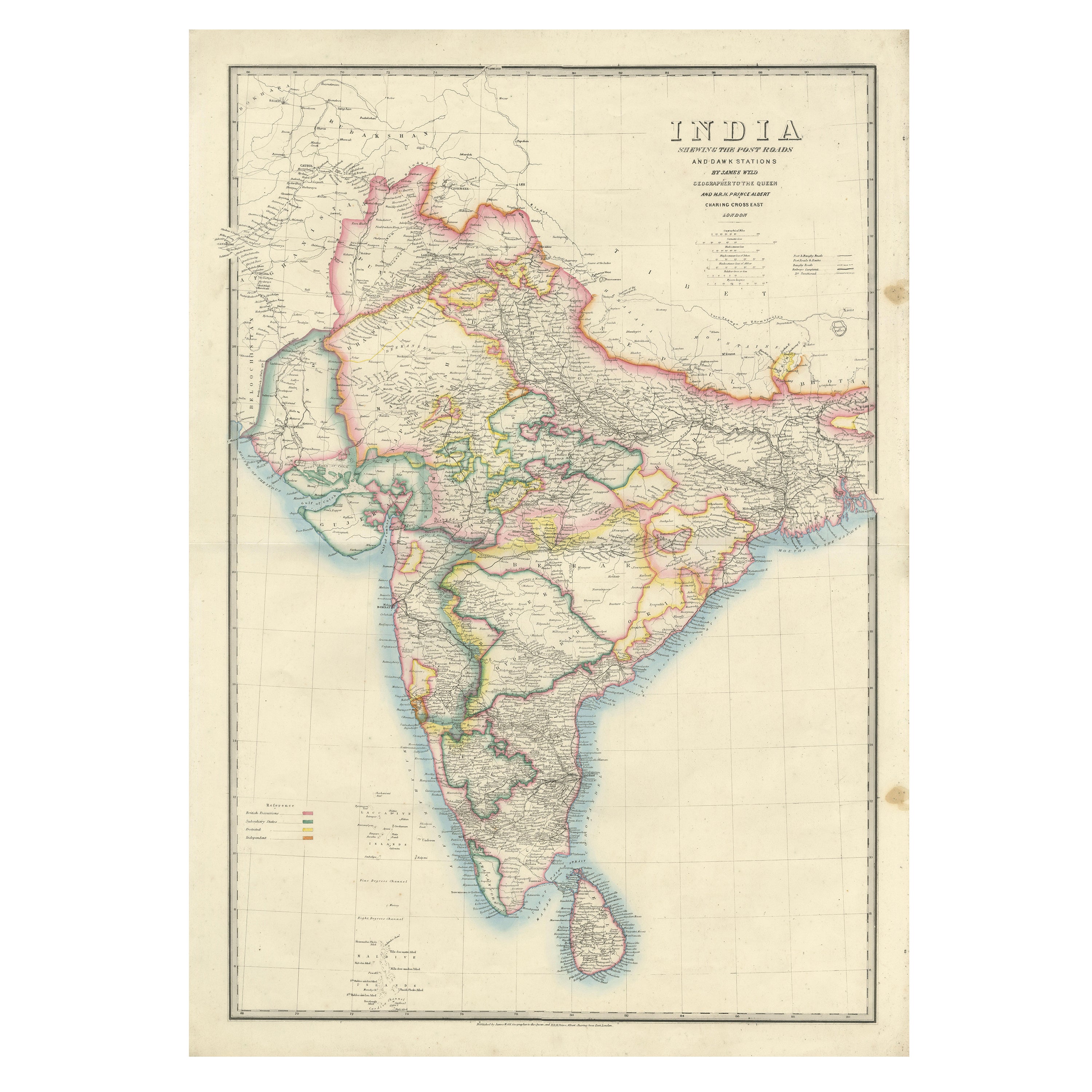
Large Antique Map of India – Post Roads and Dak Stations by James Wyld, c.1855
Located in Langweer, NL
Antique Map of India – Post Roads and Dak Stations by James Wyld, c.1855
This impressive antique map titled "India Shewing the Post Roads and Dak Stations" was engraved and publishe...
Category
Antique Mid-19th Century English Maps
Materials
Paper
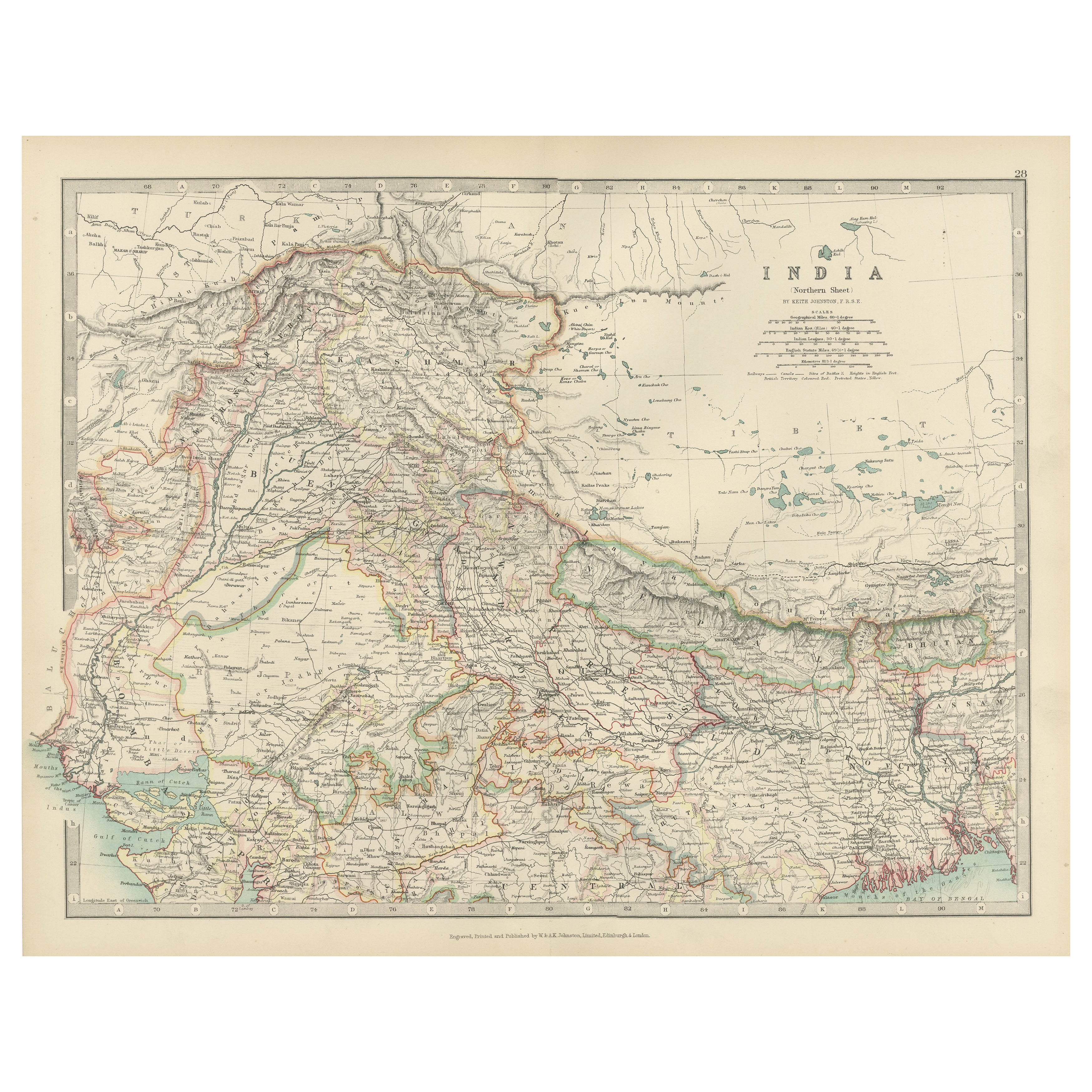
Antique Map of Northern India, Featuring Boundaries
Himalayan Detail, 1903
Located in Langweer, NL
Antique Map of Northern India, 1903, Featuring Provincial Boundaries and Himalayan Detail
This antique map, titled "India (Northern Sheet)," was engraved and published in 1903 by W....
Category
Early 20th Century Maps
Materials
Paper
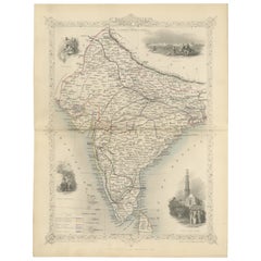
Mid-19th Century Decorative Map of India with Cultural and Natural Vignettes
Located in Langweer, NL
The Tallis maps, including the one of India, are known for their detailed and ornamental style. They were produced during the mid-19th century, a time when cartographic publishing became as much an art form as a means of geographic representation.
John Tallis & Company, founded by John Tallis, was known for creating maps with elaborate borders and vignettes surrounding the map itself. These maps often included illustrations that depicted scenes representative of the region's culture, significant local wildlife, architectural landmarks, and portraits of indigenous peoples...
Category
Antique 1850s Maps
Materials
Paper
$297 Sale Price
20% Off
You May Also Like
Original Antique Map of India by Dower, circa 1835
Located in St Annes, Lancashire
Nice map of India
Drawn and engraved by J.Dower
Published by Orr & Smith. C.1835
Unframed.
Free shipping
Category
Antique 1830s English Maps
Materials
Paper

India (Southern Sheet), English antique map by Alexander Keith Johnston, 1901
Located in Melbourne, Victoria
'India (Southern Sheet)', antique lithographic map by Keith Johnston.
Inset maps of 'Bombay Island & Town', 'Madras & Environs', and 'South-Eastern Provinces of India'.
Central vertical fold as issued.
495mm by 625mm (sheet)
Alexander Keith...
Category
Early 20th Century Victorian More Prints
Materials
Lithograph

Large Original Vintage Map of India, circa 1920
Located in St Annes, Lancashire
Great map of India
Original color.
Good condition / repair to some minor damage just above Sri Lanka. Shown in the last image.
Published by Alexander Gross
Unframed.
Category
Vintage 1920s English Maps
Materials
Paper

Large Original Antique Map of Afghanistan. Edward Weller, 1861
Located in St Annes, Lancashire
Great map of Afghanistan
Lithograph engraving by Edward Weller
Original colour
Published, 1861
Unframed
Good condition
Category
Antique 1860s English Victorian Maps
Materials
Paper

Antique 1803 Italian Map of Asia Including China Indoneseia India
Located in Amsterdam, Noord Holland
Antique 1803 Italian Map of Asia Including China Indoneseia India
Very nice map of Asia. 1803.
Additional information:
Type: Map
Country of Manufacturing: Europe
Period: 19th centu...
Category
Antique 19th Century European Maps
Materials
Paper

$438 Sale Price
39% Off
Original Antique Map of The Eastern Hemisphere by Dower, circa 1835
Located in St Annes, Lancashire
Nice map of the Eastern Hemisphere
Drawn and engraved by J.Dower
Published by Orr & Smith. C.1835
Unframed.
Free shipping
Category
Antique 1830s English Maps
Materials
Paper

More Ways To Browse
Antique Engraving Plates
British India
Ochre Light
India Engraving
Pair Of Danish Chairs
Veneer Dining Tables
1970 Italian Armchair
Furniture Uk
House Of Denmark Table And Chairs
Louis Marble Top Side Table
Antique Russian Rugs
Baker Furniture By
For Kids
Sterling Silver Flatware Set Service For 12
Tufted Bar
Pair Of French Antique Armchairs
1970s Brass Glass Coffee Table
Antique Column Base