Items Similar to Antique Map of Iowa and Nebraska by Johnson,
1872
Want more images or videos?
Request additional images or videos from the seller
1 of 10
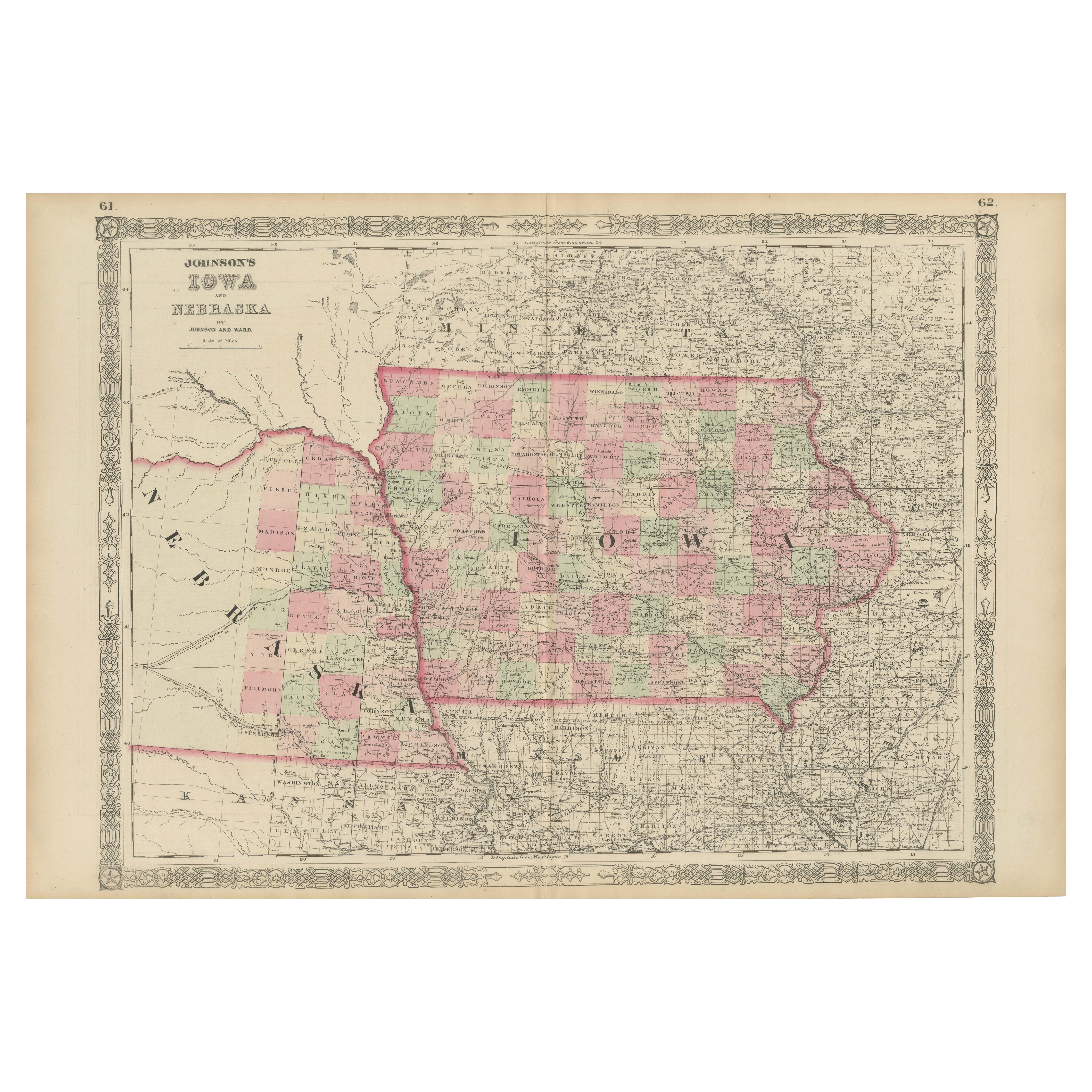
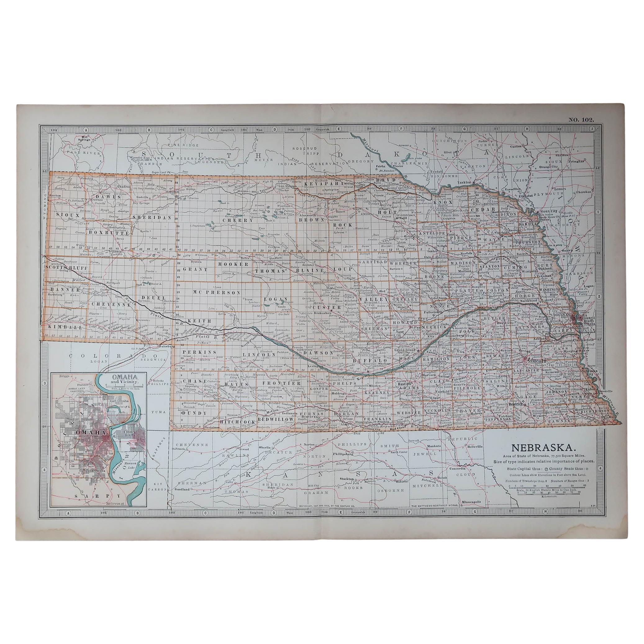
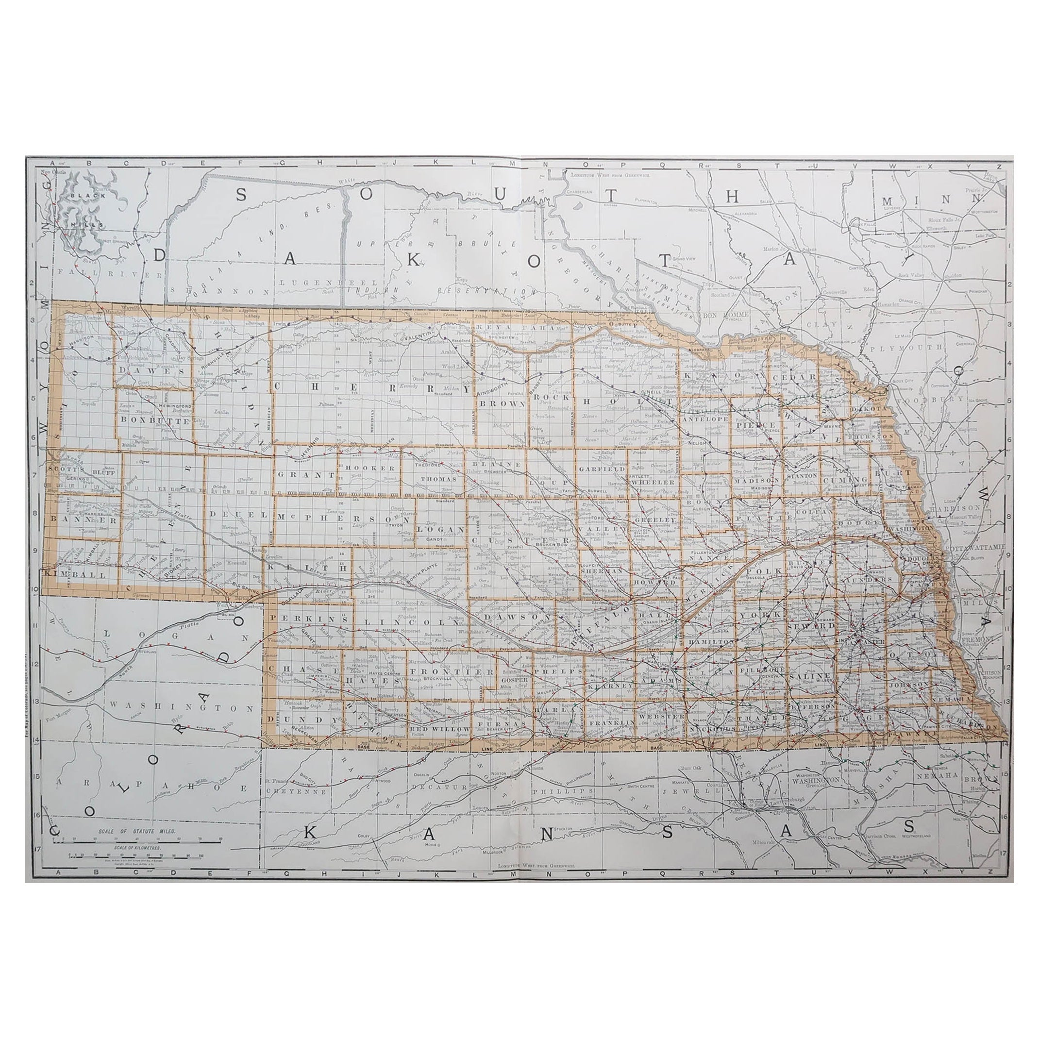
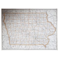
Antique Map of Iowa and Nebraska by Johnson,
1872
$299.02
£222.04
€250
CA$410.80
A$446.62
CHF 236.80
MX$5,353.89
NOK 3,009.62
SEK 2,757.22
DKK 1,905.80
About the Item
Antique map titled 'Johnson's Iowa and Nebraska'. Original map of Iowa and Nebraska. This map originates from 'Johnson's New Illustrated Family Atlas of the World' by A.J. Johnson. Published 1872.
- Dimensions:Height: 17.92 in (45.5 cm)Width: 26.38 in (67 cm)Depth: 0.02 in (0.5 mm)
- Materials and Techniques:
- Period:
- Date of Manufacture:1872
- Condition:General age-related toning, shows minor wear and creasing. Some soiling. Original folding line. English text on verso. Please study images carefully.
- Seller Location:Langweer, NL
- Reference Number:Seller: BG-12592-531stDibs: LU3054321468442
About the Seller
5.0
Recognized Seller
These prestigious sellers are industry leaders and represent the highest echelon for item quality and design.
Platinum Seller
Premium sellers with a 4.7+ rating and 24-hour response times
Established in 2009
1stDibs seller since 2017
2,821 sales on 1stDibs
Typical response time: 1 hour
- ShippingRetrieving quote...Shipping from: Langweer, Netherlands
- Return Policy
More From This Seller
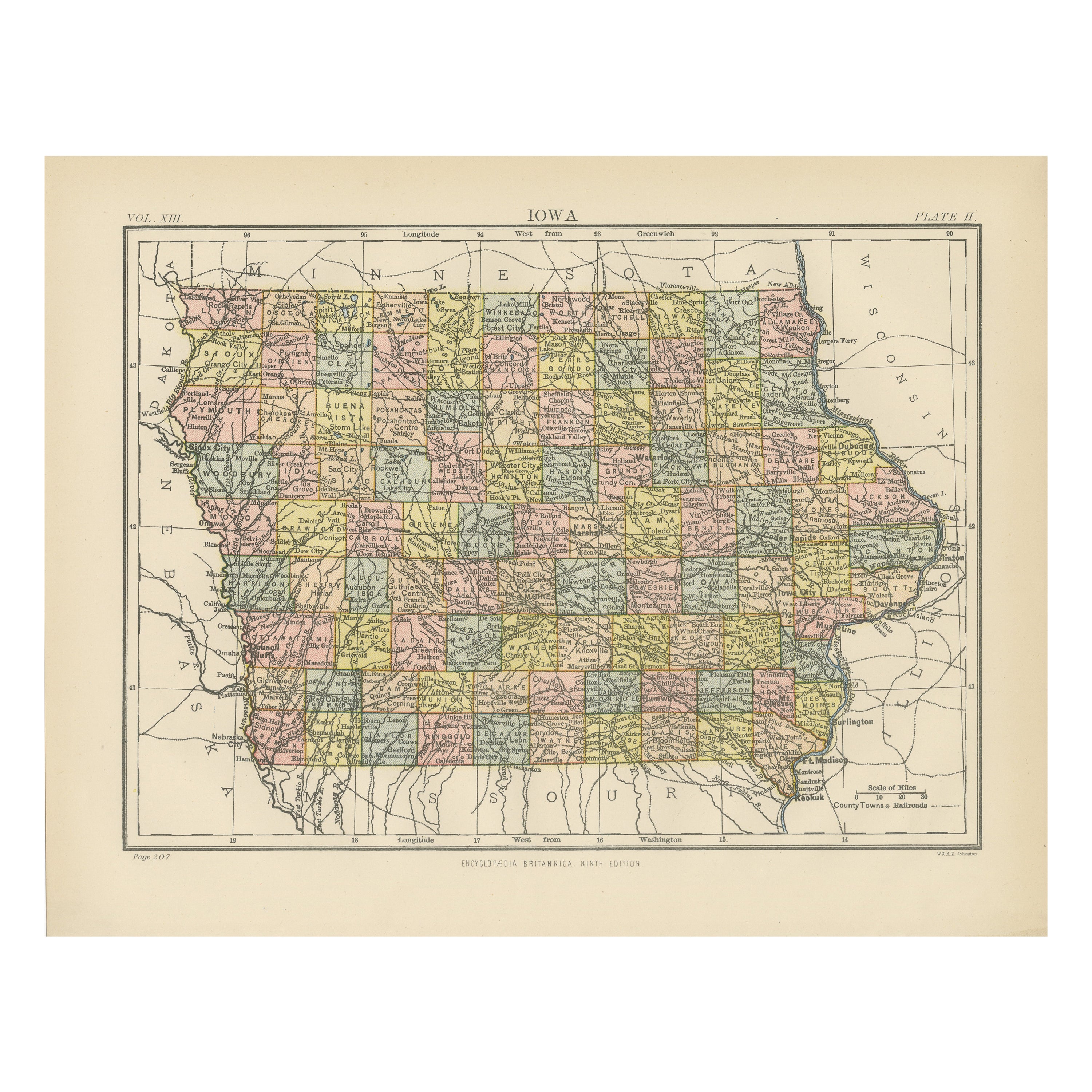
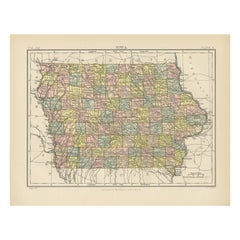
View AllOriginal Antique Map of Iowa, Published in 1881
Located in Langweer, NL
Antique map titled 'Iowa'. Original antique map of Iowa, United States. This print originates from 'Encyclopaedia Britannica', Ninth Edition. Published 188...
Category
Antique Late 19th Century English Maps
Materials
Paper
$277 Sale Price
20% Off
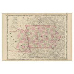
Vintage 1862 Map of Iowa and Nebraska – Decorative Atlas Print
Located in Langweer, NL
Antique Map of Iowa and Nebraska by Johnson and Ward, 1862
This beautifully detailed antique map, published in 1862, depicts the states of Iowa and Nebraska during the mid-19th cent...
Category
Antique 1860s Maps
Materials
Paper
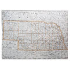
Antique Map of Nebraska
Located in Langweer, NL
Antique map titled 'Nebraska'. Original antique map of Nebraska, United States. This print originates from 'Encyclopaedia Britannica', Ninth Edition. Pu...
Category
Antique Late 19th Century Maps
Materials
Paper

$277 Sale Price
20% Off
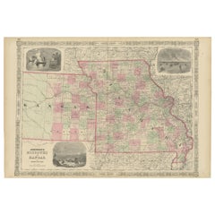
Historic Map of Missouri and Kansas Showing Railroads and Frontier Trails, 1864
Located in Langweer, NL
Antique 1864 Map of Missouri and Kansas by Johnson and Ward
Description:
This finely detailed and vibrantly hand-colored map of Missouri and Kansas, publ...
Category
Antique 1860s Maps
Materials
Paper
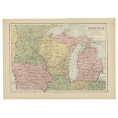
Antique Map of Western States, Michigan, Wisconsin, Iowa by A
C. Black, 1870
Located in Langweer, NL
Antique map titled 'Western States, Michigan, Wisconsin, Minnesota, Iowa with portions of Illinois & Indiana'. Original antique map of Western States, Michigan, Wisconsin, Minnesota,...
Category
Antique Late 19th Century Maps
Materials
Paper
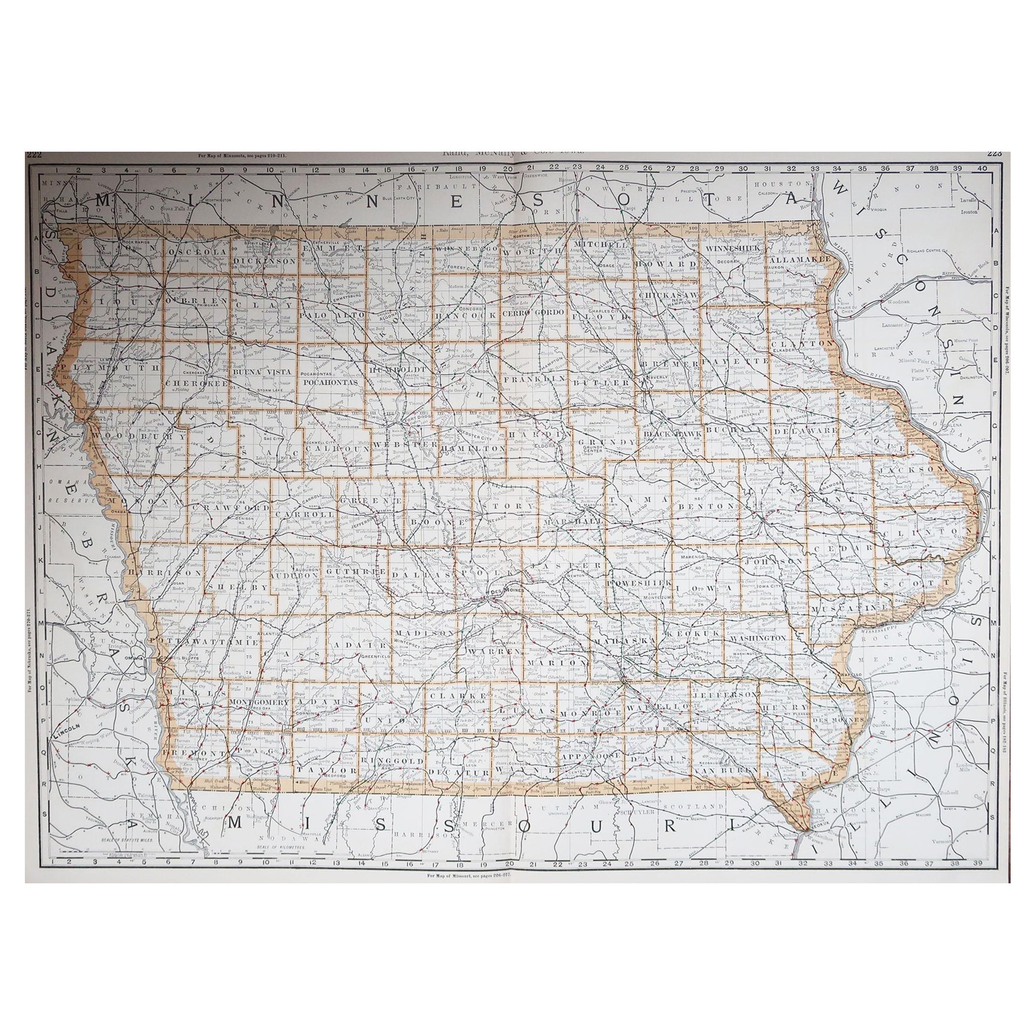
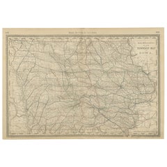
Antique Map of Iowa – The Hawkeye State with Railroads
Townships, 1888
Located in Langweer, NL
Antique Map of Iowa – Railroads, Counties & Townships, 1888
This antique engraved map of Iowa, published in 1888 by Rand, McNally & Co. in Chicago for their Improved Indexed Busines...
Category
Antique Late 19th Century American Maps
Materials
Paper
You May Also Like
Original Antique Map of the American State of Iowa, 1903
Located in St Annes, Lancashire
Antique map of Iowa
Published By A & C Black. 1903
Original colour
Good condition
Unframed.
Free shipping
Category
Antique Early 1900s English Maps
Materials
Paper
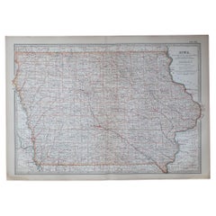
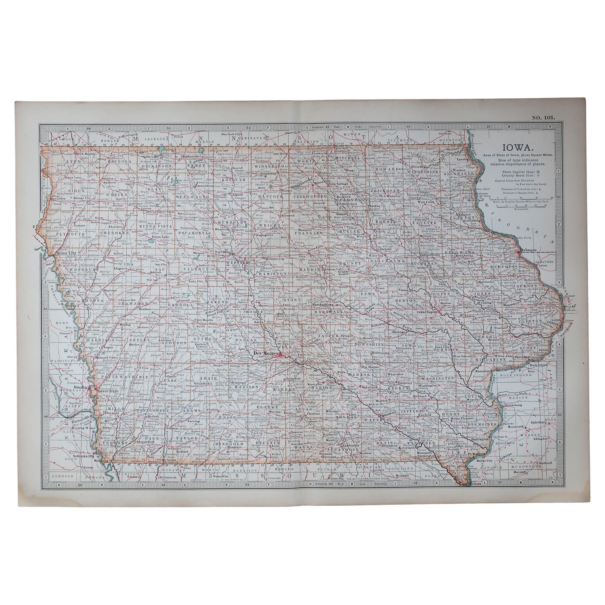
Large Original Antique Map of Iowa, USA, 1894
By Rand McNally
Co.
Located in St Annes, Lancashire
Fabulous map of Iowa.
Original color.
By Rand, McNally & Co.
Published, 1894.
Unframed.
Free shipping.
Category
Antique 1890s American Maps
Materials
Paper
Original Antique Map of the American State of Nebraska, 1903
Located in St Annes, Lancashire
Antique map of Nebraska
Published By A & C Black. 1903
Original colour
Good condition
Unframed.
Free shipping
Category
Antique Early 1900s English Maps
Materials
Paper

Large Original Antique Map of Nebraska, USA, 1894
By Rand McNally
Co.
Located in St Annes, Lancashire
Fabulous map of Nebraska
Original color
By Rand, McNally & Co.
Published, 1894
Unframed
Some slight restoration to the Gosper / Furnas area. Seen in the last image
Free shipping.
Category
Antique 1890s American Maps
Materials
Paper
Original Antique Map of the American State of Missouri ( Northern part ), 1903
Located in St Annes, Lancashire
Antique map of Missouri ( Northern Part )
Published By A & C Black. 1903
Original colour
Good condition
Unframed.
Free shipping
Category
Antique Early 1900s English Maps
Materials
Paper

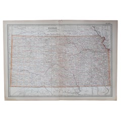
Original Antique Map of the American State of Kansas, 1903
Located in St Annes, Lancashire
Antique map of Kansas
Published By A & C Black. 1903
Original colour
Good condition
Unframed.
Free shipping
Category
Antique Early 1900s English Maps
Materials
Paper
More Ways To Browse
Map Railroad
Antique Railroad Maps
Antique Maps Of Greece
Brazilian Antiques
Turkey Map
Map Of Japan
Antique Nautical Charts
Denmark Map
Antique Macedonia
Hemispheres Map
Java Map
Miniature Maps
Antique Maps Of Wales
Swiss Antiques And Collectables
Map Stand
Caribbean Antique Furniture
West Indies Furniture
Railroad Collectibles