Items Similar to Antique Map of Oregon

Want more images or videos?
Request additional images or videos from the seller
1 of 6
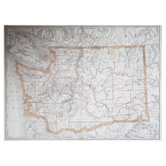
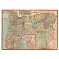
Antique Map of Oregon
$274.66
$343.3220% Off
£205.19
£256.4920% Off
€232
€29020% Off
CA$382.45
CA$478.0620% Off
A$410.92
A$513.6420% Off
CHF 220.46
CHF 275.5720% Off
MX$4,841.06
MX$6,051.3320% Off
About the Item
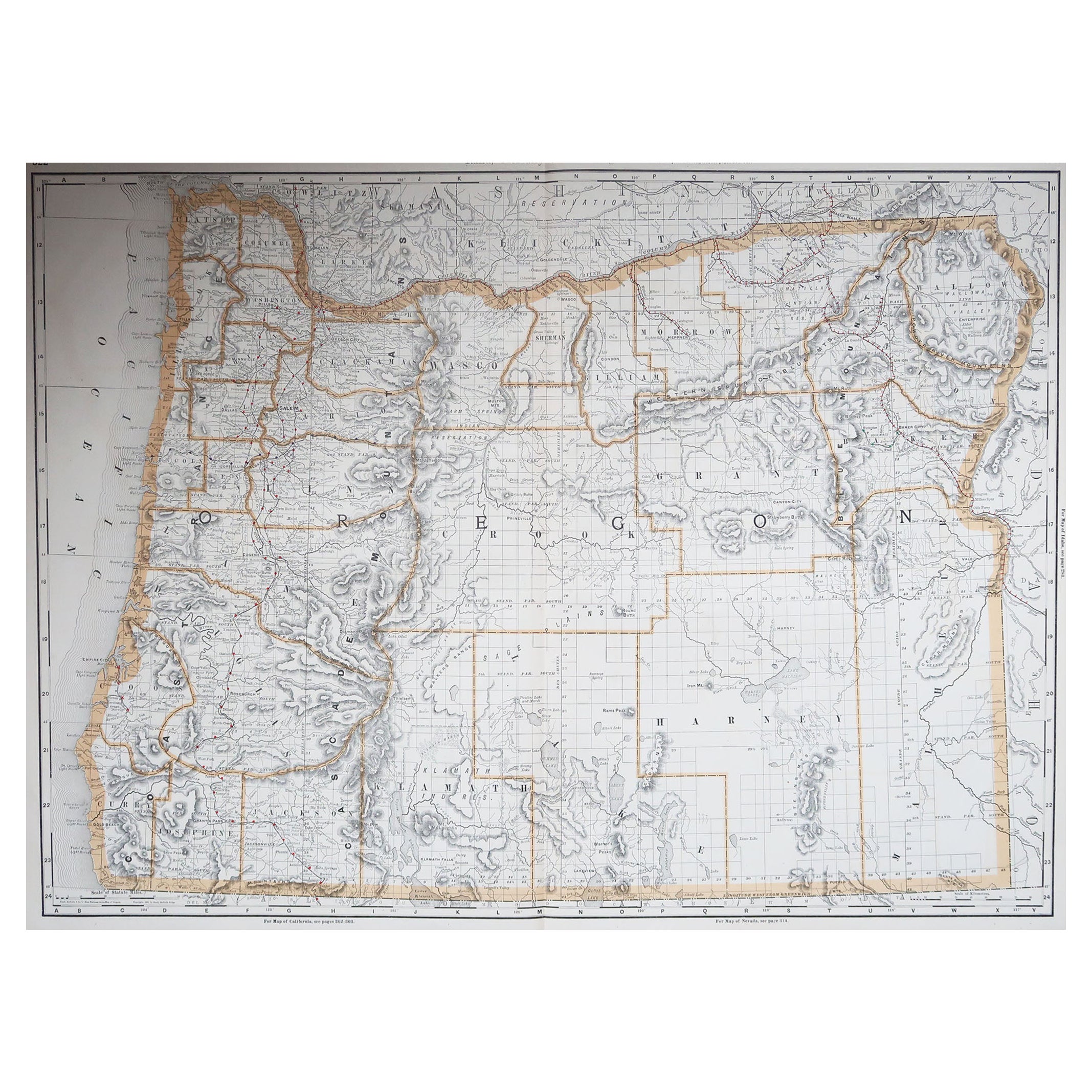
Antique map titled 'Oregon'. Original antique map of Oregon, United States. This print originates from 'Encyclopaedia Britannica', Ninth Edition. Published 1884.
The Encyclopædia Britannica has been published continuously since 1768, appearing in fifteen official editions. Several editions have been amended with multi-volume "supplements" (3rd, 5th/6th), consisted of previous editions with added supplements (10th, and 12th/13th) or gone drastic re-organizations (15th). In recent years, digital versions of the Britannica have been developed, both online and on optical media. Since the early 1930s, the Britannica has developed several "spin-off" products to leverage its reputation as a reliable reference work and educational tool. The Encyclopedia as known up to 2012 was incurring unsustainable losses and the print editions were ended, but it continues on the Internet.
- Dimensions:Height: 10.63 in (27 cm)Width: 8.27 in (21 cm)Depth: 0.02 in (0.5 mm)
- Materials and Techniques:
- Period:
- Date of Manufacture:1884
- Condition:Wear consistent with age and use. General age-related toning, minor wear. Blank verso. Please study image carefully.
- Seller Location:Langweer, NL
- Reference Number:Seller: BG-13321-121stDibs: LU3054331250982
About the Seller
5.0
Recognized Seller
These prestigious sellers are industry leaders and represent the highest echelon for item quality and design.
Platinum Seller
Premium sellers with a 4.7+ rating and 24-hour response times
Established in 2009
1stDibs seller since 2017
2,836 sales on 1stDibs
Typical response time: 1 hour
- ShippingRetrieving quote...Shipping from: Langweer, Netherlands
- Return Policy
More From This Seller
View AllAntique Map of the United States
North West
by Johnston,
1909
Located in Langweer, NL
Antique map titled 'United States of North America'. Original antique map of the United States of North America ( North West ). This map originates from the ‘Royal Atlas of Modern Ge...
Category
Early 20th Century Maps
Materials
Paper

$236 Sale Price
20% Off
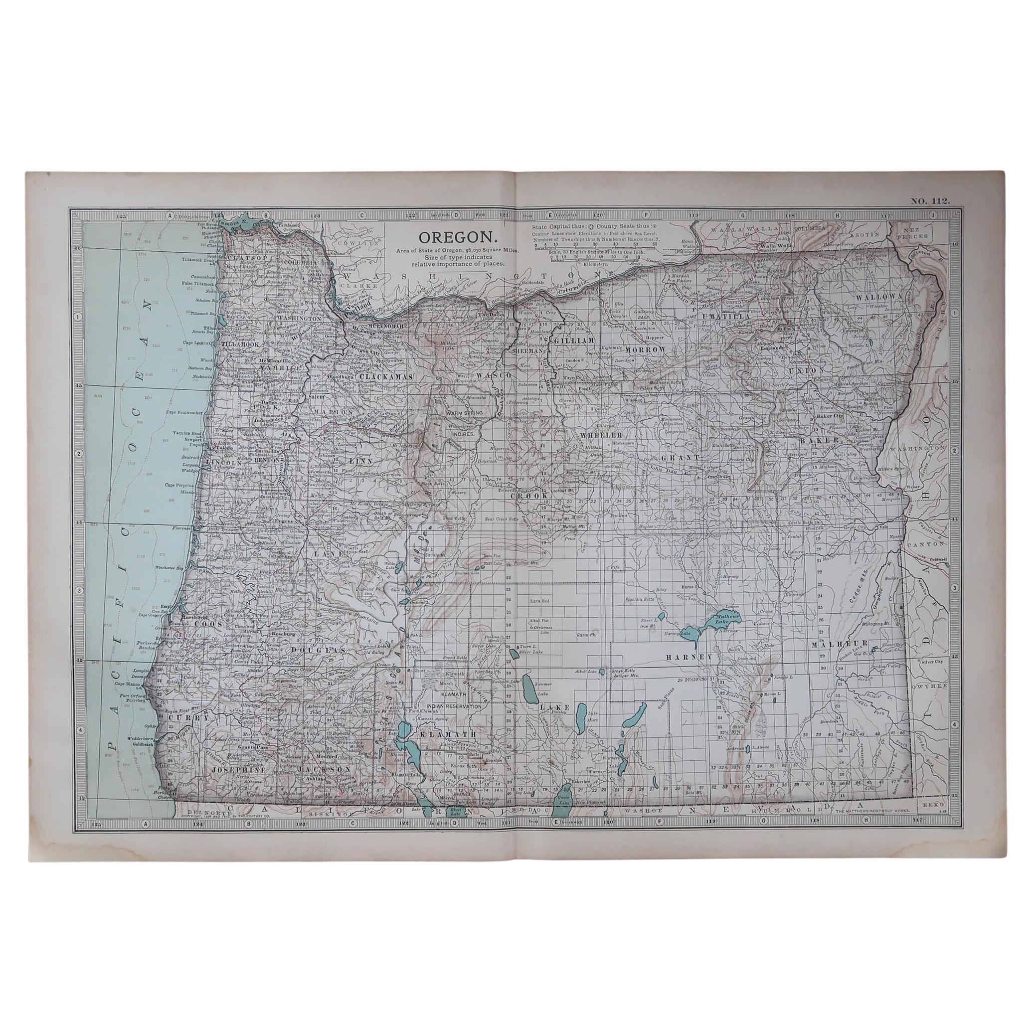
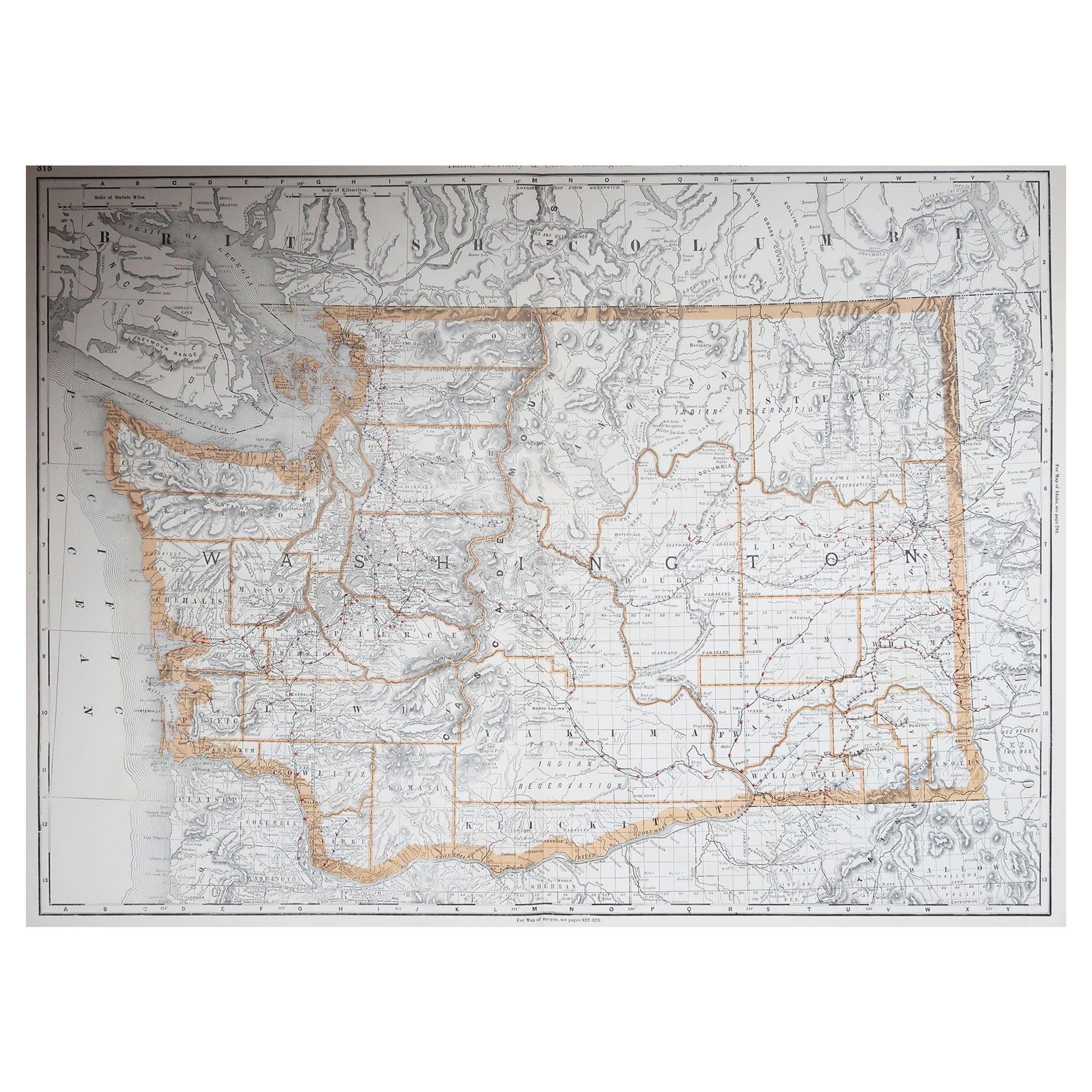
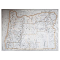
1888 Antique Map of Oregon – Railroads, Counties
Native Indian Reservations
Located in Langweer, NL
Antique Map of Oregon – Railroads, Indian Reservations & Counties, 1888
This antique engraved map presents the state of Oregon in 1888, a time when the Pacific Northwest was rapidly...
Category
Antique Late 19th Century American Maps
Materials
Paper
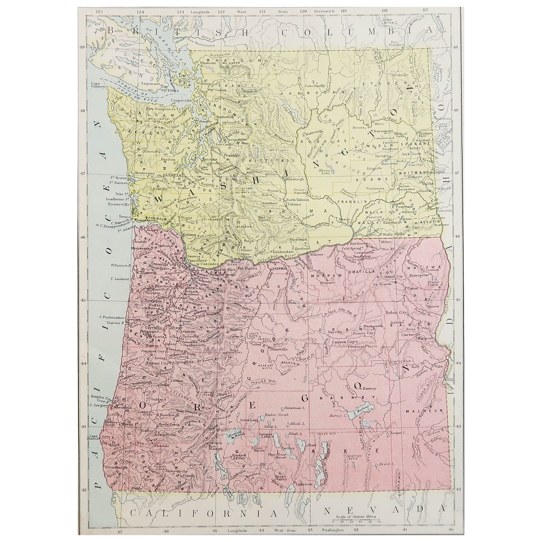
Antique Map of The United States of North America, Pacific States, 1882
Located in Langweer, NL
The map is from the same 1882 Blackie Atlas and focuses on the Pacific States of the United States of America during that period. Here are some details and historical context about t...
Category
Antique 1880s Maps
Materials
Paper

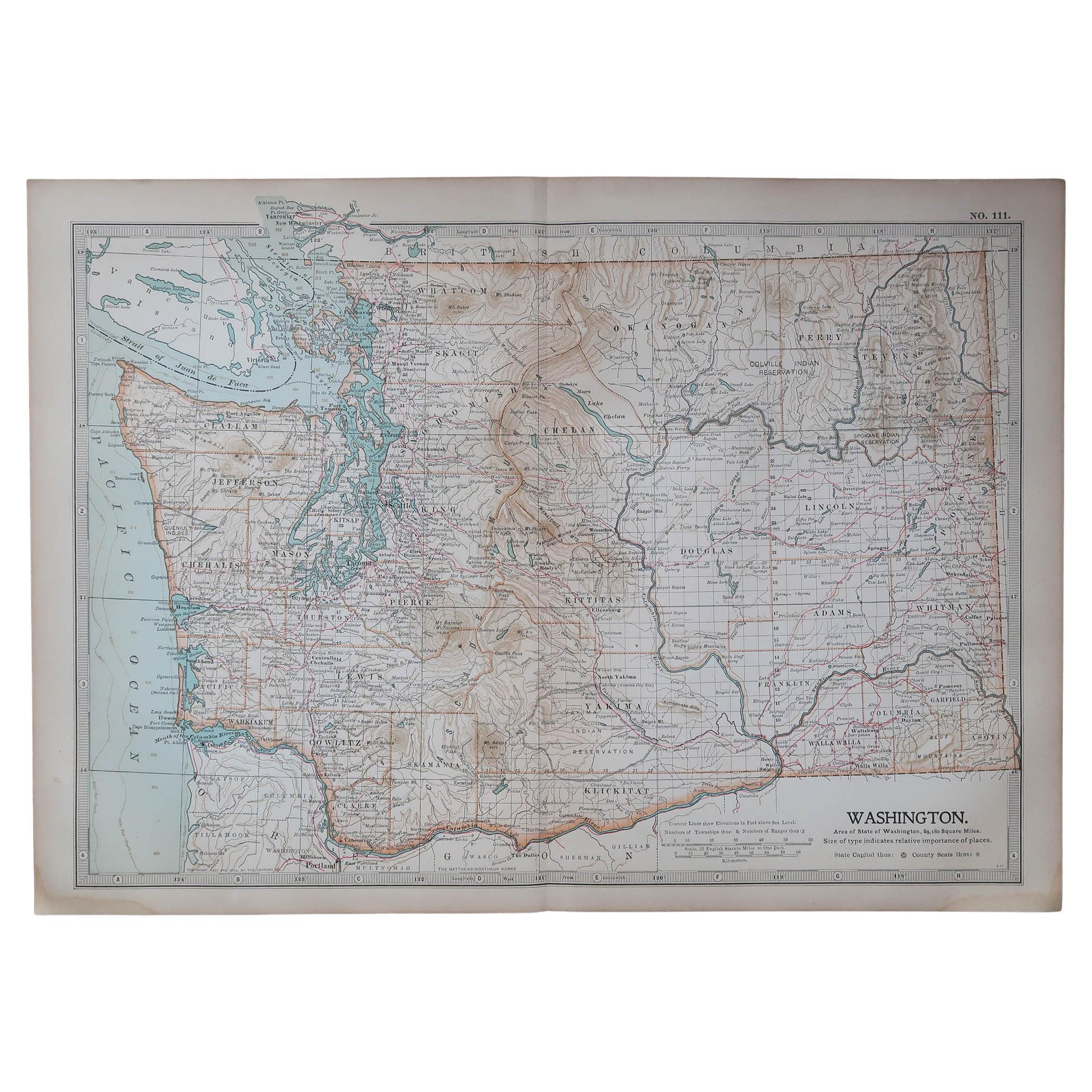
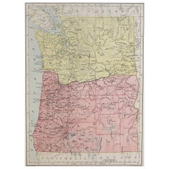
Washington Oregon Idaho Map – Johnson, Hand-Colored, c.1864
Located in Langweer, NL
Johnson’s Washington Oregon Idaho Map, USA c.1864 – Hand-Colored
This is a finely engraved and hand-colored map titled Johnson’s Washington, Oregon, and Idaho, published by Johnson ...
Category
Antique Mid-19th Century American Maps
Materials
Paper
Antique Map of Part of the United States Including Lower California
Arizona
Located in Langweer, NL
Antique map of part of the United States of America including Lower California, Arizona and part of Mexico. This map was part of a set of six individual sheets with maps of the Unite...
Category
Antique Late 19th Century Maps
Materials
Paper

$416 Sale Price
20% Off
Colorful 1915 Road Map of Oregon with Portland Inset
Index – Geographical Pub.
Located in Langweer, NL
Colorful 1915 Road Map of Oregon with Portland Inset & Index – Geographical Pub.
Description:
This vibrant and information-rich folding map of Oregon, titled "Premier Series Oregon"...
Category
Vintage 1910s Maps
Materials
Paper
You May Also Like
Original Antique Map of the American State of Oregon, 1889
Located in St Annes, Lancashire
Great map of Oregon
Drawn and Engraved by W. & A.K. Johnston
Published By A & C Black, Edinburgh.
Original colour
Unframed.
Category
Antique 1880s Scottish Victorian Maps
Materials
Paper
Original Antique Map of the American State of Washington, 1889
Located in St Annes, Lancashire
Great map of Washington
Drawn and Engraved by W. & A.K. Johnston
Published By A & C Black, Edinburgh.
Original colour
Unframed.
Category
Antique 1880s Scottish Victorian Maps
Materials
Paper

Original Antique Map of the American State of Oregon, 1903
Located in St Annes, Lancashire
Antique map of Oregon
Published By A & C Black. 1903
Original colour
Good condition
Unframed.
Free shipping
Category
Antique Early 1900s English Maps
Materials
Paper

Original Antique Map of the American State of Washington, 1903
Located in St Annes, Lancashire
Antique map of Washington
Published By A & C Black. 1903
Original colour
Good condition
Unframed.
Free shipping
Category
Antique Early 1900s English Maps
Materials
Paper

Large Original Antique Map of Oregon, USA, 1894
By Rand McNally
Co.
Located in St Annes, Lancashire
Fabulous map of Oregon.
Original color.
By Rand, McNally & Co.
Published, 1894.
Unframed.
Free shipping.
Category
Antique 1890s American Maps
Materials
Paper
Large Original Antique Map of The State of Washington, USA, 1894
By Rand McNally
Co.
Located in St Annes, Lancashire
Fabulous map of Washington.
Original color.
By Rand, McNally & Co.
Published, 1894.
Unframed.
Free shipping.
Category
Antique 1890s American Maps
Materials
Paper