Items Similar to Antique Map of Polynesia and Australasia by Neele, 1825


Want more images or videos?
Request additional images or videos from the seller
1 of 5
Antique Map of Polynesia and Australasia by Neele, 1825
$142.65
£106.17
€120
CA$197.84
A$212.99
CHF 114.06
MX$2,566.48
NOK 1,439.14
SEK 1,317.05
DKK 914.62
About the Item
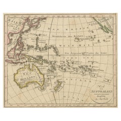
Antique map titled 'Polynesia and Australasia'. It shows Australia (New Holland), part of Asia, New Zealand and many islands. This map originates from 'Encyclopedia Londinensis'.
- Dimensions:Height: 8.67 in (22 cm)Width: 11.23 in (28.5 cm)Depth: 0.02 in (0.5 mm)
- Materials and Techniques:
- Period:
- Date of Manufacture:1825
- Condition:Wear consistent with age and use. General age-related toning. Please study images carefully.
- Seller Location:Langweer, NL
- Reference Number:Seller: BG-100631stDibs: LU3054316252871
About the Seller
5.0
Recognized Seller
These prestigious sellers are industry leaders and represent the highest echelon for item quality and design.
Platinum Seller
Premium sellers with a 4.7+ rating and 24-hour response times
Established in 2009
1stDibs seller since 2017
2,828 sales on 1stDibs
Typical response time: 1 hour
- ShippingRetrieving quote...Shipping from: Langweer, Netherlands
- Return Policy
More From This Seller
View AllAntique Map of Oceania by Balbi
1847
Located in Langweer, NL
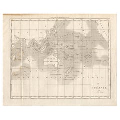
Antique map titled 'Océanie'. Original antique map of Oceania. This map originates from 'Abrégé de Géographie (..)' by Adrien Balbi. Published 1847.
Category
Antique Mid-19th Century Maps
Materials
Paper

$142 Sale Price
20% Off
Antique Map of Polynesia by Walker, 1840
Located in Langweer, NL
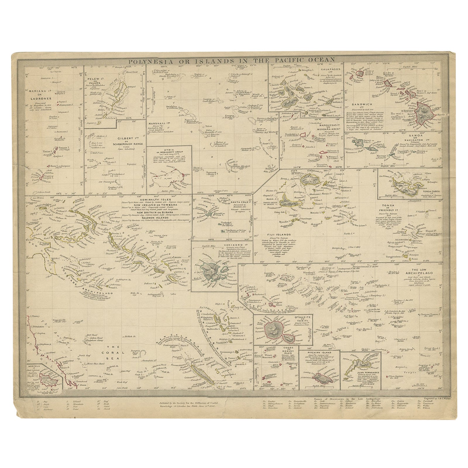
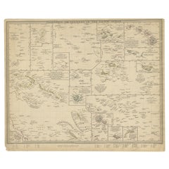
Antique map titled 'Polynesia or Islands in the Pacific Ocean'. This map depicts various islands including the Lousiade Archipelago, Tahiti, Pitcairn Island, Juan Fernandez, The low ...
Category
Antique 19th Century Maps
Materials
Paper
Antique Map of Oceania by Pierre M. Lapie, Paper, 1842, 19th Century
Located in Langweer, NL
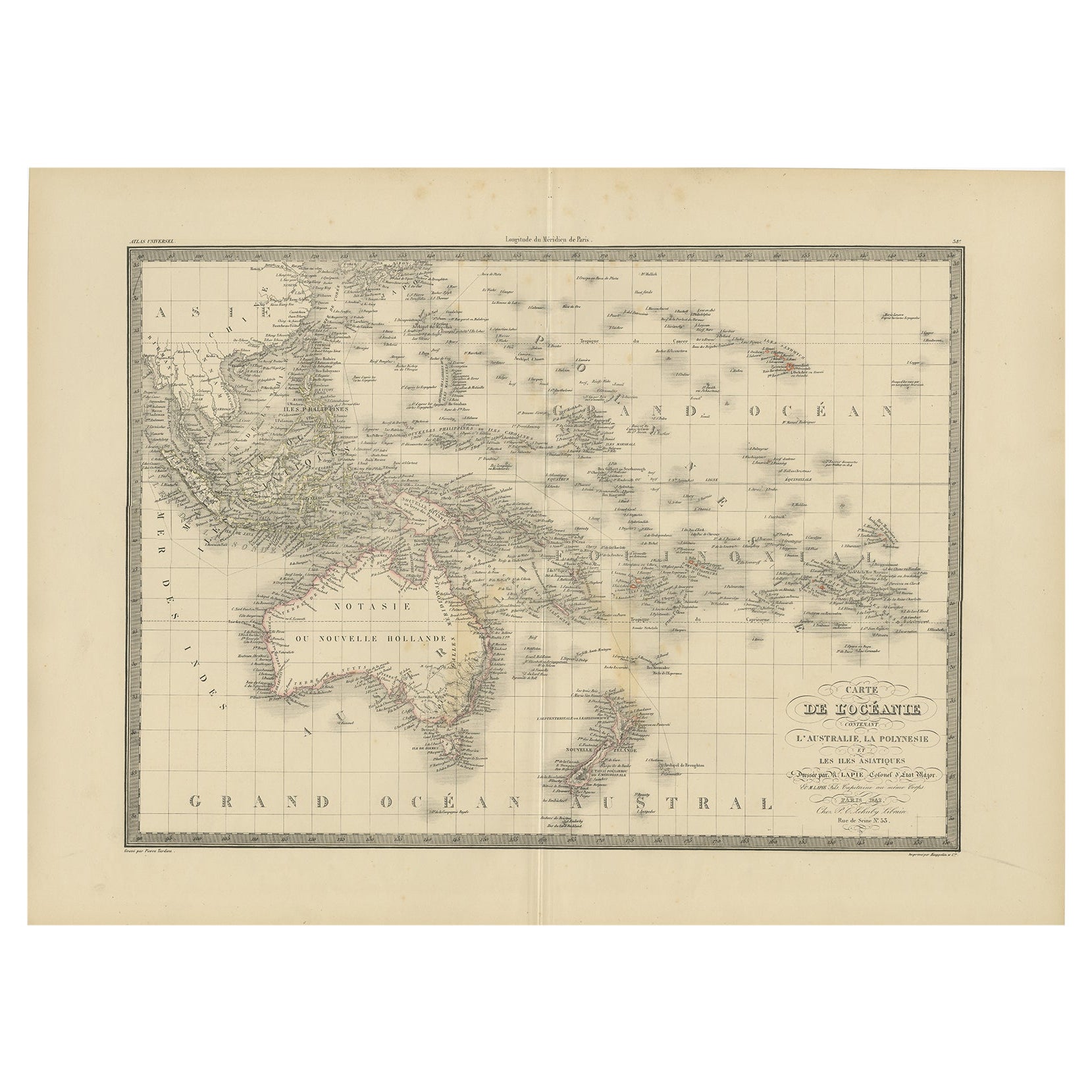
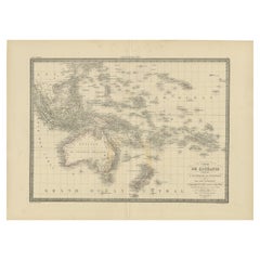
Antique map titled 'Carte de l'Océanie contenant l'Australie, la Polynesie et les Iles Asiatiques'. Map of Oceania including Australia, Polynesia and several islands of Asia. This ma...
Category
Antique 19th Century French Maps
Materials
Paper
Antique Map of Oceania by Didot, 1836
Located in Langweer, NL
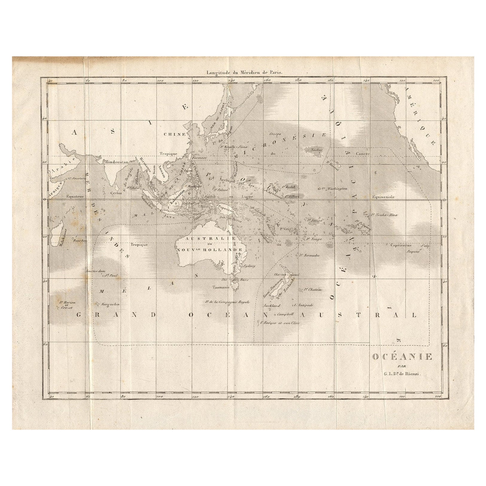
Antique map titled 'Oceanie par G.L.Dy. De Rienzi'. Map of the Oceania region, around Australia. This print originates from M.G.L. Domeny de Rienzi's 'Oceanie, ou Cinquieme Partie du...
Category
Antique 19th Century Maps
Materials
Paper
$83 Sale Price
20% Off
Antique Map of Oceania and the Pacific Ocean, Australia and New Zealand, 1826
Located in Langweer, NL
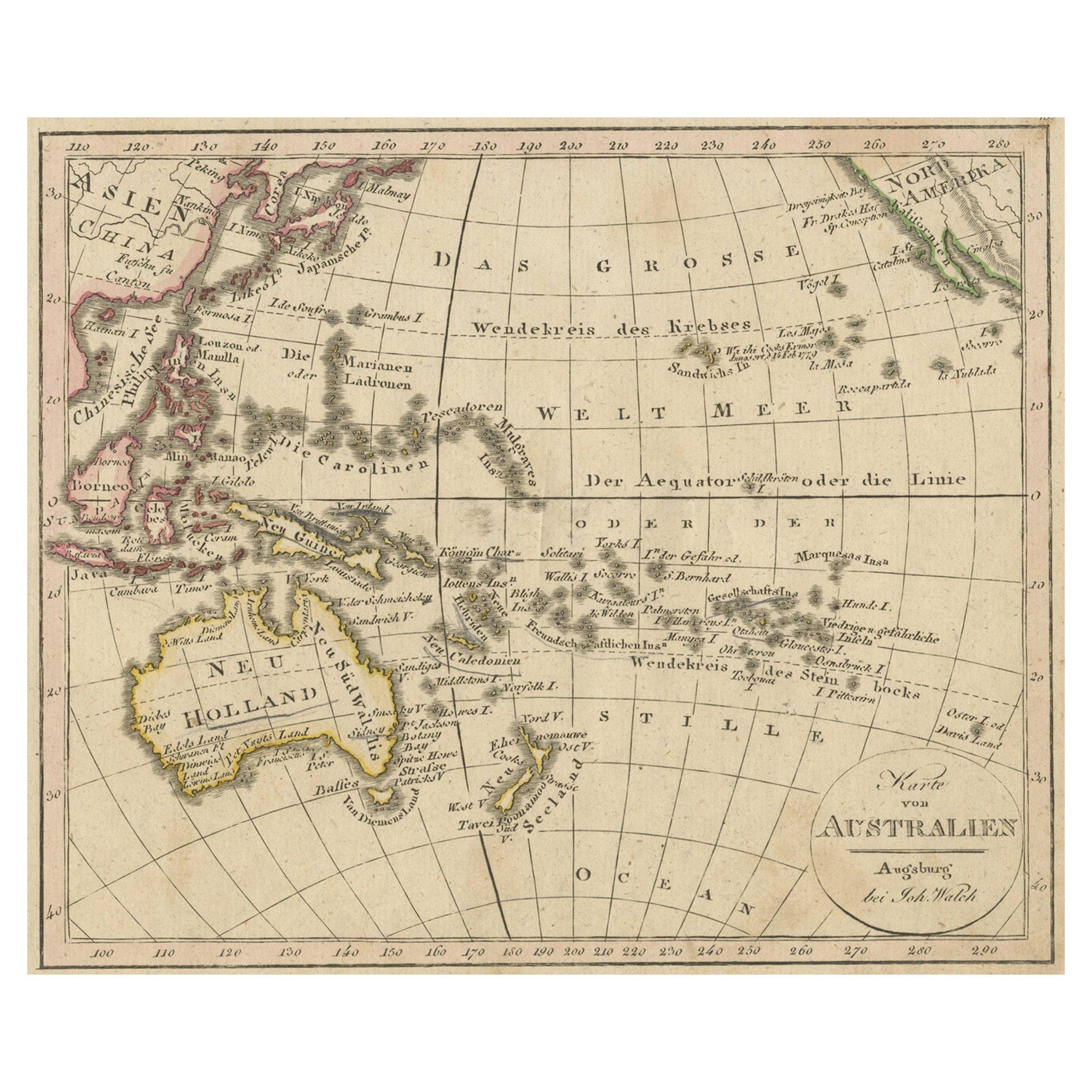
Antique map of Australia titled 'Karte von Australien'. Old map of Australia and New Zealand. Published in Walch's 'Neuester Schul-Atlas'.
Artists and Engravers: Johann, or Johan...
Category
Antique 19th Century Maps
Materials
Paper
Antique Map of Australasia, New Zealand, Polynesia
the Pacific Ocean, 1840
Located in Langweer, NL
Antique map titled 'The Pacific Ocean'.
This map depicts Australasia, New Zealand, Polynesia and islands in the Pacific Ocean including the Sandwich Islands.
Artists and Engravers: Published by the Society for the Diffusion of Useful Knowledge, 1840. Engraved by J. & C. Walker.
Condition:
Good, general age-related toning. Few tiny tears...
Category
Antique 1840s Maps
Materials
Abalone, Paper

You May Also Like
Ancient Map of Oceania - Original Etching - 19th century
Located in Roma, IT
This Map of Oceania is an etching realized in the 19th century.
The state of preservation of the artwork is good. At the top of the paper, the inscription “Longitudine del Meridiano...
Category
19th Century More Prints
Materials
Etching

Large Original Antique Map of Australia by Sidney Hall, 1847
Located in St Annes, Lancashire
Great map of Australia
Drawn and engraved by Sidney Hall
Steel engraving
Original colour outline
Published by A & C Black. 1847
Unframed
Free shipping.
Category
Antique 1840s Scottish Maps
Materials
Paper

Large Original Antique Map of The Pacific Ocean, Fullarton, C.1870
Located in St Annes, Lancashire
Great map of The Pacific Ocean
From the celebrated Royal Illustrated Atlas
Lithograph by Swanston. Original color.
Published by Fullarton,...
Category
Antique 1870s Scottish Maps
Materials
Paper

Original Antique Map of Australia by Dower, circa 1835
Located in St Annes, Lancashire
Nice map of Australia
Drawn and engraved by J.Dower
Published by Orr & Smith. C.1835
Unframed.
Free shipping
Category
Antique 1830s English Maps
Materials
Paper

Original Antique Map of South East Asia by Thomas Clerk, 1817
Located in St Annes, Lancashire
Great map of South East Asia
Copper-plate engraving
Drawn and engraved by Thomas Clerk, Edinburgh.
Published by Mackenzie And Dent, 1817
Unframed.
Category
Antique 1810s English Maps
Materials
Paper

Original Antique Map of The World by Thomas Clerk, 1817
Located in St Annes, Lancashire
Great map of The Eastern and Western Hemispheres
On 2 sheets
Copper-plate engraving
Drawn and engraved by Thomas Clerk, Edinburgh.
Published by Mackenzie And Dent, 1817
...
Category
Antique 1810s English Maps
Materials
Paper

More Ways To Browse
New Zealand Map
Antique English Maps
Indonesia Map
Ancient Maps
Antique Mining
Antique Atlas Furniture
Antique Maps Indonesia
Map Of India
China Map
Victorian Furniture 1920
Antique Maps Amsterdam
Antique Maps Of Russia
19th Century Map Of Africa
Map Of Britain
Antique Oregon
Bali Wood
Railroad Furniture
Antique Malaysia