Items Similar to Antique Map of the Province of Gelderland, the Netherlands, c.1690


Want more images or videos?
Request additional images or videos from the seller
1 of 5
Antique Map of the Province of Gelderland, the Netherlands, c.1690
$599.75
£444.25
€499
CA$820.43
A$894.23
CHF 472.77
MX$10,764.86
NOK 6,000.66
SEK 5,501.38
DKK 3,802.10
About the Item
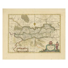
Antique map titled 'Ducatus Geldriae novissima descriptio'. Map of Gelderland, The Netherlands. Shows many cities (like Arnhem, Nijmegen, Eindhoven, Zutphen, Zwolle, etc), roads, rivers, woods, regions, etc. Artists and Engravers: Published by G. Valk en P. Schenk.
Artist: Published by G. Valk en P. Schenk.
Condition: Very good, general age-related toning. A few small tears. Beautiful original, contemporary hand coloring. Please study image carefully.
Date: c.1690
Overall size: 063 x 45 cm.
Image size: 51 x 38 cm.
We sell original antique maps to collectors, historians, educators and interior decorators all over the world. Our collection includes a wide range of authentic antique maps from the 16th to the 20th centuries. Buying and collecting antique maps is a tradition that goes back hundreds of years. Antique maps have proved a richly rewarding investment over the past decade, thanks to a growing appreciation of their unique historical appeal. Today the decorative qualities of antique maps are widely recognized by interior designers who appreciate their beauty and design flexibility. Depending on the individual map, presentation, and context, a rare or antique map can be modern, traditional, abstract, figurative, serious or whimsical. We offer a wide range of authentic antique maps for any budget.
- Dimensions:Height: 17.72 in (45 cm)Width: 24.81 in (63 cm)Depth: 0 in (0.01 mm)
- Materials and Techniques:
- Period:
- Date of Manufacture:circa 1690
- Condition:
- Seller Location:Langweer, NL
- Reference Number:Seller: BG-111081stDibs: LU3054326282502
About the Seller
5.0
Recognized Seller
These prestigious sellers are industry leaders and represent the highest echelon for item quality and design.
Platinum Seller
Premium sellers with a 4.7+ rating and 24-hour response times
Established in 2009
1stDibs seller since 2017
2,813 sales on 1stDibs
Typical response time: 1 hour
- ShippingRetrieving quote...Shipping from: Langweer, Netherlands
- Return Policy
More From This Seller
View AllAntique Map of the Region of Zutphen in Overijssel, The Netherlands, 1683
Located in Langweer, NL
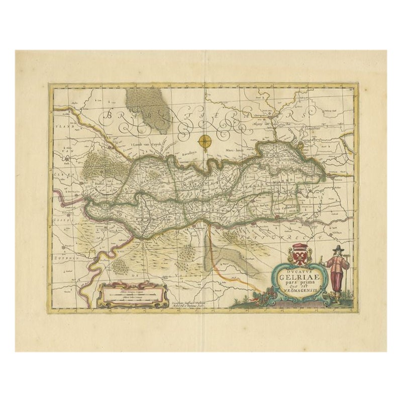
Antique map titled 'Ducatus Gelriae pars prima Quae est Neomagensis'. Antique map of the region of Zutphen, Gelderland, the Netherlands. This map originates from 'The English Atlas' ...
Category
Antique 17th Century Maps
Materials
Paper
Antique Map of The Dutch Province of Groningen by De Wit, c.1680
Located in Langweer, NL
Antique map titled 'Tabulae dominii Groeningae quae et complecitur maximam partem Drentiae Emendata'.
Old map of the province of Groningen, the Netherlands. With an inset map of th...
Category
Antique 17th Century Maps
Materials
Paper

Antique Map of the Province Groningen in The Netherlands, c.1680
Located in Langweer, NL
Antique map titled 'Groningae et Omlandiae Dominium vulgo de Provincie van Stadt en Lande'.
Old map of the province of Groningen, the Netherlands. This map originates from 'Germani...
Category
Antique 17th Century Maps
Materials
Paper

Antique Map of Overijssel by Van der Aa, c.1715
Located in Langweer, NL
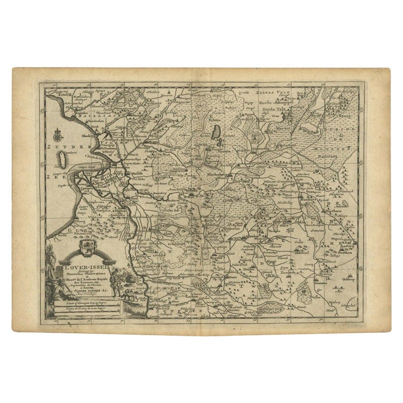
Antique map titled 'L'Over-Issel'. This map depicts the Dutch province Overijssel. This map originates from 'Nouvel Atlas, très exact et fort commode pour toutes sortes de personnes,...
Category
Antique 18th Century Maps
Materials
Paper
$182 Sale Price
20% Off
Antique Map of the Province of Overijssel by Coronelli, c.1692
Located in Langweer, NL
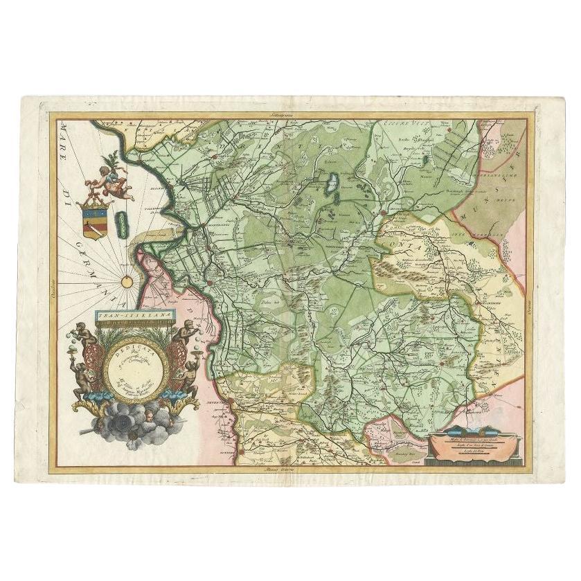
Antique map titled 'Tran-siselana' Splendid detailed and decorative map of the province of Overijssel in the Netherlands by Vincenzo Coronelli. An elaborate title cartouche garlanded...
Category
Antique 17th Century Maps
Materials
Paper

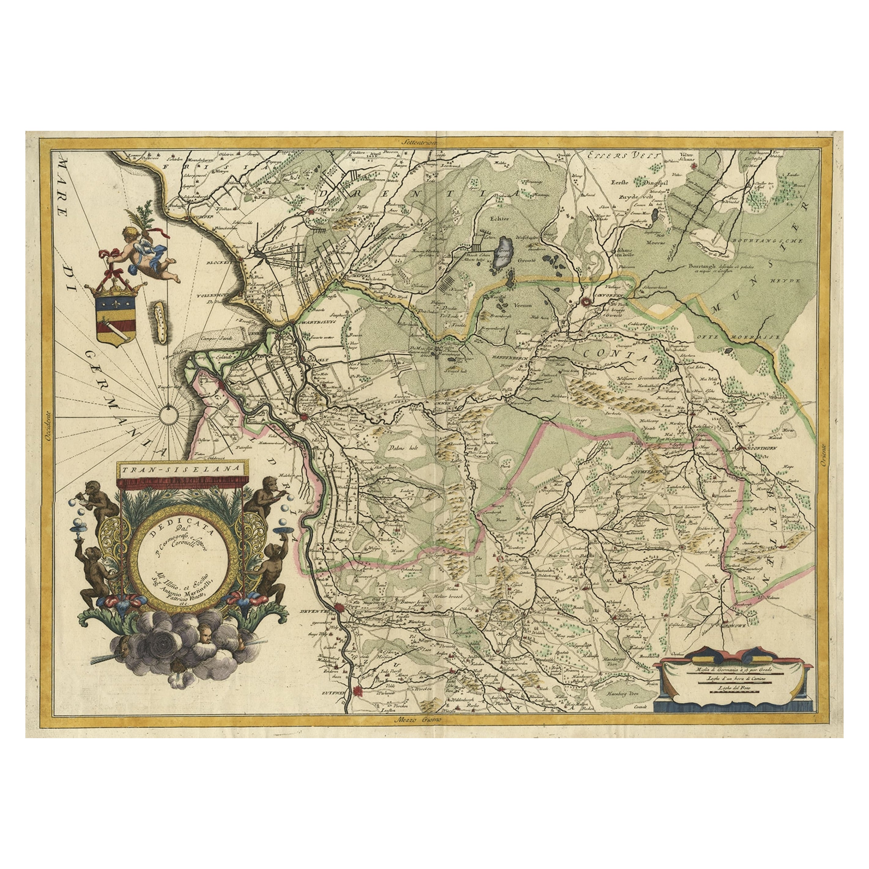
Splendid Detailed Map of the Province of Overijssel in the Netherlands, ca.1692
Located in Langweer, NL
Antique map titled 'Tran-siselana'. Splendid detailed and decorative map of the province of Overijssel in the Netherlands by Vincenzo Coronelli. An elaborate title cartouche garlande...
Category
Antique 1690s Maps
Materials
Paper
$1,469 Sale Price
24% Off
You May Also Like
1752 Vaugoundy Map of Flanders : Belgium, France, and the Netherlands, Ric.a002
Located in Norton, MA
Large Vaugoundy Map of Flanders:
Belgium, France, and the Netherlands
Colored -1752
Ric.a002
Description: This is a 1752 Didier Robert de Vaugondy map of Flanders. The map de...
Category
Antique 17th Century Unknown Maps
Materials
Paper

1635 Willem Blaeu Map of Northern France"Comitatvs Bellovacvm" Ric.a08
Located in Norton, MA
1635 Willem Blaeu map of northern France, entitled.
"Comitatvs Bellovacvm Vernacule Beavvais,"
Colored
Ric.a008
“COMITATVS BELLOVACVM…” Amsterdam: W...
Category
Antique 17th Century Unknown Maps
Materials
Paper

1643 Willem&Joan Blaeu Map NW Flanders "Flandriae Teutonicae Pars Prientalior
Located in Norton, MA
1643 Willem and Joan Blaeu map of northwest Flanders, entitled
"Flandriae Teutonicae Pars Prientalior,"
Ric0012
" Authentic" - Map of the northwest Fl...
Category
Antique 17th Century Dutch Maps
Materials
Paper

17th Century Hand Colored Map of the Liege Region in Belgium by Visscher
By Nicolaes Visscher II
Located in Alamo, CA
An original 17th century map entitled "Leodiensis Episcopatus in omnes Subjacentes Provincias distincté divisusVisscher, Leodiensis Episcopatus" by Nicolaes Visscher II, published in Amsterdam in 1688. The map is centered on Liege, Belgium, includes the area between Antwerp, Turnhout, Roermond, Cologne, Trier and Dinant.
This attractive map is presented in a cream-colored mat measuring 30" wide x 27.5" high. There is a central fold, as issued. There is minimal spotting in the upper margin and a tiny spot in the right lower margin, which are under the mat. The map is otherwise in excellent condition.
The Visscher family were one of the great cartographic families of the 17th century. Begun by Claes Jansz Visscher...
Category
Antique Late 17th Century Dutch Maps
Materials
Paper

$940 Sale Price
20% Off
1657 Janssonius Map of Vermandois and Cappelle, Ric. A-004
Located in Norton, MA
1657 Janssonius map of
Vermandois and Cappelle
Ric.a004
Description: Antique map of France titled 'Descriptio Veromanduorum - Gouvernement de la Cappelle'. Two detailed maps o...
Category
Antique 17th Century Unknown Maps
Materials
Paper

1640 Joan Bleau Map Entitled"Diocecese de rheims et le pais de rethel, " Eic.a011
Located in Norton, MA
1640 Joan Bleau map entitled
"Diocecese de rheims et le pais de rethel,"
Ric.a011
OAN BLAEU
Diocecese de Rheims, et le pais de Rethel.
Handcolored engraving, c.1640.
...
Category
Antique 17th Century Dutch Maps
Materials
Paper

More Ways To Browse
Maps Balkans
Antique Map Of Jerusalem
Map Of Corsica
Solomons Temple
Antique Map Of Korea
Map Of Jerusalem
Prussia Map
Antique Maps Caribbean Islands
Antique Wine Maps
Used Furniture Wisconsin
Antique Furniture Michigan
Antique Maps Of Cape Of Good Hope
Antique Maps Of Texas
Antique Virginia Furniture
Otto Petri
American West Antiques
Antique Furniture Brunswick
Antique Map Ceylon