Items Similar to Antique Map of the Region of Hohenstein by Schreiber, 1749


Want more images or videos?
Request additional images or videos from the seller
1 of 5
Antique Map of the Region of Hohenstein by Schreiber, 1749
$111.23
£82.60
€93
CA$152.82
A$166.14
CHF 88.09
MX$1,991.65
NOK 1,119.58
SEK 1,025.68
DKK 708.96
About the Item
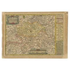
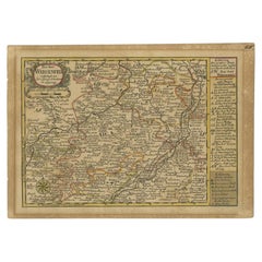
Antique map titled 'Aemter Stolpen, Hohenstein mit Lohmen'. Map of the region of Hohenstein, Germany. This map originates from 'Atlas Selectus von allen Konigreichen und Landern der Welt' by Johann Georg Schreiber.
Artists and Engravers: Johann Georg Schreiber, a German cartographer and geographer, was born 1676 and lived in Leipzig. His only work was the Atlas Selectus published first 1740 and reissued 1749. He died in 1745.
Condition: Fair, original/contemporary hand coloring. Strong toning, minor wear. Blank verso, please study image carefully.
Date: 1749
Overall size: 27 x 19 cm.
Image size: 23 x 16 cm.
We sell original antique maps to collectors, historians, educators and interior decorators all over the world. Our collection includes a wide range of authentic antique maps from the 16th to the 20th centuries. Buying and collecting antique maps is a tradition that goes back hundreds of years. Antique maps have proved a richly rewarding investment over the past decade, thanks to a growing appreciation of their unique historical appeal. Today the decorative qualities of antique maps are widely recognized by interior designers who appreciate their beauty and design flexibility. Depending on the individual map, presentation, and context, a rare or antique map can be modern, traditional, abstract, figurative, serious or whimsical. We offer a wide range of authentic antique maps for any budget.
- Dimensions:Height: 7.49 in (19 cm)Width: 10.63 in (27 cm)Depth: 0 in (0.01 mm)
- Materials and Techniques:
- Period:
- Date of Manufacture:1749
- Condition:
- Seller Location:Langweer, NL
- Reference Number:Seller: JAK-12251stDibs: LU3054327832772
About the Seller
5.0
Recognized Seller
These prestigious sellers are industry leaders and represent the highest echelon for item quality and design.
Platinum Seller
Premium sellers with a 4.7+ rating and 24-hour response times
Established in 2009
1stDibs seller since 2017
2,821 sales on 1stDibs
Typical response time: 1 hour
- ShippingRetrieving quote...Shipping from: Langweer, Netherlands
- Return Policy
More From This Seller
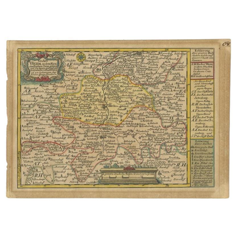
View AllAntique Map of the Region of Weida by Schreiber, 1749
By Schreiber
Located in Langweer, NL
Antique map titled 'Das Amt Weida (..)'. Map of the region of Weida, Germany. This map originates from 'Atlas Selectus von allen Konigreichen und Landern der Welt' by Johann Georg Sc...
Category
Antique 18th Century Maps
Materials
Paper
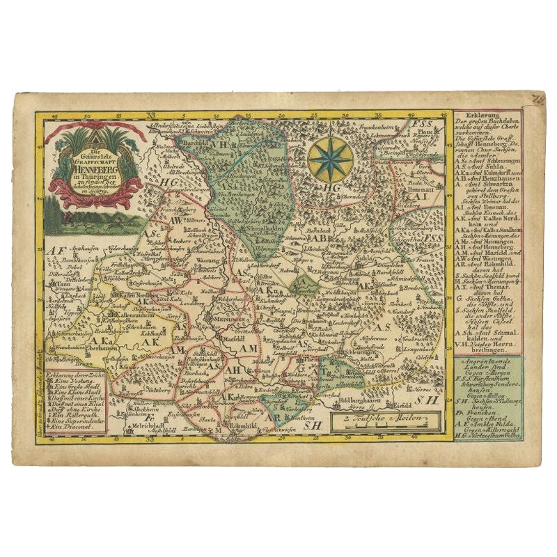
Antique Map of the Region of Henneberg by Schreiber, 1749
Located in Langweer, NL
Antique map titled 'Die Gefürstete Henneberg'. Map of the region of Henneberg, Germany. This map originates from 'Atlas Selectus von allen Konigreichen und L...
Category
Antique 18th Century Maps
Materials
Paper
Antique Map of the Region of Weißensee by Schreiber, 1749
By Schreiber
Located in Langweer, NL
Antique map titled 'Die Chursaechsischen Aemter in Thüringen gelegen Sachsenburg, Weissensee (..)'. Map of the region of Weißensee, Germany. This map originates from 'Atlas Selectus von allen...
Category
Antique 18th Century Maps
Materials
Paper
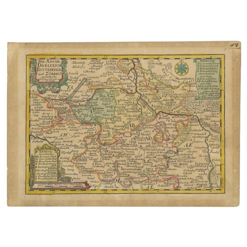
Antique Map of the Region of Dölitzsch by Schreiber, 1749
By Schreiber
Located in Langweer, NL
Antique map titled 'Die Aemter Doelitsch, Bitterfeld und Zörbig'. Map of the region of Dölitzsch, Germany. This map originates from 'Atlas Selectus von allen Konigreichen und Landern...
Category
Antique 18th Century Maps
Materials
Paper
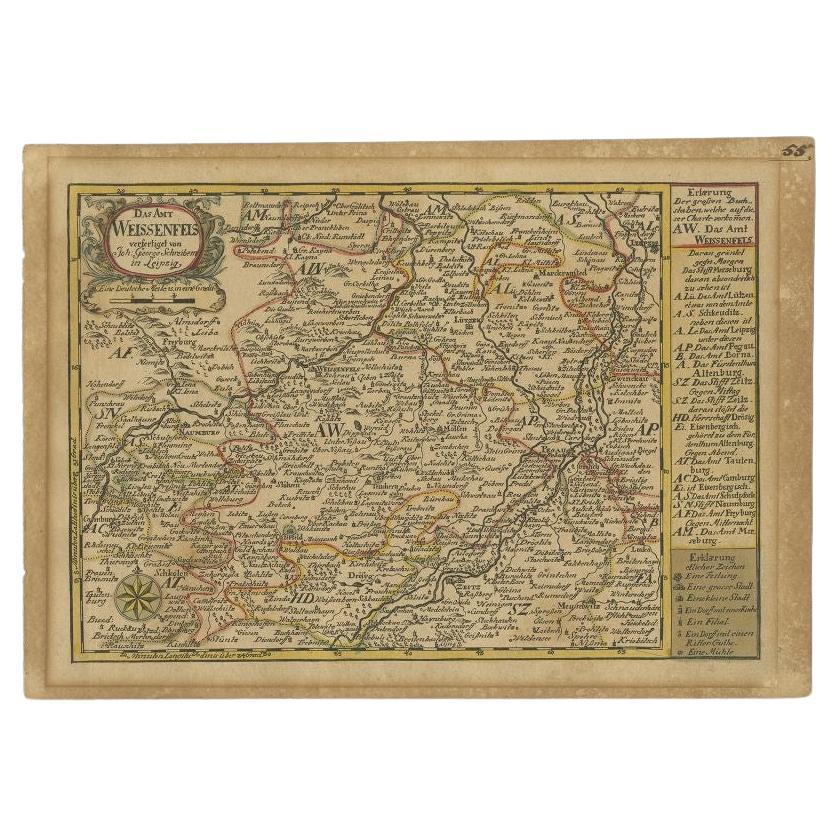
Antique Map of the Region of Weißenfels by Schreiber, 1749
By Schreiber
Located in Langweer, NL
Antique map titled 'Das Amt Weissenfels (..)'. Map of the region of Weißenfels, Germany. This map originates from 'Atlas Selectus von allen Konigreichen und Landern der Welt' by Joha...
Category
Antique 18th Century Maps
Materials
Paper
Antique Map of the Region of Zeitz in Germany, 1749
By Schreiber
Located in Langweer, NL
Antique map titled 'Das Stifft Zeitz (..)'. Map of the region of Zeitz, Germany. Zeitz is a town in the Burgenlandkreis district, in Saxony-Anhalt, Germany. It is situated on the riv...
Category
Antique 18th Century Maps
Materials
Paper

You May Also Like
17th Century Hand-Colored Map of a Region in West Germany by Janssonius
By Johannes Janssonius
Located in Alamo, CA
This attractive highly detailed 17th century original hand-colored map is entitled "Archiepiscopatus Maghdeburgensis et Anhaltinus Ducatus cum terris adjacentibus". It was published ...
Category
Antique Mid-17th Century Dutch Maps
Materials
Paper

$1,020 Sale Price
20% Off
17th Century Hand Colored Map of the Liege Region in Belgium by Visscher
By Nicolaes Visscher II
Located in Alamo, CA
An original 17th century map entitled "Leodiensis Episcopatus in omnes Subjacentes Provincias distincté divisusVisscher, Leodiensis Episcopatus" by Nicolaes Visscher II, published in Amsterdam in 1688. The map is centered on Liege, Belgium, includes the area between Antwerp, Turnhout, Roermond, Cologne, Trier and Dinant.
This attractive map is presented in a cream-colored mat measuring 30" wide x 27.5" high. There is a central fold, as issued. There is minimal spotting in the upper margin and a tiny spot in the right lower margin, which are under the mat. The map is otherwise in excellent condition.
The Visscher family were one of the great cartographic families of the 17th century. Begun by Claes Jansz Visscher...
Category
Antique Late 17th Century Dutch Maps
Materials
Paper

$940 Sale Price
20% Off
West Germany: Original Hand Colored 17th Century Map by Johannes Janssonius
By Johannes Janssonius
Located in Alamo, CA
An original hand colored copperplate engraved map entitled in Latin "Archiepiscopatus Maghdeburgensis et Anhaltinus Ducatus cum terris adjacentibus", published in Amsterdam in 1640 i...
Category
Mid-17th Century Old Masters More Prints
Materials
Engraving

18th Century Hand-Colored Homann Map of Germany, Including Frankfurt and Berlin
By Johann Baptist Homann
Located in Alamo, CA
An 18th century hand-colored map entitled "Tabula Marchionatus Brandenburgici et Ducatus Pomeraniae quae sunt Pars Septentrionalis Circuli Saxoniae Superioris" by Johann Baptist Homa...
Category
Antique Early 18th Century German Maps
Materials
Paper

$620 Sale Price
20% Off
Prussia, Poland, N. Germany, Etc: A Hand-colored 17th Century Map by Janssonius
By Johannes Janssonius
Located in Alamo, CA
This is an attractive hand-colored copperplate engraved 17th century map of Prussia entitled "Prussia Accurate Descripta a Gasparo Henneberg Erlichensi", published in Amsterdam by Joannes Janssonius in 1664. This very detailed map from the golden age of Dutch cartography includes present-day Poland, Latvia, Lithuania, Estonia and portions of Germany. This highly detailed map is embellished by three ornate pink, red, mint green and gold...
Category
Antique Mid-17th Century Dutch Maps
Materials
Paper

$1,020 Sale Price
20% Off
1657 Janssonius Map of Vermandois and Cappelle, Ric. A-004
Located in Norton, MA
1657 Janssonius map of
Vermandois and Cappelle
Ric.a004
Description: Antique map of France titled 'Descriptio Veromanduorum - Gouvernement de la Cappelle'. Two detailed maps o...
Category
Antique 17th Century Unknown Maps
Materials
Paper

More Ways To Browse
Antique Map Of Venice
Charlotte Reine
Cleveland Antique Furniture
Gambia Antique Map
Johann Baptist Homann On Sale
Magellan Map
Map Of Puerto Rico
Map Ukraine
Papua New Guinea Antique Map
Serbia Antique Map
Stanford Antique Furniture
Tipu Sultan
Used Office Furniture Cornwall
Vintage Wooden Roller
Albania Antique Map
Ancient Bible
Antique Bermuda Furniture
Antique Constellation Map