Items Similar to Antique Map of South America by Conder, c.1775


Want more images or videos?
Request additional images or videos from the seller
1 of 5
Antique Map of South America by Conder, c.1775
$329.39
$411.7420% Off
£245.90
£307.3820% Off
€277.60
€34720% Off
CA$457.62
CA$572.0220% Off
A$492.24
A$615.2920% Off
CHF 263.06
CHF 328.8320% Off
MX$5,802.05
MX$7,252.5720% Off
NOK 3,316.63
NOK 4,145.7920% Off
SEK 3,032.03
SEK 3,790.0420% Off
DKK 2,115.62
DKK 2,644.5320% Off
About the Item
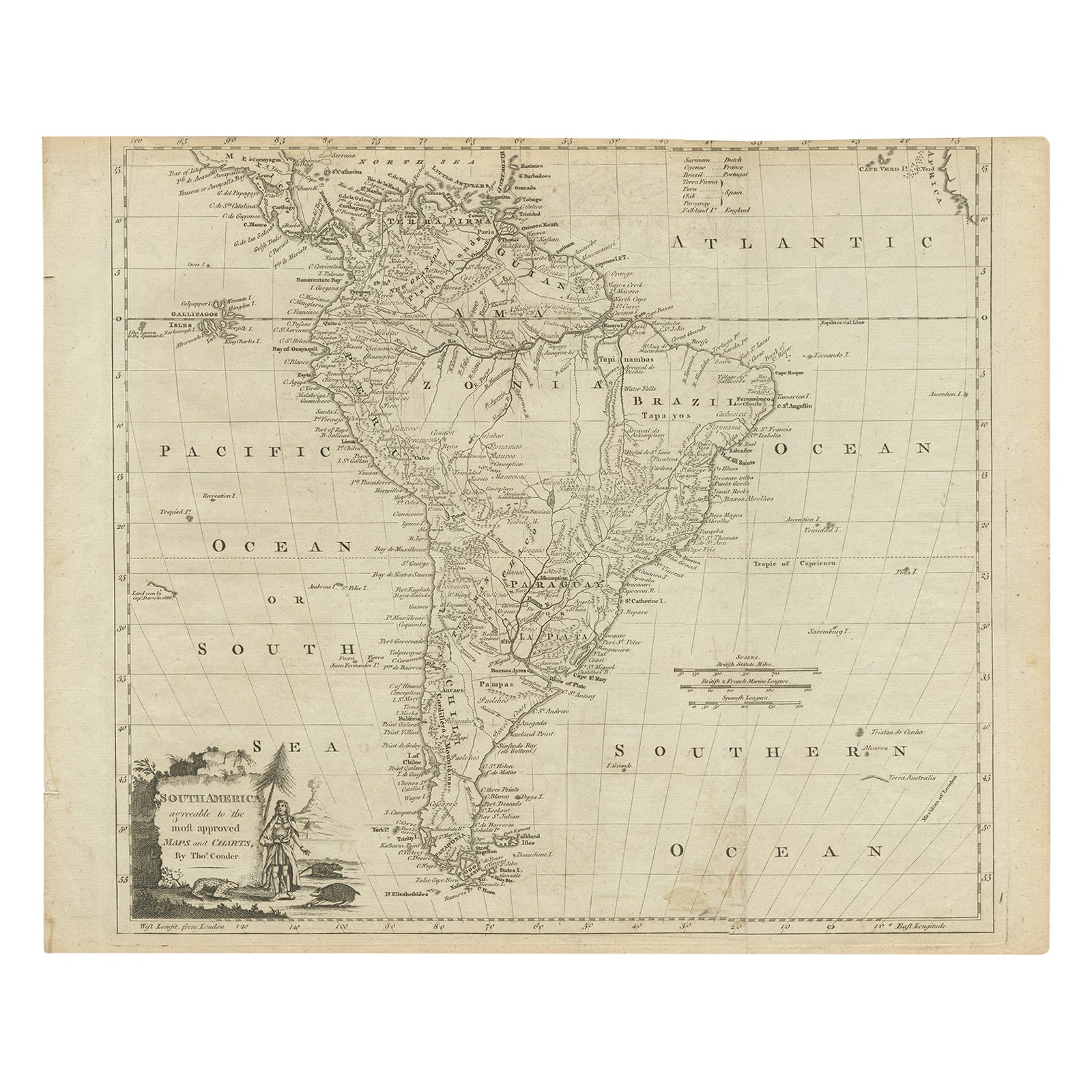
Antique map titled 'South America agreeable to the most approved maps and charts'. Rare map of South America depicting Chili, La Plata, Paraguay, Brazil, Peru, the Amazon and surroundings. Artists and Engravers: Thomas Conder (1747 - June 1831) was an English map engraver and bookseller active in London during the late 17th and early 18th centuries.
Artist: Thomas Conder (1747 - June 1831) was an English map engraver and bookseller active in London during the late 17th and early 18th centuries.
Condition: Good general age-related toning. Few marginal tears, please study image carefully.
Date: c.1775
Overall size: 43 x 35 cm.
Image size: 0.001 x 37.5 x 33.5 cm.
Antique prints have long been appreciated for both their aesthetic and investment value. They were the product of engraved, etched or lithographed plates. These plates were handmade out of wood or metal, which required an incredible level of skill, patience and craftsmanship. Whether you have a house with Victorian furniture or more contemporary decor an old engraving can enhance your living space. We offer a wide range of authentic antique prints for any budget.
- Dimensions:Height: 13.78 in (35 cm)Width: 16.93 in (43 cm)Depth: 0 in (0.01 mm)
- Materials and Techniques:
- Period:
- Date of Manufacture:circa 1775
- Condition:
- Seller Location:Langweer, NL
- Reference Number:Seller: BG-006111stDibs: LU3054327620672
About the Seller
5.0
Recognized Seller
These prestigious sellers are industry leaders and represent the highest echelon for item quality and design.
Platinum Seller
Premium sellers with a 4.7+ rating and 24-hour response times
Established in 2009
1stDibs seller since 2017
2,836 sales on 1stDibs
Typical response time: 1 hour
- ShippingRetrieving quote...Shipping from: Langweer, Netherlands
- Return Policy
More From This Seller
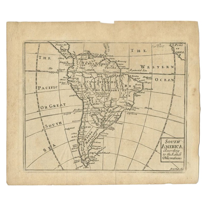
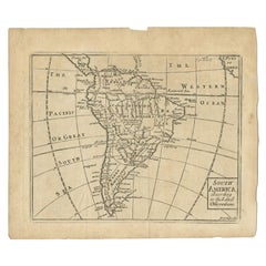
View AllAntique Map of South America by Gordon, c.1745
Located in Langweer, NL
Antique map titled 'South America according to the latest observations'. Antique map of South America originating from 'Geography Anatomiz'd: or, The Geographical Grammar'. Artists a...
Category
Antique 18th Century English Maps
Materials
Paper
Antique Map of South America by Keizer
de Lat, 1788
Located in Langweer, NL
Antique map titled 'Kaartje van het Zuider-Deel van America'. Uncommon original antique map of South America. This map originates from 'Nieuwe Natuur- Geschied- en Handelkundige Zak-...
Category
Antique Late 18th Century Maps
Materials
Paper

$379 Sale Price
20% Off
Antique Map of South America by J. Cook, 1775
Located in Langweer, NL
Antique map titled 'Kaart van het Zuidlyk Eind van Amerika'. Map of the sourthern part of South America, focusing on Cook's tracks around the Cape Horn and T...
Category
Antique Mid-18th Century Maps
Materials
Paper

Rare Map of South America of Chili, La Plata, Paraguay, Brazil, Peru, c.1775
Located in Langweer, NL
Antique map titled 'South America agreeable to the most approved maps and charts'.
Rare map of South America depicting Chili, La Plata, Paraguay, Brazil, ...
Category
Antique 1770s Maps
Materials
Paper

$512 Sale Price
20% Off
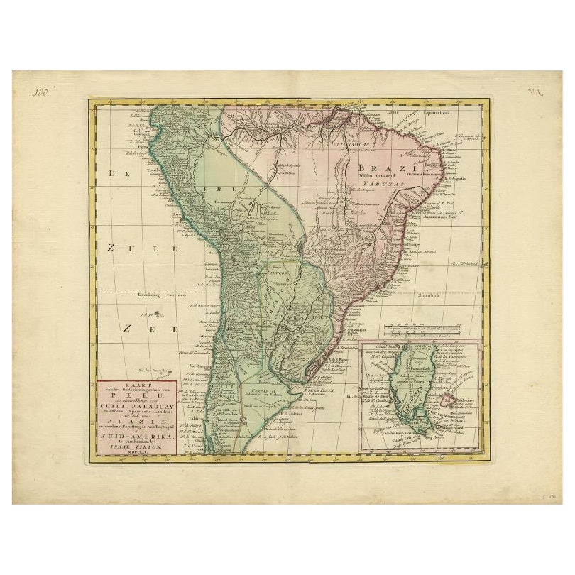
Antique Map of South America by Tirion, c.1765
By Thomas Kitchin
Located in Langweer, NL
Antique map titled 'Kaart van het Onderkoningschap van Peru zig uitstrekkende: over Chile, Paraguay en andere Spaansche Landen als ook van Brazil en verdere Bezittingen van Portugal ...
Category
Antique 18th Century Maps
Materials
Paper

Antique Map of South America by Tirion
circa 1765
Located in Langweer, NL
Antique map titled 'Kaart van het Onderkoningschap van Peru, zig uitstrekkende over Chili, Paraguay en andere Spaansche Landen: als ook van Brazil en verdere Bezittingen van Portugal...
Category
Antique Mid-18th Century Maps
Materials
Paper

$474 Sale Price
20% Off
You May Also Like
Original Antique Map of South America. C.1780
Located in St Annes, Lancashire
Great map of South America
Copper-plate engraving
Published C.1780
Two small worm holes to left side of map
Unframed.
Category
Antique Early 1800s English Georgian Maps
Materials
Paper

North
South America: A 17th Century Hand-colored Map by Jansson
Goos
By Johannes Janssonius
Located in Alamo, CA
A 17th century hand-colored map of North & South America entitled "Americae Descriptio" by the cartographer Johannes Jansson, published in Jansson's Atlas Minor in Amsterdam in 1628....
Category
Antique 1620s Dutch Maps
Materials
Paper

South America: Hand-colored 18th Century Framed Map by Thomas Jefferys
By Thomas Jefferys
Located in Alamo, CA
This detailed hand-colored map of South America by Thomas Jefferys was published in London in 1750. The map shows countries, early colonial possessions, towns, rivers, mountains, and...
Category
Antique Mid-18th Century English Maps
Materials
Paper

The Americas - Vintage Map - 18th century
Located in Roma, IT
The Americas is a very beautiful vintage map realized in the 18th century by an Italian cartographer.
Very good conditions, on the right side the inscript...
Category
18th Century Figurative Prints
Materials
Paper, Etching

A Hand Colored 18th Century Framed Map of South America by Thomas Jefferys
Located in Alamo, CA
This detailed hand colored map of South America by Thomas Jefferys was published in London in 1750. The map shows countries, early colonial possessions, towns, rivers, mountains, and...
Category
Mid-18th Century Other Art Style Landscape Prints
Materials
Engraving

Charte von Sud-America (Map of South America) - Etching with Hand-Drawn Outlines
Located in Soquel, CA
Map of south America, engraved by Franz Pluth (Czech, 1800-1871), from the book "Neueste Länder - und Völkerkunde, ein geographisches Lesebuch für alle Stände" by Linder, F. L. (Prag...
Category
1820s Other Art Style More Prints
Materials
Paper, Printer s Ink, Etching

More Ways To Browse
18th Century American Antiques
Jamaican Antique
Large Map Of Italy
Louisiana Antiques
Maps South East Asia
New Jersey Antique Furniture
Ptolemy Map
Antique Maps Massachusetts
Antique Maps Singapore
Antique Planisphere
Map Of Palestine
R Johnston
Santa Cruz Island
Shetland Map
Antique Alabama Map
Antique Framed Map Engravings
Antique Furniture Cheshire
Antique Great Lakes Map