Items Similar to Antique Map of Sumatra, Bangka Belitung and Riau in the Dutch East Indies, 1884


Want more images or videos?
Request additional images or videos from the seller
1 of 9
Antique Map of Sumatra, Bangka Belitung and Riau in the Dutch East Indies, 1884
$527.98
£391.27
€440
CA$721.60
A$785.52
CHF 416.95
MX$9,451.45
NOK 5,283.35
SEK 4,841.04
DKK 3,351.61
About the Item
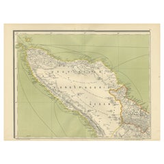
Antique Map of Sumatra Bangka Belitung and Riau Dutch East Indies 19th Century
This large and highly detailed antique map depicts the island of Sumatra together with the surrounding islands of Bangka, Belitung, and the Riau archipelago during the late Dutch colonial period. The map presents Sumatra in full length from north to south, showing the dramatic natural geography of the island alongside its political and administrative organization under Dutch rule. Note: We do not sell the frame but only the sheet.
Mountain ranges, river systems, coastal profiles, inland roads, settlements, and colonial districts are all rendered with remarkable precision. The map clearly illustrates the strategic importance of Sumatra within the Dutch East Indies, including key ports, plantation zones, and regional divisions. The Strait of Malacca and adjacent maritime routes are prominently shown, underscoring the island’s role in international trade and colonial logistics.
Original hand-applied color highlights administrative boundaries and coastal contours, creating a striking contrast against the finely engraved topographic detail. The palette remains refined and well balanced, with soft greens, reds, and yellows enhancing both legibility and decorative appeal. The overall composition is elegant, authoritative, and highly suitable for wall display.
This map represents Sumatra at a pivotal moment in its colonial history, just prior to the major political changes of the twentieth century. It offers not only visual beauty but also important historical insight into the infrastructure, governance, and territorial organization of colonial Indonesia.
Highly desirable for collectors of Southeast Asian cartography, Indonesian history, plantation-era studies, and large-format colonial wall maps. It also works exceptionally well in libraries, offices, boardrooms, and curated interiors where scale and historical depth are appreciated.
Condition report
Very good overall condition with light, even age toning and scattered minor foxing consistent with age. Original color remains fresh and well preserved. No major tears, no heavy staining, and no losses. Clean, strong impression.
We do not sell the frame but only the sheet!
Framing tips
This wide-format map is best framed with soft ivory or warm light-grey museum matting and a slim dark walnut, bronze, or restrained gilt frame. UV-protective museum glass is strongly recommended. The panoramic format works especially well above desks, sideboards, and along long wall sections.
Technique: Color lithography
Maker: Dutch colonial cartographic publication, Amsterdam, 19th century
Keywords: antique sumatra map, dutch east indies map, colonial indonesia map, bangka belitung map, riau islands map, singapore strait map, malacca strait map, antique southeast asia map, dutch colonial cartography, 19th century sumatra map, voc era map, plantation indonesia map, large wall map asia, historical indonesia map, maritime southeast asia map
- Dimensions:Height: 15.36 in (39 cm)Width: 19.1 in (48.5 cm)Depth: 0.01 in (0.2 mm)
- Materials and Techniques:
- Place of Origin:
- Period:
- Date of Manufacture:1884
- Condition:Very good overall condition with light, even age toning and scattered minor foxing consistent with age. Original color remains fresh and well preserved. No major tears, no heavy staining, and no losses. Clean, strong impression.
- Seller Location:Langweer, NL
- Reference Number:Seller: BG-14172-31stDibs: LU3054347872342
About the Seller
5.0
Recognized Seller
These prestigious sellers are industry leaders and represent the highest echelon for item quality and design.
Platinum Seller
Premium sellers with a 4.7+ rating and 24-hour response times
Established in 2009
1stDibs seller since 2017
2,816 sales on 1stDibs
Typical response time: 1 hour
- ShippingRetrieving quote...Shipping from: Langweer, Netherlands
- Return Policy
More From This Seller
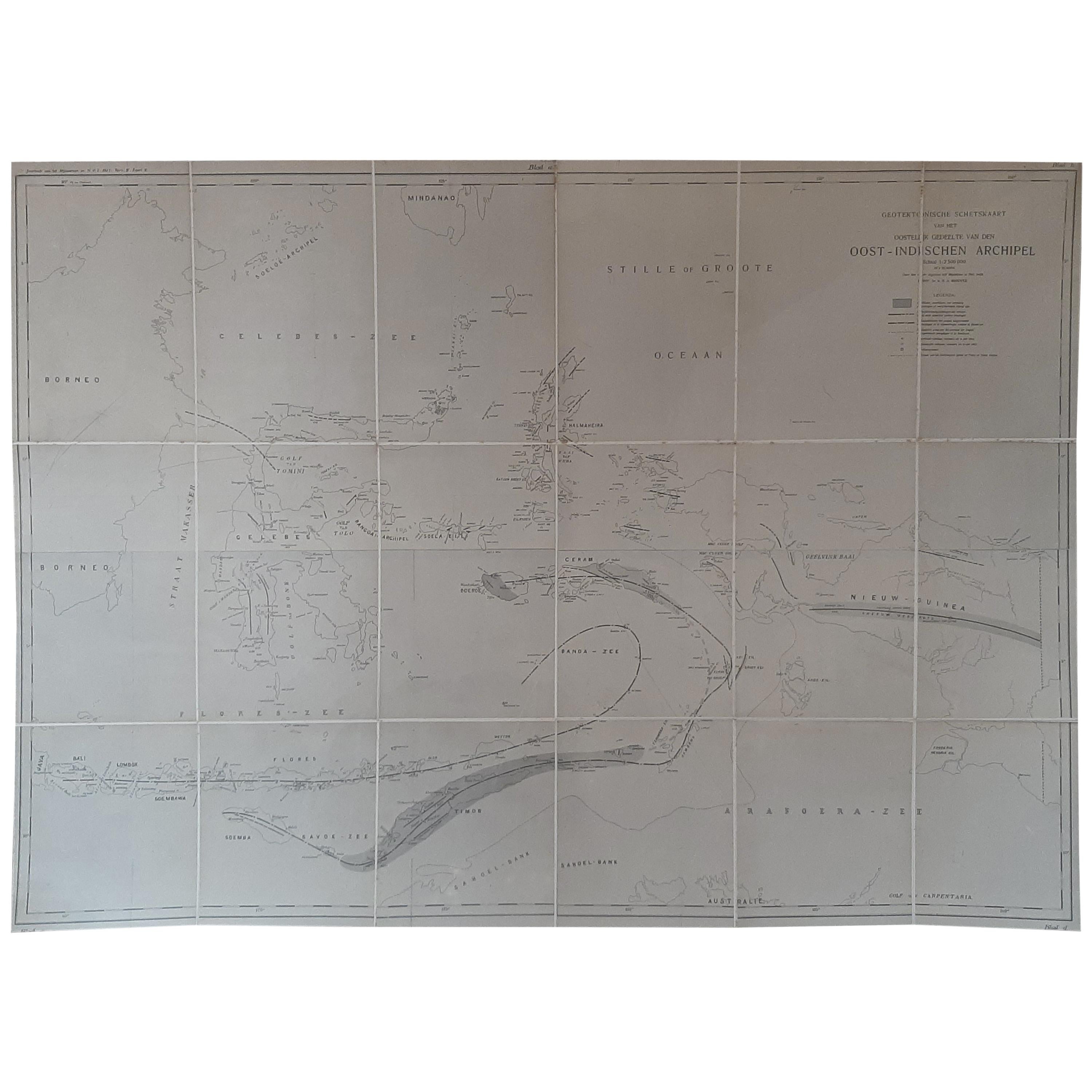
View AllLarge Antique Map of the East Indies by Brouwer, 1917
Located in Langweer, NL
Antique map titled 'Geotektonische Schetskaart van het Oostelijk Gedeelte van den Oost-Indischen Archipel':
Title: Geotektonische Schetskaart van het Oostelijk Gedeelte van den Oost...
Category
Early 20th Century Dutch Maps
Materials
Canvas, Paper
$1,079 Sale Price
25% Off
Antique Map of the East Coast of Sumatra , Indonesia, 1900
Located in Langweer, NL
Antique map of the East Coast of Sumatra. Also depicting the Strait of Malacca. This map originates from 'Atlas van Nederlandsch Oost- en West-Indië' by I. Dornseiffen.
Artists and...
Category
20th Century Maps
Materials
Paper

Antique Map of the East Indies by Van der Aa
1849
Located in Langweer, NL
Antique map titled 'Kaart van Nederlands OostIndie door A.J. van der Aa'. Old map of the Dutch East Indies. This map originates from 'Nederlands Oost-Indië, of beschrijving der Neder...
Category
Antique Mid-19th Century Maps
Materials
Paper

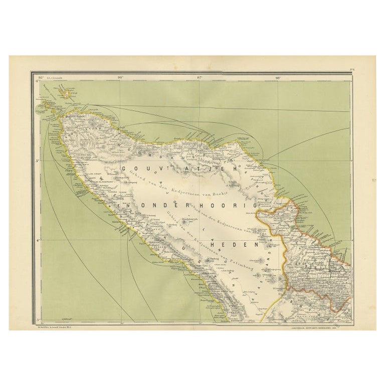
Antique Map of Aceh or Adjeh in Northern Sumatra, Indonesia, 1900
Located in Langweer, NL
Antique map of Aceh, Sumatra. This map originates from 'Atlas van Nederlandsch Oost- en West-Indië' by I. Dornseiffen.
Artists and Engravers: Published by Seyffardt's Boekhandel, A...
Category
20th Century Maps
Materials
Paper
Antique Map of the Moluccas by Stemfoort, 1885
Located in Langweer, NL
Antique map titled 'Kaart der Molukken'. Old map of the southern tip of the Moluccas, or Maluku Islands. With an inset map of part of Ambon Island and an inset map of New Guinea. Thi...
Category
Antique 19th Century Dutch Maps
Materials
Paper

Antique Map of the Region of Lampung, Sumatra, Indonesia, 1900
Located in Langweer, NL
Antique map of the region of Lampung, Sumatra. Also depicting part of Palembang and Java. This map originates from 'Atlas van Nederlandsch Oost- en West-Indië' by I. Dornseiffen.
A...
Category
20th Century Maps
Materials
Paper

You May Also Like
Antique Lithography Map, West Africa, English, Framed, Cartography, Victorian
Located in Hele, Devon, GB
This is an antique lithography map of Western Africa. An English, framed atlas engraving of cartographic interest by John Rapkin, dating to the early Victorian period and later, circ...
Category
Antique Mid-19th Century British Early Victorian Maps
Materials
Wood

Antique Lithography Map, Derbyshire, English, Framed Cartography, Victorian
Located in Hele, Devon, GB
This is an antique lithography map of Derbyshire. An English, framed atlas engraving of cartographic interest, dating to the mid 19th century and later.
Superb lithography of Derby...
Category
Antique Mid-19th Century British Victorian Maps
Materials
Glass, Wood, Paper

Original Antique Map of South East Asia by Thomas Clerk, 1817
Located in St Annes, Lancashire
Great map of South East Asia
Copper-plate engraving
Drawn and engraved by Thomas Clerk, Edinburgh.
Published by Mackenzie And Dent, 1817
Unframed.
Category
Antique 1810s English Maps
Materials
Paper

Antique Lithography Map, Cumberland, English, Framed, Cartography, Victorian
Located in Hele, Devon, GB
This is an antique lithography map of Cumberland. An English, framed atlas engraving of cartographic interest, dating to the mid 19th century and la...
Category
Antique Mid-19th Century British Victorian Maps
Materials
Wood

Antique Lithography Map, Black Sea, English, Framed, Cartography, Victorian
Located in Hele, Devon, GB
This is an antique lithography map of the Black Sea region. An English, framed atlas engraving of cartographic interest by John Rapkin, dating to the early Victorian period and later...
Category
Antique Mid-19th Century British Early Victorian Maps
Materials
Wood

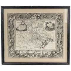
Italian Neo-Classic Map of Italy
Located in Queens, NY
Italian Neo-classic style framed print of map of Italy
Category
20th Century Italian Neoclassical Paintings
Materials
Paper