Items Similar to Antique Map of The United States Southern Section by A
C. Black, 1870


Want more images or videos?
Request additional images or videos from the seller
1 of 6
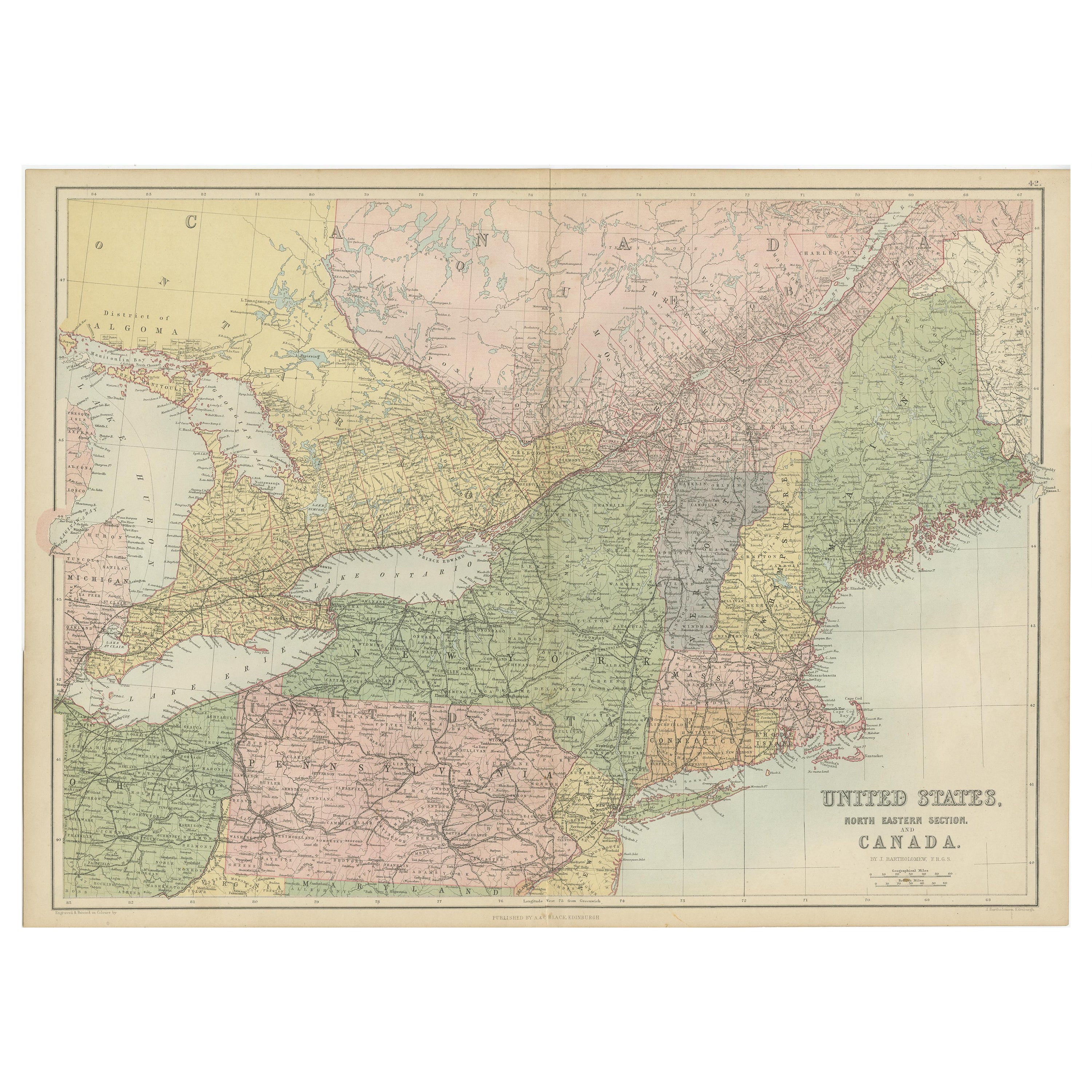
Antique Map of The United States Southern Section by A
C. Black, 1870
$237.36
$296.6920% Off
£177.05
£221.3220% Off
€200
€25020% Off
CA$330.36
CA$412.9520% Off
A$354.42
A$443.0320% Off
CHF 190.10
CHF 237.6320% Off
MX$4,267.18
MX$5,333.9820% Off
NOK 2,396.49
NOK 2,995.6120% Off
SEK 2,185.26
SEK 2,731.5820% Off
DKK 1,524.15
DKK 1,905.1920% Off
About the Item
Antique map titled 'United States Southern Section'. Original antique map of Map of The United States Southern Section. This map originates from ‘Black's General Atlas of The World’. Published by A
C. Black, 1870.
- Dimensions:Height: 17.52 in (44.5 cm)Width: 23.63 in (60 cm)Depth: 0.02 in (0.5 mm)
- Materials and Techniques:
- Period:
- Date of Manufacture:1870
- Condition:Wear consistent with age and use. General age-related toning. some foxing, Please study image carefully.
- Seller Location:Langweer, NL
- Reference Number:Seller: BG-12784-431stDibs: LU3054325442962
About the Seller
5.0
Recognized Seller
These prestigious sellers are industry leaders and represent the highest echelon for item quality and design.
Platinum Seller
Premium sellers with a 4.7+ rating and 24-hour response times
Established in 2009
1stDibs seller since 2017
2,830 sales on 1stDibs
Typical response time: 1 hour
- ShippingRetrieving quote...Shipping from: Langweer, Netherlands
- Return Policy
More From This Seller
View AllAntique Map of the United States by Titus
1871
Located in Langweer, NL
Antique map titled 'The United States of America'. Original antique map of the United States. This map originates from 'Atlas of Prebl...
Category
Antique Late 19th Century Maps
Materials
Paper

$759 Sale Price
20% Off
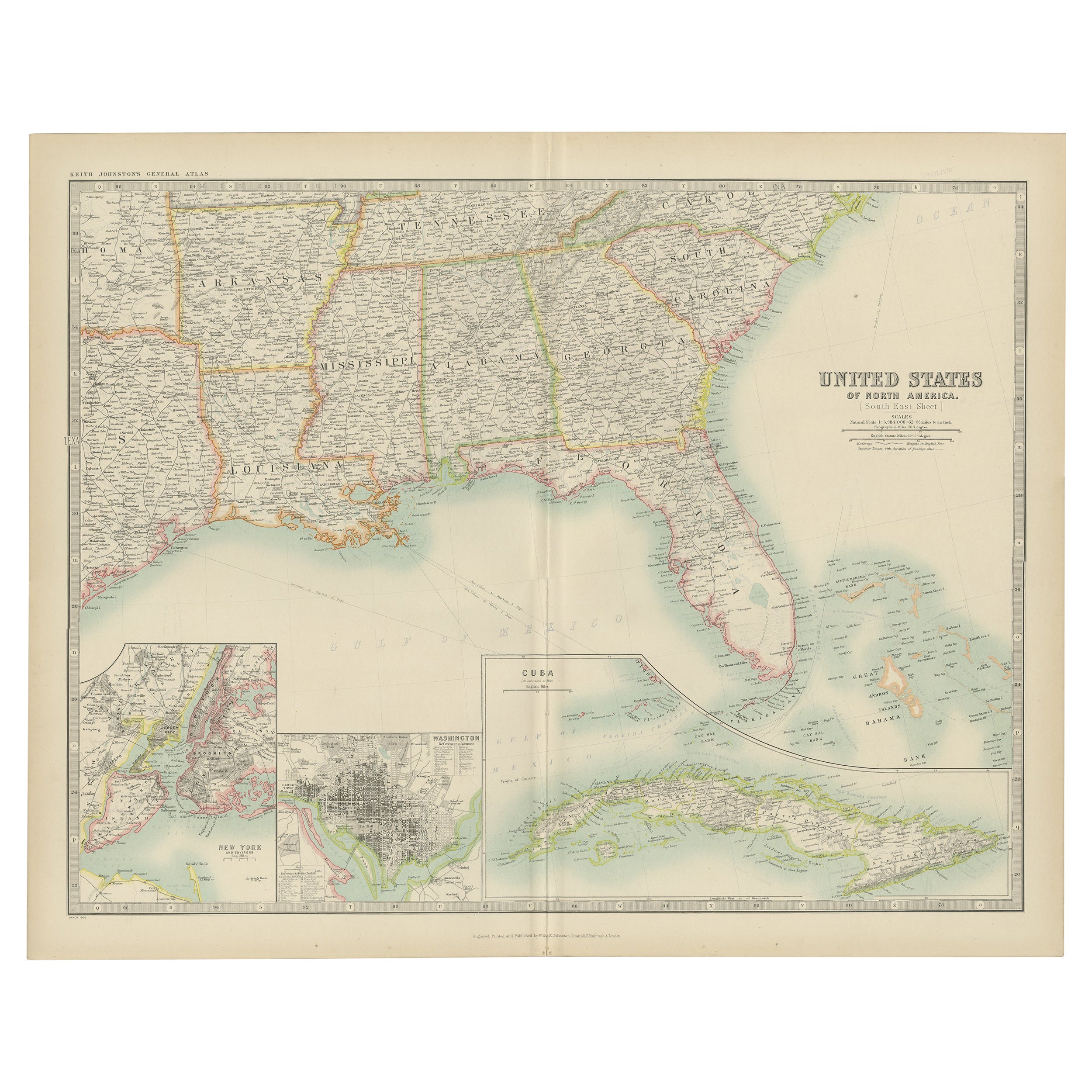
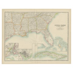
Antique Map of the United States
South East
by Johnston
1909
Located in Langweer, NL
Antique map titled 'United States of North America'. Original antique map of United States of North America ( South East Sheet ). With in...
Category
Early 20th Century Maps
Materials
Paper
$332 Sale Price
20% Off
Antique Map of the United States of North America, c.1882
Located in Langweer, NL
Antique map titled 'United States of North America'. Old map of the United States of North America. This map originates from 'The Royal Atlas of Modern Geography, Exhibiting, in a Se...
Category
Antique 1880s Maps
Materials
Paper

Antique Map of the Eastern United States by Levasseur
1875
Located in Langweer, NL
Antique map titled 'Carte de la Region orientale des États-Unis et de la dominion du Canada'. Large map of the Eastern United States. This map originates from 'Atlas de Géographie Mo...
Category
Antique Late 19th Century French Maps
Materials
Paper

$284 Sale Price
40% Off
Antique Map of The United States of North America, 1882
Located in Langweer, NL
This is a historical map titled "The United States of North America, Central Part" from the 1882 Blackie Atlas. It depicts the continental United States with a high level of detail, ...
Category
Antique 1880s British Maps
Materials
Paper

$237 Sale Price
20% Off
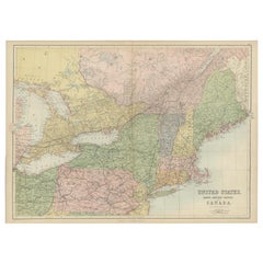
Antique Map of The United States and Canada by A
C. Black, 1870
Located in Langweer, NL
Antique map titled 'United States North Eastern Section and Canada'. Original antique map of Map of The United States North Eastern Section and Canada. This map originates from ‘Blac...
Category
Antique Late 19th Century Maps
Materials
Paper
$237 Sale Price
20% Off
You May Also Like
Original Antique Map of United States, Grattan and Gilbert, 1843
Located in St Annes, Lancashire
Great map of United States
Drawn and engraved by Archer
Published by Grattan and Gilbert. 1843
Original colour
Unframed.
Category
Antique 1840s English Maps
Materials
Paper

Original Antique Map of The United States of America by Dower, circa 1835
Located in St Annes, Lancashire
Nice map of the USA
Drawn and engraved by J.Dower
Published by Orr & Smith. C.1835
Unframed.
Free shipping
Category
Antique 1830s English Maps
Materials
Paper

Original Antique Map of the American State of Mississippi, 1903
Located in St Annes, Lancashire
Antique map of Mississippi
Published By A & C Black. 1903
Original colour
Good condition
Unframed.
Free shipping
Category
Antique Early 1900s English Maps
Materials
Paper

1866 "Johnson
s United States" Map, Published by Johnson and Ward
Located in Colorado Springs, CO
Presented is a detailed map of the United States by A. J. Johnson. Spanning the whole of the continental United States, as well as adjacent parts of Canada and Mexico, the map reflec...
Category
Antique 1860s American Victorian Maps
Materials
Paper

Large Original Antique Map of the United States of America. 1891
By Rand McNally
Co.
Located in St Annes, Lancashire
Fabulous map of The United States
Original color
By Rand, McNally & Co.
Dated 1891
Unframed
Free shipping.
Category
Antique 1890s American Maps
Materials
Paper

Original Antique Map of the American State of Alabama, 1903
Located in St Annes, Lancashire
Antique map of Alabama
Published By A & C Black. 1903
Original colour
Good condition
Unframed.
Free shipping
Category
Antique Early 1900s English Maps
Materials
Paper

More Ways To Browse
Map Of Egypt
Antique Ecuador
Antique Map New York
Nautical Maps
18th Century Maps America
Antique Map Of Egypt
Map Of Austria
New Zealand Map
Antique Linen Map
19th Century World Map
Antique Ohio Maps
Antique Texas Furniture
Military Map
Antique Maps New Zealand
Birds Eye View Map
North Africa Map
West Africa Map
Antique Compass Map