Items Similar to Antique Map of Zevenwolden, Friesland by von Reilly, 1791


Want more images or videos?
Request additional images or videos from the seller
1 of 10
Antique Map of Zevenwolden, Friesland by von Reilly, 1791
$456.34
£337.99
€380
CA$624.25
A$679.38
CHF 360.14
MX$8,173.43
NOK 4,567.70
SEK 4,179.12
DKK 2,895.67
About the Item
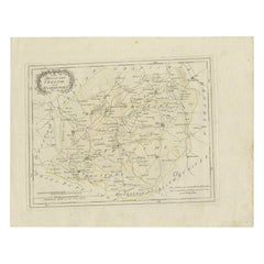
Antique Map of Zevenwolden, Friesland by von Reilly, 1791
Original engraved map titled Der Provinz Zevenwolden fünf westliche Grietenyen No. 644, published in Vienna in 1791. This sheet depicts the district of Zevenwouden (Sevenwolden) in Friesland, showing its towns, villages, waterways, and reclaimed lands in fine detail. It was engraved by Ignaz Alberti for Franz Joseph Johann von Reilly’s Schauplatz der fünf Theile der Welt, the monumental Austrian atlas project of the late 18th century.
The map includes numerous Frisian settlements. Major places shown include Heerenveen, Oldeboorn, Akkrum, Joure, Langweer, Gorredijk, and Beetsterzwaag, alongside smaller villages such as Terband, Nieuwehorne, Oudehorne, Katlijk, Mildam, Oranjewoud, Luxwoude, Tijnje, Aldeboarn, Nes, Raerd, Oostermeer (Eastermar), Rottevalle, Boornbergum, and Lippenhuizen. Southern Friesland’s lakes and waterways are visible, including De Tjonger (Kuinder), the Sneeker Meer (Sneeker Lake), and the De Veenhoop area with its peatlands.
This sheet offers an especially detailed view of Friesland’s peat colonies and agricultural regions, where waterways and canals structured both settlement and economy. It reflects the importance of Zevenwouden in the 18th century as a landscape of farming, peat extraction, and village development.
The decorative cartouche at upper left frames the title in foliage, adding a touch of elegance to this otherwise practical provincial map. Boundaries are highlighted in subtle original hand coloring, underscoring the administrative divisions (grietenijen).
This map is highly desirable for collectors of Dutch provincial cartography and Austrian atlas work. Its rich coverage of towns and villages makes it particularly valuable for genealogical or regional historical research in Friesland.
Condition report: Very good condition with light overall toning. Small marginal signs of age outside the engraved area. Original hand coloring intact. Blank verso.
Framing tips: A dark walnut or gilt frame with a cream mat will highlight the engraved details. For added refinement, a thin blue or green inner line in the mount can echo the water and boundary coloring.
Technique: Engraving with original hand color
Maker: Franz Joseph Johann von Reilly, engraved by Ignaz Alberti, Vienna, 1791
- Dimensions:Height: 12.17 in (30.9 cm)Width: 14.26 in (36.2 cm)Depth: 0.01 in (0.2 mm)
- Materials and Techniques:Paper,Engraved
- Place of Origin:
- Period:
- Date of Manufacture:1791
- Condition:Condition report: Very good condition with light overall toning. Small marginal signs of age outside the engraved area. Original hand coloring intact. Blank verso.
- Seller Location:Langweer, NL
- Reference Number:Seller: BG-13229-41stDibs: LU3054346690792
About the Seller
5.0
Recognized Seller
These prestigious sellers are industry leaders and represent the highest echelon for item quality and design.
Platinum Seller
Premium sellers with a 4.7+ rating and 24-hour response times
Established in 2009
1stDibs seller since 2017
2,813 sales on 1stDibs
Typical response time: 1 hour
- ShippingRetrieving quote...Shipping from: Langweer, Netherlands
- Return Policy
More From This Seller
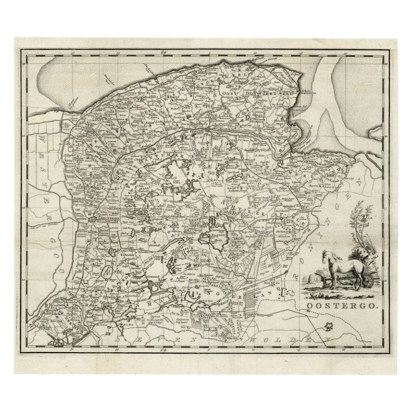
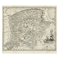
View AllAntique Map of Oostergo, Friesland by Tirion, 1785
Located in Langweer, NL
Antique map Friesland titled 'Oostergo'. Antique map of part of Friesland depicting the 'Oostergo' region. Decorative titled cartouche with horse and plough. Originates from 'Tegenwo...
Category
Antique 18th Century Maps
Materials
Paper
$180 Sale Price
20% Off
Antique Map of Overijssel by Van Jagen, 1771
Located in Langweer, NL
Antique map titled 'L'Over-Issel'. This map depicts the Dutch province Overijssel. This map originates from 'Nouvel Atlas, très exact et fort commode pour toutes sortes de personnes,...
Category
Antique 18th Century Maps
Materials
Paper

$182 Sale Price
20% Off
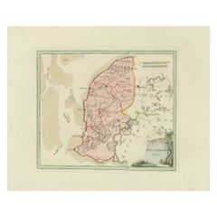
Antique Map of Southern Westergo, Friesland by von Reilly, 1791
Located in Langweer, NL
Antique Map of Southern Westergo, Friesland by von Reilly, 1791
Original engraved map titled Westergoo Norde, published in Vienna in 1791. This sheet depicts the southern and coasta...
Category
Antique 18th Century Austrian Maps
Materials
Paper
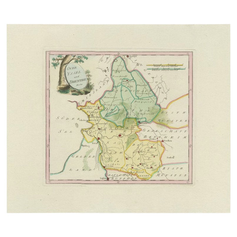
Antique Map of Overijssel and Drenthe by Von Reilly, c.1795
Located in Langweer, NL
Antique map titled 'Overyssel und Drenthe'. Decorative map of Overijssel and Drenthe, The Netherlands. This map originates from 'Schauplatz Der Funf Theile der Welt' (Wien: Reilly, 1...
Category
Antique 18th Century Maps
Materials
Paper
$148 Sale Price
20% Off
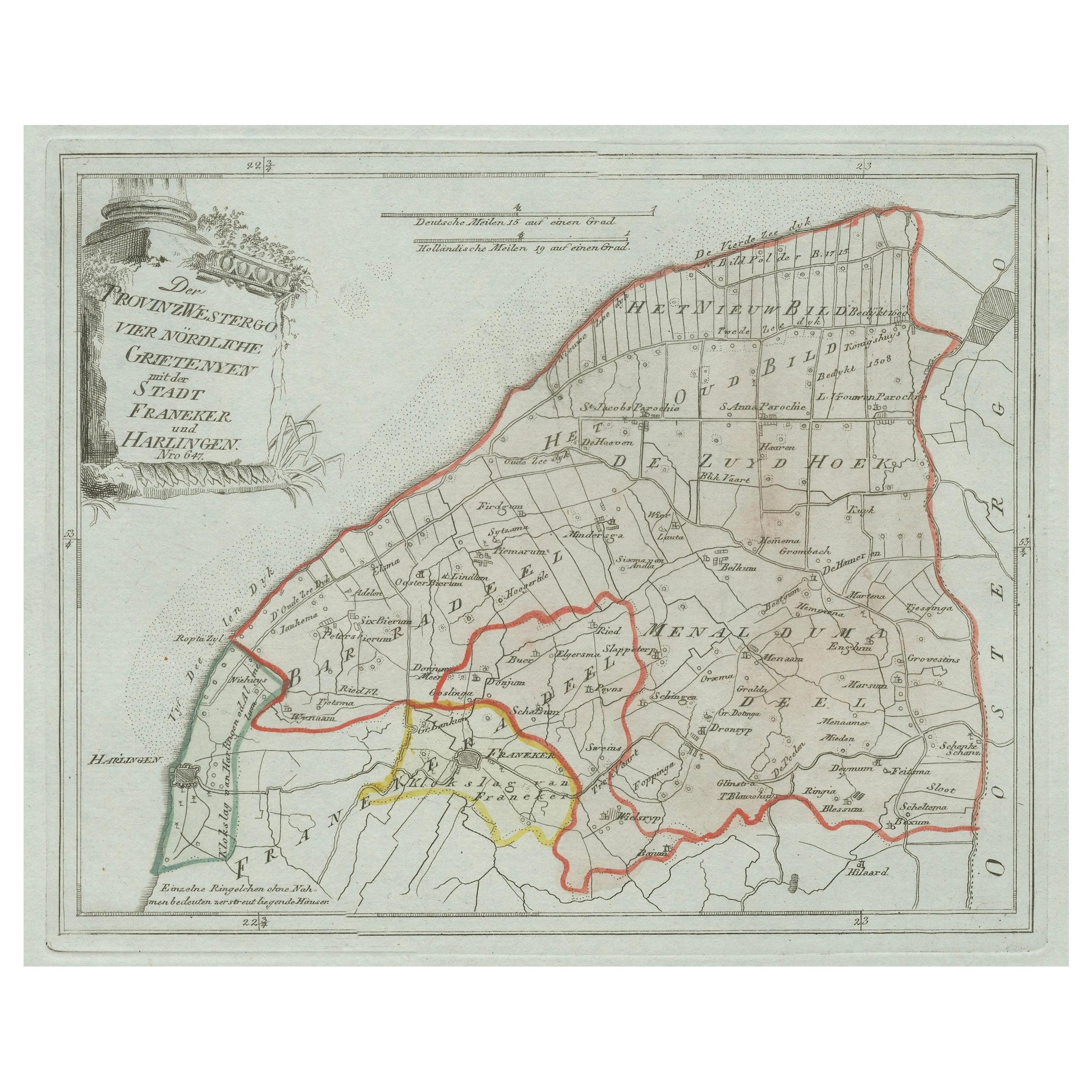
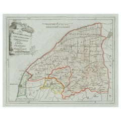
Antique Map of Franeker and Harlingen, Friesland by von Reilly, 1791
Located in Langweer, NL
Antique Map of Franeker and Harlingen, Friesland by von Reilly, 1791
Original engraved map titled Der Provinz Westergo vier nördliche Grietenyen mit der Stadt Franeker und Harlingen...
Category
Antique 18th Century Austrian Maps
Materials
Paper
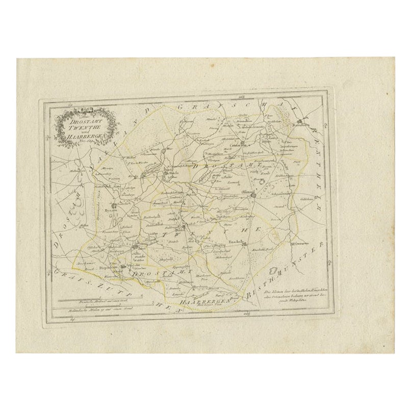
Antique Map of Part of Overijssel by Von Reilly, 1792
Located in Langweer, NL
Antique map titled 'Das Drostamt Twenthe und Haarbergen'. This map depicts part of The Netherlands (Overijssel). This map originates from 'Schauplatz der fünf Theile der Welt' publis...
Category
Antique 18th Century Maps
Materials
Paper
$120 Sale Price
20% Off
You May Also Like
1752 Vaugoundy Map of Flanders : Belgium, France, and the Netherlands, Ric.a002
Located in Norton, MA
Large Vaugoundy Map of Flanders:
Belgium, France, and the Netherlands
Colored -1752
Ric.a002
Description: This is a 1752 Didier Robert de Vaugondy map of Flanders. The map de...
Category
Antique 17th Century Unknown Maps
Materials
Paper

1635 Willem Blaeu Map of Northern France"Comitatvs Bellovacvm" Ric.a08
Located in Norton, MA
1635 Willem Blaeu map of northern France, entitled.
"Comitatvs Bellovacvm Vernacule Beavvais,"
Colored
Ric.a008
“COMITATVS BELLOVACVM…” Amsterdam: W...
Category
Antique 17th Century Unknown Maps
Materials
Paper

1657 Janssonius Map of Vermandois and Cappelle, Ric. A-004
Located in Norton, MA
1657 Janssonius map of
Vermandois and Cappelle
Ric.a004
Description: Antique map of France titled 'Descriptio Veromanduorum - Gouvernement de la Cappelle'. Two detailed maps o...
Category
Antique 17th Century Unknown Maps
Materials
Paper

1748 Map of Richmond Upon Thames by John Roque
Located in Gloucestershire, GB
A 1748 map of Richmond-Upon-Thames by famed surveyor and cartographer, John Roque. Placed in a simple black and gilt frame. The map is in fair condition but there are small sections ...
Category
Antique Mid-18th Century English Maps
Materials
Wood, Paper

18th Century Emanuel Bowen Map of County of York, c.1740
By Emanuel Bowen
Located in Royal Tunbridge Wells, Kent
Antique 18th century British rare and original Emanuel Bowen (1694-1767) map of the County of York divided into its Ridings and subdivided into wapontakes, mounted in solid wood fram...
Category
Antique Early 18th Century British Maps
Materials
Paper

Large Original Antique Folding Map of Manchester, England, Dated 1793
Located in St Annes, Lancashire
Superb map of Manchester and Salford
Folding map. Printed on paper laid on to the original canvas
Unframed.
Published by C. Laurent, 1793.
Free shippi...
Category
Antique 1790s English Georgian Maps
Materials
Canvas, Paper
