Items Similar to Antique Miniature Map of the Maluku Islands by Van Esveldt
Holtrop
c.1790


Want more images or videos?
Request additional images or videos from the seller
1 of 5
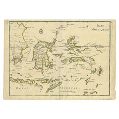
Antique Miniature Map of the Maluku Islands by Van Esveldt
Holtrop
c.1790
$191.51
$239.3820% Off
£142.29
£177.8720% Off
€160
€20020% Off
CA$262.33
CA$327.9120% Off
A$286.18
A$357.7320% Off
CHF 151.79
CHF 189.7320% Off
MX$3,447.86
MX$4,309.8320% Off
NOK 1,926.46
NOK 2,408.0720% Off
SEK 1,763.72
SEK 2,204.6520% Off
DKK 1,218.86
DKK 1,523.5720% Off
About the Item
Antique map titled 'De Moluksche Eilanden'. Original antique miniature map of the Maluku Islands (Moluccas), an archipelago in eastern Indonesia. This map originates from an extremely rare pocket atlas by Van Esveldt and Holtrop. Published circa 1790.
- Dimensions:Height: 4.93 in (12.5 cm)Width: 6.3 in (16 cm)Depth: 0.02 in (0.5 mm)
- Materials and Techniques:
- Period:
- Date of Manufacture:circa 1790
- Condition:General age-related toning. Original/contemporary hand coloring. Minor wear and soiling, blank verso. Please study image carefully.
- Seller Location:Langweer, NL
- Reference Number:Seller: BG-080581stDibs: LU3054323851182
About the Seller
5.0
Recognized Seller
These prestigious sellers are industry leaders and represent the highest echelon for item quality and design.
Platinum Seller
Premium sellers with a 4.7+ rating and 24-hour response times
Established in 2009
1stDibs seller since 2017
2,819 sales on 1stDibs
Typical response time: 1 hour
- ShippingRetrieving quote...Shipping from: Langweer, Netherlands
- Return Policy
More From This Seller
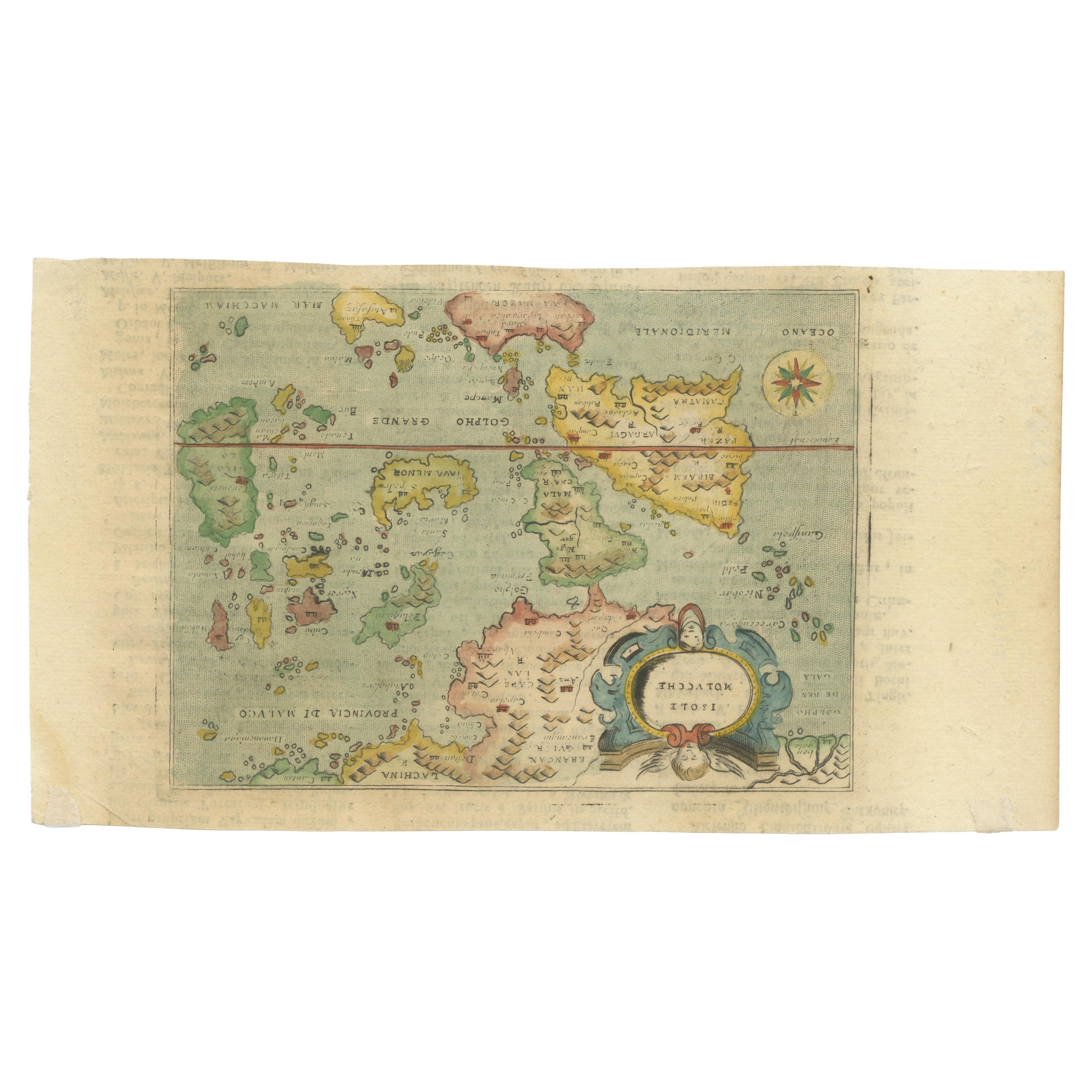
View AllAntique Miniature Map of the Maluku Islands by Lasor a Varea, 1713
Located in Langweer, NL
Antique map titled 'Isole Molucche'. Rare miniature map of the Maluku Islands or the Moluccas, Indonesia. This map originates from 'Universus Terrarum Orbis...
Category
Antique Early 18th Century Maps
Materials
Paper
$574 Sale Price
20% Off
Antique Map of Ambon Island in the Moluccas, Indonesia, c.1760
Located in Langweer, NL
Antique map Ambon titled 'Carte Particuliere de l 'Isle Amboine'. Old map showing Ambon, in the Moluccas Islands, better known as the Spice Islands. Ambon was the headquarters of the...
Category
Antique 18th Century Maps
Materials
Paper

Antique Map of the Maluku Islands by Van der Aa, 1714
By Pieter Van Der Aa
Located in Langweer, NL
Antique Map Moluccas titled 'Les Isles Moluques'. Rare map of the Spice Islands made after a map engraved by Pieter van den Keere and published in the 1628 edition of the Mercator At...
Category
Antique 18th Century Maps
Materials
Paper

Antique Map of the Maluku Islands by Bellin, c.1750
By Jacques-Nicolas Bellin
Located in Langweer, NL
Antique map titled 'Carte Particuliere des Isles Moluques'. This map depicts the islands of Herij, Ternate, Tidor, Pottebackers, Timor, Machian and Bachian. The Moluccan islands were...
Category
Antique 18th Century Maps
Materials
Paper

Antique Map of the Maluku Islands by Le Rouge, c.1750
By George Louis Le Rouge
Located in Langweer, NL
Antique map Moluccas/Spice Islands titled 'Isles Moluques'. Detailed map of the famous Spice Islands (Maluku Islands or the Moluccas). Includes also Sulawesi, Bali, Timor, part of Bo...
Category
Antique 18th Century Maps
Materials
Paper
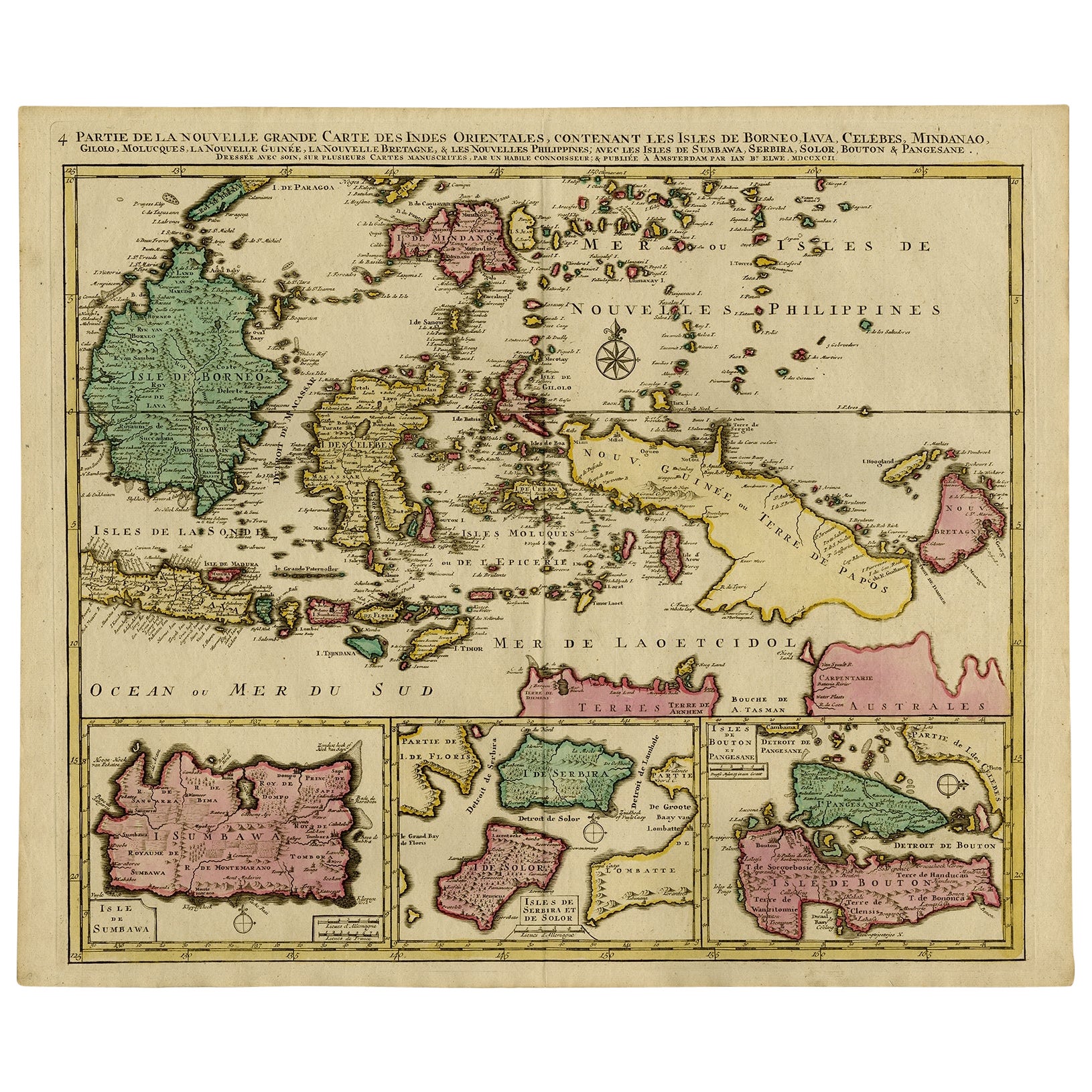
Old Map of Indonesian Islands Borneo, Celebes, New Guinea
New Britain, 1792
Located in Langweer, NL
Antique map titled 'Partie de la Nouvelle Grande Carte des Indes Orientales, contenant les Isles de Borneo, Iava, Celebes, Mindanao (..)'.
Detailed map of the Indonesian islands Bo...
Category
Antique 1790s French Maps
Materials
Paper

You May Also Like
Map Of The Island Of Cuba - Guillaume Thomas Raynal (1711-1796)
Located in Porto, PT
This historical map of the Island of Cuba was produced in the late 18th century and is taken from an edition of “Atlas de toutes les parties connues du globe terrestre” by the French...
Category
Antique 18th Century Prints
Materials
Glass, Paper

Southern Greece: A Large 17th C. Hand-colored Map by Sanson and Jaillot
By Nicolas Sanson
Located in Alamo, CA
This large original hand-colored copperplate engraved map of southern Greece and the Pelopponese Peninsula entitled "La Moree Et Les Isles De Zante, Cefalonie, Ste. Marie, Cerigo & C...
Category
Antique 1690s French Maps
Materials
Paper

$1,580 Sale Price
20% Off
Captain Cook
s Exploration of Tahiti 18th C. Hand-Colored Map by Bellin
By Jacques-Nicolas Bellin
Located in Alamo, CA
This beautiful 18th century hand-colored copper plate engraved map is entitled "Carte de l'Isle de Taiti, par le Lieutenant J. Cook" was created by Jacques Nicolas Bellin and publish...
Category
Antique Mid-18th Century French Maps
Materials
Paper

$620 Sale Price
20% Off
Antique French Map of Asia Including China Indoneseia India, 1783
Located in Amsterdam, Noord Holland
Very nice map of Asia. 1783 Dedie au Roy.
Additional information:
Country of Manufacturing: Europe
Period: 18th century Qing (1661 - 1912)
Condition: Overall Condition B (Good Used)...
Category
Antique 18th Century European Maps
Materials
Paper

$486 Sale Price
40% Off
West Coast of Africa, Guinea
Sierra Leone: An 18th Century Map by Bellin
By Jacques-Nicolas Bellin
Located in Alamo, CA
Jacques Bellin's copper-plate map entitled "Partie de la Coste de Guinee Dupuis la Riviere de Sierra Leona Jusquau Cap das Palmas", depicting the coast of Guinea and Sierra Leone in ...
Category
Antique Mid-18th Century French Maps
Materials
Paper

$460 Sale Price
20% Off
St. Christophe
St. Kitts
Island: An 18th Century Hand-colored Map by Bellin
By Jacques-Nicolas Bellin
Located in Alamo, CA
Jacques Bellin's copper-plate map of the Caribbean island of Saint Kitts entitled "Carte De De l'Isle St. Christophe Pour servir á l'Histoire Genle. des V...
Category
Antique Mid-18th Century French Maps
Materials
Paper

$460 Sale Price
20% Off
More Ways To Browse
Antique Mediterranean Map
Antique Map Mexico
Antique Map Paris
Antique Puerto Rico
West Indies Antique Furniture
Map Of Ireland
Antique Indian Maps
Antique Map Ortelius
Antique Roman Map
D Plan
Roman Map
Map Of Paris
Large Vintage Map
Antique Map Of Ireland
Antique Maps Persia
Map Of Holy Land
Migeon Migeon
Antique Maps Of Canada