Items Similar to Antique Plan de l
Historie Universelle World Map, Framed Cartography, Circa 1730


Want more images or videos?
Request additional images or videos from the seller
1 of 13
Antique Plan de l
Historie Universelle World Map, Framed Cartography, Circa 1730
$1,688.73
£1,236
€1,451.69
CA$2,346.16
A$2,523.63
CHF 1,348.70
MX$29,746.41
NOK 17,003.96
SEK 15,544.85
DKK 10,846.54
About the Item
This is an antique Plan de l'Historie Universelle World Map. A Dutch, framed atlas engraving by Henri Abraham Chatelain, dating to the 18th century and later, circa 1730.
Published in Amsterdam, with all text in French. The full title reads; Plan de l'Historie Universelle, Oulon voit les Quartre Monarchies du Monde, et tous les Anciens Etats auffi bien que ceux qui fubsiste
A fascinating 18th century world map, accentuated with encyclopaedic detail
Displaying a desirable aged patina and in good original order
Wonderful period cartography piece, set within a later glazed frame
Compiled by Chatelain with profuse detail of monarchs, the Seven Wonders of the World et al
Map centred around Eurasia, with the Americas charmingly featured within a medallion
Annotated with the Equator and the tropics of Cancer and Capricorn respectively
Replete with a grid reference system for locating points of interest
Hand coloured palette accentuates the map throughout to great visual effect
Further detailing monarchs and ancient states such as the Roman Empire and Carthage
Medallion excerpts present the ancient Seven Wonders of the World with appealing illustrations
The map is dressed to the rear with hanging braid for ease of mounting
This is a captivating antique Plan de l'Historie Universelle World Map, with fine cartographic interest and fascinating 18th century encyclopaedic detail. A treat for collectors of cartography, historic reference or Francophiles. Delivered ready to display.
Dimensions:
Max Width: 54.5cm (21.5'')
Max Depth: 2cm (.75'')
Max Height: 44.5cm (17.5'')
Map Width: 44.5cm (17.5'')
Map Height: 34cm (13.5'')
- Dimensions:Height: 17.52 in (44.5 cm)Width: 21.46 in (54.5 cm)Depth: 0.79 in (2 cm)
- Style:George II (Of the Period)
- Materials and Techniques:
- Place of Origin:
- Period:1730-1739
- Date of Manufacture:Circa 1730
- Condition:Wear consistent with age and use. Presented in good, original antique condition.
- Seller Location:Hele, Devon, GB
- Reference Number:Seller: 256871stDibs: LU2645348233042
About the Seller
5.0
Platinum Seller
Premium sellers with a 4.7+ rating and 24-hour response times
Established in 2005
1stDibs seller since 2017
1,091 sales on 1stDibs
Typical response time: <1 hour
- ShippingRetrieving quote...Shipping from: Hele, Devon, United Kingdom
- Return Policy
More From This Seller
View AllVintage Reproduction 17th Century Map of Europe, American, Cartography, Blaeuw
Located in Hele, Devon, GB
This is a vintage reproduction map of Europe. An American, paper stock cartography print in frame after the work by Blaeuw, dating to the late 20t...
Category
Late 20th Century Central American Mid-Century Modern Maps
Materials
Glass, Wood, Paper

Antique Lithography Map, West Africa, English, Framed, Cartography, Victorian
Located in Hele, Devon, GB
This is an antique lithography map of Western Africa. An English, framed atlas engraving of cartographic interest by John Rapkin, dating to the early Victorian period and later, circ...
Category
Antique Mid-19th Century British Early Victorian Maps
Materials
Wood

Antique South America Map, English, Framed Cartography, De La Rochette, Georgian
Located in Hele, Devon, GB
This is a superb antique map of South America. An English, framed cartographic engraving by Louis Stanislas De La Rochette, dating to the Georgian period and later, circa 1790. A fas...
Category
Antique 1790s British Georgian Maps
Materials
Glass, Paper
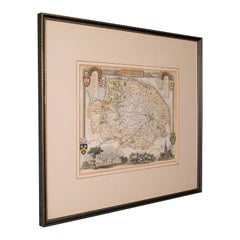
Antique County Map, Norfolk, English, Framed Lithography, Cartography, Victorian
Located in Hele, Devon, GB
This is an antique lithography map of Norfolk. An English, framed atlas engraving of cartographic interest, dating to the mid 19th century and later.
Superb lithography of Norfolk a...
Category
Antique Mid-19th Century British Victorian Maps
Materials
Glass, Wood
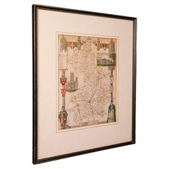
Antique Berkshire Map, English County, Framed Engraving, Cartography, Lithograph
Located in Hele, Devon, GB
This is an antique county map of Berkshire. An English, framed atlas engraving of cartographic interest, dating to the mid 19th century and later.
Superb lithography of Berkshire a...
Category
Antique Mid-19th Century British Victorian Maps
Materials
Glass, Wood, Paper

Antique Lithography Map, Cambridgeshire, English, Framed Cartography, Victorian
Located in Hele, Devon, GB
This is an antique lithography map of Cambridgeshire. An English, framed atlas engraving of cartographic interest, dating to the mid 19th century and later.
Superb lithography of C...
Category
Antique Mid-19th Century British Victorian Maps
Materials
Glass, Wood, Paper
You May Also Like
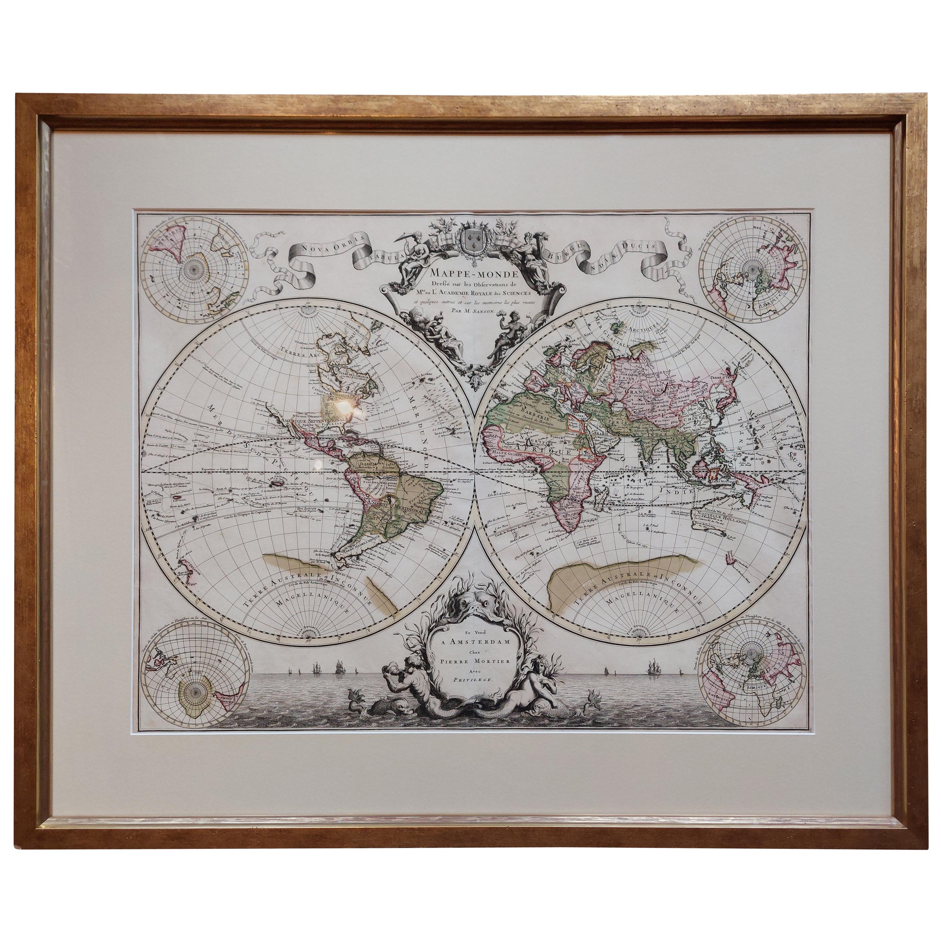
Original Antique Hand-colored World Map with or without Frame,
1696
Located in Langweer, NL
Antique world map titled 'Mappe-Monde dressee sur les Observations de Mrs. de l'Academie Royale des Sciences (..)'. Beautiful original antique world map...
Category
Antique Late 17th Century French Maps
Materials
Paper

$4,271 Sale Price
20% Off
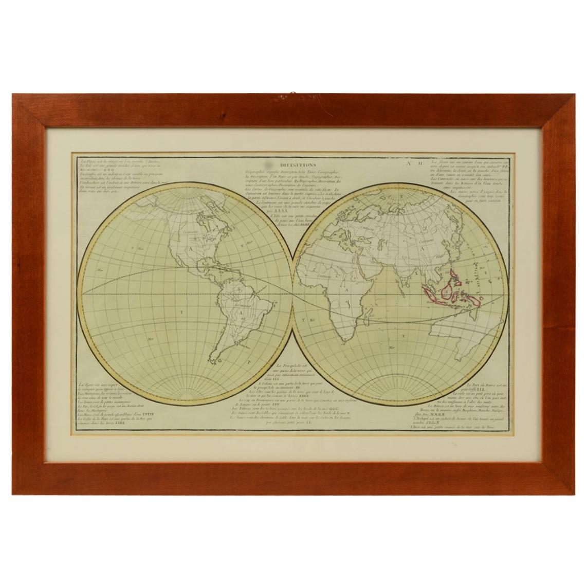
Antique Map of the Eastern Hemisphere in Frame,
circa 1683
Located in Langweer, NL
Antique map titled 'Climats selon les Anciens'. Miniature map of the Eastern Hemisphere showing the climatic regions. This map originates from 'Description de l'Univers' by A.M. Mall...
Category
Antique Late 17th Century Maps
Materials
Paper

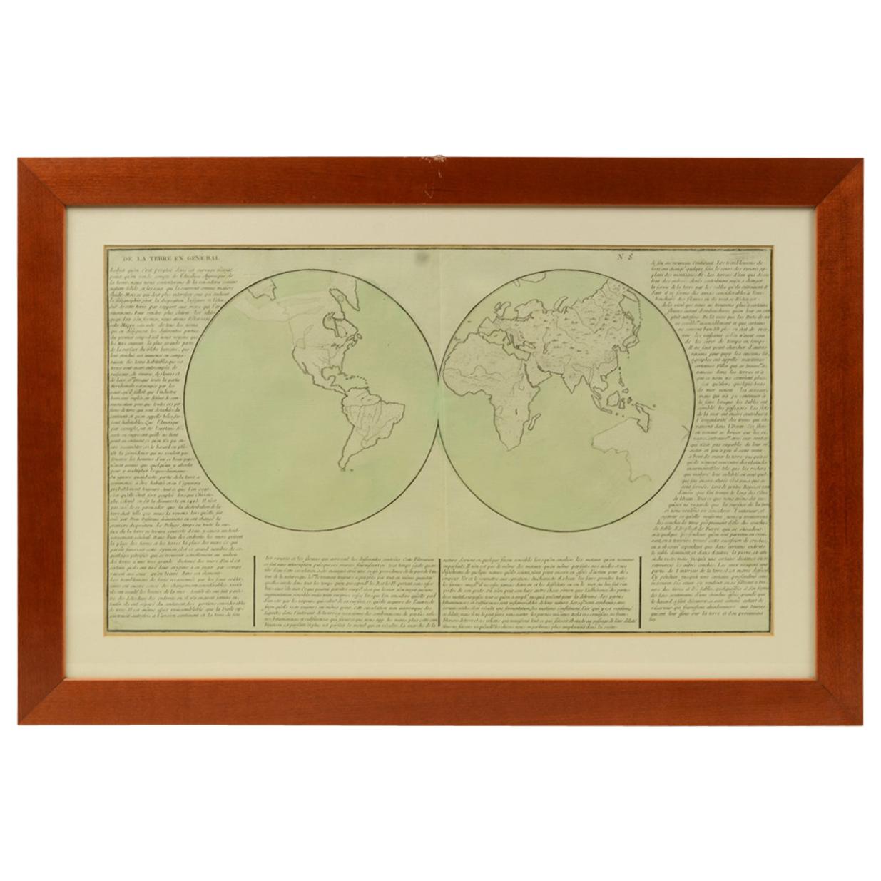
1850 Old French Map Depicting the Entire Earth
s Surface Divided into Two Parts
Located in Milan, IT
Geographical map depicting the entire earth's surface divided into two parts that correspond to the two hemispheres where the emerged lands are depicted which have been classified wi...
Category
Antique Mid-19th Century French Maps
Materials
Glass, Wood, Paper

1850 Old French Map Depicting the Entire Earth
s Surface Divided into Two Parts
Located in Milan, IT
Geographical map depicting the entire earth's surface divided into two parts that correspond to the two hemispheres or globes, the map deals with the earth in general. Detailed expla...
Category
Antique Mid-19th Century French Maps
Materials
Glass, Wood, Paper

Very Decorative Original Antique Map of the World, Published in France in c.1780
By Rigobert Bonne
Located in Langweer, NL
Antique map titled 'L'Ancien Monde Et Le Nouveau en Deux Hemispheres' - Double hemisphere map of the World, showing the contemporary geographical...
Category
Antique 18th Century French Maps
Materials
Paper

$548 Sale Price
40% Off
Antique World Map by P. Schenk
1706
By Peter Schenk
Located in Langweer, NL
Antique map titled 'Diversa Orbis Terrae. Visu Incedente per Coluros Tropicorum, Ambos Ejus Polos, et Parciularis Sphaerae Zenith, in Planum Orthographica Projectio (..) Plat Ontwerp van verscheyde Aert-klooten (..)'. One of the earliest Dutch World Maps to focus on a more modern cartographic style, based on Carel Allard's map of 1696. This map represented a noteworthy shift from the traditional decorative Dutch 17th century maps where the margins would be full of classical mythological...
Category
Antique Early 18th Century Maps
Materials
Paper

$5,125 Sale Price
20% Off