Items Similar to Antique Railroad Map of the United States by Rand, McNally
Co, 1900


Want more images or videos?
Request additional images or videos from the seller
1 of 10
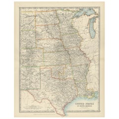
Antique Railroad Map of the United States by Rand, McNally
Co, 1900
$2,228.89
$2,971.8525% Off
£1,658.95
£2,211.9325% Off
€1,875
€2,50025% Off
CA$3,091.25
CA$4,121.6625% Off
A$3,328.01
A$4,437.3425% Off
CHF 1,782.21
CHF 2,376.2825% Off
MX$40,101.30
MX$53,468.4025% Off
NOK 22,486.58
NOK 29,982.1125% Off
SEK 20,578.85
SEK 27,438.4725% Off
DKK 14,290.96
DKK 19,054.6225% Off
About the Item
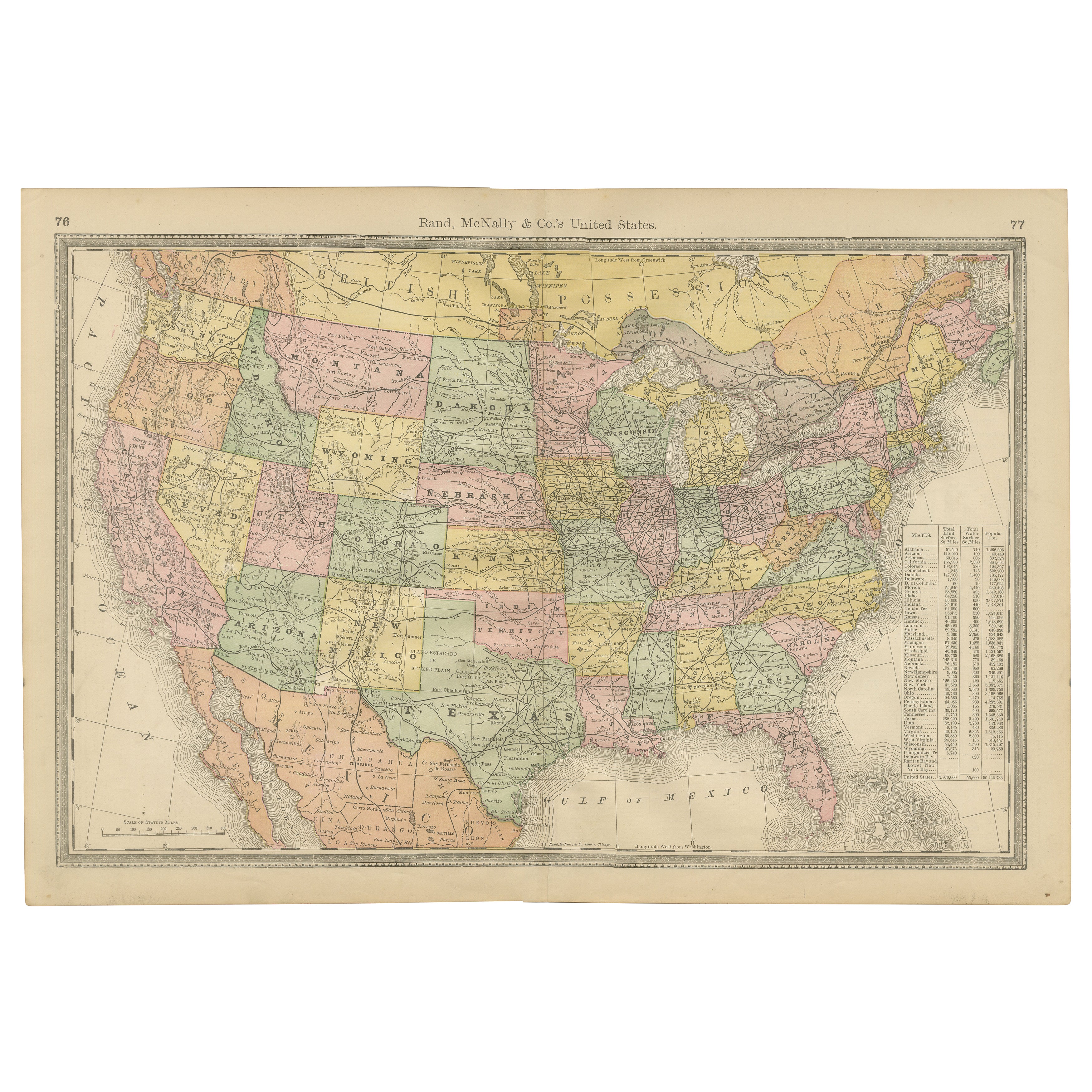
Antique map titled 'Rand, McNally
Co's New Official Railroad map of the United States with portions of The Dominion of Canada, The Republic of Mexico and the West Indies'. Large railroad map of the United States, sectionalised and laid on linen. Map shows state boundaries for the United States, Mexico, the West Indies, and lower portion of Canada; major cities and towns, military posts, Native American reservations, and railroads; Oklahoma and "Indian Territory." Inset: "Map of Alaska." Published, 1900.
- Dimensions:Height: 30.91 in (78.5 cm)Width: 43.9 in (111.5 cm)Depth: 0.02 in (0.5 mm)
- Materials and Techniques:
- Period:
- Date of Manufacture:1900
- Condition:General age-related toning. Yellow card endpapers, lacking slipcase. Minor wear. Please study images carefully.
- Seller Location:Langweer, NL
- Reference Number:Seller: BG-128361stDibs: LU3054321908612
About the Seller
5.0
Recognized Seller
These prestigious sellers are industry leaders and represent the highest echelon for item quality and design.
Platinum Seller
Premium sellers with a 4.7+ rating and 24-hour response times
Established in 2009
1stDibs seller since 2017
2,828 sales on 1stDibs
Typical response time: 1 hour
- ShippingRetrieving quote...Shipping from: Langweer, Netherlands
- Return Policy
More From This Seller
View AllAntique Map of the United States by Titus
1871
Located in Langweer, NL
Antique map titled 'The United States of America'. Original antique map of the United States. This map originates from 'Atlas of Prebl...
Category
Antique Late 19th Century Maps
Materials
Paper

$760 Sale Price
20% Off
Antique Map of the United States of North America, c.1882
Located in Langweer, NL
Antique map titled 'United States of North America'. Old map of the United States of North America. This map originates from 'The Royal Atlas of Modern Geography, Exhibiting, in a Se...
Category
Antique 1880s Maps
Materials
Paper

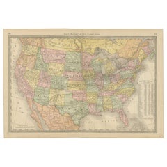
United States Antique Map c.1888 – Railroads, Territories
State Stats
Located in Langweer, NL
Antique Map of the United States – Rand McNally, circa 1888
This antique map of the United States was published by Rand, McNally & Co. around 1888. It presents a colorful overview o...
Category
Antique Late 19th Century American Maps
Materials
Paper
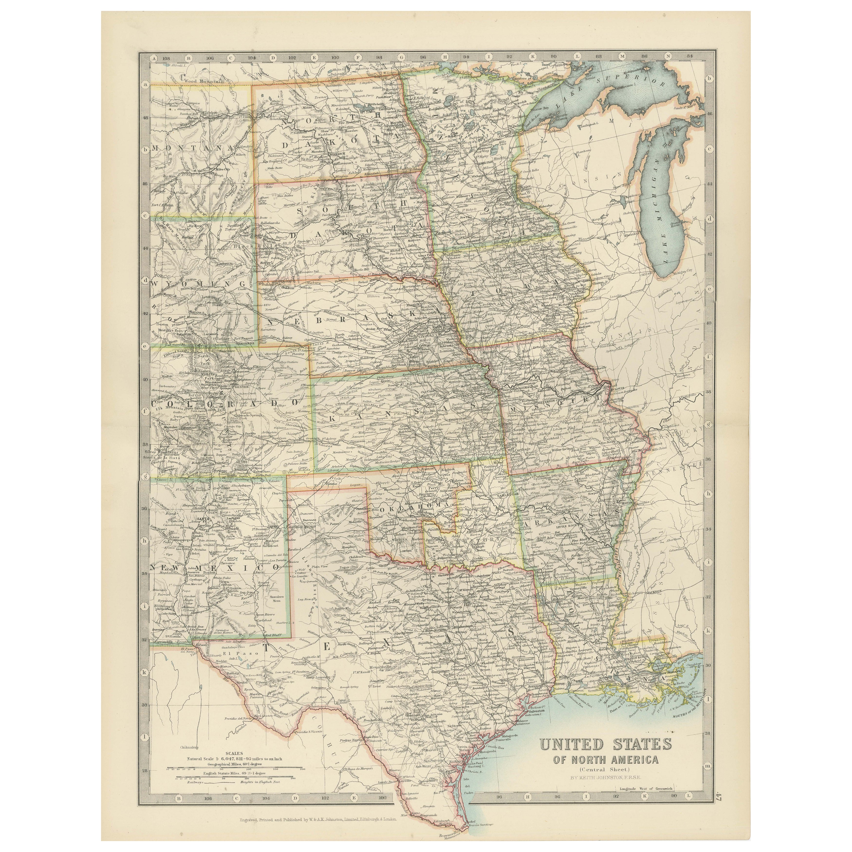
Map of United States Central Sheet 1903 – Railroads, States, and Topography
Located in Langweer, NL
Map of United States Central Sheet 1903 – Railroads, States, and Topography
This is a finely engraved and beautifully colored map titled "United States of North America (Central She...
Category
Early 20th Century English Maps
Materials
Paper
$323 Sale Price
20% Off
Antique Map of the United States
North East
by Johnston
1909
Located in Langweer, NL
Antique map titled 'United States of North America'. Original antique map of United States of North America ( North East ). This map orig...
Category
Early 20th Century Maps
Materials
Paper

$237 Sale Price
20% Off
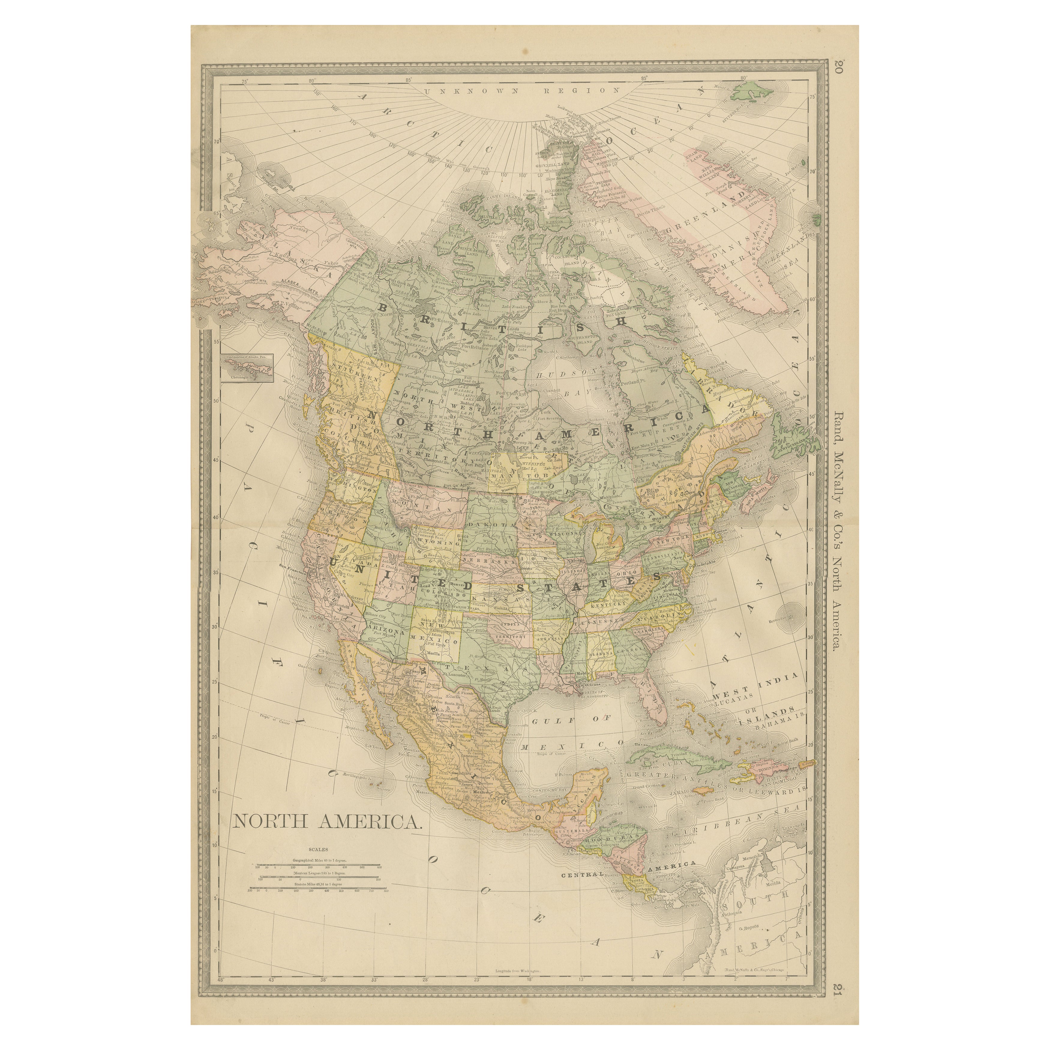
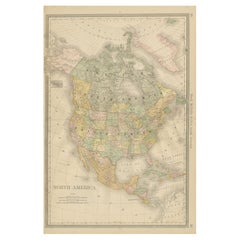
North America Antique Railroad Map c.1888 – U.S., Canada
Mexico
Located in Langweer, NL
Antique Map of North America – Rand McNally, circa 1888
This antique map of North America, published by Rand, McNally & Co. circa 1888, offers a comprehensive view of the continent ...
Category
Antique Late 19th Century American Maps
Materials
Paper
You May Also Like
Large Original Antique Map of the United States of America. 1891
By Rand McNally
Co.
Located in St Annes, Lancashire
Fabulous map of The United States
Original color
By Rand, McNally & Co.
Dated 1891
Unframed
Free shipping.
Category
Antique 1890s American Maps
Materials
Paper

Original Antique Map of United States, Grattan and Gilbert, 1843
Located in St Annes, Lancashire
Great map of United States
Drawn and engraved by Archer
Published by Grattan and Gilbert. 1843
Original colour
Unframed.
Category
Antique 1840s English Maps
Materials
Paper

1866 "Johnson
s United States" Map, Published by Johnson and Ward
Located in Colorado Springs, CO
Presented is a detailed map of the United States by A. J. Johnson. Spanning the whole of the continental United States, as well as adjacent parts of Canada and Mexico, the map reflec...
Category
Antique 1860s American Victorian Maps
Materials
Paper

Original Antique Map of The United States of America by Dower, circa 1835
Located in St Annes, Lancashire
Nice map of the USA
Drawn and engraved by J.Dower
Published by Orr & Smith. C.1835
Unframed.
Free shipping
Category
Antique 1830s English Maps
Materials
Paper

Large Original Vintage Map of North America, circa 1920
Located in St Annes, Lancashire
Great map of North America
Original color. Good condition
Published by Alexander Gross
Unframed.
Category
Vintage 1920s English Edwardian Maps
Materials
Paper

North America. Century Atlas antique vintage map
Located in Melbourne, Victoria
'The Century Atlas. North America'
Original antique map, 1903.
Central fold as issued. Map name and number printed on the reverse corners.
Sheet 40cm by 29.5cm.
Category
Early 20th Century Victorian More Prints
Materials
Lithograph

More Ways To Browse
The Vintage Map
Railroad Collectibles
Large Vintage Map
Vintage State Maps
Native American Oklahoma
Rand Mcnally Vintage Maps
Miniature Maps
Antique Maps Of Wales
Swiss Antiques And Collectables
Map Stand
Caribbean Antique Furniture
West Indies Furniture
Railroad Collectibles
Antique Map Denmark
American West Furniture
Antique Railroad Collectibles
Gold Maps
World Map Of Trade Routes