Items Similar to Antique South America Map, English, Framed Cartography, De La Rochette, Georgian

Want more images or videos?
Request additional images or videos from the seller
1 of 13
Antique South America Map, English, Framed Cartography, De La Rochette, Georgian
$1,823.73
£1,325
€1,550.23
CA$2,492.51
A$2,713.30
CHF 1,440.22
MX$32,646.80
NOK 18,249.53
SEK 16,721.73
DKK 11,577
About the Item
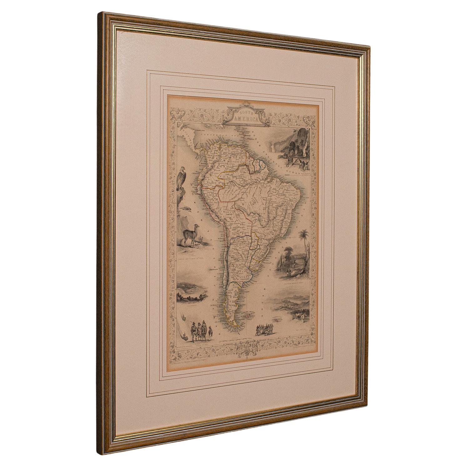
This is a superb antique map of South America. An English, framed cartographic engraving by Louis Stanislas De La Rochette, dating to the Georgian period and later, circa 1790. A fascinating example of late 18th century mapping, elegantly presented for display.
Delightful Georgian period cartography depicting the continent of South America in fine detail
Engraved by De La Rochette and printed in London for John Bowles, publisher of fine maps and atlases
Drawn with reference to the acclaimed work of Jean-Baptiste Bourguignon d’Anville (1697–1782)
d'Anville was noted for his scientific precision and influence on 18th century geography
Set within a later antique frame, displaying a time-worn patina and gentle signs of age
Presented behind clear glazing for protection and clarity of viewing
Dressed to the rear with mounting wire, ready for ease of hanging and immediate display
Displays a fascinating level of detail, illustrating early territorial divisions, parallels, and natural features
A fine example of Georgian cartographic art, this antique South America map by De La Rochette offers a rare opportunity to appreciate both historic geography and period craftsmanship. Ideal for collectors and admirers of 18th century exploration. Delivered ready to display.
Dimensions:
Max Width: 73cm (28.75'')
Max Depth: 3cm (1.25'')
Max Height: 56cm (22'')
Map Width: 66cm (26'')
Map Height: 49cm (19.25'')
- Dimensions:Height: 22.05 in (56 cm)Width: 28.75 in (73 cm)Depth: 1.19 in (3 cm)
- Style:Georgian (Of the Period)
- Materials and Techniques:
- Place of Origin:
- Period:1790-1799
- Date of Manufacture:Circa 1790
- Condition:Wear consistent with age and use. Presented in good antique condition.
- Seller Location:Hele, Devon, GB
- Reference Number:Seller: 256101stDibs: LU2645347308962
About the Seller
5.0
Platinum Seller
Premium sellers with a 4.7+ rating and 24-hour response times
Established in 2005
1stDibs seller since 2017
1,088 sales on 1stDibs
Typical response time: <1 hour
- ShippingRetrieving quote...Shipping from: Hele, Devon, United Kingdom
- Return Policy
More From This Seller
View AllAntique Lithography Map, South America, English, Framed, Cartography, Victorian
Located in Hele, Devon, GB
This is an antique lithography map of South America. An English, framed atlas engraving of cartographic interest by John Rapkin , dating to the early Victorian period and later, circ...
Category
Antique Mid-19th Century British Early Victorian Maps
Materials
Wood

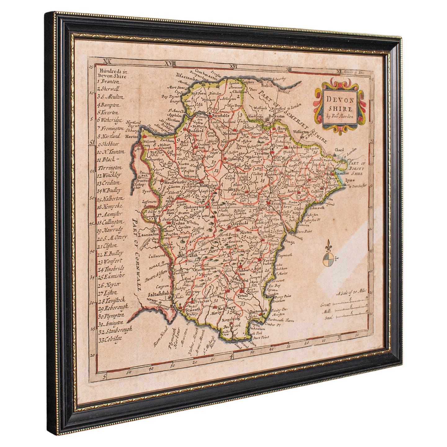
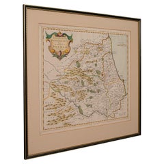
Antique Devonshire Map, English Framed Robert Morden Devon Cartography, Georgian
Located in Hele, Devon, GB
This is a small antique map of Devonshire, an English framed cartographic engraving by Robert Morden, dating to the early Georgian period, circa 1720. A charming and historically ric...
Category
Antique 1720s British Georgian Maps
Materials
Glass, Paper

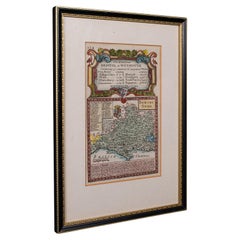
Antique Lithography Map, Durham, English, Framed, Cartography, Early Georgian
Located in Hele, Devon, GB
This is an antique lithography map of Durham. An English, framed engraving of cartographic interest, dating to the early 18th century and later, circa 1720.
Superb lithography of Du...
Category
Antique Early 18th Century British Georgian Maps
Materials
Wood
Antique Road Map, Bristol to Weymouth, English, Framed Cartography, Georgian
Located in Hele, Devon, GB
This is an antique coaching road map of Bristol to Weymouth. An English, framed lithograph engraving of regional interest with second map to reverse, dating to the mid 18th century ...
Category
Antique Mid-18th Century British George II Maps
Materials
Glass, Wood, Paper
Antique Lithography Map, West Africa, English, Framed, Cartography, Victorian
Located in Hele, Devon, GB
This is an antique lithography map of Western Africa. An English, framed atlas engraving of cartographic interest by John Rapkin, dating to the early Victorian period and later, circ...
Category
Antique Mid-19th Century British Early Victorian Maps
Materials
Wood

Antique North America Map, USA, Canada, Mexico, Cartography, Colton, Victorian
Located in Hele, Devon, GB
This is an antique North America map. A USA, framed lithography atlas engraving of the continent by JH Colton, dating to the Victorian period and later, circa 1860.
Fascinating, large framed map...
Category
Antique Mid-19th Century American Victorian Maps
Materials
Paper

You May Also Like
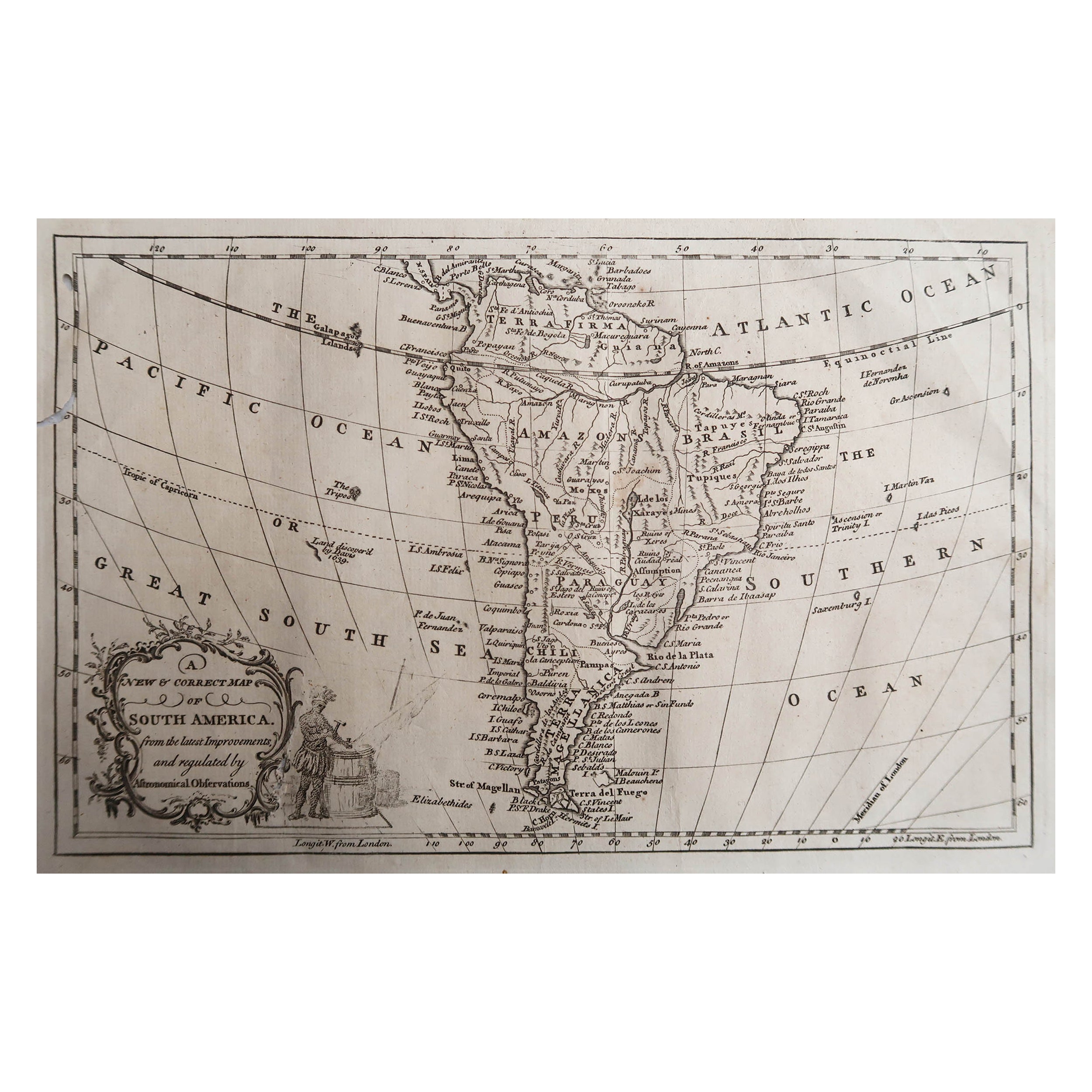
Original Antique Map of South America. C.1780
Located in St Annes, Lancashire
Great map of South America
Copper-plate engraving
Published C.1780
Two small worm holes to left side of map
Unframed.
Category
Antique Early 1800s English Georgian Maps
Materials
Paper

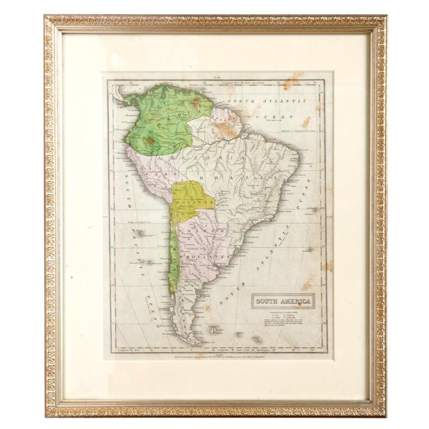
Antique Map of South America in Roma Frame
Located in Malibu, CA
Antique map of South America. Displayed in a new Roma frame with museum quality matting. Custom frame in platinum. No print date, but cert...
Category
Antique Late 19th Century Victorian Prints
Materials
Hardwood, Paper

$262 Sale Price
30% Off
South America: Hand-colored 18th Century Framed Map by Thomas Jefferys
By Thomas Jefferys
Located in Alamo, CA
This detailed hand-colored map of South America by Thomas Jefferys was published in London in 1750. The map shows countries, early colonial possessions, towns, rivers, mountains, and...
Category
Antique Mid-18th Century English Maps
Materials
Paper

$460 Sale Price
20% Off
Vincenzo Coronelli
s Colored Map of the New World Western Hemisphere Framed 47"
By Vincenzo Coronelli
Located in Dayton, OH
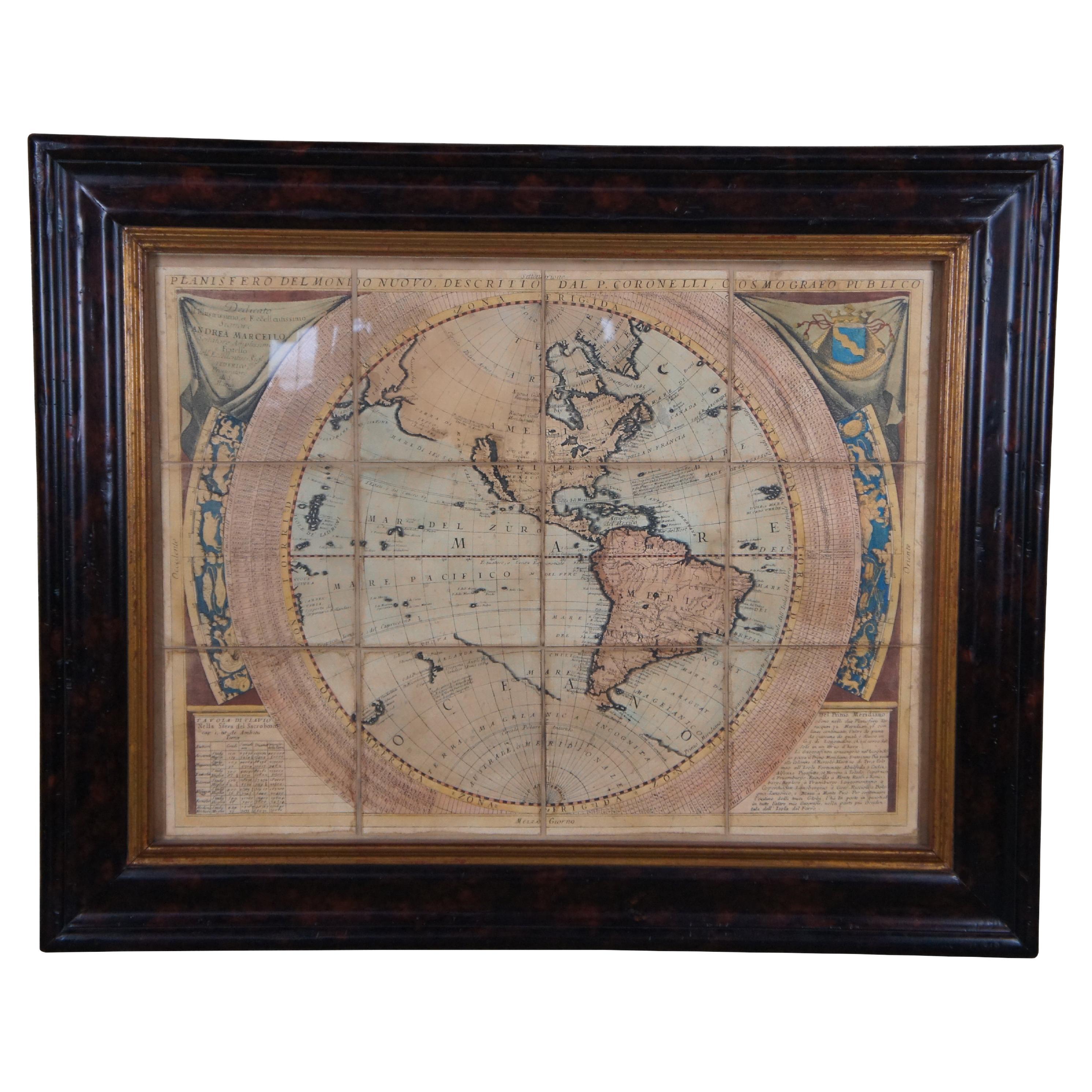
A Framed Reproduction of Coronelli's Map of the New World, Attributed to Trevor James Company. The map shows the Western Hemisphere including the discoveries made by Abel Tasman in A...
Category
20th Century Maps
Materials
Paper

$945 Sale Price
30% Off
New Map of North America from the Latest Discoveries, 1763
Located in Philadelphia, PA
A fine antique 18th century map of the North American seaboard.
Entitled "A New Map of North America from the Latest Discoveries 1763".
By the Cartographer/Engraver - John Spil...
Category
Antique Mid-18th Century English Georgian Maps
Materials
Paper

A Hand Colored 18th Century Framed Map of South America by Thomas Jefferys
Located in Alamo, CA
This detailed hand colored map of South America by Thomas Jefferys was published in London in 1750. The map shows countries, early colonial possessions, towns, rivers, mountains, and...
Category
Mid-18th Century Other Art Style Landscape Prints
Materials
Engraving
