Items Similar to Australia or New Holland Map with Inset Regions by Noothoven van Goor, 1876
Want more images or videos?
Request additional images or videos from the seller
1 of 13
Australia or New Holland Map with Inset Regions by Noothoven van Goor, 1876
$706.07
£528.57
€590
CA$972
A$1,062.59
CHF 562.16
MX$12,715.55
NOK 7,152.63
SEK 6,547.51
DKK 4,495.07
About the Item
Australia or New Holland Map with Inset Regions by Noothoven van Goor, 1876
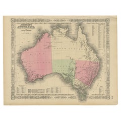
This detailed 19th-century map, titled “Vaste Land van Australië, of Nieuw-Holland,” was published in Leiden by D. Noothoven van Goor for the *Nieuwe Hand-Atlas der Aarde* (circa 1876). It presents one of the most accurate Dutch depictions of Australia at a time when the young colonies were rapidly expanding and major inland explorations were still shaping the world’s understanding of the continent. The map displays the major colonial divisions—Western Australia, South Australia, Queensland, New South Wales, and Victoria—outlined in delicate original hand-colouring, with Tasmania and several regional insets offering additional geographic precision.
Western Australia is shown as a vast and mostly unmapped interior, with early settlement centres such as Perth, Fremantle, Albany, and Geraldton marked along the coastal fringe. The map still labels large interior regions as “Onbekend District,” reflecting the limited European knowledge before the completion of major expeditions. South Australia, extending north toward present-day Northern Territory, includes Adelaide and the early overland routes that connected the southern colonies.
Queensland is depicted with a clear boundary line rising up the eastern coast, showing towns such as Brisbane, Rockhampton, and Maryborough, as well as early pastoral districts. To the south, New South Wales and Victoria are presented in fine detail, with extensive road networks, rivers, and town names illustrating the development of the colonies during the Victorian gold rush era. Sydney, Melbourne, Geelong, Bathurst, Ballarat, Bendigo, and many other important settlements appear prominently.
The map includes multiple inset maps that greatly enhance its historical and geographic value. These insets show the detailed regions of Victoria, Tasmania (then Van Diemen’s Land), South Australia, and Sydney and Port Jackson. Each inset provides a closer look at settlement grids, rivers, mountain ranges, and coastal features as they were documented in the mid-to-late 19th century. The inclusion of these insets demonstrates the publisher’s intention to provide both a broad overview and a practical reference tool for travellers, educators, and scholars.
This map is a strong example of Dutch scientific cartography at a time when Australia was emerging as a unified geographic and political entity. The engraving is finely executed, with clear typography and decorative shading, making it an appealing decorative piece as well as a historical document.
Condition report:
Good condition overall. Light toning consistent with age. Scattered foxing in margins and around fold. Original center fold as issued. Hand-colouring clear and bright. No major tears or repairs observed.
Framing tips:
An ivory or light cream mat complements the subtle colour washes. A dark walnut, oak, or black frame creates strong contrast and gives the map a refined gallery appearance. For a more contemporary look, a thin metal frame with generous white matting works beautifully for large-format cartography.
Keyword block:
Australia, New Holland, Western Australia, South Australia, Queensland, New South Wales, Victoria, Tasmania, Sydney, Melbourne, 19th century map, Noothoven van Goor, Dutch cartography, colonial Australia, historical map, Van Diemen’s Land, Port Jackson, Adelaide, Brisbane, gold rush era, antique atlas, 1876.
- Dimensions:Height: 17.33 in (44 cm)Width: 21.66 in (55 cm)Depth: 0.01 in (0.2 mm)
- Materials and Techniques:
- Place of Origin:
- Period:
- Date of Manufacture:1876
- Condition:Good condition overall. Light toning consistent with age. Scattered foxing in margins and around fold. Original center fold as issued. Hand-colouring clear and bright. No major tears or repairs observed.
- Seller Location:Langweer, NL
- Reference Number:Seller: BG-12788-311stDibs: LU3054347571312
About the Seller
5.0
Recognized Seller
These prestigious sellers are industry leaders and represent the highest echelon for item quality and design.
Platinum Seller
Premium sellers with a 4.7+ rating and 24-hour response times
Established in 2009
1stDibs seller since 2017
2,793 sales on 1stDibs
Typical response time: <1 hour
- ShippingRetrieving quote...Shipping from: Langweer, Netherlands
- Return Policy
More From This Seller
View AllAntique Map of Australia, 1903, with Colonial Divisions and Detailed Topography
Located in Langweer, NL
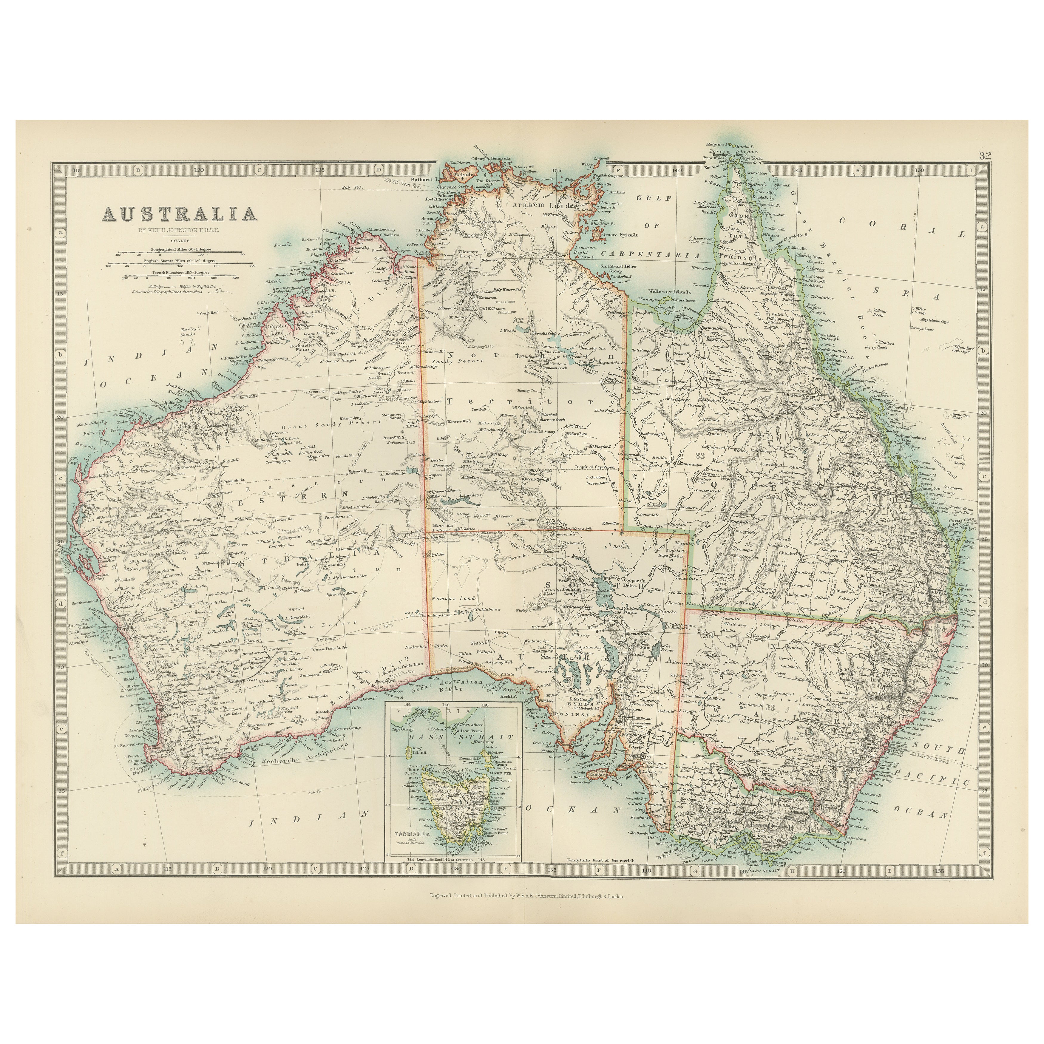
Title: Antique Map of Australia, 1903, with Colonial Divisions and Detailed Topography
Description: This antique map, titled "Australia," was engraved and published in 1903 by W. & ...
Category
Early 20th Century Maps
Materials
Paper

Antique Map of Australia and Oceania – Physical Relief Map by Hachette, c.1883
Located in Langweer, NL
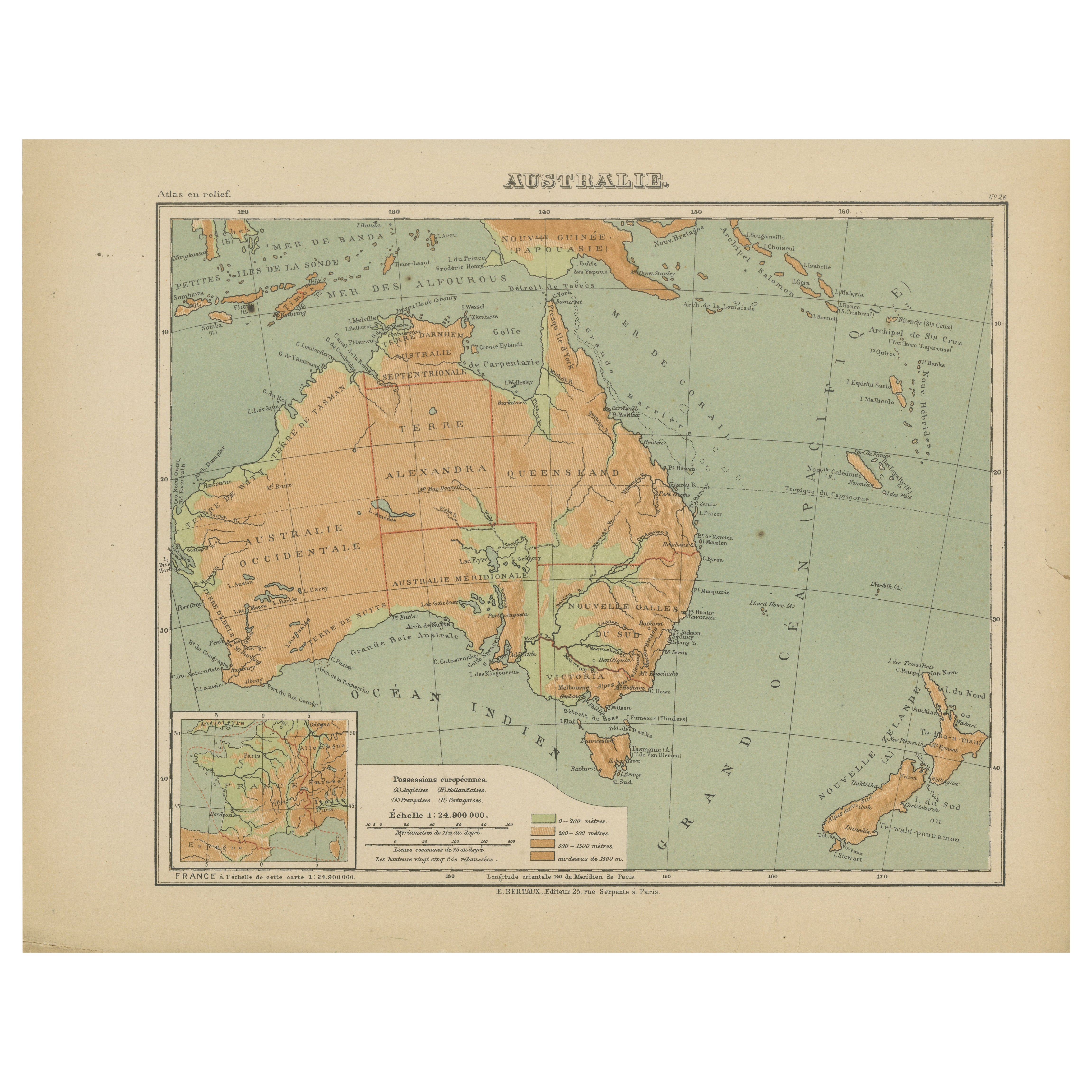
Antique Map of Australia and Oceania – Physical Relief Map by Hachette, c.1883
Description:
This antique map titled “Australie” was published circa 1883 by Hachette in Paris as part...
Category
Antique Late 19th Century French Maps
Materials
Paper
Antique Map of South Australia, New South Wales, Victoria and Queensland, 1903
Located in Langweer, NL
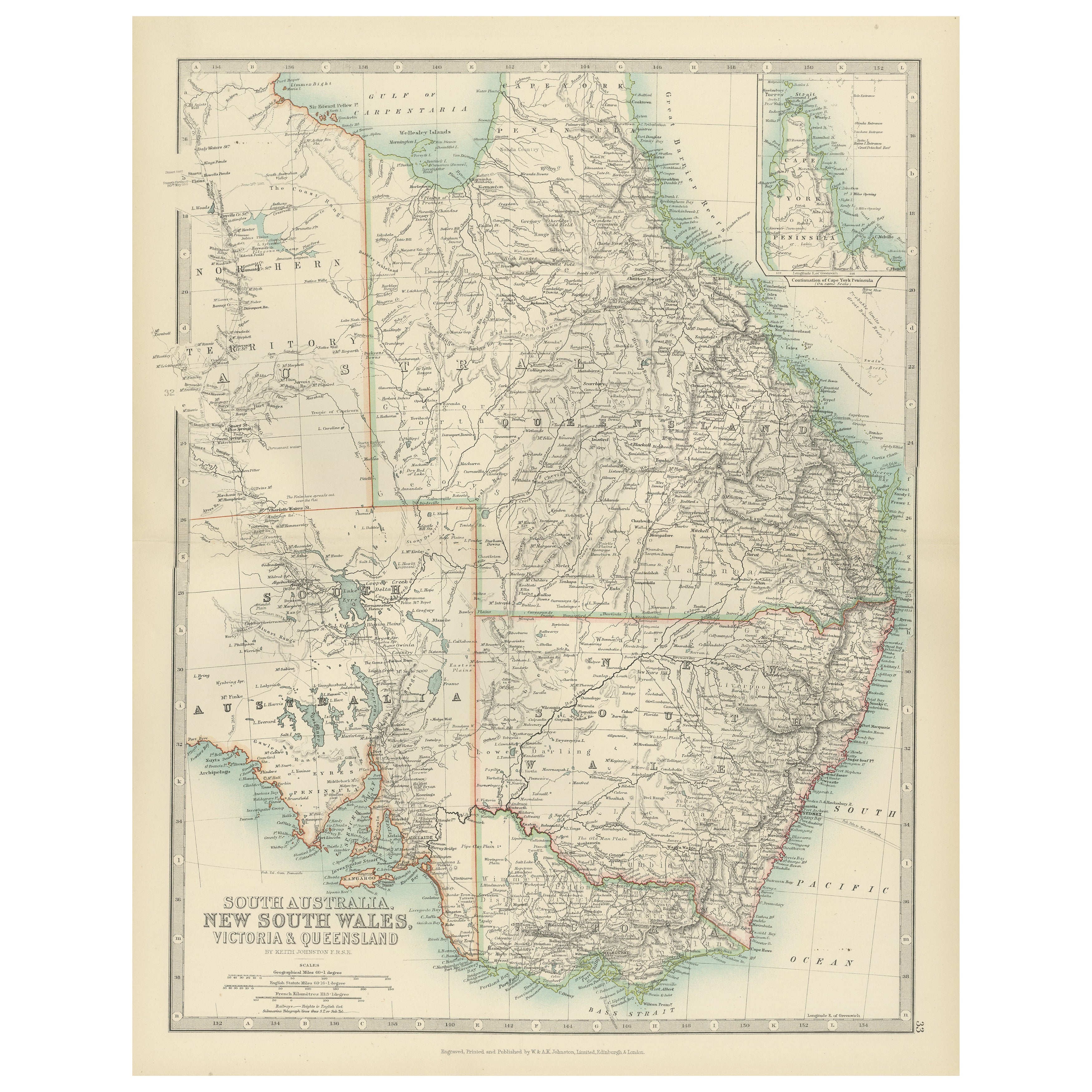
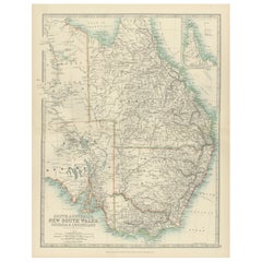
Title: Antique Map of South Australia, New South Wales, Victoria, and Queensland, 1903
Description:
This antique map, titled "South Australia, New South Wales, Victoria, and Queensl...
Category
Early 20th Century Maps
Materials
Paper
Johnson’s Australia Map, USA Published c.1864 – Decorative Hand-Colored Map
Located in Langweer, NL
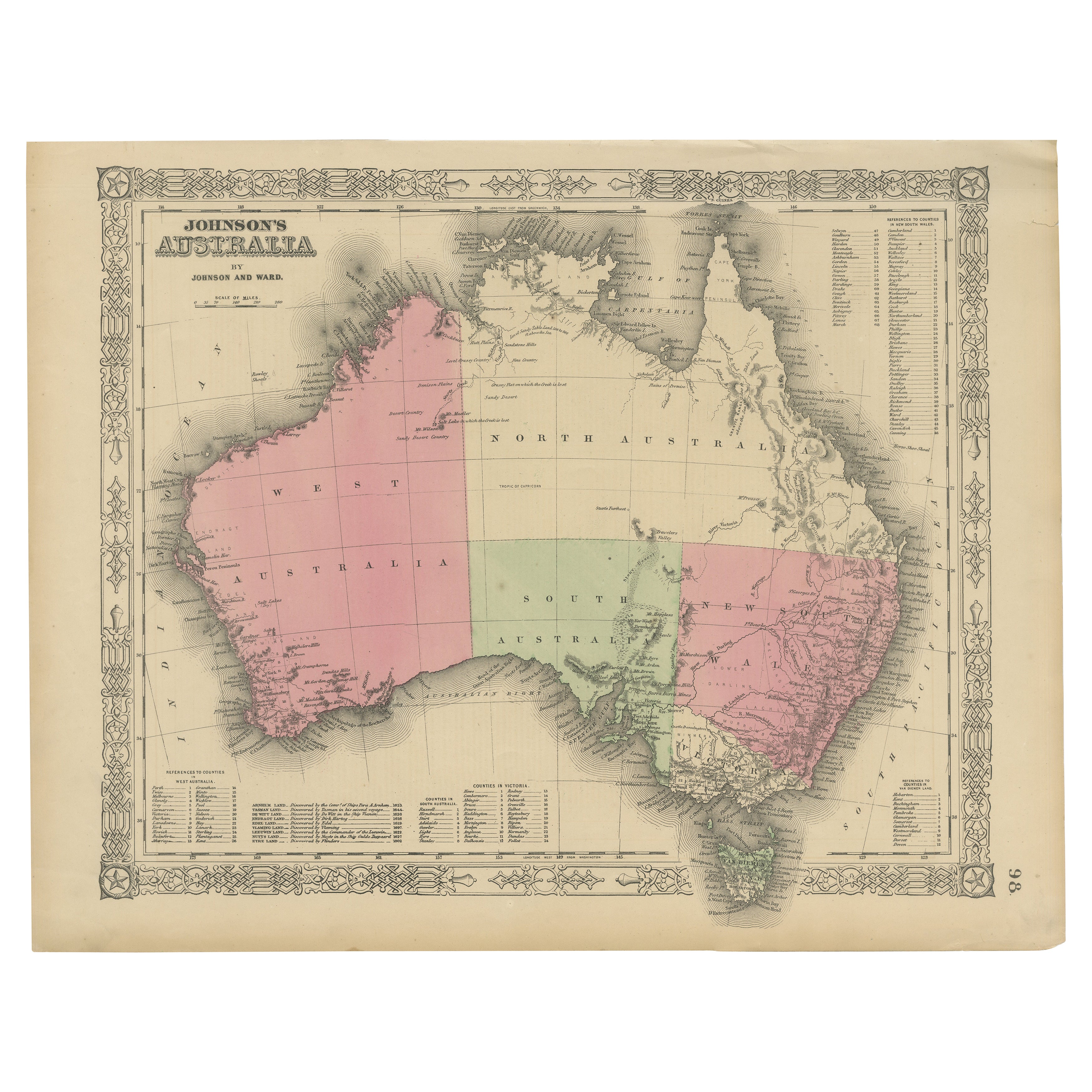
Johnson’s Australia Map, USA Published c.1864 – Decorative Hand-Colored Map
This is a finely engraved and hand-colored map titled Johnson’s Australia published by Johnson and Ward i...
Category
Antique Mid-19th Century American Maps
Materials
Paper
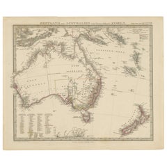
Australia, New Zealand, and Neighbouring Islands Map 1858
Located in Langweer, NL
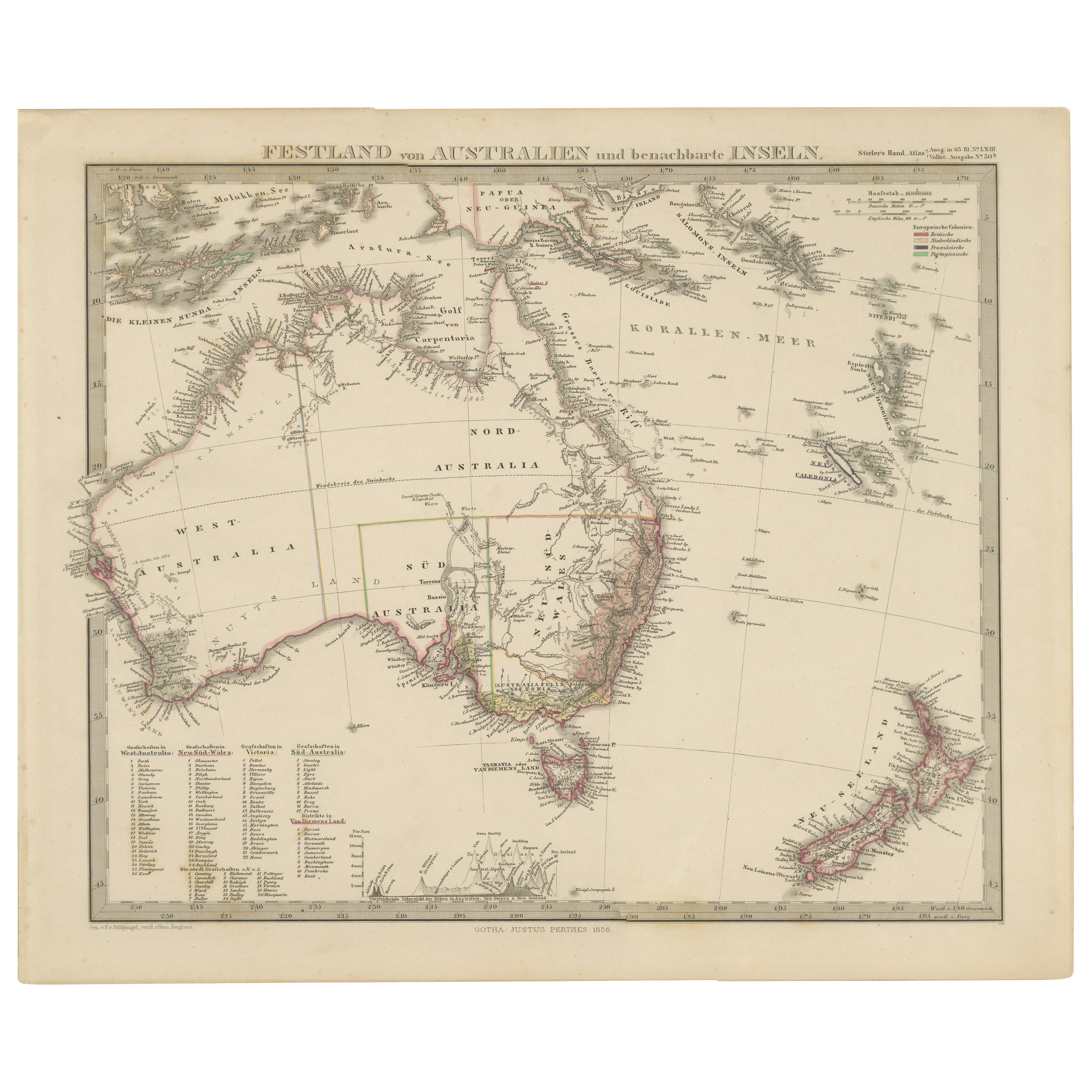
Australia and Neighbouring Islands Map 1858
This attractive antique print shows “Festland von Australien und benachbarte Inseln” meaning “Mainland Australia and neighbouring islands...
Category
Antique Mid-19th Century German Maps
Materials
Paper
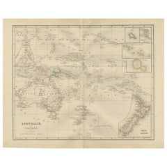
Australia and Polynesia with New Zealand – Noothoven van Goor, 1876 Map
Located in Langweer, NL
Australia and Polynesia with New Zealand – Noothoven van Goor, 1876 Map
This finely engraved 19th-century map, titled “Australië en Polynesie,” was published in Leiden by D. Noothov...
Category
Antique 1870s Dutch Maps
Materials
Paper
You May Also Like
Original Antique Map of Australia by Dower, circa 1835
Located in St Annes, Lancashire
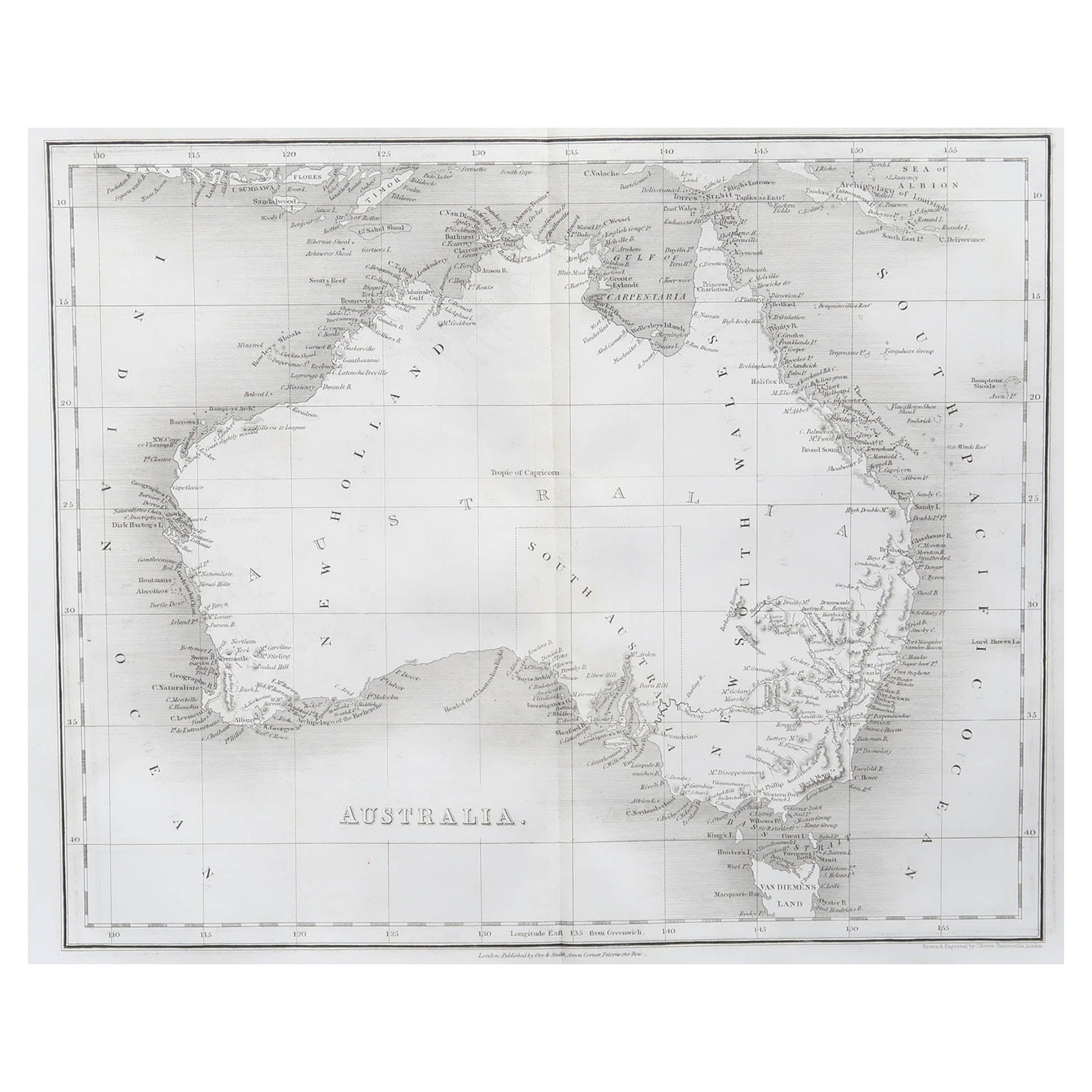
Nice map of Australia
Drawn and engraved by J.Dower
Published by Orr & Smith. C.1835
Unframed.
Free shipping
Category
Antique 1830s English Maps
Materials
Paper

Australia, Tallis antique map, 1851
Located in Melbourne, Victoria
'Australia'
With decorative border surrounds and vignettes including a view of Sydney, Kangaroos, Natives of Australia Felix, Australian Parrots and Cockatoos and Natives of the Tri...
Category
19th Century Naturalistic Landscape Prints
Materials
Engraving

Large Original Antique Map of Australia by Sidney Hall, 1847
Located in St Annes, Lancashire
Great map of Australia
Drawn and engraved by Sidney Hall
Steel engraving
Original colour outline
Published by A & C Black. 1847
Unframed
Free shipping.
Category
Antique 1840s Scottish Maps
Materials
Paper

Vintage Australia Map, Framed, Historic 19th Century Cartography Interest, 1988
Located in Hele, Devon, GB
This is a vintage Australia map. A late 20th century reproduction of John Tallis’ original 1850 steel engraving, produced to mark the 1988 Australian Bicentennial.
Fascinating repro...
Category
1990s Australian Victorian Maps
Materials
Glass, Paper

New South Wales, Australia, antique mid 19th century engraved John Tallis map
Located in Melbourne, Victoria
'New South Wales'
With decorative border surrounds and vignettes of 'Sydney Cove'. 'The Murray' and 'Xanthorrhea'.
'Drawn and engraved by J Rapkin'. Published by John Tallis.
375m...
Category
1840s Victorian Landscape Prints
Materials
Engraving

Ancient Map of Oceania - Original Etching - 19th century
Located in Roma, IT
This Map of Oceania is an etching realized in the 19th century.
The state of preservation of the artwork is good. At the top of the paper, the inscription “Longitudine del Meridiano...
Category
19th Century More Prints
Materials
Etching
