Items Similar to Decorative 1864 Civil War Era Map of Indiana with Lake Michigan Detail

Want more images or videos?
Request additional images or videos from the seller
1 of 10
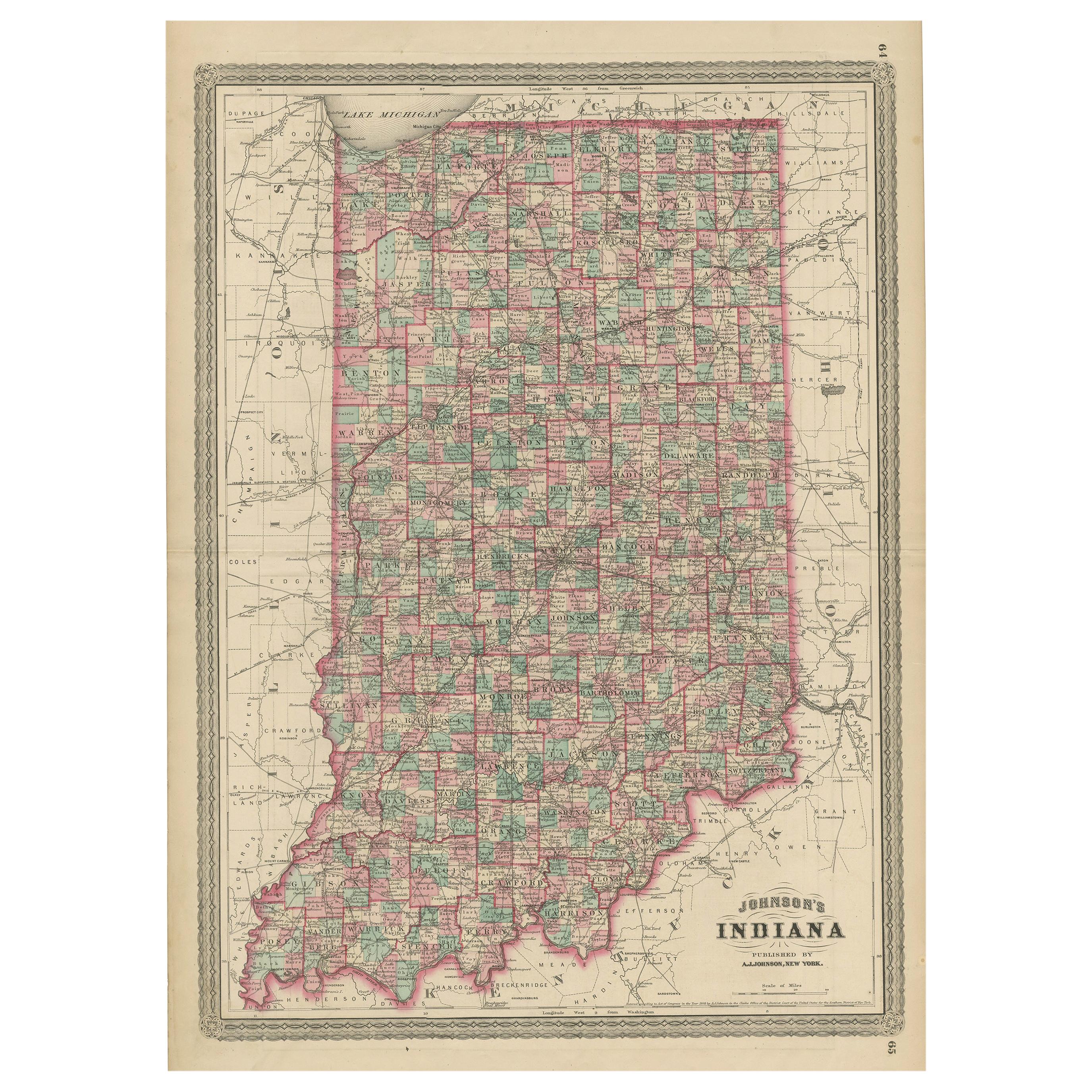
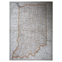
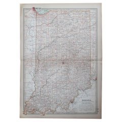
Decorative 1864 Civil War Era Map of Indiana with Lake Michigan Detail
$407.99
£302.34
€340
CA$557.60
A$606.99
CHF 322.19
MX$7,303.39
NOK 4,082.59
SEK 3,740.81
DKK 2,589.88
About the Item
Title: Rare 1864 Civil War Era Map of Indiana with Lake Michigan Detail
Description: This finely detailed antique map, titled "Johnson's Indiana," was published in 1864 by Johnson and Ward, a renowned American mapmaking firm celebrated for their precise and visually appealing atlases during the mid-19th century.
The map meticulously illustrates the state of Indiana, showcasing counties, towns, railroads, and geographical features of the period. Each county is outlined in a vibrant pink, with a soft green wash filling the background, creating a striking contrast that highlights the state’s topography. A decorative border frames the map, adding to its antique charm, while the map prominently features Lake Michigan along the northwestern border, with fine engravings of its coastline.
The map was produced using the steel engraving technique, known for its precision and ability to render fine lines and intricate details, as evident in the crisp text and delicate linework.
What makes this map particularly compelling is its historical context—created during the Civil War, it captures Indiana at a critical time, reflecting its role as a key Union state with a growing network of railroads and urban centers like Indianapolis. The map also highlights the Ohio River along the southern border, emphasizing Indiana’s strategic importance for trade and transportation.
Collectors and historians will treasure this map for its ability to transport viewers to a pivotal moment in American history, blending functional cartography with artistic elegance, making it an exceptional piece for any collection of antique maps or Midwest memorabilia.
Condition Report: The map is in good condition for its age, with light toning and minor foxing along the edges. Small tears are present at the fold lines, but there are no significant losses. The colors remain vivid, and the paper is intact with slight wear.
Framing Tips: Use an acid-free mat to prevent discoloration and UV-protective glass to shield from light damage. A soft ivory or off-white matting board is recommended, as it complements the aged cream tone of the map’s paper, creating a cohesive and elegant look. This neutral color allows the pink and green hues to stand out without distraction, maintaining a classic, museum-quality presentation that appeals to collectors. It also enhances the map’s historical charm by blending seamlessly with its vintage appearance.
For a subtle contrast, a pale sage green could also work, picking up on the green shading in the map while keeping the focus on its details. Avoid bold or dark colors. A classic wooden frame with a gold accent enhances the map’s vintage charm. Avoid tight pressing to reduce stress on the folds.
- Dimensions:Height: 26.38 in (67 cm)Width: 18 in (45.7 cm)Depth: 0.01 in (0.2 mm)
- Materials and Techniques:
- Period:
- Date of Manufacture:1864
- Condition:The map is in good condition for its age, with light toning and minor foxing along the edges. Small tears are present at the fold lines, but there are no significant losses. The colors remain vivid, and the paper is intact with slight wear.
- Seller Location:Langweer, NL
- Reference Number:Seller: BG-13952-221stDibs: LU3054345074162
About the Seller
5.0
Recognized Seller
These prestigious sellers are industry leaders and represent the highest echelon for item quality and design.
Platinum Seller
Premium sellers with a 4.7+ rating and 24-hour response times
Established in 2009
1stDibs seller since 2017
2,819 sales on 1stDibs
Typical response time: 1 hour
- ShippingRetrieving quote...Shipping from: Langweer, Netherlands
- Return Policy
More From This Seller
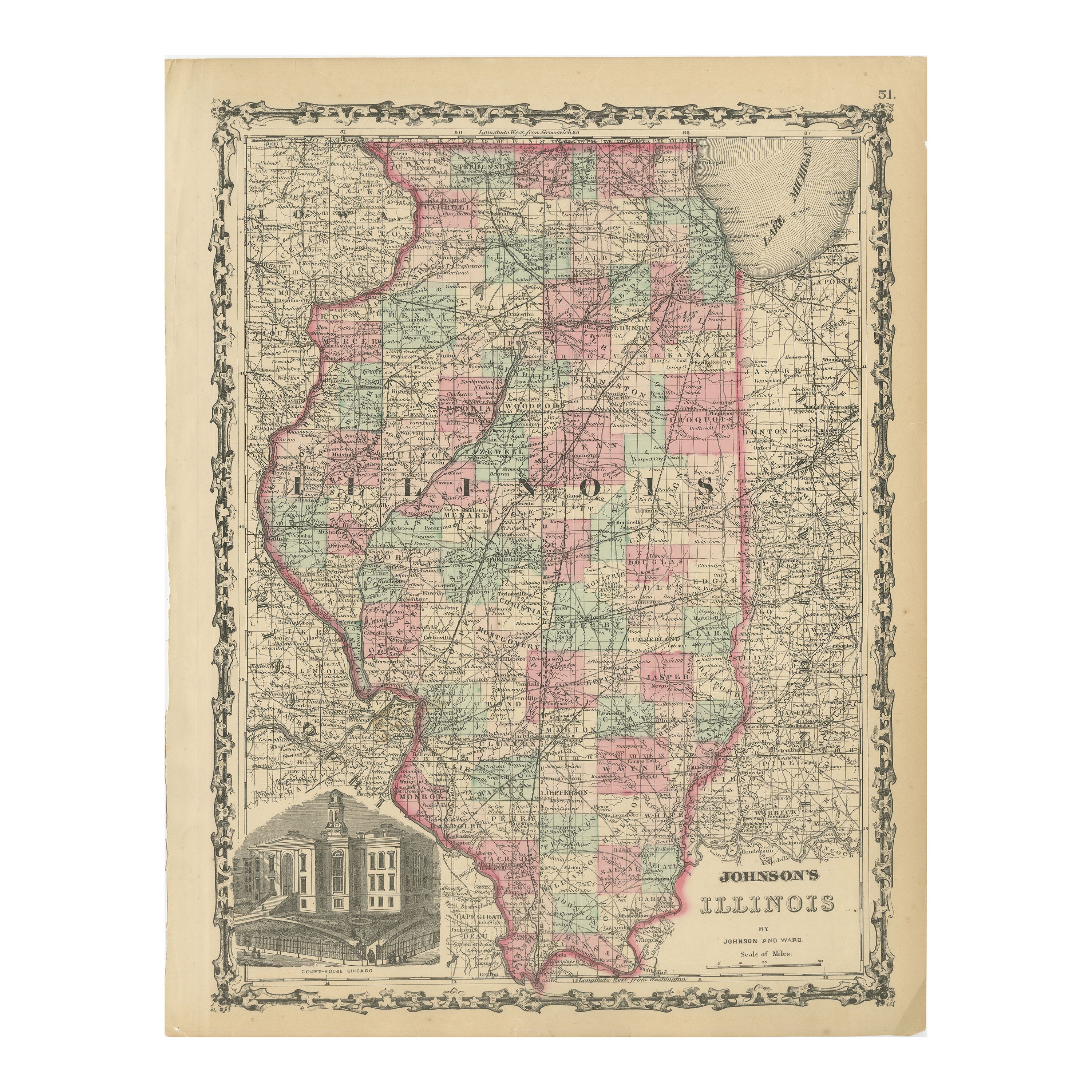
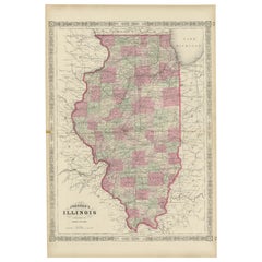
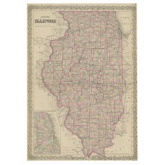
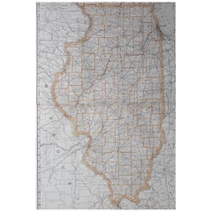
View AllRare 1864 Civil War Era Map of Illinois with Lake Michigan Detail
Located in Langweer, NL
Title: Rare 1864 Civil War Era Map of Illinois with Lake Michigan Detail
Description: This intricately detailed antique map, titled "Johnson's Illinois," was published in 1864 by Jo...
Category
Antique 1860s Maps
Materials
Paper
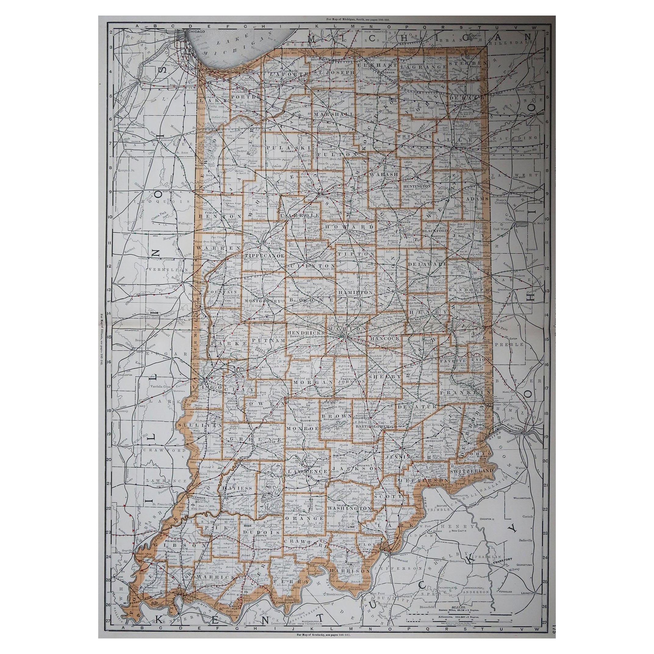
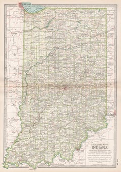
Antique Map of Indiana by Johnson, 1872
Located in Langweer, NL
Antique map titled 'Johnson's Indiana'. Original map of Indiana. This map originates from 'Johnson's New Illustrated Family Atlas of the World' by A.J. ...
Category
Antique Late 19th Century Maps
Materials
Paper

$179 Sale Price
40% Off
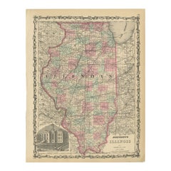
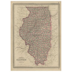
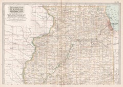
Johnson’s Illinois Map, USA c.1864 – Hand-Colored with Chicago Courthouse View
Located in Langweer, NL
Johnson’s Illinois Map, USA c.1864 – Hand-Colored with Chicago Courthouse View
This is a finely engraved and hand-colored map titled Johnson’s Illinois, published by Johnson and War...
Category
Antique Mid-19th Century American Maps
Materials
Paper
Antique Map of Illinois by Johnson, 1872
Located in Langweer, NL
Antique map titled 'Johnson's Illinois'. Original map of Illinois. This map originates from 'Johnson's New Illustrated Family Atlas of the World' by A....
Category
Antique Late 19th Century Maps
Materials
Paper
$239 Sale Price
20% Off
Colton
s Map of Illinois, with an Inset of Chicago
Located in Langweer, NL
Antique map titled 'Colton's Illinois'. Antique map of Illinois, a state in the Midwestern United States. With an inset map of of Cook County &...
Category
Antique Mid-19th Century Maps
Materials
Paper
$230 Sale Price
20% Off
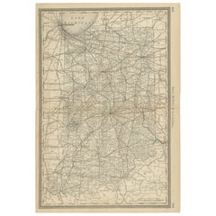
Antique Map of Indiana – The Hoosier State with Railroads
Counties, 1888
Located in Langweer, NL
Antique Map of Indiana – The Hoosier State with Railroads & Counties, 1888
This antique engraved map of Indiana, published in 1888 by Rand, McNally & Co. in Chicago for their *Impro...
Category
Antique Late 19th Century American Maps
Materials
Paper
You May Also Like
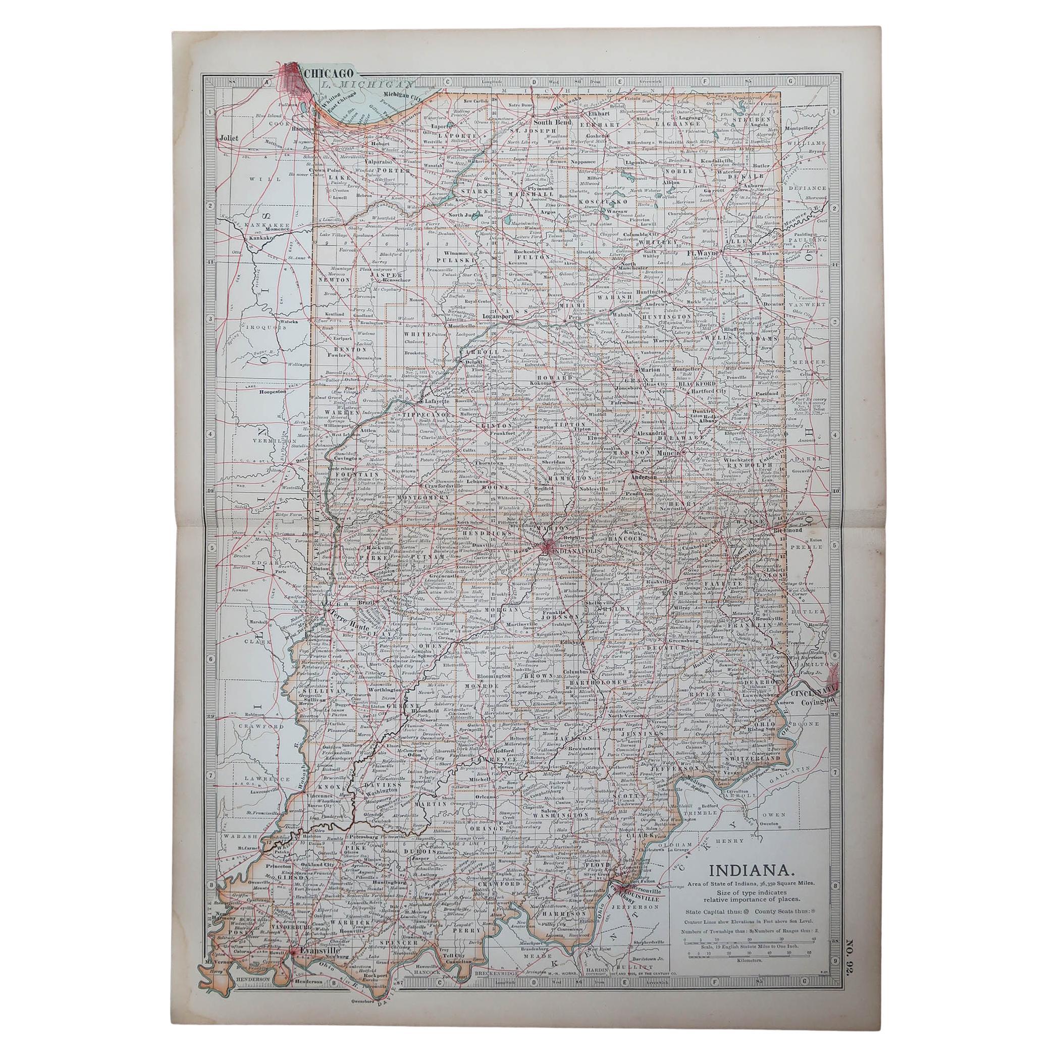
Large Original Antique Map of Indiana, USA, 1894
By Rand McNally
Co.
Located in St Annes, Lancashire
Fabulous map of Indiana.
Original color.
By Rand, McNally & Co.
Published, 1894.
Unframed.
Free shipping.
Category
Antique 1890s American Maps
Materials
Paper
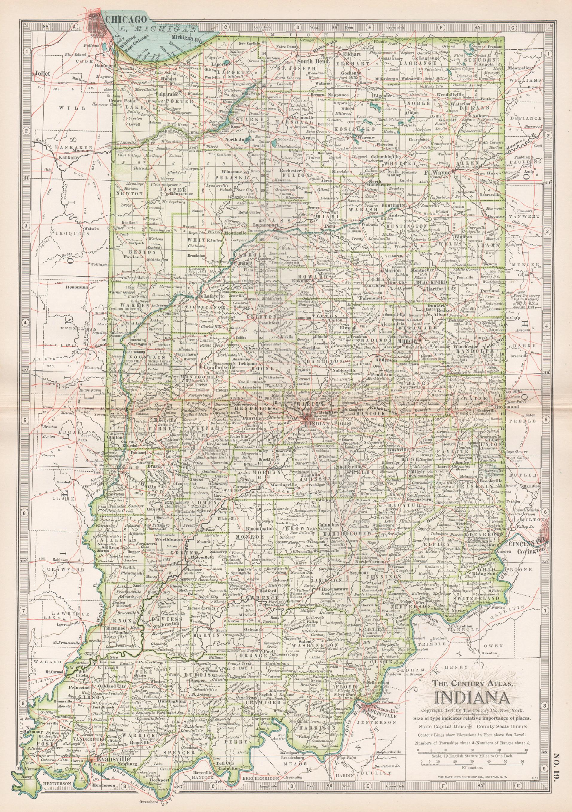
Indiana. USA. Century Atlas state antique vintage map
Located in Melbourne, Victoria
'The Century Atlas. Indiana.'
Original antique map, 1903.
Central fold as issued. Map name and number printed on the reverse corners.
Sheet 40cm by 29.5cm.
Category
Early 20th Century Victorian More Prints
Materials
Lithograph
Original Antique Map of the American State of Indiana, 1903
Located in St Annes, Lancashire
Antique map of Indiana
Published By A & C Black. 1903
Original colour
Good condition
Unframed.
Free shipping
Category
Antique Early 1900s English Maps
Materials
Paper
Large Original Antique Map of Illinois, USA, 1894
By Rand McNally
Co.
Located in St Annes, Lancashire
Fabulous map of Illinois
Original color
By Rand, McNally & Co.
Published, 1894
Unframed
Free shipping.
Category
Antique 1890s American Maps
Materials
Paper
Illinois, Northern Part. USA. Century Atlas state antique vintage map
Located in Melbourne, Victoria
'The Century Atlas. Illinois, Northern Part'
Original antique map, 1903.
Central fold as issued. Map name and number printed on the reverse corners.
Sheet 29.5cm by 40cm.
Category
Early 20th Century Victorian More Prints
Materials
Lithograph
Original Antique Map of the American State of Illinois ( Northern Part ), 1903
Located in St Annes, Lancashire
Antique map of Illinois ( Northern part )
Published By A & C Black. 1903
Original colour
Good condition
Unframed.
Free shipping
Category
Antique Early 1900s English Maps
Materials
Paper

More Ways To Browse
Round Table Base
Cream Soup
Early English Silver
James Bond
Paisley Rugs and Carpets
Antique Pagoda
Black And Chrome Lounge Chair
Ceramic 1960s Italy
Vintage 1930 Dining Room Set
Antique Brass And Copper
Antique Cow
Antique Harvest
Antique Victorian Dining Tables
Environment Furniture
Italian Plastic Chairs
Made In Belgium
Black Crystal Glasses
French Mid Century Modern Rug