Items Similar to Egypt
Arabia Petraea – Large Nile Map, British Cartography, c.1815


Want more images or videos?
Request additional images or videos from the seller
1 of 10
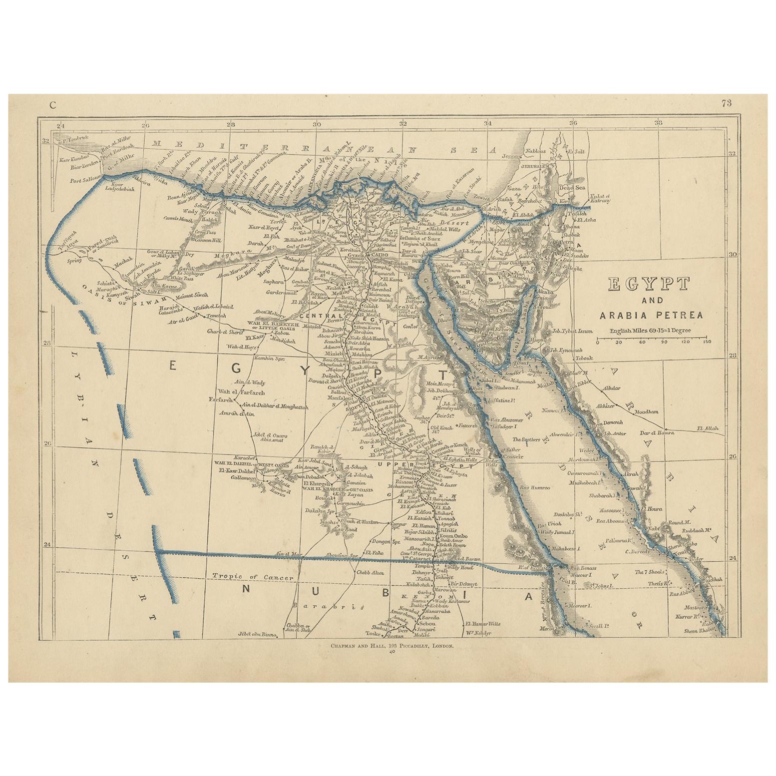
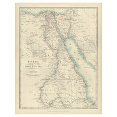
Egypt
Arabia Petraea – Large Nile Map, British Cartography, c.1815
$1,003.53
£749.99
€840
CA$1,384.42
A$1,516.36
CHF 798.37
MX$18,097.30
NOK 10,174.46
SEK 9,300.99
DKK 6,402.60
About the Item
Egypt
Arabia Petraea – Large Nile Map, British Cartography, c.1815
This impressive early 19th-century map depicts Egypt and Arabia Petraea with exceptional detail, extending from the Mediterranean Sea and the Nile Delta southward through Upper Egypt and Nubia, and eastward across the Red Sea to the Arabian Peninsula. Titled “Egypt and Arabia Petraea,” the map reflects the heightened European scholarly and strategic interest in Egypt during the years surrounding the Napoleonic campaigns and the subsequent rise of modern scientific cartography.
The Nile dominates the composition as the central geographic and cultural axis of Egypt. Its full course is meticulously traced, with branches, cataracts, settlements, ancient sites, desert routes, and regional divisions carefully engraved. The surrounding deserts, mountain ranges, and caravan paths are rendered with restraint, emphasizing the river’s singular role in sustaining civilization. To the east, Arabia Petraea and the Red Sea coastline provide essential context for ancient and early modern trade routes linking Africa, the Levant, and the Indian Ocean world.
The map belongs to the British cartographic tradition associated with the Arrowsmith circle and related London publishers, known for their emphasis on empirical accuracy, clarity, and large-scale presentation. The engraving is precise and refined, with dense but highly legible geographical information. Subtle outline color is used sparingly to distinguish coastlines and regional boundaries without disturbing the map’s calm, scholarly aesthetic.
Visually, this is a powerful wall map. Its tall vertical format, generous margins, and restrained monochrome palette give it an architectural presence that works exceptionally well in both classic and contemporary interiors. It functions equally as a collector-grade document of early modern Egypt and as a sophisticated decorative centerpiece.
This map is particularly appealing to collectors of Egyptology, Nile history, and 19th-century British cartography, as well as interior designers seeking a large, authoritative historic map with strong visual impact.
Condition report
Good condition overall. Central vertical fold as issued. Light age toning consistent with period. Minor scattered spots and faint surface marks. Original outline hand color. Plate mark visible. Margins intact.
Framing tips
This map benefits from a wide off-white or light sand-colored mat to emphasize its scale and vertical flow. A medium to dark wood frame or softly ebonized frame enhances the engraving and gives the piece a refined, museum-style presence. Particularly effective as a stand-alone statement map.
Technique: Copper engraving with contemporary outline hand color
Maker: British school (Johnston), c.1815
- Dimensions:Height: 21.46 in (54.5 cm)Width: 26.78 in (68 cm)Depth: 0.01 in (0.2 mm)
- Materials and Techniques:Paper,Engraved
- Place of Origin:
- Period:
- Date of Manufacture:circa 1815
- Condition:Good condition overall. Central vertical fold as issued. Light age toning consistent with period. Minor scattered spots and faint surface marks. Original outline hand color. Plate mark visible. Margins intact.
- Seller Location:Langweer, NL
- Reference Number:Seller: BG-14128-131stDibs: LU3054348017552
About the Seller
5.0
Recognized Seller
These prestigious sellers are industry leaders and represent the highest echelon for item quality and design.
Platinum Seller
Premium sellers with a 4.7+ rating and 24-hour response times
Established in 2009
1stDibs seller since 2017
2,806 sales on 1stDibs
Typical response time: 1 hour
- ShippingRetrieving quote...Shipping from: Langweer, Netherlands
- Return Policy
More From This Seller
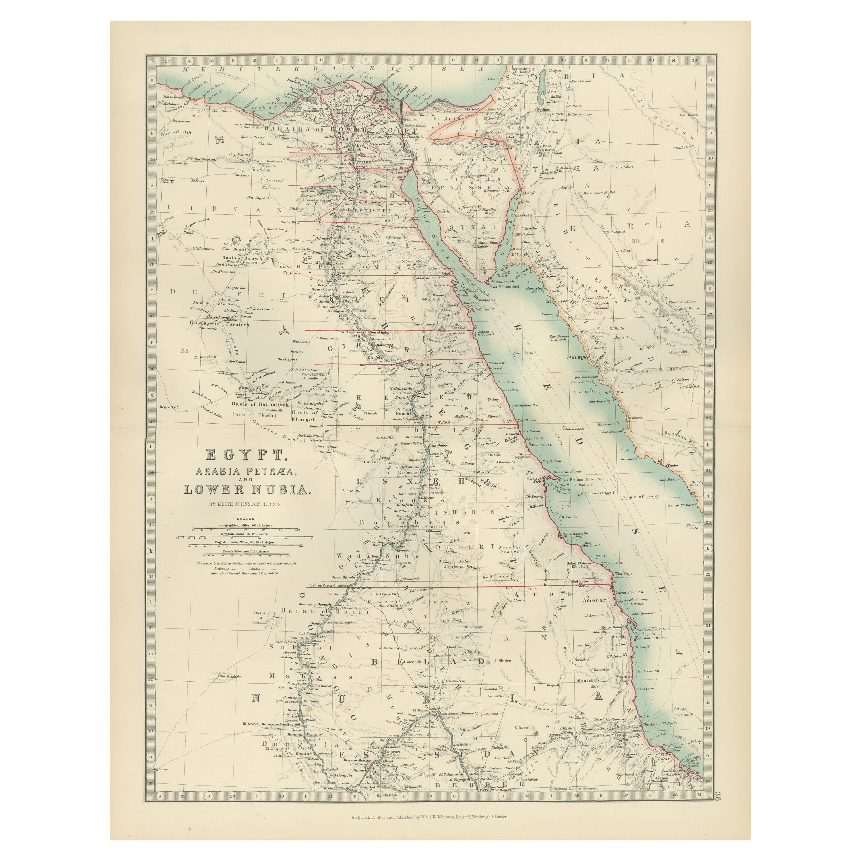
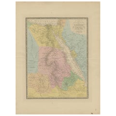
View AllAntique Map of Egypt, Arabia Petraea and Lower Nubia by Johnston
1909
Located in Langweer, NL
Antique map titled 'Egypt, Arabia Petraea and Lower Nubia'. Original antique map of Egypt, Arabia Petraea and Lower Nubia. With inset maps of Alexandriam Cairo and the Suez Canal...
Category
Early 20th Century Maps
Materials
Paper

$224 Sale Price
24% Off
Antique Map of Ancient Egypt Also Depicting the Nile River and Red Sea, 1845
Located in Langweer, NL
Antique map Egypt titled 'General Karte von Alt Aegypten von A.H. Brué'. Large map of Egypt also depicting the Nile river and Red Sea. Source unknown...
Category
Antique 19th Century Maps
Materials
Paper

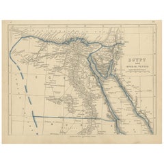
Antique Map of Egypt and Arabia Petraea by Lowry,
1852
Located in Langweer, NL
Antique map titled 'Egypt and Arabia Petrea'. Original map of Egypt and Arabia Petraea. This map originates from 'Lowry's Table Atlas constructed and engraved from the most recent Au...
Category
Antique Mid-19th Century Maps
Materials
Paper
$95 Sale Price
20% Off
Antique Map of Egypt and Arabia Petraea by A
C. Black, 1870
Located in Langweer, NL
Antique map titled 'Egypt and Arabia Petraea'. Original antique map of Egypt and Arabia Petraea. This map originates from ‘Black's General Atlas of The World’. Published by A & C. Bl...
Category
Antique Late 19th Century Maps
Materials
Paper

$145 Sale Price
30% Off
Egypt and Lower Nubia, 1903 - Historical Map Highlighting Nile and Red Sea
Located in Langweer, NL
Egypt and Lower Nubia, 1903 - Historical Map Highlighting Nile and Red Sea
This beautifully detailed map titled "Egypt, Arabia Petraea, and Lower Nubia" was engraved, printed, and p...
Category
Early 20th Century Maps
Materials
Paper
Egypt
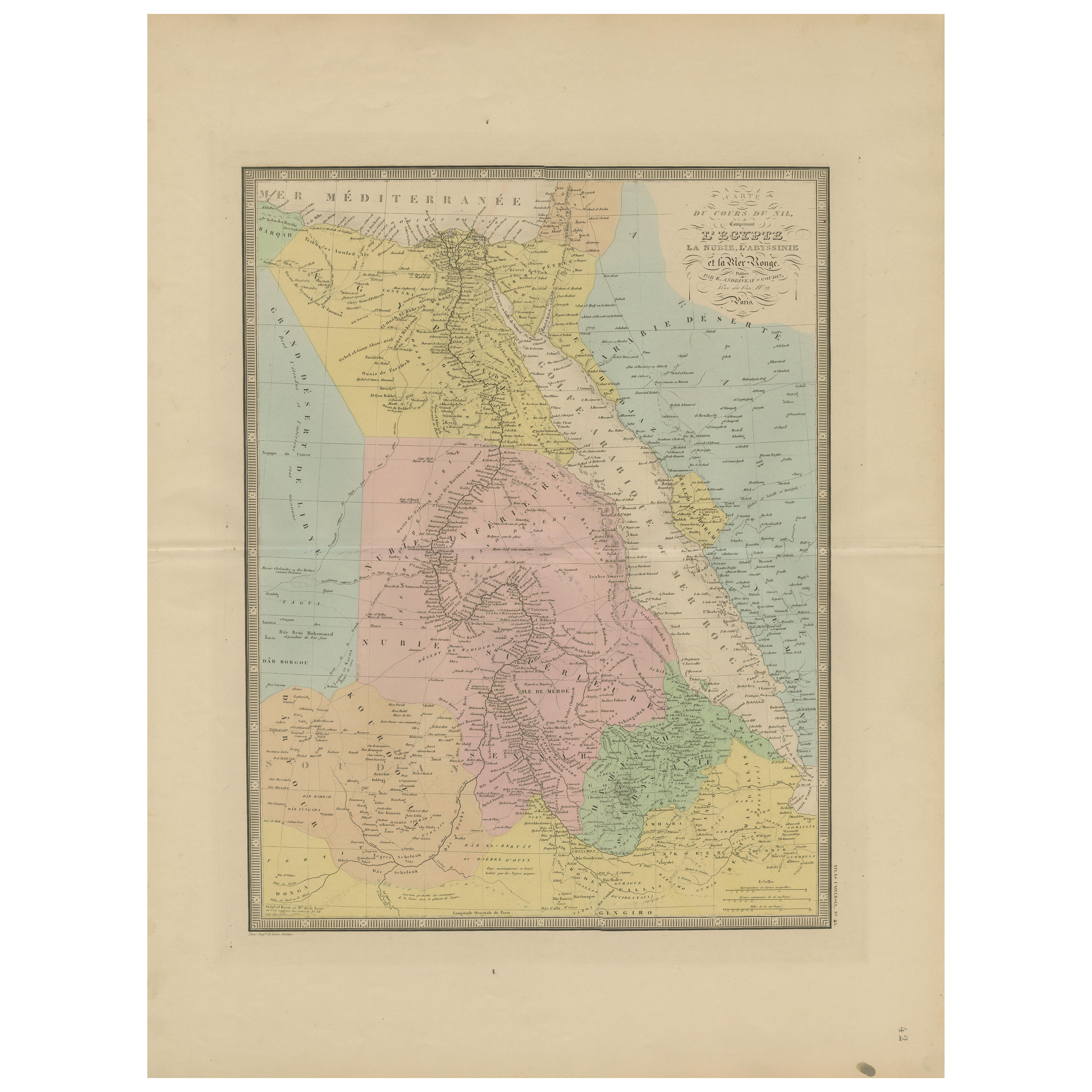
Red Sea Antique Map – Detailed 1865 Chart of Nubia and Nile Regions
Located in Langweer, NL
Antique Map of Egypt, Nubia & Red Sea Coast – Andriveau-Goujon, Paris 1865
This delicately colored antique map, titled *Partie du Cours du Nil comprenant l'Égypte, la Nubie, l'Abyss...
Category
Antique Mid-19th Century French Maps
Materials
Paper
You May Also Like
Map of the Holy Land "Carte de la Syrie et de l
Egypte" by Pierre Lapie
By Pierre M. Lapie
Located in Alamo, CA
This is an early 19th century map of ancient Syria and Egypt entitled "Carte de la Syrie et de l'Egypte anciennes/dressée par M. Lapie, Colonel d'Etat M...
Category
1830s Landscape Prints
Materials
Engraving

Map of the Holy Land "Carte de la Syrie et de l
Egypte" by Pierre M. Lapie
By Pierre M. Lapie
Located in Alamo, CA
An early 19th century map of ancient Syria and Egypt entitled "Carte de la Syrie et de l'Egypte anciennes/dressée par M. Lapie, Colonel d'Etat Major, et...
Category
Antique Early 19th Century French Maps
Materials
Paper

Large Original Vintage Map of Egypt, circa 1920
Located in St Annes, Lancashire
Great map of Egypt
Unframed
Original color
By John Bartholomew and Co. Edinburgh Geographical Institute
Published, circa 1920
Free shipping.
Category
Vintage 1920s British Maps
Materials
Paper

Africa. North-East Part. Century Atlas antique vintage map
Located in Melbourne, Victoria
'The Century Atlas. Africa. North-East Part'
Original antique map, 1903.
Inset map of 'Nile Delta and Suez Canal'.
Central fold as issued. Map name and nu...
Category
Early 20th Century Victorian More Prints
Materials
Lithograph

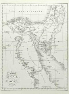
Campagne d
Egypte - Etching by Pierre François Tardieu - 1837
Located in Roma, IT
Campagne d'Egypte is an Etching realized by Pierre François Tardieu in 1837.
Good conditions.
The artwork is realized in a well-balanced composition. the artwork and belongs to the...
Category
1830s Modern Figurative Prints
Materials
Lithograph
Map of Nubia and Abissinia - Original Etching by Antonio Zatta - 1784
Located in Roma, IT
This Map of Nubia and Abissinia is an etching realized by Antonio Zatta in Venice in 1784.
The state of preservation of the artwork is good expect for the worn paper with some littl...
Category
1770s Landscape Prints
Materials
Etching
