Items Similar to Empire
s Crossroads: An 1882 Map of Turkey in Asia by Blackie
Son


Want more images or videos?
Request additional images or videos from the seller
1 of 11
Empire
s Crossroads: An 1882 Map of Turkey in Asia by Blackie
Son
$316.79
$395.9920% Off
£234.76
£293.4520% Off
€264
€33020% Off
CA$432.96
CA$541.2020% Off
A$471.31
A$589.1420% Off
CHF 250.17
CHF 312.7120% Off
MX$5,670.87
MX$7,088.5920% Off
NOK 3,170.01
NOK 3,962.5120% Off
SEK 2,904.63
SEK 3,630.7820% Off
DKK 2,010.97
DKK 2,513.7120% Off
About the Item
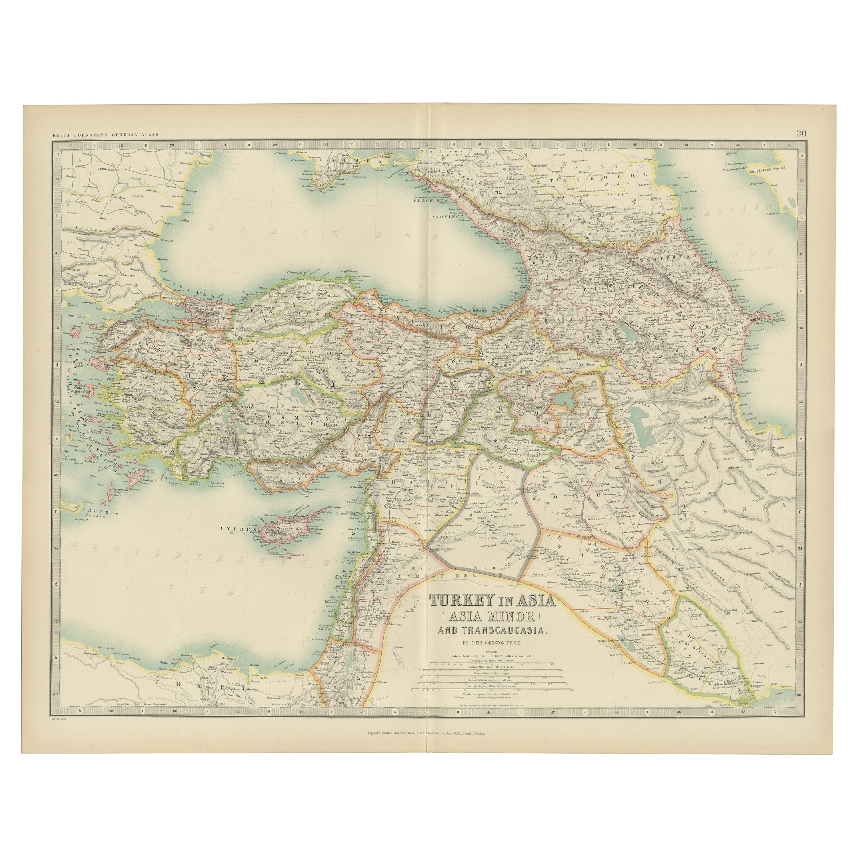
This map, titled "Turkey in Asia," is another detailed illustration from the 1882 atlas by Blackie
Son. It showcases the vastness of the Asian territories of the Ottoman Empire, spanning from the Mediterranean Sea to the borders of Persia and from the Black Sea down to the Arabian Peninsula.
The map is a rich tapestry of the empire's Asian provinces, delineated with colored borders that neatly define regions such as Anatolia, Mesopotamia, and the Levant. The cartography of the period is evident in the precise rendering of mountain ranges, river systems, and the placement of cities, all vital features for the era's travelers and scholars.
Topographical elements are illustrated with meticulous care, utilizing hachures to show relief and elevation, which was the convention before contour lines became standard. Settlements are marked from the largest cities to the smaller towns, reflecting the density and diversity of the empire's population centers.
In the lower inset, a detailed map of the environs of the Nile showcases the significance of this fertile region. The Nile Delta and the course of the river are clearly depicted, along with important cities like Cairo, underlining the agricultural and economic importance of Egypt to the Ottoman Empire.
This map is a historical document that speaks volumes about the geopolitical landscape of the late 19th century. It would have been an essential reference for understanding the complex makeup of the Ottoman territories in Asia, used by officials, merchants, and explorers alike. It captures a moment in time just before the modern era's dramatic changes and is a testament to the era's cartographic skill and the imperial reach of the Ottoman Empire.
- Dimensions:Height: 14.97 in (38 cm)Width: 22.45 in (57 cm)Depth: 0 in (0.02 mm)
- Materials and Techniques:
- Period:
- Date of Manufacture:1882
- Condition:Good condition, folding line in the middle. The outer borders are slightly discolored due to age, but not the image. This map is ideal for framing. Study the image carefully.
- Seller Location:Langweer, NL
- Reference Number:Seller: BG-13601-2-411stDibs: LU3054337696112
About the Seller
5.0
Recognized Seller
These prestigious sellers are industry leaders and represent the highest echelon for item quality and design.
Platinum Seller
Premium sellers with a 4.7+ rating and 24-hour response times
Established in 2009
1stDibs seller since 2017
2,816 sales on 1stDibs
Typical response time: 1 hour
- ShippingRetrieving quote...Shipping from: Langweer, Netherlands
- Return Policy
More From This Seller
View AllAntique Map of Turkey in Asia by A
C. Black, 1870
Located in Langweer, NL
Antique map titled 'Turkey in Asia'. Original antique map of Turkey in Asia with inset Ruins of Babylon. This map originates from ‘Black's General Atlas of The World’. Published by A...
Category
Antique Late 19th Century Maps
Materials
Paper

$167 Sale Price
20% Off
Antique Map of Turkey in Asia by Johnston
1909
Located in Langweer, NL
Antique map titled 'Turkey Asia ( Asia Minor )'. Original antique map of Turkey in Asia. This map originates from the ‘Royal Atlas of Modern Geog...
Category
Early 20th Century Maps
Materials
Paper
$239 Sale Price
20% Off
Antique Map of Turkey in Asia by Wyld
1845
Located in Langweer, NL
Antique map titled 'Map of Turkey in Asia'. Original antique map of Turkey in Asia. This map originates from 'An Atlas of the World, Comprehendin...
Category
Antique Mid-19th Century Maps
Materials
Paper

$191 Sale Price
20% Off
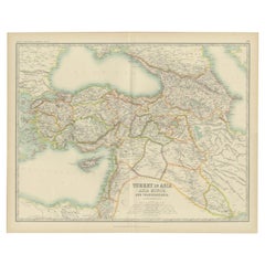
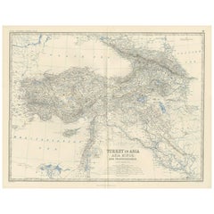
Antique Map of Turkey in Asia by A.K. Johnston, 1865
Located in Langweer, NL
Antique map titled 'Turkey in Asia (Asia Minor) and Transcaucasia'. This map originates from the ‘Royal Atlas of Modern Geography’ by Alexander Keith Johnston. Published by William B...
Category
Antique Mid-19th Century Maps
Materials
Paper
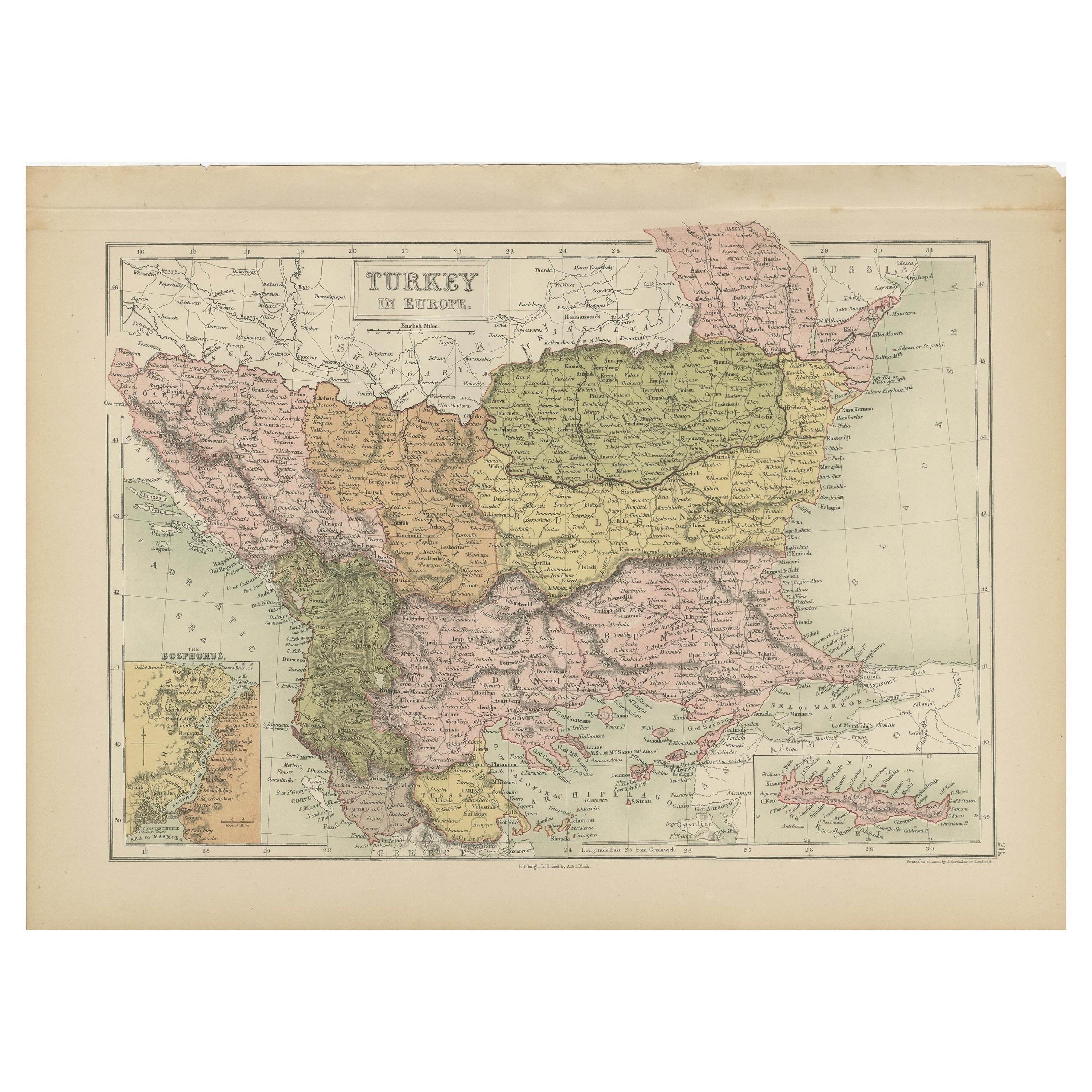
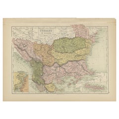
Antique Map of Turkey in Europe by A
C. Black, 1870
Located in Langweer, NL
Antique map titled 'Turkey in Europe'. Original antique map of Turkey in Europe with inset maps of the Bosporus and Crete or Candia. This map originates from ‘Black's General Atlas o...
Category
Antique Late 19th Century Maps
Materials
Paper
$167 Sale Price
20% Off
Turkey in Asia – Antique Ottoman Empire Map by John Tallis, ca. 1851
Located in Langweer, NL
Turkey in Asia – Antique Ottoman Empire Map by John Tallis, ca. 1851
This decorative 19th-century map titled "Turkey in Asia" was published by John Tallis & Company around 1851. Eng...
Category
Antique Mid-19th Century English Maps
Materials
Paper

You May Also Like
Large Original Antique Map of Cyprus. 1894
Located in St Annes, Lancashire
Superb Antique map of Cyprus
Published Edward Stanford, Charing Cross, London 1894
Original colour
Good condition
Unframed.
Free shipping
Category
Antique 1890s English Maps
Materials
Paper

Antique 1803 Italian Map of Asia Including China Indoneseia India
Located in Amsterdam, Noord Holland
Antique 1803 Italian Map of Asia Including China Indoneseia India
Very nice map of Asia. 1803.
Additional information:
Type: Map
Country of Manufacturing: Europe
Period: 19th centu...
Category
Antique 19th Century European Maps
Materials
Paper

$438 Sale Price
39% Off
Original Antique Map of Ancient Greece, Achaia, Corinth, 1786
Located in St Annes, Lancashire
Great map of Ancient Greece. Showing the region of Thessaly, including Mount Olympus
Drawn by J.D. Barbie Du Bocage
Copper plate engraving by P.F Tardieu
Original hand color...
Category
Antique 1780s French Other Maps
Materials
Paper

Large Original Antique Map of The Greek Islands. 1894
Located in St Annes, Lancashire
Superb Antique map of The Greek Islands
Published Edward Stanford, Charing Cross, London 1894
Original colour
Good condition
Unframed.
Free shipping
Category
Antique 1890s English Maps
Materials
Paper

Map of Eastern Roman Empire -Vintage Offset Print - Early 20th Century
Located in Roma, IT
This map of Eastern Roman Empire is a vintage offset print realized in the early 20th Century.
The state of preservation of the artwork is aged with dif...
Category
Early 20th Century Figurative Prints
Materials
Offset

Map of the Holy Land "Carte de la Syrie et de l
Egypte" by Pierre M. Lapie
By Pierre M. Lapie
Located in Alamo, CA
An early 19th century map of ancient Syria and Egypt entitled "Carte de la Syrie et de l'Egypte anciennes/dressée par M. Lapie, Colonel d'Etat Major, et...
Category
Antique Early 19th Century French Maps
Materials
Paper

$620 Sale Price
20% Off
More Ways To Browse
Historical Documents
Egypt Empire
Stretcher Tables
M Table
Antique Sultanabad Carpets
China Chair
English Antique Desks
Used Beige Sofa
Antique Plate Germany
Hand Tufted Rugs
Rare China
Side Table Made In Denmark
Thonet Antique
Victorian Hall Tables
Vintage Computer
England Antique Plates
19th Century Round Dining Table
Antique Counters