Items Similar to Germany and the Borders of Empire: Bodenehr’s Map of the Holy Roman World, 1710


Want more images or videos?
Request additional images or videos from the seller
1 of 10
Germany and the Borders of Empire: Bodenehr’s Map of the Holy Roman World, 1710
$455.98
£337.91
€380
CA$623.20
A$678.40
CHF 360.10
MX$8,162.61
NOK 4,562.89
SEK 4,180.90
DKK 2,894.57
About the Item
Title:
Germany and Surrounding Realms by Gabriel Bodenehr, circa 1710
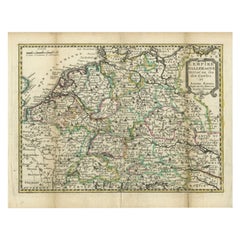
This striking copperplate engraving, titled "S. Imperium Romano-Germanicum, Teutschland mit Seinen Angräntzenden Königreich und Provineien," was created and published around 1710 by Gabriel Bodenehr in Augsburg. A master of early 18th-century cartographic art, Bodenehr produced a series of finely detailed maps that depicted the political geography of the Holy Roman Empire and its surrounding territories during a time of complex alliances and shifting borders.
This map offers a comprehensive view of Central Europe under the dominion of the Holy Roman Empire. It stretches from the North Sea (Noord Zee and Teutsche Meer) in the north to Venice in the south, and from Tours in France in the west to Belgrade in the east. Major cities such as Vienna, Prague, Frankfurt, Cologne, Paris, Amsterdam, and Kraków are featured prominently, alongside numerous duchies, bishoprics, free cities, and principalities that made up the decentralized fabric of the empire. Borders are finely etched, with careful placement of rivers, towns, and regional names.
What distinguishes this map is its balance between artistic charm and geopolitical accuracy. Bodenehr’s skill in copper engraving shines through in the clean linework and dense yet legible layout. The use of the German language throughout the title and place names adds to the historical authenticity, providing insights into how early 18th-century German-speaking cartographers viewed their realm and its neighbors.
Maps like this were not only functional geographic tools but also symbols of power and identity, often displayed in scholarly, noble, or civic settings. Today, it offers collectors a glimpse into pre-Enlightenment Europe and the fragmented but culturally rich landscape of the Holy Roman Empire.
Condition Report:
Excellent condition for a map over 300 years old. Crisp copperplate impression with no visible flaws. Paper clean, with only minimal age toning at the margins. No tears, repairs, or foxing. A well-preserved, highly desirable piece.
Framing Tips:
Use a light cream mat with a narrow green or silver accent line to complement the engraving’s antique elegance. Pair with a dark wood or black frame for contrast. Museum glass is recommended to preserve the detail and prevent glare.
- Dimensions:Height: 10.24 in (26 cm)Width: 13.78 in (35 cm)Depth: 0.01 in (0.2 mm)
- Materials and Techniques:Paper,Engraved
- Period:1710-1719
- Date of Manufacture:circa 1710
- Condition:Excellent condition for a map over 300 years old. Crisp copperplate impression with no visible flaws. Paper clean, with only minimal age toning at the margins. No tears, repairs, or foxing. A well-preserved, highly desirable piece.
- Seller Location:Langweer, NL
- Reference Number:Seller: BG-13836-1121stDibs: LU3054345119402
About the Seller
5.0
Recognized Seller
These prestigious sellers are industry leaders and represent the highest echelon for item quality and design.
Platinum Seller
Premium sellers with a 4.7+ rating and 24-hour response times
Established in 2009
1stDibs seller since 2017
2,816 sales on 1stDibs
Typical response time: 1 hour
- ShippingRetrieving quote...Shipping from: Langweer, Netherlands
- Return Policy
More From This Seller
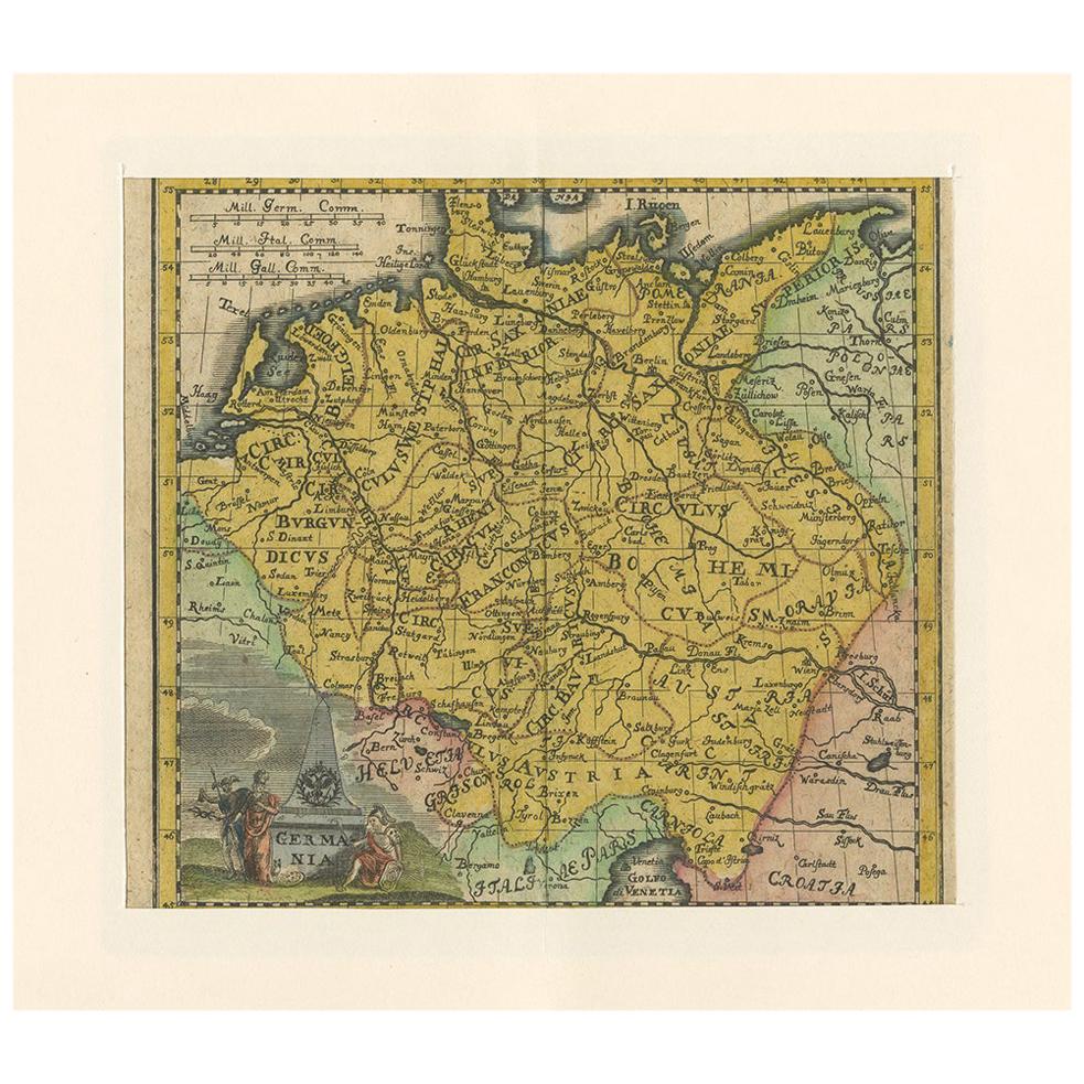
View AllAntique Map of Germany by Hederichs
circa 1740
Located in Langweer, NL
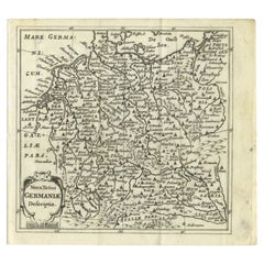
Antique map titled 'Germania'. Rare miniature map of Germany and surroundings. This map covers the entirety of those lands traditionally occupied by Germanic peoples, from the Blatic...
Category
Antique Mid-18th Century Maps
Materials
Paper
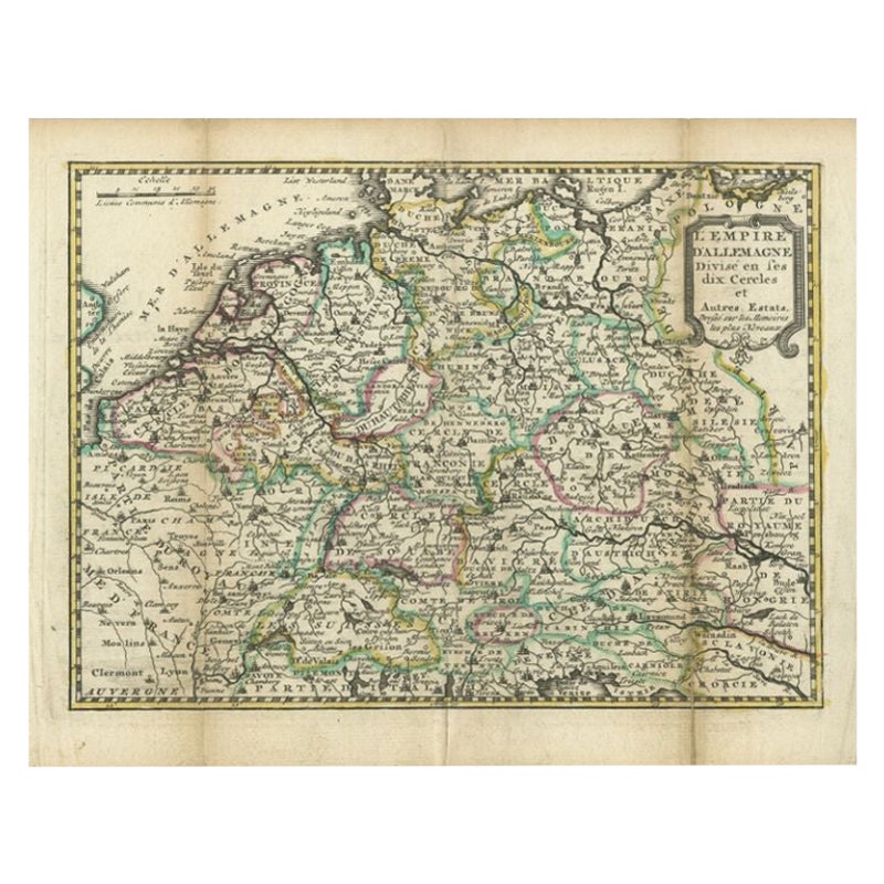
Antique Map of the German Empire by De Leth, 1749
Located in Langweer, NL
Antique map Germany titled 'L'Empire d'Allemagne divisé en ses dix cercles et Autres Estats'. Detailed map of the German Empire divided in the ten ...
Category
Antique 18th Century Maps
Materials
Paper
Antique Map of Germany of German in Roman Times, c.1660
Located in Langweer, NL
Antique map Germany titled 'Germaniae Veteris Typus'. Antique map probably by Blaeu or based on an earlier state by W. Blaeu.
Minor differences shown in the cartouches. Top left ha...
Category
Antique 17th Century Maps
Materials
Paper

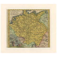
Antique Map of Germany from a 17th Century Pocket Atlas, 1685
Located in Langweer, NL
Antique map titled 'Nova Totius Germaniae descriptio.' Miniature map of Germany, from the pocket atlas 'Introductionis in Universam Geographiam tam Veterem...
Category
Antique 17th Century Maps
Materials
Paper
Antique Map of Part of Germany by Moll, c.1740
Located in Langweer, NL
Antique map Germany titled 'The North West Part of Germany; Containing ye Dominions of ye Arch: and El: of Cologne, Westphalia, / Juliers, Cleeves,...
Category
Antique 18th Century Maps
Materials
Paper

$110 Sale Price
20% Off
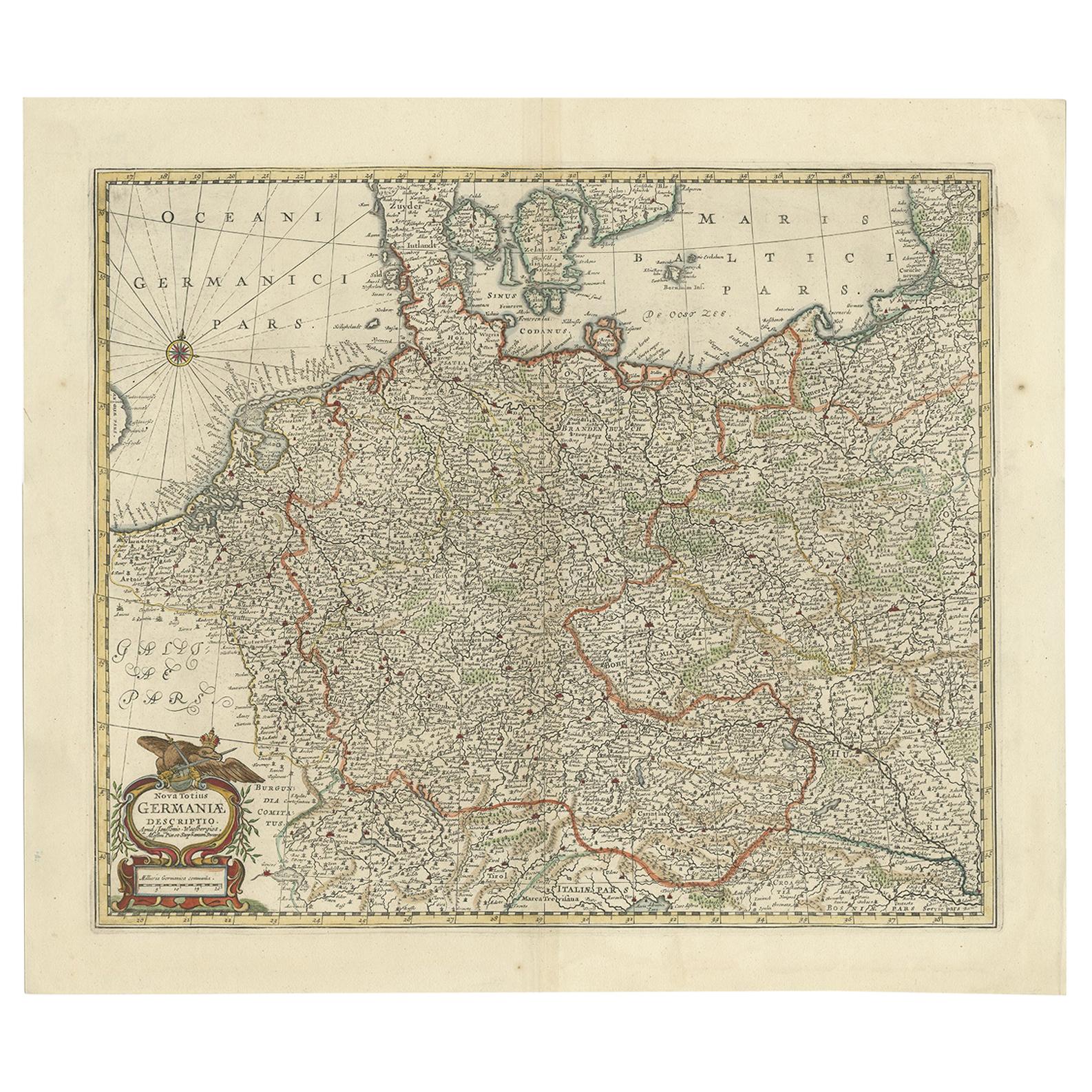
Antique Map of the German Empire, Johannes Janssonius van Waesbergen, circa 1670
Located in Langweer, NL
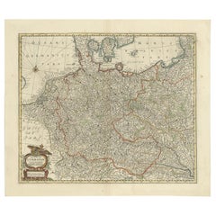
Antique map titled 'Nova Totius Germaniae Descriptio'. Uncommon map of the German Empire including the Netherlands, Germany, Switzerland, Austria, Bohemia,...
Category
Antique Late 17th Century Maps
Materials
Paper
You May Also Like
1752 Vaugoundy Map of Flanders : Belgium, France, and the Netherlands, Ric.a002
Located in Norton, MA
Large Vaugoundy Map of Flanders:
Belgium, France, and the Netherlands
Colored -1752
Ric.a002
Description: This is a 1752 Didier Robert de Vaugondy map of Flanders. The map de...
Category
Antique 17th Century Unknown Maps
Materials
Paper

1643 Willem&Joan Blaeu Map NW Flanders "Flandriae Teutonicae Pars Prientalior
Located in Norton, MA
1643 Willem and Joan Blaeu map of northwest Flanders, entitled
"Flandriae Teutonicae Pars Prientalior,"
Ric0012
" Authentic" - Map of the northwest Fl...
Category
Antique 17th Century Dutch Maps
Materials
Paper

17th Century Hand-Colored Map of a Region in West Germany by Janssonius
By Johannes Janssonius
Located in Alamo, CA
This attractive highly detailed 17th century original hand-colored map is entitled "Archiepiscopatus Maghdeburgensis et Anhaltinus Ducatus cum terris adjacentibus". It was published ...
Category
Antique Mid-17th Century Dutch Maps
Materials
Paper

$1,020 Sale Price
20% Off
Prussia, Poland, N. Germany, Etc: A Hand-colored 17th Century Map by Janssonius
By Johannes Janssonius
Located in Alamo, CA
This is an attractive hand-colored copperplate engraved 17th century map of Prussia entitled "Prussia Accurate Descripta a Gasparo Henneberg Erlichensi", published in Amsterdam by Joannes Janssonius in 1664. This very detailed map from the golden age of Dutch cartography includes present-day Poland, Latvia, Lithuania, Estonia and portions of Germany. This highly detailed map is embellished by three ornate pink, red, mint green and gold...
Category
Antique Mid-17th Century Dutch Maps
Materials
Paper

$1,020 Sale Price
20% Off
1640 Joan Bleau Map Entitled"Diocecese de rheims et le pais de rethel, " Eic.a011
Located in Norton, MA
1640 Joan Bleau map entitled
"Diocecese de rheims et le pais de rethel,"
Ric.a011
OAN BLAEU
Diocecese de Rheims, et le pais de Rethel.
Handcolored engraving, c.1640.
...
Category
Antique 17th Century Dutch Maps
Materials
Paper

18th Century Hand-Colored Homann Map of Germany, Including Frankfurt and Berlin
By Johann Baptist Homann
Located in Alamo, CA
An 18th century hand-colored map entitled "Tabula Marchionatus Brandenburgici et Ducatus Pomeraniae quae sunt Pars Septentrionalis Circuli Saxoniae Superioris" by Johann Baptist Homa...
Category
Antique Early 18th Century German Maps
Materials
Paper

$620 Sale Price
20% Off
More Ways To Browse
German Empire
German Empire Furniture
City Antique Vienna
Round Table Base
Cream Soup
Early English Silver
James Bond
Paisley Rugs and Carpets
Antique Pagoda
Black And Chrome Lounge Chair
Ceramic 1960s Italy
Vintage 1930 Dining Room Set
Antique Brass And Copper
Antique Cow
Antique Harvest
Antique Victorian Dining Tables
Environment Furniture
Italian Plastic Chairs