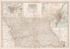
Items Similar to Historic Map of Missouri and Kansas Showing Railroads and Frontier Trails, 1864
Want more images or videos?
Request additional images or videos from the seller
1 of 10
Historic Map of Missouri and Kansas Showing Railroads and Frontier Trails, 1864
$407.04
£304.40
€340
CA$560.88
A$611.91
CHF 324
MX$7,332.37
NOK 4,126.32
SEK 3,773.21
DKK 2,589.50
About the Item
Antique 1864 Map of Missouri and Kansas by Johnson and Ward
Description:
This finely detailed and vibrantly hand-colored map of Missouri and Kansas, published in 1864 by Johnson and Ward, offers a remarkable glimpse into the American Midwest during the final years of the Civil War. It was issued as part of Johnson’s celebrated family atlases, which were among the most widely circulated cartographic works in the United States during the 1860s.
The map prominently delineates county boundaries in shades of pink and green, with railroads, roads, cities, rivers, and geographical features carefully labeled. The map’s style is typical of Johnson’s signature design, featuring a decorative scrollwork border and inset engravings. In the margins, three detailed vignettes add a narrative and visual dimension:
- Santa Fe from the Great Missouri Trail (lower left), depicting westward migration via wagon train
- Indians on the move (top left)
- Entrance to a Missouri Cave (top right), reflecting the region’s geological curiosities
The inclusion of Kansas at such an early stage of statehood—Kansas joined the Union in 1861—makes this map especially interesting. It shows a grid of developing counties and frontier towns, just a few years after the turbulent "Bleeding Kansas" period, which had pitted pro-slavery and anti-slavery factions against each other in the lead-up to the Civil War.
This map captures a moment of dynamic transformation: Kansas shifting from wild frontier to formalized state, and Missouri acting as a border state in a divided nation. It holds strong appeal for collectors of American Civil War ephemera, Western expansion history, and antique maps of the U.S. interior.
Condition report:
Very good condition with vibrant original hand-coloring. Some age toning to margins and minor edge wear. Vertical centerfold as issued.
Framing suggestion:
An antique-style wooden frame—preferably walnut or cherry—with an archival mat in cream or beige will complement the map’s color palette and age. UV-protective glass is recommended to safeguard the delicate hand coloring.
Keyword:
Johnson map, Civil War map, Missouri map 1864, Kansas map 1864, American Westward Expansion, 19th-century atlas, Johnson and Ward, antique American map, railroad history, Missouri River, Santa Fe Trail, decorative border map, historical geography, cartographic Americana
- Dimensions:Height: 18 in (45.7 cm)Width: 26.38 in (67 cm)Depth: 0.01 in (0.2 mm)
- Materials and Techniques:
- Period:
- Date of Manufacture:1864
- Condition:Very good condition with vibrant original hand-coloring. Some age toning to margins and minor edge wear. Vertical centerfold as issued.
- Seller Location:Langweer, NL
- Reference Number:Seller: BG-13952-131stDibs: LU3054345055462
About the Seller
5.0
Recognized Seller
These prestigious sellers are industry leaders and represent the highest echelon for item quality and design.
Platinum Seller
Premium sellers with a 4.7+ rating and 24-hour response times
Established in 2009
1stDibs seller since 2017
2,791 sales on 1stDibs
Typical response time: <1 hour
- ShippingRetrieving quote...Shipping from: Langweer, Netherlands
- Return Policy
More From This Seller
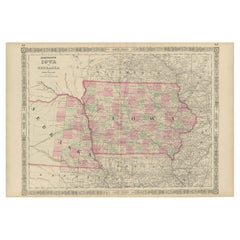
View AllAntique Map of Iowa and Nebraska by Johnson,
1872
Located in Langweer, NL
Antique map titled 'Johnson's Iowa and Nebraska'. Original map of Iowa and Nebraska. This map originates from 'Johnson's New Illustrated Family Atlas of th...
Category
Antique Late 19th Century Maps
Materials
Paper

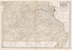
Kansas Railroad Map 1888 – Rand McNally Antique Lithograph
Located in Langweer, NL
Kansas Railroad Map 1888 – Rand McNally Antique Lithograph
This antique 1888 map of Kansas by Rand, McNally & Co. offers a detailed view of the state during a period of rapid expans...
Category
Antique Late 19th Century American Maps
Materials
Paper
Vintage 1862 Map of Iowa and Nebraska – Decorative Atlas Print
Located in Langweer, NL
Antique Map of Iowa and Nebraska by Johnson and Ward, 1862
This beautifully detailed antique map, published in 1862, depicts the states of Iowa and Nebraska during the mid-19th cent...
Category
Antique 1860s Maps
Materials
Paper
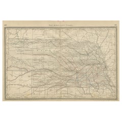
Nebraska Railroad Map 1888 – Rand McNally Antique Lithograph
Located in Langweer, NL
Nebraska Railroad Map 1888 – Rand McNally Antique Lithograph
This finely detailed map of Nebraska, published by Rand, McNally & Co. in 1888, provides an excellent overview of the st...
Category
Antique Late 19th Century American Maps
Materials
Paper
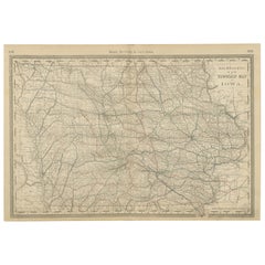
Antique Map of Iowa – The Hawkeye State with Railroads
Townships, 1888
Located in Langweer, NL
Antique Map of Iowa – Railroads, Counties & Townships, 1888
This antique engraved map of Iowa, published in 1888 by Rand, McNally & Co. in Chicago for their Improved Indexed Busines...
Category
Antique Late 19th Century American Maps
Materials
Paper
Antique Map of Nebraska
Located in Langweer, NL
Antique map titled 'Nebraska'. Original antique map of Nebraska, United States. This print originates from 'Encyclopaedia Britannica', Ninth Edition. Pu...
Category
Antique Late 19th Century Maps
Materials
Paper

$277 Sale Price
20% Off
You May Also Like
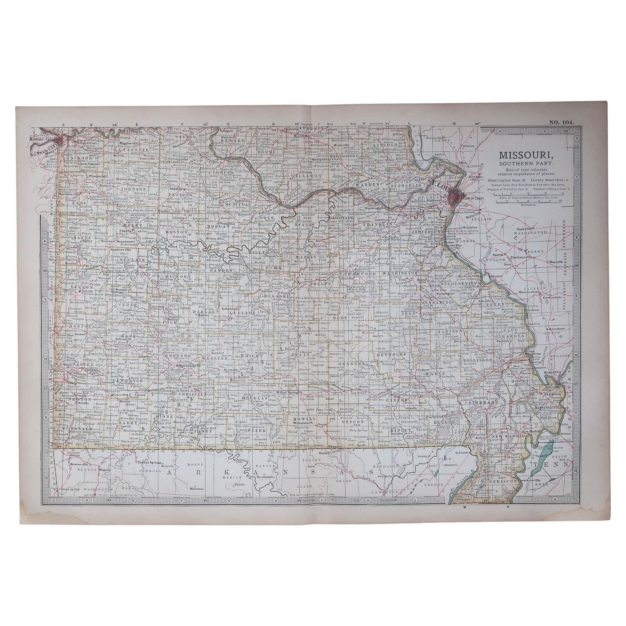
Original Antique Map of the American State of Missouri ( Southern part ), 1903
Located in St Annes, Lancashire
Antique map of Missouri ( Southern Part )
Published By A & C Black. 1903
Original colour
Good condition
Unframed.
Free shipping
Category
Antique Early 1900s English Maps
Materials
Paper

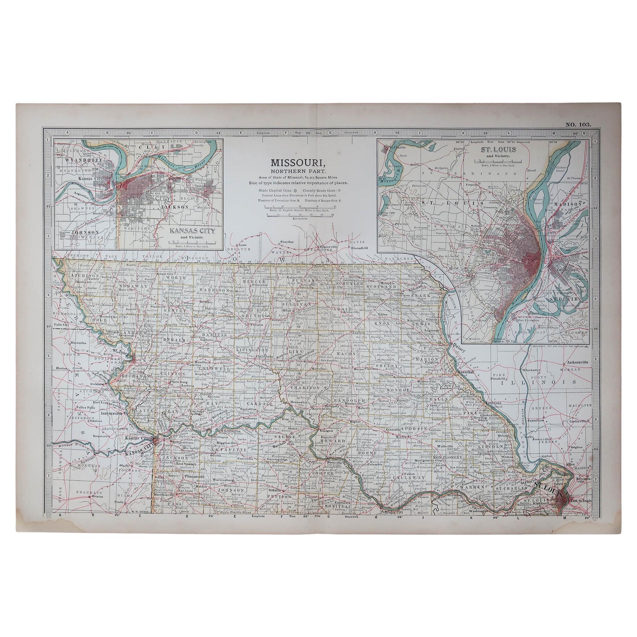
Original Antique Map of the American State of Missouri ( Northern part ), 1903
Located in St Annes, Lancashire
Antique map of Missouri ( Northern Part )
Published By A & C Black. 1903
Original colour
Good condition
Unframed.
Free shipping
Category
Antique Early 1900s English Maps
Materials
Paper

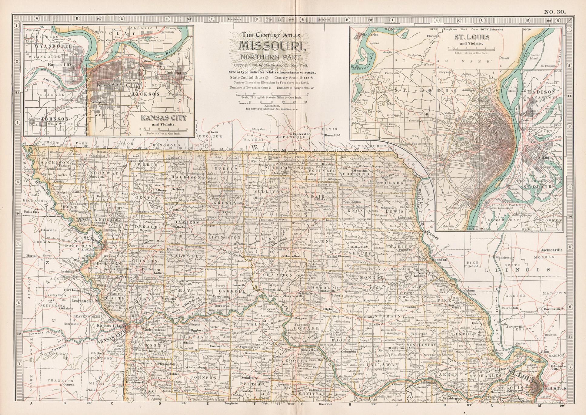
Missouri. Northern Part. USA. Century Atlas state antique vintage map
Located in Melbourne, Victoria
'The Century Atlas. Missouri. Northern Part.'
Original antique map, 1903.
Central fold as issued. Map name and number printed on the reverse corners.
Sheet 29.5cm by 40cm.
Category
Early 20th Century Victorian More Prints
Materials
Lithograph
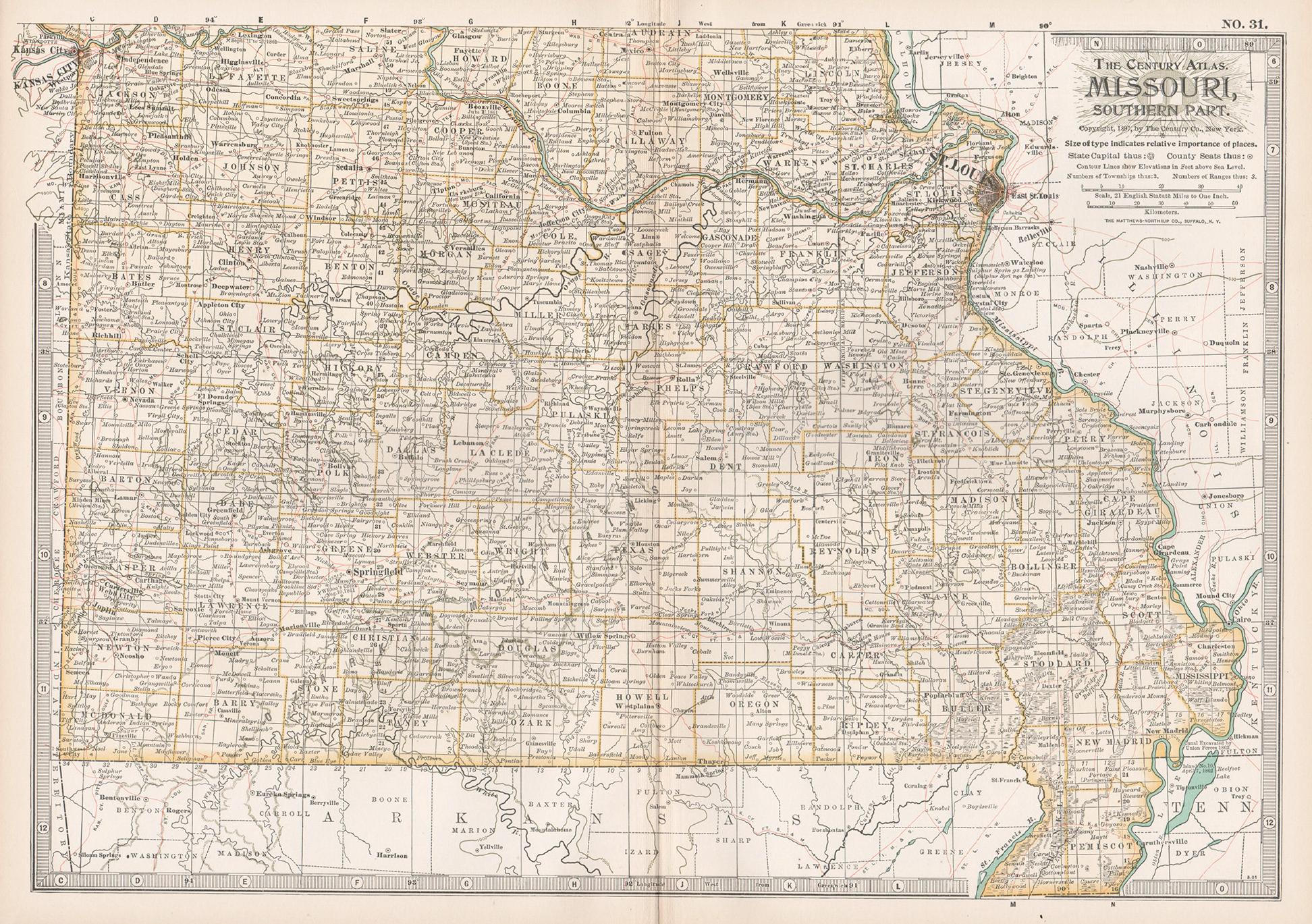
Missouri. Southern Part. USA. Century Atlas state antique vintage map
Located in Melbourne, Victoria
'The Century Atlas. Missouri. Southern Part.'
Original antique map, 1903.
Central fold as issued. Map name and number printed on the reverse corners.
Sheet 29.5cm by 40cm.
Category
Early 20th Century Victorian More Prints
Materials
Lithograph
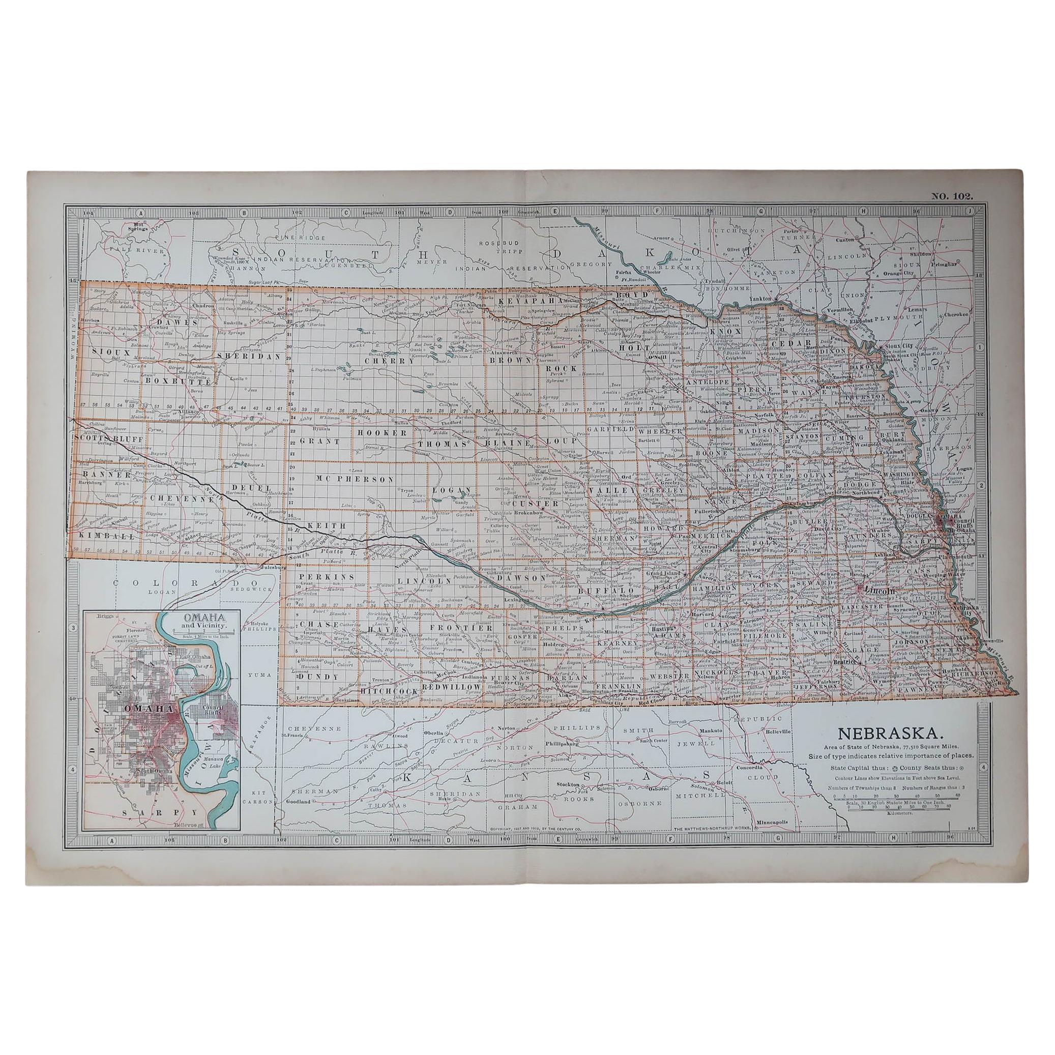
Original Antique Map of the American State of Nebraska, 1903
Located in St Annes, Lancashire
Antique map of Nebraska
Published By A & C Black. 1903
Original colour
Good condition
Unframed.
Free shipping
Category
Antique Early 1900s English Maps
Materials
Paper

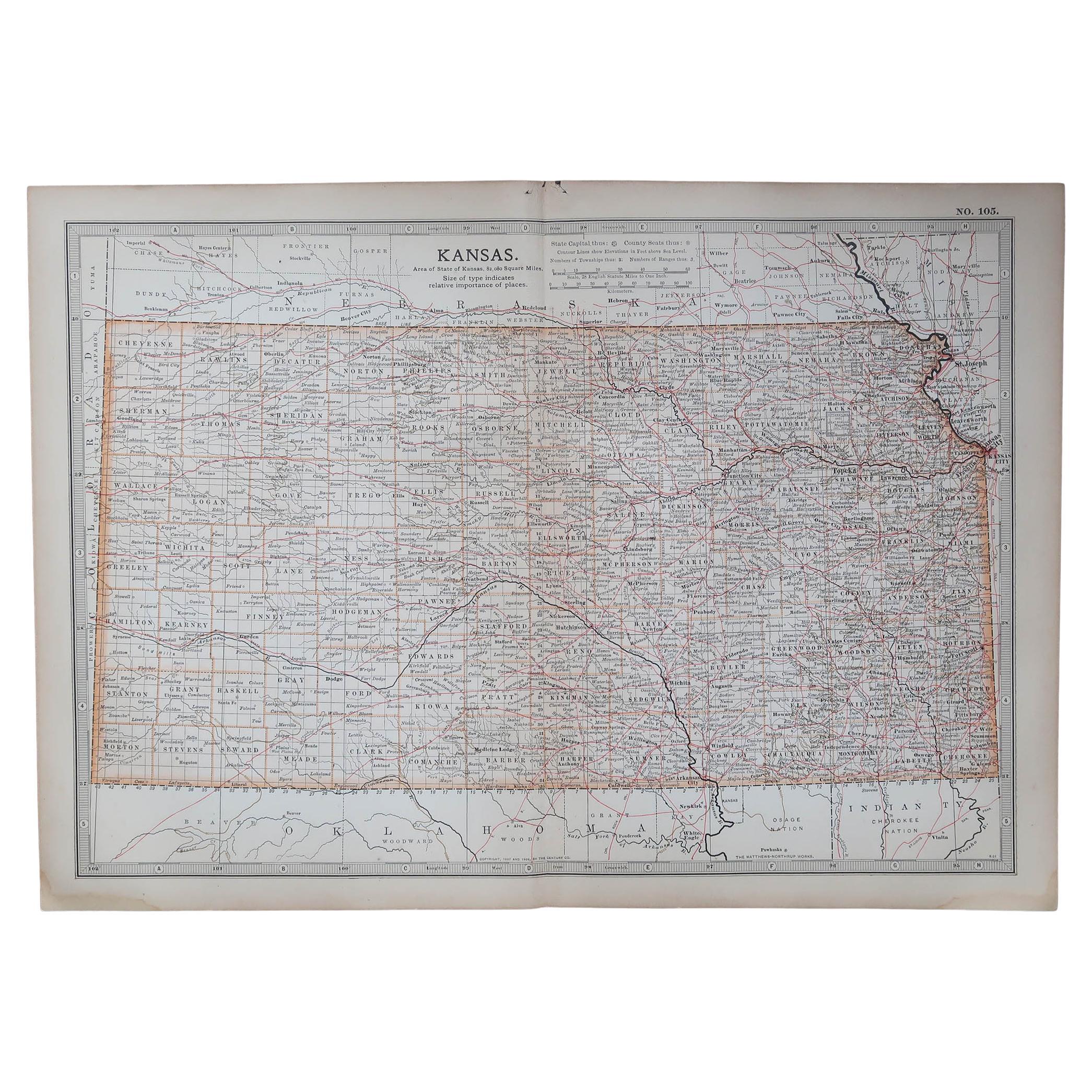
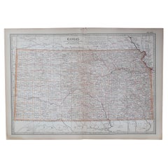
Original Antique Map of the American State of Kansas, 1903
Located in St Annes, Lancashire
Antique map of Kansas
Published By A & C Black. 1903
Original colour
Good condition
Unframed.
Free shipping
Category
Antique Early 1900s English Maps
Materials
Paper
More Ways To Browse
Wagon Train
Round Table Base
Cream Soup
Early English Silver
James Bond
Paisley Rugs and Carpets
Antique Pagoda
Black And Chrome Lounge Chair
Ceramic 1960s Italy
Vintage 1930 Dining Room Set
Antique Brass And Copper
Antique Cow
Antique Harvest
Antique Victorian Dining Tables
Environment Furniture
Italian Plastic Chairs
Made In Belgium
Black Crystal Glasses