Items Similar to Historical Map Depicting the Continent of Asia, 1882


Want more images or videos?
Request additional images or videos from the seller
1 of 6
Historical Map Depicting the Continent of Asia, 1882
$274.60
$392.2830% Off
£204.38
£291.9830% Off
€231
€33030% Off
CA$380.84
CA$544.0630% Off
A$410.01
A$585.7330% Off
CHF 219.57
CHF 313.6730% Off
MX$4,940.48
MX$7,057.8330% Off
NOK 2,770.35
NOK 3,957.6430% Off
SEK 2,535.31
SEK 3,621.8830% Off
DKK 1,760.65
DKK 2,515.2130% Off
About the Item
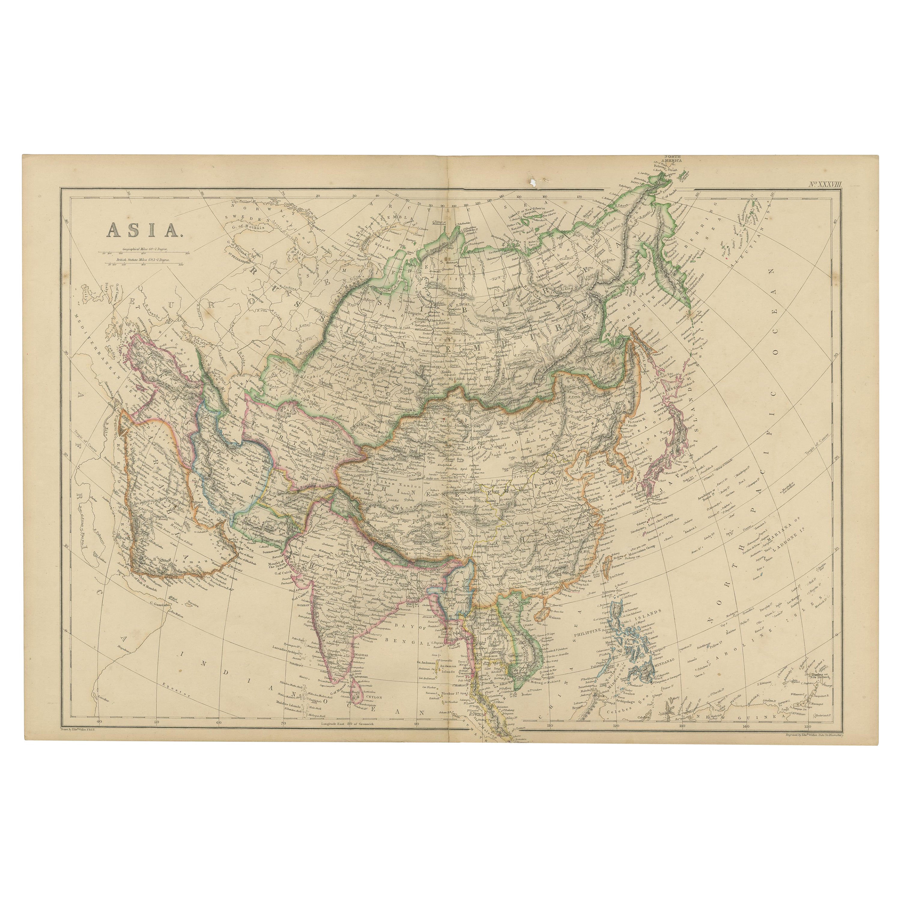
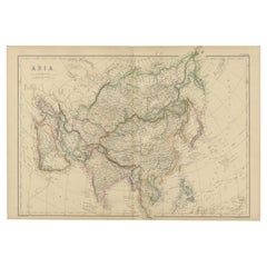
This 1882 map presents a meticulously detailed representation of the continent of Asia, a testament to the cartographic skills of the era. Published as a part of 'Comprehensive Atlas and Geography of the World' by Blackie and Son, it stands as a rich historical document, illustrating the vast and diverse geography of the largest continent.
The map captures the full breadth of Asia, from the desolate Siberian tundra in the north to the tropical archipelagos of Southeast Asia. Its scope includes the extensive mountain ranges such as the Himalayas, the vast plateaus like the Tibetan Plateau, and significant rivers like the Yangtze and the Ganges, all of which are drawn with astonishing accuracy for the period.
Political boundaries are outlined, providing a fascinating insight into the territorial divisions of the time. The map is color-coded to differentiate between the various countries, regions, and their subdivisions, making it a useful tool for understanding the historical geopolitical landscape of 19th-century Asia.
Furthermore, the map features maritime lines and oceanic depths, indicating the knowledge and importance of sea routes for trade and exploration. Each nation is populated with its major cities, railways, and roads, signaling the progress of industrialization and infrastructure development.
The precision in the cartographic details, combined with the aesthetic design, reflects the high standards of Blackie and Son's publishing, making it both an educational resource and a piece of art. For historians, geographers, and collectors, this map is a valuable window into the past, revealing how the 19th century understood and interacted with the complex tapestry that is Asia.
- Dimensions:Height: 14.97 in (38 cm)Width: 22.45 in (57 cm)Depth: 0 in (0.02 mm)
- Materials and Techniques:
- Period:
- Date of Manufacture:1882
- Condition:Good condition, folding line in the middle. The outer borders are slightly discolored due to age, but not the image. One very small tear at bottom left, touching the image. This map is ideal for framing. Study the image carefully.
- Seller Location:Langweer, NL
- Reference Number:Seller: BG-13601-2-391stDibs: LU3054337695892
About the Seller
5.0
Recognized Seller
These prestigious sellers are industry leaders and represent the highest echelon for item quality and design.
Platinum Seller
Premium sellers with a 4.7+ rating and 24-hour response times
Established in 2009
1stDibs seller since 2017
2,828 sales on 1stDibs
Typical response time: 1 hour
- ShippingRetrieving quote...Shipping from: Langweer, Netherlands
- Return Policy
More From This Seller
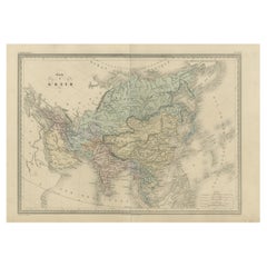
View AllAntique Map of Asia by A
C, Black, 1870
Located in Langweer, NL
Antique map titled 'Asia'. Original antique map of Asia. This map originates from ‘Black's General Atlas of The World’. Published by A & C. Black, 1870.
Category
Antique Late 19th Century Maps
Materials
Paper

$237 Sale Price
20% Off
Antique Map of Asia by K. Johnston, circa 1879
Located in Langweer, NL
No. 28 of Keith Johnston's General Atlas. Published by William Blackwood & Sons Edinburgh & London, circa 1879.
Category
Antique Late 19th Century Maps
Materials
Paper

Antique Map of Asia by Young, c.1860
Located in Langweer, NL
Antique map titled 'Asia'. Steel engraved map of Asia by Francis Young.
Artists and Engravers: Engraved by Lewis Becker. Published by S.O. Beeton.
We sell original antique maps to...
Category
Antique 19th Century Maps
Materials
Paper

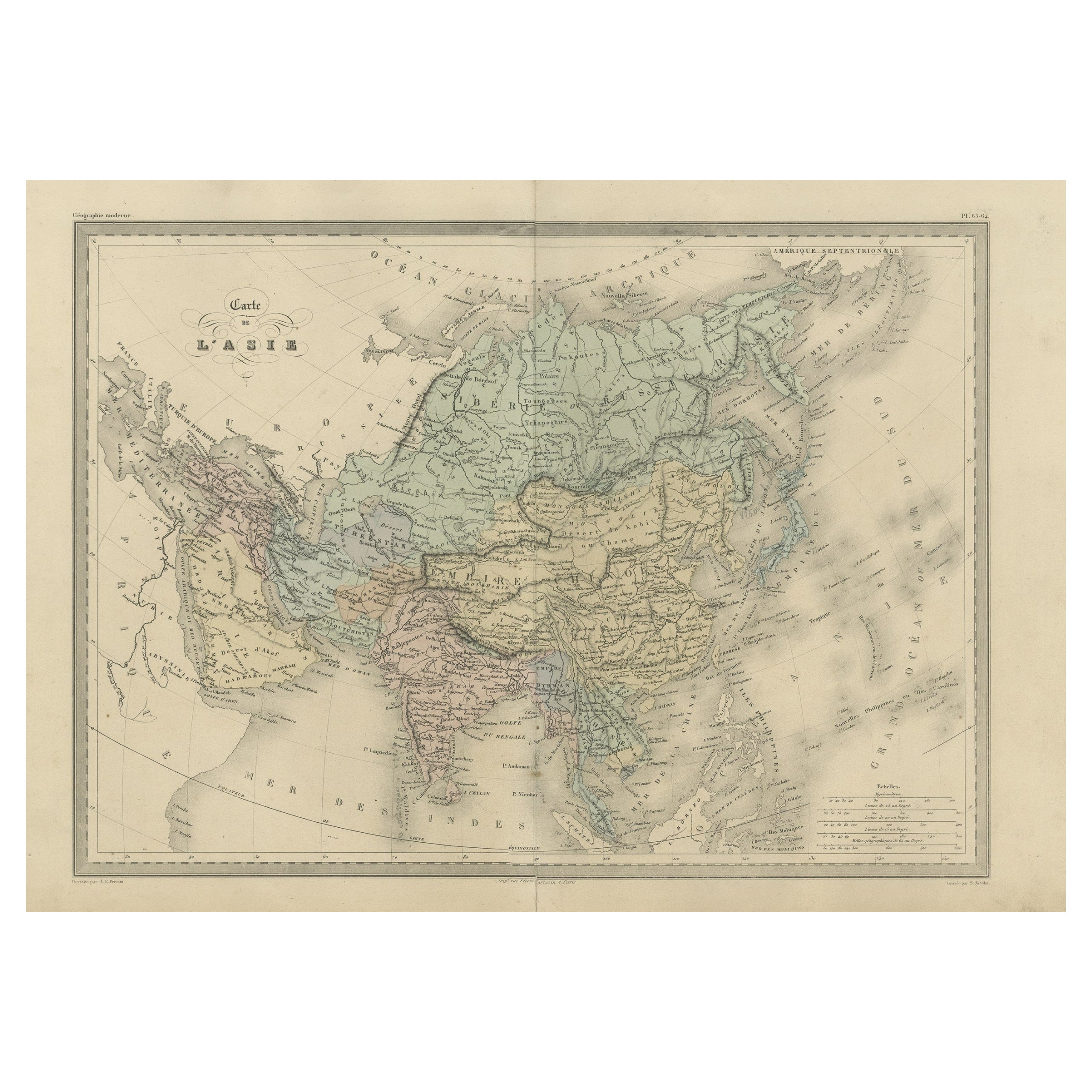
Antique Map of Asia by Malte-Brun, 1880
Located in Langweer, NL
Map Pl. 63 - 64: 'Carte de l'Asie.' This map shows Asia. This original antique map originates from 'Atlas de la Geographie Universelle ou Description de toutes les parties du monde s...
Category
Antique 19th Century Maps
Materials
Paper
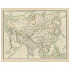
Antique Map of Asia by Johnston
1909
Located in Langweer, NL
Antique map titled 'Asia'. Depicting China, Japan, Indonesia, India, Arabia and more. This map originates from the ‘Royal Atlas of Modern Geography’. Published by W. & A.K. Johnston,...
Category
Early 20th Century Maps
Materials
Paper
$237 Sale Price
20% Off
Original 1859 Map of Asia from W.G. Blackie
s Imperial Atlas of Modern Geography
Located in Langweer, NL
Antique map titled 'Asia'. Original antique map of Asia. This map originates from ‘The Imperial Atlas of Modern Geography’. Published by W. G. Blackie, 1859.
The "Classic Cartograph...
Category
Antique Mid-19th Century Maps
Materials
Paper
$237 Sale Price
20% Off
You May Also Like
Antique 1803 Italian Map of Asia Including China Indoneseia India
Located in Amsterdam, Noord Holland
Antique 1803 Italian Map of Asia Including China Indoneseia India
Very nice map of Asia. 1803.
Additional information:
Type: Map
Country of Manufacturing: Europe
Period: 19th centu...
Category
Antique 19th Century European Maps
Materials
Paper

$438 Sale Price
39% Off
Large Original Antique Map of Asia by Sidney Hall, 1847
Located in St Annes, Lancashire
Great map of Asia
Drawn and engraved by Sidney Hall
Steel engraving
Original colour outline
Published by A & C Black. 1847
Unframed
Free shipping
Category
Antique 1840s Scottish Maps
Materials
Paper

Large Original Vintage Map of S.E Asia, with a Vignette of Singapore
Located in St Annes, Lancashire
Great map of South East Asia
Original color. Good condition
Published by Alexander Gross
Unframed.
Category
Vintage 1920s English Maps
Materials
Paper

Original Antique Map of The Eastern Hemisphere by Dower, circa 1835
Located in St Annes, Lancashire
Nice map of the Eastern Hemisphere
Drawn and engraved by J.Dower
Published by Orr & Smith. C.1835
Unframed.
Free shipping
Category
Antique 1830s English Maps
Materials
Paper

Large Original Vintage Map of China, circa 1920
Located in St Annes, Lancashire
Great map of China.
Original color. Good condition.
Published by Alexander Gross
Unframed.
Category
Vintage 1920s English Edwardian Maps
Materials
Paper

Antique Map of Eastern Hemisphere from the collection of Thierry Despont
Located in New York, NY
Designed by Enrico Bonetti (E. Bonatti) and published by Francesco Vallardi Editore. Based on an earlier map by Evangelista Azzi (Ev. Azzi). Labeled as such at bottom edge of map.
T...
Category
Antique Late 19th Century Italian Maps
Materials
Canvas, Wood

More Ways To Browse
Historical Documents
Stretcher Tables
M Table
Antique Sultanabad Carpets
China Chair
English Antique Desks
Used Beige Sofa
Antique Plate Germany
Hand Tufted Rugs
Rare China
Side Table Made In Denmark
Thonet Antique
Victorian Hall Tables
Vintage Computer
England Antique Plates
19th Century Round Dining Table
Antique Counters
Antique Thrones