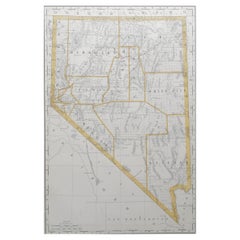
Items Similar to Large Original Antique Map of Arizona, Usa, C.1900

Want more images or videos?
Request additional images or videos from the seller
1 of 5
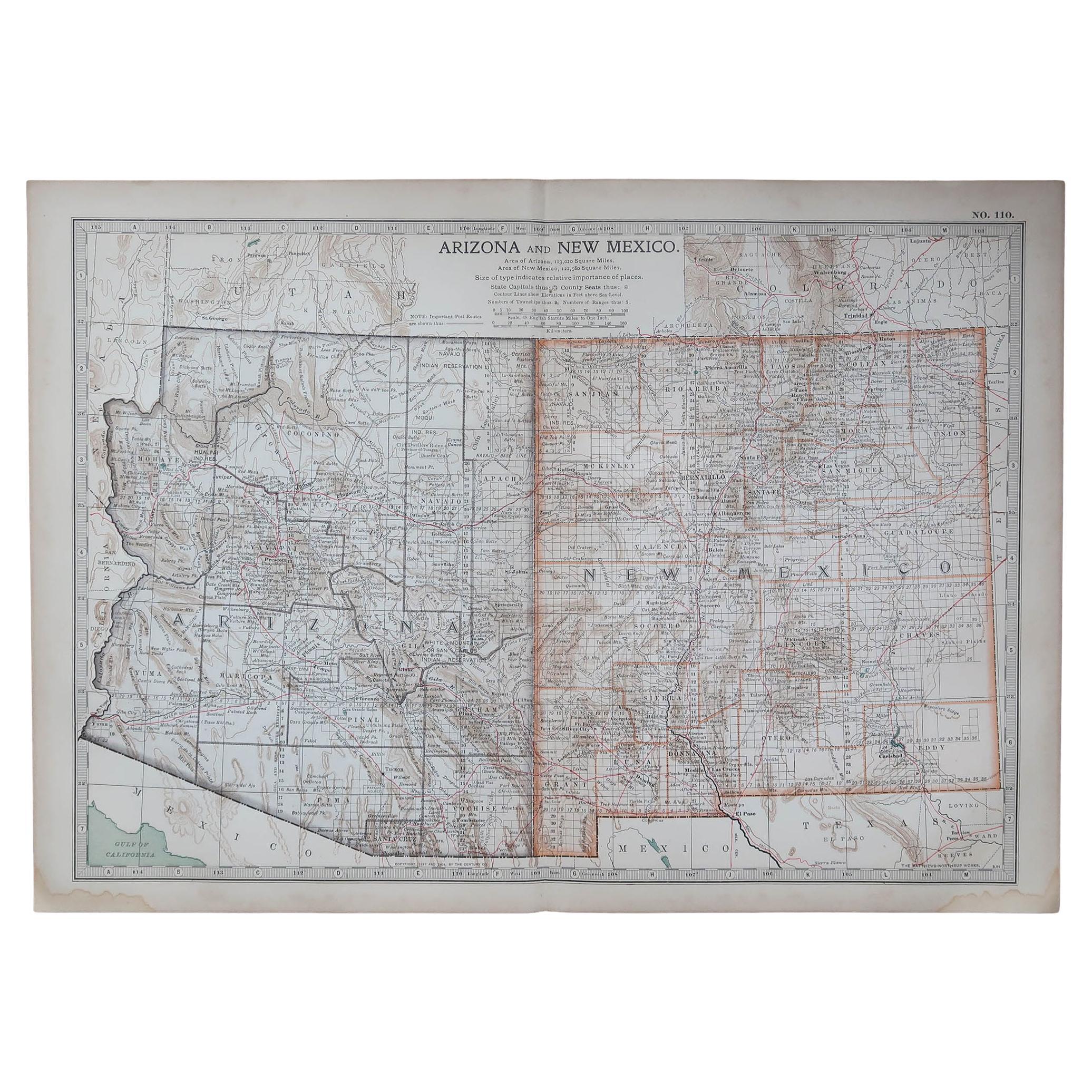
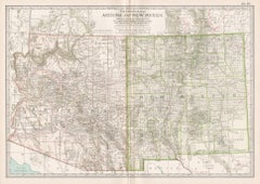
Large Original Antique Map of Arizona, Usa, C.1900
$90
£68.65
€78.17
CA$126.48
A$137.94
CHF 73.07
MX$1,653.72
NOK 930.61
SEK 850.98
DKK 584.01
About the Item
Fabulous map of Arizona
Original color.
Engraved and printed by the George F. Cram Company, Indianapolis.
Published, C.1900.
Unframed.
Free shipping.
- Dimensions:Height: 22 in (55.88 cm)Width: 15 in (38.1 cm)Depth: 0.07 in (1.78 mm)
- Materials and Techniques:Paper,Other
- Place of Origin:
- Period:
- Date of Manufacture:1900
- Condition:Wear consistent with age and use. ¹.
- Seller Location:St Annes, GB
- Reference Number:1stDibs: LU1836338032302
About the Seller
4.9
Platinum Seller
Premium sellers with a 4.7+ rating and 24-hour response times
1stDibs seller since 2016
3,245 sales on 1stDibs
Typical response time: 1 hour
Associations
International Confederation of Art and Antique Dealers
Associations
- ShippingRetrieving quote...Shipping from: St Annes, United Kingdom
- Return Policy
More From This Seller
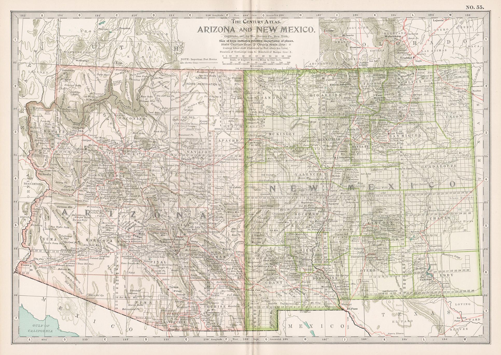
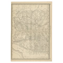
View AllOriginal Antique Map of the American State of Arizona
New Mexico, 1903
Located in St Annes, Lancashire
Antique map of Arizona and New Mexico
Published By A & C Black. 1903
Original colour
Good condition
Unframed.
Free shipping
Category
Antique Early 1900s English Maps
Materials
Paper

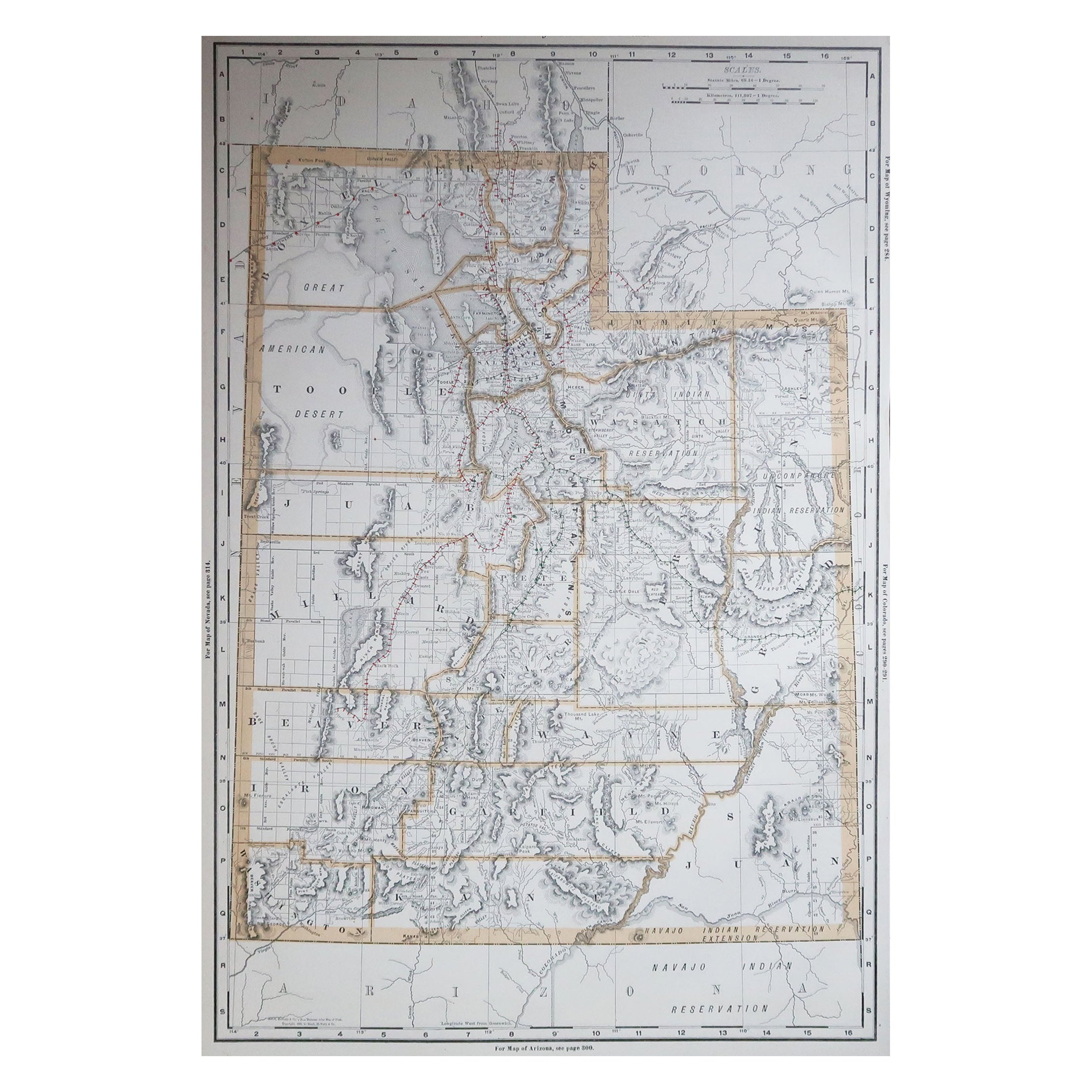
Large Original Antique Map of Utah, USA, 1894
By Rand McNally
Co.
Located in St Annes, Lancashire
Fabulous map of Utah
Original color
By Rand, McNally & Co.
Published, 1894
Unframed
Free shipping.
Category
Antique 1890s American Maps
Materials
Paper

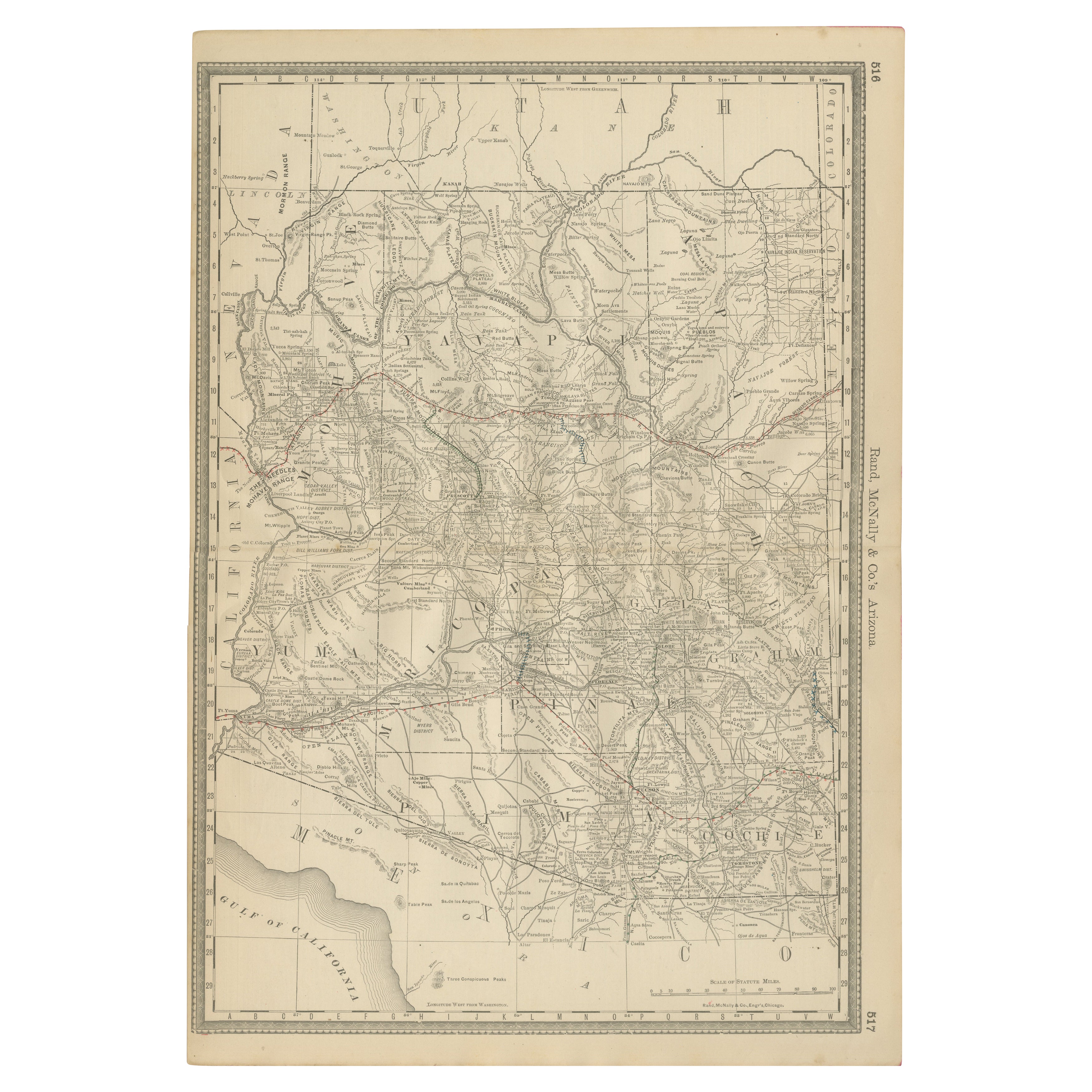
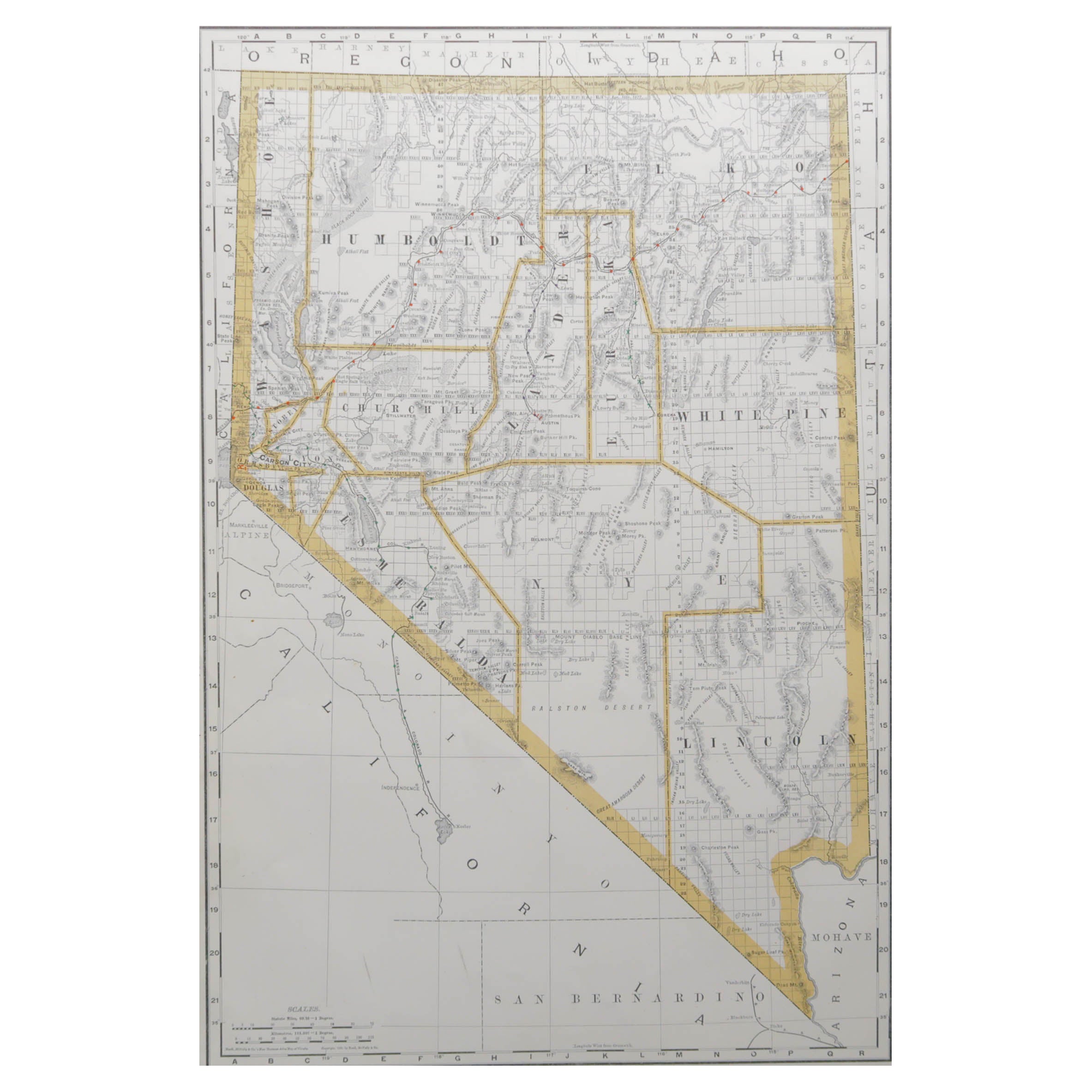
Large Original Antique Map of Nevada, USA, 1894
By Rand McNally
Co.
Located in St Annes, Lancashire
Fabulous map of Nevada
Original color
By Rand, McNally & Co.
Published, 1894
Unframed
Free shipping.
Category
Antique 1890s American Maps
Materials
Paper
Large Original Antique Map of California, USA, circa 1900
Located in St Annes, Lancashire
Fabulous map of California
Original color
Engraved and printed by the George F. Cram Company, Indianapolis.
Published, circa 1900
Unframed
Free shipping.
Category
Antique 1890s American Maps
Materials
Paper

Original Antique Map of the American State of Nevada, 1889
Located in St Annes, Lancashire
Great map of Nevada
Drawn and Engraved by W. & A.K. Johnston
Published By A & C Black, Edinburgh.
Original colour
Unframed.
Category
Antique 1880s Scottish Victorian Maps
Materials
Paper
Original Antique Map of the American State of Nevada
Utah, 1903
Located in St Annes, Lancashire
Antique map of Nevada and Utah
Published By A & C Black. 1903
Original colour
Good condition
Unframed.
Free shipping
Category
Antique Early 1900s English Maps
Materials
Paper
You May Also Like
Antique Map of California, Utah, Nevada, Colorado, New Mexico
Arizona
1872
Located in Langweer, NL
Antique map titled 'Johnson's California (..)'. Original map of California, Utah, Nevada, Colorado, New Mexico and Arizona. This map originates from ...
Category
Antique Late 19th Century Maps
Materials
Paper

$239 Sale Price
20% Off
Arizona and New Mexico. USA. Century Atlas state antique vintage map
Located in Melbourne, Victoria
'The Century Atlas. Arizona and New Mexico.'
Original antique map, 1903.
Central fold as issued. Map name and number printed on the reverse corners.
Sheet 29.5cm by 40cm.
Category
Early 20th Century Victorian More Prints
Materials
Lithograph
Rare 1888 Map of Arizona – Railroads, Mines
Early Frontier Settlements
Located in Langweer, NL
Antique Map of Arizona – Railroads, Mining Districts & Settlements, 1888
This antique engraved map presents the Territory of Arizona as it appeared in 1888, a period when the region...
Category
Antique Late 19th Century American Maps
Materials
Paper
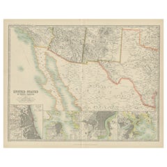
Antique Map of Part of the United States Including Lower California
Arizona
Located in Langweer, NL
Antique map of part of the United States of America including Lower California, Arizona and part of Mexico. This map was part of a set of six individual sheets with maps of the Unite...
Category
Antique Late 19th Century Maps
Materials
Paper

$421 Sale Price
20% Off
Antique Map of the United States
North West
by Johnston,
1909
Located in Langweer, NL
Antique map titled 'United States of North America'. Original antique map of the United States of North America ( North West ). This map originates from the ‘Royal Atlas of Modern Ge...
Category
Early 20th Century Maps
Materials
Paper

$239 Sale Price
20% Off
Antique Map of the United States of North America by Johnston
1909
Located in Langweer, NL
Antique map titled 'United States of North America'. Original antique map of United States of North America ( South West Sheet ). With inset maps of Chicago...
Category
Early 20th Century Maps
Materials
Paper
$335 Sale Price
20% Off
More Ways To Browse
Antique Sultanabad Carpets
Used Beige Sofa
Antique Plate Germany
Hand Tufted Rugs
Rare China
Side Table Made In Denmark
Thonet Antique
Victorian Hall Tables
Vintage Computer
England Antique Plates
19th Century Round Dining Table
Antique Counters
Antique Thrones
Carved Chinese Tables
Italian Ceramic 1960s
Mid Century Modern Danish Teak Dining Tables
Rosenthal Century
Long Rug Runners