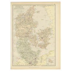
Items Similar to Map of Denmark, Schleswig, Holstein and Lauenburg – Leiden 1876

Want more images or videos?
Request additional images or videos from the seller
1 of 10
Map of Denmark, Schleswig, Holstein and Lauenburg – Leiden 1876
$382.93
£286.01
€320
CA$527.55
A$574.94
CHF 304.45
MX$6,905.60
NOK 3,854.45
SEK 3,543.79
DKK 2,437.85
About the Item
Title: Map of Denmark, Schleswig, Holstein and Lauenburg – Leiden 1876
Description:
This 19th-century Dutch map, titled “Denemarken, Sleeswijk, Holstein en Lauenburg,” was published in 1876 in the Nieuwe Hand-Atlas der Aarde in haren Tegenwoordigen Toestand by M. Frijlink, revised by A. van Otterloo, and printed by D. Noothoven van Goor in Leiden. The map provides a precise and finely detailed depiction of Denmark and the adjacent territories of Schleswig, Holstein, and Lauenburg, reflecting the complex political geography of the region following the mid-19th century territorial changes.
Each province and duchy is outlined in delicate hand-coloring—yellow, pink, green, or blue—to indicate political divisions and administrative borders. Major towns, roads, and waterways are clearly engraved, including Copenhagen, Odense, Aarhus, Kiel, and Flensburg. Insets enrich the composition: one shows Iceland (*IJsland*), another the Faroe Islands (*De Faer-Öer*), a detailed city plan of Copenhagen (*Kopenhagen*), and a smaller inset of Hamburg (*Hamburg en Omstreken*). Together, these provide an overview of the Danish kingdom and its dependencies during a period of transformation following the Second Schleswig War (1864).
This map embodies the precision and elegance characteristic of Dutch educational cartography in the late 19th century. It served both as an instructional resource and as an example of refined lithographic craftsmanship. The clarity of lettering, balanced layout, and informative insets demonstrate the care with which the Noothoven van Goor press produced its atlas plates.
Condition report:
Good condition with gentle age toning and minor foxing in the wide margins. Original center fold as issued. The printed image is crisp, and the hand-coloring remains fresh and even. No tears, losses, or repairs.
Framing tips:
A light cream mat with a narrow black or walnut frame complements the fine detail and balanced proportions of this map. Its composition, with ample margins and elegant insets, makes it ideal for framing in a study, hallway, or classic interior.
Technique: Lithograph with original hand-coloring
Maker: M. Frijlink
A. van Otterloo, published by D. Noothoven van Goor, Leiden, 1876
- Dimensions:Height: 21.66 in (55 cm)Width: 17.33 in (44 cm)Depth: 0.01 in (0.2 mm)
- Materials and Techniques:
- Place of Origin:
- Period:
- Date of Manufacture:1876
- Condition:Good condition with gentle age toning and minor foxing in the wide margins. Original center fold as issued. The printed image is crisp, and the hand-coloring remains fresh and even. No tears, losses, or repairs.
- Seller Location:Langweer, NL
- Reference Number:Seller: BG-12788-101stDibs: LU3054347454452
About the Seller
5.0
Recognized Seller
These prestigious sellers are industry leaders and represent the highest echelon for item quality and design.
Platinum Seller
Premium sellers with a 4.7+ rating and 24-hour response times
Established in 2009
1stDibs seller since 2017
2,788 sales on 1stDibs
Typical response time: <1 hour
- ShippingRetrieving quote...Shipping from: Langweer, Netherlands
- Return Policy
More From This Seller
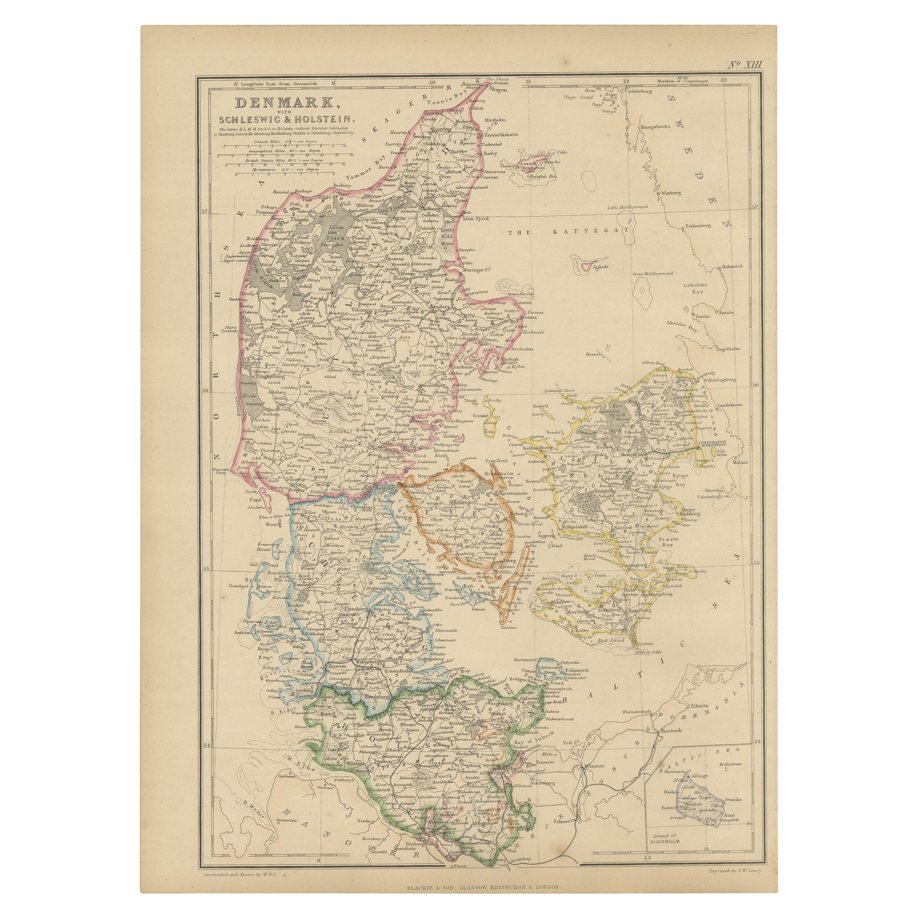
View All1859 Denmark and Schleswig-Holstein Map: A Historical View from Blackie
s Atlas
Located in Langweer, NL
The "Antique Map of Denmark with Schleswig & Holstein" from 'The Imperial Atlas of Modern Geography', published by W. G. Blackie in 1859, is a valuable historical document that provi...
Category
Antique Mid-19th Century Maps
Materials
Paper
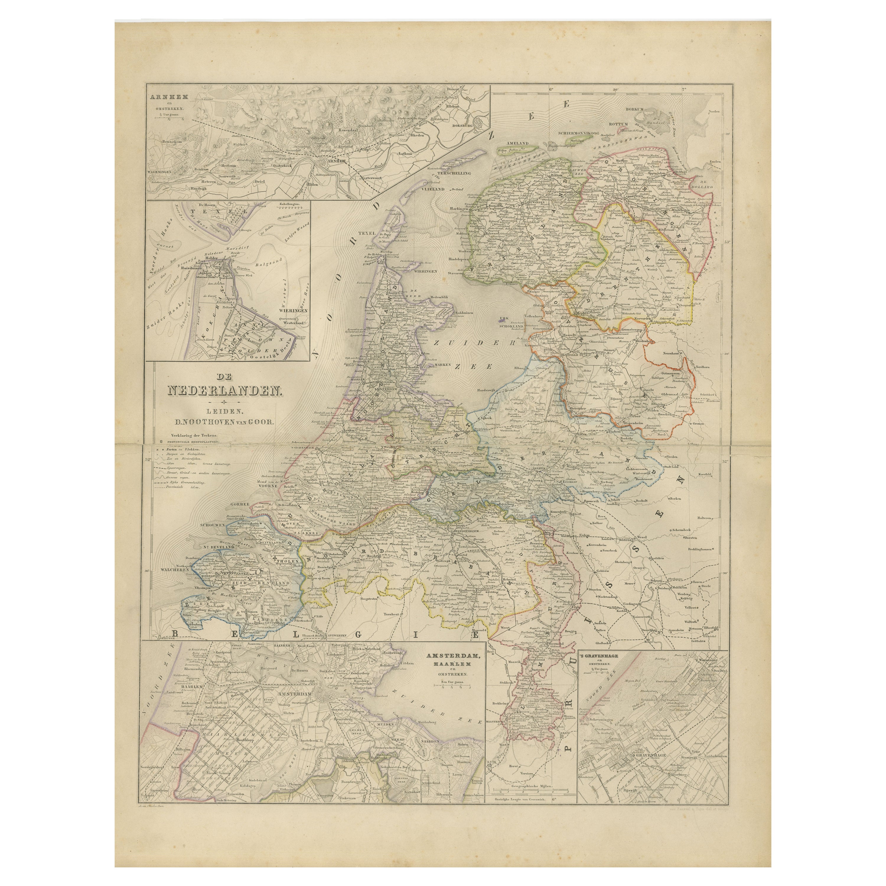
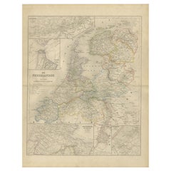
Map of the Netherlands with Insets of Amsterdam and Arnhem, Leiden 1876
Located in Langweer, NL
Map of the Netherlands with Insets of Amsterdam and Arnhem, Leiden 1876
This detailed 19th-century Dutch map, titled “De Nederlanden,” was published in 1876 in the Nieuwe Hand-Atlas...
Category
Antique 1870s Dutch Maps
Materials
Paper
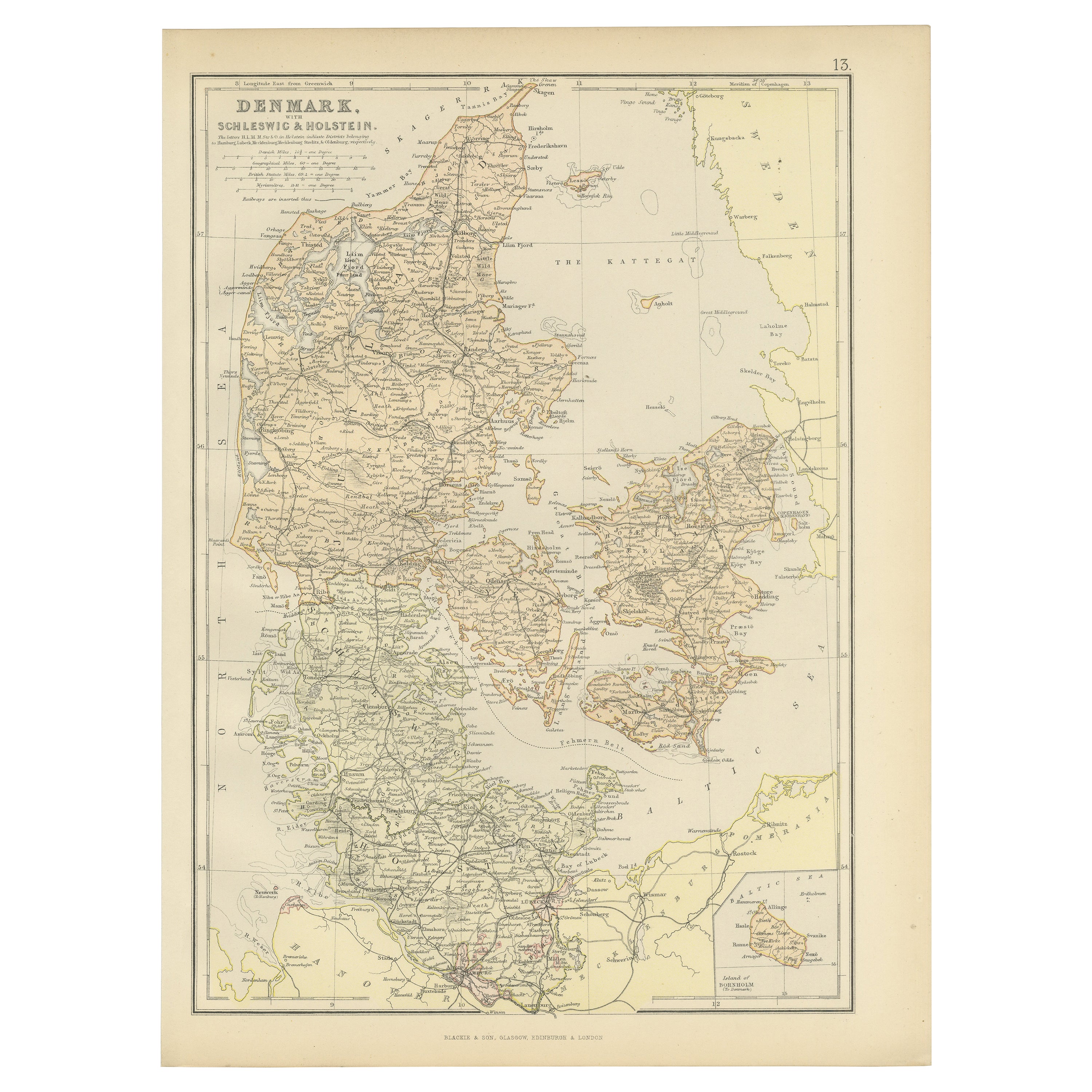
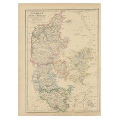
1882 Map of Denmark, Schleswig, and Holstein Highlighting Geographical Details
Located in Langweer, NL
This 1882 map of Denmark, Schleswig, and Holstein, published by Blackie and Son as part of the 'Comprehensive Atlas and Geography of the World,' provides a detailed representation of...
Category
Antique 1880s Maps
Materials
Paper
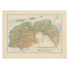
Antique Map of the Dutch Most Northern Provinces Friesland and Groningen, 1883
Located in Langweer, NL
Antique map titled 'Friesland en Groningen'. Map of Friesland and Groningen, provinces of the Netherlands. This map originates from 'Atlas van Nederland volgens de nieuwe spelregels'...
Category
Antique 19th Century Maps
Materials
Paper
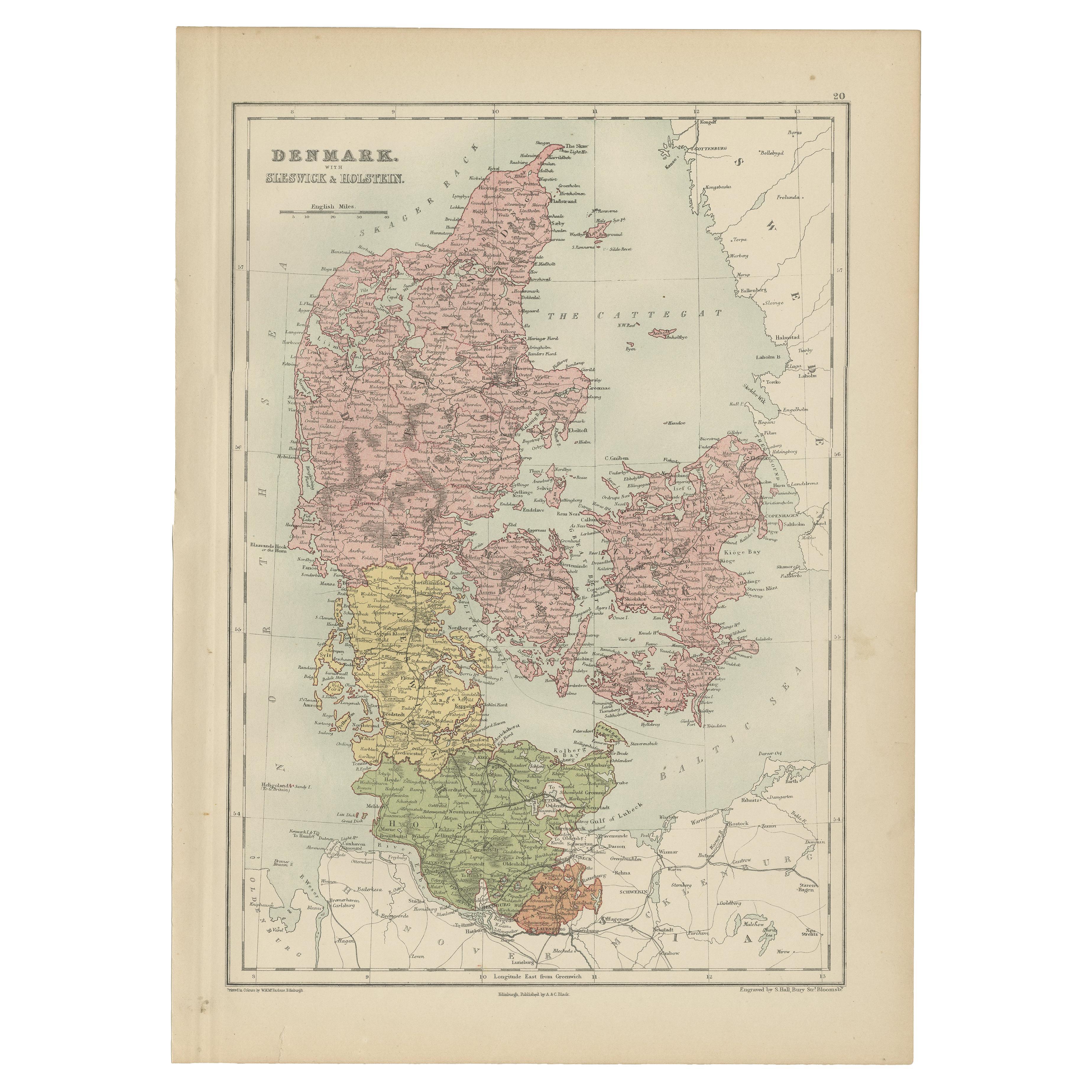
Antique Map of Denmark with Schleswig
Holstein by A
C. Black, 1870
Located in Langweer, NL
Antique map titled 'Denmark with Schleswig & Holstein'. Original antique map of Denmark with Schleswig & Holstein. This map originates from ‘Black's General Atlas of The World’. Publ...
Category
Antique Late 19th Century Maps
Materials
Paper

$125 Sale Price
40% Off
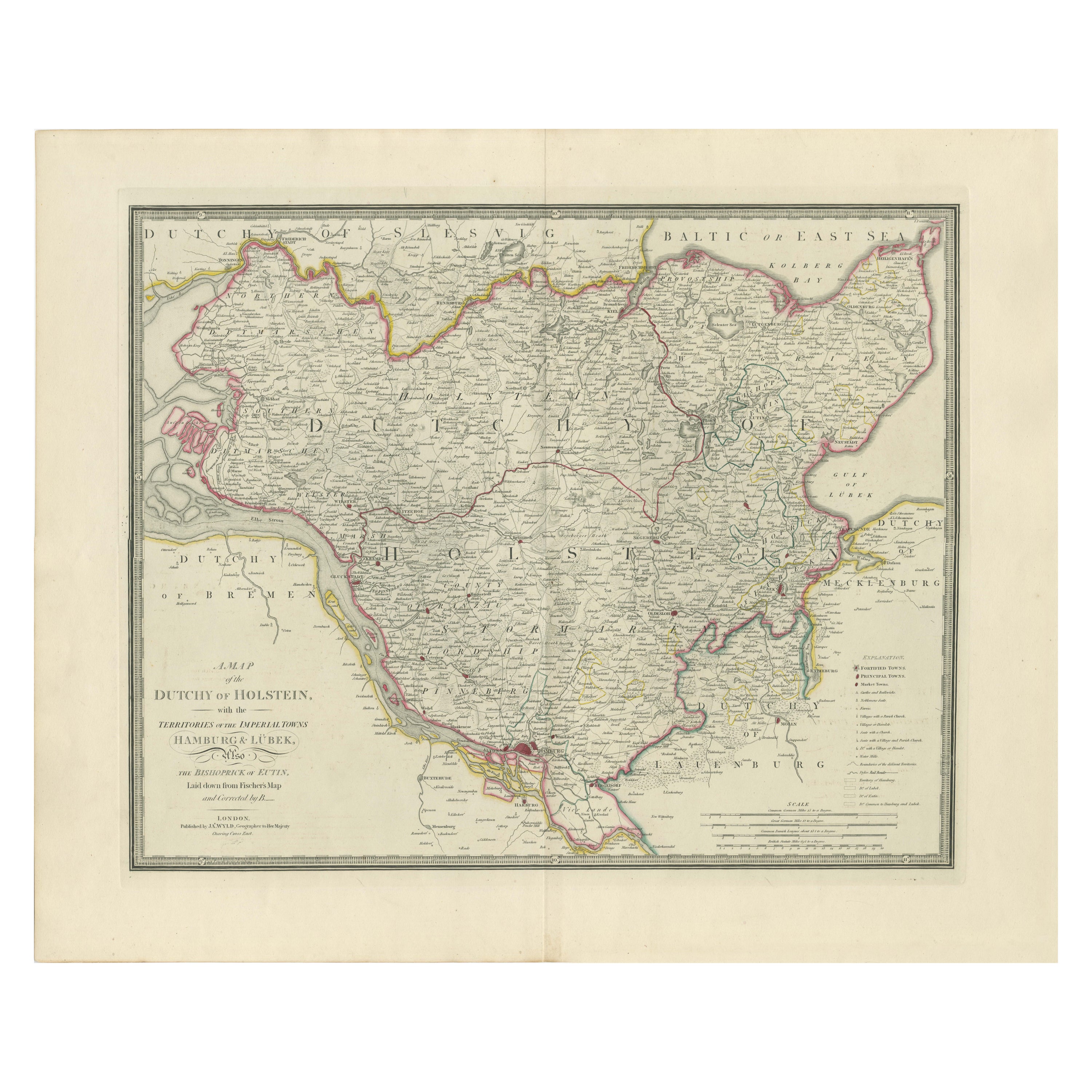
Map of the Dutchy of Holstein and the Territories of Hamburg
Lübek, 1875
Located in Langweer, NL
Title: Map of the Dutchy of Holstein and the Territories of Hamburg & Lübek by James Wyld, ca. 1875
Description: This is an antique map titled "A Map of the Dutchy of Holstein, with...
Category
Antique 1870s Maps
Materials
Paper

$899 Sale Price
20% Off
You May Also Like
Denmark. Century Atlas antique vintage map
Located in Melbourne, Victoria
'The Century Atlas. Denmark'
Original antique map, 1903.
Inset maps of 'Faroe Islands', 'Iceland' and 'Copenhagen'.
Central fold as issued. Map name and number printed on the reve...
Category
Early 20th Century Victorian More Prints
Materials
Lithograph

1849 Map of "Europaische Russland",
Meyer Map of European Russia
, Ric. R017
Located in Norton, MA
1849 Map of
"Europaische Russland"
( Meyer Map of European Russia)
Ric.r017
A lovely map of European Russia dating to 1849 by Joseph Meyer. It covers the European portions of...
Category
Antique 19th Century Unknown Maps
Materials
Paper

1839 Map of Karte Des "Russischen Reiches in Europa Und Asien" Ric.R0013
Located in Norton, MA
1839 map of Karte Des
"Russischen Reiches in Europa and Asien"
Ric.r013
Map of the European and Asian parts of Russian Empire. Karte der Russischen Reiches in Europa und Asien...
Category
Antique 19th Century Unknown Maps
Materials
Paper

Original Antique Map of Europe, Arrowsmith, 1820
Located in St Annes, Lancashire
Great map of Europe
Drawn under the direction of Arrowsmith.
Copper-plate engraving.
Published by Longman, Hurst, Rees, Orme and Brown, 1820
...
Category
Antique 1820s English Maps
Materials
Paper

1853 Map of "Russia in Europe Including Poland" Ric.r016
Located in Norton, MA
Description
Russia in Europe incl. Poland by J Wyld c.1853
Hand coloured steel engraving
Dimension: Paper: 25 cm W x 33 cm H ; Sight: 22 cm W x 28 cm H
Condition: Good ...
Category
Antique 19th Century Unknown Maps
Materials
Paper

1851 Map of "Independent Tartary", Ric. R018
Located in Norton, MA
1851 Map of
Independent Tartary
"Russia"
Ric.r018
A highly decorative 1851 map of Independent Tartary by John Tallis and John Rapkin. Covers the regions between the Caspian Sea and Lake Bakquash and between Russia and Afghanistan. These include the ancient Silk Route kingdoms of Khiva, Tartaria, Kokand, and Bokhara. Today this region roughly includes Kazakhstan, Uzbekistan, Turkmenistan, Kyrgyzstan, and Tajikistan. This wonderful map offers a wealth of detail for anyone with an interest in the Central Asian portion of the ancient Silk Road. Identifies various caravan routes, deserts, wells, and stopping points, including the cities of Bokhara and Samarkand. Three vignettes by W. Bragg decorate the map, these including an image of Tartars on a Journey, a horseback Bride Chase, and a tartar camp site. Surrounded by a vine motif border. Engraved by J. Rapkin for John Tallis's 1851 Illustrated Atlas .
Tartary Antique Map...
Category
Antique 19th Century Unknown Maps
Materials
Paper
