Items Similar to Map of Eure-et-Loir France with Chartres Cathedral and Marceau Portrait, c.1850


Want more images or videos?
Request additional images or videos from the seller
1 of 10
Map of Eure-et-Loir France with Chartres Cathedral and Marceau Portrait, c.1850
$168.15
£124.67
€140
CA$231
A$252.17
CHF 132.77
MX$3,020.73
NOK 1,698.10
SEK 1,550.39
DKK 1,066.75
About the Item
Map of Eure-et-Loir France with Chartres Cathedral and Marceau Portrait, 19th c
This detailed and elegantly illustrated 19th-century map of the Eure-et-Loir department in north-central France was drawn by Alexandre Vuillemin and published in Paris by Migeon as part of the *Nouvel Atlas Illustré*. Combining precise cartography with rich historical symbolism, the map captures the agricultural and cultural identity of a region closely tied to the history of the French monarchy and the Catholic Church.
Outlined in soft lilac hand-coloring, the map shows the full extent of Eure-et-Loir, including its road networks, towns, and rivers. The city of Chartres, the department’s capital, is prominently featured near the center. Other important towns such as Dreux, Nogent-le-Rotrou, and Châteaudun are also clearly marked, reflecting the region’s strategic position between Paris and the Loire Valley.
At the top right is a finely engraved portrait of General François-Séverin Marceau, a revolutionary army officer born in Chartres in 1769. His military legacy is commemorated through his prominent placement on the map. At the bottom, two vignettes feature striking views of the region’s medieval fortresses and ruined châteaux, offering a glimpse into its feudal and architectural past. One engraving is likely a view of the ruins near Châteaudun or Nogent-le-Rotrou, reinforcing the historical depth of the area.
Eure-et-Loir lies within the Beauce plain, one of the most productive agricultural areas in France, often referred to as the "granary of France" due to its vast wheat fields. Though not a major wine-producing department, the region is vital for its grain and livestock production and has a long ecclesiastical tradition. Chartres Cathedral, a UNESCO World Heritage site, is one of the most celebrated examples of Gothic architecture in Europe, known for its towering spires and remarkably preserved stained-glass windows.
This map is an ideal addition for collectors interested in French history, military heritage, or ecclesiastical art, offering both visual charm and regional significance.
Condition summary:
Very good condition with light age toning and minor foxing in the margins. The engraving remains sharp and the original hand coloring is well preserved.
Framing tips:
A dark walnut or black frame will emphasize the historical gravitas of this map. Pair it with an ivory or soft grey mat to enhance the coloring and support the Gothic architectural details. UV-protective glass is recommended for display and archival care.
- Dimensions:Height: 12.8 in (32.5 cm)Width: 10.28 in (26.1 cm)Depth: 0.01 in (0.2 mm)
- Materials and Techniques:Paper,Engraved
- Place of Origin:
- Period:
- Date of Manufacture:circa 1850
- Condition:Very good condition with light age toning and minor foxing in the margins. The engraving remains sharp and the original hand coloring is well preserved.
- Seller Location:Langweer, NL
- Reference Number:Seller: BG-13331-271stDibs: LU3054345363892
About the Seller
5.0
Recognized Seller
These prestigious sellers are industry leaders and represent the highest echelon for item quality and design.
Platinum Seller
Premium sellers with a 4.7+ rating and 24-hour response times
Established in 2009
1stDibs seller since 2017
2,810 sales on 1stDibs
Typical response time: <1 hour
- ShippingRetrieving quote...Shipping from: Langweer, Netherlands
- Return Policy
More From This Seller
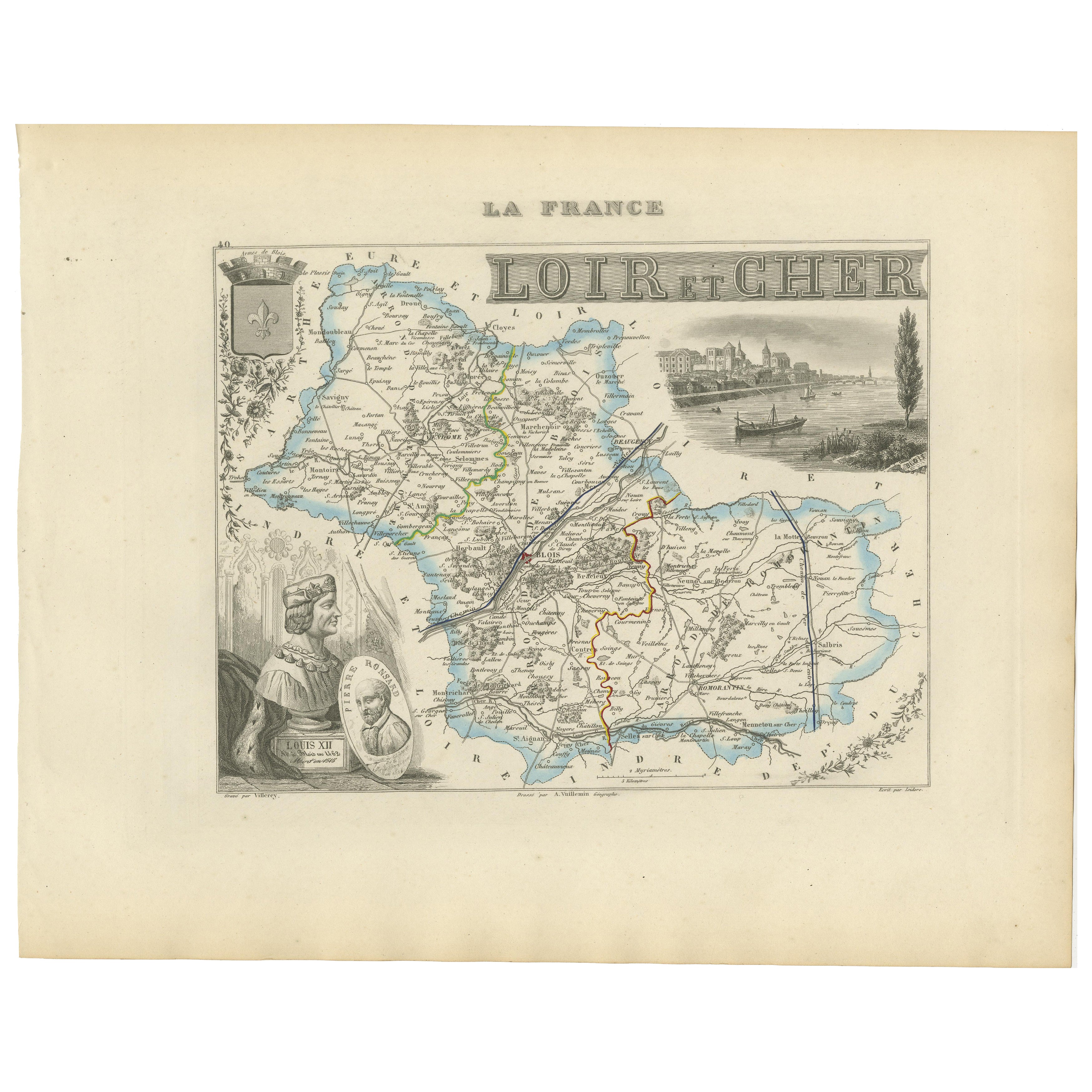
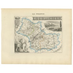
View All19th Century Map of Loir-et-Cher, France – Blois, Vendôme, Loire Valley Castles
Located in Langweer, NL
Antique Map of Loir-et-Cher, France by Vuillemin, 19th Century
A beautifully engraved 19th-century map of the département of Loir-et-Cher, drawn and engraved by Alexandre Vuillemin....
Category
Antique Mid-19th Century French Maps
Materials
Paper
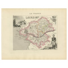
Map of Loire France with Saint-Étienne and Montbrison by Vuillemin, 19th c
Located in Langweer, NL
Map of Loire France with Saint-Étienne and Montbrison by Vuillemin, 19th c
This beautifully engraved and hand-colored map of the department of Loire in east-central France is from t...
Category
Antique Mid-19th Century French Maps
Materials
Paper

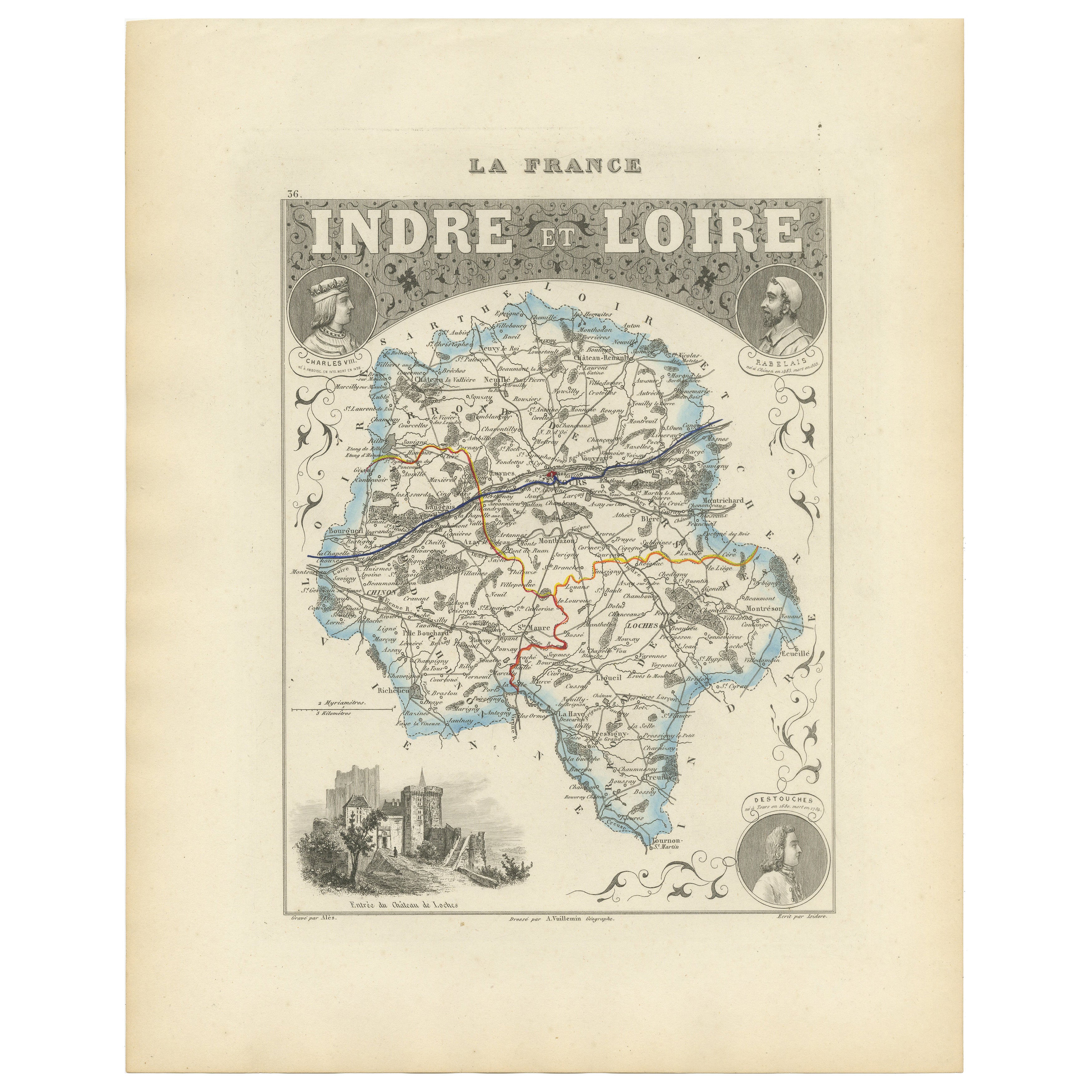
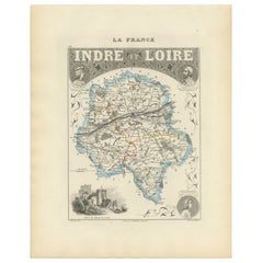
Antique French Map of Indre-et-Loire with Tours, Amboise, Chinon, 1800s
Located in Langweer, NL
Antique Map of Indre-et-Loire, France by Vuillemin, 19th Century
This beautifully engraved map illustrates the département of Indre-et-Loire, located in the Centre-Val de Loire regi...
Category
Antique Mid-19th Century French Maps
Materials
Paper
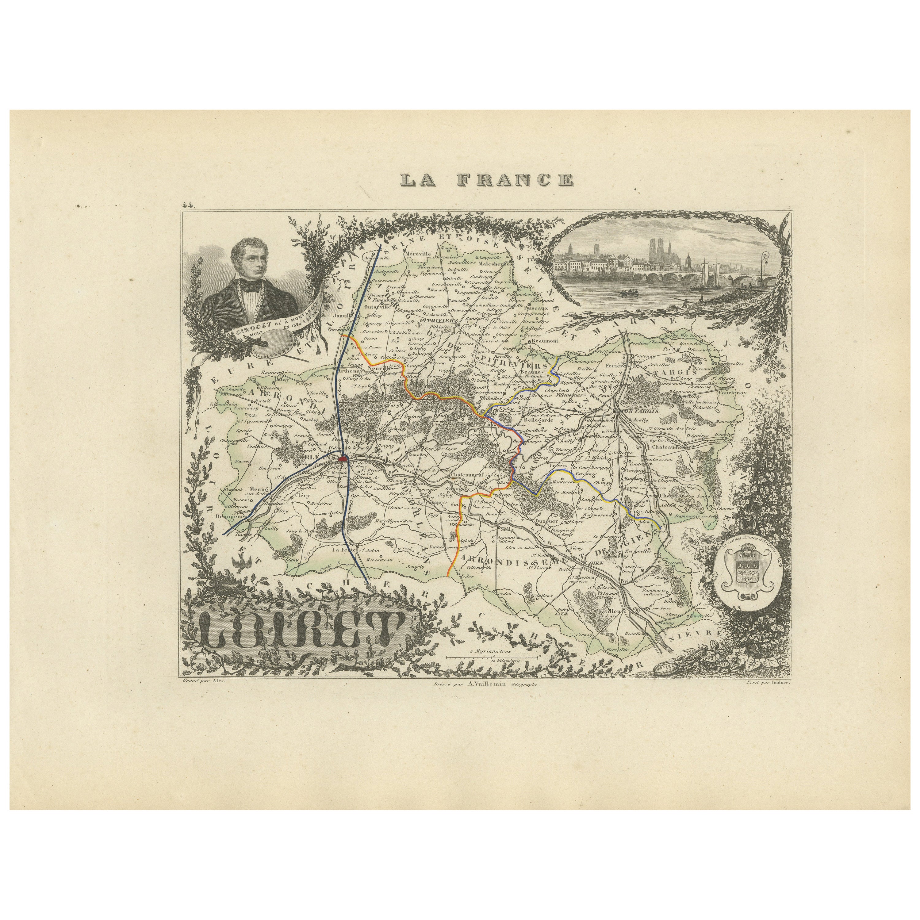
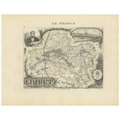
Map of Loiret France with Orléans and Loire River by Vuillemin, 19th c
Located in Langweer, NL
Map of Loiret France with Orléans and Loire River by Vuillemin, 19th c
This antique hand-colored map of the Loiret department, engraved by Alexandre Vuillemin and published by Migeo...
Category
Antique Mid-19th Century French Maps
Materials
Paper
Map of Côtes-du-Nord France with Saint-Brieuc and Brittany Coastline, c.1850
Located in Langweer, NL
Map of Côtes-du-Nord France with Saint-Brieuc and Brittany Coastline, 19th c
Description:
This elegant 19th-century map of Côtes-du-Nord, the historic name for what is now known as ...
Category
Antique Mid-19th Century French Maps
Materials
Paper

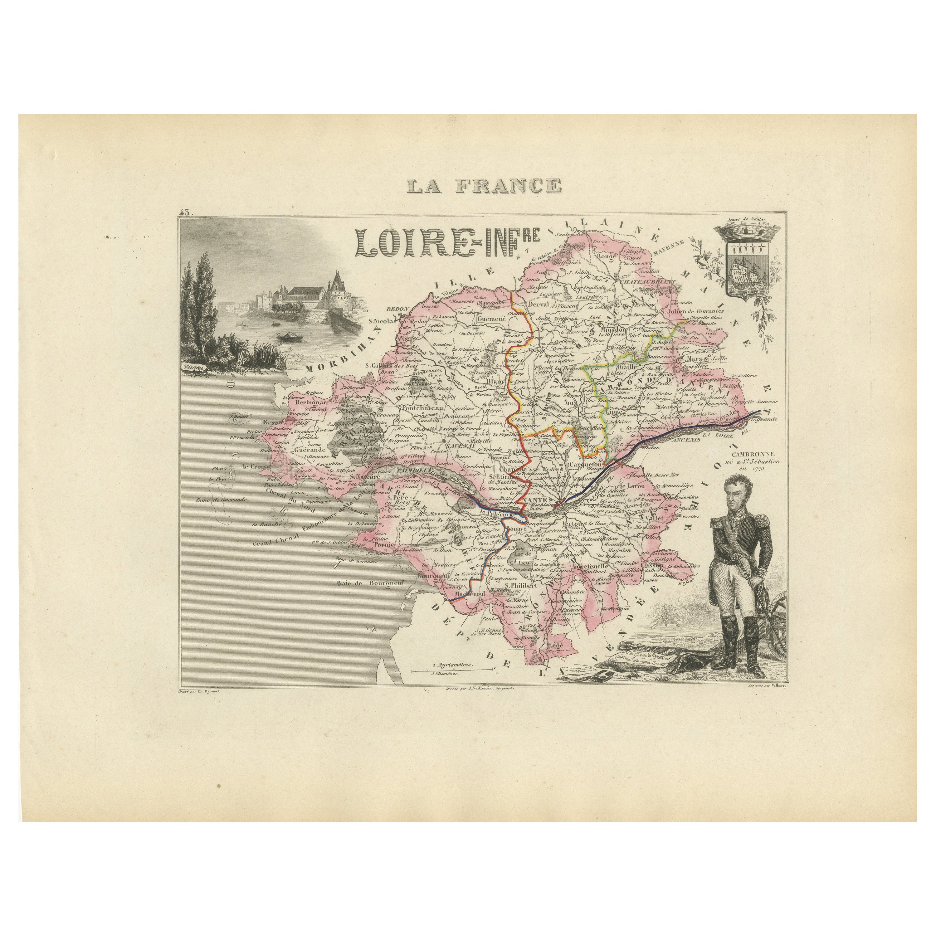
Map of Loire-Inférieure France with Nantes and Estuary by Vuillemin, 19th c
Located in Langweer, NL
Map of Loire-Inférieure France with Nantes and Estuary by Vuillemin, 19th c
This finely engraved and hand-colored map of Loire-Inférieure (modern-day Loire-Atlantique) was created b...
Category
Antique Mid-19th Century French Maps
Materials
Paper
You May Also Like
Loir and Cher, France. Antique map of a French department, 1856
By Victor Levasseur
Located in Melbourne, Victoria
'Dept. de Loir and Cher', steel engraving with original outline hand-colouring., 1856, from Levasseur's Atlas National Illustre.
This area is mainly known for its production of Sel...
Category
19th Century Naturalistic Landscape Prints
Materials
Engraving
Saone and Loire, France. Antique map of a French department, 1856
By Victor Levasseur
Located in Melbourne, Victoria
'Dept. de Saone et Loire', steel engraving with original outline hand-colouring., 1856, from Levasseur's Atlas National Illustre.
The French department of Saone et Loire is at the ...
Category
19th Century Naturalistic Landscape Prints
Materials
Engraving

Indre and Loire, France. Antique map of a French department, 1856
By Victor Levasseur
Located in Melbourne, Victoria
'Dept. d'Indre et Loire', steel engraving with original outline hand-colouring., 1856, from Levasseur's 'Atlas National Illustre'.
This area is known for its production of Chenin b...
Category
19th Century Naturalistic Landscape Prints
Materials
Engraving

Aube, France. Antique map of a French department, 1856
By Victor Levasseur
Located in Melbourne, Victoria
'Dept. de L'Aube', steel engraving with original outline hand-colouring., 1856, from Levasseur's 'Atlas National Illustre'.
This area of France is known for its production of Chaou...
Category
19th Century Naturalistic Landscape Prints
Materials
Engraving

L
Isere, France. Antique map of French department, 1856
By Victor Levasseur
Located in Melbourne, Victoria
'Dept. de L'Isere', Steel engraving with original outline hand-colouring., 1856, from Levasseur's 'Atlas National Illustre'.
This area is known for its production of Bleu du Vercor...
Category
19th Century Naturalistic Landscape Prints
Materials
Engraving

Aude, France. Antique map of a French department, 1856
By Victor Levasseur
Located in Melbourne, Victoria
'Dept. de L' Aude', steel engraving with original outline hand-colouring., 1856, from Levasseur's 'Atlas National Illustre'.
This area of France is famous for its wide variety of v...
Category
19th Century Naturalistic Landscape Prints
Materials
Engraving

More Ways To Browse
Ecclesiastical Art
Paisley Rugs and Carpets
Black And Chrome Lounge Chair
Vintage 1930 Dining Room Set
Antique Victorian Dining Tables
Environment Furniture
Italian Plastic Chairs
Made In Belgium
Black Crystal Glasses
French Mid Century Modern Rug
China Silk Rug
Chrome Glass Coffee Tables
Antique Italian Chairs
Antique Walnut Bar
Beni Ourain Rugs
French Iron And Glass Table
Glass Top Wood Base Coffee Tables
T Chair