Items Similar to Map Hanging Wall County of Devon C&J Greenwood 1827 Exeter Cathedral Lundy Isle
Want more images or videos?
Request additional images or videos from the seller
1 of 21
Map Hanging Wall County of Devon C&J Greenwood 1827 Exeter Cathedral Lundy Isle
$13,640.47
£10,000
€11,615.33
CA$18,793.15
A$20,496.57
CHF 10,857.70
MX$245,724.82
NOK 138,278.87
SEK 126,445.76
DKK 86,777.92
About the Item
C
J GREENWOOD MAP OF THE COUNTY OF DEVON, FROM AN ORIGINAL SURVEY, PUBLISHED 1827, WITH ENGRAVING OF EXETER CATHEDRAL AND MAP OF LUNDY INSET, 6ft 2 ¼” long, 6ft 4¼” high
Printed on nine sheets of paper, assembled and re-lined on an Irish linen lining support with a wooded roller at the top and bottom edges.
Conserved by Museum Conservation Services, cleaned, old adhesive removed replaced with degraded gelatine size to increase the strength of the paper and resistency to decay, re-assembled and relined using Japanese paper and wheat starch past, adding unbleached Irish linen lining,
Length 1886mm., 74¼ inches
Height 1936mm., 76¼ inches
- Dimensions:Height: 76.23 in (193.6 cm)Width: 74.26 in (188.6 cm)Depth: 0.4 in (1 cm)
- Style:Early Victorian (Of the Period)
- Materials and Techniques:Paper,Engraved
- Place of Origin:
- Period:
- Date of Manufacture:1827
- Condition:Repaired: conserved see above. Wear consistent with age and use.
- Seller Location:BUNGAY, GB
- Reference Number:1stDibs: LU3867331821992
About the Seller
5.0
Vetted Professional Seller
Every seller passes strict standards for authenticity and reliability
Established in 1985
1stDibs seller since 2018
103 sales on 1stDibs
Typical response time: 5 hours
- ShippingRetrieving quote...Shipping from: BUNGAY, United Kingdom
- Return Policy
More From This Seller
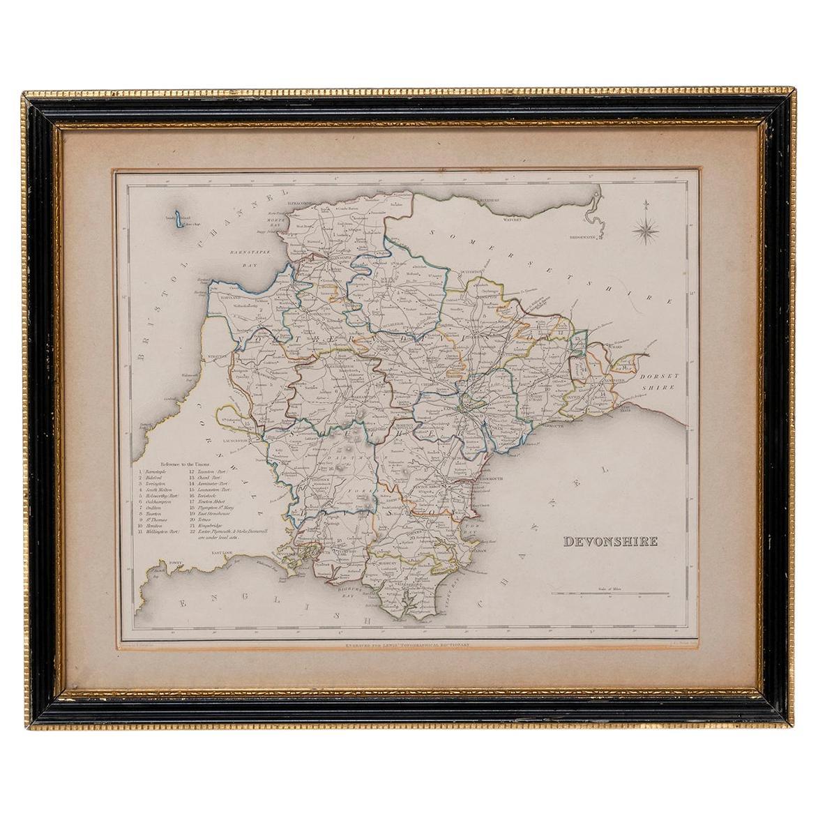
View AllMap Devonshire Richard Creighton J&C Walker Sculp Samuel Lewis
Located in BUNGAY, SUFFOLK
Devonshire drawn by Richard Creighton with reference to the Unions
Artist Richard Creighton
Engraved by J&C Walker Sculp
Published in Samuel Lewis Topographical Dictionary 1831, a...
Category
Antique 19th Century English Victorian Maps
Materials
Paper
Map Southern Scotland Thomas Conder Alex Hogg 1795
Located in BUNGAY, SUFFOLK
A new map of the southern part of Scotland containing the counties of Stirling, Lanerk, Renfrew, Linlithgow, Edinburgh, Peebles, Haddingtoun, Berwick, Selkirk, Roxburgh, Dumfries, Wigtoun, Kirkudbright & Air
Published by Alex Hogg at the Kings Arms...
Category
Antique 18th Century English Georgian Maps
Materials
Paper

Map North Wales Robert Marsden Anglesey
Located in BUNGAY, SUFFOLK
Map of North Wales by Robert Marsden
Including Anglesey
Charming topography and detail and colouring
just purchased more information to follow.
Category
Antique 18th Century English Georgian Maps
Materials
Paper

Map Nottinghamshire Worksop Manor Newstead Abbey Nottingham Castle Shields H37cm
Located in BUNGAY, SUFFOLK
Map of Nottinghamshire with engravings of Worksop Manor Nottingham Castle Newstead Abbey
BIBLIOGRAPHY published in Barclay's Universal English Dicti...
Category
Antique 19th Century English Victorian Maps
Materials
Paper
Map Shropshire Joseph Ellis Robert Sayer Carington Bowles Framed
Located in BUNGAY, SUFFOLK
A modern map of Shropshire Drawn from the latest surveys corrected and improved by the best authorities.
Artist Joseph Ellis sculptor.
Joseph Ellis was an engraver and publisher from Clerkenwell in London and was apprenticed to Richard William Seale in 1749. He is best know to county map collectors for The New English Atlas published in 1765 which was later reissued as Ellis's English Atlas in 1766, 1768 1777, 1786, 1790 and 1796.
Maker carington bowles 1724 - 1793.
Carington Bowles worked in London as a publisher in partnership with his father John Bowles from about 1752 until 1763. Carington Bowles worked as a publisher in partnership with his father John Bowles from about 1752 until 1763 before taking over his uncle's business. His address was 69 St. Pauls Church Yard, London. He worked with a number of well known cartographers of the day including Emanuel Bowen, Thomas Kitchin, Robert Sayer...
Category
Antique 18th Century English Georgian Maps
Materials
Paper

Map Bedfordshire WilliamSchmollinger Dunstable Priory Woburn Abbey Moules Gothic
Located in BUNGAY, SUFFOLK
ARTIST William Schmollinger (1811-1869)
London : George Virtue, 1832. A highly attractive map in gothick style, with an ornamental architectural border, inset views of Dunstable Priory and Woburn Abbey...
Category
Antique 19th Century English Victorian Maps
Materials
Paper
You May Also Like
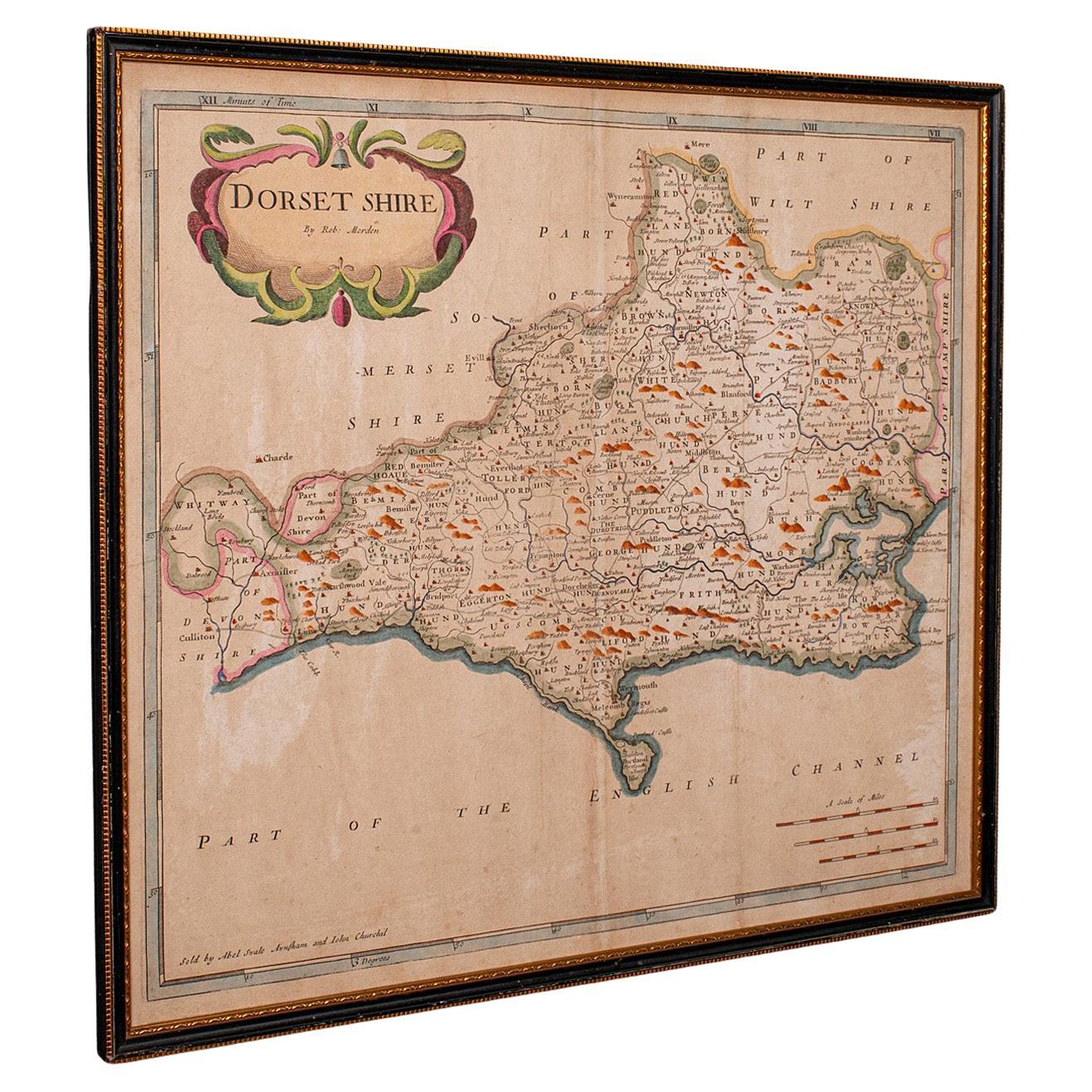
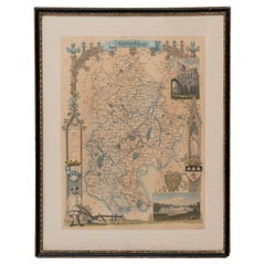
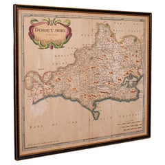
Large Antique 17th Century Dorset Map, Framed Cartography, Atlas, Robert Morden
Located in Hele, Devon, GB
This is an antique county map of Dorset. An English, framed atlas engraving of cartographic interest By Robert Morden, dating to the late 17th century and later.
Superb lithography ...
Category
Antique 1690s British William and Mary Decorative Art
Materials
Glass, Paper
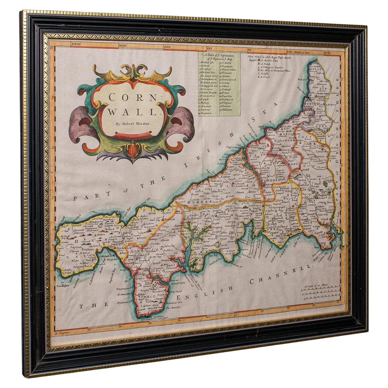
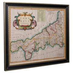
Antique County Map, Cornwall, Kernow, English, Framed, Robert Morden, Georgian
Located in Hele, Devon, GB
This is an antique county map of Cornwall. An English, framed atlas engraving of cartographic interest By Robert Morden, dating to the late 17th century and later.
Superb lithograph...
Category
Antique Early 18th Century British Georgian Maps
Materials
Glass, Paper
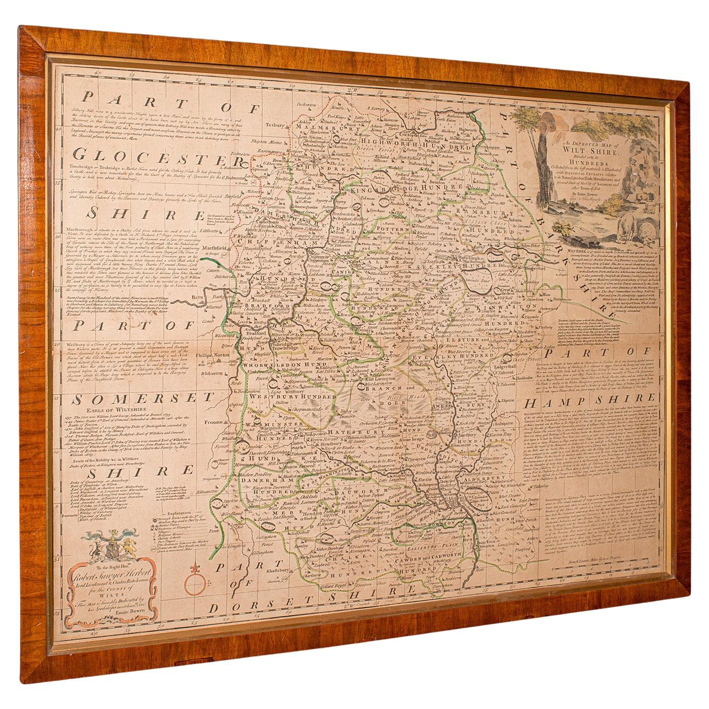
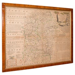
Large Antique Wiltshire Map, County Cartography, Framed, English, 18th Century
Located in Hele, Devon, GB
This is an antique county map of Wiltshire. An English, framed atlas engraving of cartographic interest By Emmanuel Bowen, dating to the mid 18th century and later.
Superb lithograp...
Category
Antique 1750s British Georgian Decorative Art
Materials
Glass, Paper
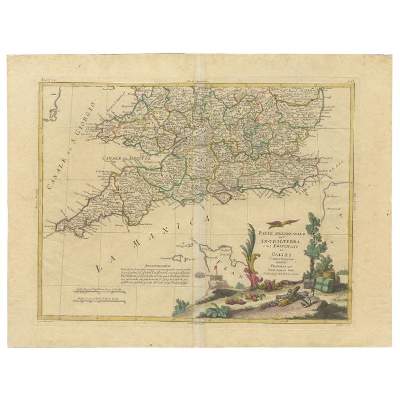
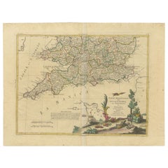
Antique Map of Southern England and Wales by Zatta, 1784
Located in Langweer, NL
"Antique map titled 'Parte Meridionale dell' Inghilterra e del Pricipato di Galles'. Engraved map of the southern part of England and Wales, with title cartouche. Shows political and...
Category
Antique 18th Century Maps
Materials
Paper
$204 Sale Price
20% Off
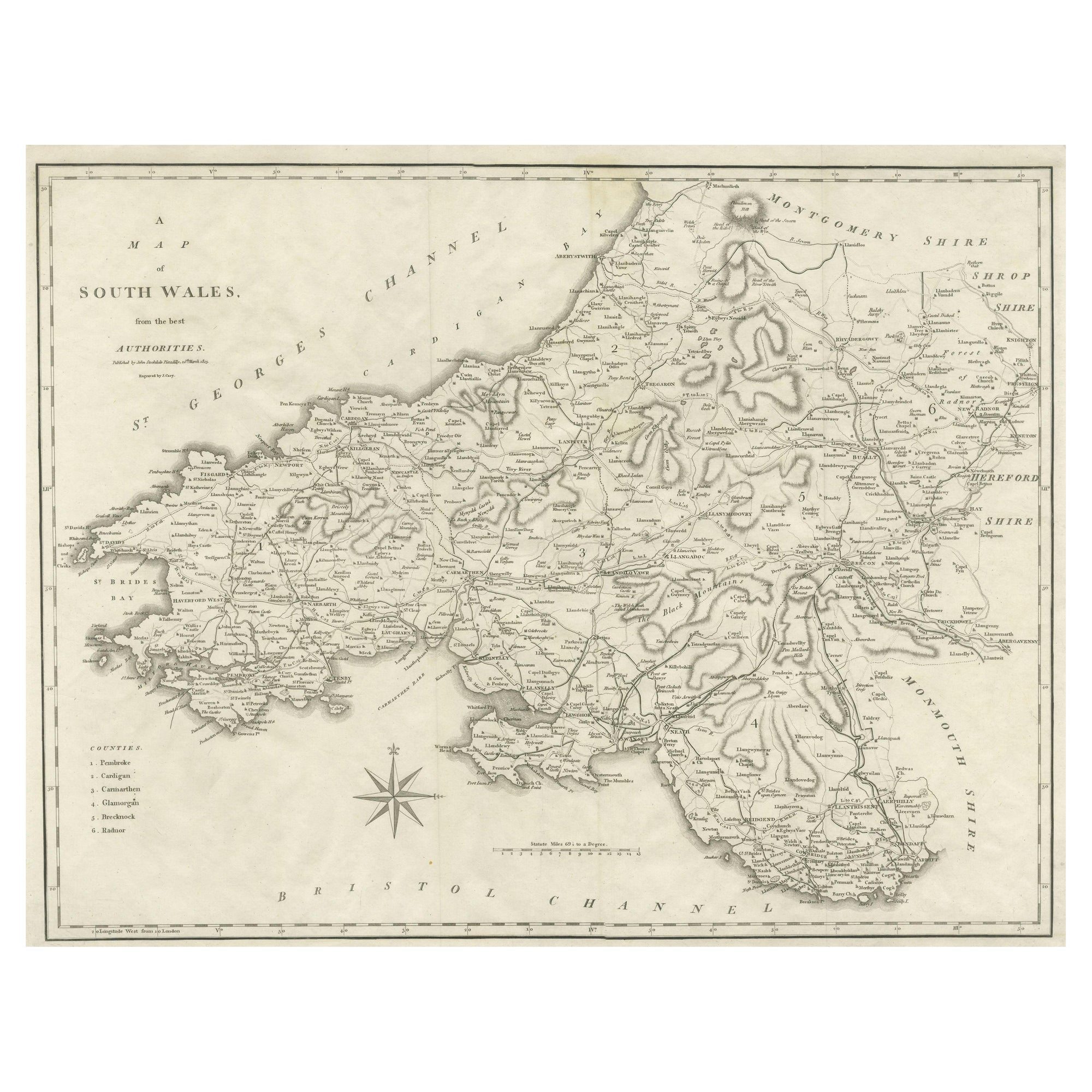
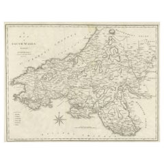
Large Antique County Map of South Wales, England
Located in Langweer, NL
Antique map titled 'A Map of South Wales from the best Authorities'. Original old county map of South Wales, England. Engraved by John Cary. Originates from 'New British Atlas' by Jo...
Category
Antique Early 19th Century Maps
Materials
Paper
$172 Sale Price
20% Off
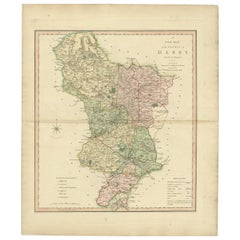
Antique County Map of Derbyshire, England, 1804
Located in Langweer, NL
Antique county map of Derbyshire first published, circa 1800. Villages, towns, and cities illustrated include Chesterfield, Wirksworth, Derby, and ...
Category
Antique Early 1800s Maps
Materials
Paper
$311 Sale Price
20% Off
More Ways To Browse
Devon England
Used Furniture Exeter
Aden Yemen
Dakota Johnson
French School Map
L Tardieu
Laos Antique Map
Map New Holland
Mauritius Antique Map
Nantucket Poster
Nicolas Baier
Ruben Benjamin
Washington Dc Map
Wood Carved Golfer
1681 Moses Pitt
Antique Map Bermuda
Antique Map Of Brooklyn
Antique Map Of Republic Of Texas