Items Similar to Original Antique Map of the American State of Oregon, 1889

Want more images or videos?
Request additional images or videos from the seller
1 of 5
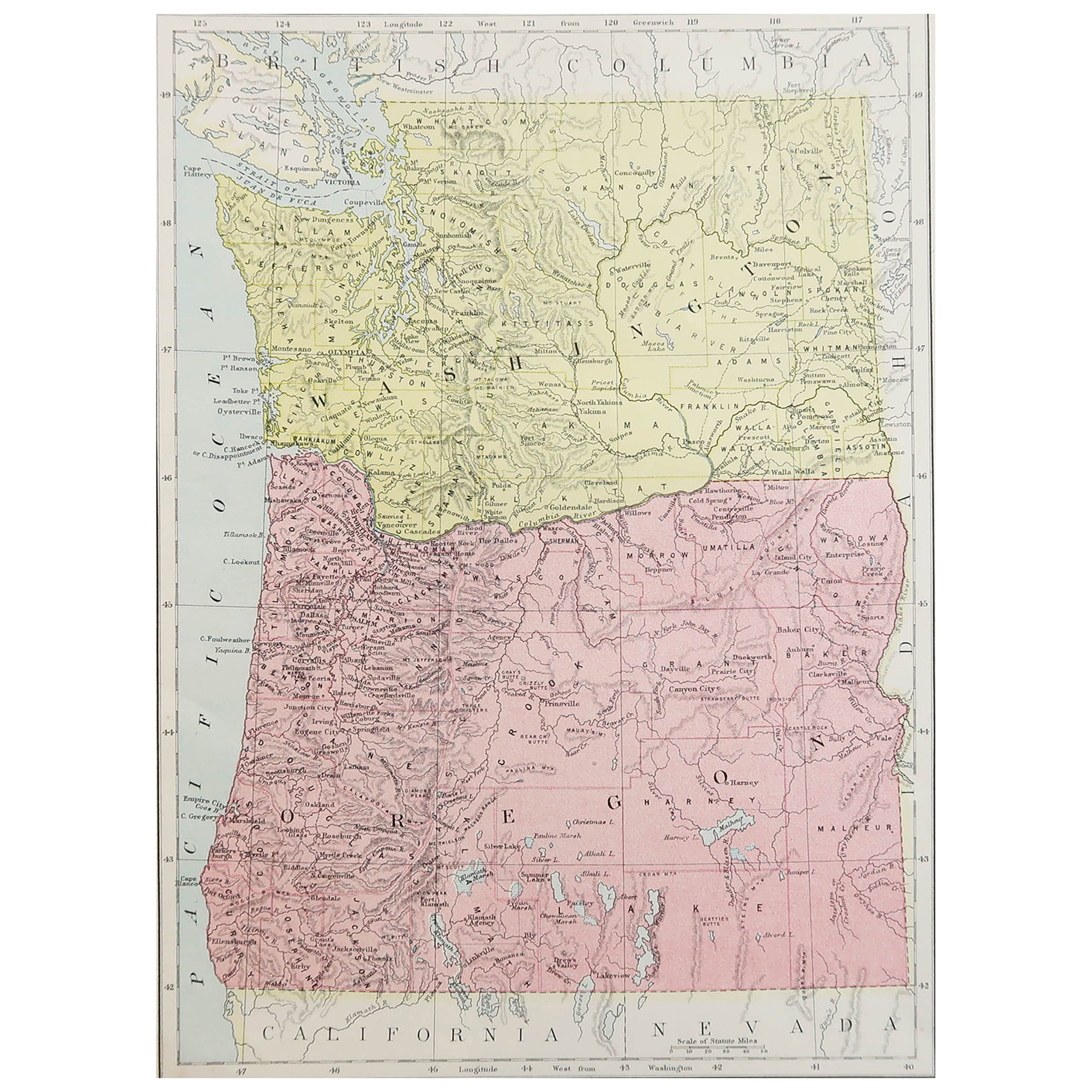
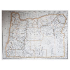
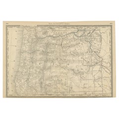
Original Antique Map of the American State of Oregon, 1889
$35
£26.59
€30.56
CA$49.16
A$53.51
CHF 28.35
MX$643.56
NOK 360.51
SEK 330.37
DKK 228.27
About the Item
Great map of Oregon
Drawn and Engraved by W.
A.K. Johnston
Published By A
C Black, Edinburgh.
Original colour
Unframed.
- Dimensions:Height: 11 in (27.94 cm)Width: 8 in (20.32 cm)Depth: 0.07 in (1.78 mm)
- Style:Victorian (Of the Period)
- Materials and Techniques:Paper,Other
- Place of Origin:
- Period:
- Date of Manufacture:1889
- Condition:Wear consistent with age and use.
- Seller Location:St Annes, GB
- Reference Number:1stDibs: LU1836335814562
About the Seller
4.9
Gold Seller
Premium sellers maintaining a 4.3+ rating and 24-hour response times
1stDibs seller since 2016
3,268 sales on 1stDibs
Typical response time: 1 hour
Associations
International Confederation of Art and Antique Dealers
Associations
- ShippingRetrieving quote...Shipping from: St Annes, United Kingdom
- Return Policy
More From This Seller
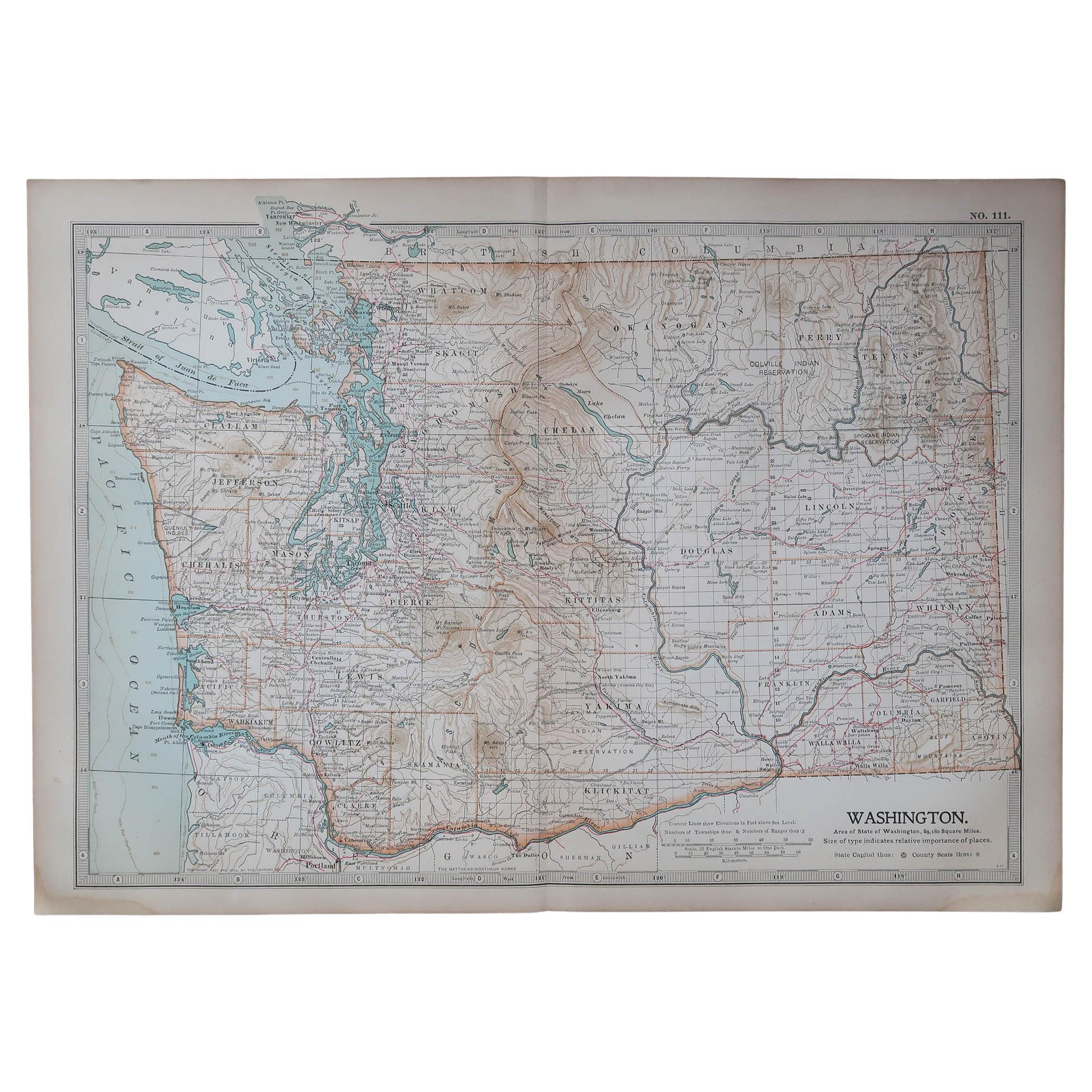
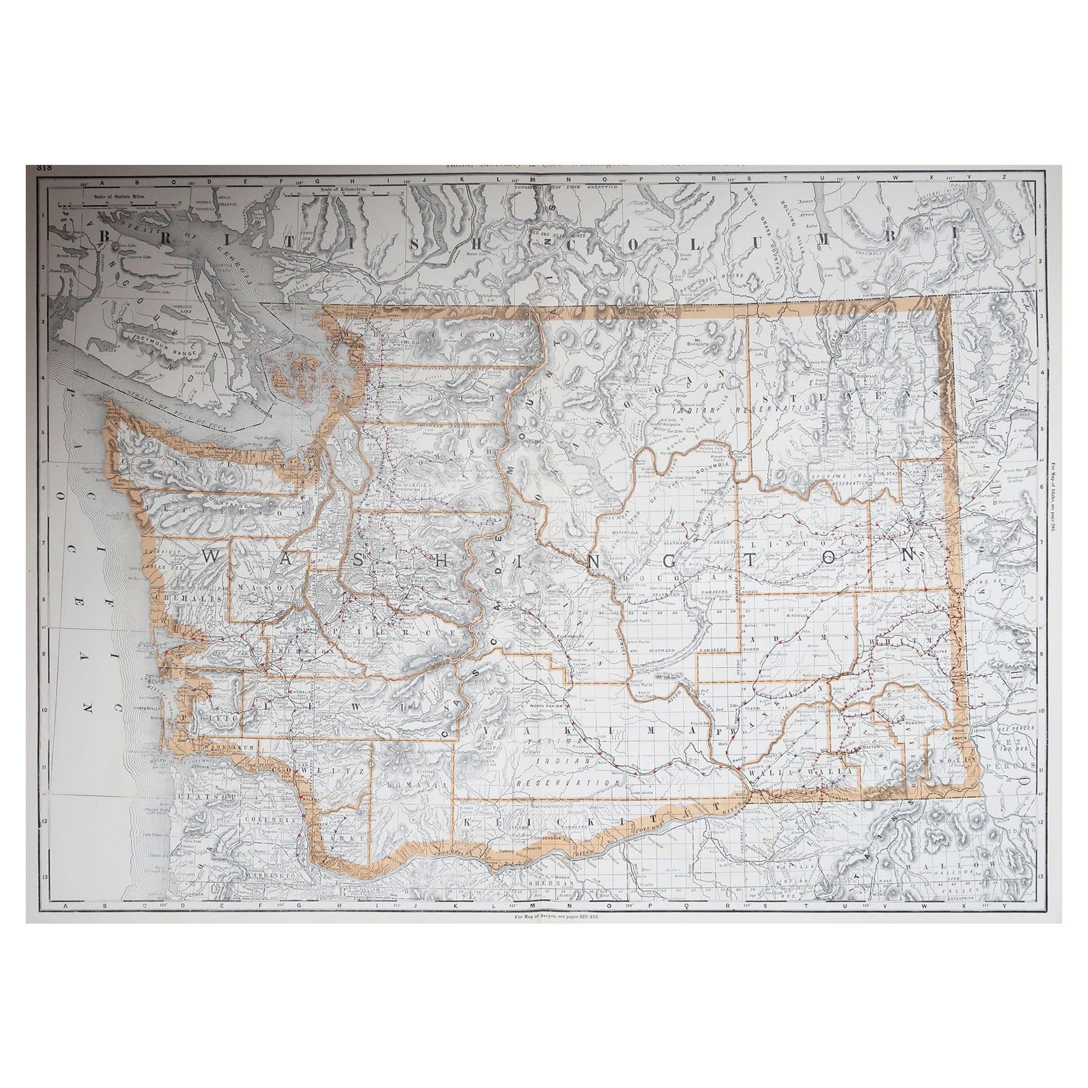
View AllOriginal Antique Map of the American State of Washington, 1889
Located in St Annes, Lancashire
Great map of Washington
Drawn and Engraved by W. & A.K. Johnston
Published By A & C Black, Edinburgh.
Original colour
Unframed.
Category
Antique 1880s Scottish Victorian Maps
Materials
Paper

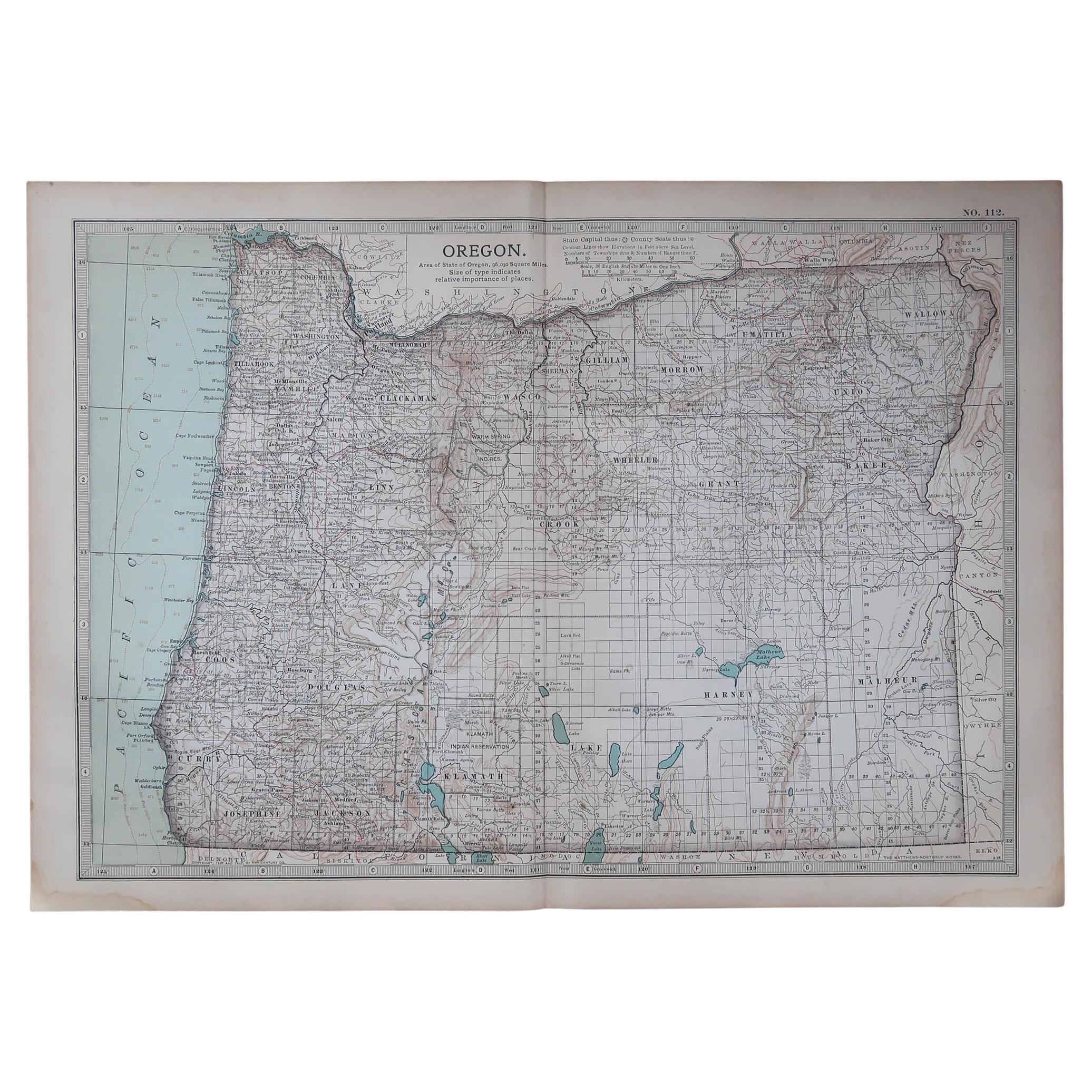
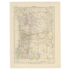
Original Antique Map of the American State of Oregon, 1903
Located in St Annes, Lancashire
Antique map of Oregon
Published By A & C Black. 1903
Original colour
Good condition
Unframed.
Free shipping
Category
Antique Early 1900s English Maps
Materials
Paper

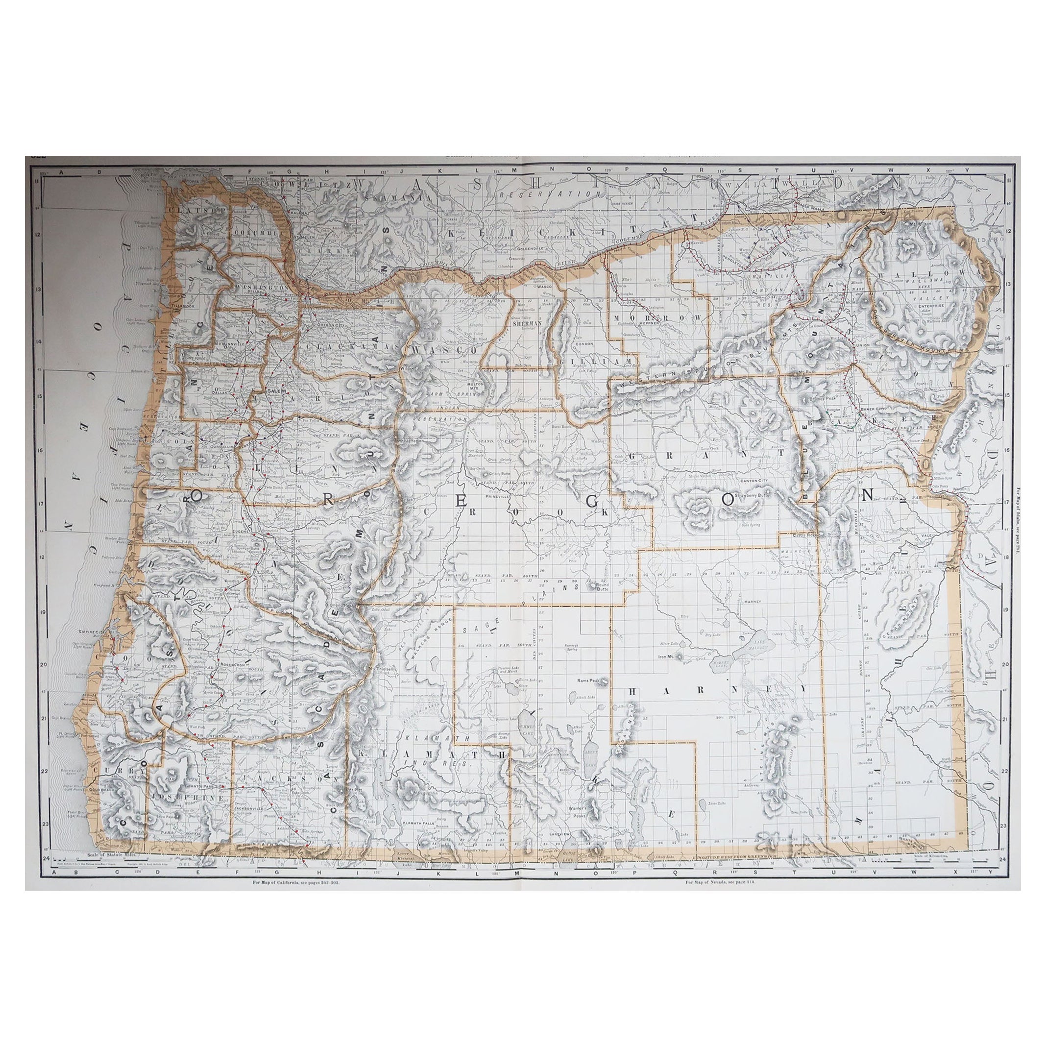
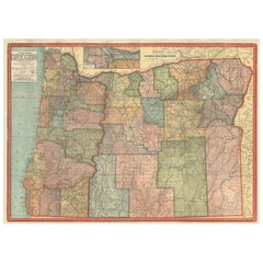
Large Original Antique Map of Oregon, USA, 1894
By Rand McNally
Co.
Located in St Annes, Lancashire
Fabulous map of Oregon.
Original color.
By Rand, McNally & Co.
Published, 1894.
Unframed.
Free shipping.
Category
Antique 1890s American Maps
Materials
Paper
Original Antique Map of the American State of Washington, 1903
Located in St Annes, Lancashire
Antique map of Washington
Published By A & C Black. 1903
Original colour
Good condition
Unframed.
Free shipping
Category
Antique Early 1900s English Maps
Materials
Paper

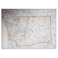
Large Original Antique Map of The State of Washington, USA, 1894
By Rand McNally
Co.
Located in St Annes, Lancashire
Fabulous map of Washington.
Original color.
By Rand, McNally & Co.
Published, 1894.
Unframed.
Free shipping.
Category
Antique 1890s American Maps
Materials
Paper
Original Antique Map of the American State of Idaho
Wyoming, 1903
Located in St Annes, Lancashire
Antique map of Idaho and Wyoming
Published By A & C Black. 1903
Original colour
Good condition
Unframed.
Free shipping
Category
Antique Early 1900s English Maps
Materials
Paper

You May Also Like
Antique Map of Oregon
Located in Langweer, NL
Antique map titled 'Oregon'. Original antique map of Oregon, United States. This print originates from 'Encyclopaedia Britannica', Ninth Edition. Publish...
Category
Antique Late 19th Century Maps
Materials
Paper
$276 Sale Price
20% Off
Colorful 1915 Road Map of Oregon with Portland Inset
Index – Geographical Pub.
Located in Langweer, NL
Colorful 1915 Road Map of Oregon with Portland Inset & Index – Geographical Pub.
Description:
This vibrant and information-rich folding map of Oregon, titled "Premier Series Oregon"...
Category
Vintage 1910s Maps
Materials
Paper
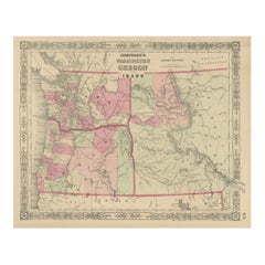
Washington Oregon Idaho Map – Johnson, Hand-Colored, c.1864
Located in Langweer, NL
Johnson’s Washington Oregon Idaho Map, USA c.1864 – Hand-Colored
This is a finely engraved and hand-colored map titled Johnson’s Washington, Oregon, and Idaho, published by Johnson ...
Category
Antique Mid-19th Century American Maps
Materials
Paper
Antique Map of the United States
North West
by Johnston,
1909
Located in Langweer, NL
Antique map titled 'United States of North America'. Original antique map of the United States of North America ( North West ). This map originates from the ‘Royal Atlas of Modern Ge...
Category
Early 20th Century Maps
Materials
Paper

$238 Sale Price
20% Off
1888 Antique Map of Oregon – Railroads, Counties
Native Indian Reservations
Located in Langweer, NL
Antique Map of Oregon – Railroads, Indian Reservations & Counties, 1888
This antique engraved map presents the state of Oregon in 1888, a time when the Pacific Northwest was rapidly...
Category
Antique Late 19th Century American Maps
Materials
Paper
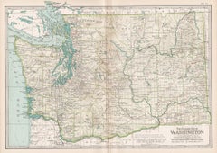
Washington. USA. Century Atlas state antique vintage map
Located in Melbourne, Victoria
'The Century Atlas. Washington'
Original antique map, 1903.
Central fold as issued. Map name and number printed on the reverse corners.
Sheet 29.5cm by 40cm.
Category
Early 20th Century Victorian More Prints
Materials
Lithograph
More Ways To Browse
Vintage World Map Mirror
Antique Furniture Toledo Ohio
Antique Maps Washington Dc
Blaeu World Map
Cape Cod Map
F Colton
Irish Antiques 16th Century
Ithaca Antique Map
Leonard Jones
Russia Globe
Salt Lake City Used Furniture
World Map Copper
Green French Glass
Mid Century Modern Style Room Screens
Mid Century Modern Wicker Chair
Mid-Century Modern Wicker Chairs
Curved Back Mid Century Dining Chairs
Glass Stopper