Items Similar to Original Antique Map of South Africa, Arrowsmith, 1820


Want more images or videos?
Request additional images or videos from the seller
1 of 6
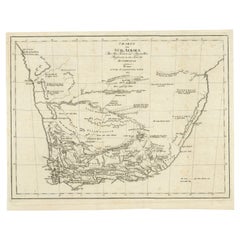
Original Antique Map of South Africa, Arrowsmith, 1820
$60
£45.72
€52.73
CA$85.22
A$91.56
CHF 49.12
MX$1,078.71
About the Item
Great map of South Africa.
Drawn under the direction of Arrowsmith.
Copper-plate engraving.
Published by Longman, Hurst, Rees, Orme and Brown, 1820
Unframed.
- Dimensions:Height: 10.5 in (26.67 cm)Width: 16 in (40.64 cm)Depth: 0.07 in (1.78 mm)
- Materials and Techniques:Paper,Other
- Place of Origin:
- Period:
- Date of Manufacture:1820
- Condition:Wear consistent with age and use.
- Seller Location:St Annes, GB
- Reference Number:1stDibs: LU1836331113322
About the Seller
4.9
Gold Seller
Premium sellers maintaining a 4.3+ rating and 24-hour response times
1stDibs seller since 2016
3,281 sales on 1stDibs
Typical response time: 1 hour
Associations
International Confederation of Art and Antique Dealers
Associations
- ShippingRetrieving quote...Shipping from: St Annes, United Kingdom
- Return Policy
More From This Seller
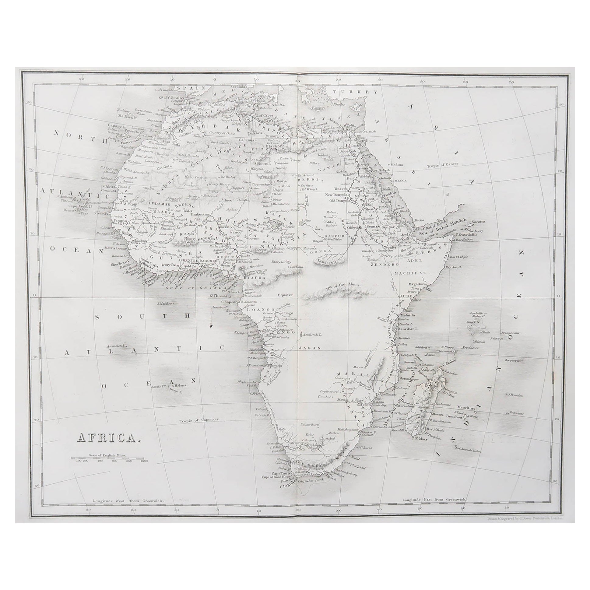
View AllOriginal Antique Map of Africa by Dower, circa 1835
Located in St Annes, Lancashire
Nice map of Africa
Drawn and engraved by J.Dower
Published by Orr & Smith. C.1835
Unframed.
Free shipping
Category
Antique 1830s English Maps
Materials
Paper

Large Original Vintage Map of South Africa, circa 1920
Located in St Annes, Lancashire
Great map of South Africa
Original color.
Good condition / repair to a minor edge tear middle bottom
Published by Alexander Gross
Unframed.
...
Category
Vintage 1920s English Edwardian Maps
Materials
Paper

Original Antique Map of The World by Dower, circa 1835
Located in St Annes, Lancashire
Nice map of the World
Drawn and engraved by J.Dower
Published by Orr & Smith. C.1835
Unframed.
Free shipping
Category
Antique 1830s English Maps
Materials
Paper

Original Antique Map of China, Arrowsmith, 1820
Located in St Annes, Lancashire
Great map of China
Drawn under the direction of Arrowsmith
Copper-plate engraving
Published by Longman, Hurst, Rees, Orme and Brown, 1820
Unfr...
Category
Antique 1820s English Maps
Materials
Paper

Original Antique Map of Australia by Dower, circa 1835
Located in St Annes, Lancashire
Nice map of Australia
Drawn and engraved by J.Dower
Published by Orr & Smith. C.1835
Unframed.
Free shipping
Category
Antique 1830s English Maps
Materials
Paper

Original Antique Map of Central America / Florida, Arrowsmith, 1820
Located in St Annes, Lancashire
Great map of Central America.
Drawn under the direction of Arrowsmith.
Copper-plate engraving.
Published by Longman, Hurst, Rees, Orme and Brown, 1820
Unframed.
Category
Antique 1820s English Maps
Materials
Paper

You May Also Like
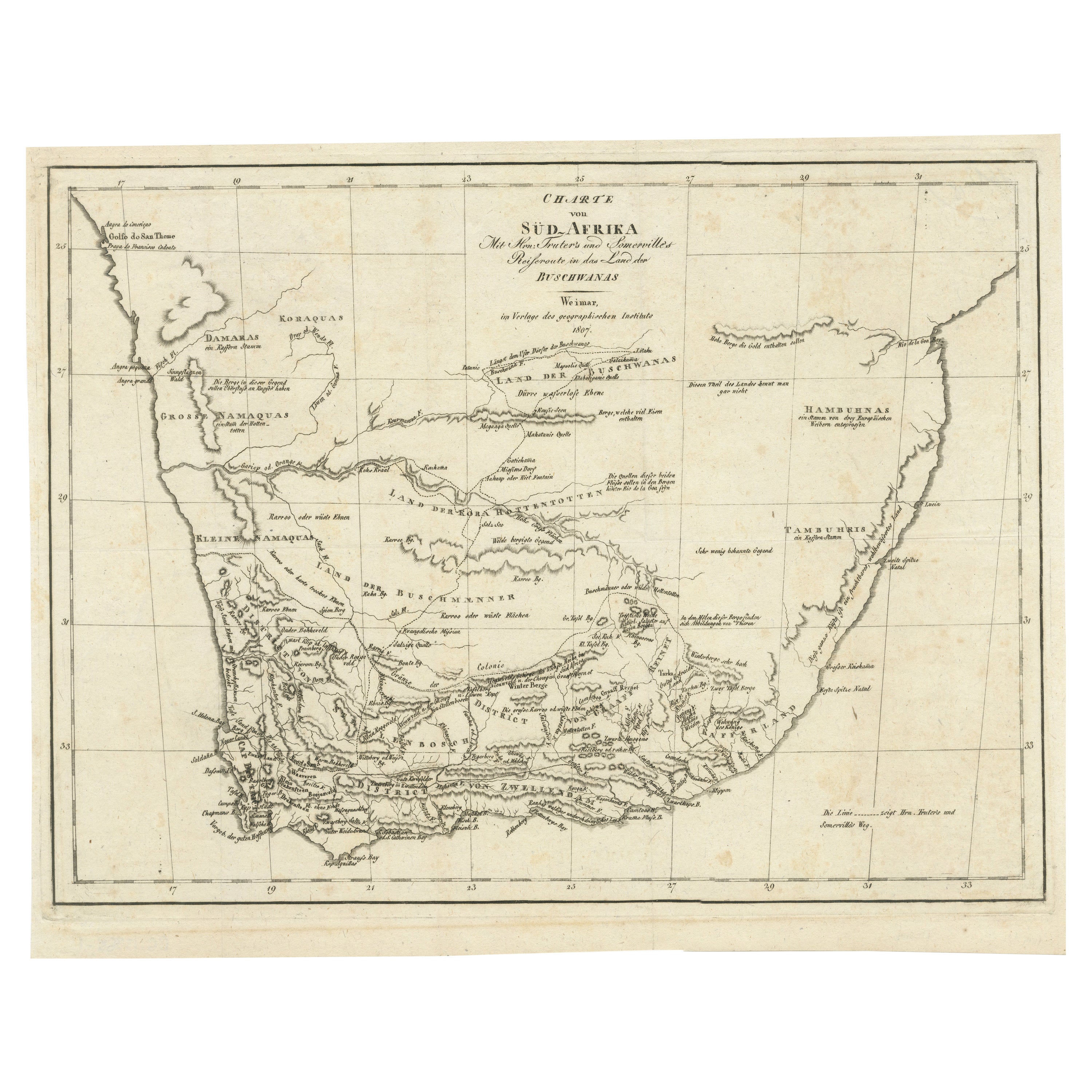
Antique Map of South Africa showing the Travels of Truter and Somerville
Located in Langweer, NL
Antique map titled 'Charte von Süd-Afrika'. Original antique map of South Africa showing the travels of Truter and Somerville. Published ci...
Category
Antique Early 19th Century Maps
Materials
Paper
$398 Sale Price
20% Off
Antique Map of South Africa by Wyld
1845
Located in Langweer, NL
Antique map titled 'South Africa'. Original antique map of South Africa.
This decorative original old map originates from 'An Atlas of th...
Category
Antique Mid-19th Century Maps
Materials
Paper

$189 Sale Price
20% Off
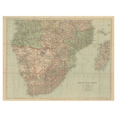
Antique Map of Southern Africa by Levasseur, 1875
Located in Langweer, NL
Antique map titled 'Afrique Méridionale'. Large map of Southern Africa. This map originates from 'Atlas de Géographie Moderne Physique et Politique' b...
Category
Antique Late 19th Century French Maps
Materials
Paper

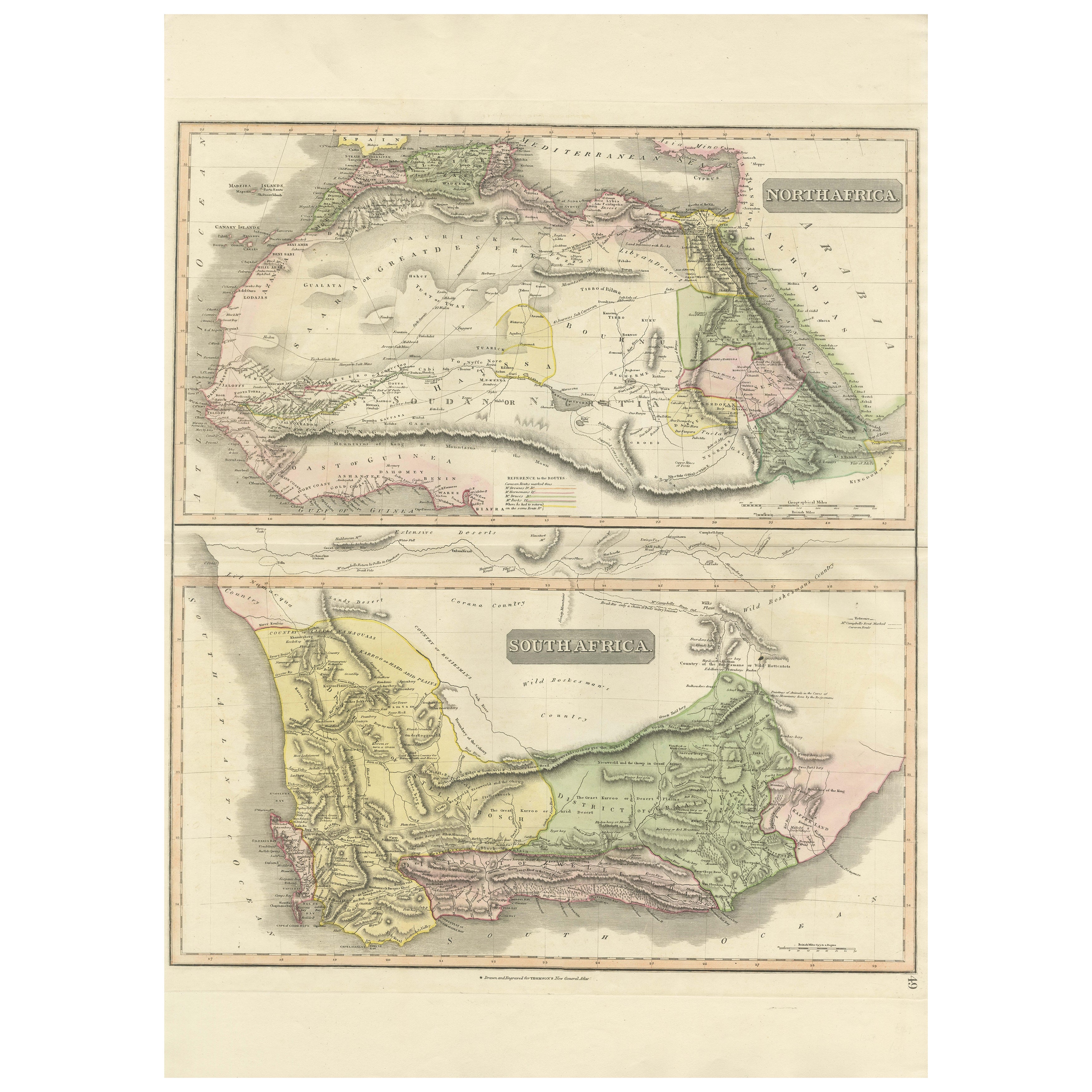
North
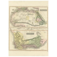
South Africa – Elegant Double Map, Hand-Colored, c.1825
Located in Langweer, NL
North & South Africa – Elegant Double Map, Hand-Colored, c.1825
This striking early 19th-century double map presents Africa in two complementary sections: North Africa above and Sou...
Category
Antique 1820s British Maps
Materials
Paper
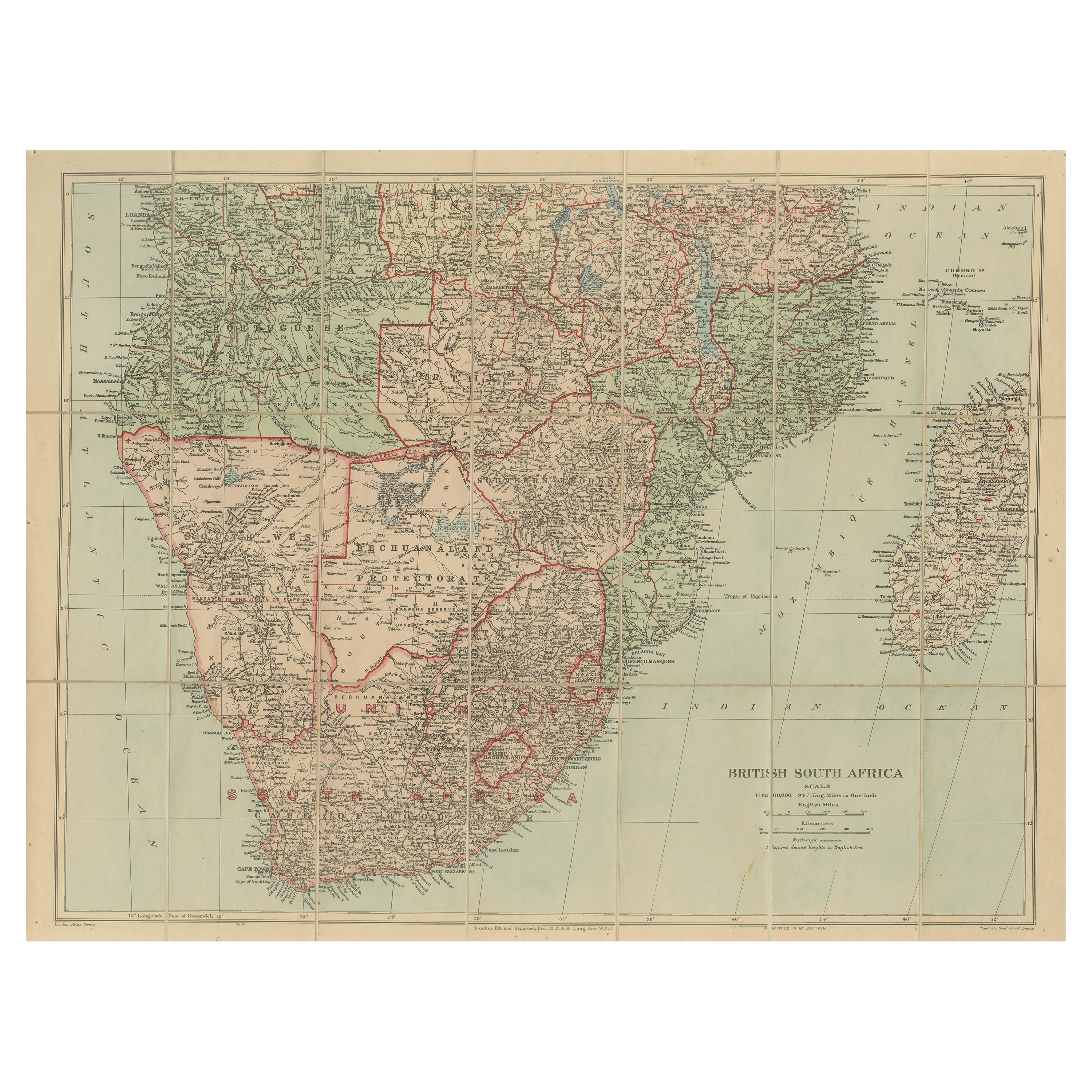
Antique Map of British South Africa – Colonial Territories
Railways, c.1920s
Located in Langweer, NL
Antique Map of British South Africa – Colonial Territories & Railways, c.1920s
This large and detailed folding map depicts British South Afric...
Category
Early 20th Century English Maps
Materials
Paper
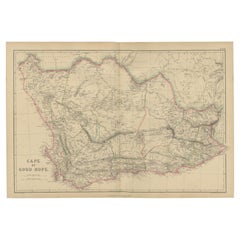
Antique Map of the Cape of Good Hope by W. G. Blackie, 1859
Located in Langweer, NL
Antique map titled 'Cape of Good Hope'. Original antique map of the Cape of Good Hope. This map originates from ‘The Imperial Atlas of Modern Geography’. Published by W. G. Blackie, ...
Category
Antique Mid-19th Century English Maps
Materials
Paper
More Ways To Browse
Antique South Africa
Coronelli Globe
Denoyer Geppert Anatomy
E Fletcher
Framed Africa Maps
Gabon Antique Map
Hudson River Map
Lancashire Map
Map Of Barbados
Nova Hollandia
Used Furniture Cleveland Ohio
Vintage Bartholomew Maps
1820 World Map
Aden Yemen
Antique Map New Orleans
Dakota Johnson
French School Map
L Tardieu