Items Similar to Rare Antique Wall-Map of North America: French and Indian War Boundaries, 1793


Want more images or videos?
Request additional images or videos from the seller
1 of 10
Rare Antique Wall-Map of North America: French and Indian War Boundaries, 1793
$5,784.47
$7,712.6225% Off
£4,318.38
£5,757.8425% Off
€4,875
€6,50025% Off
CA$8,036.37
CA$10,715.1625% Off
A$8,644.26
A$11,525.6925% Off
CHF 4,619.75
CHF 6,159.6625% Off
MX$101,891.25
MX$135,85525% Off
NOK 58,244.18
NOK 77,658.9025% Off
SEK 53,246.23
SEK 70,994.9725% Off
DKK 37,152.97
DKK 49,537.3025% Off
About the Item
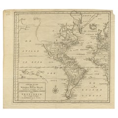
Rare 1793 Map of North America: French and Indian War Boundaries and Historical Notes
This remarkable engraved map of North America, printed in 1793 by Emanuel Bowen and John Gibson for Robert Sayer, captures the complex geopolitical landscape of the continent during the French and Indian War. The map is an extraordinary blend of artistry, cartographic precision, and historical commentary, offering a detailed depiction of British, French, and Spanish dominions. Spanning four joined sheets, it measures approx. an impressive 1033 x 1166 mm (image) and 1068 x 1281 mm (sheet), making it both a practical document of its time and a visually striking historical artifact.
Key features include a large figural cartouche, which adds an elegant artistic touch, and two inset maps: one of Baffin and Hudson's Bay and another of Fr. Kino's passage to California, illustrating contemporary knowledge and exploration. The map is rich in detail, showcasing boundaries, cities, towns, forts, missions, roads, trails, trade routes, portages, Indian villages, and tribal territories. It also highlights routes of navigation in the Gulf of Mexico and provides historical and descriptive notes that enrich the viewer's understanding of the geopolitical climate of the era.
This map is an essential piece for collectors and historians, reflecting not only the geographical understanding of the late 18th century but also the conflicts and territorial claims that defined the time. It is an excellent example of Bowen and Gibson’s dedication to cartographic accuracy and narrative detail.
Condition Report:
The map is in good condition for its age, with minor marginal stains that do not detract from its overall appearance. The engraving is clear, and the hand-coloring, where present, remains vibrant. The four sheets are expertly joined, maintaining structural integrity.
Framing and Matting Tips:
Due to its size and historical significance, professional conservation-grade framing is highly recommended. Use an acid-free mat and UV-protective glass to prevent fading and discoloration. A wide mat border will enhance the visual impact and protect the edges of the map. Choose a frame style that complements the historical aesthetic, such as a traditional wooden frame with a natural or gilded finish. This map would be an outstanding centerpiece in a study, library, or collection room.
- Dimensions:Height: 41.15 in (104.5 cm)Width: 47.25 in (120 cm)Depth: 0.01 in (0.2 mm)
- Materials and Techniques:Paper,Engraved
- Period:1790-1799
- Date of Manufacture:1793
- Condition:The map is in good condition for its age, with minor marginal stains that do not detract from its overall appearance. The engraving is clear, and the hand-coloring, where present, remains vibrant. The four sheets are expertly joined.
- Seller Location:Langweer, NL
- Reference Number:Seller: Plancius_011stDibs: LU3054343557672
About the Seller
5.0
Recognized Seller
These prestigious sellers are industry leaders and represent the highest echelon for item quality and design.
Platinum Seller
Premium sellers with a 4.7+ rating and 24-hour response times
Established in 2009
1stDibs seller since 2017
2,836 sales on 1stDibs
Typical response time: 1 hour
- ShippingRetrieving quote...Shipping from: Langweer, Netherlands
- Return Policy
More From This Seller
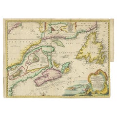
View AllAntique Map Dedicated to British Merchants Trading to North America, ca.1746
Located in Langweer, NL
Description: Antique map titled 'A New Chart of the Coast of New England, Nova Scotia, New France or Canada, with the islands of Newfoundland, Capte Breton, St John's (..)'. Map stre...
Category
Antique 1740s Maps
Materials
Paper
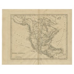
Antique Map of North America by Dufour
circa 1834
Located in Langweer, NL
Antique map titled 'Amérique Septentrionale'. Uncommon map of North America. Published by or after A.H. Dufour, circa 1834. Source unknown, to be determined.
Category
Antique Mid-19th Century Maps
Materials
Paper

Antique Map of North America, 1821
Located in Langweer, NL
Antique map of America titled 'Carte de l'Amerique septentrionale'. Scarce map of North America, shortly after the Louisiana Purchase and the first ...
Category
Antique 19th Century French Maps
Materials
Paper

$617 Sale Price
20% Off
Antique Map of the Americas and West Indies by Robert de Vaugondy, 1778
Located in Langweer, NL
Antique Map of the Americas and West Indies by Robert de Vaugondy, 1778
This detailed antique map titled "Amérique ou Indes Occidentales" was published in 1778 by the renowned Frenc...
Category
Antique Late 18th Century French Maps
Materials
Paper

$1,334 Sale Price
25% Off
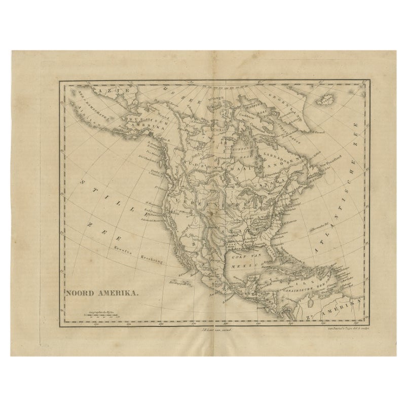
Antique Map of North America by Laarman, c.1860
Located in Langweer, NL
Antique map titled 'Noord Amerika'. Original antique map of North America. Published circa 1860. Artists and Engravers: Published by J.H. Laarman.
Artist: Published by J.H. Laarman.
...
Category
Antique 19th Century Maps
Materials
Paper
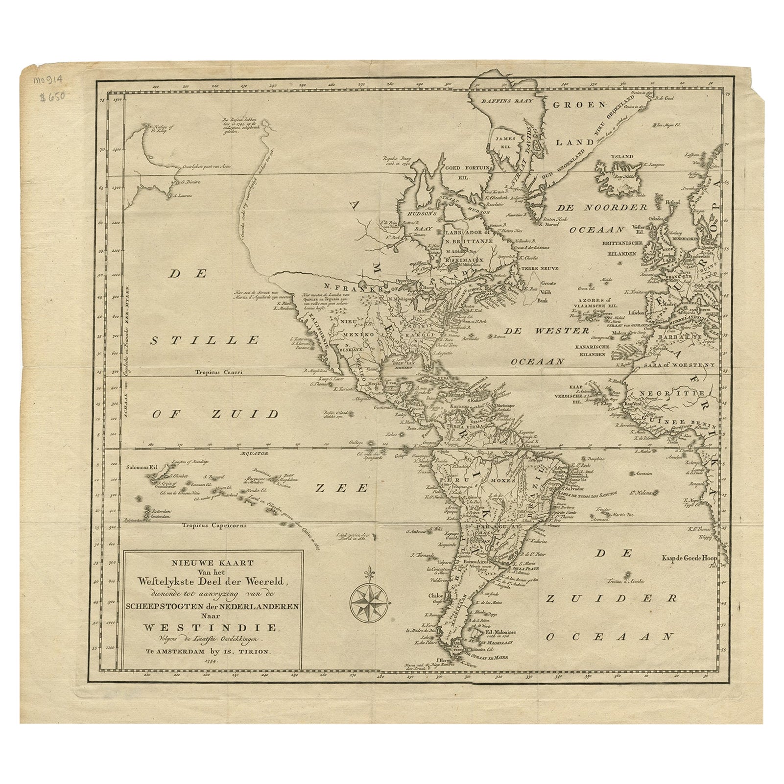
Excellent Antique Map of America with Unusual Northwest Coast of America, c.1754
Located in Langweer, NL
Description: Antique map titled 'Nieuwe Kaart Van het Westelykste Deel Der Weereld, dienende tot aanwyzing an de Scheepstogten der Nederlanderne Naar West Indie.' Excellent map of America, featuring an unusual northwest coast of America, which includes Martin d'Aguilar's strait which provides for a Northwest Passage via the Great Lakes. The rest of the NW coast...
Category
Antique 1750s Maps
Materials
Paper
You May Also Like
Early 19th Century Hand Coloured Map of North America by Aaron Arrowsmith
By Aaron Arrowsmith
Located in Hamilton, Ontario
Hand coloured map in French by English cartographer Aaron Arrowsmith (1750–1823) titled "Amerique Septentionale" (North America).
Map size: 9.5" x 8"
Mat size: 20.5" x 14.25".
Category
Antique Early 19th Century English Maps
Materials
Paper

$795 Sale Price
36% Off
1842 Wall Map of the United States by J. H. Young, Published by S. A. Mitchell
Located in Colorado Springs, CO
Presented is an 1842 hanging “Map of the United States,” engraved by J. H. Young and published by Samuel Augustus Mitchell, Philadelphia. This is a beautiful example of the rare 1842...
Category
Antique 1840s American Maps
Materials
Paper

Early 19th Century Hand Colored Map of the United States and Caribbean Islands
Located in Hamilton, Ontario
Hand coloured early 19th century map by Giraldon of France titled "Etats Unis et Grandes Antilles" (United States and Greater Antilles).
Category
Antique Early 19th Century French Maps
Materials
Paper

$595 Sale Price
40% Off
California, Alaska and Mexico: 18th Century Hand-Colored Map by de Vaugondy
By Didier Robert de Vaugondy
Located in Alamo, CA
This is an 18th century hand-colored map of the western portions of North America entitled "Carte de la Californie et des Pays Nord-Ouest separés de l'Asie par le détroit d'Anian, ex...
Category
Antique 1770s French Maps
Materials
Paper

1654 Joan Blaeu Map the Sutherland, Scotland, Entitled "Southerlandia, "Ric0007
Located in Norton, MA
1654 Joan Blaeu map of the
Sutherland, Scotland, entitled
"Southerlandia,"
Hand Colored
Ric0007
Description:
Lovely map centered on Sedan and D...
Category
Antique 17th Century Dutch Maps
Materials
Paper

English Engraved Hand Colored Map of the North Eastern United States, circa 1817
Located in Charleston, SC
English copper engraved hand colored map of the North Eastern United States matted under glass in a gilt frame, Early 19th Century. Drawn and Engraved for Thomson's New General Atlas...
Category
Antique 1810s English George III Maps
Materials
Glass, Giltwood, Paint, Paper

More Ways To Browse
Antique Hudson Bay
Couch Console
Sterling Silver Flatware Service For 12
Antique Dining Tables With Leaves
Decorative Wall Panels
Frank Lloyd Wright For Cassina
Natural Curved
Spanish Wool Rug
Leather Pouf And Ottomans
Low Side Tables
Set Of Four Italian Dining Chairs
Silk Runner Carpet
18th Century Blue And White Porcelain
3x5 Rugs
Italian Lacquer Dining Room Sets
Round Brass Table
Round Table Base
Antique Imari Porcelain