Items Similar to Relief Atlas Map of South America by Hachette – Antique French Map c.1883


Video Loading
Want more images or videos?
Request additional images or videos from the seller
1 of 11
Relief Atlas Map of South America by Hachette – Antique French Map c.1883
$465.92
£348.21
€390
CA$642.76
A$704.03
CHF 370.67
MX$8,402.32
NOK 4,723.85
SEK 4,318.31
DKK 2,972.64
About the Item
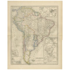
Antique Map of South America – Physical Relief Map by Hachette, c.1883
Description:
This antique map titled “Amérique du Sud” was published circa 1883 by Hachette in Paris as part of their educational “Atlas en relief.” It depicts the physical geography of South America, rendered with hypsometric colouring to indicate elevation ranges, from lowland plains to the high Andes.
The map shows the Andes Mountains running along the western coast with brown shading indicating their altitude. The Amazon basin, La Plata basin, Brazilian highlands, and Patagonian plateau are also clearly delineated. Major rivers such as the Amazon, Orinoco, and Paraná are prominently drawn, along with key cities and coastal features labelled in French. The inset at upper right compares the size of France to the continent, illustrating scale to French students.
This map was created to provide a clear overview of continental relief for academic use in schools and universities. It demonstrates the cartographic style of the late 19th century, with precise engraving and pastel colour application, produced by E. Hachette, Editeur, Rue Serpente, Paris.
Condition:
Good condition with original pastel colouring intact. Minor age-related toning in the wide margins and a few small foxing spots typical for maps of this period.
Framing tip:
This educational relief map of South America will display beautifully when float-mounted in a natural oak, black, or gold frame to highlight its subtle colours. Ideal for libraries, antique map collections, or classrooms focused on the geography and exploration history of South America.
- Dimensions:Height: 10.12 in (25.7 cm)Width: 12.84 in (32.6 cm)Depth: 0.01 in (0.2 mm)
- Materials and Techniques:
- Place of Origin:
- Period:
- Date of Manufacture:circa 1883
- Condition:Good condition with original pastel colouring intact. Minor age-related toning in the wide margins and a few small foxing spots typical for maps of this period.
- Seller Location:Langweer, NL
- Reference Number:Seller: BG-13384-331stDibs: LU3054345657952
About the Seller
5.0
Recognized Seller
These prestigious sellers are industry leaders and represent the highest echelon for item quality and design.
Platinum Seller
Premium sellers with a 4.7+ rating and 24-hour response times
Established in 2009
1stDibs seller since 2017
2,806 sales on 1stDibs
Typical response time: 1 hour
- ShippingRetrieving quote...Shipping from: Langweer, Netherlands
- Return Policy
More From This Seller
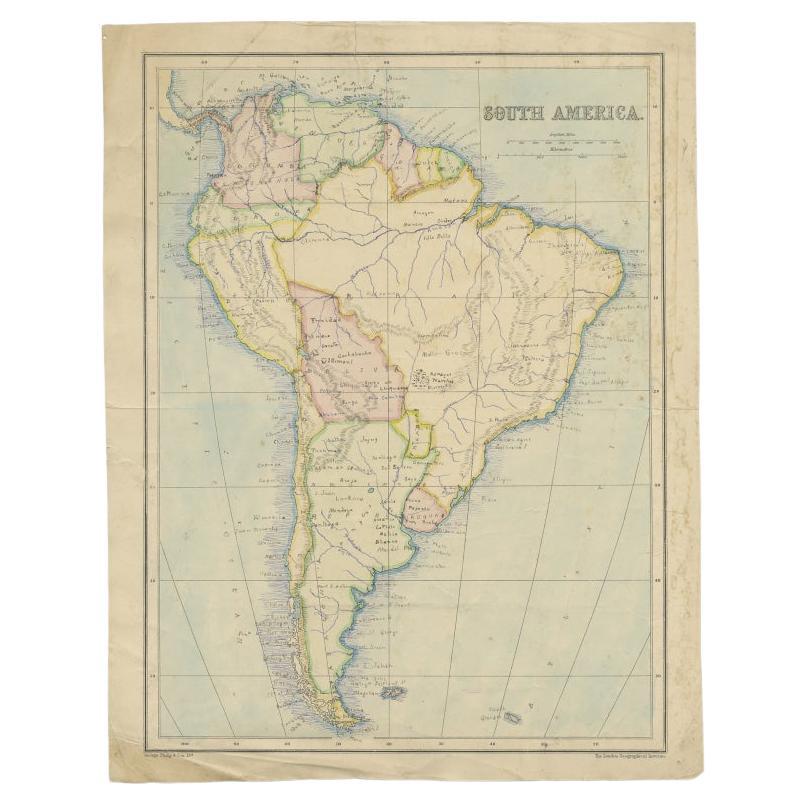
View AllAntique Map of South America by Philip
Son, 1875
Located in Langweer, NL
Antique map titled 'South America'. Old map of South America. Source unknown, to be determined.
Artists and Engravers: George Philip (1800–1882) was a cartographer, map publisher...
Category
Antique 19th Century Maps
Materials
Paper
$57 Sale Price
20% Off
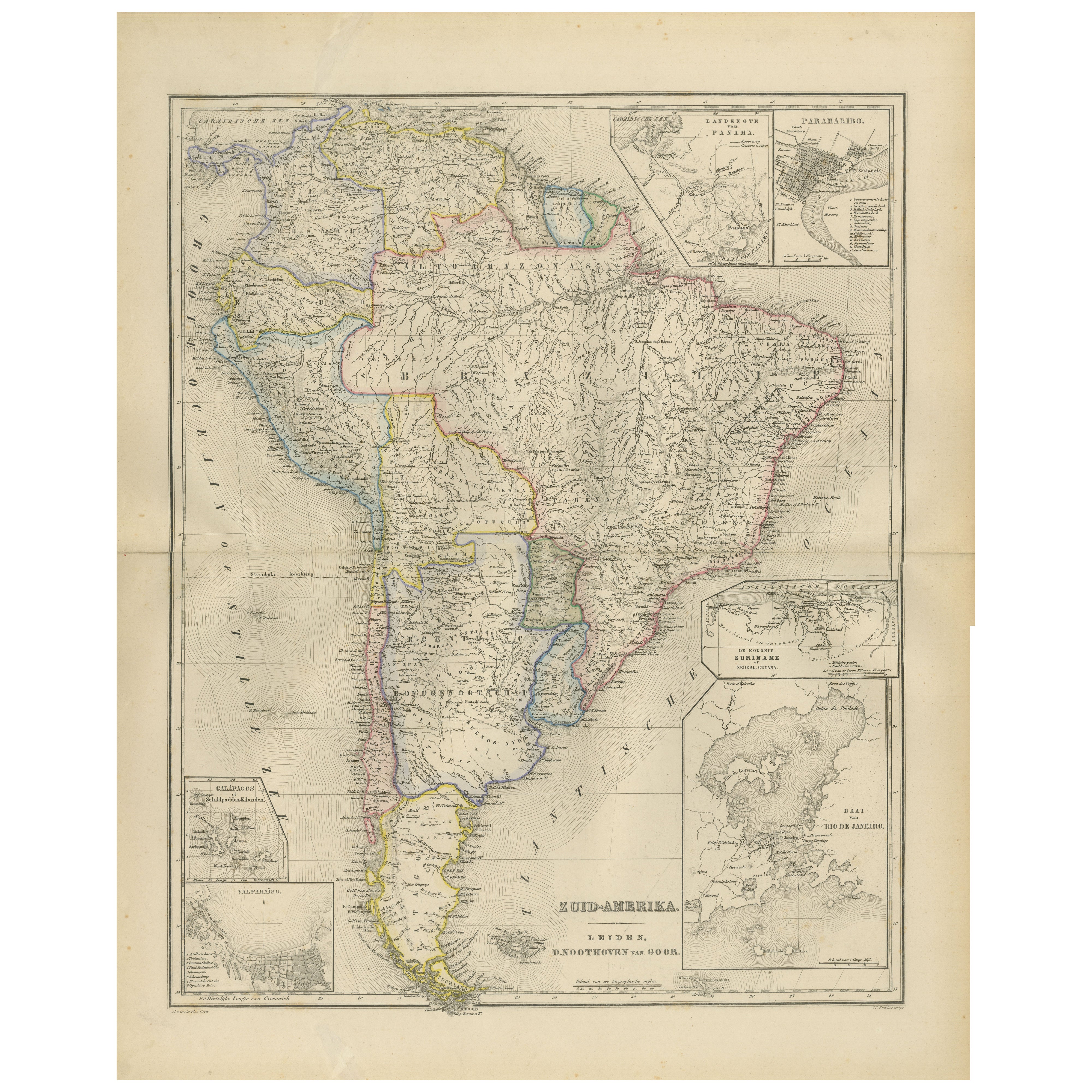
South America Map with Insets – Nieuwe Hand-Atlas, Noothoven van Goor, 1876
Located in Langweer, NL
South America Map with Insets – Nieuwe Hand-Atlas, Noothoven van Goor, 1876
This detailed 19th-century map titled “Zuid-Amerika,” published in Leiden by D. Noothoven van Goor for th...
Category
Antique 1870s Dutch Maps
Materials
Paper
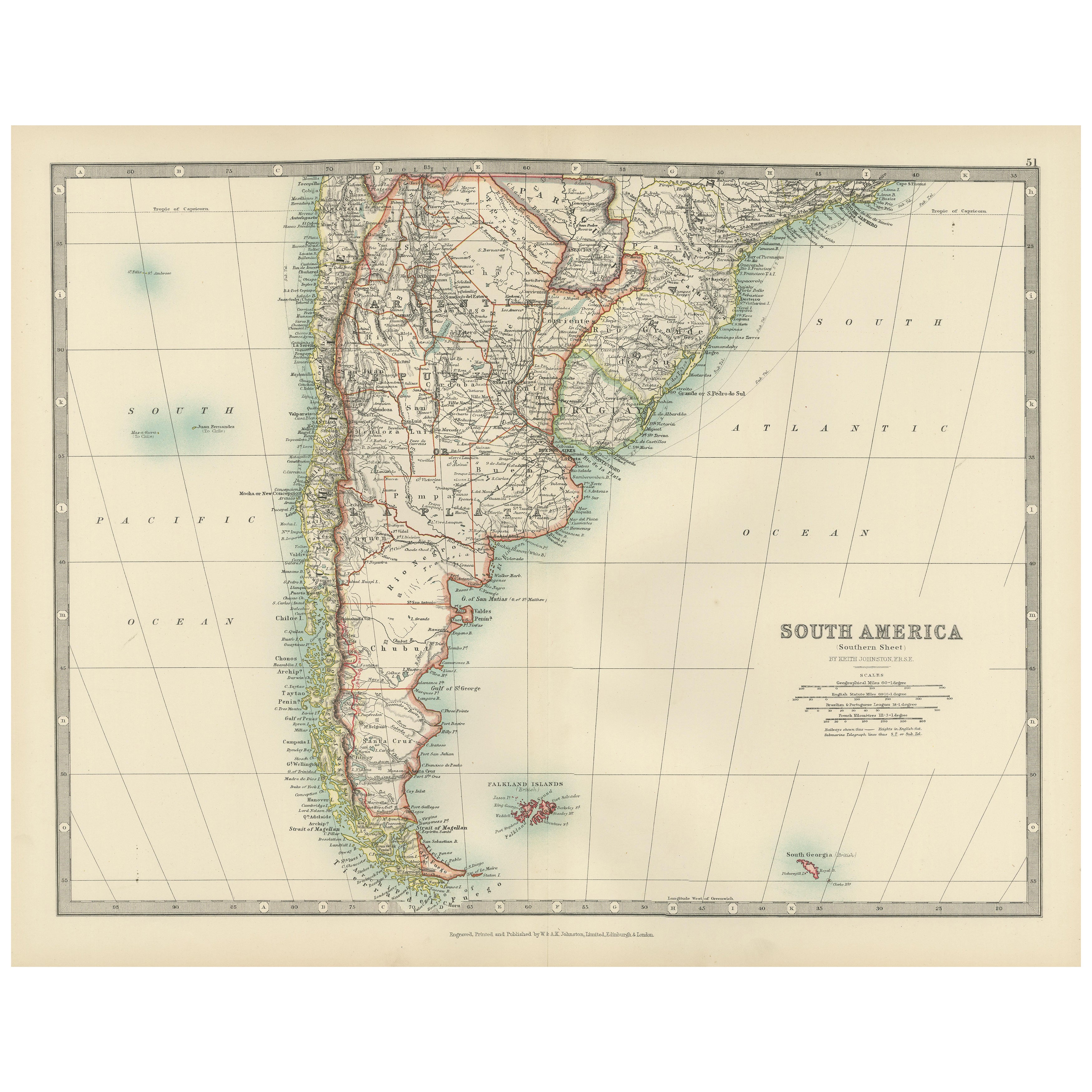
Map of Southern South America – Richly Detailed Engraving by K.Johnston, 1903
Located in Langweer, NL
Title (80 characters, keyword-first):
Map of Southern South America – Richly Detailed Engraving by Keith Johnston, 1903
Description:
This elegant map titled "South America: Southern...
Category
Early 20th Century Maps
Materials
Paper
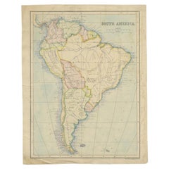
Antique Map of South America by A
C. Black, 1870
Located in Langweer, NL
Antique map titled 'South America'. Original antique map of Map of South America. This map originates from ‘Black's General Atlas of The World’. Published by A & C. Black, 1870.
Category
Antique Late 19th Century Maps
Materials
Paper

$262 Sale Price
20% Off
Antique Map of South America, c.1840
Located in Langweer, NL
Antique map titled 'South America'. Original, antique map depicting South America. With outline coloring. Source unknown, to be determined. Artists and Engravers: Anonymous.
Artist:...
Category
Antique 19th Century Maps
Materials
Paper

$69 Sale Price
20% Off
Antique Map of South America by Dower, ‘circa 1845’
Located in Langweer, NL
Antique map titled 'South America'. Old map of South America. Published by Orr & Company, Amen Corner, Paternoster Row, London.
Category
Antique Mid-19th Century Maps
Materials
Paper

You May Also Like
South America, Eastern Part. Century Atlas antique vintage map
Located in Melbourne, Victoria
'The Century Atlas. South America. Eastern Part'
Original antique map, 1903.
Inset map 'Rio de Janeiro and Vicinity'.
Central fold as issued. Map name and number printed on the rev...
Category
Early 20th Century Victorian More Prints
Materials
Lithograph

South America, North-West Part. Century Atlas antique vintage map
Located in Melbourne, Victoria
'The Century Atlas. South America, North-West Part'
Original antique map, 1903.
Central fold as issued. Map name and number printed on the reverse corners.
Sheet 40cm by 29.5cm.
Category
Early 20th Century Victorian More Prints
Materials
Lithograph

Carte du Bresil, antique 1860s engraved map of Brazil
Located in Melbourne, Victoria
'Carte du Bresil'
Engraving with original outline colouring, circa 1860, by Alexandre Vuillemin, published in Paris.
31cm by 41cm (sheet)
21.5cm by 31.5cm (image)
Category
Late 19th Century Victorian More Prints
Materials
Lithograph

Charte von Sud-America (Map of South America) - Etching with Hand-Drawn Outlines
Located in Soquel, CA
Map of south America, engraved by Franz Pluth (Czech, 1800-1871), from the book "Neueste Länder - und Völkerkunde, ein geographisches Lesebuch für alle Stände" by Linder, F. L. (Prag...
Category
1820s Other Art Style More Prints
Materials
Paper, Printer s Ink, Etching

Original Antique Map of The Western Hemisphere by Dower, circa 1835
Located in St Annes, Lancashire
Nice map of the Western Hemisphere
Drawn and engraved by J.Dower
Published by Orr & Smith. C.1835
Unframed.
Free shipping
Category
Antique 1830s English Maps
Materials
Paper

Original Antique Decorative Map of South America-West Coast, Fullarton, C.1870
Located in St Annes, Lancashire
Great map of Chili, Peru and part of Bolivia
Wonderful figural border
From the celebrated Royal Illustrated Atlas
Lithograph. Original color.
Published by Fullarton, Edi...
Category
Antique 1870s Scottish Maps
Materials
Paper

More Ways To Browse
Framed Relief
French Relief
Library Collection
Antique Victorian Dining Tables
Italian Plastic Chairs
Black Crystal Glasses
French Mid Century Modern Rug
China Silk Rug
Chrome Glass Coffee Tables
Antique Italian Chairs
Antique Walnut Bar
Beni Ourain Rugs
French Iron And Glass Table
Glass Top Wood Base Coffee Tables
T Chair
Antique Silver Basket
Antique Walkers
Ebony Wood Furniture