Items Similar to Roman Balkans: Pannonia, Illyricum, Dacia, Moesia, Thracia, Macedonia, etc. 1880
Want more images or videos?
Request additional images or videos from the seller
1 of 10
Roman Balkans: Pannonia, Illyricum, Dacia, Moesia, Thracia, Macedonia, etc. 1880
$478.66
£357.51
€400
CA$659.44
A$718.67
CHF 380.57
MX$8,631.99
NOK 4,818.07
SEK 4,429.74
DKK 3,047.31
About the Item
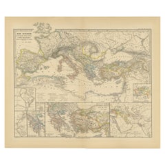
This original antique map showcases the Roman provinces in the Balkan region and parts of Central and Eastern Europe. The title "PANNONIA, ILLYRICUM DACIA, MOESIA, THRACIA, MACEDONIA, EPIRYS." indicates that the map focuses on these specific ancient Roman provinces.
Features of the map include:
1. Provincial Boundaries: Different colors seem to delineate the borders of each province, such as Pannonia, Illyricum, Dacia, Moesia, Thracia, Macedonia, and Epirus.
2. Geographical Features: The map is topographically rich, showing mountain ranges, river systems, and the coastline of the Adriatic Sea. The Danube River, an important geographical feature in several of these provinces, is prominently displayed.
3. Cities and Settlements: Various dots and symbols mark the location of cities, forts, and settlements, with some of the major ones possibly labeled with names that would have been used during the Roman era.
4. Road Networks: Lines that crisscross the provinces may represent the extensive network of Roman roads, which were vital for military movement, trade, and administration.
5. Insets: There is at least one inset map labeled "ACHAIA," which suggests a more detailed focus on this particular region, perhaps highlighting its significance or providing additional detail that could not be captured in the main map's scale.
6. Grid and Scale: A grid overlay indicates longitudinal and latitudinal lines, and there's likely a scale bar that helps to understand distances in the context of the map.
7. Latin Text: The map uses Latin, reflecting the language of the Roman Empire and contributing to its historical authenticity.
8. Legend: A legend is included, probably explaining the symbols and color codes used throughout the map.
This map would serve as a detailed educational resource for understanding the Roman Empire's territorial extent and administrative divisions in the Balkan region. It provides a visual understanding of how the Romans organized and controlled these lands, as well as the geographic challenges and features of the area.
The map is from the atlas, the "Spruner-Menke Atlas Antiquus," which was published in the late 19th century, specifically around 1880. The atlas is known for its detailed historical maps of different periods.
The period depicted on the map itself would be during the Roman Empire, although without specific dates given, it's hard to determine the exact timeframe. The provinces listed — Pannonia, Illyricum, Dacia, Moesia, Thracia, Macedonia, and Epirus — were part of the Roman Empire from the 1st century BC through to the early centuries AD.
The story behind these provinces is one of Roman expansion and administration. Pannonia and Illyricum were regions known for their military significance, often serving as the breeding ground for Roman soldiers and officers, including some emperors. Dacia, modern-day Romania, was conquered by Emperor Trajan and is famous for the rich gold mines that Rome exploited. Moesia, Thracia, and Macedonia were important for their strategic locations and served as vital corridors for troops moving to and from various parts of the Empire. Epirus was known in ancient times as a culturally and historically rich region, home to the oracle of Dodona.
This map likely illustrates the Roman Empire's reach into the Balkans and its geographic and political divisions during its height, showcasing the complexity of its provincial boundaries and the infrastructure that facilitated Roman control and integration of these diverse regions into its vast dominion.
- Dimensions:Height: 15.56 in (39.5 cm)Width: 18.51 in (47 cm)Depth: 0.01 in (0.2 mm)
- Materials and Techniques:
- Place of Origin:
- Period:
- Date of Manufacture:1880
- Condition:Good, given age. General age-related toning, especially around the edges. Vertical folding line as issued. Please study scan carefully.
- Seller Location:Langweer, NL
- Reference Number:Seller: BG-13686-2-71stDibs: LU3054338537592
About the Seller
5.0
Recognized Seller
These prestigious sellers are industry leaders and represent the highest echelon for item quality and design.
Platinum Seller
Premium sellers with a 4.7+ rating and 24-hour response times
Established in 2009
1stDibs seller since 2017
2,786 sales on 1stDibs
Typical response time: <1 hour
- ShippingRetrieving quote...Shipping from: Langweer, Netherlands
- Return Policy
More From This Seller
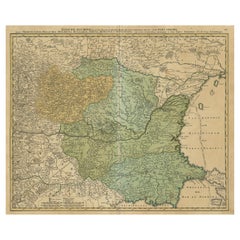
View AllDanube River Incl Serbia, Moldavia, Transylvania, Romania, Bulgaria Etc, ca.1720
Located in Langweer, NL
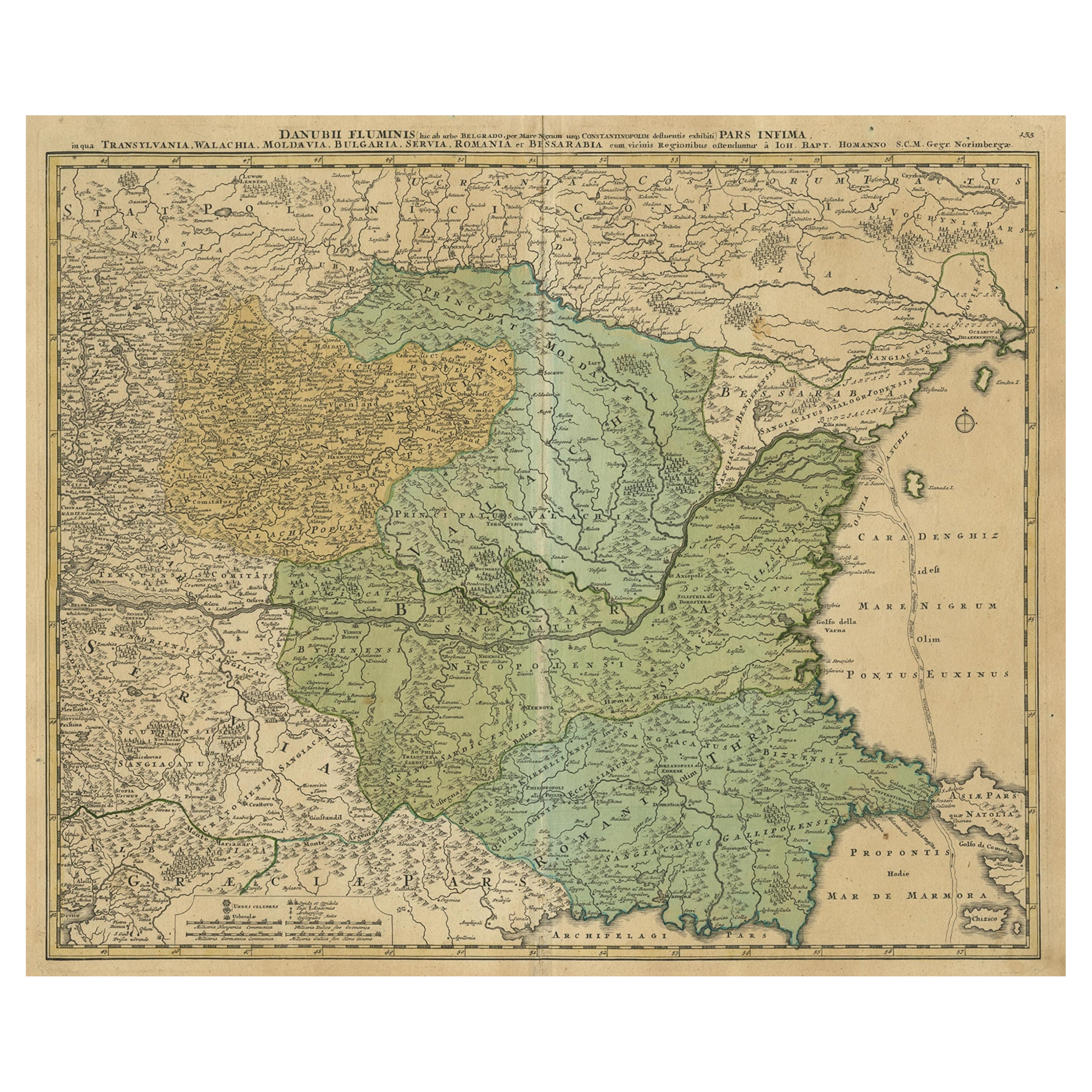
Antique map titled 'Danubii Fluminis (..)'.
Regional map of the Donau river, Shows the Danube river from Belgrade in Serbia, along the border between ...
Category
Antique 1720s Maps
Materials
Paper
$885 Sale Price
20% Off
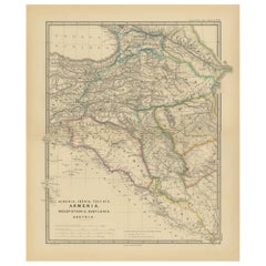
Ancient Crossroads: Albania to Assyria in Antiquity, Published in 1880
Located in Langweer, NL
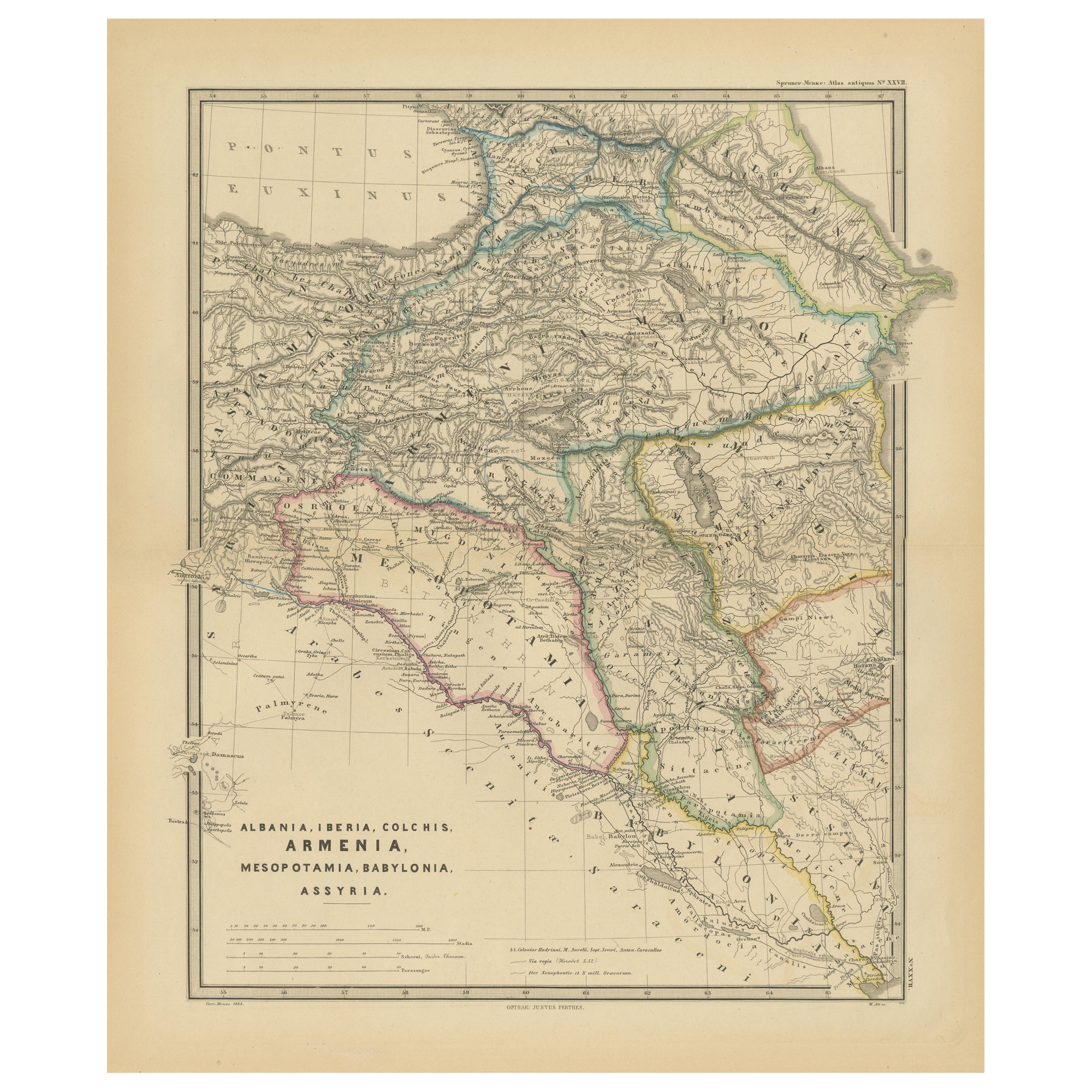
The map titled "ALBANIA, IBERIA, COLCHIS, ARMENIA, MESOPOTAMIA, BABYLONIA, ASSYRIA" portrays the ancient regions that would encompass parts of modern-day Eastern Turkey, Armenia, Aze...
Category
Antique 1880s Maps
Materials
Paper
Mediterranean Encounters: From the Punic Wars to the Hannibalic War, 1880
Located in Langweer, NL
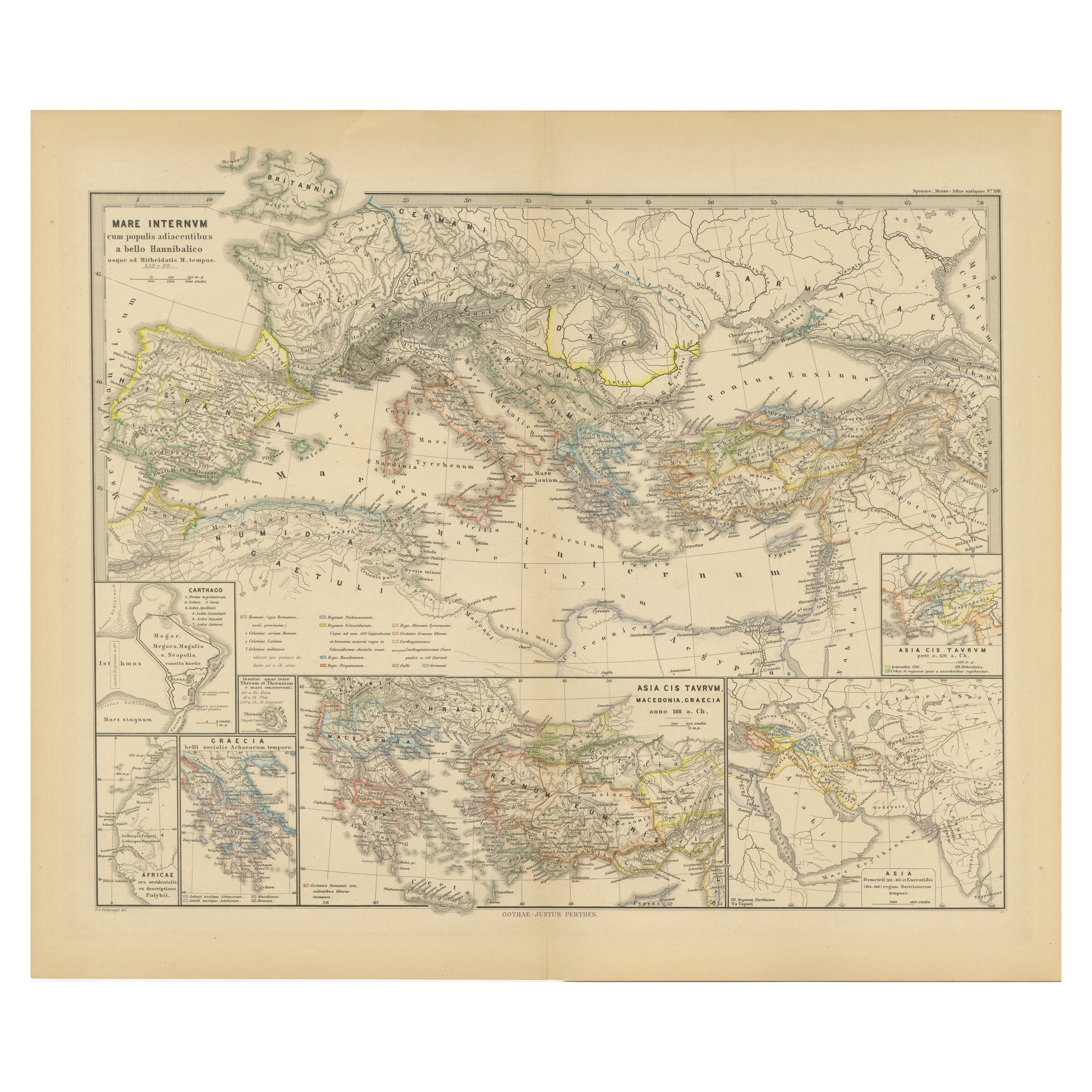
The map, with the title "MARE INTERNUM cum populis adiacentibus a bello Hannibalico usque ad Vespasiani M. princip," depicts the Mediterranean Sea and its surrounding territories, ex...
Category
Antique 1880s Maps
Materials
Paper
$354 Sale Price
20% Off
Free Shipping
Antique Map of the Eastern Mediterranean and the Balkans
Located in Langweer, NL
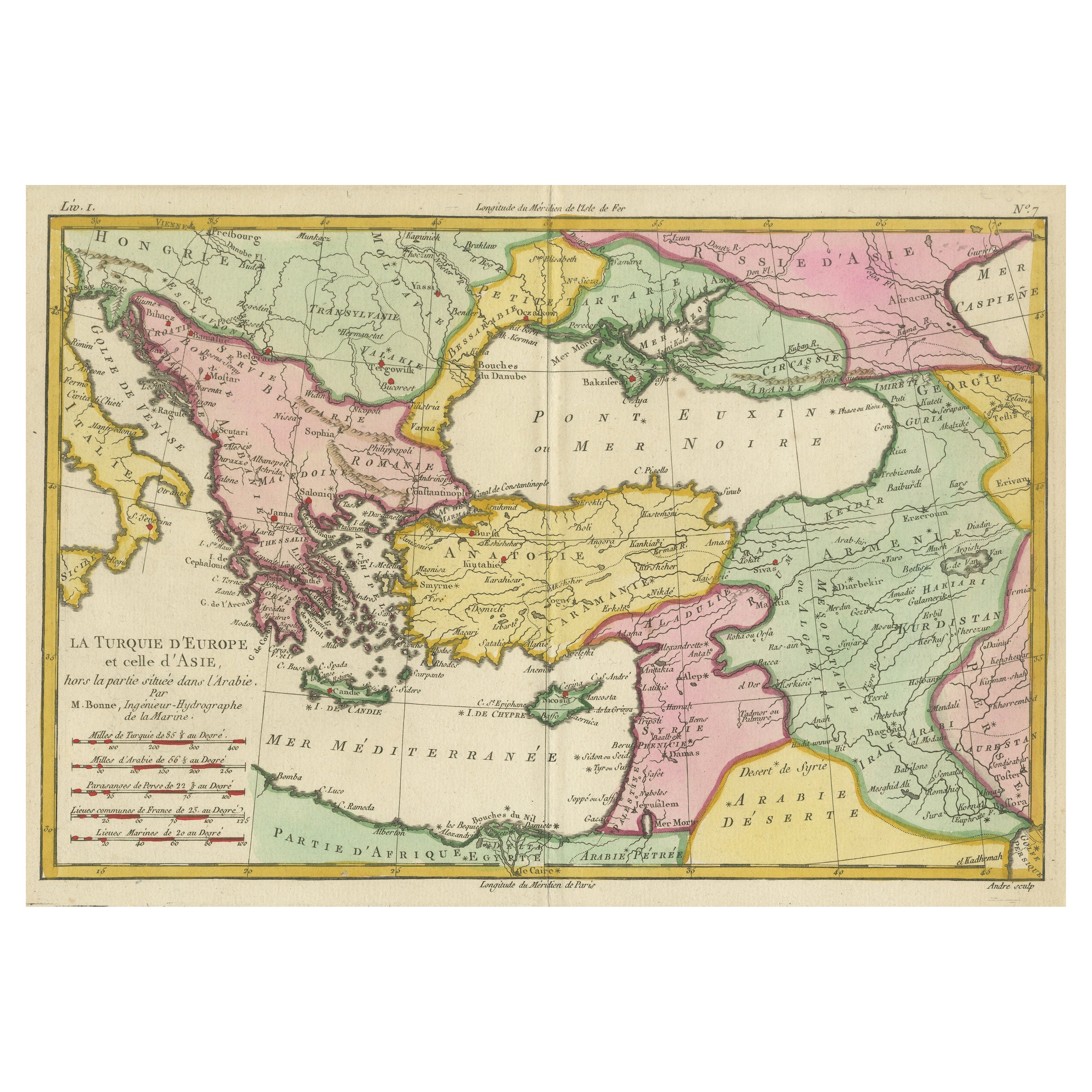
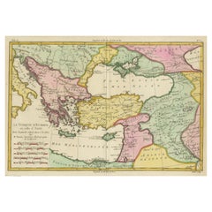
Antique map titled 'La Turquie d'Europe et celle d'Asie'. Attractive double page map of the Eastern Mediterranean and the Balkans by R. Bonne. Originates from 'Atlas de Toutes les Pa...
Category
Antique Late 18th Century Maps
Materials
Paper
$516 Sale Price
20% Off
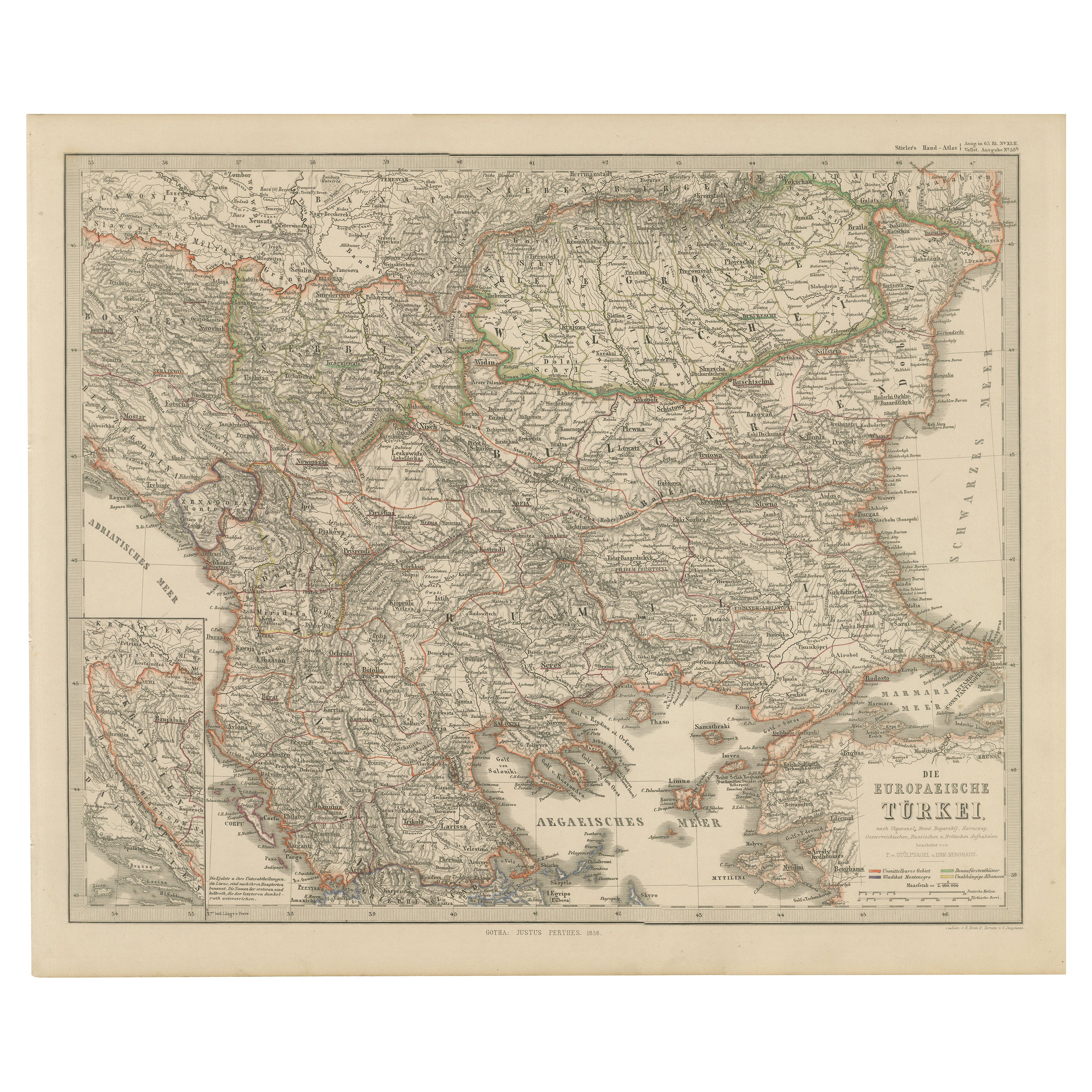
European Turkey Map – Detailed Balkan Ottoman Provinces 1858
Located in Langweer, NL
European Turkey and Greece Map – Balkans and Ionian Islands 1857
This detailed antique print shows “Die Europäische Türkei, Griechenland und die Ionische...
Category
Antique Mid-19th Century German Maps
Materials
Paper

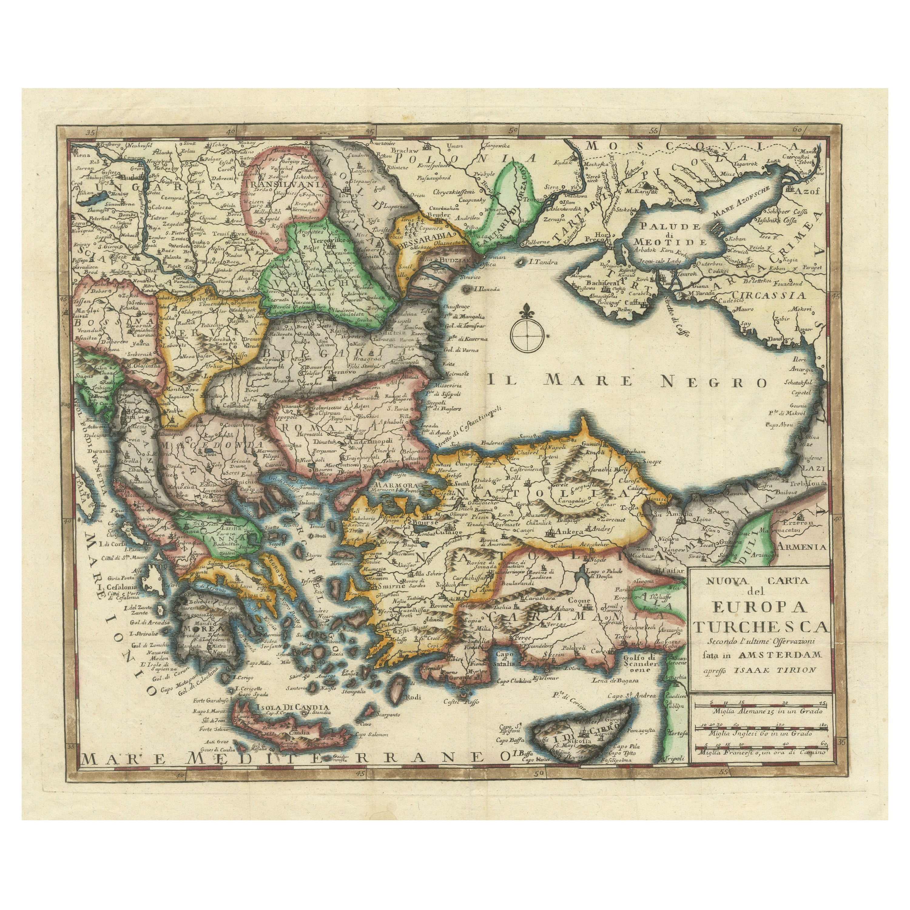
Detailed Antique Map of the Black Sea, Balkans and Asia Minor
Located in Langweer, NL
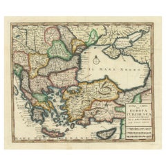
Antique map titled 'Nuova Carta del Europa Turchesca (..)'. This is an Italian version of Tirion's detailed map of the Black Sea, Balkans, and Asia Minor. It is embellished with a si...
Category
Antique Mid-18th Century Maps
Materials
Paper
$555 Sale Price
20% Off
You May Also Like
17th Century Nicolas Visscher Map of Southeastern Europe
Located in Hamilton, Ontario
A beautiful, highly detailed map of southeastern Europe by Nicolas Visscher. Includes regions of Northern Italy (showing the cities Bologna, Padua, and Venice), Bohemia, Austria (sho...
Category
Antique 17th Century Dutch Maps
Materials
Paper

$1,350 Sale Price
38% Off
Map of Eastern Roman Empire -Vintage Offset Print - Early 20th Century
Located in Roma, IT
This map of Eastern Roman Empire is a vintage offset print realized in the early 20th Century.
The state of preservation of the artwork is aged with dif...
Category
Early 20th Century Figurative Prints
Materials
Offset

Ancient National Atlas of France with Marengo
Located in Alessandria, Piemonte
Ancient National Atlas of France with the department of Marengo: a rare French etching dated 1806.
ST/178.
Category
Antique Early 19th Century French Other Prints
Materials
Paper

18th Century Map of the Southern Balkans by Giovanni Maria Cassini
By Giovanni Maria Cassini
Located in Hamilton, Ontario
18th century map by Italian engraver Giovanni Maria Cassini (Italy 1745-1824).
Map of the Southern Balkans: Rome. Hand colored and copper engraved print done in the year 1788. It in...
Category
Antique 18th Century Italian Maps
Materials
Paper

$795 Sale Price
36% Off
1870 "Johnson
s Europe" Map Published by A. J. Johnson
Located in Colorado Springs, CO
Presented is an original 1870 "Johnson’s Europe" map. First published in 1864, this map was issued as pages 87 and 88 in the 1870 edition of “Johnson's New Illustrated (Steel Plate) ...
Category
Antique 1870s American Victorian Maps
Materials
Paper

1849 Map of "Europaische Russland",
Meyer Map of European Russia
, Ric. R017
Located in Norton, MA
1849 Map of
"Europaische Russland"
( Meyer Map of European Russia)
Ric.r017
A lovely map of European Russia dating to 1849 by Joseph Meyer. It covers the European portions of...
Category
Antique 19th Century Unknown Maps
Materials
Paper

More Ways To Browse
19th Century Round Dining Table
Carved Chinese Tables
Mid Century Modern Danish Teak Dining Tables
Long Rug Runners
Pair Arm Chairs
Sterling Silver Dinner Sets
United Chair Company
British Antiques
Italian Beech Chairs
Shirvan Rugs
Spain Marble
Vintage Brown Bottles
Vintage Danish Tables And Chairs
1960s Glass Top Coffee Table
Black Glass Coffee Tables
Burnt Wood
Mid Century Wrought Iron Chairs
Earth Toned Rug