Items Similar to Southern Africa
Madagascar Antique Map – Beautiful 1857 Edition

Video Loading
Want more images or videos?
Request additional images or videos from the seller
1 of 13
Southern Africa
Madagascar Antique Map – Beautiful 1857 Edition
$443.98
£329.02
€370
CA$606.80
A$660.55
CHF 350.62
MX$7,947.81
NOK 4,442.82
SEK 4,070.88
DKK 2,818.40
About the Item
Southern Africa and Madagascar Map 1857
This detailed antique print shows “Süd-Africa mit Madagascar” meaning “Southern Africa with Madagascar,” published in 1857 by Justus Perthes in Gotha as part of Adolf Stieler’s renowned Hand-Atlas. The map was drawn and engraved under the direction of F. v. Stülpnagel.
It covers Southern Africa from Angola and Mozambique down to the Cape of Good Hope, including territories such as Cape Colony, Natal, and the Orange Free State. Tribal regions, colonial territories, rivers, and mountain ranges are clearly shown, alongside towns such as Cape Town, Port Elizabeth, Durban, and Lourenço Marques (Maputo). The large island of Madagascar is depicted in detail, with its mountain ranges and coastal settlements marked.
This map is significant for its depiction of Southern Africa during a period of expanding European colonial interest and pre-Scramble for Africa exploration. It shows early Boer settlements, Portuguese colonial holdings in Mozambique and Angola, and outlines tribal regions prior to the formal partitioning of Africa in the later 19th century. Madagascar is presented with German-named features and detailed coastlines reflecting European geographical knowledge of the era.
Technique: Copperplate engraving with original hand colouring used to delineate territorial boundaries and regions with clarity. German titles and detailed annotations are engraved with precision, typical of Stieler’s cartographic excellence.
Condition summary: Excellent condition with strong impression, minimal age toning, and no tears, repairs, or significant foxing. Colours remain vivid and paper is firm and stable.
Framing tips: This Southern Africa and Madagascar map will display beautifully in a dark wood or black frame to enhance its historical and geographical presence. Pair with a wide ivory or cream mount to balance its intricate composition and highlight fine engraved details. UV-protective glass is recommended to preserve the engraving lines and original colouring for long-term display.
- Dimensions:Height: 14.77 in (37.5 cm)Width: 17.88 in (45.4 cm)Depth: 0.01 in (0.2 mm)
- Materials and Techniques:Paper,Engraved
- Place of Origin:
- Period:
- Date of Manufacture:1857
- Condition:Condition summary: Excellent condition with strong impression, minimal age toning, and no tears, repairs, or significant foxing. Colours remain vivid and paper is firm and stable.
- Seller Location:Langweer, NL
- Reference Number:Seller: BG-05552-501stDibs: LU3054345814002
About the Seller
5.0
Recognized Seller
These prestigious sellers are industry leaders and represent the highest echelon for item quality and design.
Platinum Seller
Premium sellers with a 4.7+ rating and 24-hour response times
Established in 2009
1stDibs seller since 2017
2,819 sales on 1stDibs
Typical response time: 1 hour
- ShippingRetrieving quote...Shipping from: Langweer, Netherlands
- Return Policy
More From This Seller
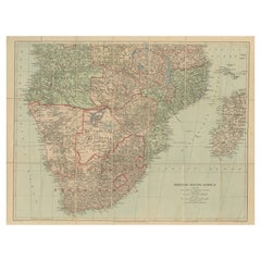
View AllAntique Maps of North-West and South Africa, 1903, Colonial Borders and Terrain
Located in Langweer, NL
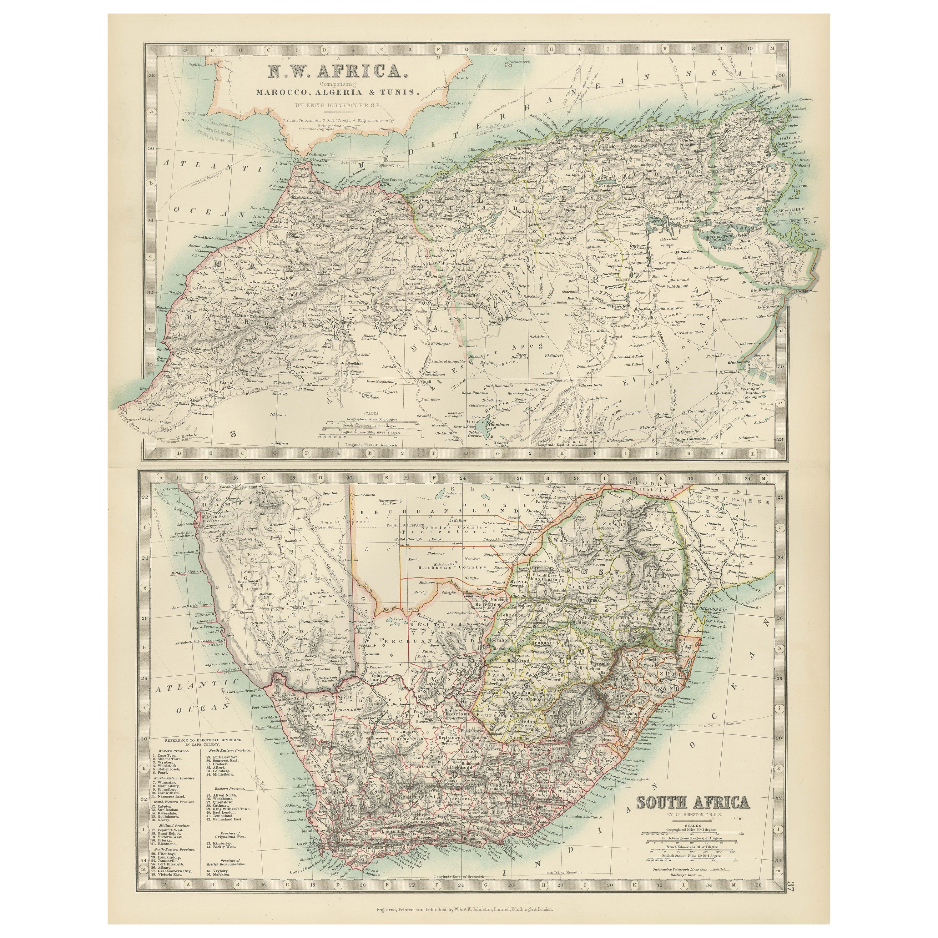
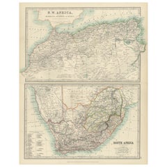
Title: Antique Maps of North-West and South Africa, 1903, Colonial Borders and Terrain
Description:
This double-plate antique map, featuring "N.W. Africa: Morocco, Algeria & Tunis" ...
Category
Early 20th Century Maps
Materials
Paper
Antique Decorative Coloured Map of South Africa and Madagascar, 1882
Located in Langweer, NL
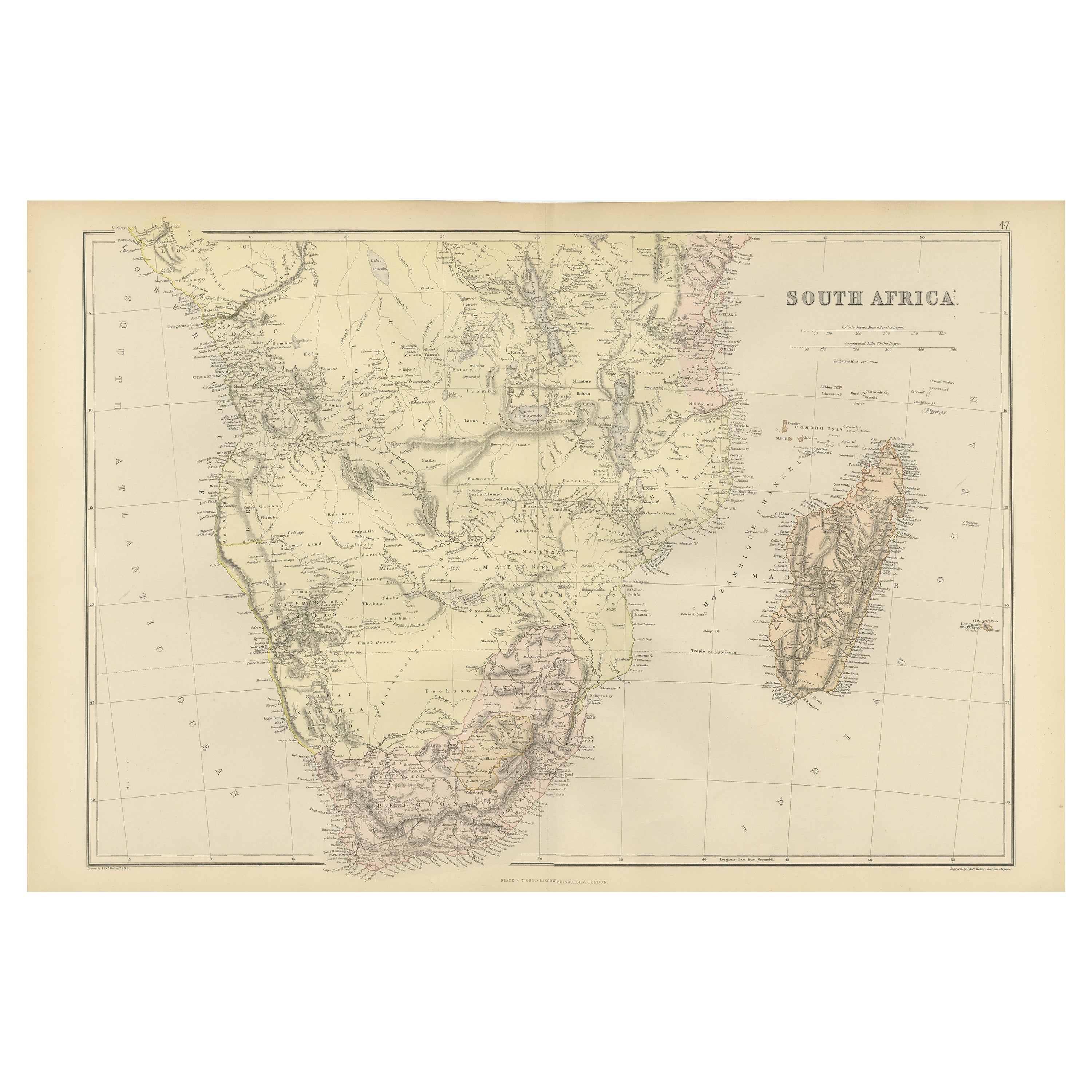
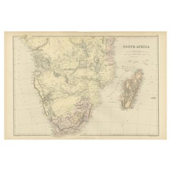
The map of South Africa is from the Blackie & Son Atlas, published in 1882. This historical map is quite interesting for several reasons:
1. **Historical Period**: This map was crea...
Category
Antique 1880s Maps
Materials
Paper
Africa Map with Egypt
South Africa Insets – Nieuwe Hand-Atlas, 1876
Located in Langweer, NL
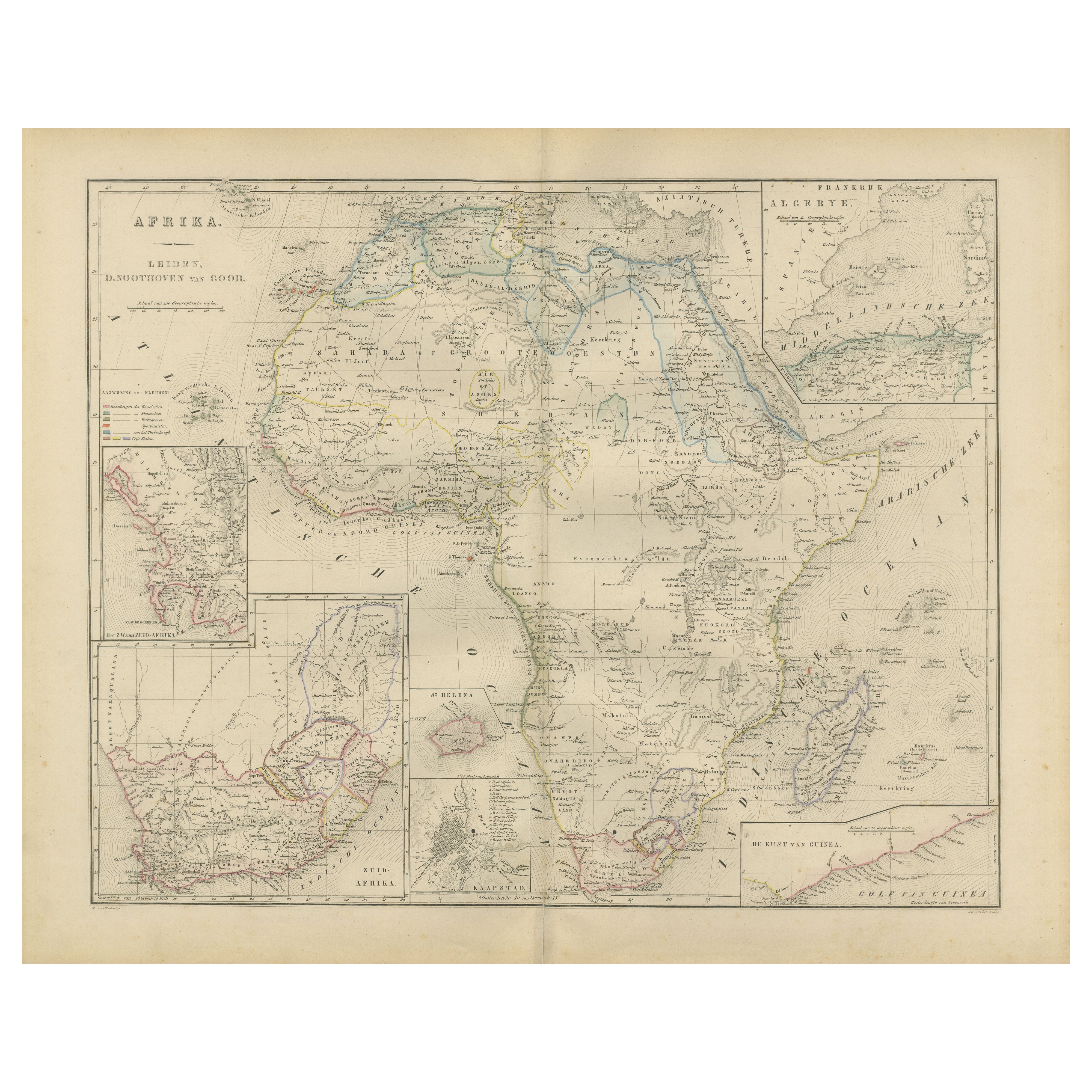
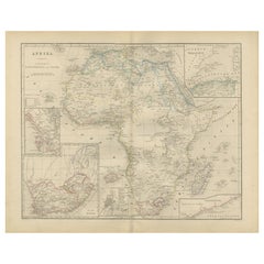
Africa Map with Egypt & South Africa Insets – Nieuwe Hand-Atlas, 1876
This 19th-century map titled “Afrika,” published in 1876 in the Nieuwe Hand-Atlas der Aarde in haren Tegenwoord...
Category
Antique 1870s Dutch Maps
Materials
Paper
Decorative Antique Map of the Southern Part of Africa, 1806
Located in Langweer, NL
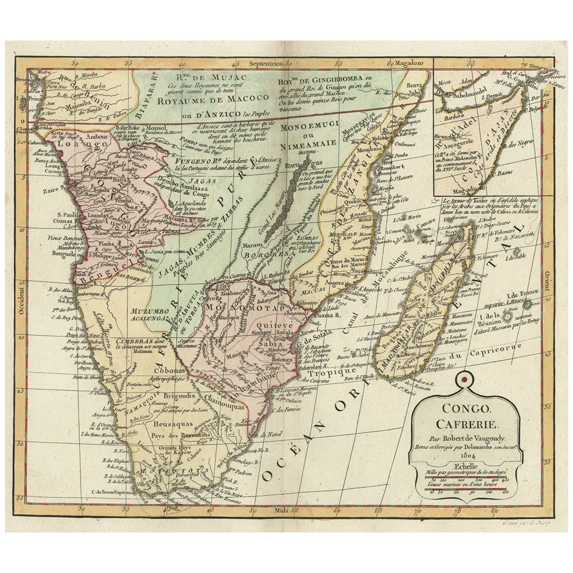
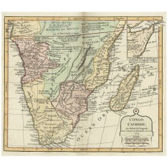
Antique map titled 'Congo, Cafrerie.'
Decorative map of the southern part of Africa by Robert de Vaugondy, revised and published by Delamarche. Source unknown, to be determined.
Artists and Engravers: Charles Francois Delamarche (1740-1817) founded the important and prolific Paris based Maison Delamarche map publishing firm in the late 18th century. A lawyer by trade Delamarche entered the map business with the acquisition from Jean-Baptiste Fortin of Robert de Vaugondy's map plates...
Category
Antique Early 1800s Maps
Materials
Paper
$537 Sale Price
20% Off
Antique Map of British South Africa – Colonial Territories
Railways, c.1920s
Located in Langweer, NL
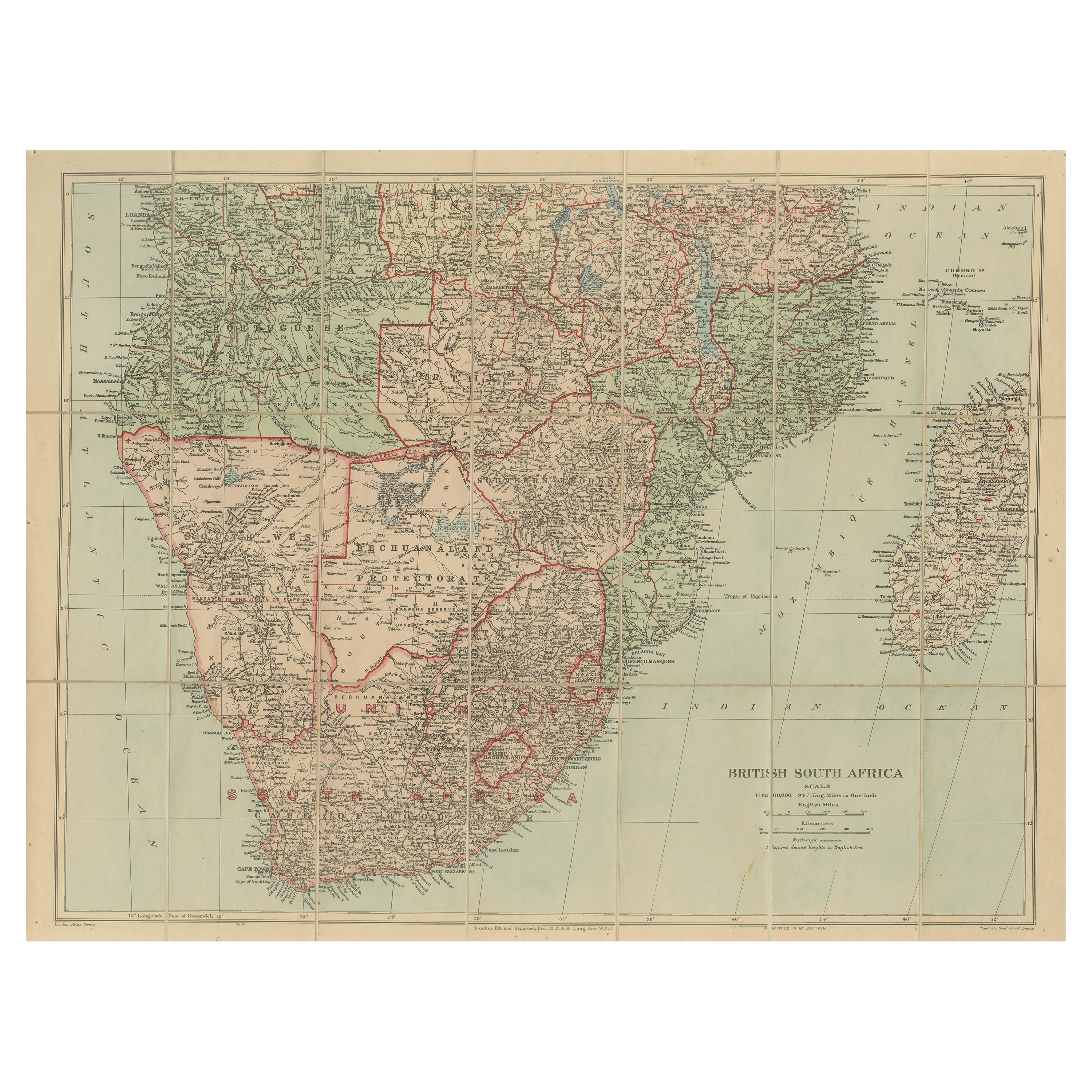
Antique Map of British South Africa – Colonial Territories & Railways, c.1920s
This large and detailed folding map depicts British South Afric...
Category
Early 20th Century English Maps
Materials
Paper
Antique Map of Southern Africa by Levasseur, 1875
Located in Langweer, NL
Antique map titled 'Afrique Méridionale'. Large map of Southern Africa. This map originates from 'Atlas de Géographie Moderne Physique et Politique' b...
Category
Antique Late 19th Century French Maps
Materials
Paper

You May Also Like
Africa. Southern Part. Century Atlas antique vintage map
Located in Melbourne, Victoria
'The Century Atlas. Africa. Southern Part'
Original antique map, 1903.
Inset maps of 'Cape Town', 'Johannesburg' and 'Ladysmith'.
Central fold as issued. Map name and number printe...
Category
Early 20th Century Victorian More Prints
Materials
Lithograph

Original Antique Map of Africa by Dower, circa 1835
Located in St Annes, Lancashire
Nice map of Africa
Drawn and engraved by J.Dower
Published by Orr & Smith. C.1835
Unframed.
Free shipping
Category
Antique 1830s English Maps
Materials
Paper

Africa. Central. Century Atlas antique vintage map
Located in Melbourne, Victoria
'The Century Atlas. Africa. Central'
Inset map of 'Madagascar'.
Original antique map, 1903.
Central fold as issued. Map name and number printed on the reverse corners.
Sheet 29.5cm...
Category
Early 20th Century Victorian More Prints
Materials
Lithograph

Africa. North-East Part. Century Atlas antique vintage map
Located in Melbourne, Victoria
'The Century Atlas. Africa. North-East Part'
Original antique map, 1903.
Inset map of 'Nile Delta and Suez Canal'.
Central fold as issued. Map name and nu...
Category
Early 20th Century Victorian More Prints
Materials
Lithograph

Large Original Vintage Map of South Africa, circa 1920
Located in St Annes, Lancashire
Great map of South Africa
Original color.
Good condition / repair to a minor edge tear middle bottom
Published by Alexander Gross
Unframed.
...
Category
Vintage 1920s English Edwardian Maps
Materials
Paper

Africa. North-West Part. Century Atlas antique vintage map
Located in Melbourne, Victoria
'The Century Atlas. Africa. Southern Part'
Original antique map, 1903.
Central fold as issued. Map name and number printed on the reverse corners.
Sheet 40cm by 29.5cm.
Category
Early 20th Century Victorian More Prints
Materials
Lithograph

More Ways To Browse
Antique Partition
Cape Of Good Hope
Beni Ourain Rugs
Glass Top Wood Base Coffee Tables
T Chair
Pair Of Danish Chairs
Veneer Dining Tables
1970 Italian Armchair
Furniture Uk
House Of Denmark Table And Chairs
Louis Marble Top Side Table
Antique Russian Rugs
Baker Furniture By
For Kids
Sterling Silver Flatware Set Service For 12
Tufted Bar
Pair Of French Antique Armchairs
1970s Brass Glass Coffee Table