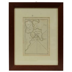
Items Similar to 1844 French Nautical Portolano of Port De Chichimé Natolie by Antoine Roux
Want more images or videos?
Request additional images or videos from the seller
1 of 10
1844 French Nautical Portolano of Port De Chichimé Natolie by Antoine Roux
$538.23
£399.66
€450
CA$739.44
A$803.92
CHF 426.24
MX$9,637.01
NOK 5,417.31
SEK 4,962.99
DKK 3,430.44
About the Item
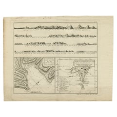
Antique portolano, nautical map of Port De Chichimé Natolie engraved on a copper plate by Antoine Roux, Marseille France 1844, from his work Recueil des principaux plans des ports et de Rades de la Mer Méditerranée et la Mer Noire. Very good condition. Measures with frame cm 38 x 31 - inches 15 x 12.
Joseph Roux came from a family of hydrographers and with his son Joseph Junior had a specialized tipography in Marseille. In 1764 Roux made a work named Recueil des principaux plans des ports et de Rades de la Mer Méditerranée et la Mer Noire, small, very handy because of its maneuverability and in fact reprinted several times until 1848.
Shipping is insured by Lloyd's London.
- Creator:Antoine Roux (Maker)
- Dimensions:Height: 12.21 in (31 cm)Width: 14.97 in (38 cm)Depth: 0.79 in (2 cm)
- Materials and Techniques:
- Place of Origin:
- Period:
- Date of Manufacture:1844
- Condition:
- Seller Location:Milan, IT
- Reference Number:1stDibs: LU1020220362412
About the Seller
5.0
Gold Seller
Premium sellers maintaining a 4.3+ rating and 24-hour response times
Established in 1999
1stDibs seller since 2014
402 sales on 1stDibs
Typical response time: 6 hours
- ShippingRetrieving quote...Shipping from: Milan, Italy
- Return Policy
More From This Seller
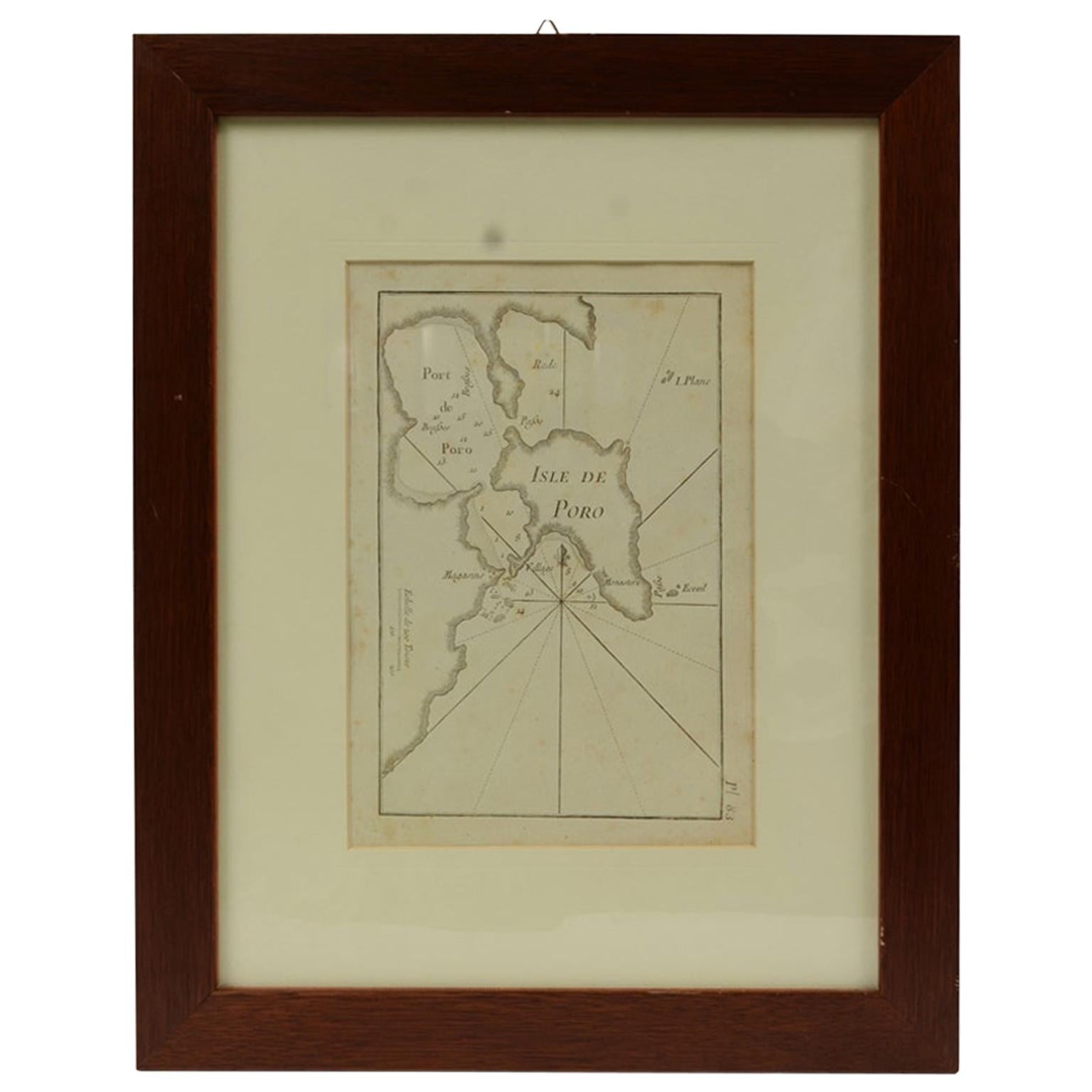
View AllAntique Nautical Portolano of Isle De Poro by Antoine Roux, France, 1844
By Antoine Roux
Located in Milan, IT
Antique portolano, nautical map of Isle De Poro engraved on a copper plate by Antoine Roux, Marseille France 1844, from his work Recueil des principaux plans des ports et de Rades de...
Category
Antique 1840s French Nautical Objects
Materials
Paper
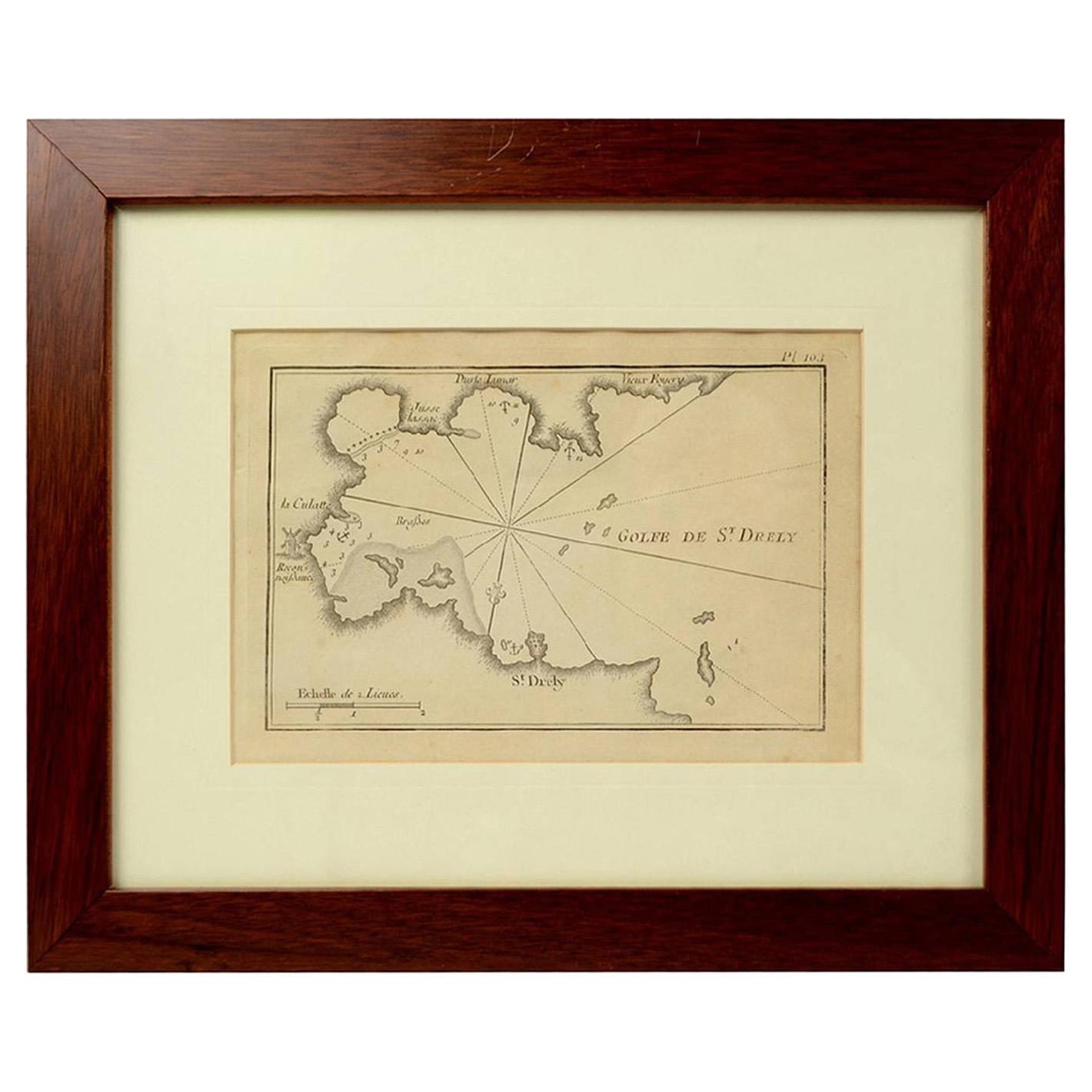
1844 French Antique Nautical Portolano of Golfe De St. Drely by Antoine Roux
By Antoine Roux
Located in Milan, IT
Antique portolano, nautical map of Golfe De St. Drely engraved on a copper plate by Antoine Roux, Marseille France 1844, from his work Recueil des principaux plans des ports et de Ra...
Category
Antique 1840s French Nautical Objects
Materials
Paper

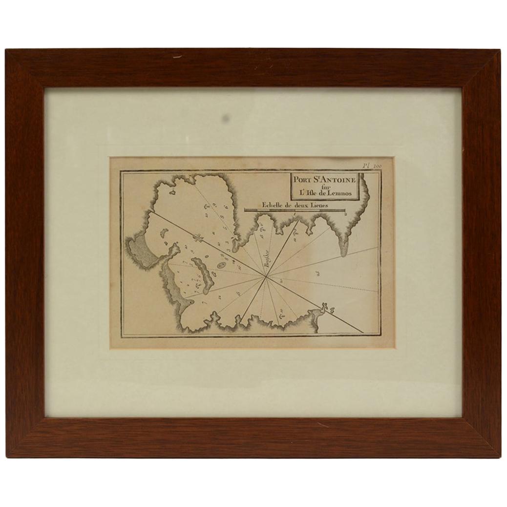
Antique Nautical Portolano of Port St. Antoine by Antoine Roux, France, 1844
By Antoine Roux
Located in Milan, IT
Antique portolano, nautical map of Port St. Antoine engraved on a copper plate by Antoine Roux, Marseille, France, 1844, from his work Recueil des principaux plans des ports et de Ra...
Category
Antique 1840s French Nautical Objects
Materials
Paper

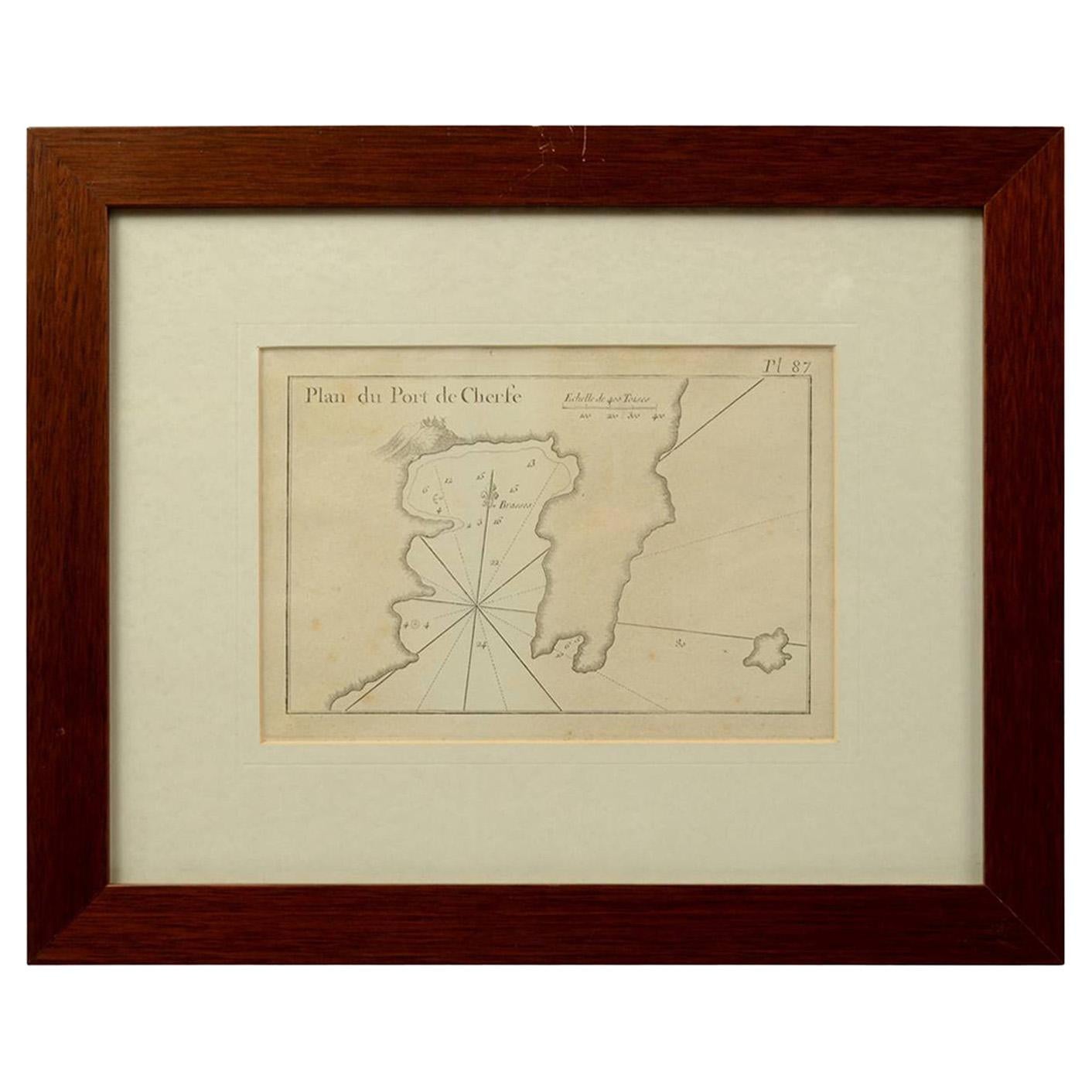
1844 French Antique Nautical Portolan of Plan du Port de Cherfe by Antoine Roux
By Antoine Roux
Located in Milan, IT
Antique portolano, nautical map of Plan du Port de Cherfe engraved on a copper plate by Antoine Roux, Marseille France 1844, from his work Recueil des principaux plans des ports et d...
Category
Antique 1840s French Nautical Objects
Materials
Paper

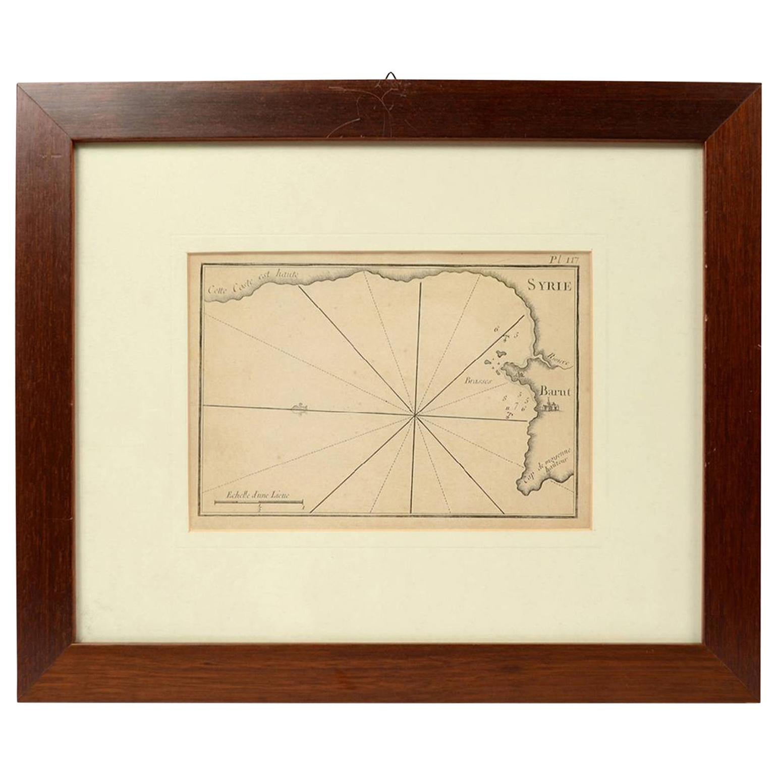
1844 French Antique Nautical print Engraved Portolano of Syrie by Antoine Roux
By Antoine Roux
Located in Milan, IT
Antique portolano, nautical map of Syrie engraved on a copper plate by Antoine Roux, Marseille France 1844, from his work Recueil des principaux plans des ports et de Rades de la Mer...
Category
Antique 1840s French Nautical Objects
Materials
Paper

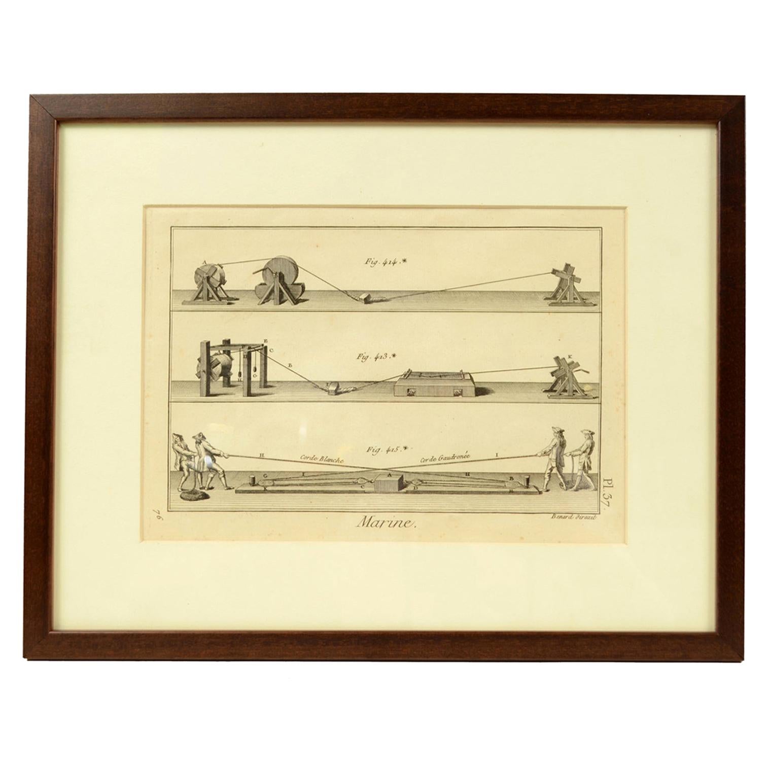
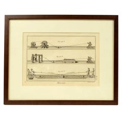
Engraving Print from the Panckoucke Encyclopédie Nautical Subject, 1782-1832
Located in Milan, IT
Print by engraving on copper plate from the Panckoucke Encyclopédie méthodique, end of the 18th century, volume Marine Planches (more than 1,500 figures dealing with all subjects on the marina: planes, construction, carpentry, tree trunks, armaments of maneuvers, ropes, sails, artillery, ship maneuvers and combat tactics). This is the plate no. n. 26, pag. 70 fig. 350-353; with frame cm 38.3 x 31.5. Ship ropes are depicted. The Print has the "Benard direxit...
Category
Antique 1790s French Nautical Objects
Materials
Paper
You May Also Like
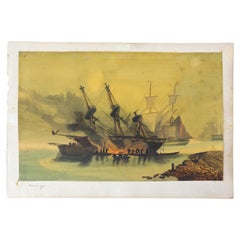
Painting Representing, French, 19th Century
Located in Labrit, Landes
French 19th century, painting of a boat fairing.
This scene represents a boat fairing and sealing with tar by the sea. Today, as much as possible, boats are put in dry dock to carry...
Category
Antique Mid-19th Century French Nautical Objects
Materials
Paint, Paper
$526 Sale Price
32% Off
19th Century Nautical Chart of Martinique
Located in Norwell, MA
Original map of Martinique from 1887 with chartered waters around the island. Prepared from a French survey, completed in 1825, showing town, ports, rivers and tributaries. Published...
Category
Antique 19th Century Nautical Objects

Map Of The Island Of Cuba - Guillaume Thomas Raynal (1711-1796)
Located in Porto, PT
This historical map of the Island of Cuba was produced in the late 18th century and is taken from an edition of “Atlas de toutes les parties connues du globe terrestre” by the French...
Category
Antique 18th Century Prints
Materials
Glass, Paper

Original Antique Map of the Harbour of Tongatabu by Cook, 1784
Located in Langweer, NL
Antique map titled 'Sketch of Tongataboo Harbour (..)'. Antique map of the harbour of Tongatabu, one of the Tonga Islands. Originates from an edition of Cook's Voyages.
Artists an...
Category
Antique 18th Century Maps
Materials
Paper

$421 Sale Price
20% Off
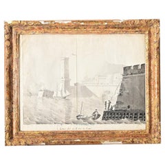
French 19th Century Framed Seaside Lithograph
Located in Baton Rouge, LA
French 19th century framed lithograph print of a seaside fort at some unknown locale, simply titled Chateau fort sur le bord de la mer, translating to a “castle on the seaside.” Rend...
Category
Antique 19th Century French Other Prints
Materials
Glass, Wood, Paper
Antique Map of the Strait of Le Maire by Cook, 1803
Located in Langweer, NL
Antique map titled 'Kaart van de Good Success Baai in de Straat van Le Maire (..)'. Antique map of the Strait of Le Maire between Terra Fuego and Staten Island. On top, various coast...
Category
Antique 19th Century Maps
Materials
Paper
$602 Sale Price
20% Off