Items Similar to Rare Town Plan of Jerusalem, Includes an Extensive Key to Locations etc, 1708


Want more images or videos?
Request additional images or videos from the seller
1 of 5
Rare Town Plan of Jerusalem, Includes an Extensive Key to Locations etc, 1708
$1,376.14
£1,027.83
€1,150
CA$1,895.88
A$2,066.18
CHF 1,094.13
MX$24,816.98
NOK 13,851.94
SEK 12,735.49
DKK 8,761.01
About the Item
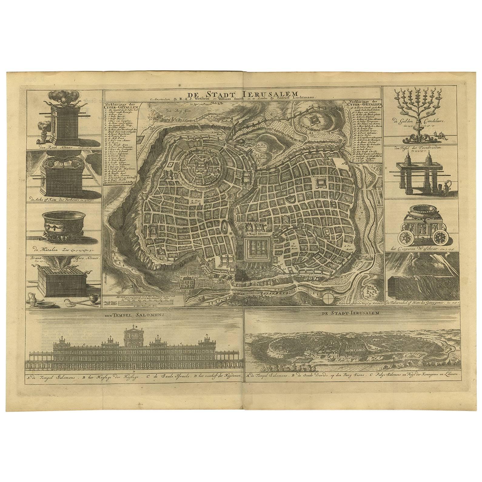
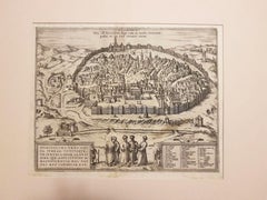
Antique map titled 'Eigentliche Vorstellung der Statt Jerusalem und derselben umliegenden Gegenden zu Salomonis auch zu und kurtz nach Christi Zeiten.'
Rare town plan of Jerusalem. Includes an extensive key to locations etc. This map originates from 'Biblia : das ist die gantze Heilige Schrift, Altes und Neues Testaments / verteutscht von Doctor Martin Luther: und auf gnädigste Verordnung des durchleuchtigsten Fürsten und Herrn/ Herrn Ernsts/ Hertzogen zu Sachsen (..)' published by Johann Andrea Endters Seel, Sohn und Erben 1708. The first edition appeared in 1641.
Artists and Engravers: Anonymous.
Condition: Good, given age. Soiling in the margins. Light vertical crease right of middle fold. Original middle fold as issued. General age-related toning and/or occasional minor defects from handling. Please study image carefully.
- Dimensions:Height: 16.34 in (41.5 cm)Width: 19.49 in (49.5 cm)Depth: 0 in (0.02 mm)
- Materials and Techniques:
- Period:1700-1709
- Date of Manufacture:1708
- Condition:Wear consistent with age and use.
- Seller Location:Langweer, NL
- Reference Number:Seller: PCT-61459 1stDibs: LU3054326709752
About the Seller
5.0
Recognized Seller
These prestigious sellers are industry leaders and represent the highest echelon for item quality and design.
Platinum Seller
Premium sellers with a 4.7+ rating and 24-hour response times
Established in 2009
1stDibs seller since 2017
2,788 sales on 1stDibs
Typical response time: <1 hour
- ShippingRetrieving quote...Shipping from: Langweer, Netherlands
- Return Policy
More From This Seller
View AllAntique Bible Plan of Ancient Jerusalem, 1743
Located in Langweer, NL
This plan originates from ‘Biblia Sacra, dat is, de H. Schriftuer van het Oude, en het Nieuwe Testament, naer de laetste Roomsche keure der gemeine Latijnsche overzettinge, in nederd...
Category
Antique Mid-18th Century Maps
Materials
Paper

$819 Sale Price
37% Off
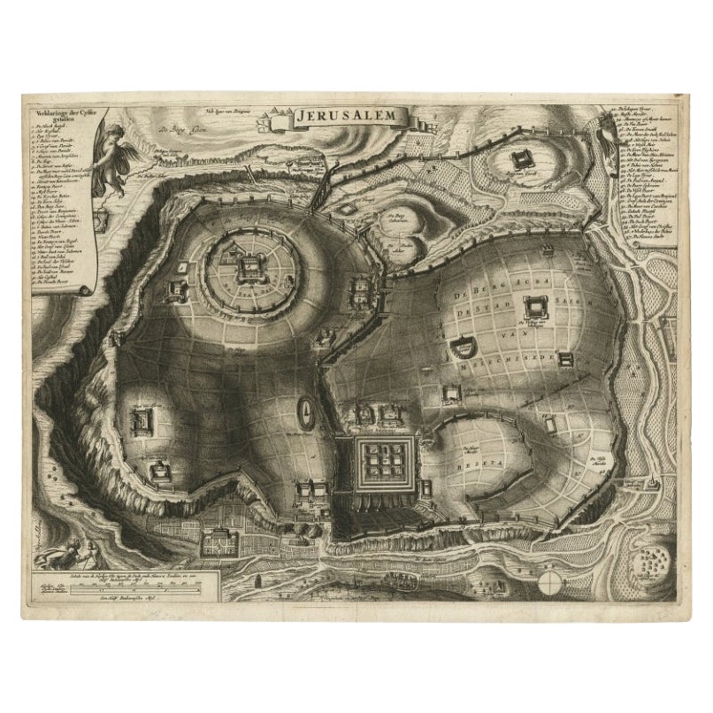
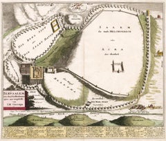
Antique Detailed Map of Jerusalem in Israël with Extensive Key and Scale, 1698
Located in Langweer, NL
Antique map titled 'Jerusalem.'
Plan of the ancient city of Jerusalem. With extensive key and scale. Source unknown, to be determined.
Artists and Engravers: Made by 'Cornelis de...
Category
Antique 17th Century Dutch Maps
Materials
Paper

$622 Sale Price
20% Off
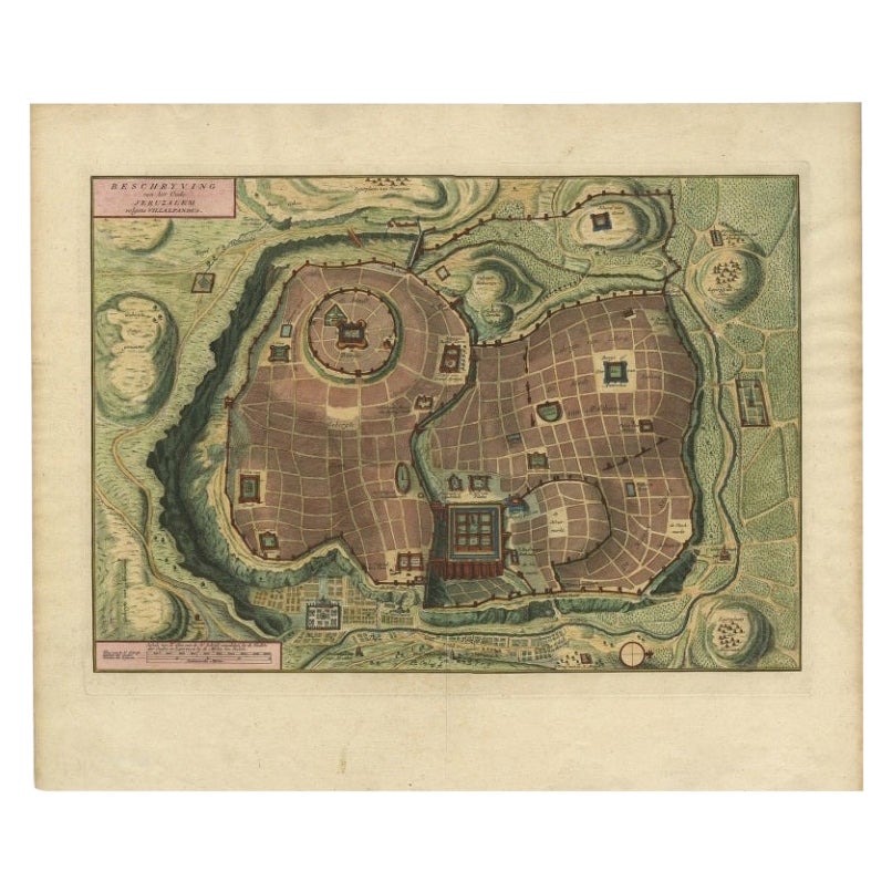
Bird
s Eye Plan of the Ancient City of Jerusalem Based on Old Records, c.1725
Located in Langweer, NL
Antique map titled 'Beschryving van het oude Jeruzalem volgens Villalpandus.'
Bird's eye plan of the ancient city of Jerusalem based on Villalpando's foundation map. The plan shows...
Category
Antique Early 18th Century French Maps
Materials
Paper

Spectacular Antique Original Engraving of a Town Plan of Jerusalem, 1708
Located in Langweer, NL
Description: Antique map titled 'Erster Abriss der Stadt Jerusalem wie sie Furnemblich zur Zeit des Hernn Christi beschaffen (..).'
Spectacular town plan...
Category
Antique Early 1700s Maps
Materials
Paper

Antique Bible Plan of Jerusalem by Covens
Mortier, 1743
Located in Langweer, NL
This plan originates from ‘Biblia Sacra, dat is, de H. Schriftuer van het Oude, en het Nieuwe Testament, naer de laetste Roomsche keure der gemeine Latijnsche overzettinge, in nederd...
Category
Antique Mid-18th Century Maps
Materials
Paper

Plan of Ancient Jerusalem – Cornelis de Bruijn’s Engraved City View c.1698
Located in Langweer, NL
Plan of Ancient Jerusalem – Cornelis de Bruijn’s Engraved City View c.1698
This antique map titled Jerusalem is an intricate plan of the ancient city, richly detailed and marked wit...
Category
Antique Late 17th Century Dutch Prints
Materials
Paper
$516 Sale Price
20% Off
You May Also Like
1597 German Map of Alexandria by Georg Braun and Frans Hogenberg
By Georg Braun and Frans Hogenberg
Located in Chapel Hill, NC
1597 Map of Alexandria by Georg Braun and Frans Hogenberg, Germany. From "Civitas Orbis Terrarum", part 2, published in Cologne by Bertram Buchholz. Printed in 2 parts. Title: "Alexa...
Category
Antique 16th Century German Renaissance Maps
Materials
Paper

$480 Sale Price
20% Off
1633 Map "La Souverainete De Sedan Et De Raucourt, Et La Prevoste Ric0011
Located in Norton, MA
1653 map entitled
"La Souverainete de Sedan et de Raucourt, et la Prevoste de Doncheri,"
Ric0011
Description:
Lovely map centered on Sedan and Doncheri and the Meuze River fr...
Category
Antique 17th Century Dutch Maps
Materials
Paper

Jerusalem, Antique Map from "Civitates Orbis Terrarum" - 1572-1617
By Franz Hogenberg
Located in Roma, IT
Braun G., Hogenberg F., Jerusalem, from the collection Civitates Orbis Terrarum, Cologne, T. Graminaeus, 1572-1617.
Image dimensions: cm 32.8 x 41; dimensions: cm 41 x 54; Passepart...
Category
16th Century Landscape Prints
Materials
Etching
Map of Biblical Jerusalem
Located in New York, NY
Original copper engraving hand-colored at the time of publication. Nuremberg, 1720.
Category
1720s Prints and Multiples
Materials
Paper
1640 Flandriae Partes Duae Quarum Altera Proprietaria, Ric0016
Located in Norton, MA
1640 Willem and Joan Blaeu map entitled
"Flandriae Partes duae quarum altera Proprietaria, altera Imperialis vulgo dictur,"
Ric0016
(Mounted on Carboard)
Willem Janszoon Blaeu...
Category
Antique 17th Century Dutch Maps
Materials
Paper
Italian Parchment Map of the City of Pisa Dated, 1640
By Matthäus Merian the Elder
Located in Florence, Tuscany
An antique map of the Tuscan city of Pisa engraved for The 'Itinerarium Italiæ Nov-antiquæ' by Matthäus Merian the Elder and printed in 1640....
Category
Antique 1640s Italian Maps
Materials
Paper
