Items Similar to Framed Print of an Antique German Map of Morocco

Want more images or videos?
Request additional images or videos from the seller
1 of 8
Framed Print of an Antique German Map of Morocco
$1,200
£908.10
€1,041.20
CA$1,678.80
A$1,827.42
CHF 969.35
MX$21,999.84
NOK 12,308.22
SEK 11,264.23
DKK 7,776.44
About the Item
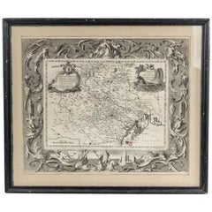
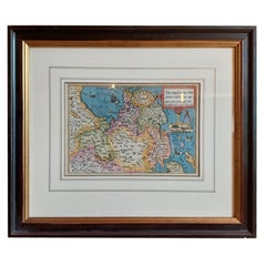
Antique German map (print) of Morocco (circa 1728) featuring a central map above two city views depicted below and an upper scenic cartouche featuring figures and animals, printed on archival paper and framed under a sage green mat in a black wooden rectangular frame. (HOMANN)
Condition: Good; Wear consistent with age and use
- Dimensions:Height: 28.5 in (72.39 cm)Width: 30 in (76.2 cm)Depth: 1 in (2.54 cm)
- Style:Biedermeier (Of the Period)
- Materials and Techniques:
- Place of Origin:
- Period:
- Date of Manufacture:Circa 1955
- Condition:Wear consistent with age and use. Good; Wear consistent with age and use.
- Seller Location:Queens, NY
- Reference Number:Seller: NWL65841stDibs: LU977940479972
About the Seller
4.9
Recognized Seller
These prestigious sellers are industry leaders and represent the highest echelon for item quality and design.
Platinum Seller
Premium sellers with a 4.7+ rating and 24-hour response times
Established in 1939
1stDibs seller since 2013
1,052 sales on 1stDibs
Typical response time: <1 hour
- ShippingRetrieving quote...Shipping from: Long Island City, NY
- Return Policy
More From This Seller
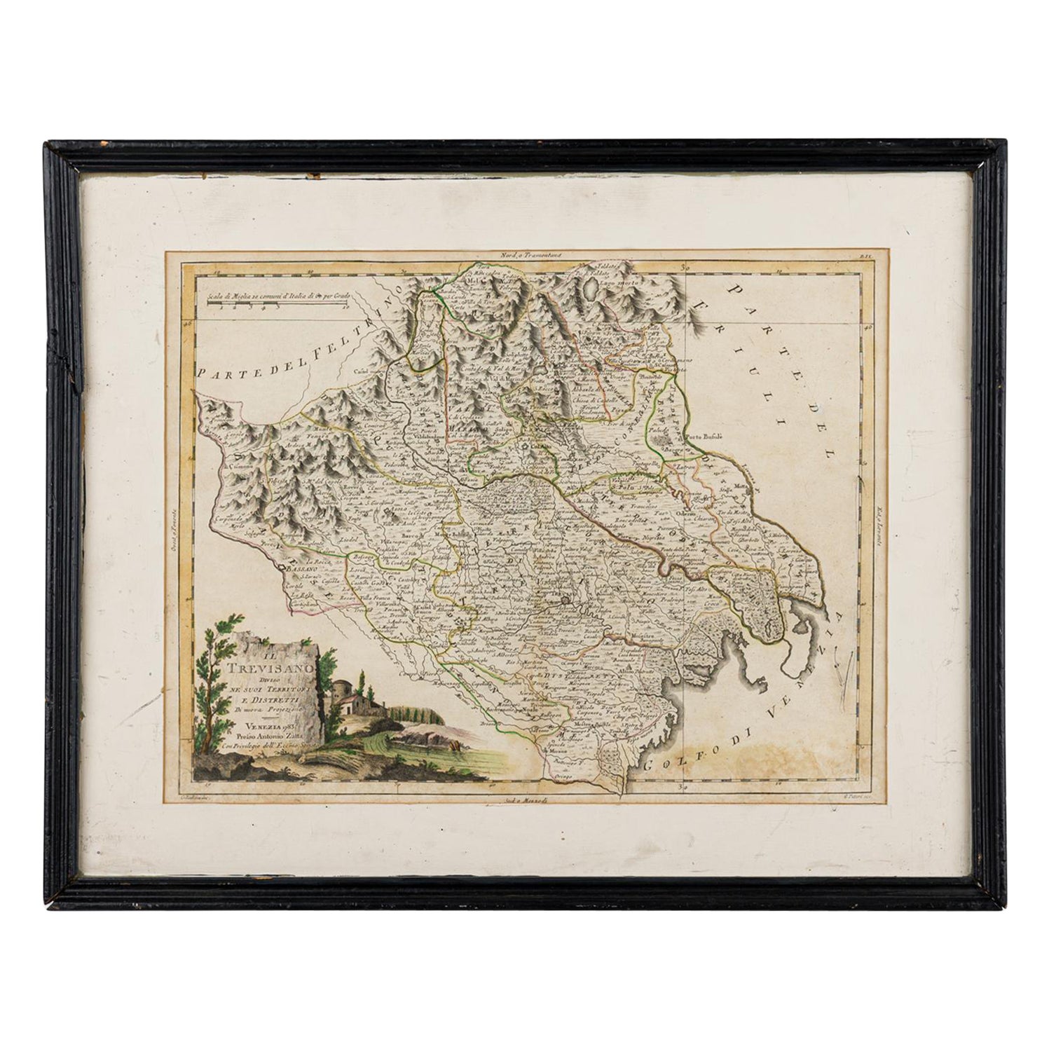
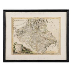
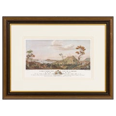
View AllItalian Neo-Classic Framed Print of a Regional Map of Italy
Located in Queens, NY
Italian Neo-classic style print of a regional map of Italy in a black painted wooden frame.
Category
Antique 19th Century Italian Neoclassical Prints
Materials
Paint
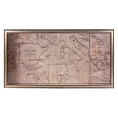
Large Framed Map of the Mediterranean
Located in Queens, NY
Large map/chart chart of The Mediterranean and the Grecian Archipelago showing Italy, Sardinia, Corsica, part of France, etc. in a black frame
Category
Mid-20th Century American Mid-Century Modern Paintings
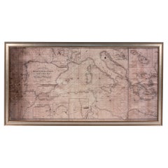
Large Framed Map of the Mediterranean
Located in Queens, NY
Large map/chart chart of The Mediterranean and the Grecian Archipelago showing Italy, Sardinia, Corsica, part of France, etc. in a black frame.
Category
20th Century French Mid-Century Modern Maps
Italian Neo-Classic Map of Italy
Located in Queens, NY
Italian Neo-classic style framed print of map of Italy
Category
20th Century Italian Neoclassical Paintings
Materials
Paper
French Louis XVI Style Framed Colored Print of Grenadian Topography
Located in Queens, NY
French Louis XVI pre-revolution reproduction print in a walnut and gilt trim frame titled: \"Le Port St. George\", depicting French colonial settlers surveying the port in Grenada (N...
Category
Antique 18th Century French Louis XV Prints
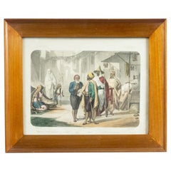
French Victorian Algerian Scene Lithograph
Located in Queens, NY
French Victorian birch framed colored lithograph of Algerian scene
Category
Antique 19th Century French Moorish Paintings
Materials
Birch
You May Also Like
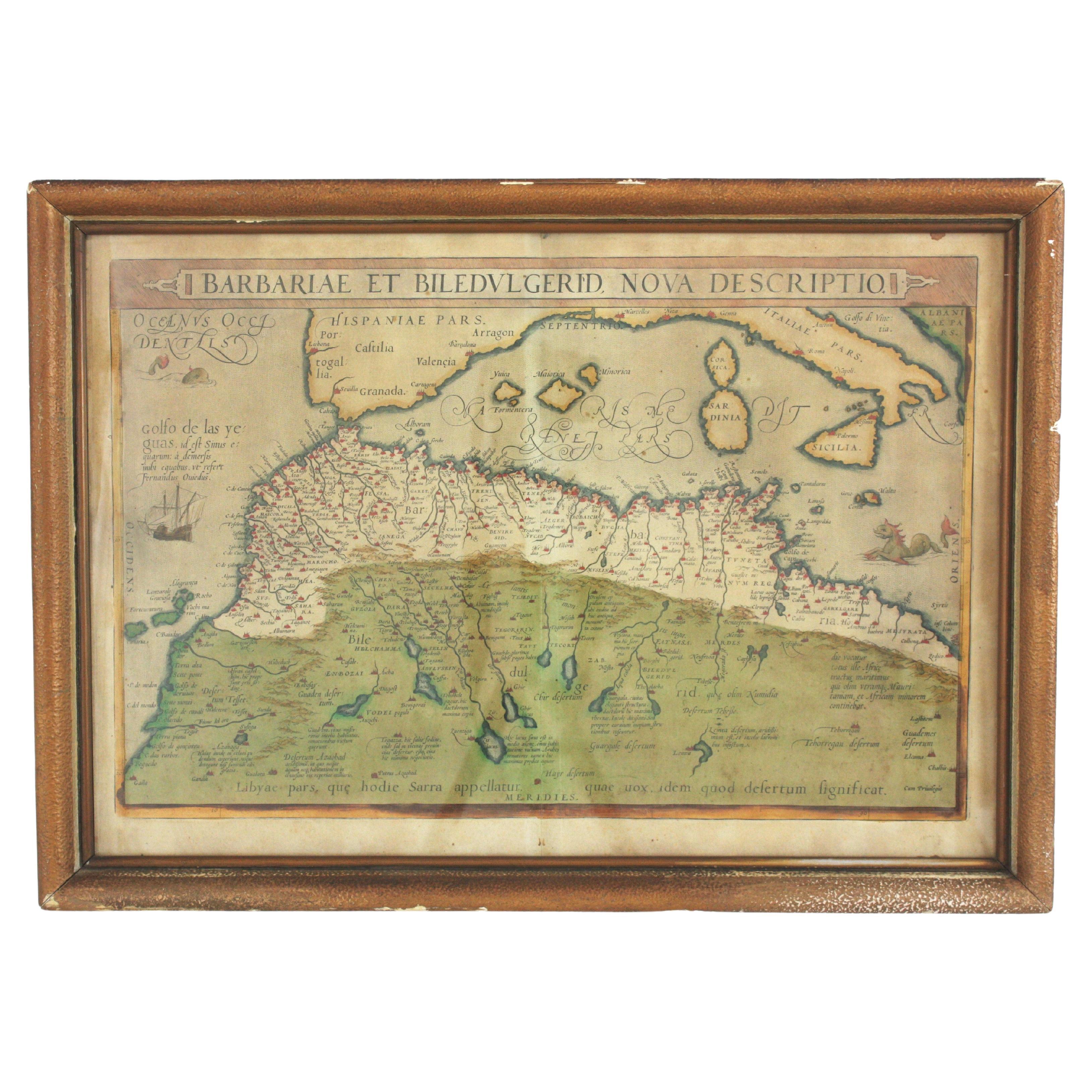
Hand Colored Framed Map Print of North Africa
By Abraham Ortelius
Located in Barcelona, ES
Original antique map of North Africa
Antique framed map print titled 'Barbariae et Biledulgerid Nova Descriptio'.
Artist: Abraham Ortelius (1527 -1598)
Published by A. Ortelius, ci...
Category
20th Century European Spanish Colonial Prints
Materials
Giltwood, Paper

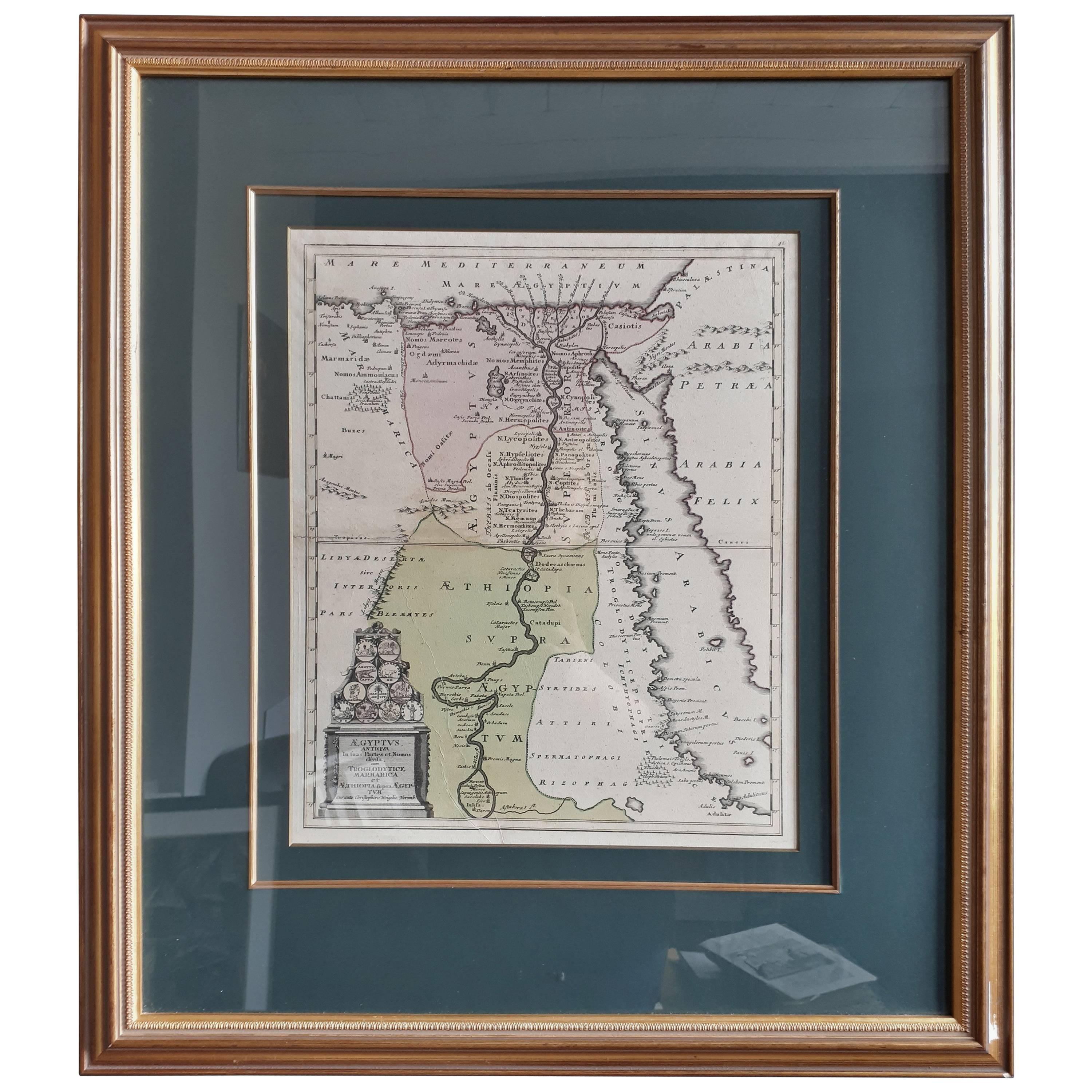
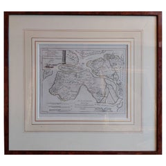
Original Antique Map of Egypt in Frame by C. Weigel, circa 1720
Located in Langweer, NL
The map is an antique depiction of ancient Egypt, divided into its regions and nomes, also including areas like Troglodytica, Marmarica, and Ethiopia above Egypt. Christophorus Weige...
Category
Antique Early 18th Century German Maps
Materials
Paper
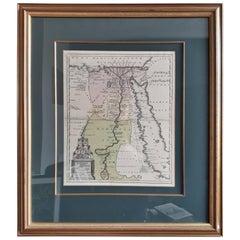
$876 Sale Price
25% Off
Antique Lithography Map, West Africa, English, Framed, Cartography, Victorian
Located in Hele, Devon, GB
This is an antique lithography map of Western Africa. An English, framed atlas engraving of cartographic interest by John Rapkin, dating to the early Victorian period and later, circ...
Category
Antique Mid-19th Century British Early Victorian Maps
Materials
Wood

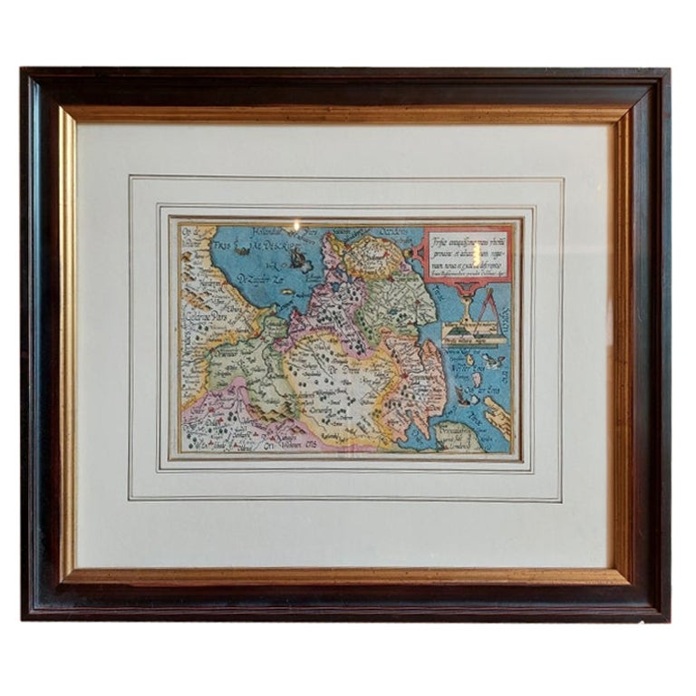
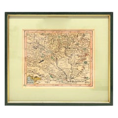
Antique Map of Friesland by Bussemacher in Frame, c.1592
Located in Langweer, NL
Original antique map titled 'Frisiae Antiquissimae (..)'. Original antique map of Friesland. Published by J. Bussemacher, circa 1592. Artists and Engravers: Bussemacher was active as...
Category
Antique 18th Century Maps
Materials
Paper
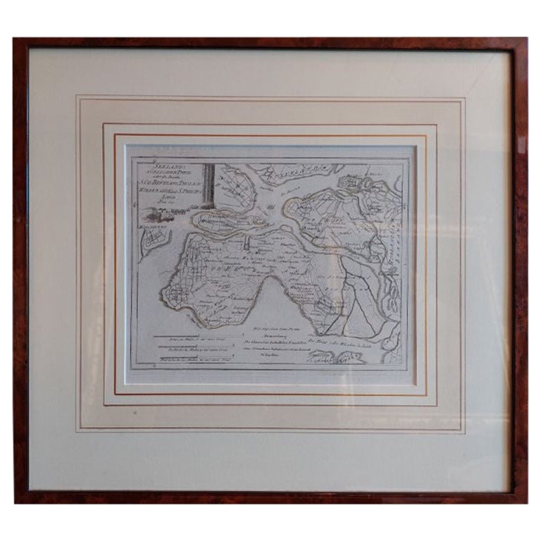
Antique Map of Southern Zeeland by Von Reilly, 1790
Located in Langweer, NL
"Antique map titled 'Seelands südlicher Theil oder die Inseln Süd Beverland, Tholen, Wolfersdyk und S. Philipsland'. Original antique map of the southern portion of the province of Z...
Category
Antique 18th Century Maps
Materials
Paper
$189 Sale Price
20% Off
1970s Framed Antique Map of Hungaria Hungary 1629 Original
Located in Nuernberg, DE
An extraordinary original antique map, framed in the 1970s by Brehm Nuremberg, Germany, showing Hungary. Map is dated 1629 and approx. 7 ¼" wide and 6 ?" high in viewable size. Frame...
Category
Vintage 1970s Decorative Art
Materials
Glass, Wood
More Ways To Browse
Morocco Map
Patrick William Kelly
Paul Emile Borduas
Paul Kontny
Paul Montgomery Diptych
Paul Stagg
Paul Zimmerman Watercolors
Paula Sussman
Pedro Friedeberg Giclee
Peter Keil Beatles
Philip Moose
Piero Antonelli
Pierre Cambier Painting
Pierre Eugene Cambier
Pierre Morot
Plaster Birds On Wall
Poletti Painting
Preben Rasmussen