Items Similar to Fort Vancouver, Washington Territory, U.S. Railroad Survey View – ca.1850

Want more images or videos?
Request additional images or videos from the seller
1 of 11
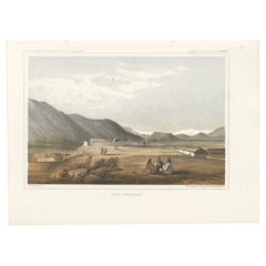
Fort Vancouver, Washington Territory, U.S. Railroad Survey View – ca.1850
$334.38
£249.85
€280
CA$461.23
A$505.26
CHF 265.95
MX$6,030.42
NOK 3,390.18
SEK 3,099.14
DKK 2,133.38
About the Item
Fort Vancouver, Washington Territory, U.S. Railroad Survey View – ca.1850
This historically important 19th-century print titled Fort Vancouver, W.T. presents a detailed panoramic view of Fort Vancouver during the era of U.S. government railroad and territorial surveys. The scene depicts the fort and its surrounding settlement laid out along broad roads and cultivated fields, with wagons, horseback riders, and agricultural activity animating the foreground. In the distance, forested hills and waterways situate the fort within the vast landscape of the Pacific Northwest.
The print was issued as part of the official U.S. Pacific Railroad Explorations and Surveys, 47th
49th Parallels, and is identified at the top margin as General Report – Plate XLIV. It was drawn by G. Sohon and lithographed by Sarony, Major
Knapp of New York, one of the most prominent American lithographic firms of the mid-19th century. Sohon served as an artist and topographical draftsman on several government expeditions, and his views are valued for their documentary accuracy and clarity.
Fort Vancouver was a key military, trading, and logistical center in the Washington Territory, originally established by the Hudson’s Bay Company and later taken over by the U.S. Army. This view captures the fort at a transitional moment, reflecting the shift from fur-trade dominance to American military and civilian settlement. The careful depiction of roads, buildings, fences, and cultivated land underscores the federal government’s interest in surveying, mapping, and ultimately integrating the western territories into national infrastructure.
The image combines cartographic precision with picturesque composition. The elevated viewpoint allows for a comprehensive understanding of the settlement’s layout, while the inclusion of daily activity gives the scene narrative vitality. As part of an official survey publication, this print functioned both as a scientific record and as visual evidence of American expansion in the Pacific Northwest.
This work is highly appealing to collectors of Western Americana, U.S. military history, Pacific Northwest history, railroad exploration material, and government survey prints. It also holds strong decorative appeal as a structured yet scenic view of early American settlement.
Condition report
Good antique condition. Light age toning and scattered foxing, mainly in the margins, consistent with age. The image area remains clear and well-defined. A visible plate mark is present. No major tears or losses observed.
Framing suggestions
A dark walnut or black frame with a wide off-white mat will complement the historical character of the print. A double mat with a subtle darker inner line enhances depth and gives a refined, archival presentation.
Technique: Lithograph
Maker: Sarony, Major
Knapp after G. Sohon, New York, c. 1850s–1860s
- Dimensions:Height: 8.27 in (21 cm)Width: 11.26 in (28.6 cm)Depth: 0.01 in (0.2 mm)
- Materials and Techniques:Paper,Engraved
- Place of Origin:
- Period:
- Date of Manufacture:circa 1850
- Condition:Good antique condition. Light age toning and scattered foxing, mainly in the left margins, consistent with age. The image area remains clear and well-defined. A visible plate mark is present. No major tears or losses observed.
- Seller Location:Langweer, NL
- Reference Number:Seller: BG-14129-161stDibs: LU3054347993392
About the Seller
5.0
Recognized Seller
These prestigious sellers are industry leaders and represent the highest echelon for item quality and design.
Platinum Seller
Premium sellers with a 4.7+ rating and 24-hour response times
Established in 2009
1stDibs seller since 2017
2,806 sales on 1stDibs
Typical response time: 1 hour
- ShippingRetrieving quote...Shipping from: Langweer, Netherlands
- Return Policy
More From This Seller
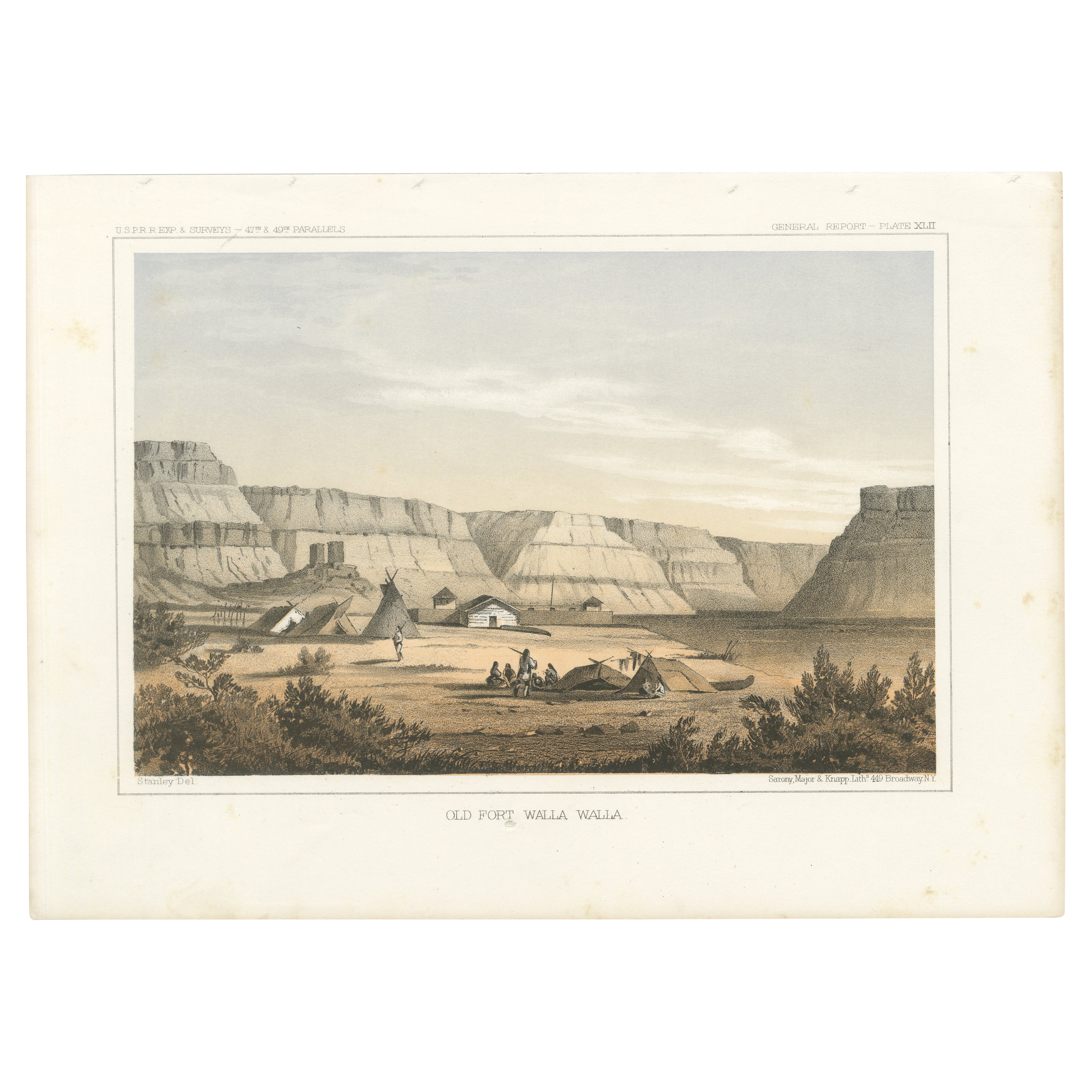
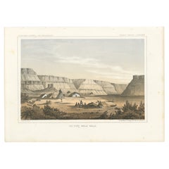
View AllOriginal Antique Tinted Lithograph of Old Fort Walla Walla in Washington, 1856
Located in Langweer, NL
Title: Tinted Lithograph of Old Fort Walla Walla, 1856
Description: This remarkable lithograph, "Old Fort Walla Walla," provides a vivid depiction of one of the key outposts in t...
Category
Antique 1850s Prints
Materials
Paper
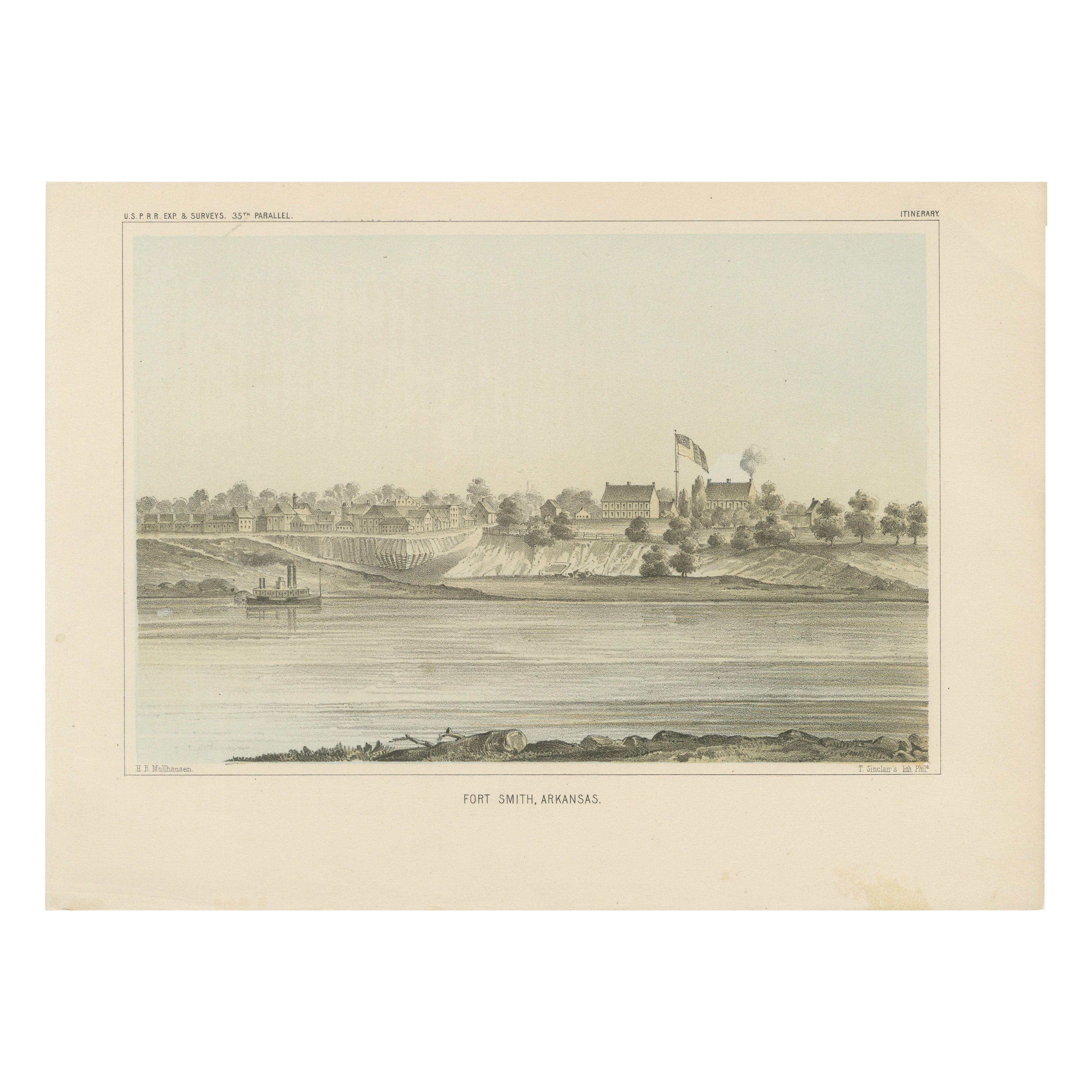
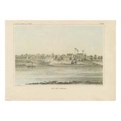
Fort Smith, Arkansas – Rare 19th Century Lithograph of Frontier History, 1856
Located in Langweer, NL
Title: Fort Smith, Arkansas – Rare 19th Century Lithograph of Frontier History
Description:
This finely detailed lithograph showcases Fort Smith, Arkansas, as it appeared in the m...
Category
Antique 1850s Prints
Materials
Paper
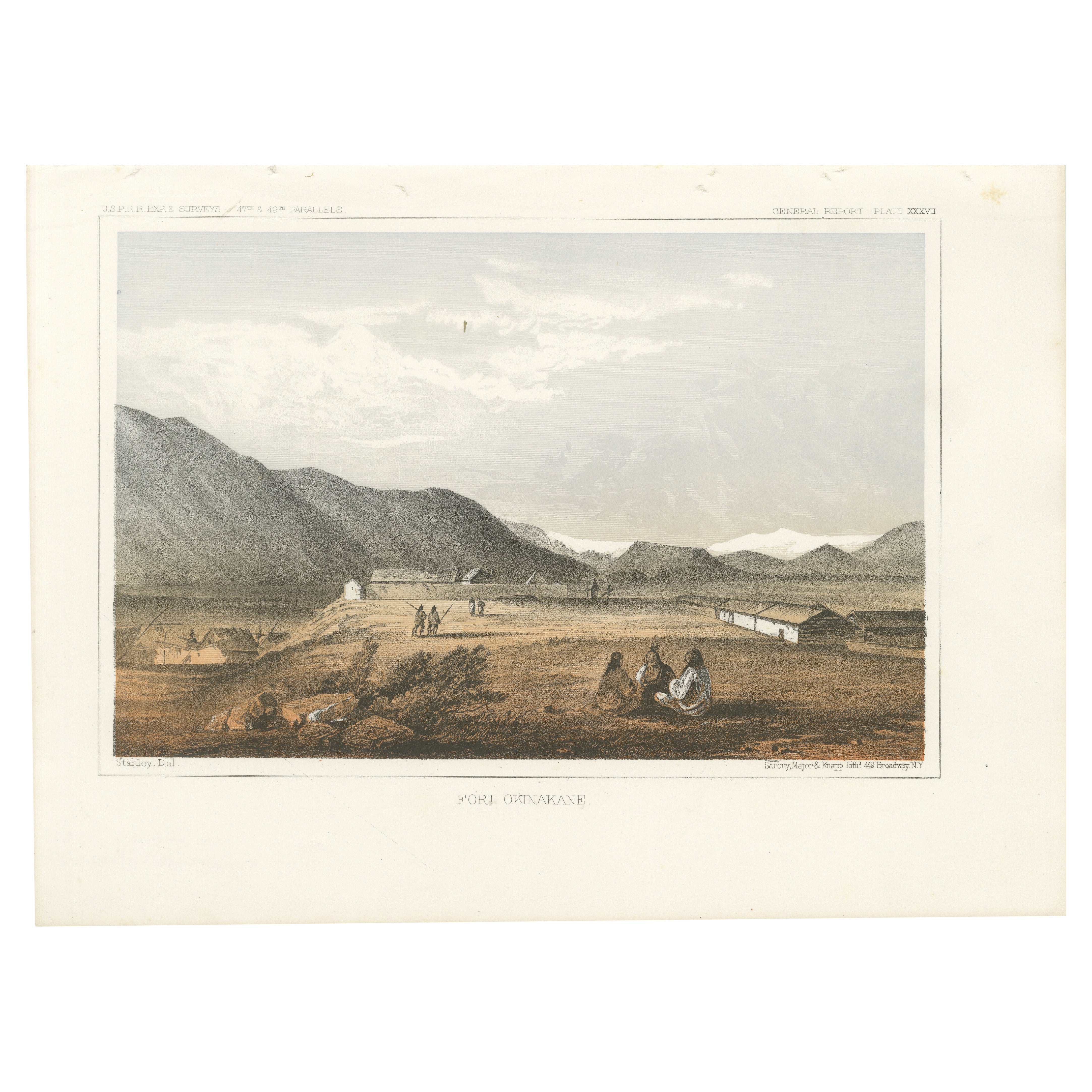
Fort Okinakane - Tinted Lithograph from the Pacific Railroad Survey, 1856
Located in Langweer, NL
Title: Fort Okinakane - Tinted Lithograph from the Pacific Railroad Survey, 1856
Description:
This historic lithograph, "Fort Okinakane," offers a glimpse into life at one of th...
Category
Antique 1850s Prints
Materials
Paper
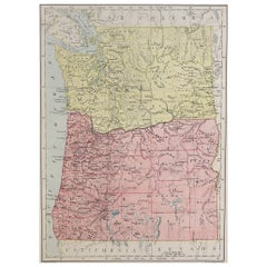
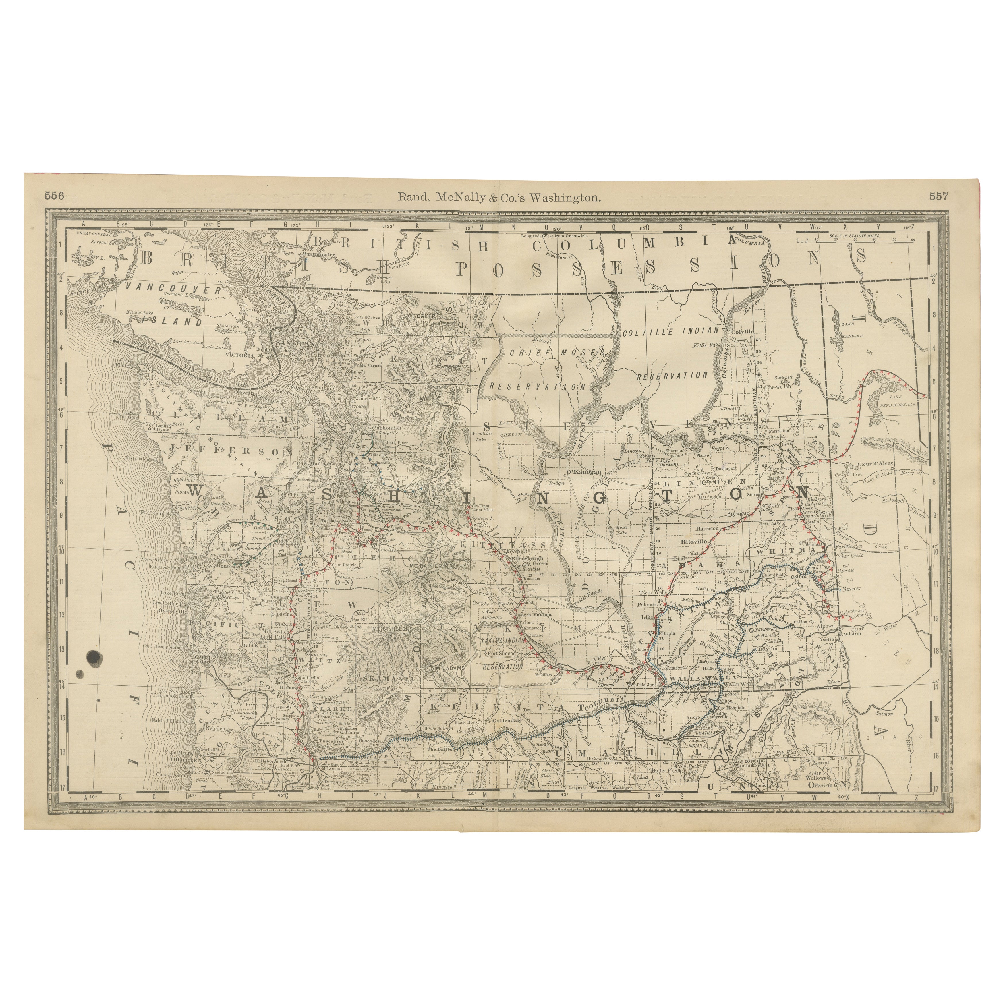
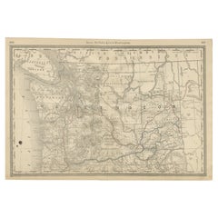
Washington Map 1888 – Antique Railroads, Indian Reservations
Counties
Located in Langweer, NL
Antique Map of Washington – Railroads, Counties & Indian Reservations, 1888
This original engraved map shows the Territory of Washington in 1888, a historically important moment jus...
Category
Antique Late 19th Century American Maps
Materials
Paper
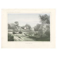
Tinted Lithograph of Hudson Bay Mill, Washington State, 1856
Located in Langweer, NL
Title: Tinted Lithograph of Hudson Bay Mill, 1856
Description: This exquisite lithograph, "Hudson Bay Mill," captures a tranquil and picturesque scene of a water mill nestled ami...
Category
Antique 1850s Prints
Materials
Paper
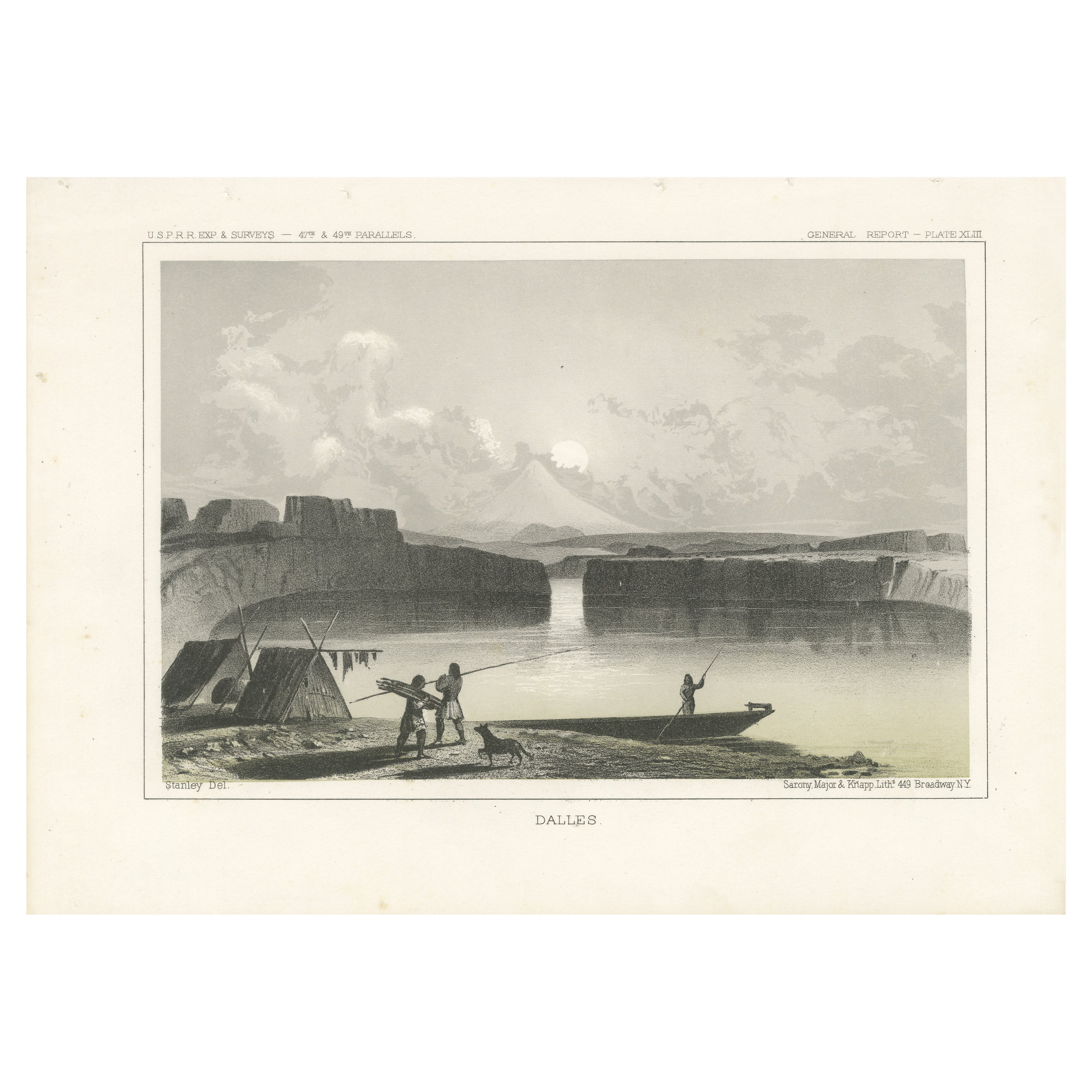
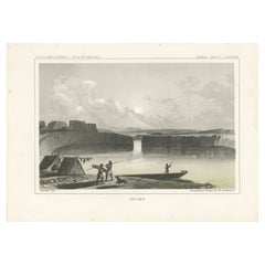
A Lithographic View of Indigenous Life Along the Columbia River in circa 1856
Located in Langweer, NL
Title: Scenic Depiction of "Dalles" - A Majestic View of Indigenous Life Along the Columbia River
Description: This exquisite lithograph titled "Dalles" captures a serene yet dynami...
Category
Antique 1850s Prints
Materials
Paper
You May Also Like
Original 1917 Railroad Map of Washington State railway map
Located in Spokane, WA
This is an Original Lithograph Vintage Railroad Map of Washington State; it is not a reproduction.
“Railroad Map of Washington, 1917, The Public Servi...
Category
1910s Academic Landscape Prints
Materials
Lithograph
$680 Sale Price
20% Off
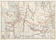
Original Antique Map of the American State of Washington, 1889
Located in St Annes, Lancashire
Great map of Washington
Drawn and Engraved by W. & A.K. Johnston
Published By A & C Black, Edinburgh.
Original colour
Unframed.
Category
Antique 1880s Scottish Victorian Maps
Materials
Paper

Washington. USA. Century Atlas state antique vintage map
Located in Melbourne, Victoria
'The Century Atlas. Washington'
Original antique map, 1903.
Central fold as issued. Map name and number printed on the reverse corners.
Sheet 29.5cm by 40cm.
Category
Early 20th Century Victorian More Prints
Materials
Lithograph
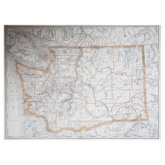
Original Antique Map of the American State of Washington, 1903
Located in St Annes, Lancashire
Antique map of Washington
Published By A & C Black. 1903
Original colour
Good condition
Unframed.
Free shipping
Category
Antique Early 1900s English Maps
Materials
Paper

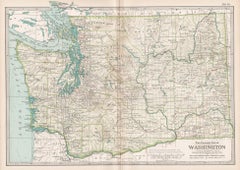
Large Original Antique Map of The State of Washington, USA, 1894
By Rand McNally
Co.
Located in St Annes, Lancashire
Fabulous map of Washington.
Original color.
By Rand, McNally & Co.
Published, 1894.
Unframed.
Free shipping.
Category
Antique 1890s American Maps
Materials
Paper
Original Antique Map of the American State of Oregon, 1889
Located in St Annes, Lancashire
Great map of Oregon
Drawn and Engraved by W. & A.K. Johnston
Published By A & C Black, Edinburgh.
Original colour
Unframed.
Category
Antique 1880s Scottish Victorian Maps
Materials
Paper