Items Similar to John Gibson - Map of New England


Want more images or videos?
Request additional images or videos from the seller
1 of 7
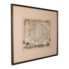
John Gibson - Map of New England
$600
£454.44
€521.91
CA$840.80
A$914.12
CHF 484.66
MX$10,957.92
NOK 6,159.84
SEK 5,643.25
DKK 3,900.64
About the Item
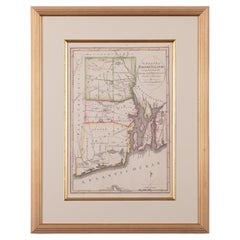
A miniature map of New England from John Gibson’s The Atlas Minimus published in 1758.
John Gibson worked in London from 1748-1773 as a geographer and engraver, producing numerous maps, his most important work being The Atlas Minimus.
sight: 3 by 4 inches
Frame: 9 by 11 inches
- Dimensions:Height: 11 in (27.94 cm)Width: 9 in (22.86 cm)Depth: 0.5 in (1.27 cm)
- Style:Other (In the Style Of)
- Materials and Techniques:
- Place of Origin:
- Period:1750-1759
- Date of Manufacture:1758
- Condition:Wear consistent with age and use. The engraving is in very good condition with light hand coloring. The framing is also good with minor wear. 600.
- Seller Location:Savannah, GA
- Reference Number:1stDibs: LU9288240236152
About the Seller
4.4
Platinum Seller
Premium sellers with a 4.7+ rating and 24-hour response times
Established in 2013
1stDibs seller since 2023
121 sales on 1stDibs
Typical response time: <1 hour
- ShippingRetrieving quote...Shipping from: Savannah, GA
- Return Policy
More From This Seller
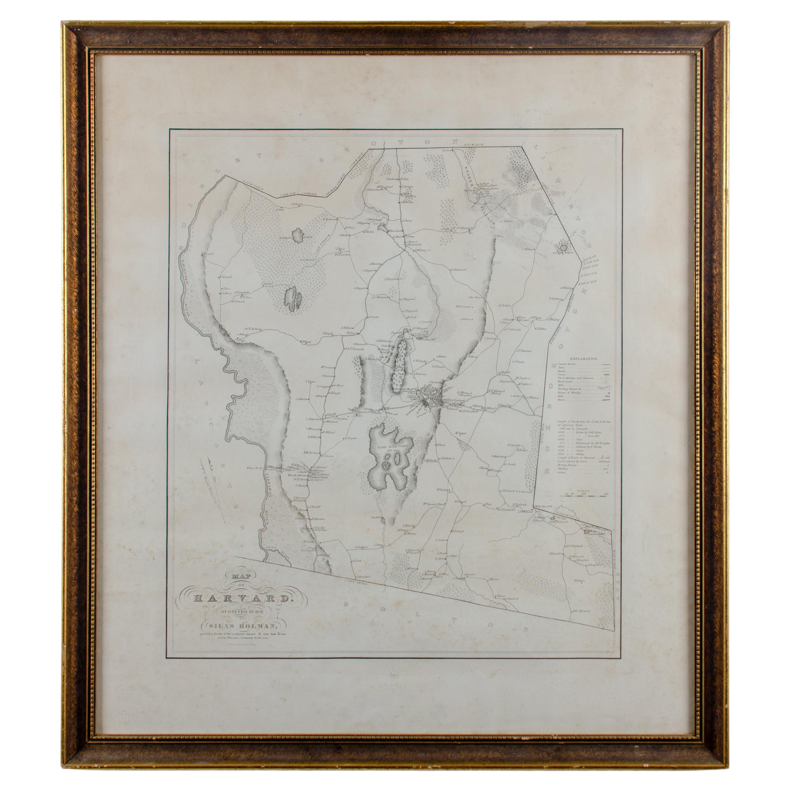
View AllSilas Holman Map of Harvard
Located in Savannah, GA
A framed historic map of Harvard, as surveyed in 1831 by Silas Holman, reproduced circa 1920s.
frame: 29 by 32 inches
Category
Vintage 1920s Other Prints
Materials
Glass, Wood, Paper
The State of Rhode Island Map - Caleb Harris
Harding Harris, 1818
Located in Savannah, GA
Mathew Carey
(American/Philadelphia, 1760-1839)
The State of Rhode Island compiled from the surveys and observations of Caleb Harris by Harding Harris. Engraving with hand-coloring...
Category
Antique 1810s American Other Prints
Materials
Glass, Wood, Paper
Von Reilly Map of the Russian Empire, 1796
Located in Savannah, GA
A map of the Russian Empire in Europe by Von Reilly. Published in Vienna, 1796.
32 inches wide by 24 ½ inches tall
Category
Antique 1790s Austrian Prints
Materials
Glass, Wood, Paper

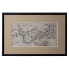
Battle of Grocka Campaign Map, 1753 - James Oglethorpe, John Lindsay, Henry Köpp
Located in Savannah, GA
A campaign map of the Battle of Grocka, 1753.
Drawn and engraved by Henry Köpp for the journals of John Lindsay, 20th Earl of Crawford and dedicated to James Oglethorpe.
sight:...
Category
Antique 1750s British Prints
Materials
Glass, Wood, Paper
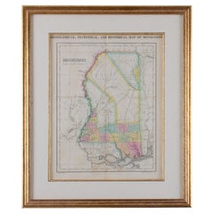
Map of Mississippi Carey
Lea, 1822
Located in Savannah, GA
Published in Philadelphia for the “Complete Historical, Chronological and Geographical American Atlas” by Henry Carey and Issac Lea, the map depicts Mississippi as it existed in 1822...
Category
Antique 1820s American Other Prints
Materials
Glass, Wood, Paper
1872 Map of Hudson, Union and Essex Counties, New Jersey
Located in Savannah, GA
A hand-colored topographical map of New Jersey’s Hudson, Union and Essex Counties from the Atlas of New Jersey by F.W. Beers, published in 1872.
sight 15 by 22½ inches
frame 20 by...
Category
Antique 1870s American Prints
Materials
Glass, Wood, Paper

You May Also Like
Antique Lithography Map, Cumberland, English, Framed, Cartography, Victorian
Located in Hele, Devon, GB
This is an antique lithography map of Cumberland. An English, framed atlas engraving of cartographic interest, dating to the mid 19th century and la...
Category
Antique Mid-19th Century British Victorian Maps
Materials
Wood

Antique Lithography Map, Bedfordshire, English, Framed Engraving, Cartography
Located in Hele, Devon, GB
This is an antique lithography map of Bedfordshire. An English, framed atlas engraving of cartographic interest, dating to the mid 19th century and...
Category
Antique Mid-19th Century British Victorian Maps
Materials
Wood

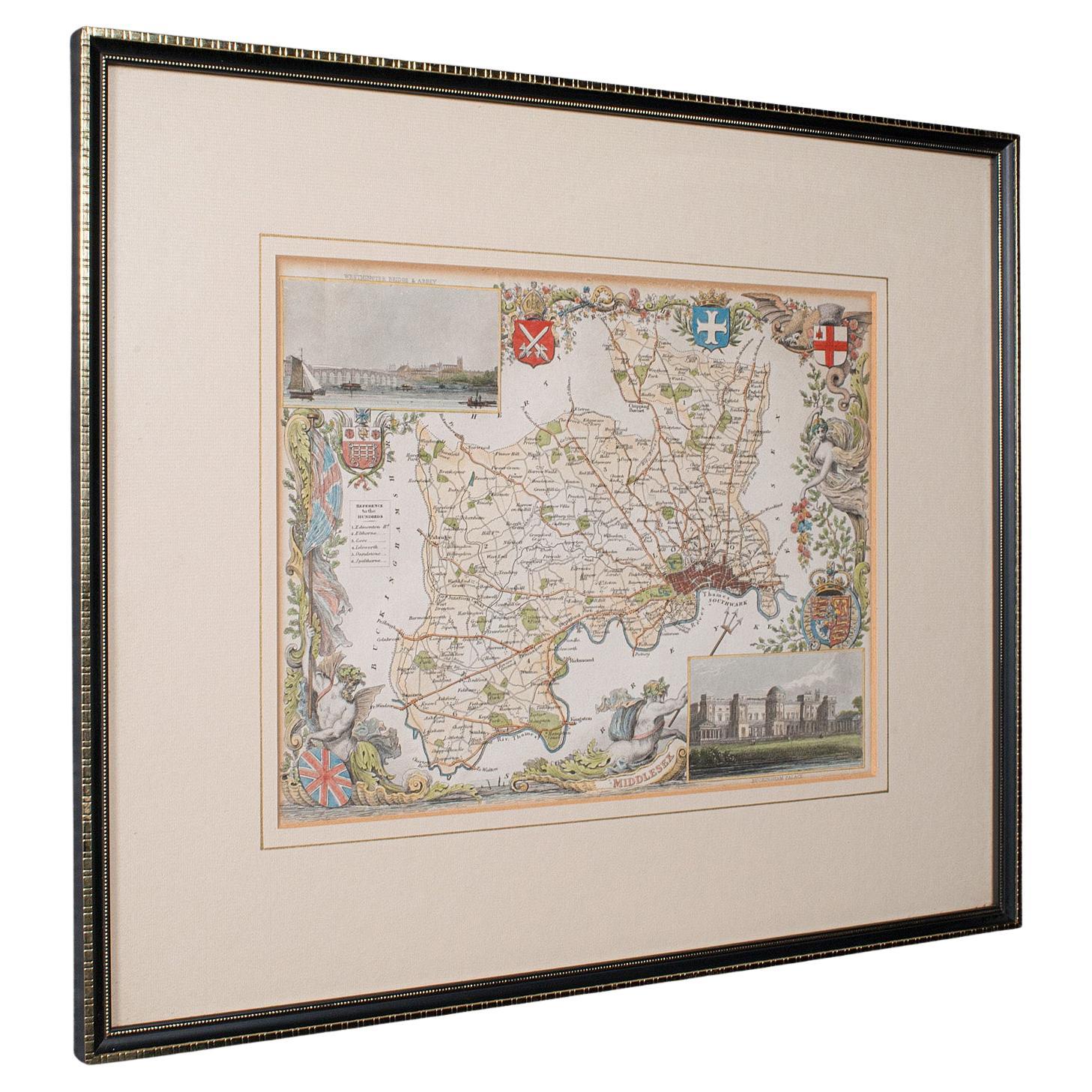
Antique County Map, Middlesex, English, Framed, Litho, Cartography, Victorian
Located in Hele, Devon, GB
This is an antique lithography map of Middlesex. An English, framed atlas engraving of cartographic interest, dating to the mid 19th century and later.
Superb lithography of Middle...
Category
Antique Mid-19th Century British Victorian Maps
Materials
Paper
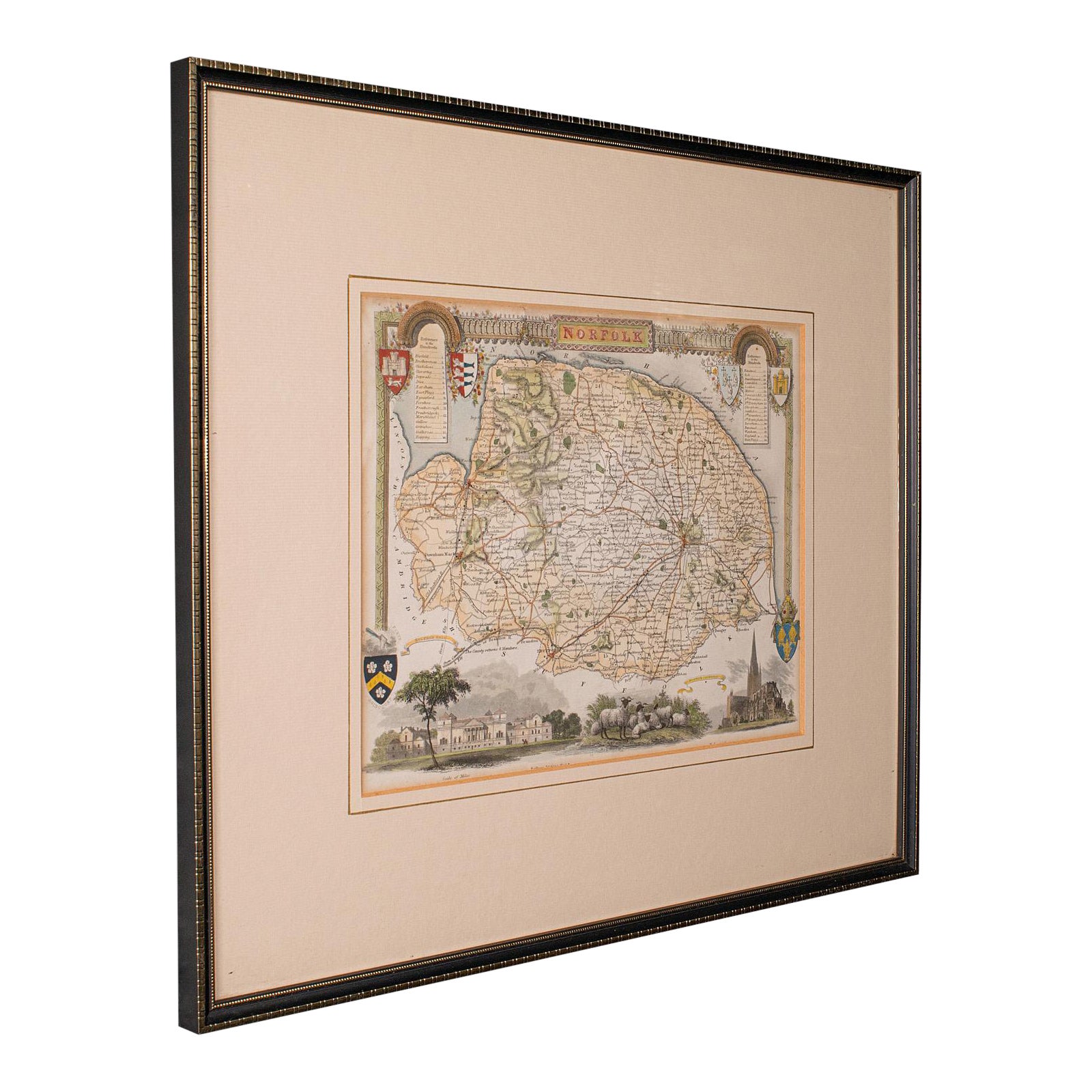
Antique County Map, Norfolk, English, Framed Lithography, Cartography, Victorian
Located in Hele, Devon, GB
This is an antique lithography map of Norfolk. An English, framed atlas engraving of cartographic interest, dating to the mid 19th century and later.
Superb lithography of Norfolk a...
Category
Antique Mid-19th Century British Victorian Maps
Materials
Glass, Wood
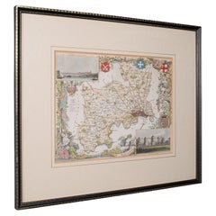
1796 Map of North Carolina by John Reid
Located in Chapel Hill, NC
1796 Map of North Carolina by John Reid. A rare & important early map of the state based on the 1795 Lewis/Carey map for his "An American Atlas". Engraved by Benjamin Tanner. Old pur...
Category
Antique Late 18th Century American Prints
Materials
Paper

Antique Lithography Map, Northumberland, English, Framed, Engraving, Cartography
Located in Hele, Devon, GB
This is an antique lithography map of Northumberland. An English, framed atlas engraving of cartographic interest, dating to the mid 19th century a...
Category
Antique Mid-19th Century British Victorian Maps
Materials
Wood

More Ways To Browse
Horse Tray
Human Leg
Iittala Glass Birds
Italian Rococo Desk
Jade Dog
Jade Horse
Jade Pot
Japanese Bird Plates
Japanese Bronze Cranes
Japanese Living Treasure
Japanese Maple Art
Japanese Meiji Imari Plates
Japanese Screen Cherry
Japanese Shunga
Japanese Theater Mask
Jesus And Joseph
John Stuart Walnut Dining
John Wanamaker